EstuaryWatch Data Portal
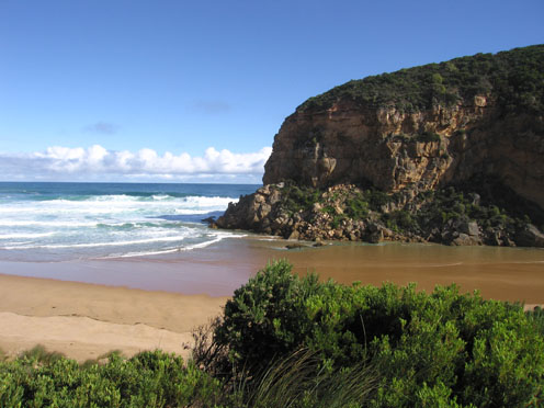
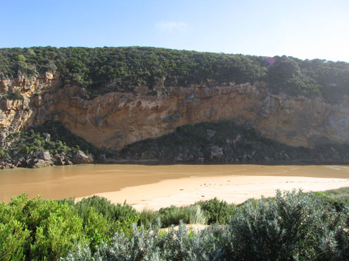
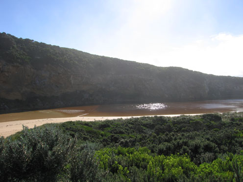
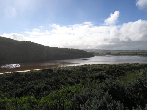
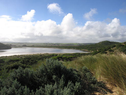
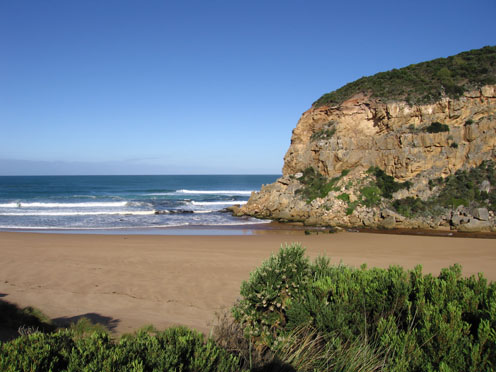
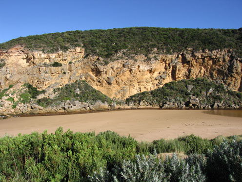
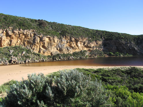
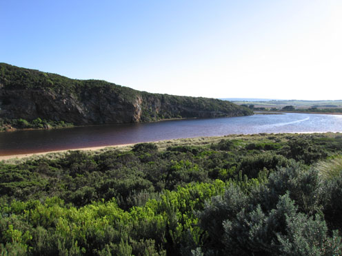
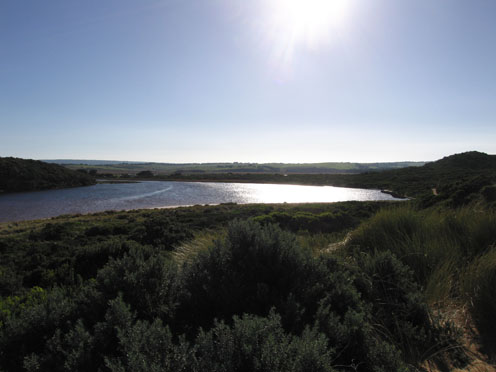
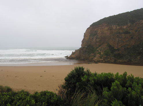
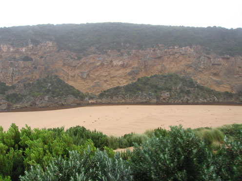
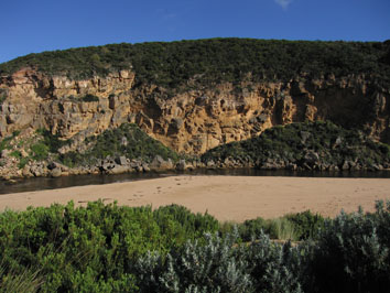
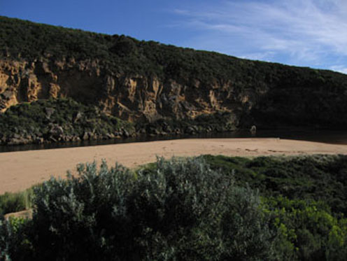
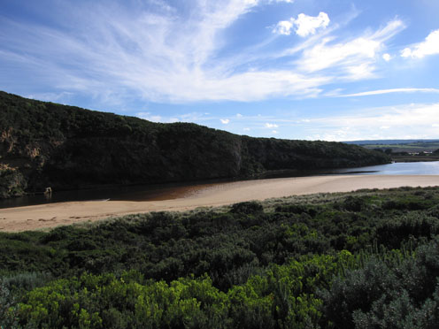
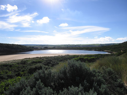
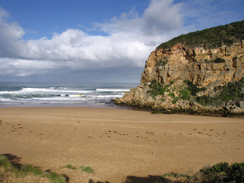
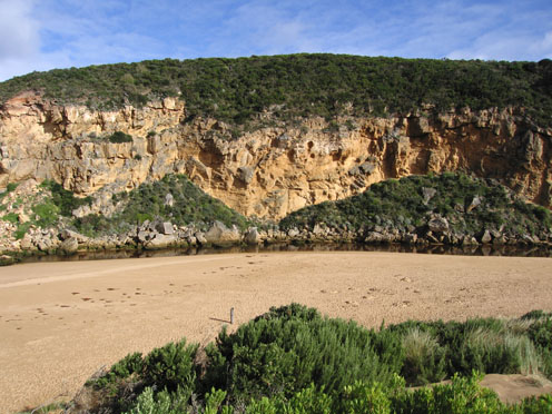
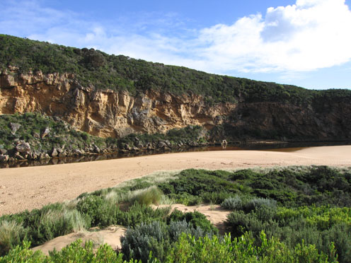
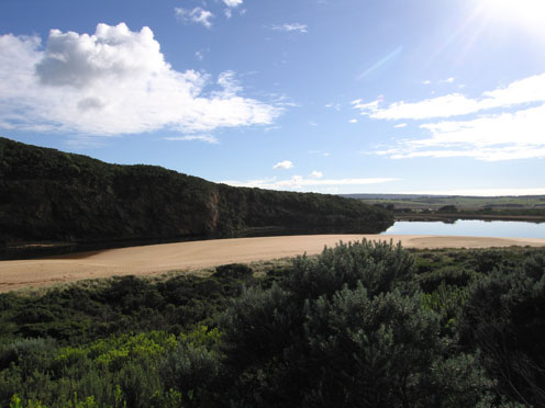
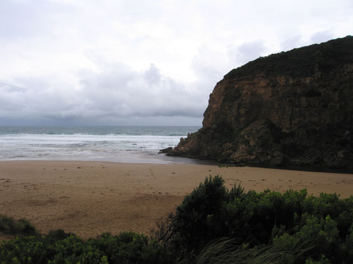
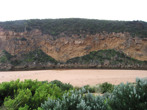
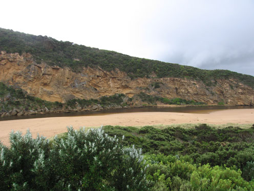
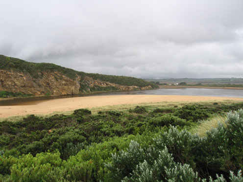
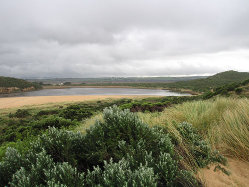
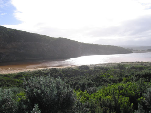
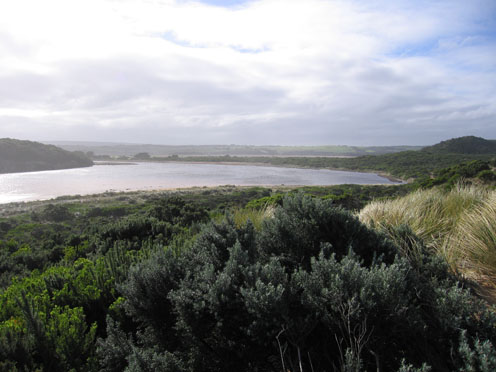
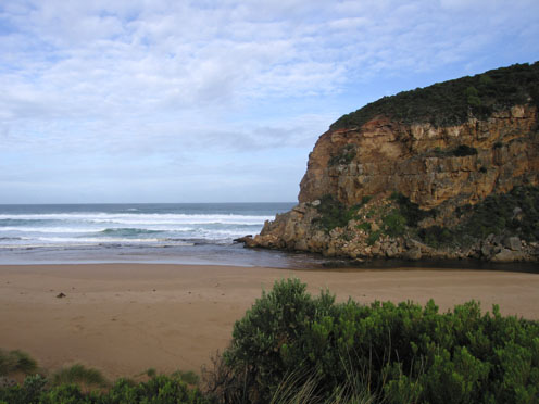
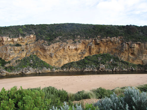
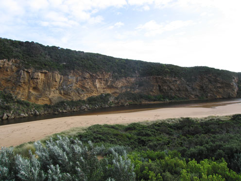
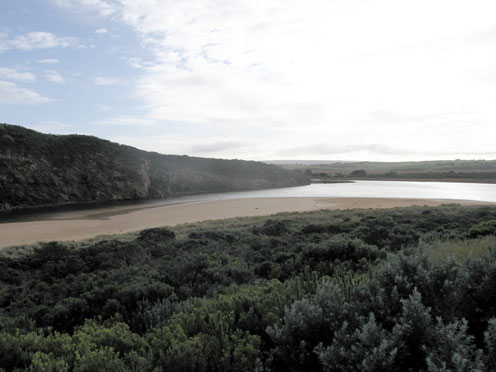
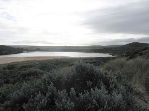
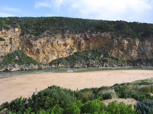
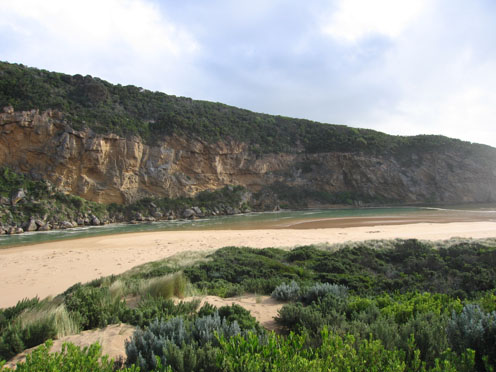
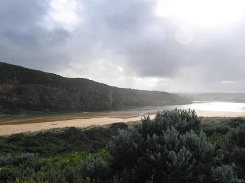
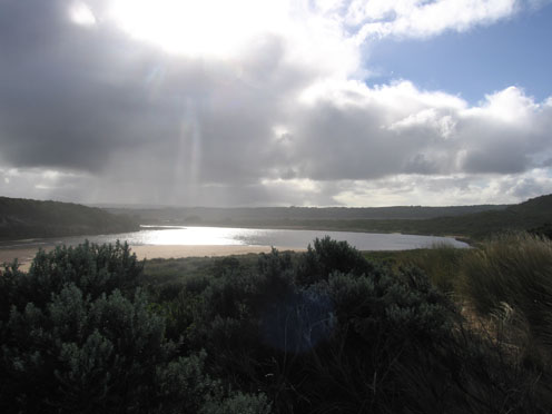
GMC Gellibrand River Estuary Mouth Observation Site
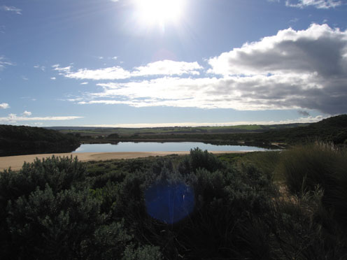
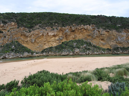
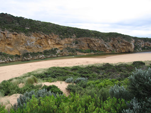
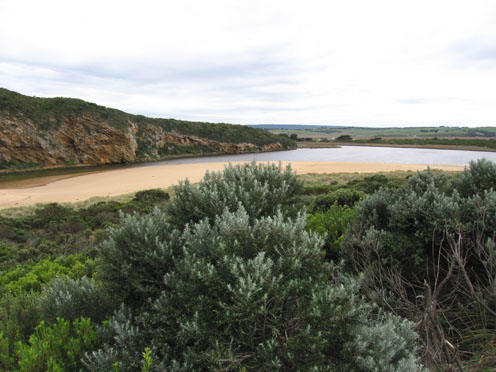
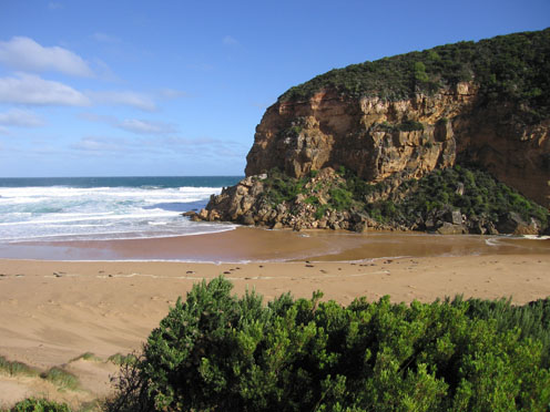
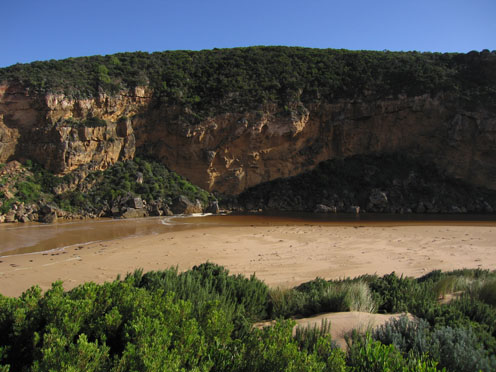
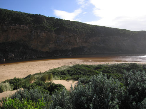
Active Mouth Condition 20-04-2007 - 19-04-2024Gellibrand River Estuary
770 results found (Displaying 171 - 180)
| ID | Date | Status | Details | |
|---|---|---|---|---|
| #3481 | 30 Apr 2010 | Approved |
Notes:
1.Bar has formed from mouth (wide area) to near tunnel. Waves are entering past tunnel into estuary (hi tide).Salt return flowing back to sea 2.Hi tide mark is nearly up to the dunes in the estuary and along beach. Eastern end of beach has been scoured out. 3.Beach has now a long wide gradual slope to sea 4.Lot of 'jelly' on beach 5.Water is over low track around estuary |
|
| #3482 | 1 May 2010 | Approved |
Notes:
1.River has opened again (observed at low tide) and is flowing over a wide very shallow entrance. There is no distinct deeper chanel downstream of rocks 2. Slight dark discharge around mouth and to east. 3.Stronger flow upstream of rocks has cut a channel about 7m. wide & 1m. deep with about 70cm sides which are collapsing into the flow. Flow decreases and becomes more shallow after rocks 4.Waves in all directions at mouth -longshore drift returning more sand 5.Water levels have risen in both Latrobe and Northern wetlands. (44ml. recorded at G6 during past week.) 5.Huge cat seen near camping ground |
|
| #3521 | 7 May 2010 | Approved |
Notes:
1.Flowing out over wide shallow area. Rough seas entering across a wide area, waves in all directions. Longshore drift bring sand back into the channel both infront of rocks and upstream 2.Beach front is a very gradual slope to sea 3.Wet and windy 4.Banded rail near car park. Swamp harrier near G2 |
|
| #3563 | 15 May 2010 | Approved |
Notes:
1. Mouth has opened over a wide area but discharge seems to be only around the mouth. Sea is entering along east side of channel and travelling into estuary 2. Strong flow has cut channel upsteam of rocks - 90 cm high bank on east side which continues around onto beach 3.Beach has gradual slope -evidence of last hi tide nearly up to dunes. 4. Pale green deposit on sand ripples in estuary where water has receeded |
|
| #3601 | 21 May 2010 | Approved |
Notes:
1. Greatly reduced shallow out flow across large sand build up at mouth. Channel flowing only between rocks and cliff. 2.Channel has been nearly filled with sand up stream to tunnel - depth only from 30cm - 50 cm. Deeper water neat tunnel entrance has very large no. of fish 10 -25 cm 3. Beach wide with gradual slope, hi tide has reached about half way to dunes 4.Water in estuary very still - scum forming. A white deposit is on vegetation along the sides of the estuary. More intense on s/e side 5.Large white egret s/e side of estuary 6.More boards off entrance to tunnel |
|
| #3621 | 28 May 2010 | Approved |
Notes:
1.Rough sea bringing salt water from mouth along channel past tunnel into the estuary. Waves in all directions at mouth with longshore drift bringing more sand to the mouth and channel upstream of rocks 2..Channel between rocks and tunnel very shallow only slightly deeper between rocks and cliff where it narrows to about 2 m. Water and sand swirling around this area 3.Last hi tide covered about 2/3rds of beach 4.Salt fresh divide at tunnel at 10:05 but had moved well into estuary by 10:45 5.All boards have gone from gate at entrance to tunnel 6.Kestrel over estuary |
|
| #3683 | 5 Jun 2010 | Approved |
Notes:
1.Flow out over wide large sand build up, deeper channel is near cliff and about 3-4m wide 2.Longshore drift bringing more sand 3.Small waves entering and travelling upstream along left side of channel 4.Beach wide and sloping, hi tide has reached half way up to dunes |
|
| #3701 | 11 Jun 2010 | Approved |
Notes:
1.Mouth perched with saltwater coming over and up berm to about 30 m where a salt fresh divide occurs in very narrow area. 2.Hi tide - waves reaching 1/2 to dunes and covering wide area but also at times leaving large area of exposed sand showing no channel.One rock has been covered by sand 3.Very strong south wind at mouth but wind gusts in all directions around the estuary. Sand still blowing into channel |
|
| #3741 | 18 Jun 2010 | Approved |
Notes:
1.Out flow in narrow channel next to cliff at mouth. Waves covering a larger area over sand build up. Some discharge can be seen around mouth and travelling along the foreshore to east. 2.Small waves are entering the channel and travelling to the estuary. Waves in all directions at mouth Whirlpool around and infront of rocks. Longshoredrift is bringing back more sand. Increased sand build up infront of rocks 3.Sand is visiable in breakers 50m.+ out to sea 4.Beach is wide with gradual slope. Large amount of sand covering rocks at east end. 5.Last hi tide nearly reached dunes in estuary. 6.The river naturally opened a deep channel around 12th June. This resulted on steep banks to 3m. high along channel upstream of rocks which now have been reduced. |
|
| #3781 | 26 Jun 2010 | Approved |
Notes:
1.Waves entering mouth over a wide area and continuing on into estuary. Green water & foam visiable. Waves covering rocks. 2.Water from hi tide starting to cover estuary beach .Waves reaching high on ocean beach. Sand 'cliffs' forming near east end 3.Longshore drift bring more sand into channel 4. 1. large dead seal about 2m. 1. Dead Fairy prion 1 dead Antichinus found at waters edge on beach near mouth 5. 1.Large white heron near G2 site Large flock of Sparrows s/e side of estuary Unidentified Falcons calling from cliffs |
|


All content, files, data and images provided by the EstuaryWatch Data Portal and Gallery are subject to a Creative Commons Attribution License
Content is made available to be used in any way, and should always attribute EstuaryWatch and www.estuarywatch.org.au