EstuaryWatch Data Portal
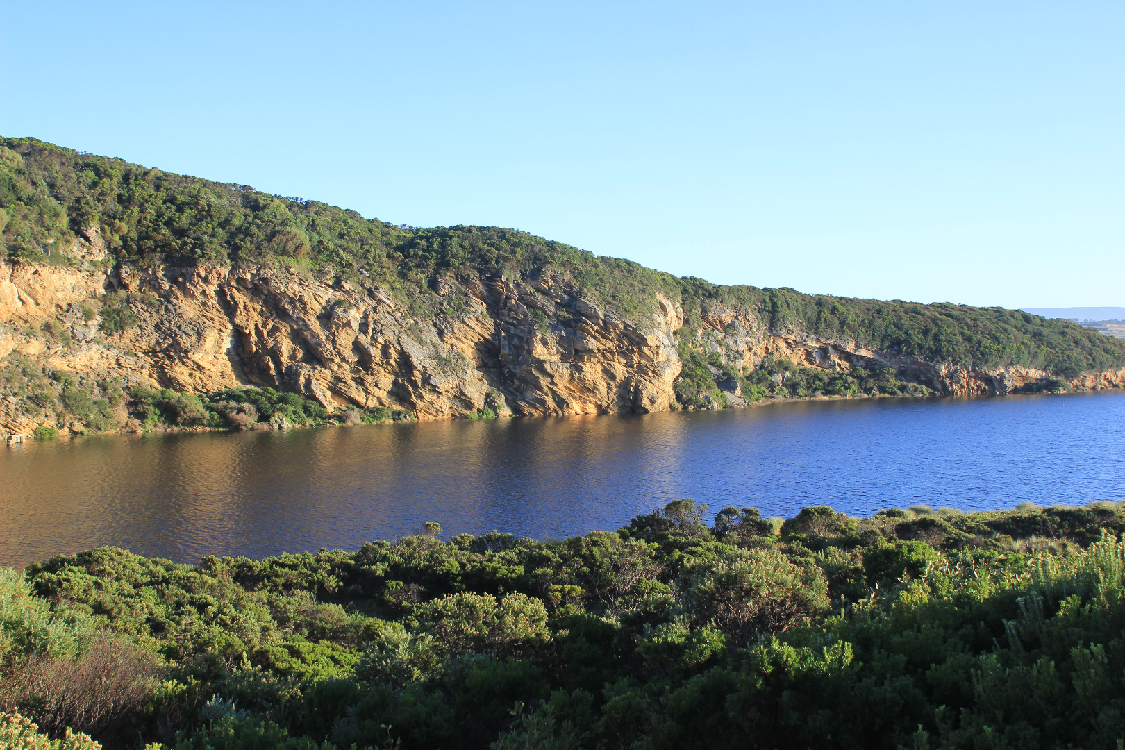
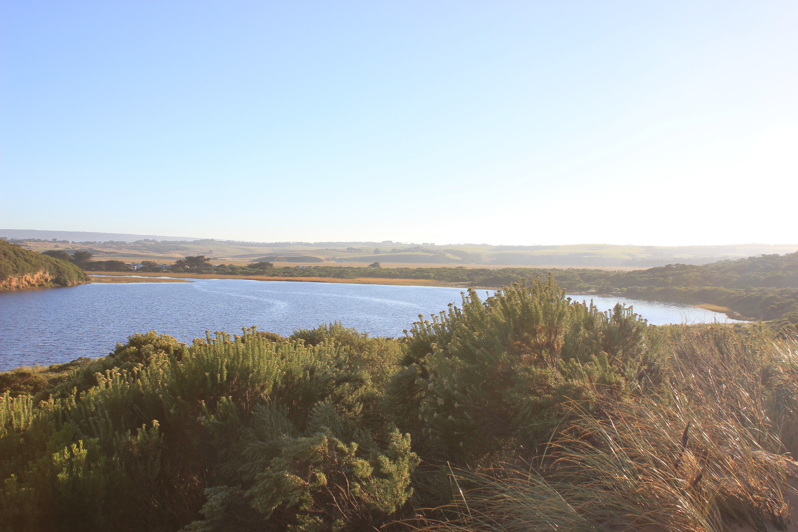
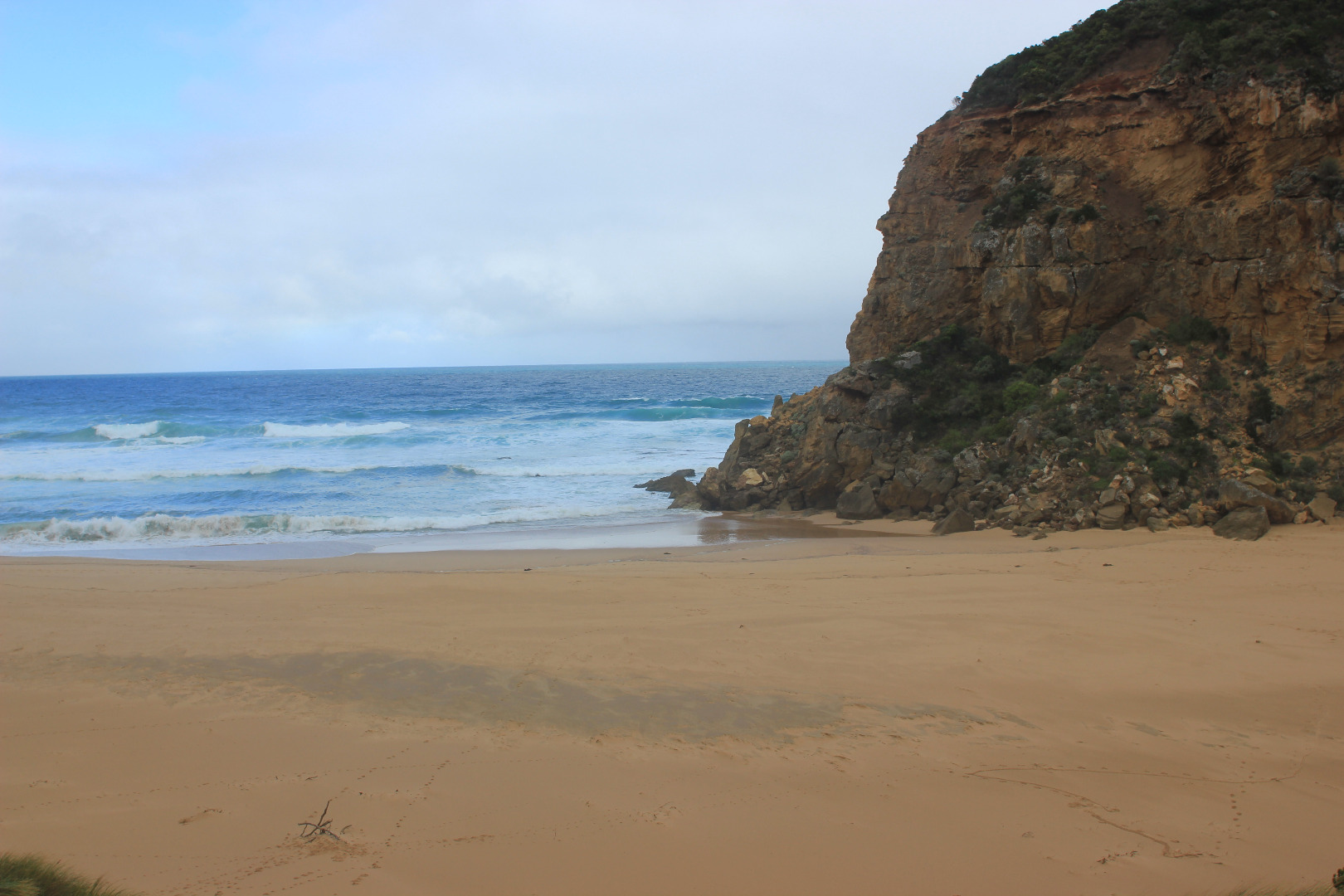
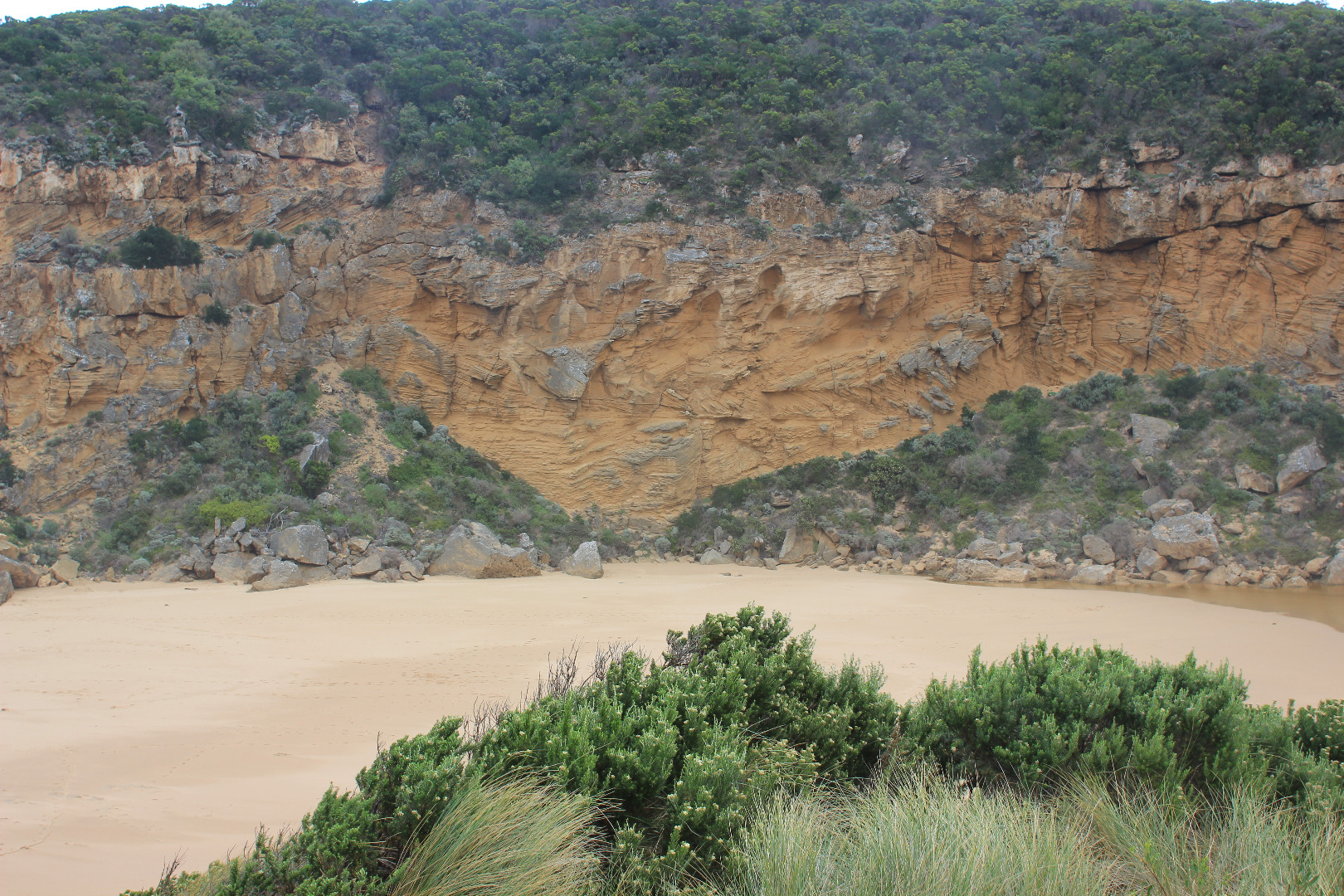
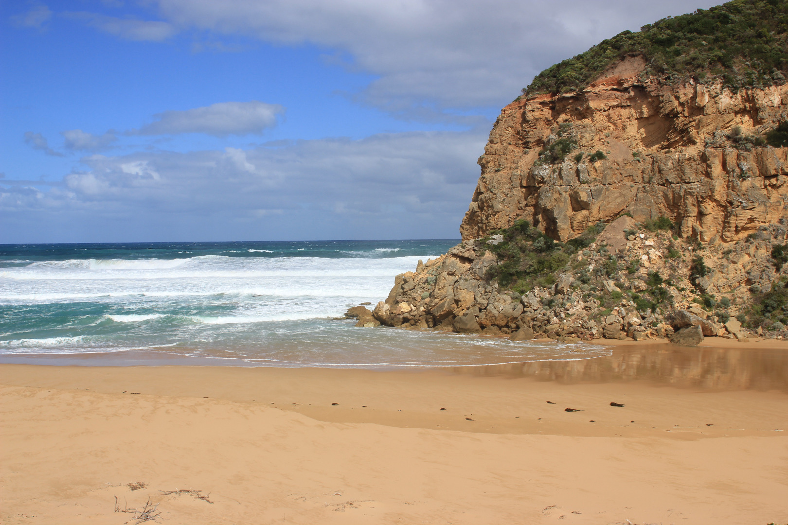
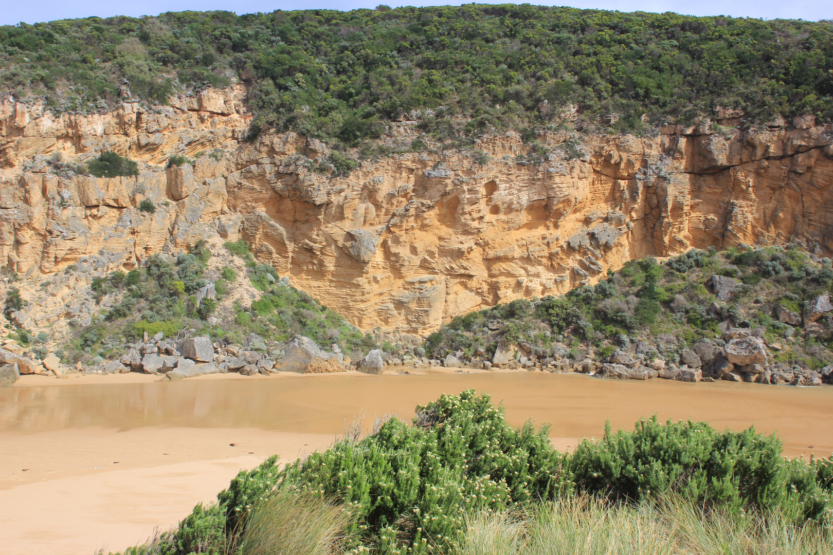
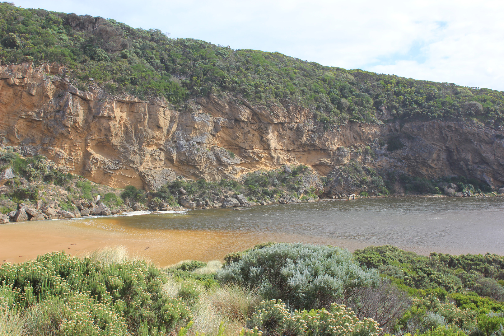
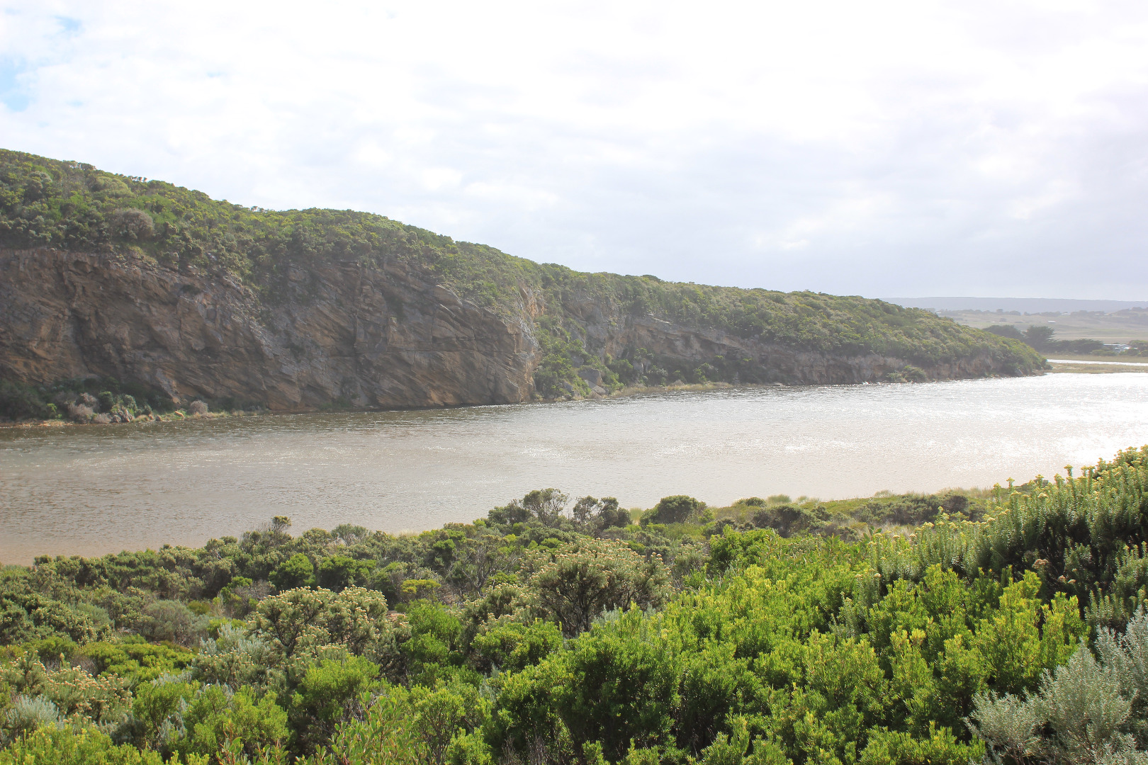
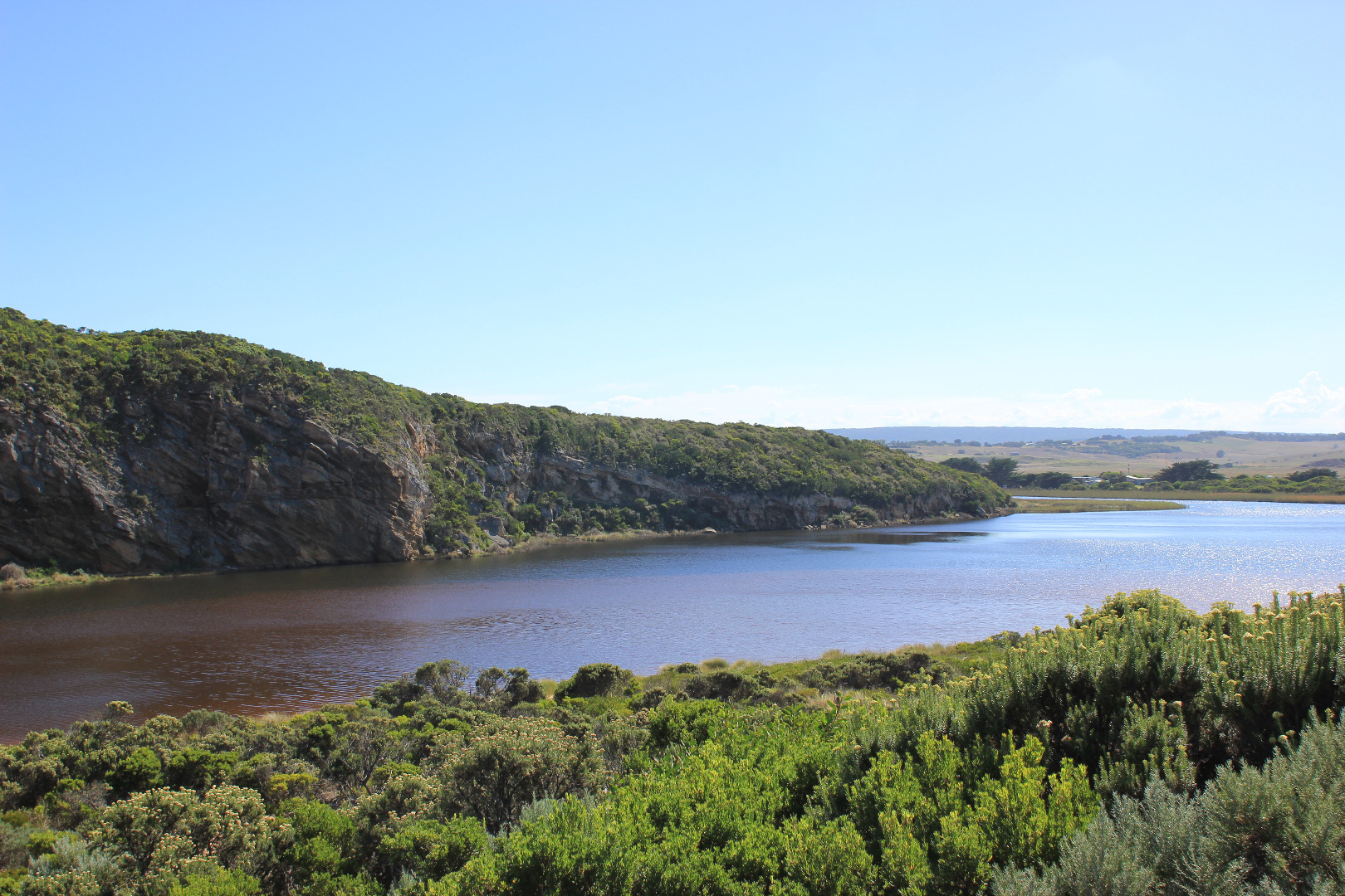
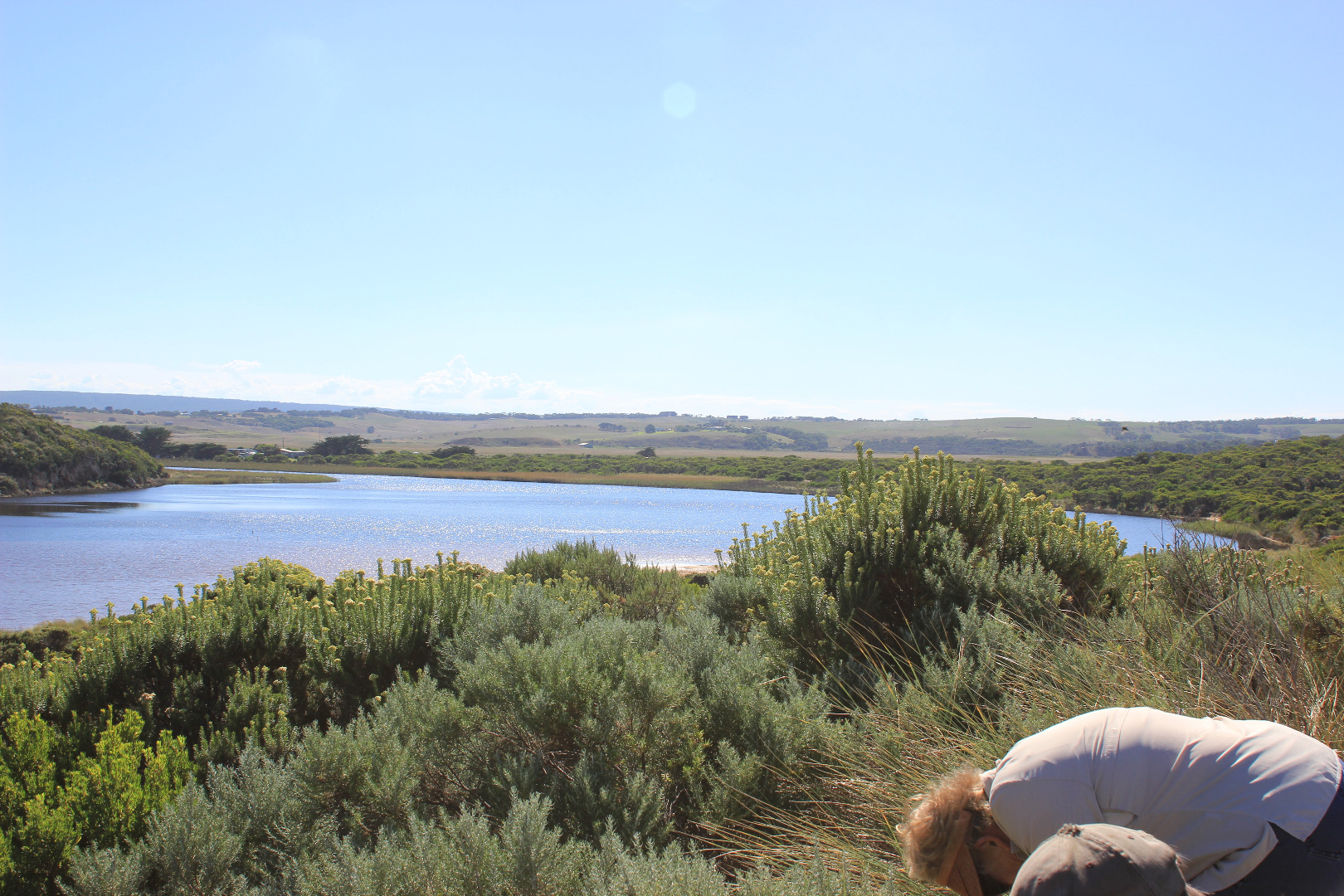
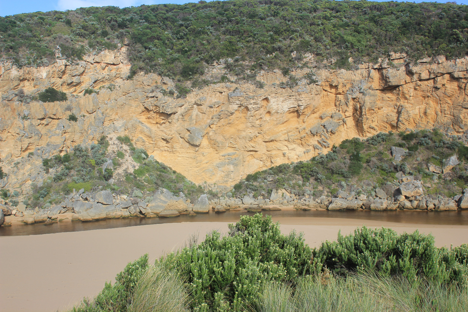
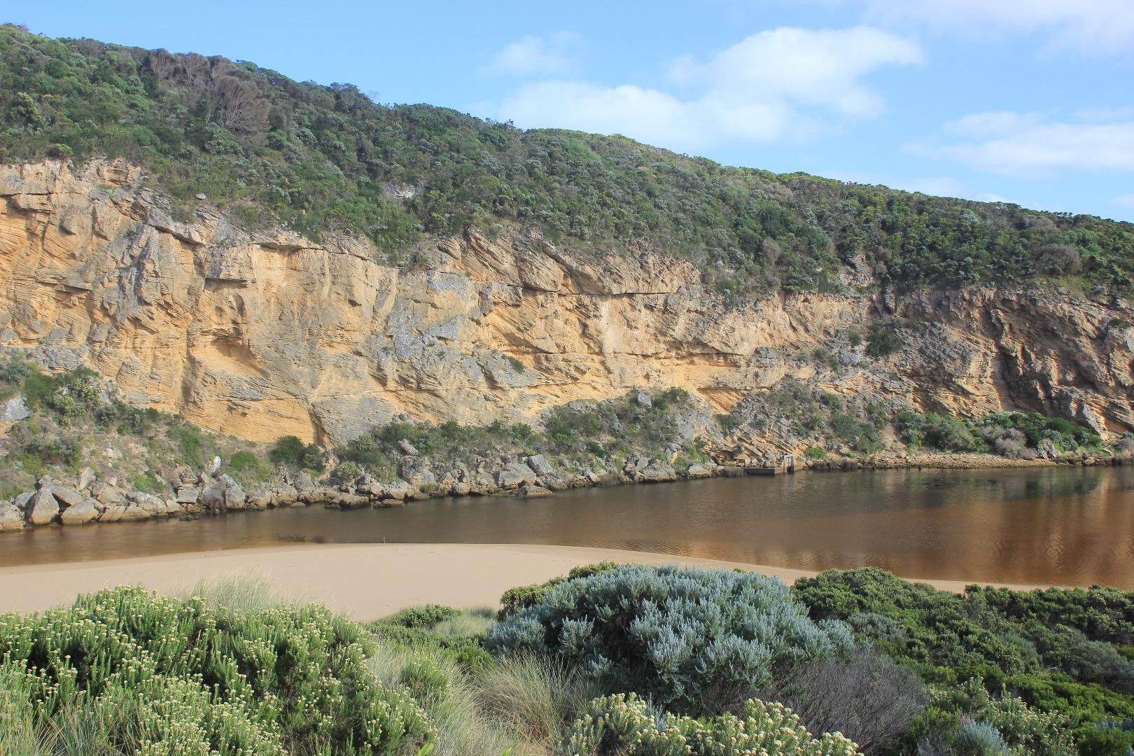
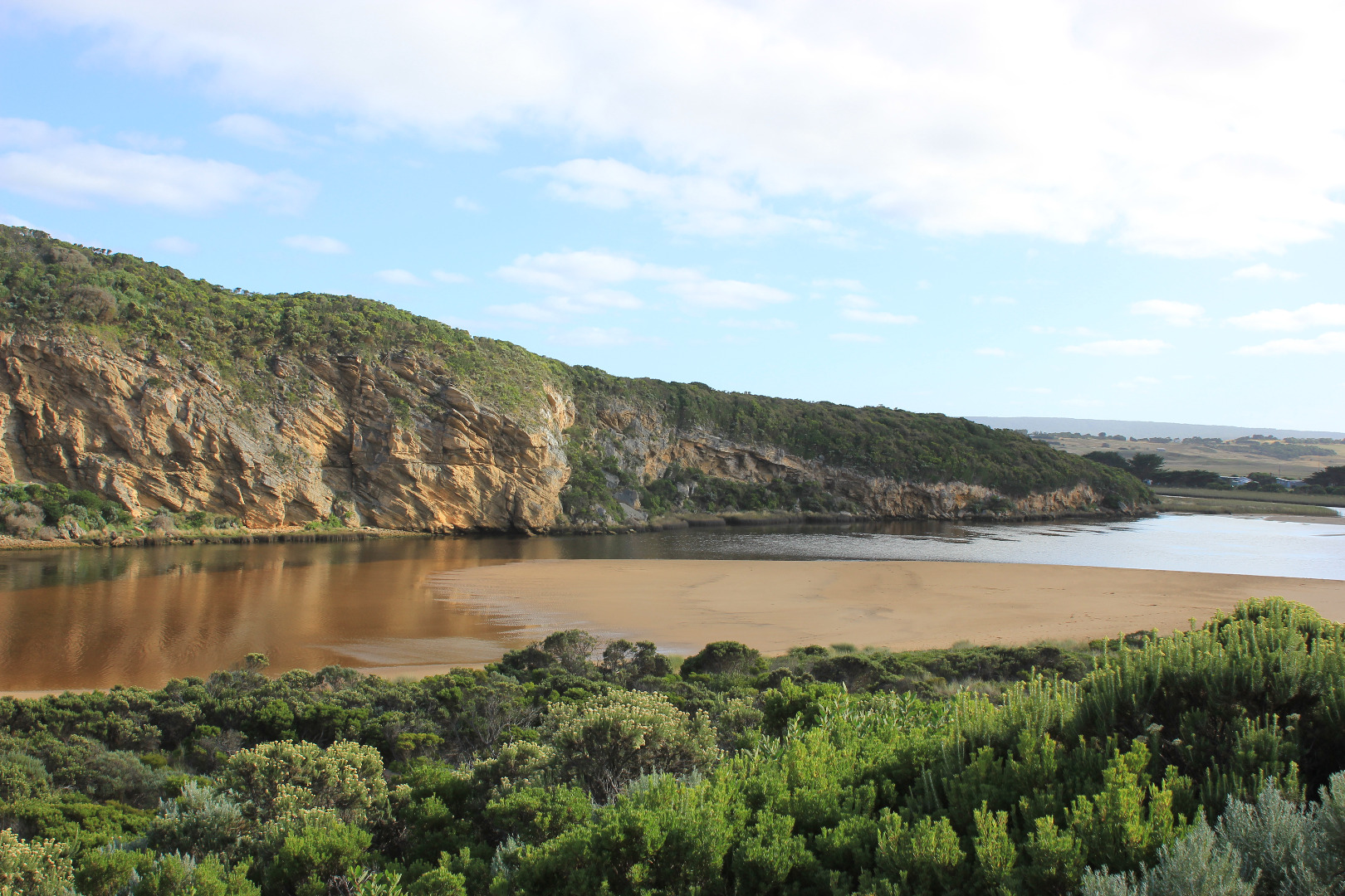
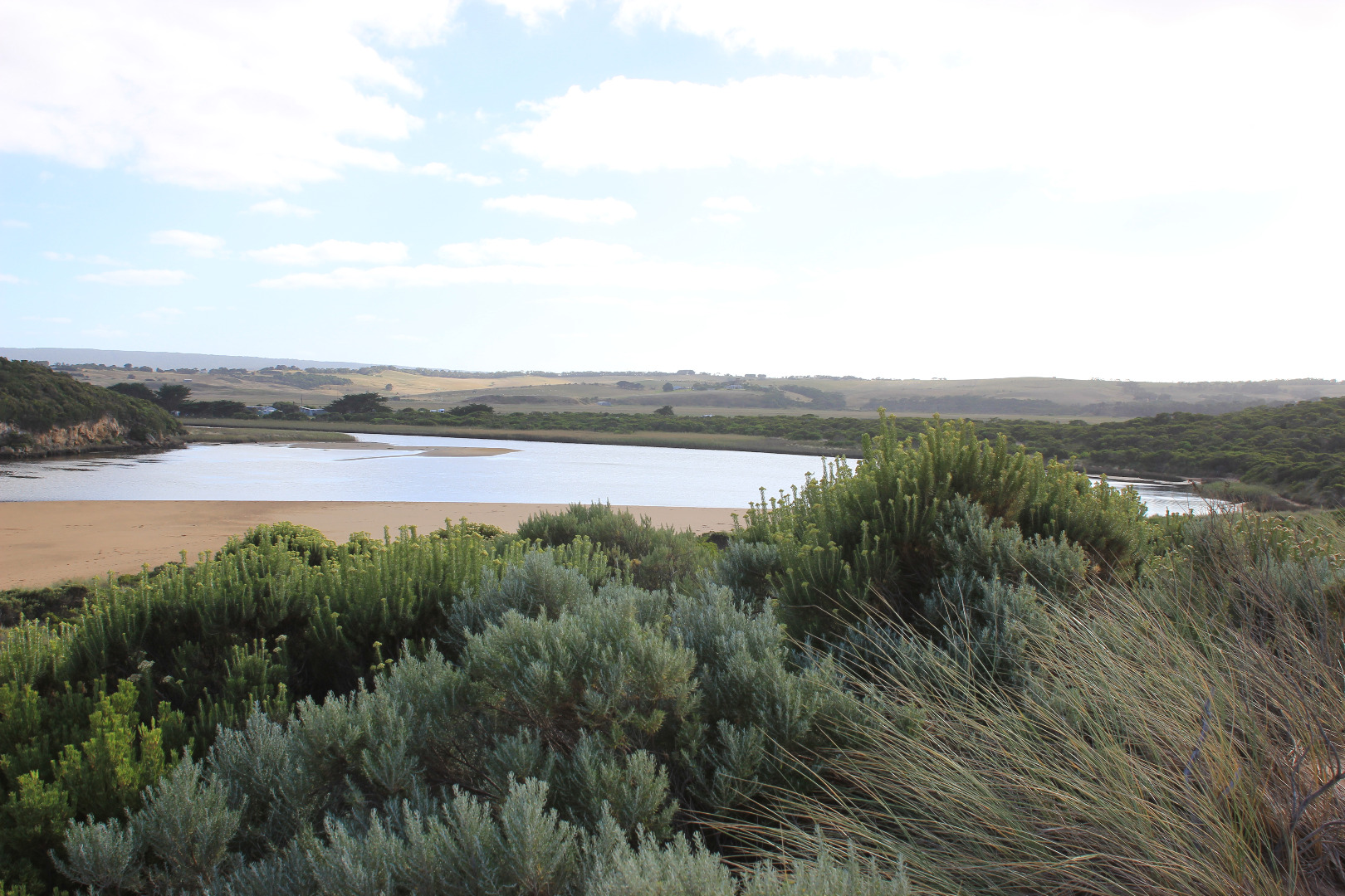
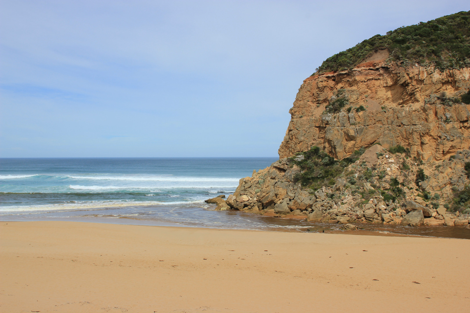
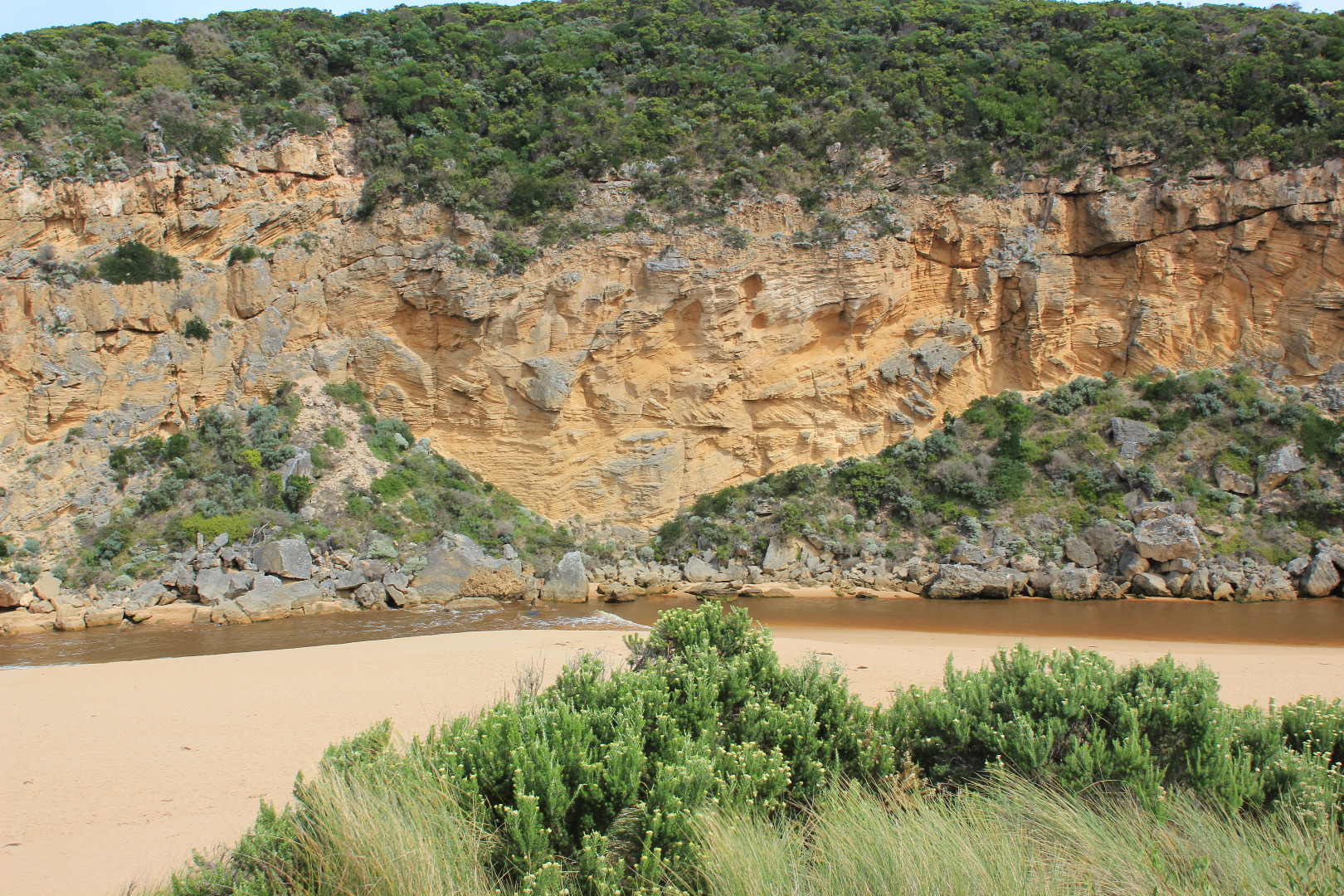
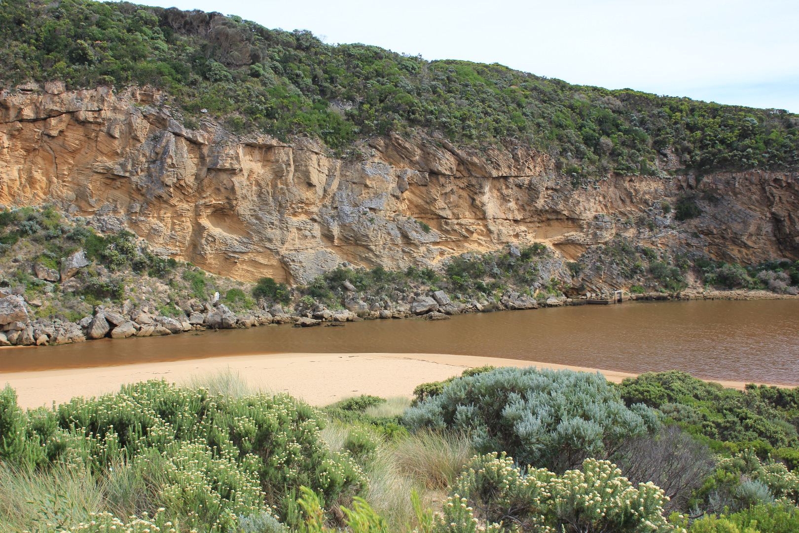
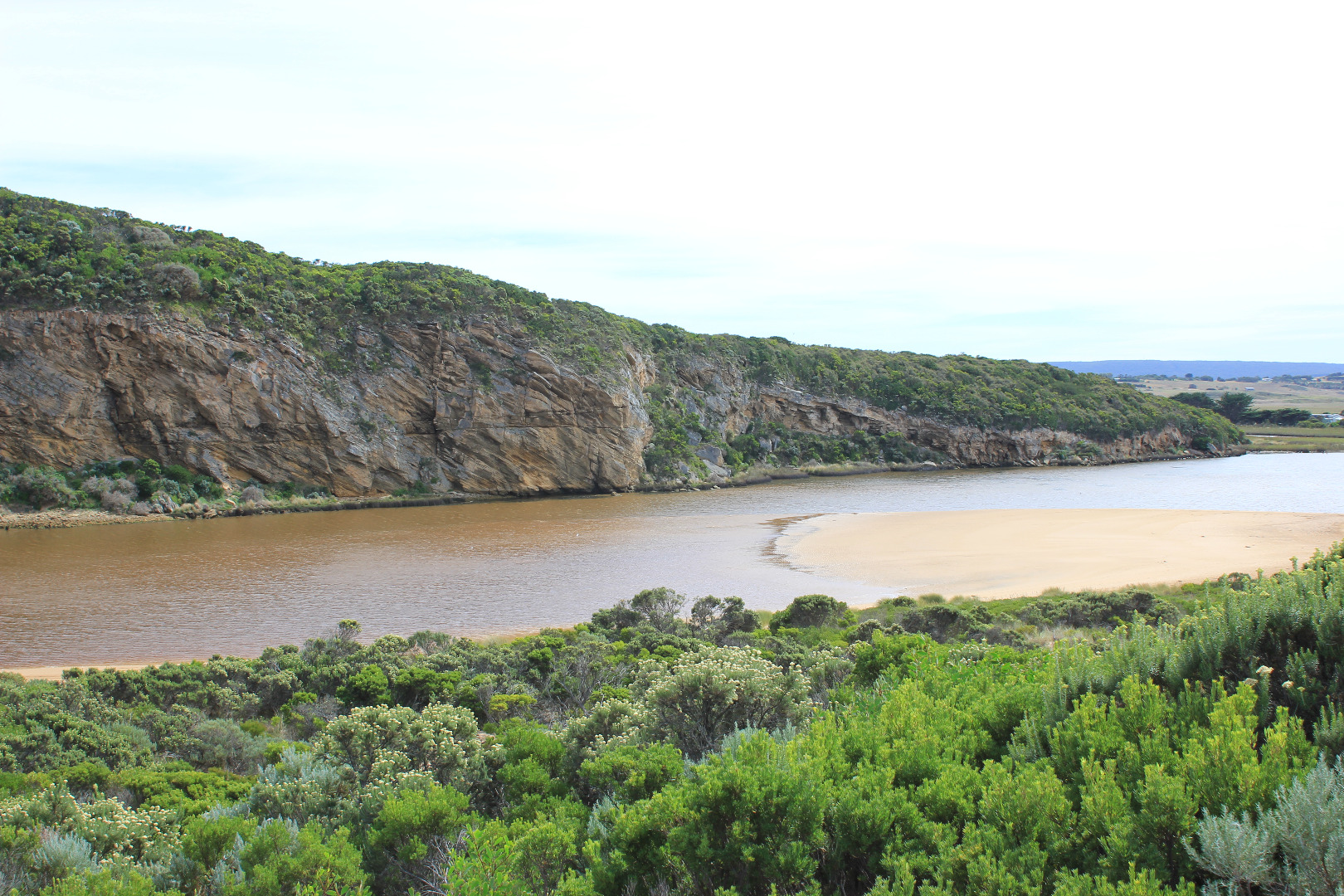
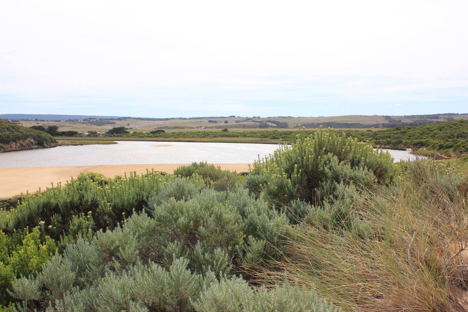
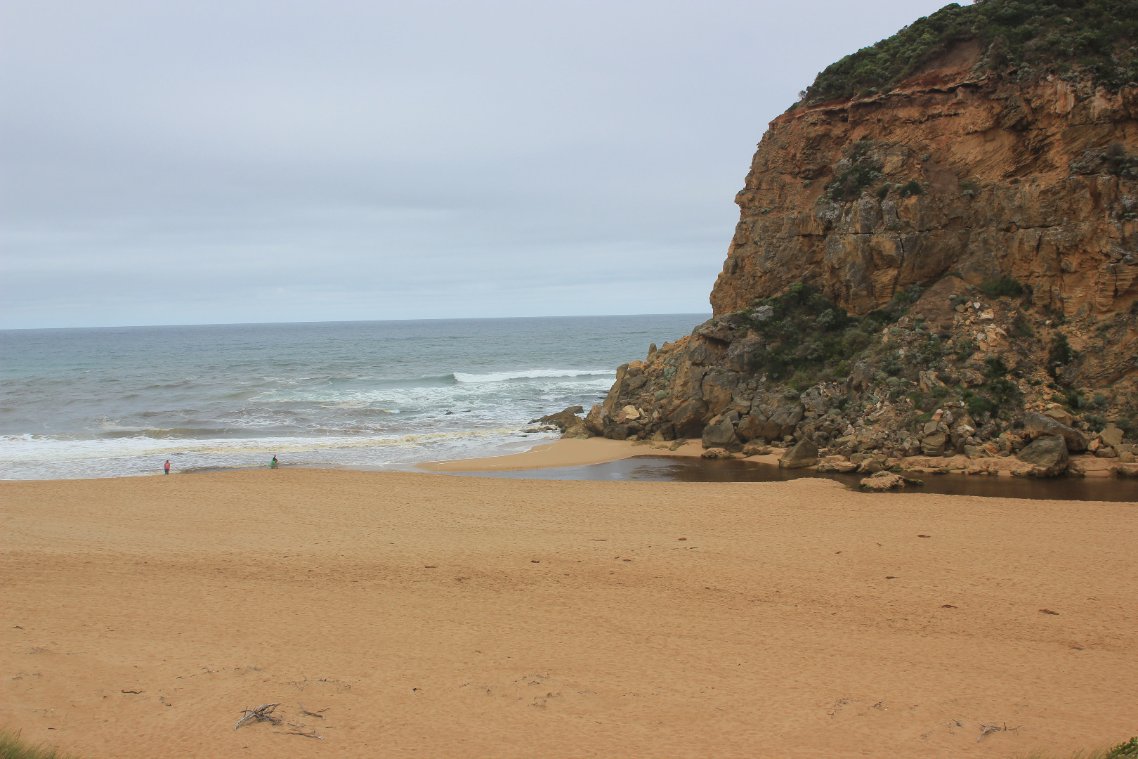
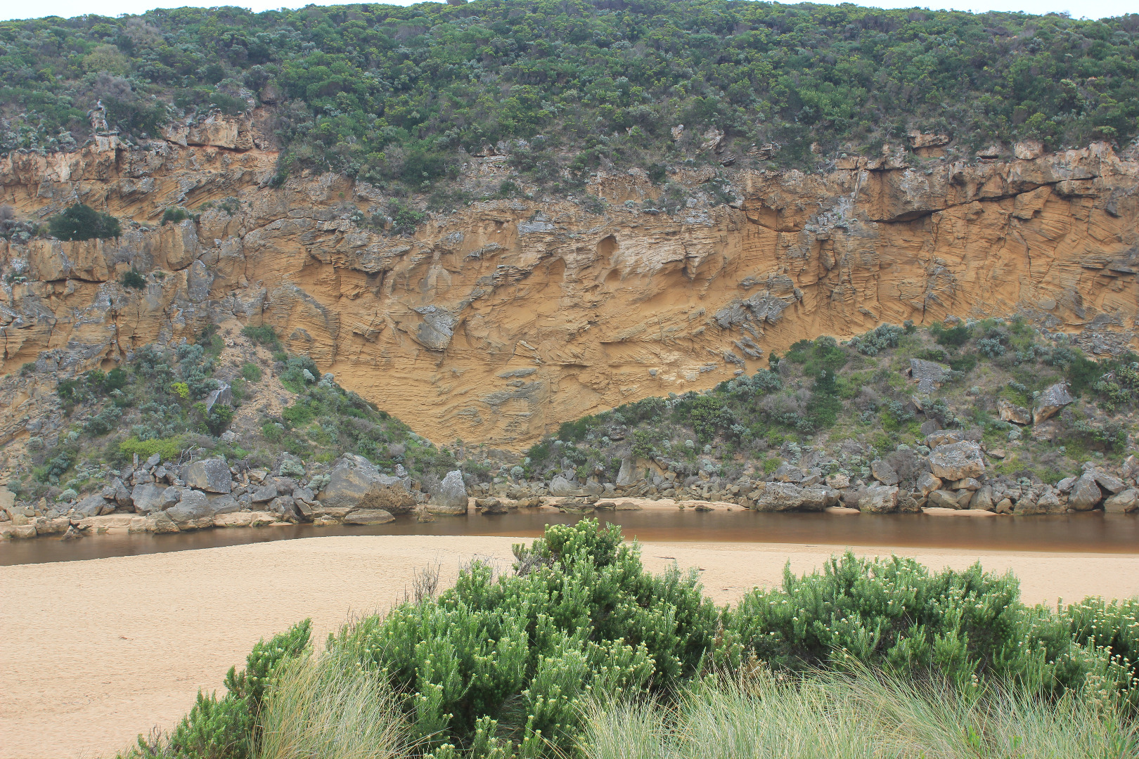
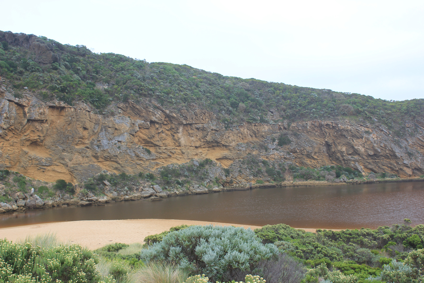
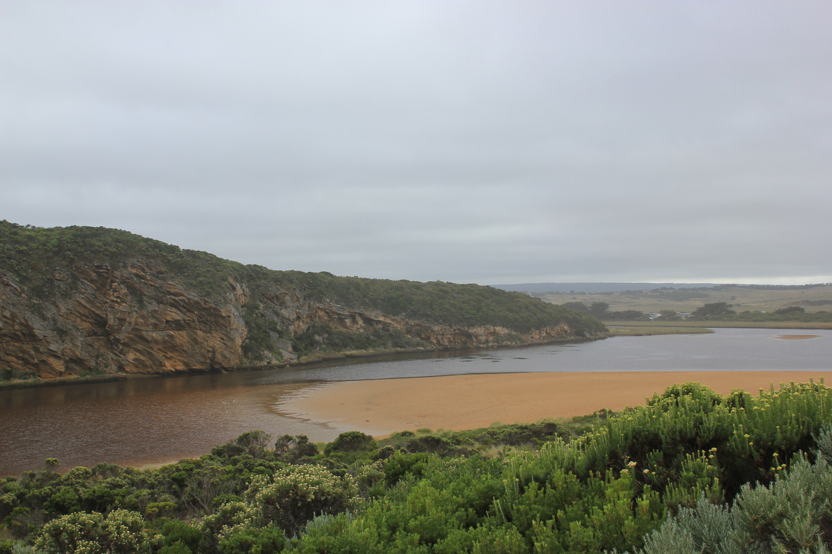
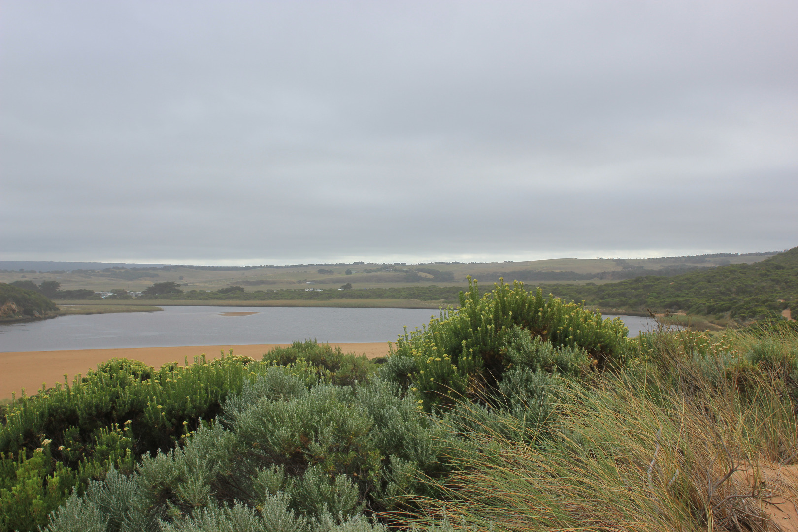
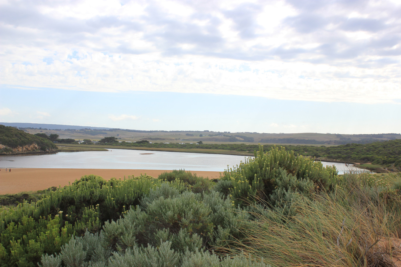
GMC Gellibrand River Estuary Mouth Observation Site
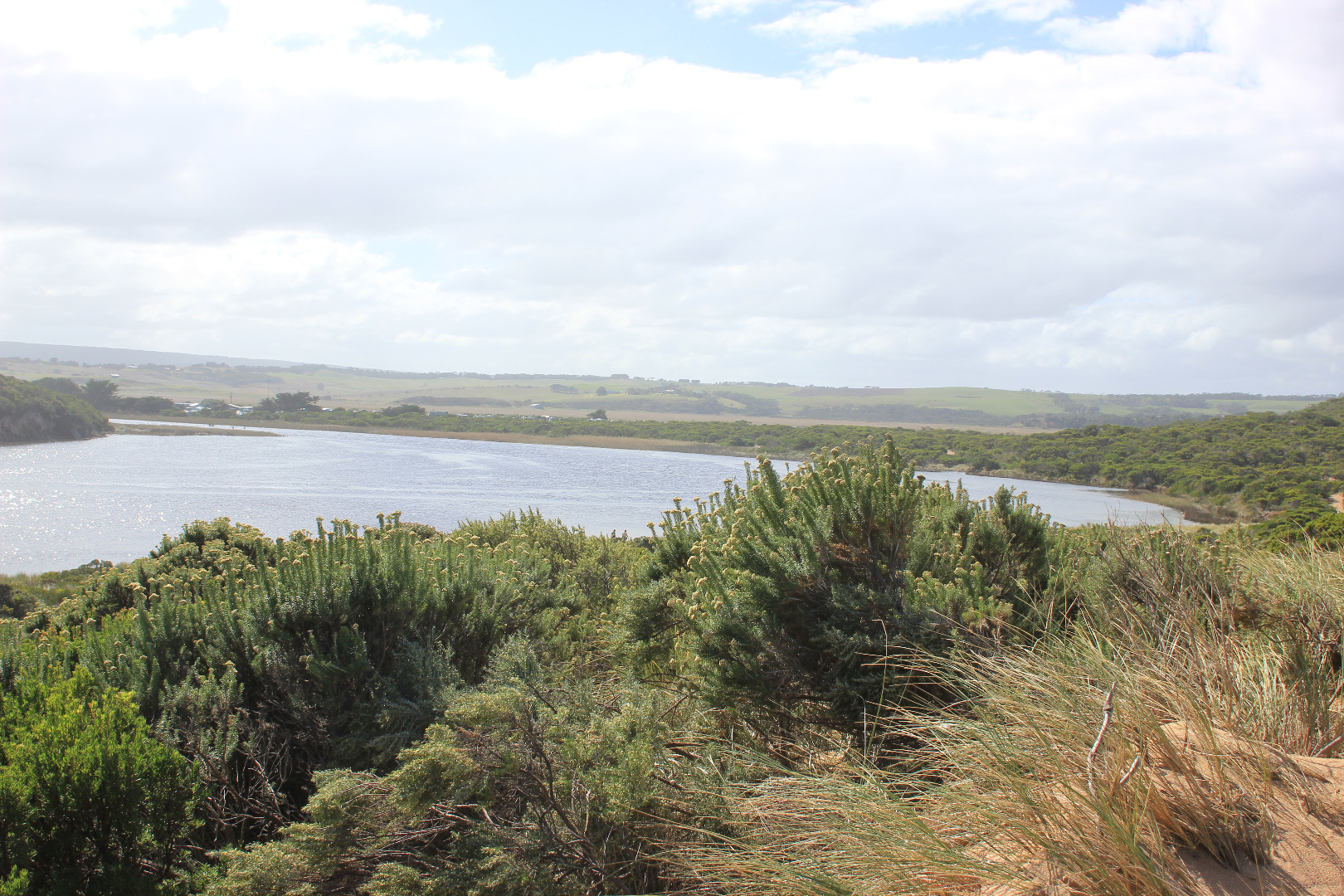
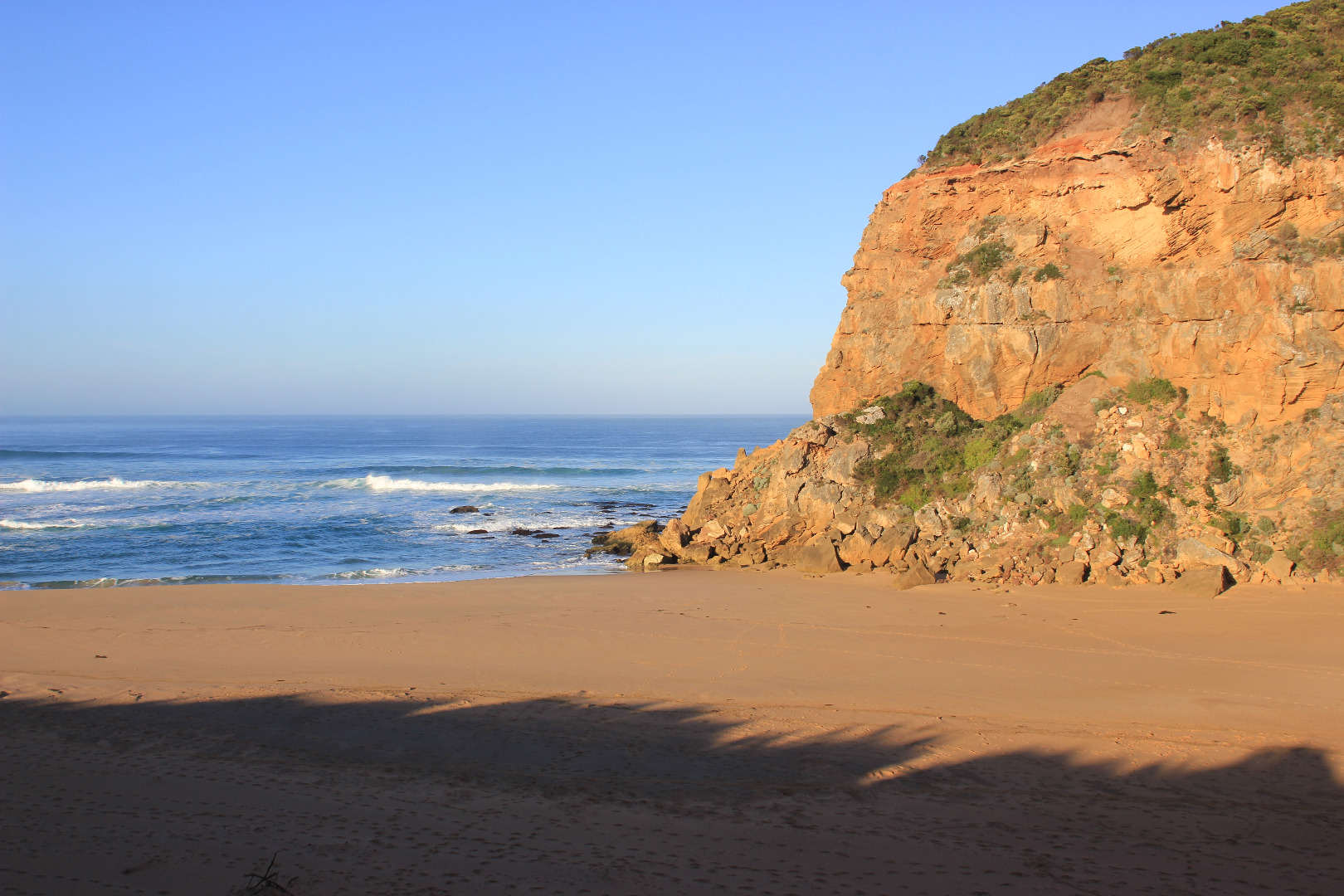
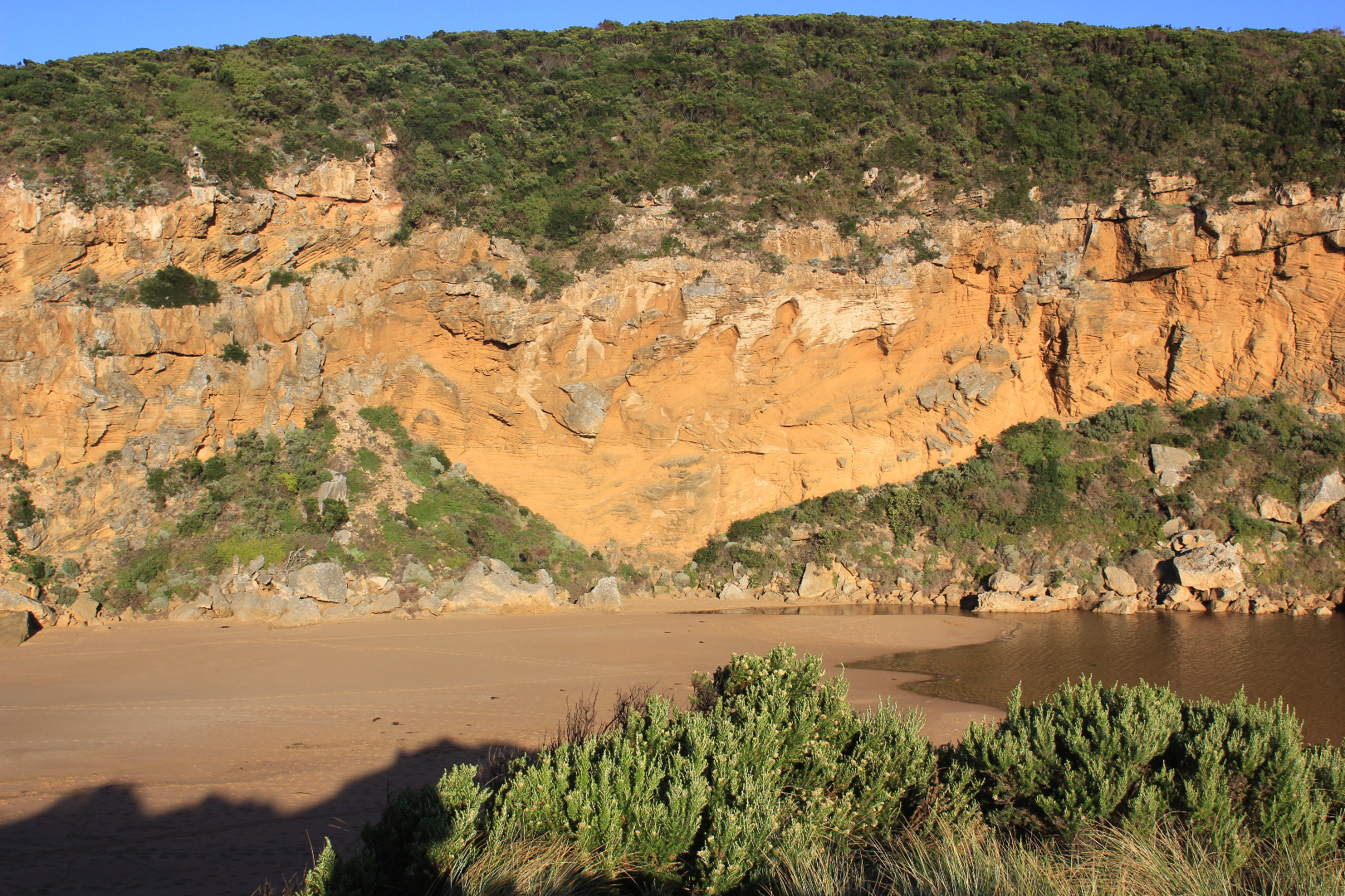
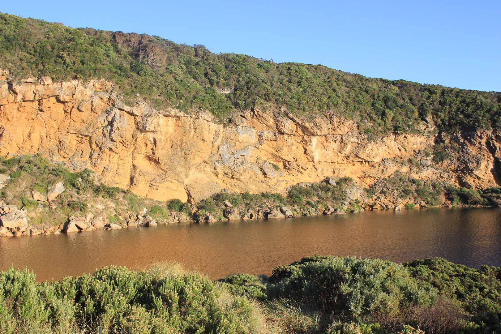
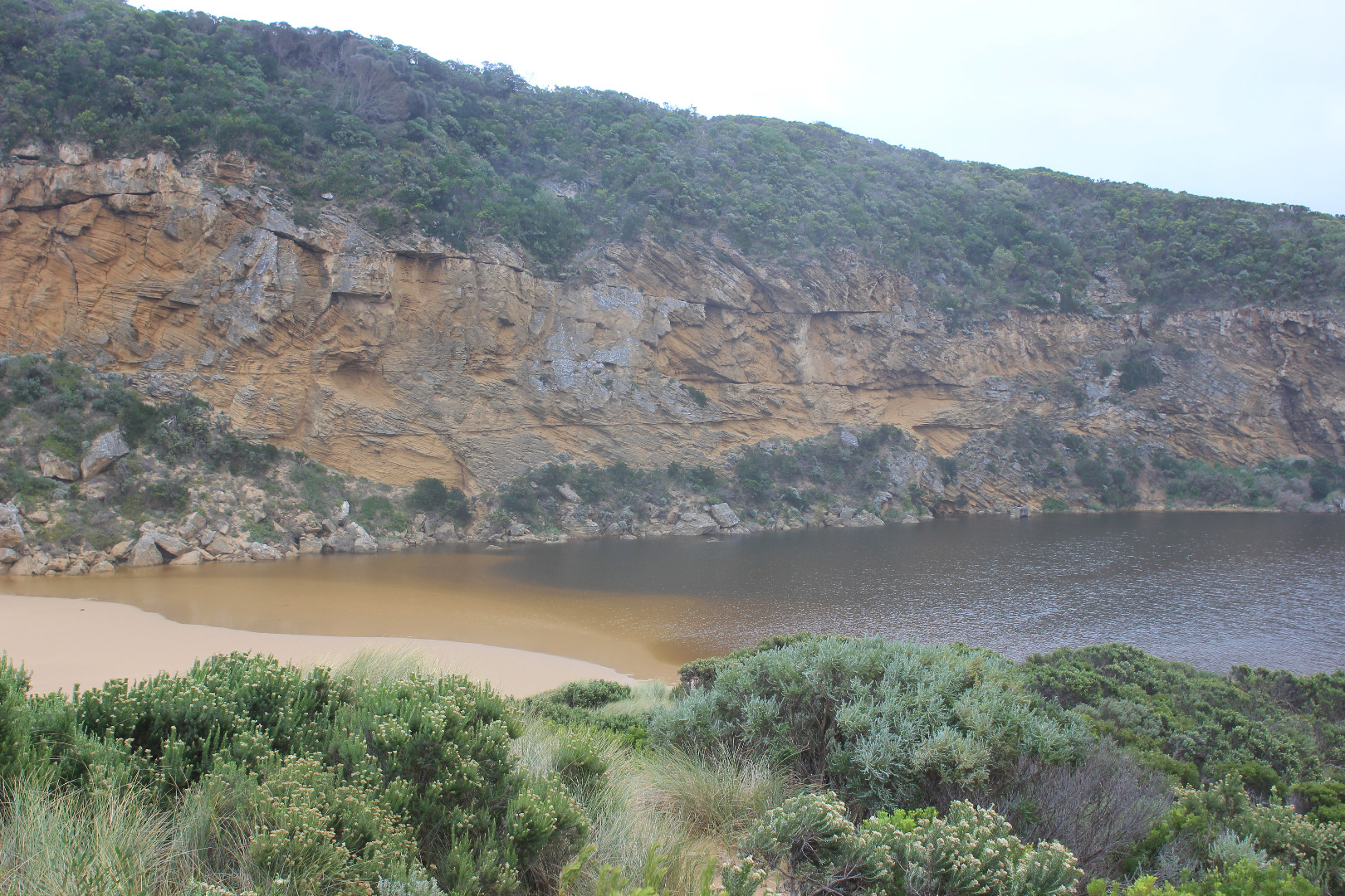
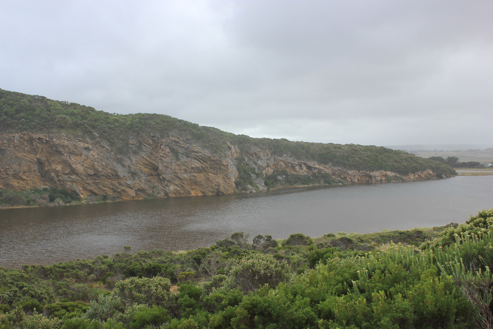
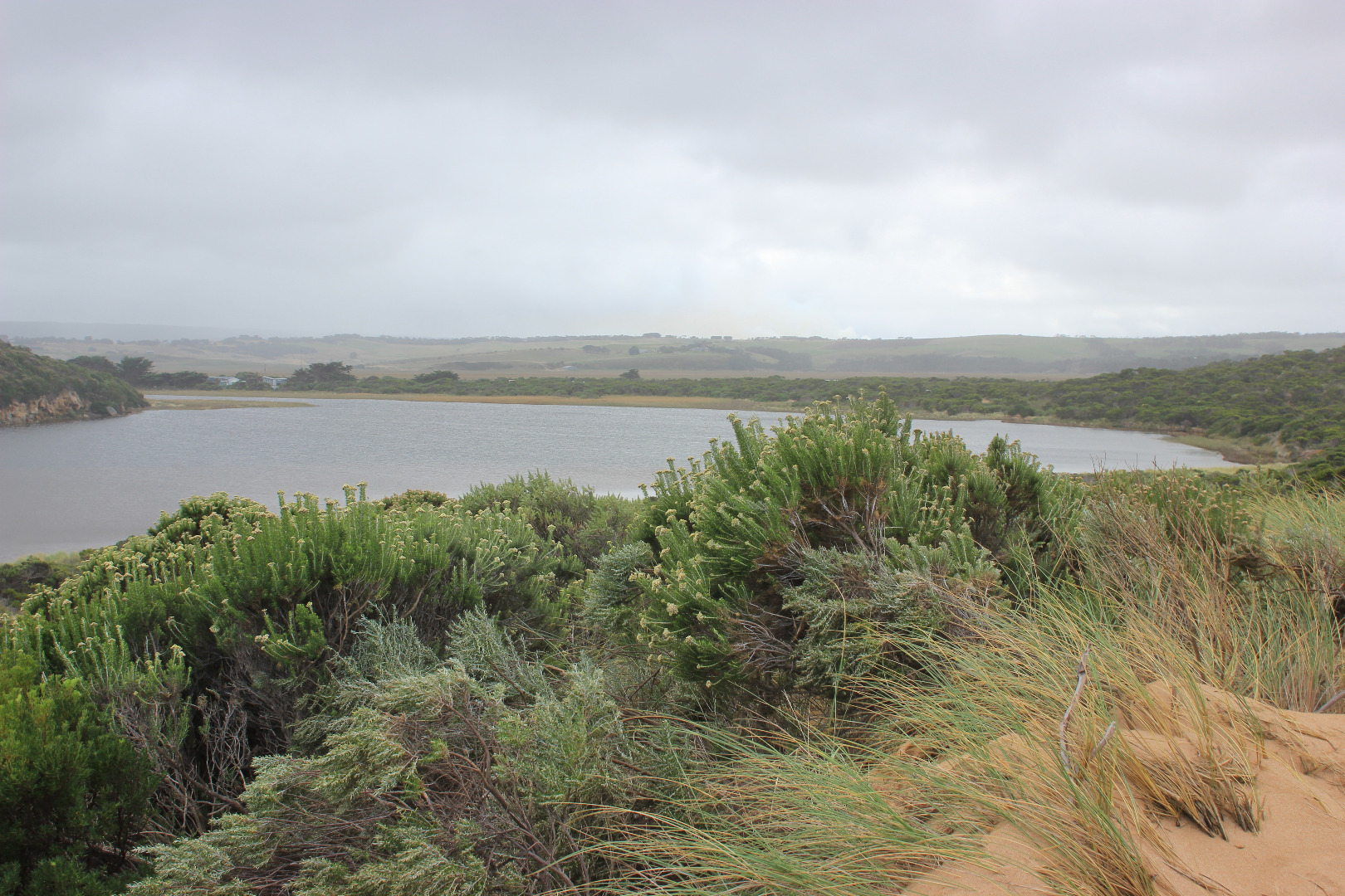
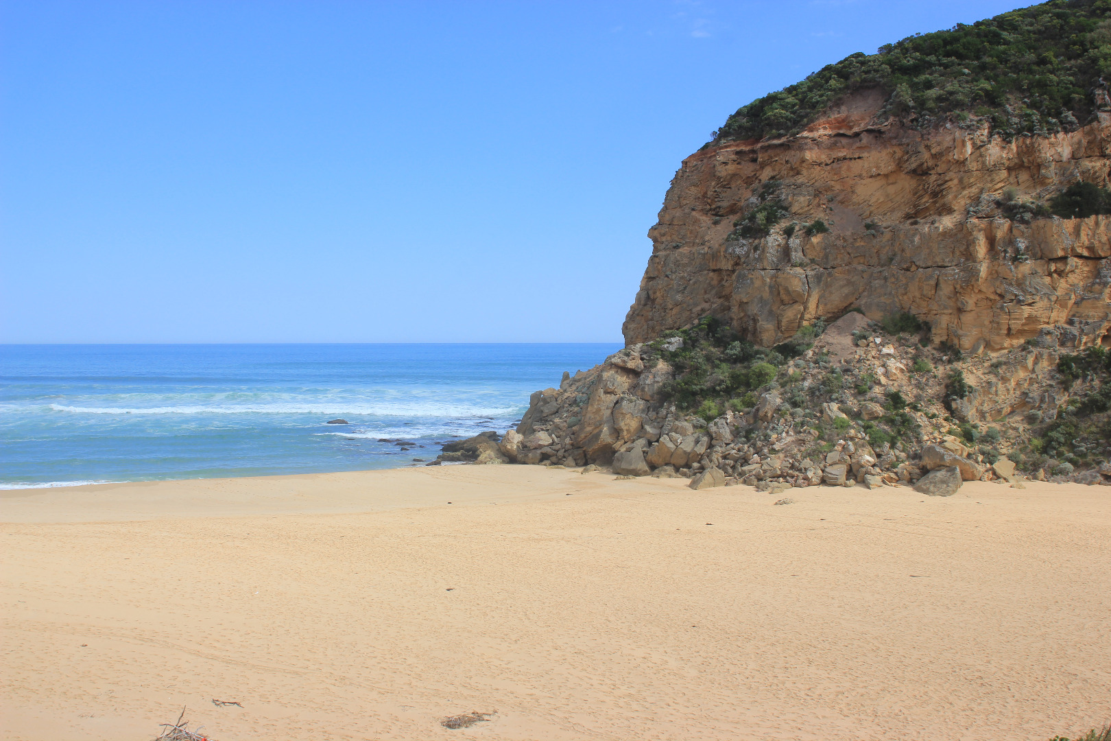
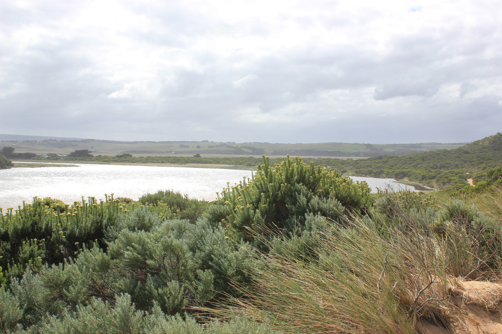
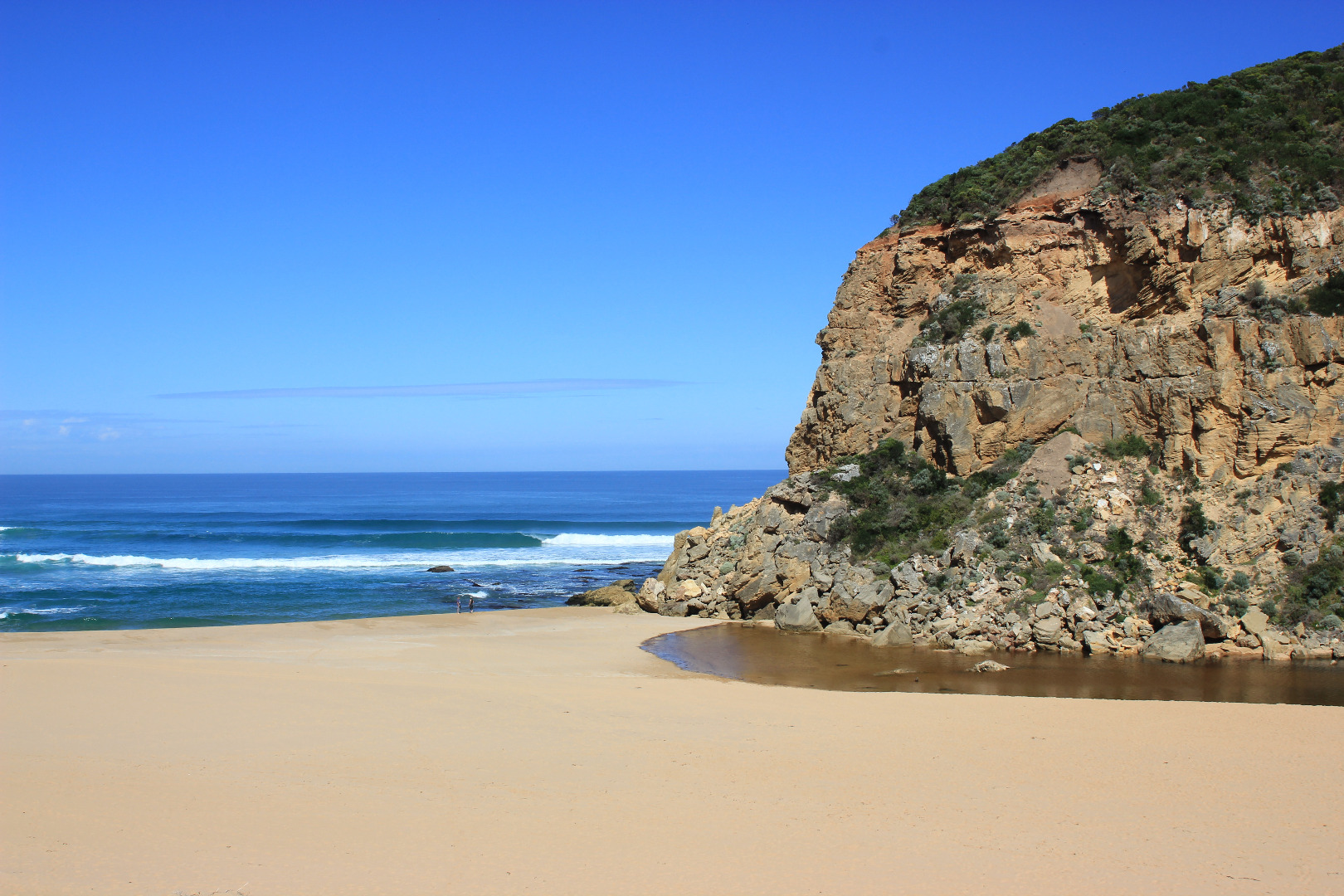
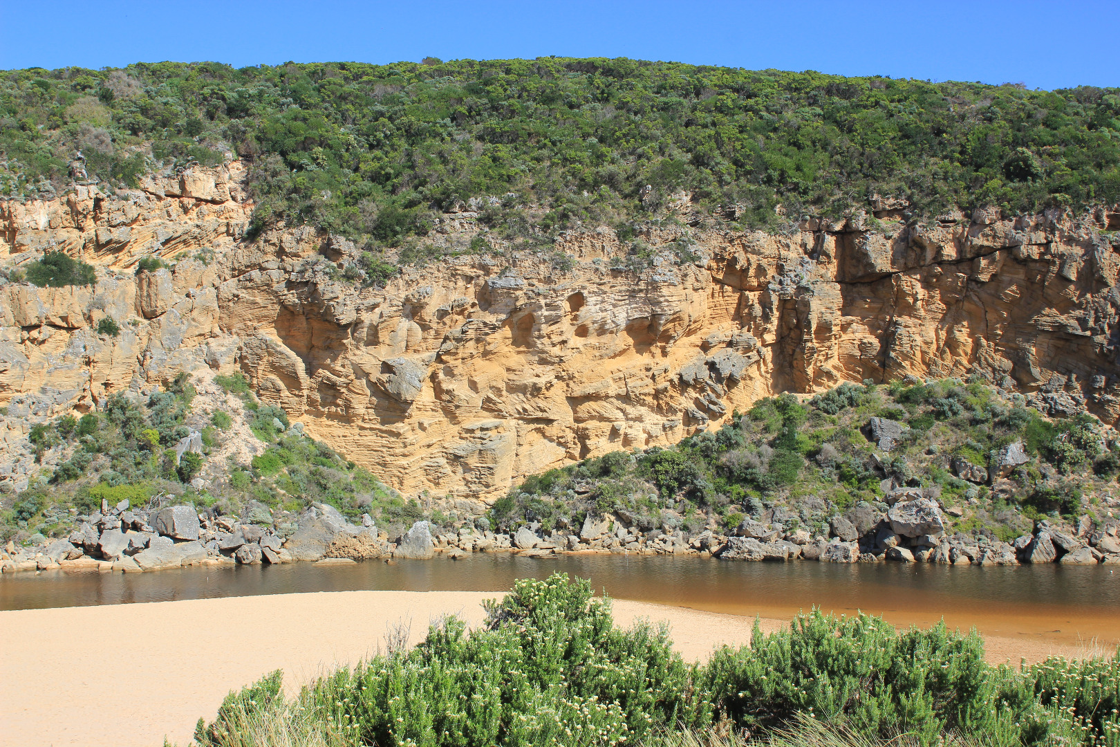
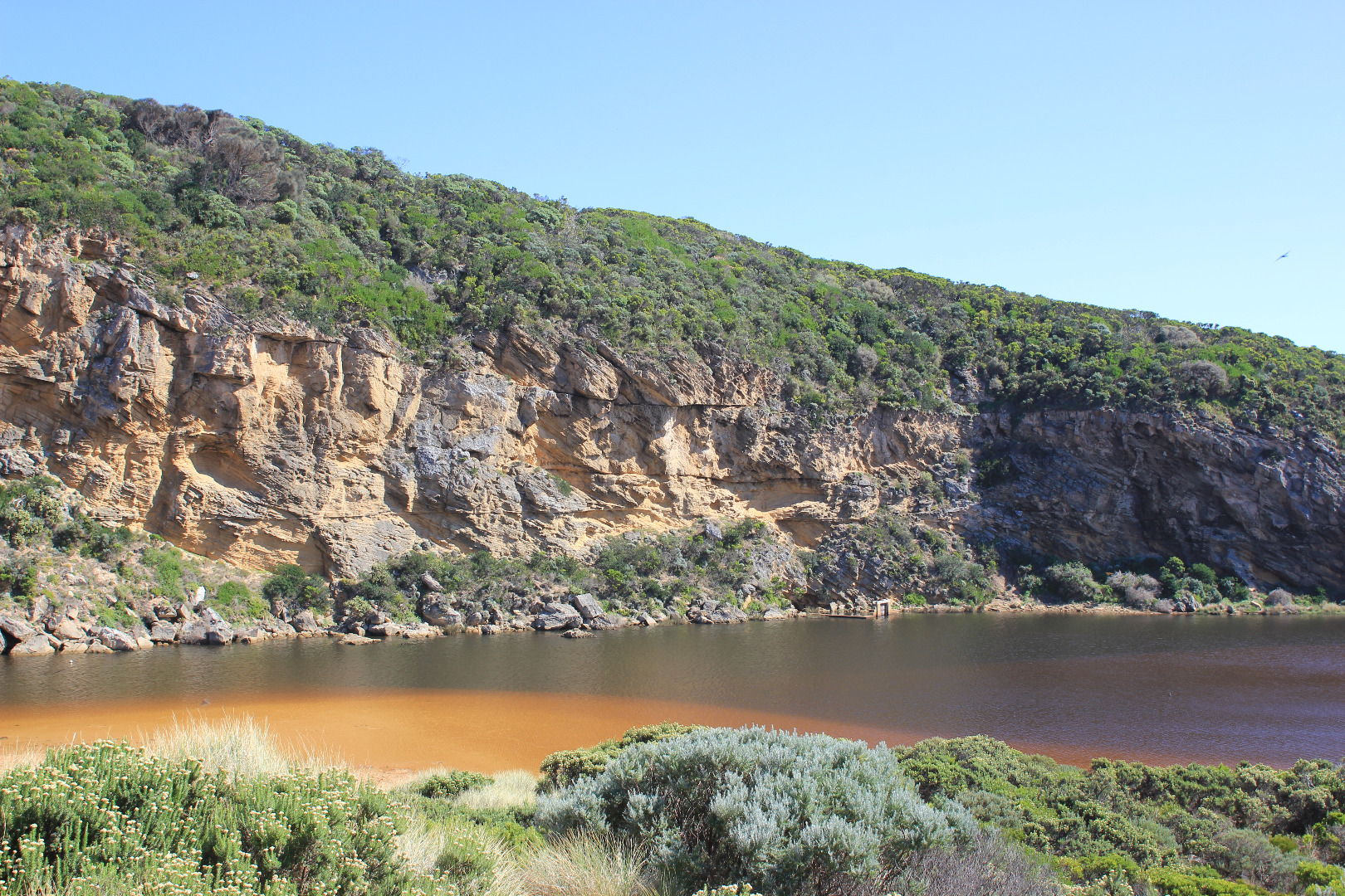
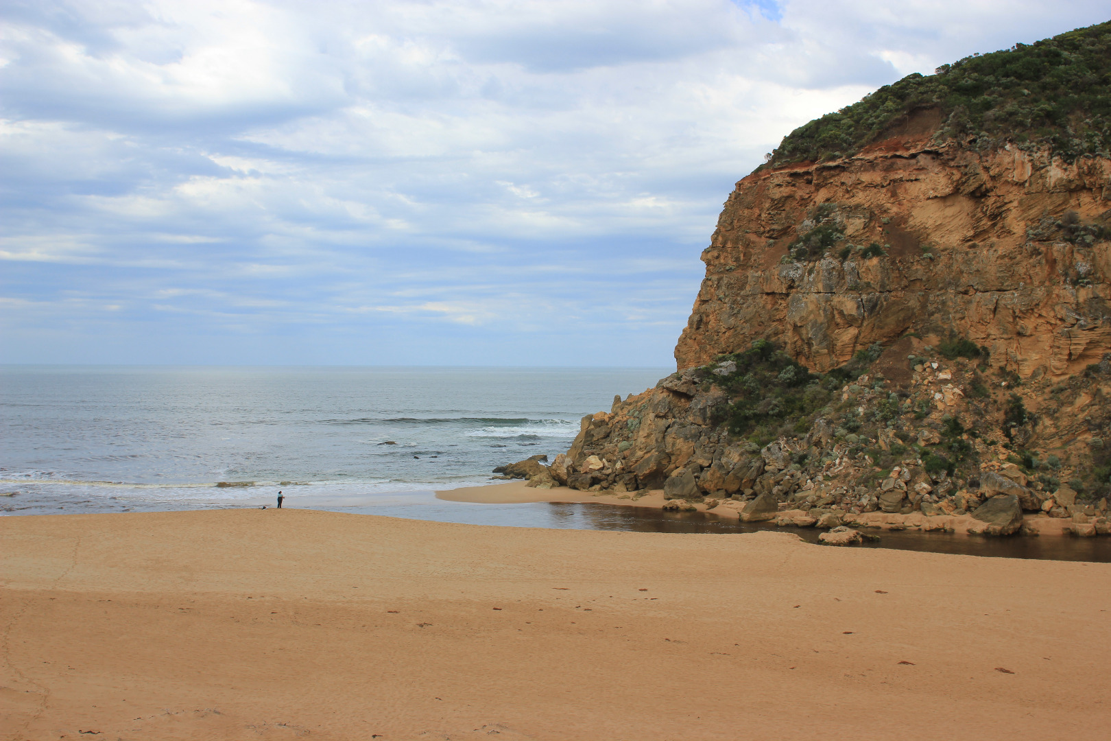
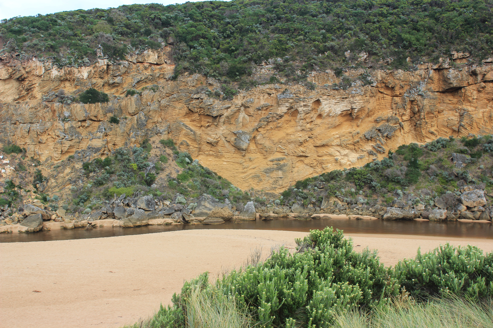
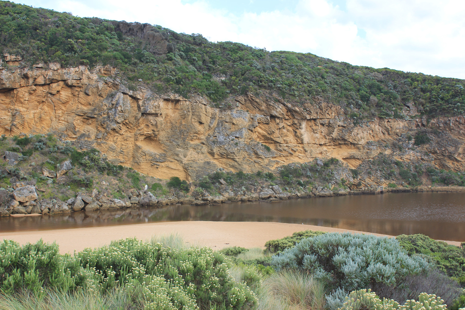
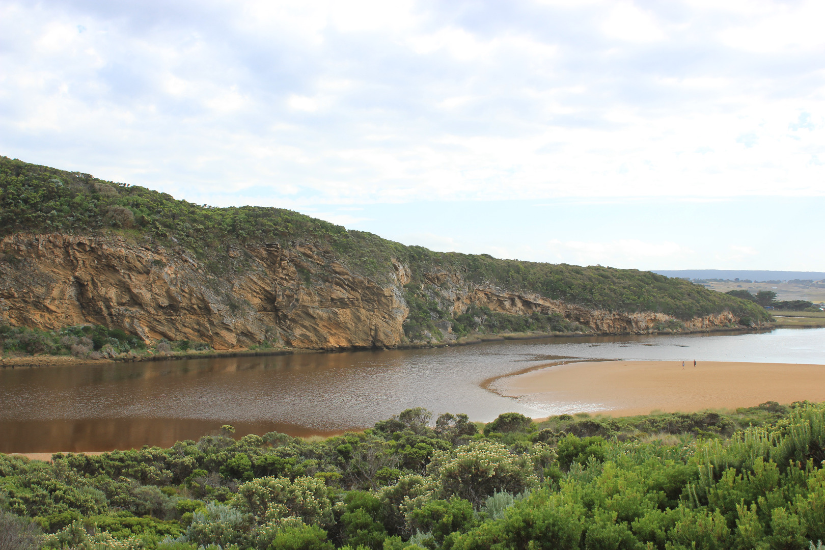
Active Mouth Condition 20-04-2007 - 19-04-2024Gellibrand River Estuary
| ID | Date | Status | Details | |
|---|---|---|---|---|
| #11110 | 14 Apr 2017 | Approved |
Notes:
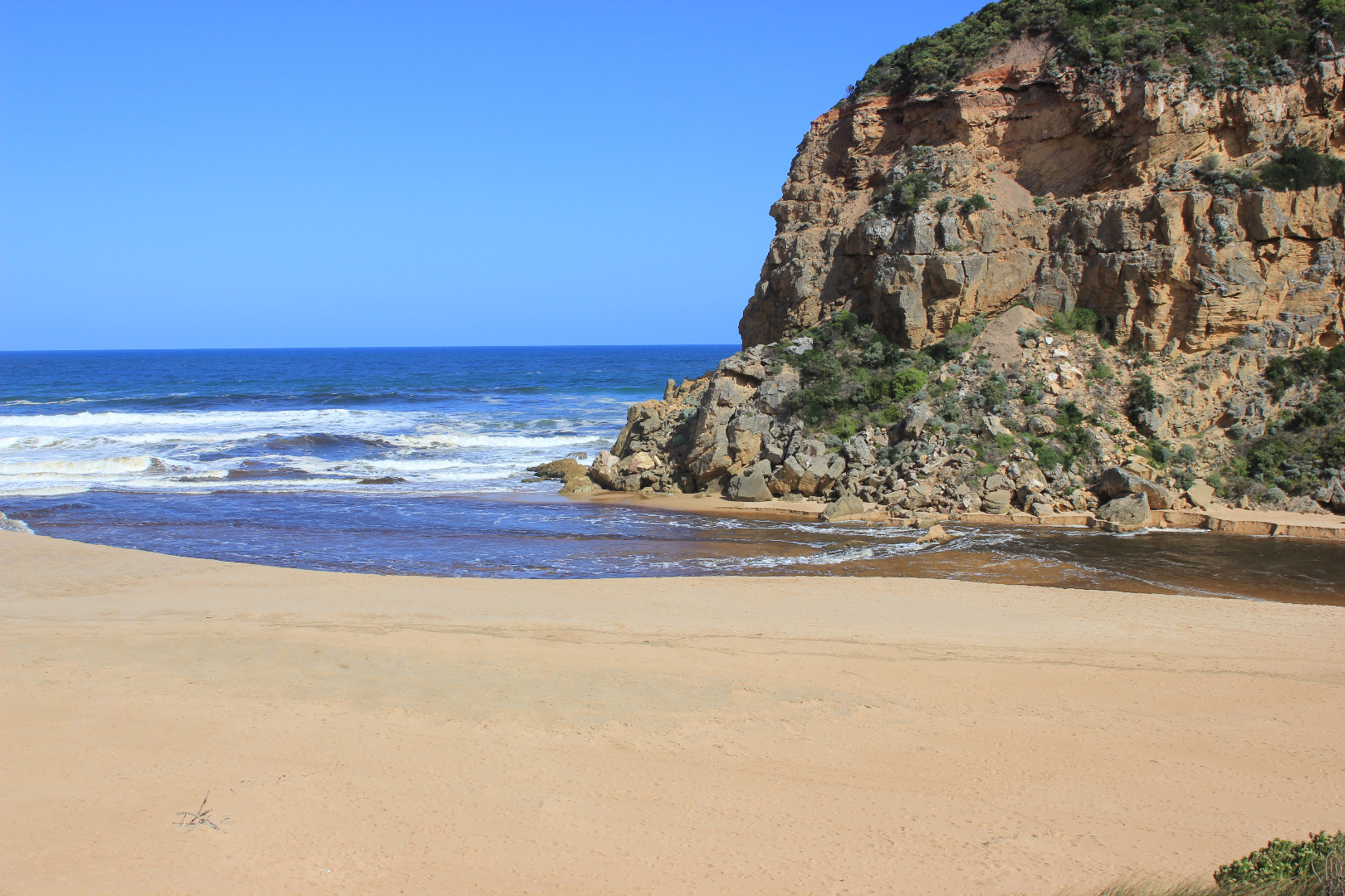
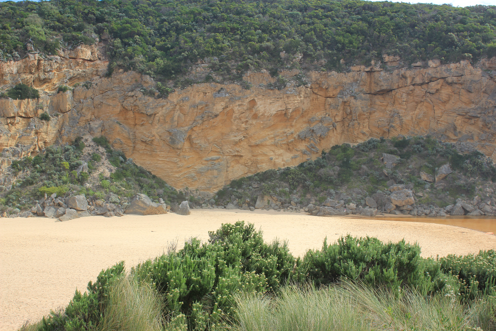
Flowing very strongly out of a wide entrance, dark discharge around mouth & to east. Channel is wide at entrance & very wide at entry from estuary where it forms a curve around the Gp1 dune site. Channel also widens significantly level with rocks where flow swings around to east. Channel bank on east side is sheer and starts at .3m from estuary, .80m just before rocks & over 2.5m at ocean. Waves are entering across a very wide area over out flow.Waves going upstream are being created by both long shore drift and incoming swell. This activity is creating a whirlpool at rocks with a great deal of sand visible in water. Sand build up visible around & directly downstream of rocks Beach face is gradual slope with waves travelling up to dunes at east. Musk duck sighted on estuary |
|
| #11093 | 13 Apr 2017 | Approved |
Notes:
Artificial opening commenced 08:40 - complete 09:30. flowing strongly out. AHD level continued to rise till after midday Berm was opened from near midway across the estuary front where waves had entered during previous high tides. Waves were going high up on the beach at that time. The excavation channel went straight over part of first completely submerged rock with the excavated sand being placed all along the west bank - apart from a very small area placed on the east, directly at swash line. Camp ground flooded & water at sides of OCR. GOR had water 1/2 way across & OOR water up to about .25m at flood markers near blocked culverts |
|
| #11092 | 11 Apr 2017 | Approved |
Notes:
AHD @ G6 1.91@12:12 Mouth closed but waves have pushed more sand into entrance & along channel. Sand has covered more of the rock and pushed further north into the estuary. Very loose wind blown sand at head of estuary to a depth of .30m (quicksand) 1st berm at beach face has been removed & length of berm shortened to about 91m with gradual slope to sea Storm surge previous during previous days has reached dunes all along the beach then turned west (long shore drift) to entrance,channel & into estuary. Dunes have also been reshaped by wind -sand covering veg. at Gp1 site Water in low areas at camp ground, at sides of OCR & across OOR at flood markers (about .25m) |
|
| #11065 | 6 Apr 2017 | Approved |
Notes:
Mouth closed - very long wide bar with wide front across estuary Beach highest at east end but also high area just east of the channel. There are deep channels along beach front running north to south. Actual area directly in front of mouth is extremely low compared with rest of beach, and being continually scoured out by by waves coming up over the 1st small berm closest to sea then running west along a lower channel dividing 1st and higher 2nd berm Low track completely under water with many small fish observed, high track has water cover in low area, no visible water cover in camp ground and water only at sides of OOR near flood markers
|
|
| #11064 | 1 Apr 2017 | Approved |
Notes:
Mouth barred but waves from very rough seas entering over a wide area. Only salt return. Long shore drift across entrance Large amount of sand at entrance and in channel -only about .20m of large rock above Entrance is lowest part of the beach, sand is higher mid beach and at east end Some waves going up over steep slopping beach front almost up to dunes
|
|
| #10995 | 25 Mar 2017 | Approved |
Notes:
Mouth has been barred for about 5 days. Occasional wave overtopping berm but not reaching estuary. Berm short in a similar pattern to previous natural opening. A small channel .50m wide is flowing beside rocks at cliff face but no outlet closer to sea was observed. A large amount of brown scum/algae across start of estuary, also along south side of estuary Beach has been smoothed out, still highest at east end with projection at mid beach starting to return. Large amount of sand in breakers out to sea Low track completely under water with many different sizes of small fish active Over 50 Silver gulls on beach & along channel Algae continues to form across Latrobe wetlands |
|
| #10990 | 17 Mar 2017 | Approved |
Notes:
Observations made at low tide. Dark discharge out around mouth, slightly paler area to east. More sand has built up at entrance & along channel, steep east side has been reduced & more sand pushed in. Waves from WSW swell & long shore drift are trying to enter over very reduced out flow (low tide) Beach still highest at east end undulating down to raised area at mouth/channel |
|
| #10989 | 15 Mar 2017 | Approved |
Notes:
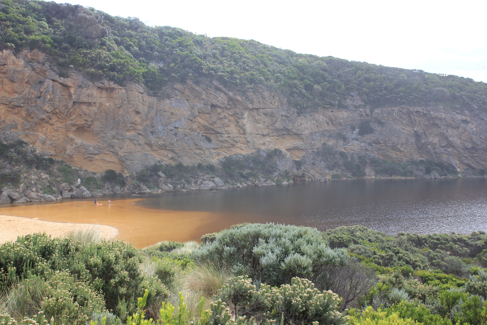
Dark discharge only along beach face for about 5m.then mainly turning out to sea - some very pale discharge along shore line to reef at east. Sea has been up over quite a large part of the beach & has brought more sand to entrance and created a high swash line in the estuary from waves entering at hi tide. Small waves currently entering channel & estuary despite strong N wind (4-5). Sandbar in estuary well exposed about 70 white Ibis & many silver gulls there at 12:15 Water in estuary very red colour with red silt(?) in swash line, water is also red around G2. Many small fish active in shallow water at side of low track Latrobe wetlands -lower water level but great increase in algae ! dead eel on sand at start of channel. Still thousands of Millepedes |
|
| #10987 | 13 Mar 2017 | Approved |
Notes:
Out flow reducing, only running along side high sheer beach face for a short distance then out south.Sand bar at mouth has increased also sand from east forcing flow between these areas. Waves from SE swell are crossing the sand bar & small waves trying to go upstream. The 2nd rock is just starting to appear. Sand bar in estuary is exposed & sand on S side of estuary extends far out . The high water has dropped significantly but the algal 'nets' that usually blanket the submerged stream side veg. are not evident, (but 2 very small contained pools along the low track do have these nets.) Some dead flathead gudgeons in these areas Throughout this event there have been thousands of millipedes in all areas -even the dunes at Gp1 |
|
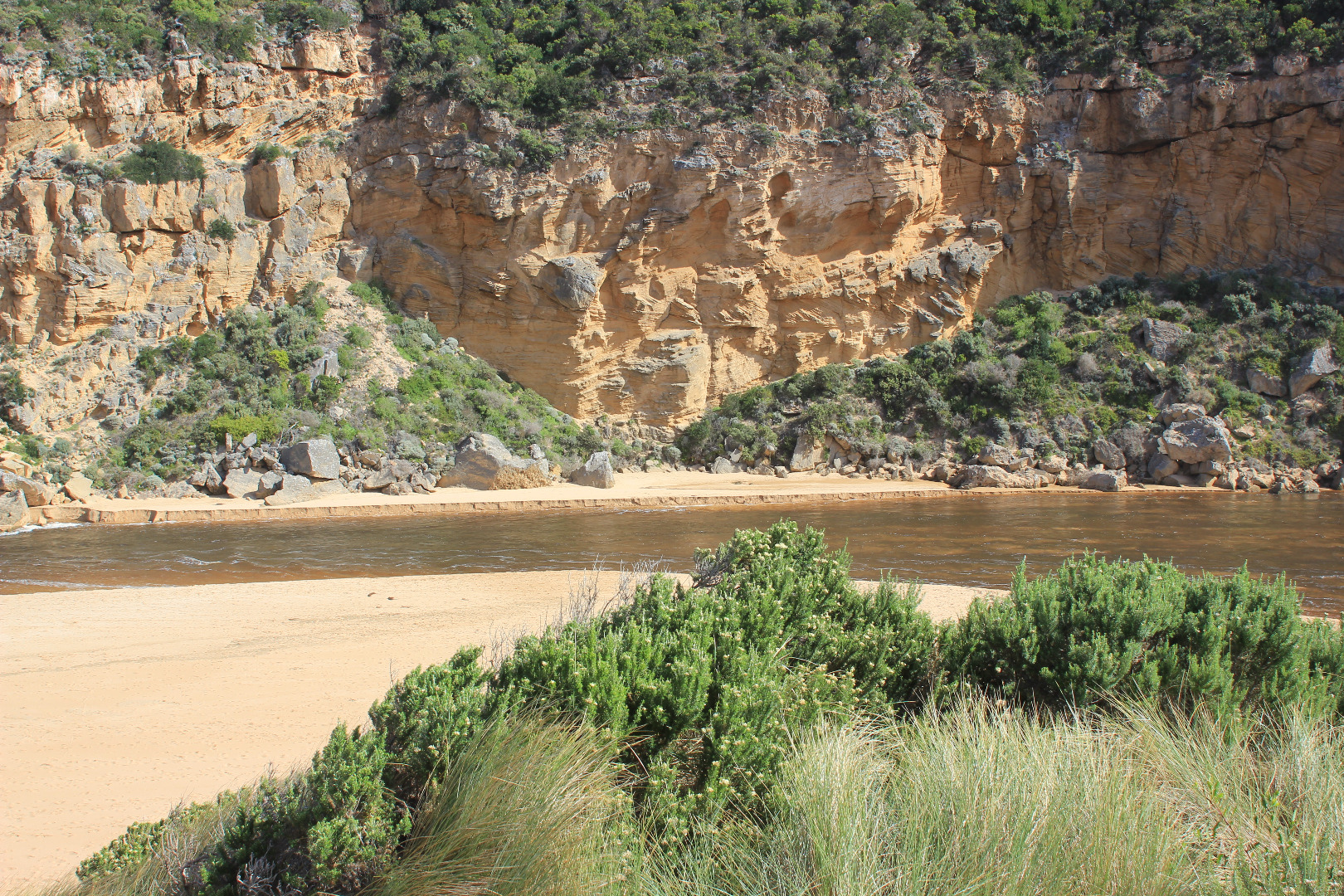
| #10986 | 12 Mar 2017 | Approved |
Notes:
Sluggish dark brown outflow around mouth. Channel is against cliff but flow turns sharply east along beach face till it meets sand buildup from east a short distance from actual entrance & turns out to sea. A small sand bar continues to build up across the front of entrance from the cliff forcing the outflow to turn sharply between both areas.(about 4m. wide). Some waves from SW swell crossing over the small sandbar into the out flow the occasional one going up stream. Long shore drift also active Many small fish around start of channel from estuary. ! dead Black Bream (stranded) |
|


All content, files, data and images provided by the EstuaryWatch Data Portal and Gallery are subject to a Creative Commons Attribution License
Content is made available to be used in any way, and should always attribute EstuaryWatch and www.estuarywatch.org.au