EstuaryWatch Data Portal
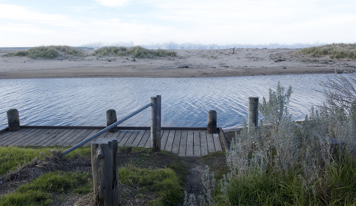
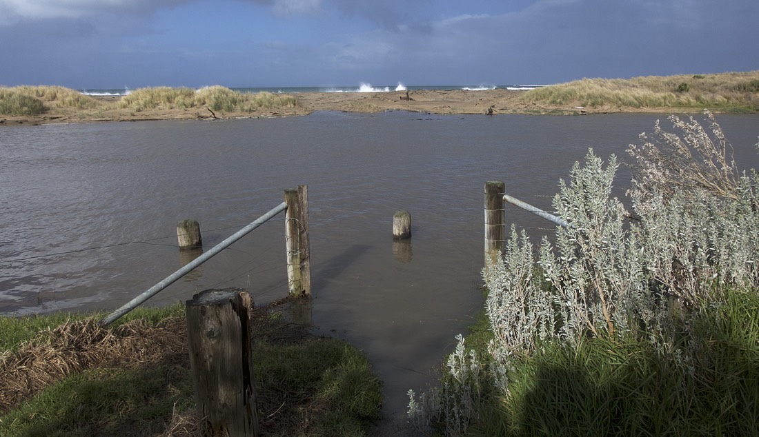
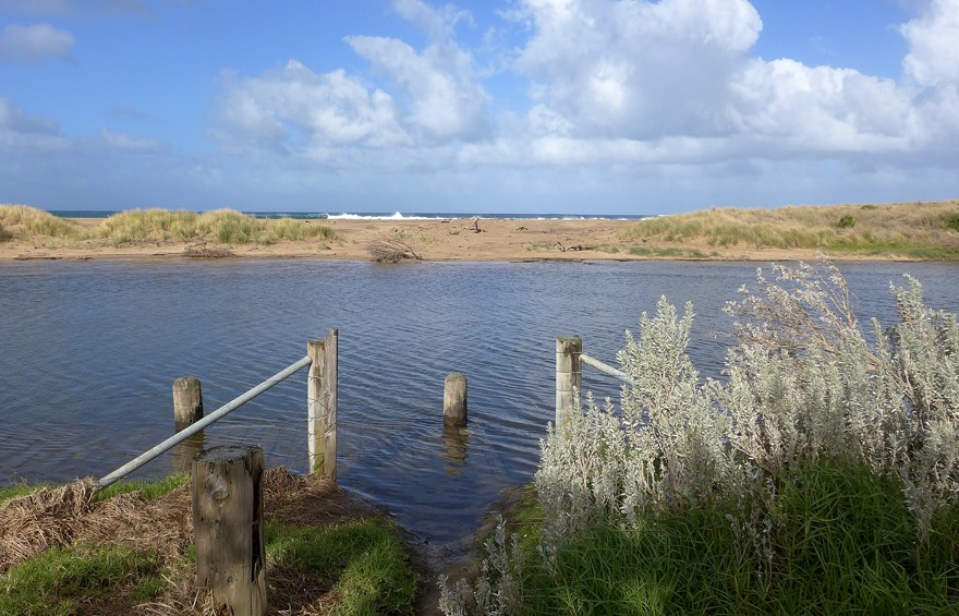
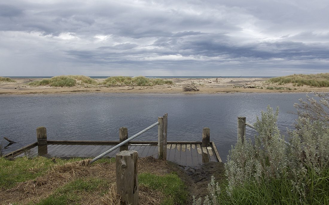
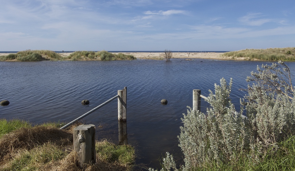
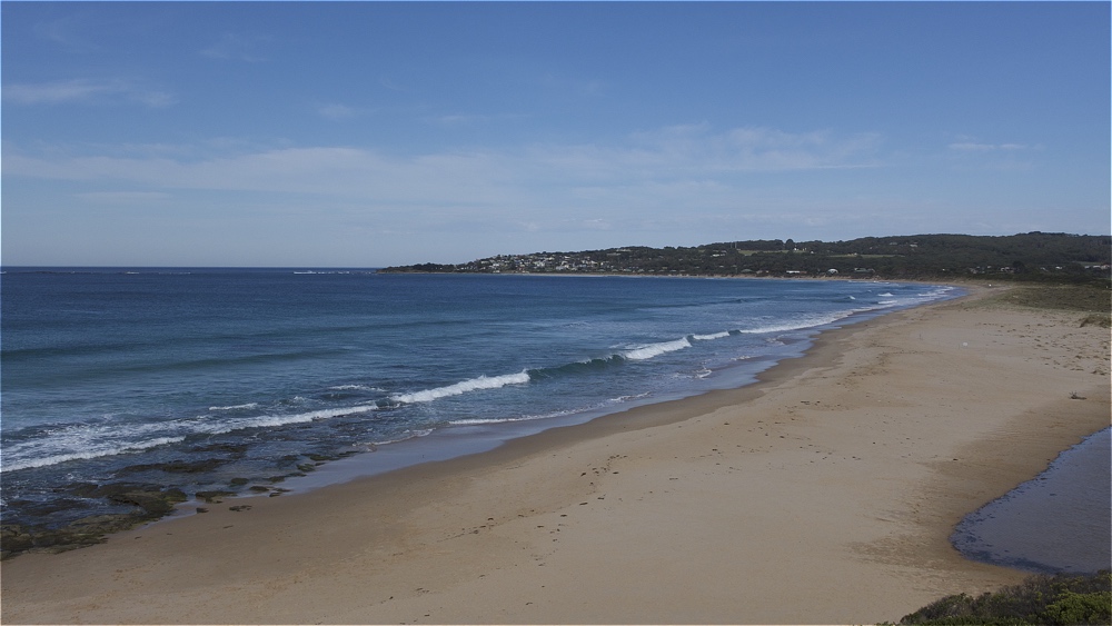
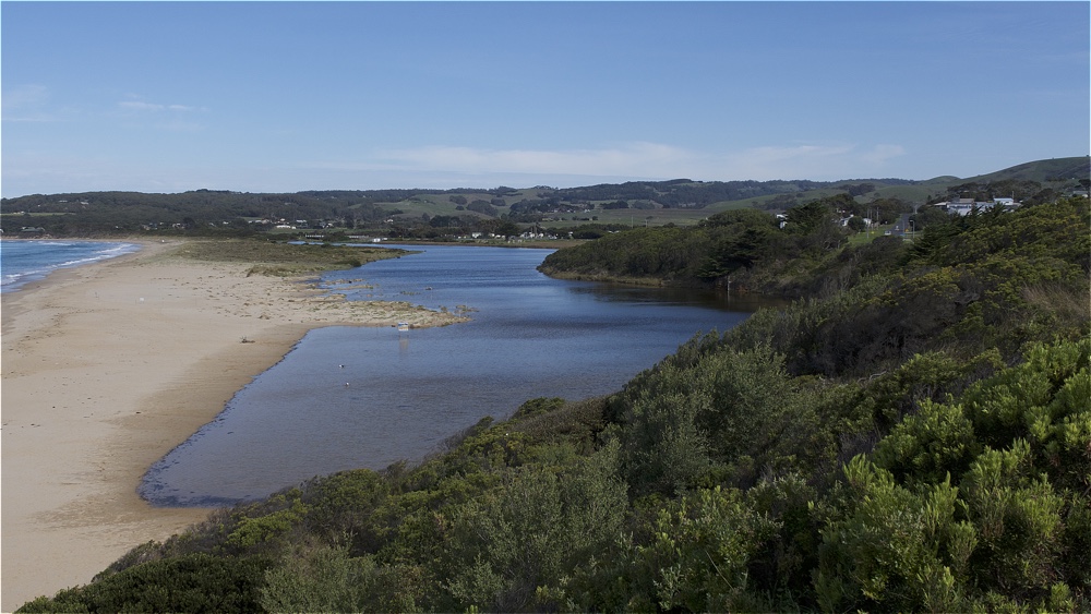
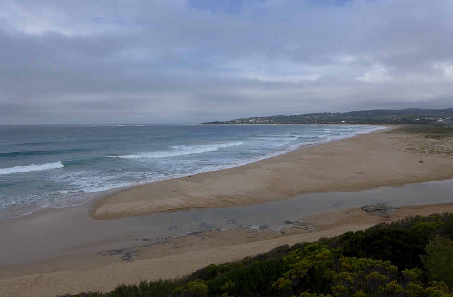
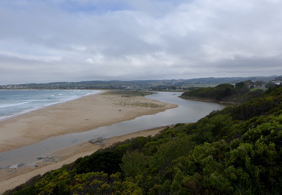
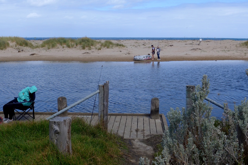
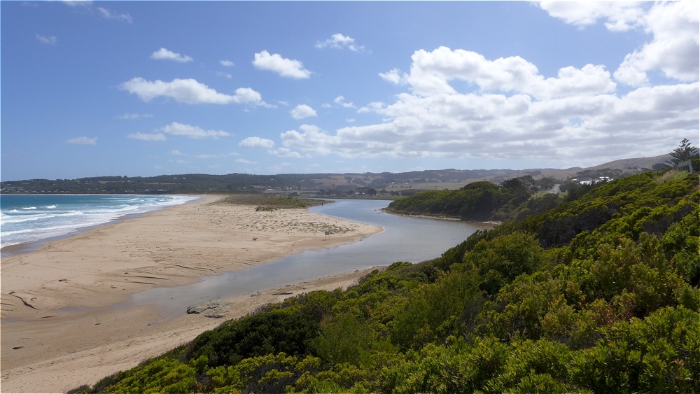
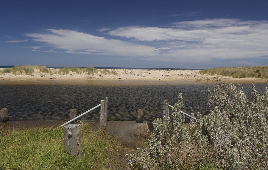
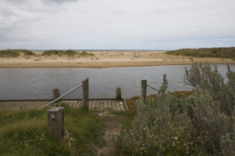
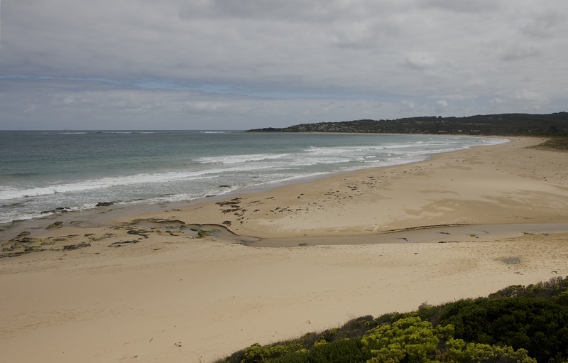
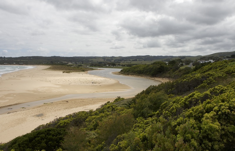
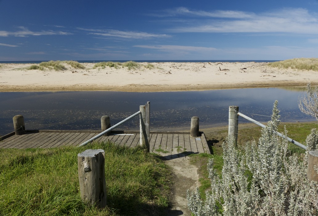
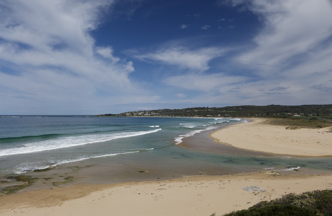
BmMC Barham River Observation Site
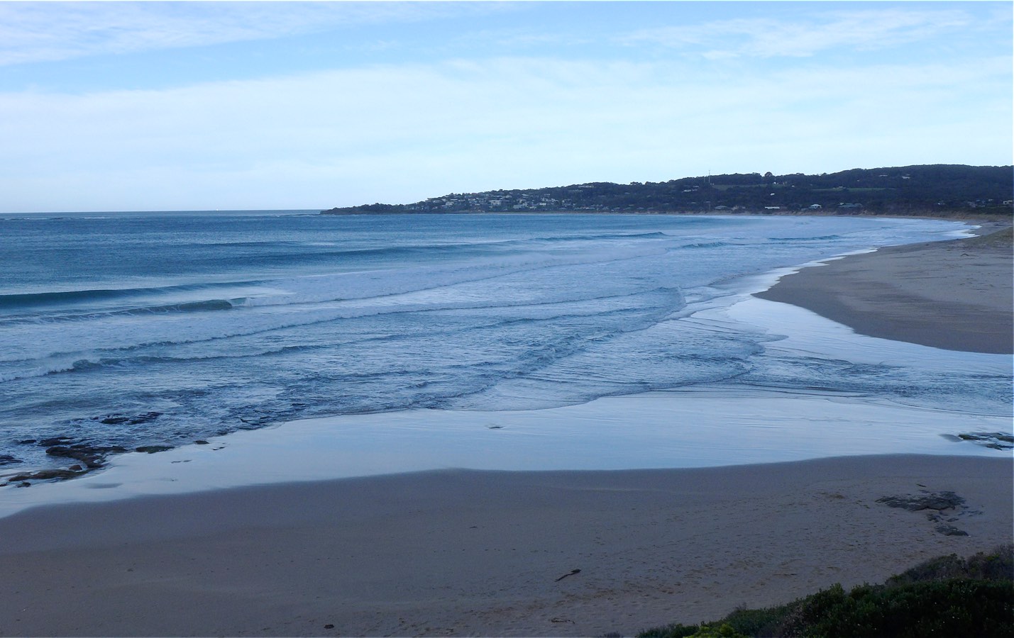
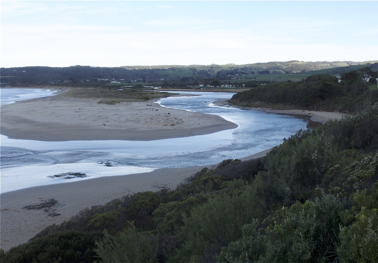
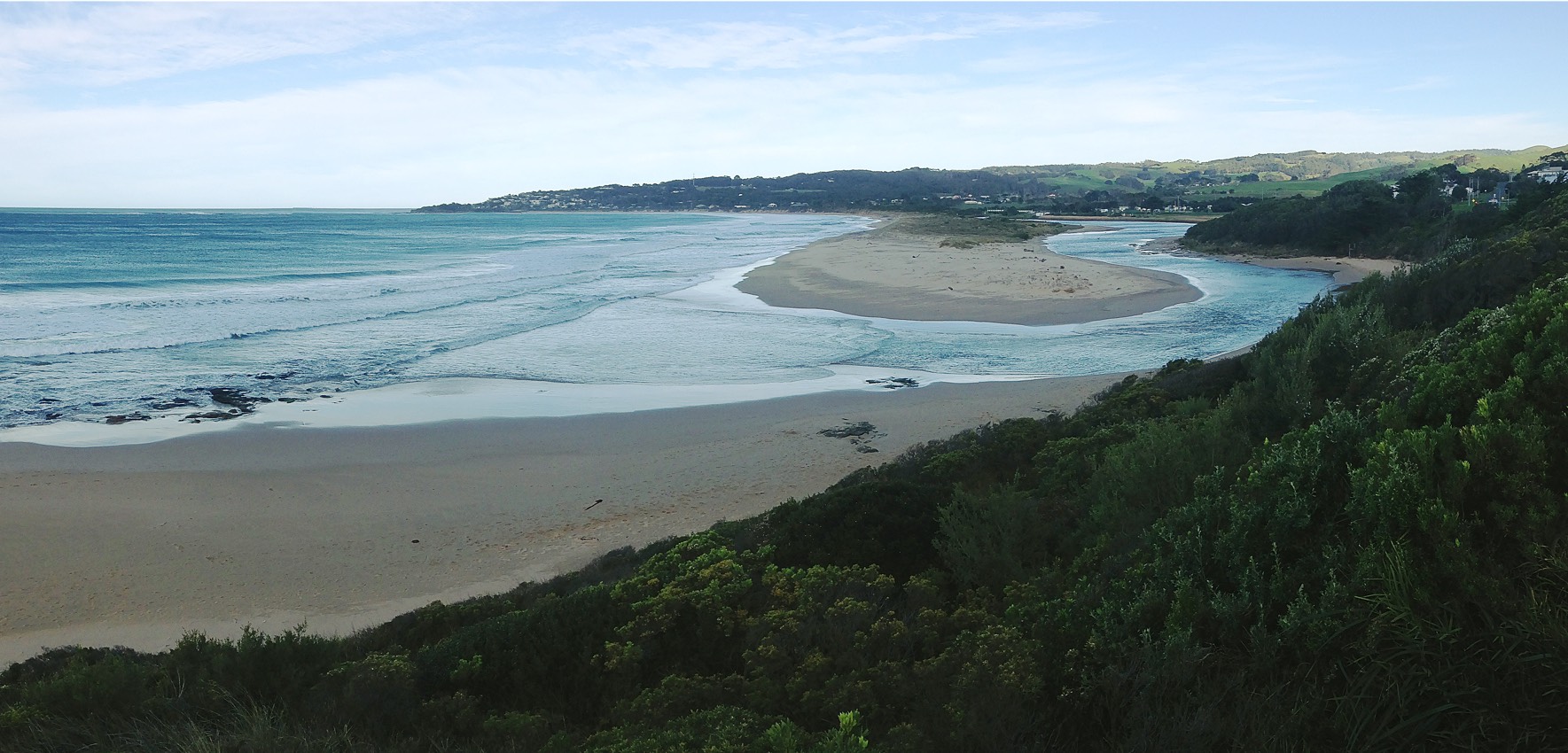
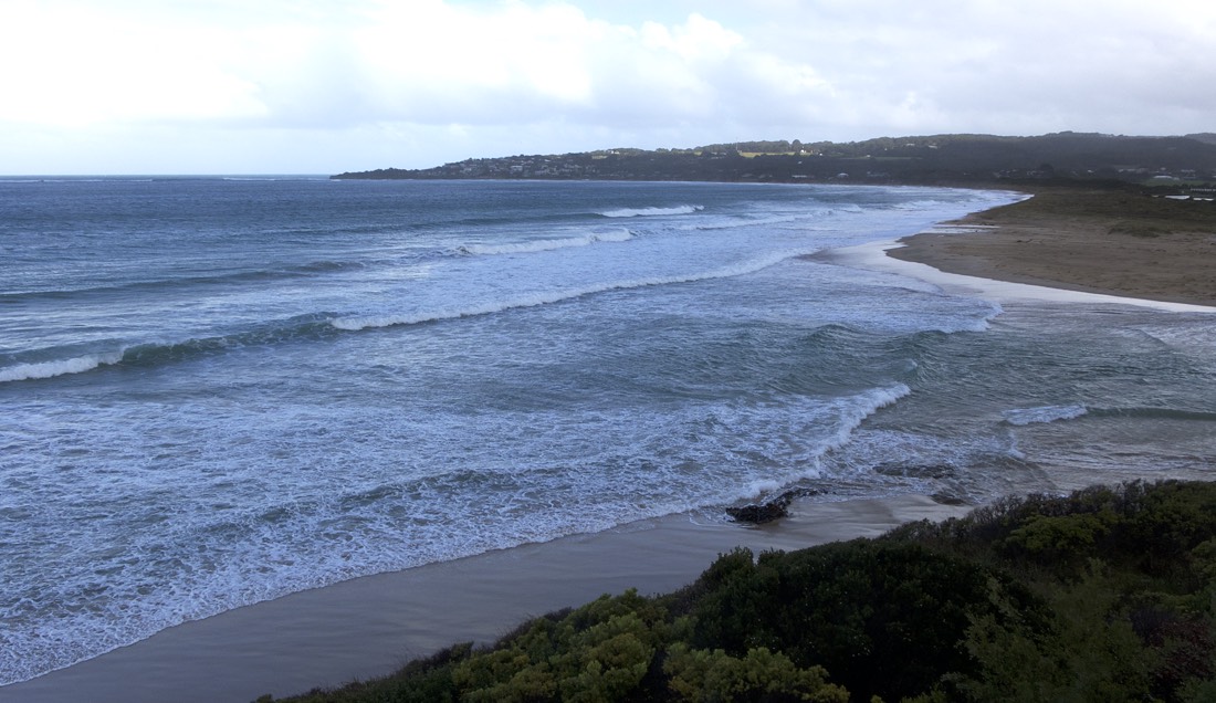
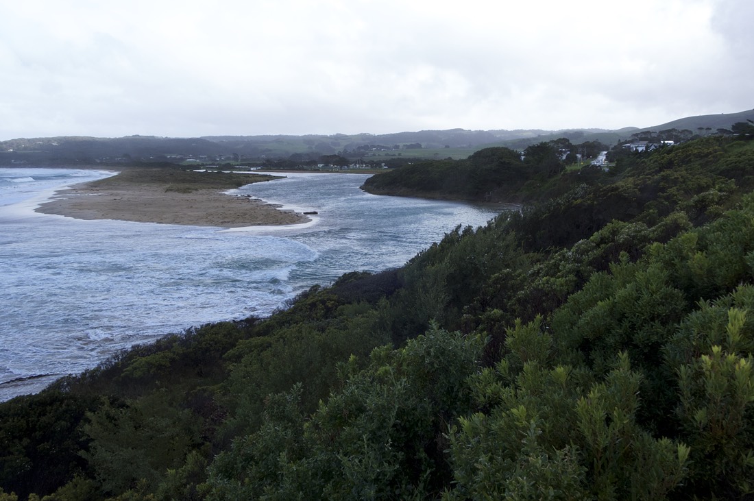
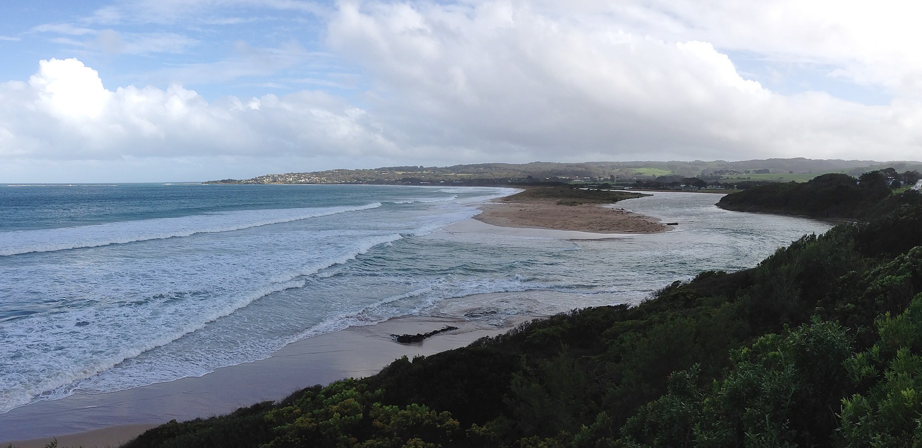
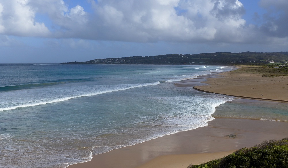
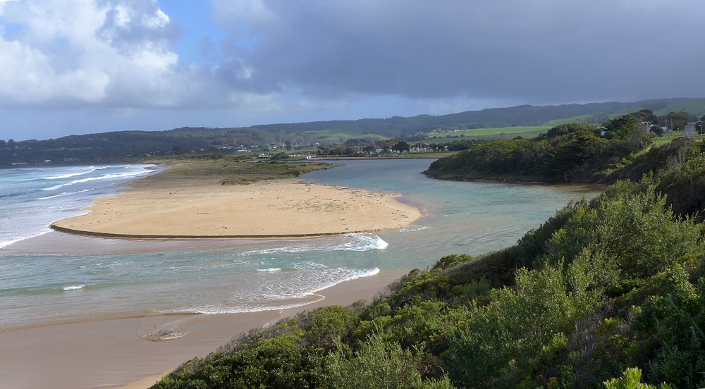
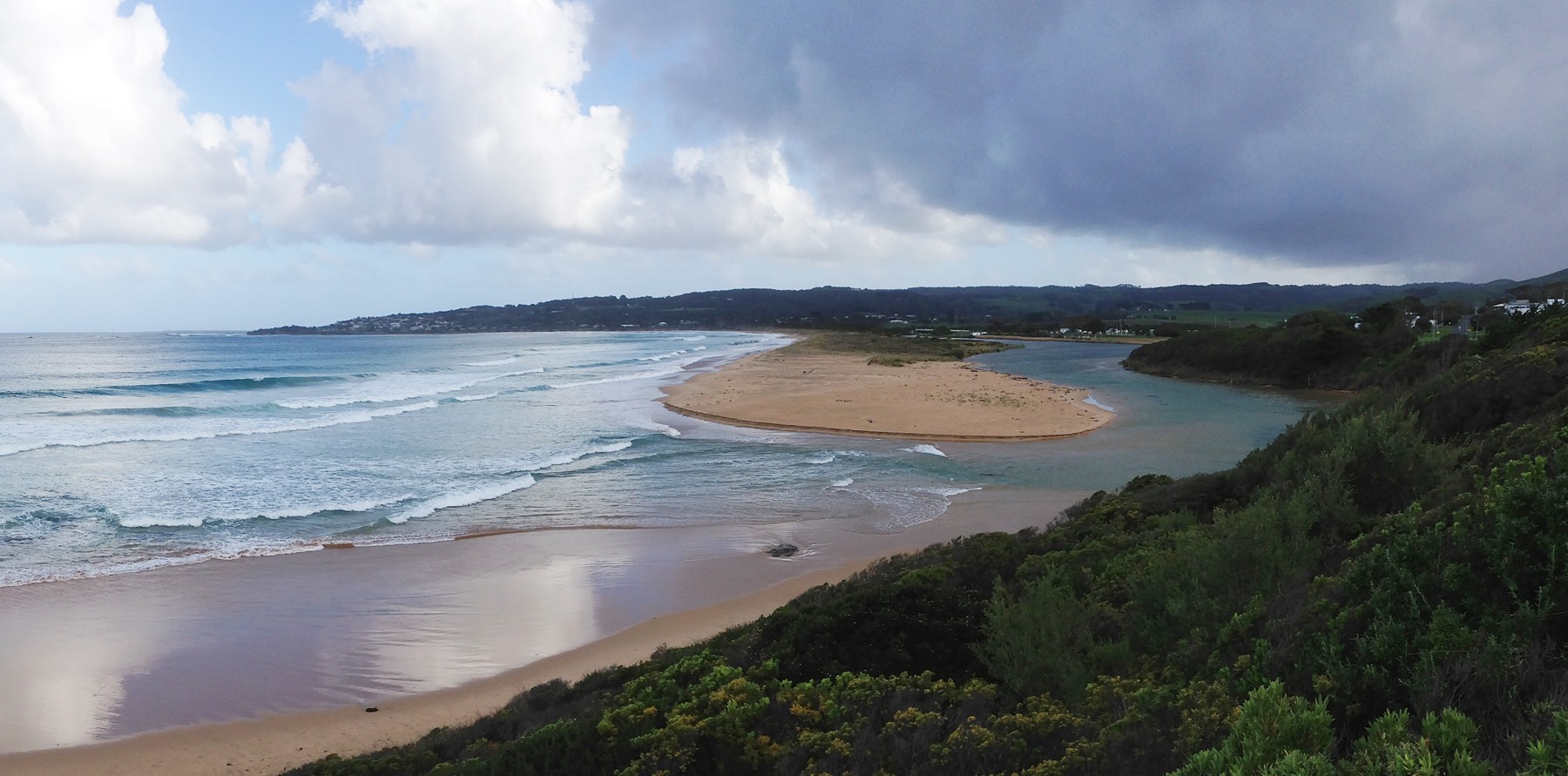
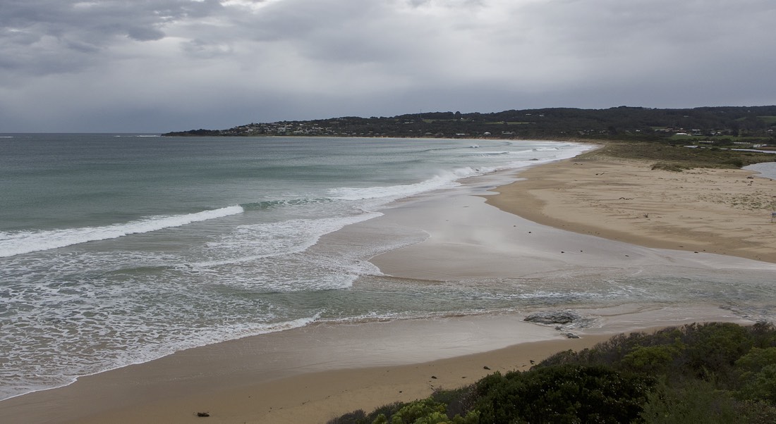
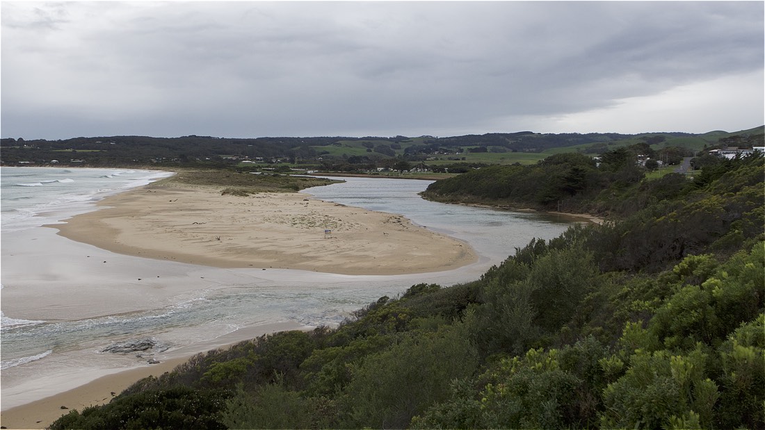
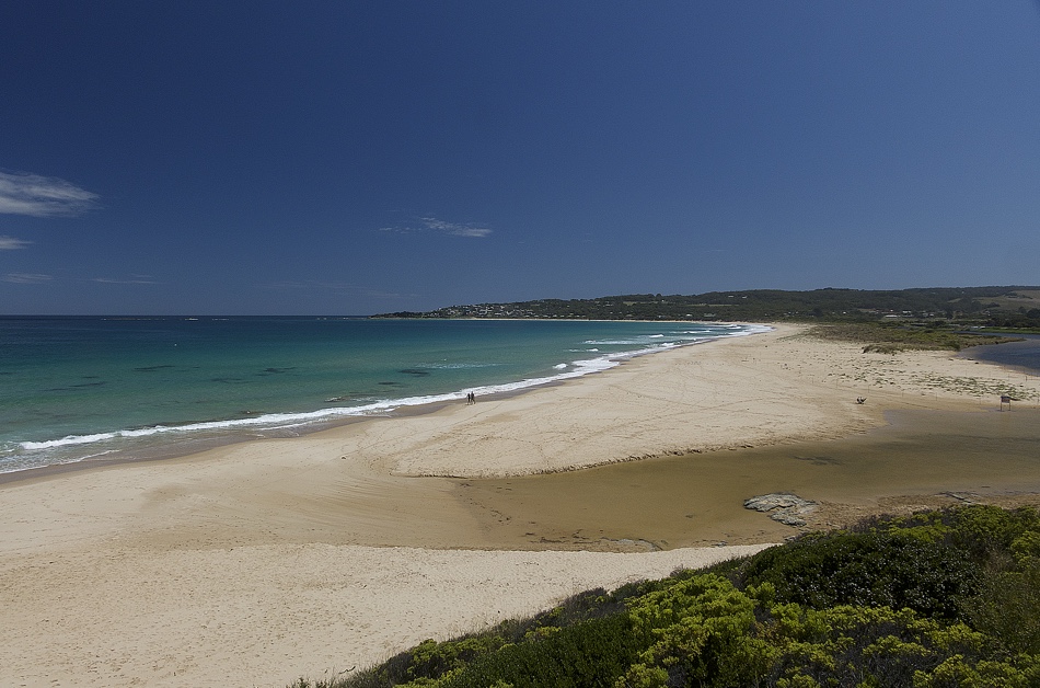
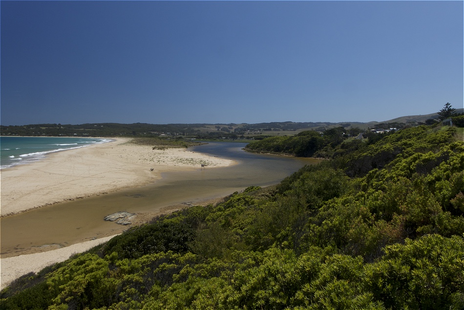
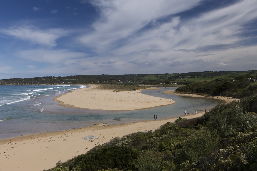
Active Mouth Condition 23-05-2008 - 19-04-2024Barham River Estuary
155 results found (Displaying 51 - 60)
| ID | Date | Status | Details | |
|---|---|---|---|---|
| #10552 | 16 Aug 2016 | Approved |
Notes:
Rainfall past 48 hrs = 3 mm; atmospheric pressure = 1022.2 hPa. |
|
| #10550 | 22 Jul 2016 | Approved |
Notes:
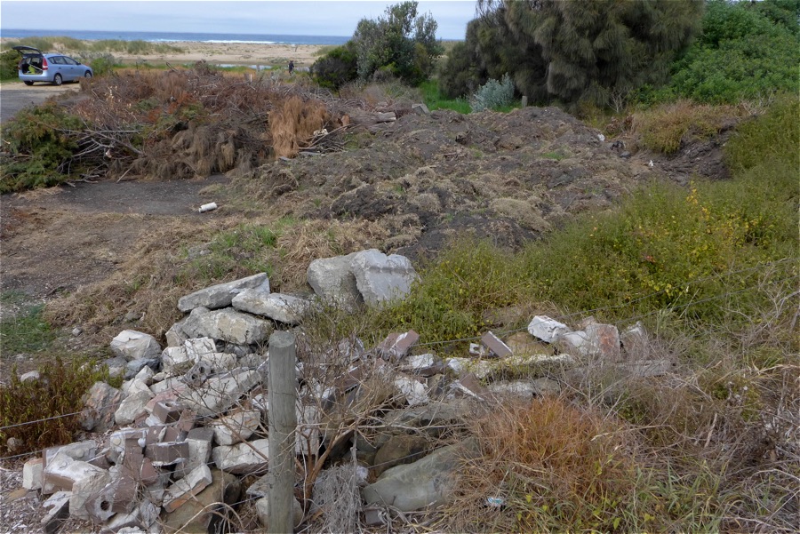
Air Pressure 993.9 hPa Rainfall last 48 hours 19.8 mm High Tide plus swell causing overflow banks at bridge (BmP2) fishing platforms flooded. Wide and deep mouth channel Brush pile at bridge car park has been burnt, but dumping continues. |
|
| #10389 | 22 Jun 2016 | Approved |
Notes:
Rainfall in last 48 hours 7.8 mm Atmospheric Pressure 1000.0 hPa. |
|
| #10333 | 25 May 2016 | Approved |
Notes:
Rain in last 48 hours 8.6 mm Atmospheric Pressure 1009.6 hPa Since last months monitoring high sea swells+ high tides + low Pressure produced several days of wave surge that appears to have moved much sand across the first berm and depositing it into the river. |
|
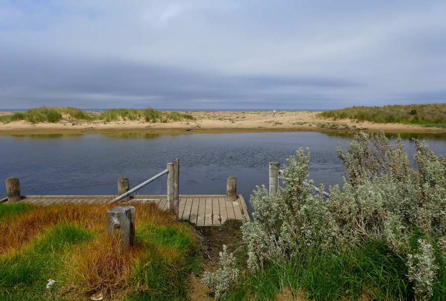
| #10257 | 20 Apr 2016 | Approved | Notes: Rainfall lst 48 hrs 0mm, Atmospheric Pressure 1020hPaWater level at rain gauge is high with fishing platforms under water. Wide berm across closed mouth has caused the river to widen considerably,flooding hood plover nesting area. Berm length was 38metres. | |
| #10196 | 11 Mar 2016 | Approved |
Notes:
Rainfall last 48 hours 7.2 mm. Atmos. Press. 1018.3 hPa Photo included of brush pile @fishing platforms car park - it continues to grow!!. Berm opposite fishing platform is quite high with colonizing vegetation well established. No evidence of wash over by waves. The Algae mat noted last month is now senescing. The river moouth opening, though wide, is shallow inhibiting water flow either in or out. Mouth would be CLOSED at low tide. We have enclosed a copy of a letter addressed to Otway Coast Committee regarding the brush dumping at the car park, for your information. |
|
| #10076 | 15 Jan 2016 | Approved | Notes: Rainfall last 48 hours 4.2mm. Atmospheric Prressure 1032.5 hPa. Water stain on sandbank sugests the river level rose with the higher tide of 1.67 @04.06am, with rough waves surmounting the the berm at the mouth. Berm along the beach front is spotted with pioneering plants, and has been fenced off for hooded plovers nesting. Berm length 65.5m. | |
| #10010 | 15 Dec 2015 | Approved |
Notes:
Rainfall last 48 hours 0mm, Atmospheric Pressure 1016 hPa Vegetation has established along the berm opposite the fishing platform and towards the mouth Water stain on river banks at the mouth suggests river level has been higher during the last 24 hours, suggesting the river level has been higher, possibly due to wave intrusion at high tide (1.66m ) at 03:05 |
|
| #9954 | 21 Nov 2015 | Approved | Notes: Rainfall last 48 hrs 4.8 mm. Atmospheric Pressure 1022 hPa | |
| #9839 | 13 Sep 2015 | Approved |
Notes:
Rainfall last 48 hours 0mm; Air Pressure 1022.5hPa A modest high tide and low rainfall resulted in low river level. Dunes well established. |
|


All content, files, data and images provided by the EstuaryWatch Data Portal and Gallery are subject to a Creative Commons Attribution License
Content is made available to be used in any way, and should always attribute EstuaryWatch and www.estuarywatch.org.au