EstuaryWatch Data Portal
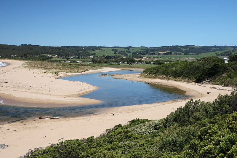
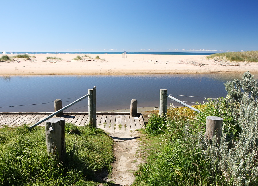
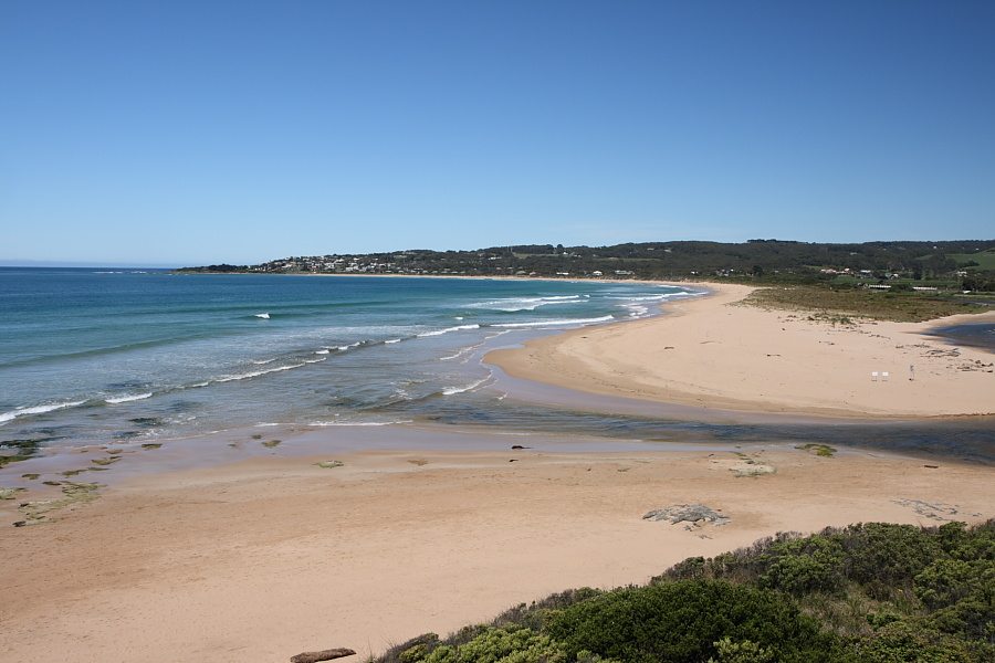
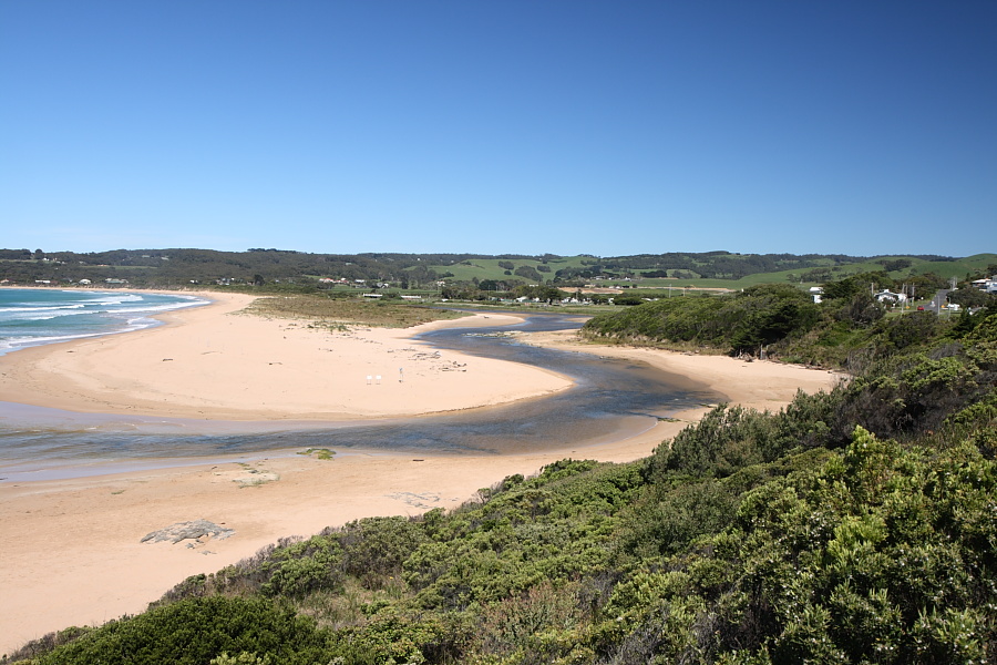
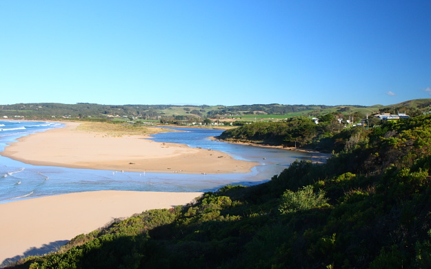
BmMC Barham River Observation Site
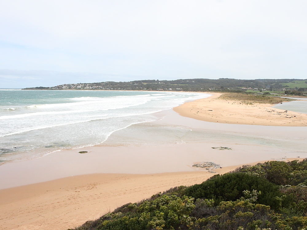
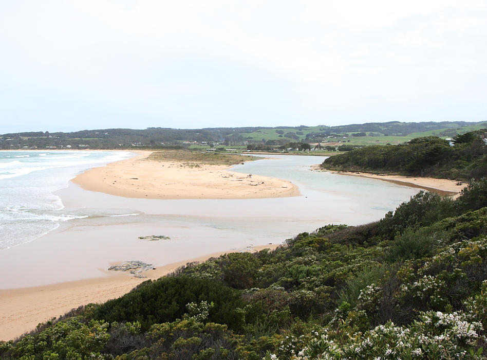
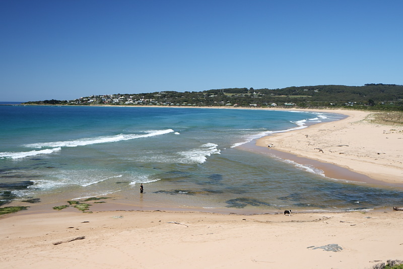
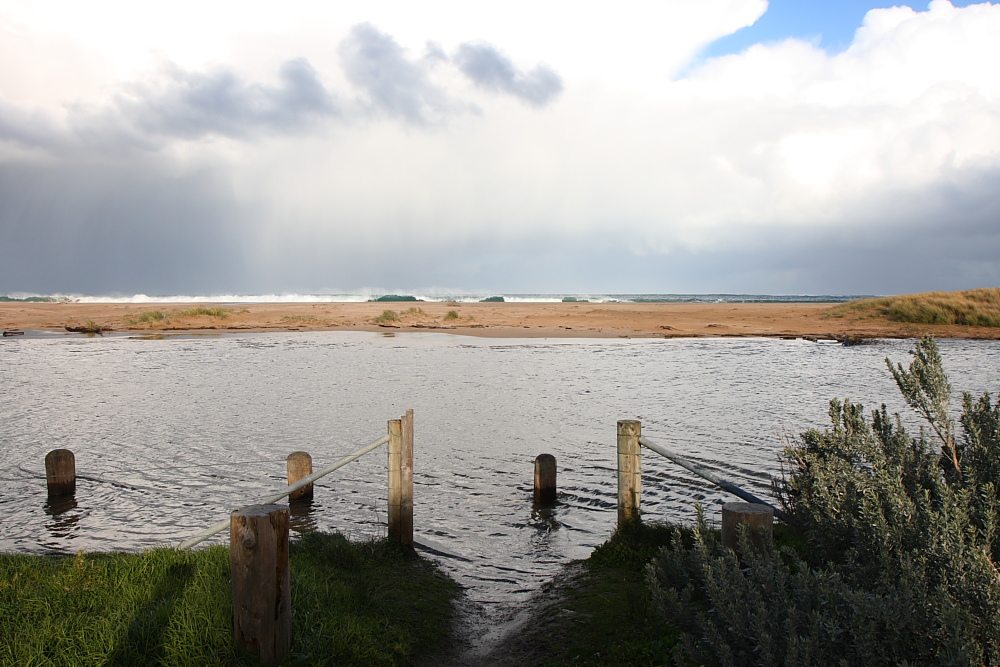
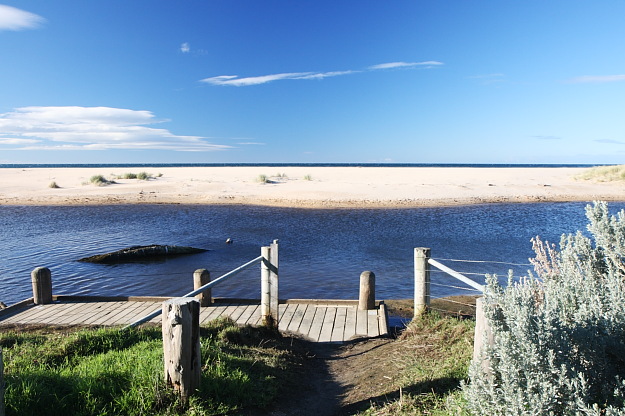
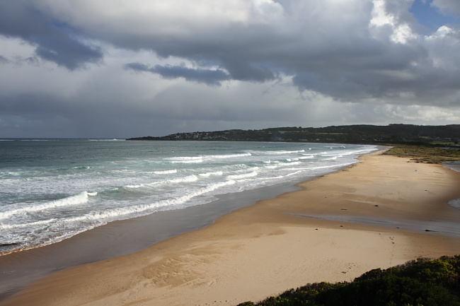
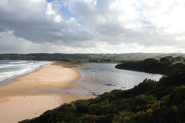
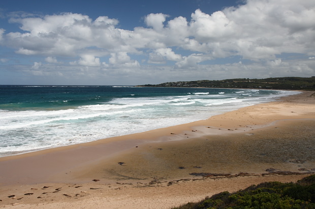
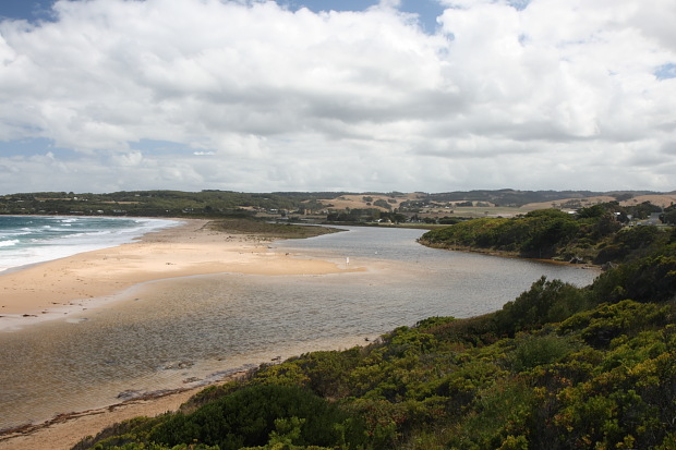
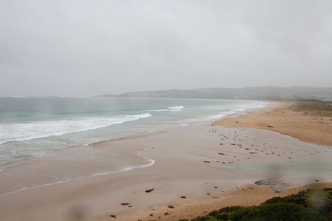
Active Mouth Condition 23-05-2008 - 19-04-2024Barham River Estuary
155 results found (Displaying 81 - 90)
| ID | Date | Status | Details | |
|---|---|---|---|---|
| #8609 | 2 Dec 2013 | Approved |
Notes:
Air Pressure 1016 hPa, Rainfall last 48 hours 0.00 m The river gauge was silted up to the 0.6 m mark, and Water Level entries are estimates only. Tidal influence was noted from the water stains left on the sand banks from an overnight high tide at 22:57 pm with a reading of 1.4m |
|
| #8545 | 2 Nov 2013 | Approved |
Notes:
No rain last 48 hrs; Atmospheric pressure = 1015.5 hPa *** Water levels are estimates only as at these low levels the river gauge is obscured by mud deposition. |
|
| #8511 | 4 Oct 2013 | Approved |
Notes:
Air pressure = 1021.0 hPa; 11.4 mm rain during past 48 hrs recorded at Cape Otway. Heavy rains and gale winds characterize preceding week.    |
|
| #8476 | 8 Sep 2013 | Approved |
Notes:
Air pressure 1027 hPa.
   |
|
| #8451 | 14 Aug 2013 | Approved |
Notes:
Rainfall last 48 hours 31 mm, Air Pressure 999.2 hPa River level is high due to heavy rainfall in preceding week, and to the high tide hindering outward flow. Berm at river mouth has been been eroded to lower its height. Mouth opening has widened. |
|
| #8319 | 6 Jun 2013 | Approved |
Notes:
Rainfall last 48 hours 2.8 Air Pressure 1012.9 hPa Waves moving upstream at mouth of river |
|
| #8257 | 1 May 2013 | Approved |
Notes:
Rainfall last 48 hrs 11 mm. Air Pressure 1021.3 hPa The river level is above the banks, flooding the camp ground, and the horse paddock as well as rest of flood plain near the river edge. Additional rainfall will intensify flooding. The berm opposite the fishing platform at the bridge has risen in height. At the Golf Course observation post the high tide breakers did travel over the closed mouth, but there is no outward flow of river water . Berm across the mouth at high tide is shallow, but wide 35 meters on river side and 7 metres on seaward side. |
|
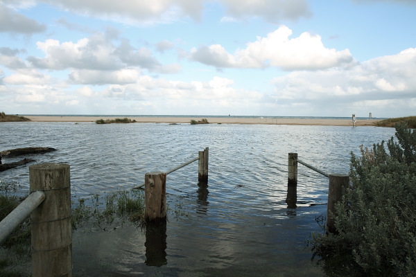
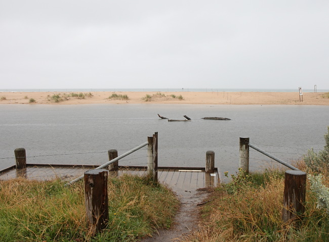
| #8199 | 28 Mar 2013 | Approved | Notes: Air Pressure 1013.9 hPa, Rainfall last 48 hrs 2.6 mm. Stormy conditions at time of sampling. River above banks and spreading to flats. Waves breaking over berms which have been reduced in height since last monitoring. At high tide waves were breaking over the shallow berm across mouth which would block outward flow at low tide. See photos. | |
| #8125 | 28 Feb 2013 | Approved |
Notes:
Air Pressure 1017.3 hPa, Rainfall last 48 hrs 14.0mm Water Level in the river high with flooded fishing platforms, and full banks. Level is due to the sand bar which is just underwater at high tide at estuary mouth. Mouth would be closed at low tide. See additional photo for BmP3 showing mouth. The location of the mouth has shifted north since last monitoring. Berm has been greatly reduced in height |
|
| #8048 | 31 Jan 2013 | Approved | Notes: Rainfall last 48 hrs 8.6, Air Pressure 1011.5 hPa. River level comparatively high. At HT the mouth was open with in flowing tide. However the depth at the mouth was very shallow, suggesting the mouth would be closed at low tide. This would help to account for the high river level. | |


All content, files, data and images provided by the EstuaryWatch Data Portal and Gallery are subject to a Creative Commons Attribution License
Content is made available to be used in any way, and should always attribute EstuaryWatch and www.estuarywatch.org.au