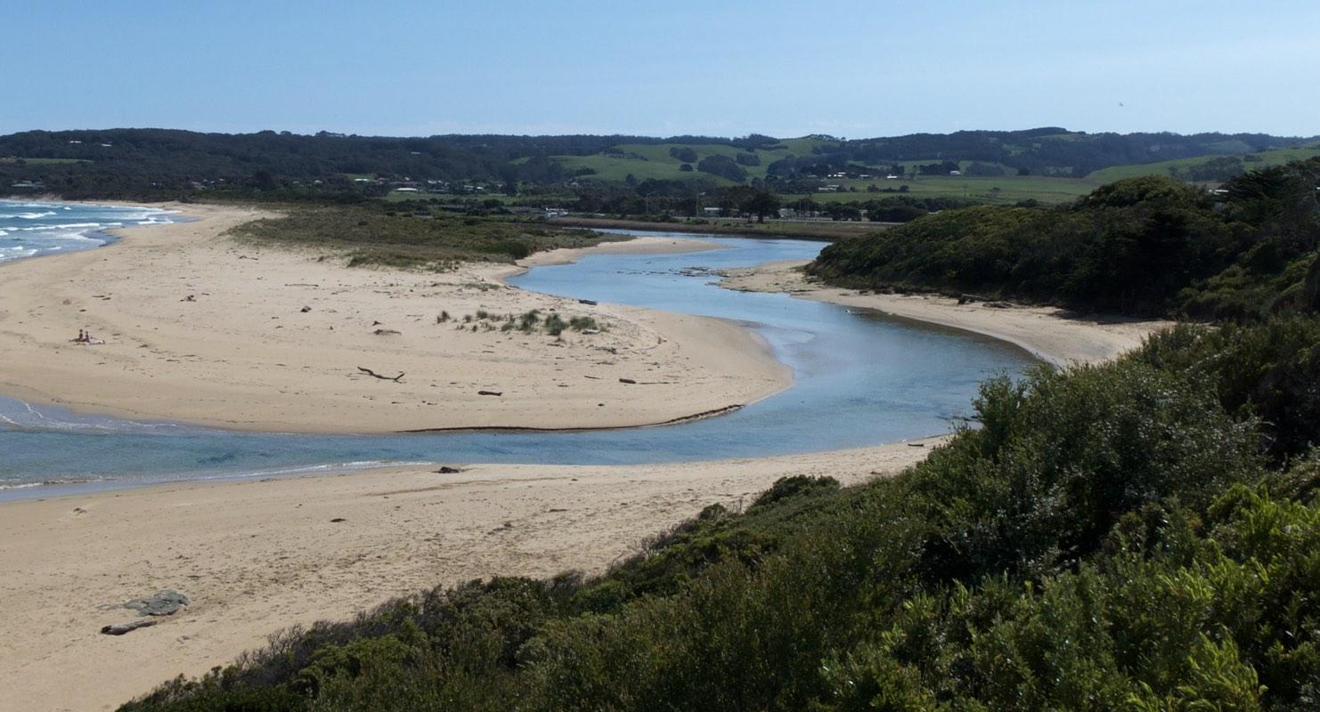
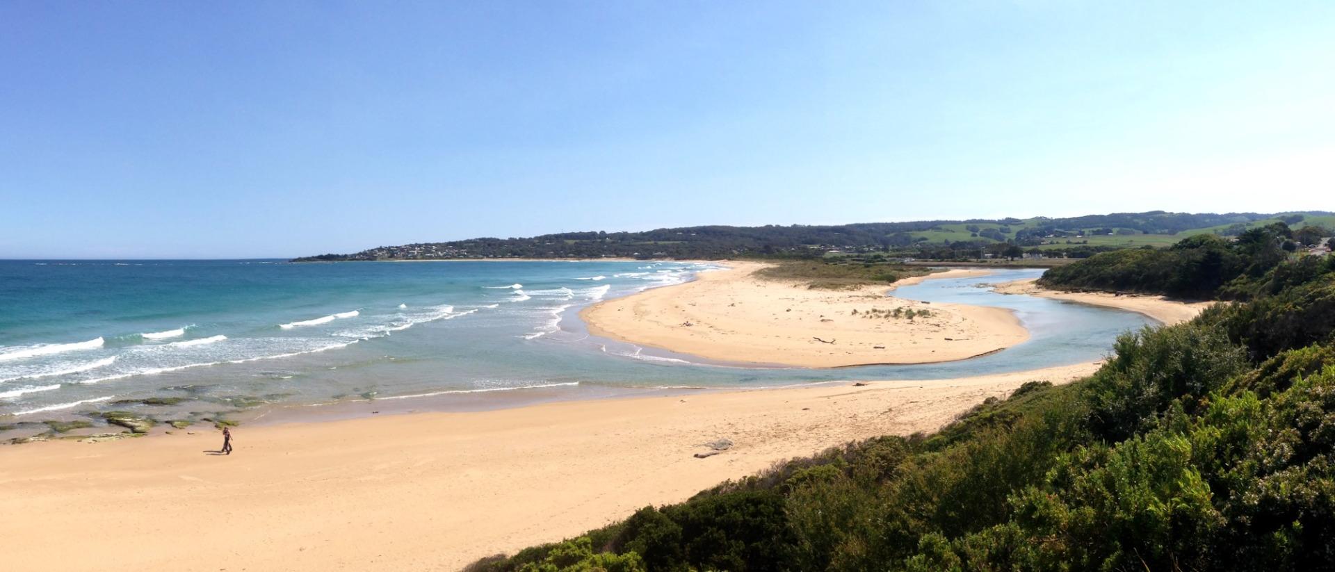
EstuaryWatch Data Portal
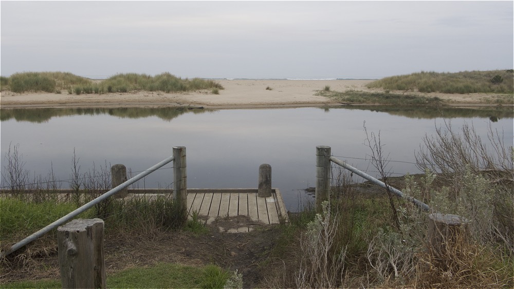
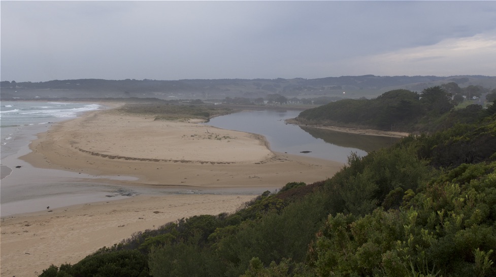
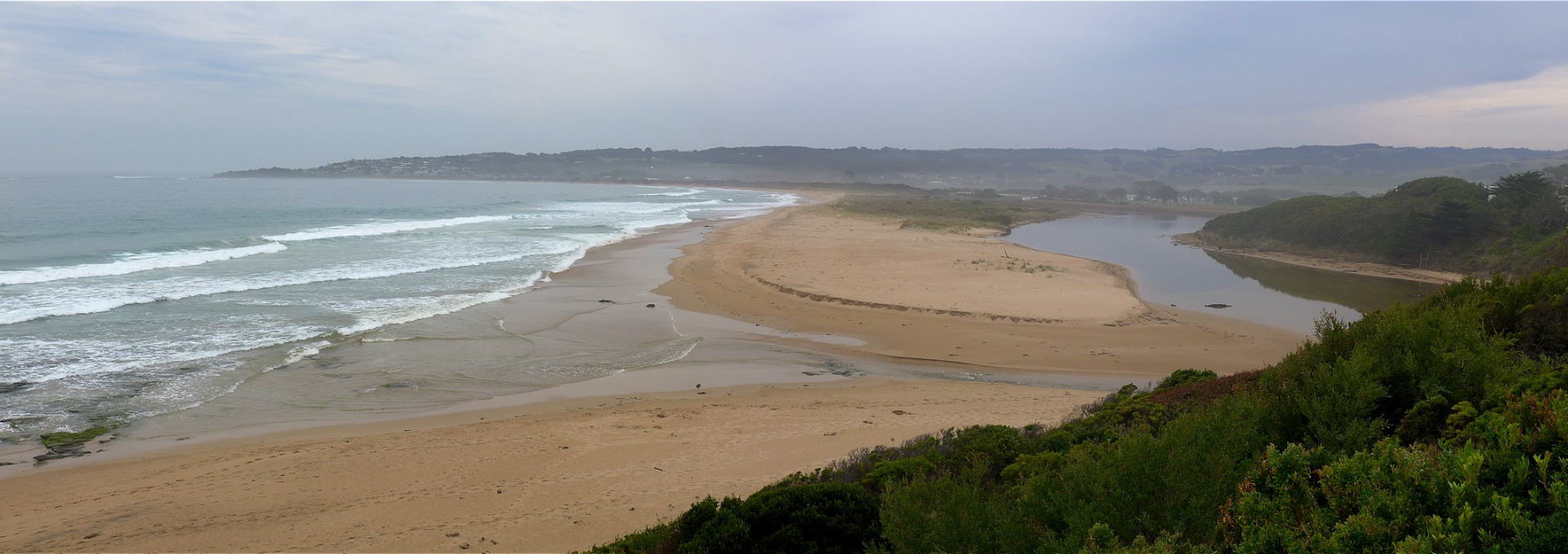
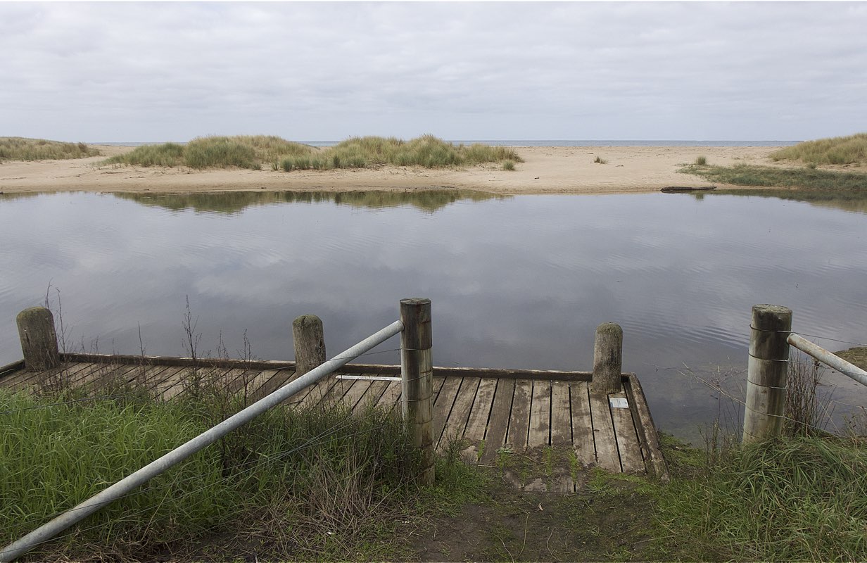
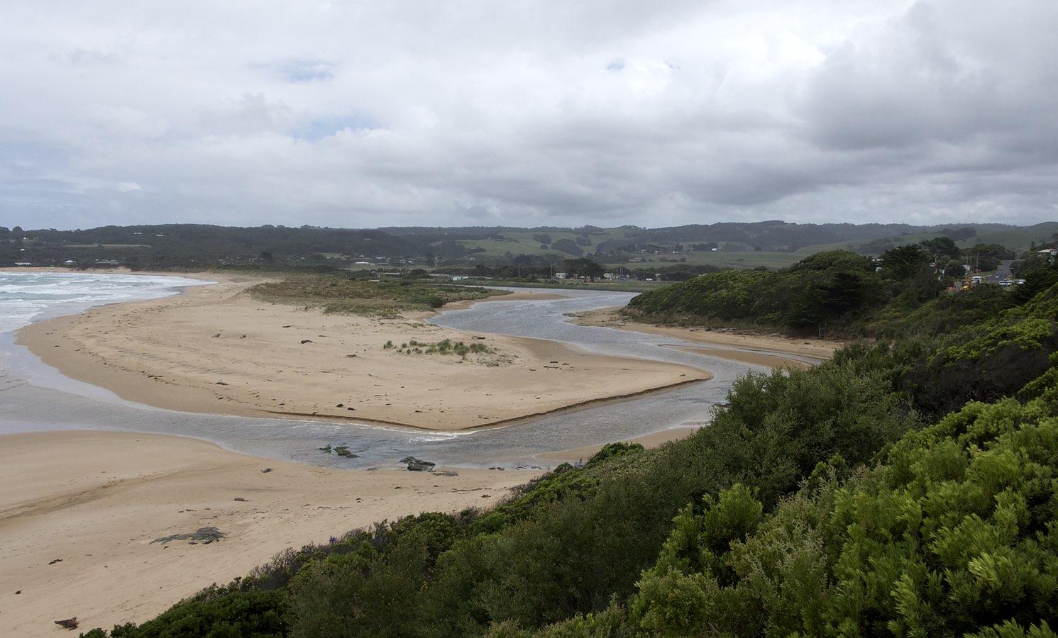
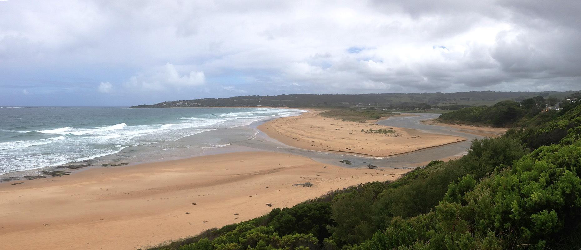
BmMC Barham River Observation Site
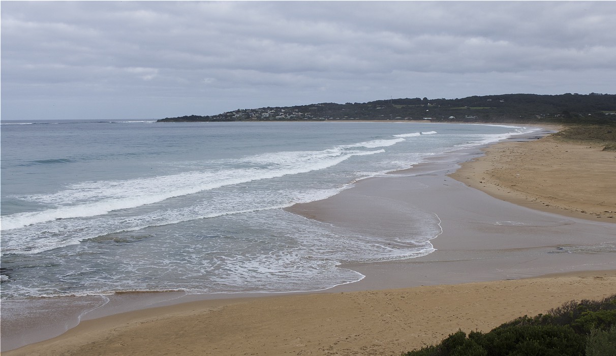
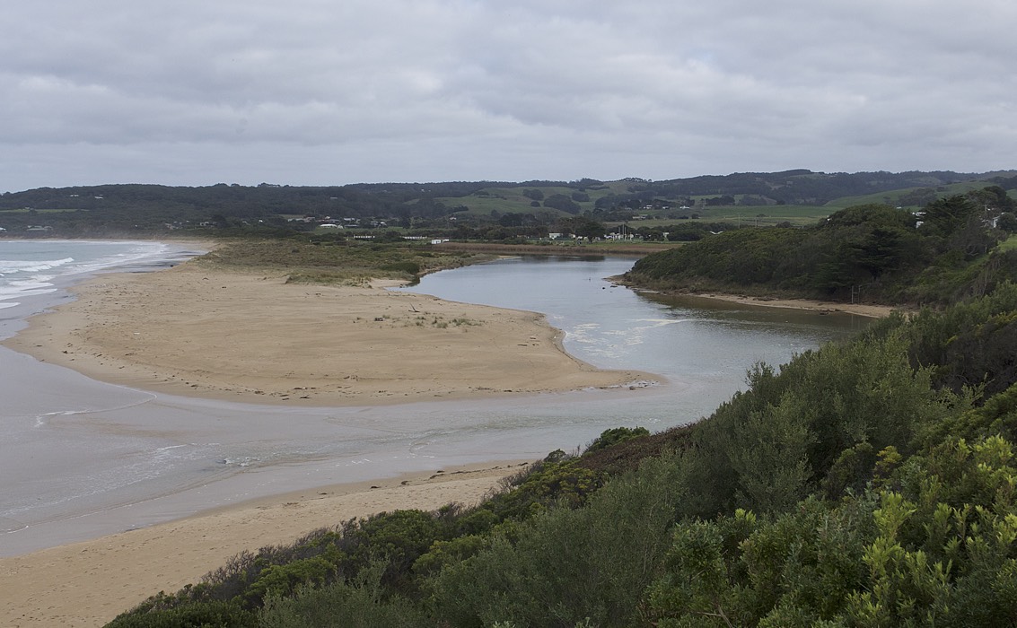
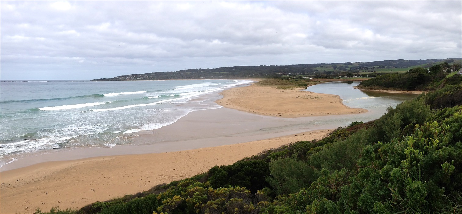
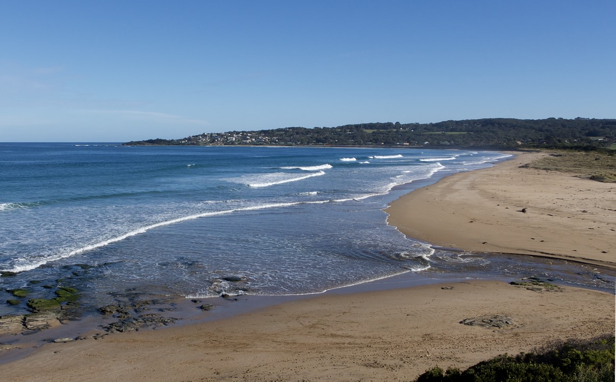
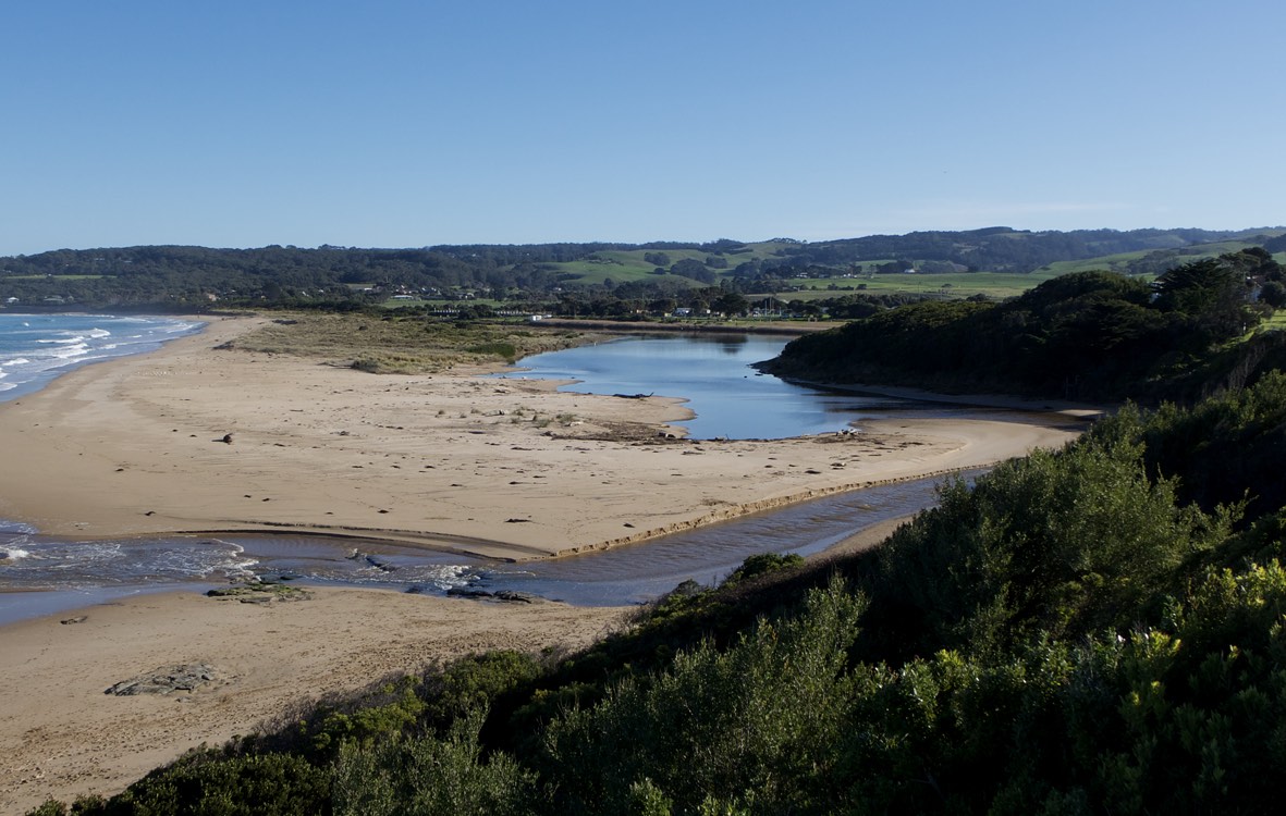
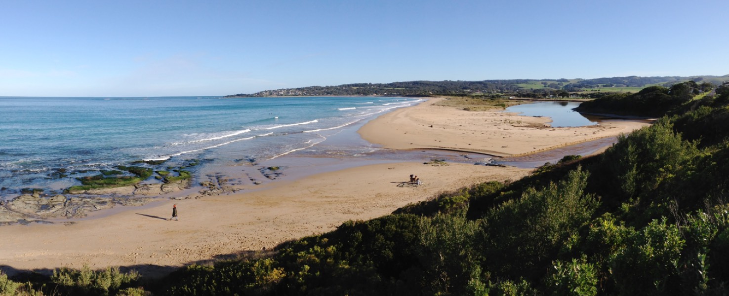
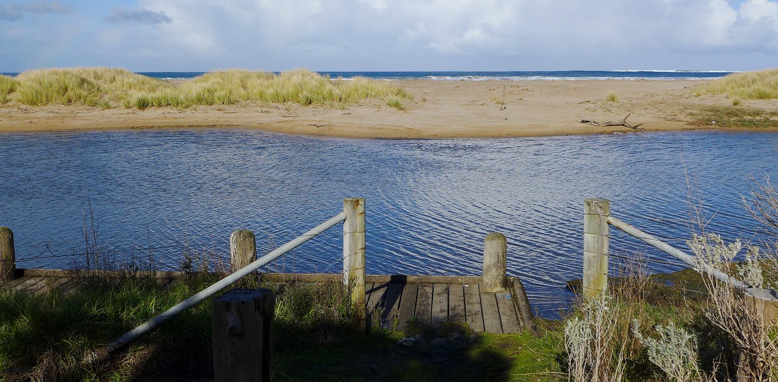
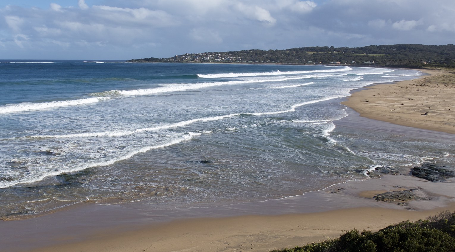
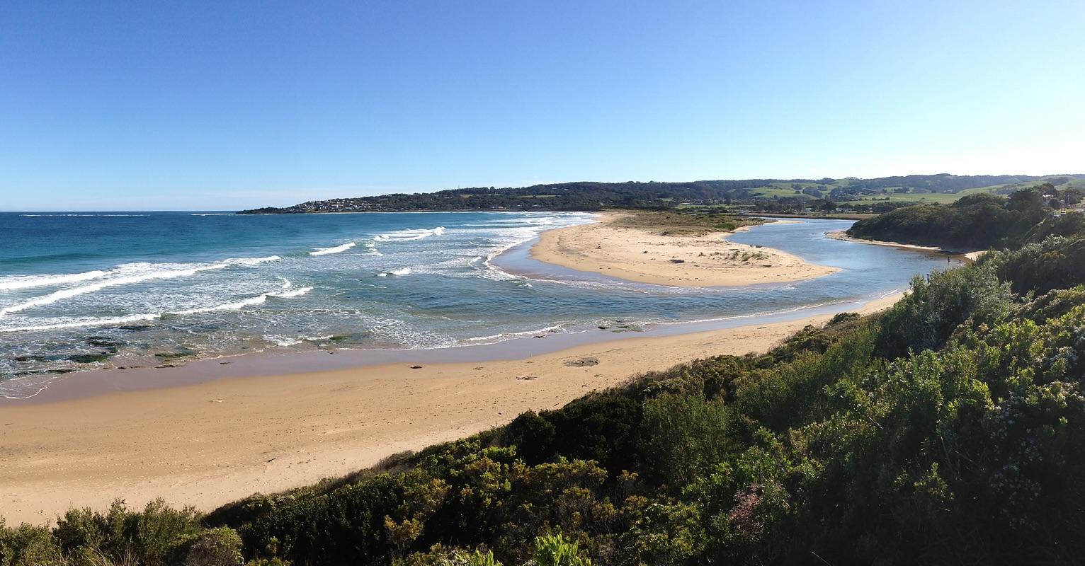
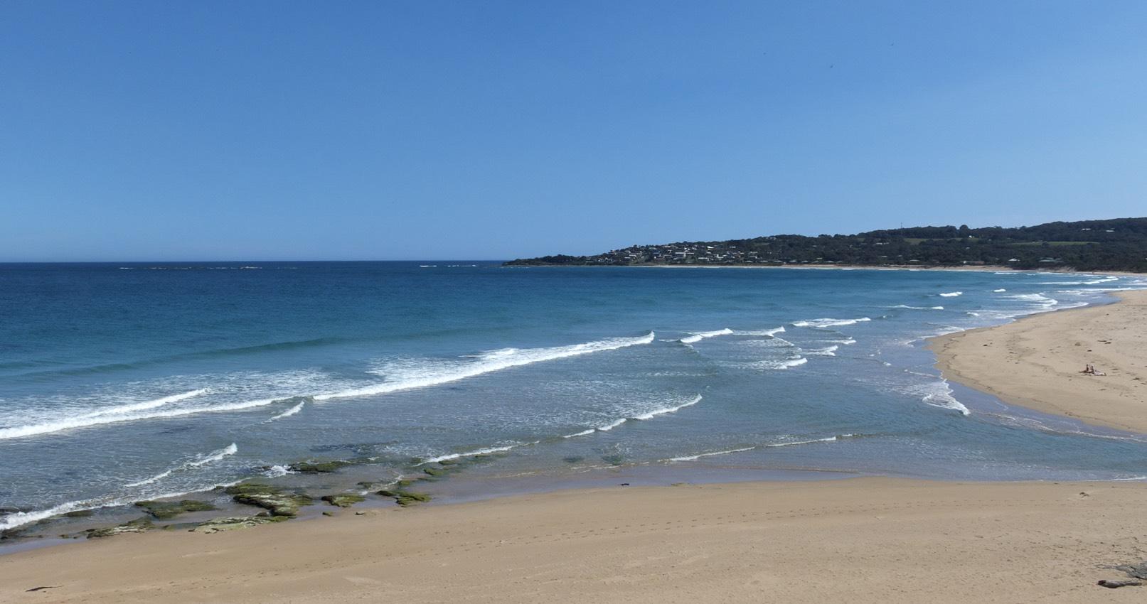
Active Mouth Condition 23-05-2008 - 19-04-2024Barham River Estuary
| ID | Date | Status | Details | |
|---|---|---|---|---|
| #10813 | 16 Feb 2017 | Approved |
Notes:
Rainfall last 48 hours 0 mm; Atmospheric Pressure 1012.1hPa. River level higher than expected. Open mouth was wide and shallow. There would be an exposed sand bar at low tide. New vegetation growth 30 metres upstream of river mouth. Large flocks of gulls and terns resting on berm edge upstream of river mouth. |
|
| #10911 | 16 Mar 2017 | Approved |
Notes:
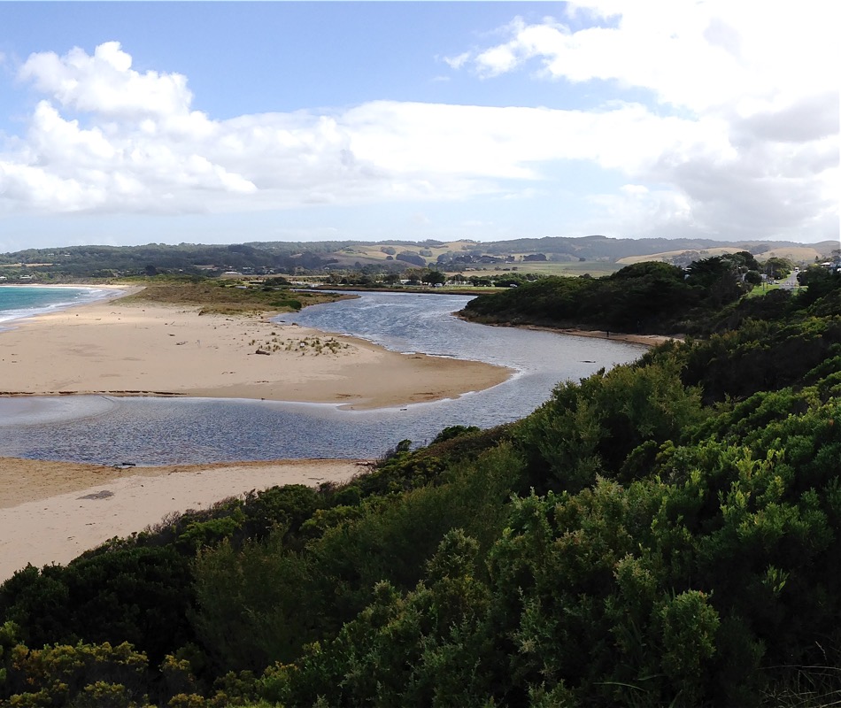
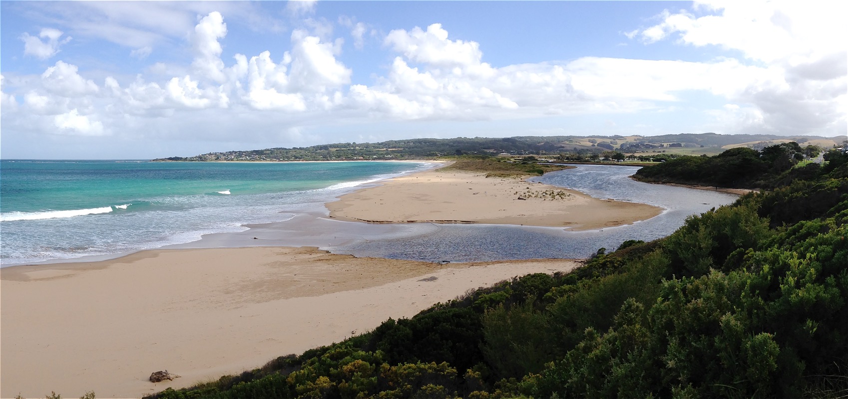
Rainfall past 48 hr = 1.4 mm; Atmos. Press = 1009.5 hPa. Otherwise closed, the mouth opens at peak high tides with small waves moving over the sand bar for a short distance upstream. No outward flow observed. Estuary is wide and relatively high due to the mouth closure when tide is not at peak. |
|
| #11094 | 20 Apr 2017 | Approved |
Notes:
Rainfall past 48 hrs = 4.2 mm; Atmos. pressure = 1024.5 hPa. Rain overnight has raised river level. Completely still atmosphere, overcast, grey, & smokey due to ongoing forestry controlled burn at Gellibrand. |
|
| #11213 | 26 May 2017 | Approved |
Notes:
Rainfall past 48 hrs = 2.6 mm; Atmos. press - 1022.2 hPa. High tide 11:45 Very still atmosphere. A stretch of mechanically-dumped sand was observed, placed to consolidate the beach of Mounts Bay in the vicinity of Marengo. The condition of the car park at the bridge opposite the campground is in poor condition. Added to previous debris-dumps from the campground, there now exists a large mulch pile to further restrict parking and public access. |
|
| #11298 | 1 Jul 2017 | Approved |
Notes:
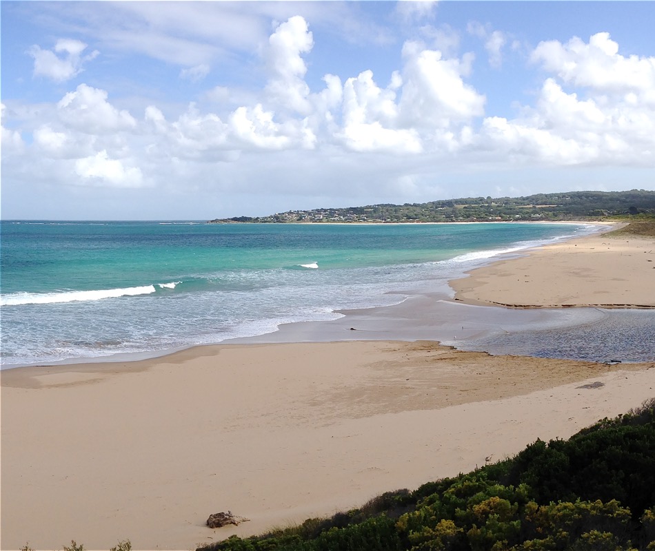
Rain past 48 hrs = 11.6 mm; rain past week > 20 mm. Air press. = 1029.4 hPa. Rain during past week has raised river level above normal. Strong outward flow at mouth. |
|
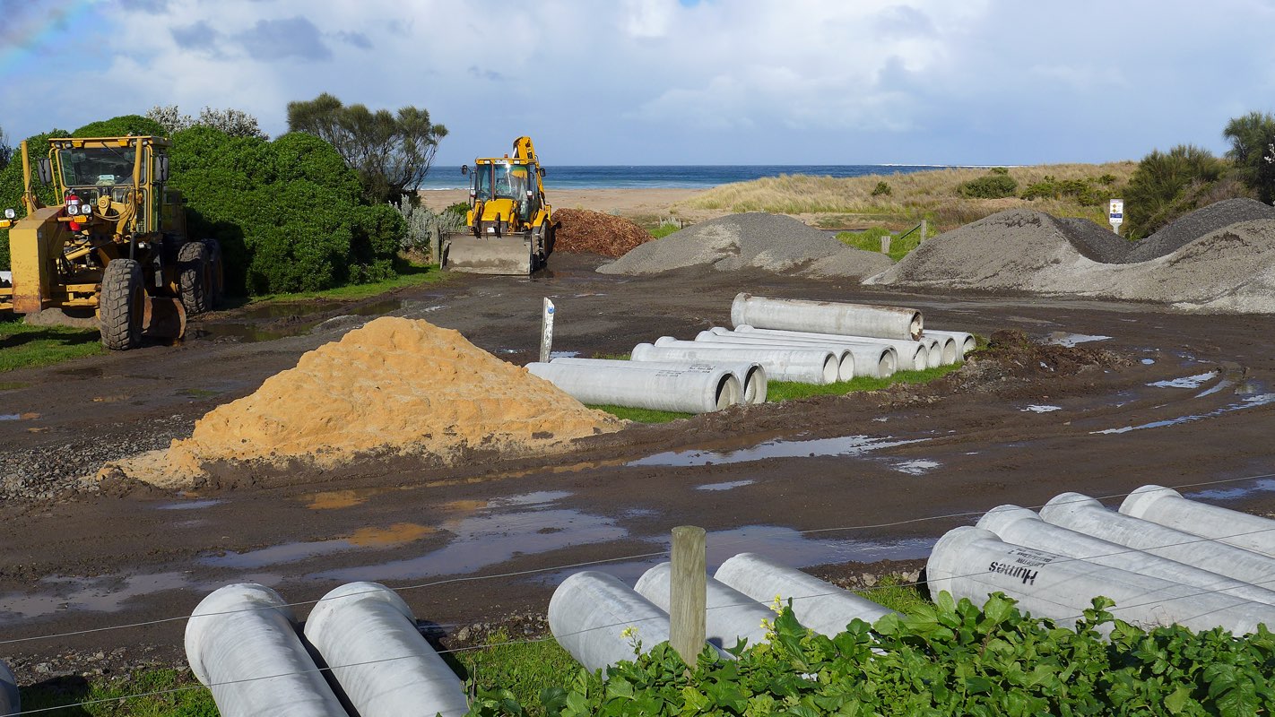
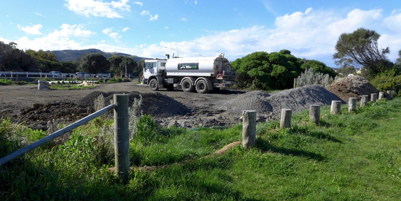
| #11365 | 30 Jul 2017 | Approved |
Notes:
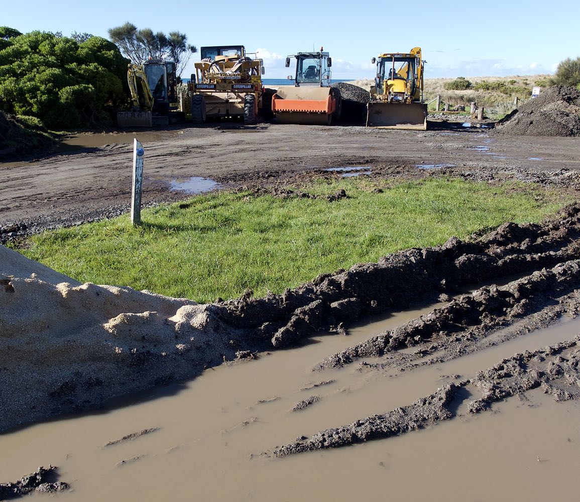
Rainfall past 48 hrs = 1 mm; Atmospheric pressure = 1008.6 hPa Heavy winds previous day; large ocean swells. Carpark at bridge observation point BmP2 is being intensively used for the storage of excavator plant machinery and gravel for ongoing drainage and sewage works. It appears that this work will continue for some months. See added photo attached. |
|
| #11397 | 20 Aug 2017 | Approved |
Notes:
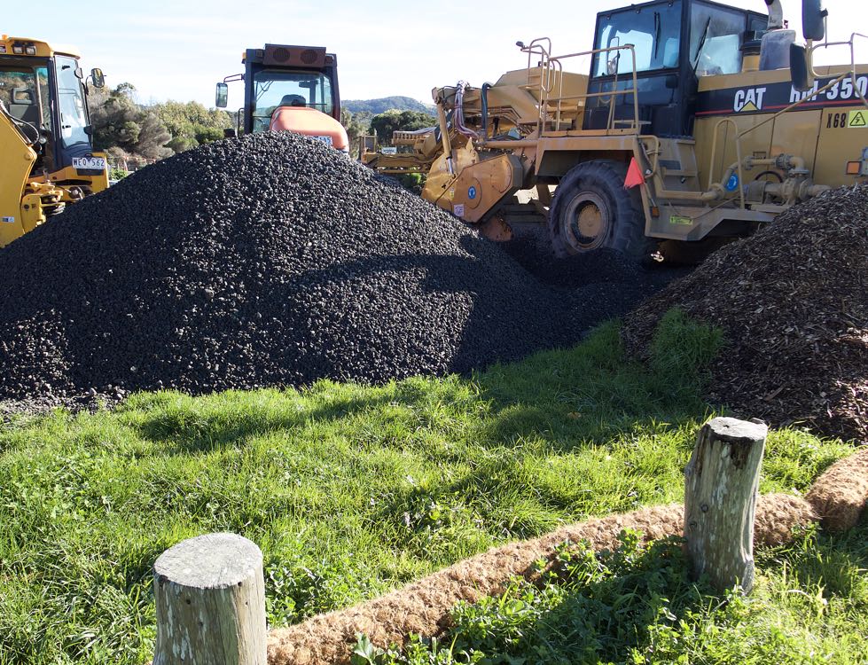
4.0 mm rain during past 48 hrs; Atm. press = 1026 hPa. Carpark at bridge continues to be used as base for ongoing drain and roadworks. Rolls of coir matting have been laid around the area to restrict run-off into the estuary. (See pix.) Due to heavy rain in catchment over the past week, river mouth is wide with consistent outflow. |
|
| #11478 | 27 Sep 2017 | Approved |
Notes:
Rain during past 48 hrs = 0.4 mm; atm press = 1004.6 hPa Car park at Barham bridge closed to traffic owing to use by roadwork plants and for storage of roadwork materials. Significant roadworks still in progress. |
|
| #11553 | 27 Oct 2017 | Approved |
Notes:
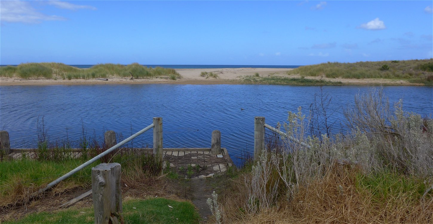
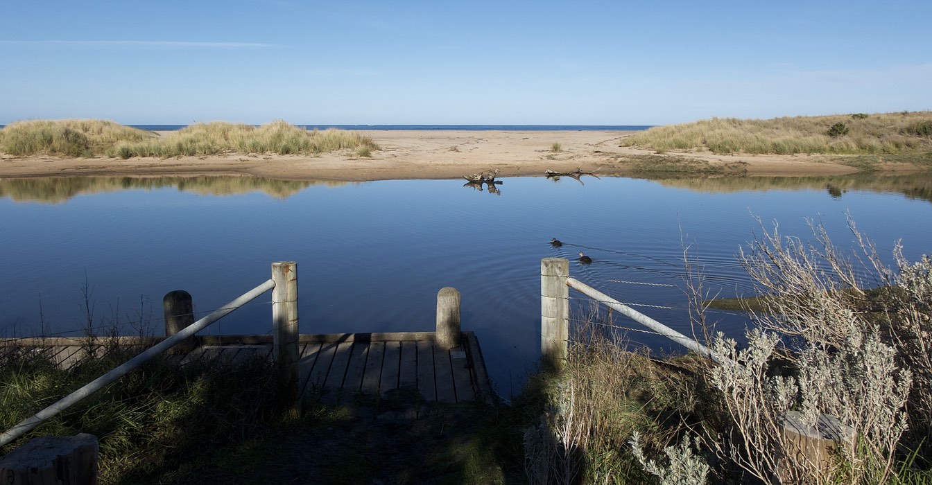
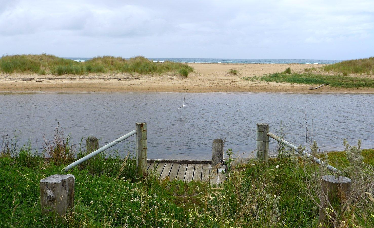
Rain past 48 hrs = 0; Atm. press. = 1008.9 hPa. Water level not readable on gauge due to mud bank deposits. Judged to be < 0.5 m. At finish of observations the level was still below 0.5 m, but was estimated to have risen by 1-2 cm. Observed wetting of sandbanks near the photopoint, presumed to be due to the previous high tide, supports the existence of tidal influence. Access to monitoring point BmP2 is considerably impeded by untended vegetation growth and by stockpiles for ongoing road construction. New season's growth also hinders access along the foot track leading to BmP3. |
|
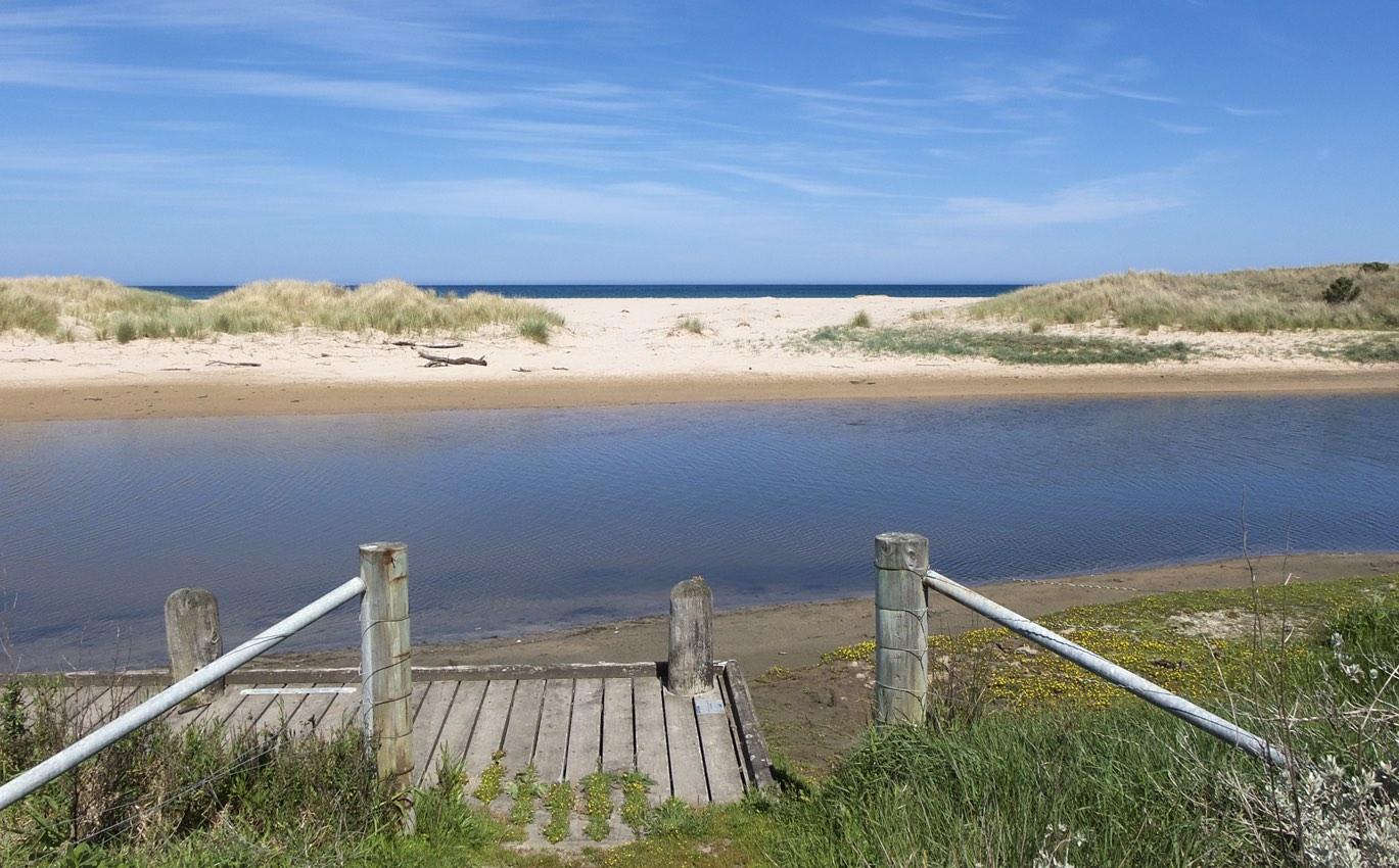
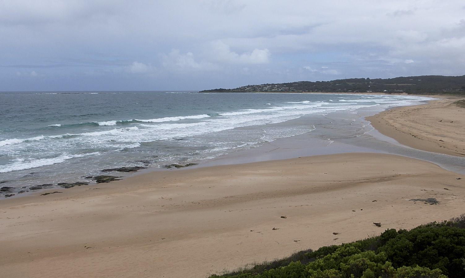
| #11628 | 5 Dec 2017 | Approved |
Notes:
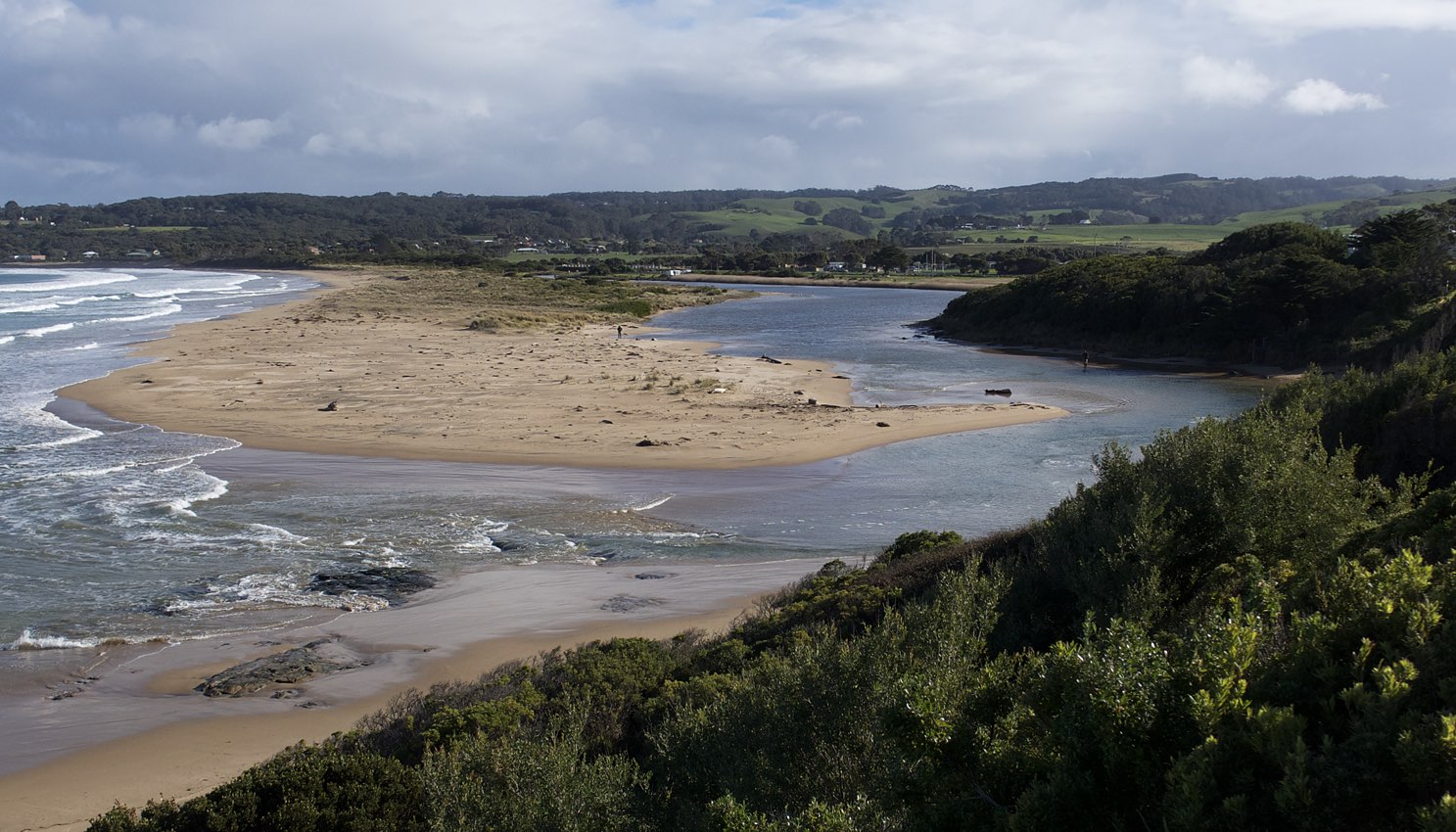
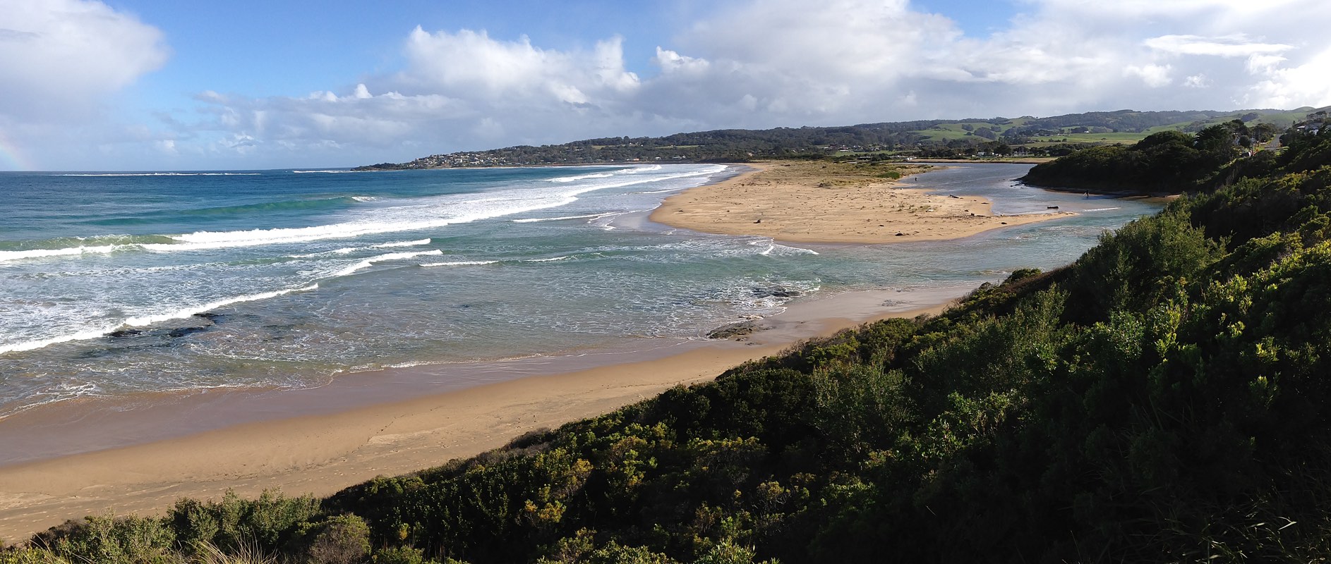
Rainfall past 48 hrs < 1 mm; Atmospheric pressure = 1015 hPa. Location and shape of mouth has altered considerably since last monitoring visit. |
|


All content, files, data and images provided by the EstuaryWatch Data Portal and Gallery are subject to a Creative Commons Attribution License
Content is made available to be used in any way, and should always attribute EstuaryWatch and www.estuarywatch.org.au