EstuaryWatch Data Portal
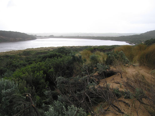
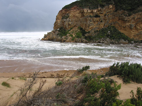
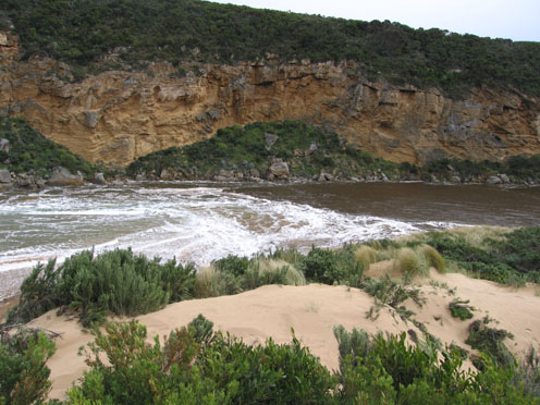
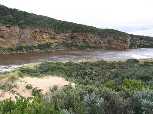
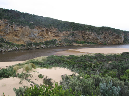
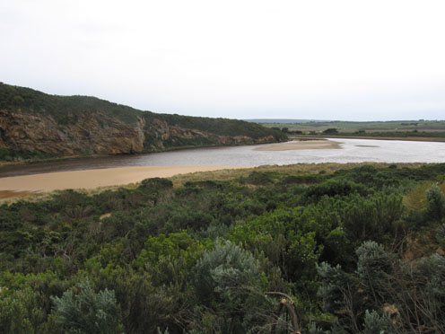
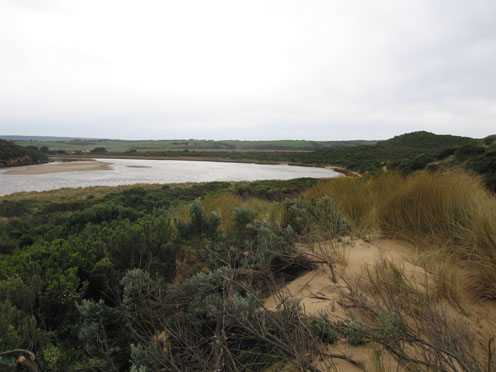
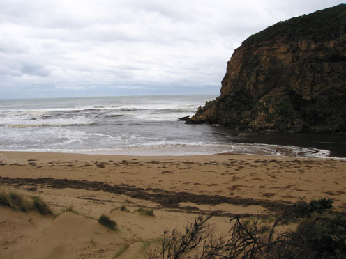
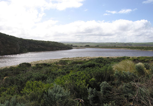
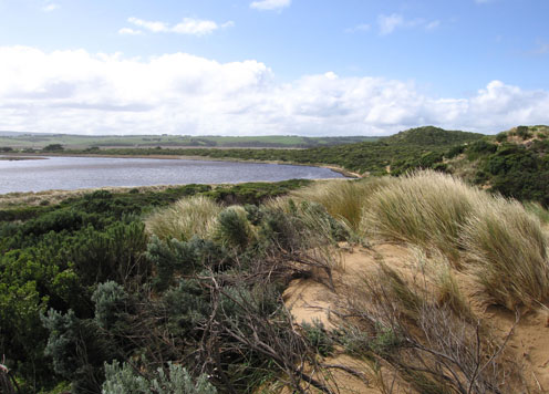
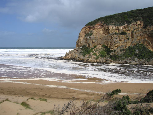
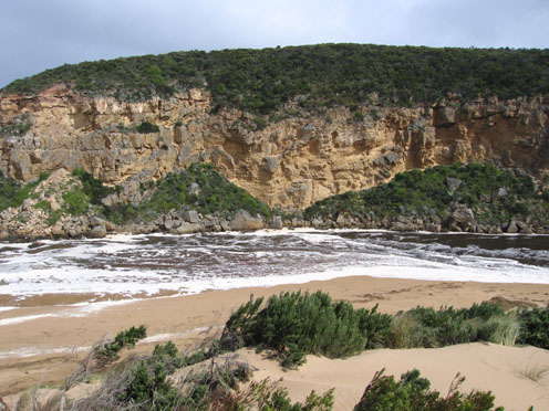
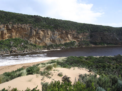
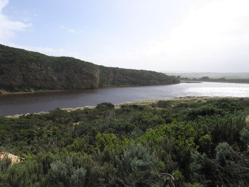
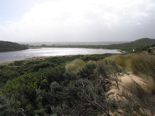
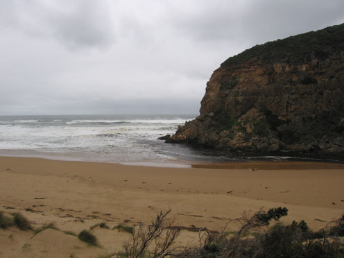
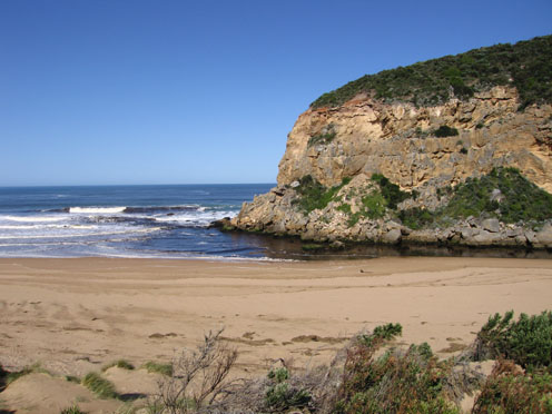
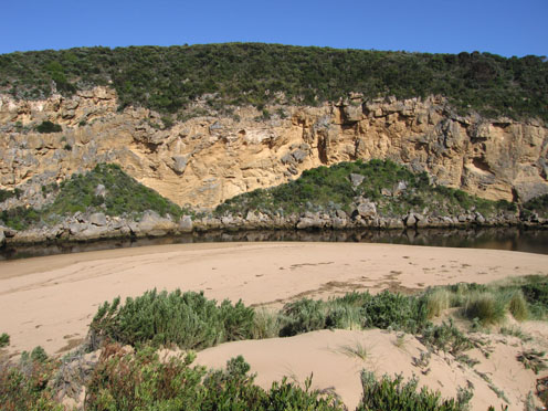
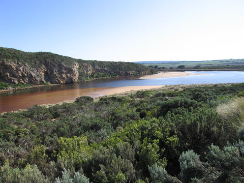
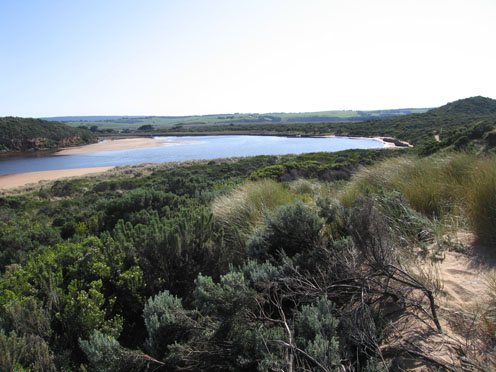
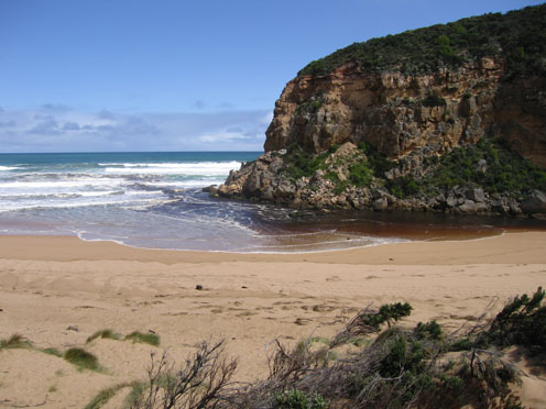
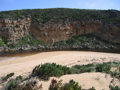
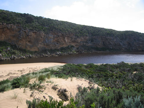
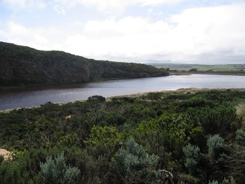
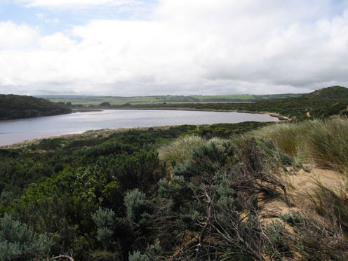
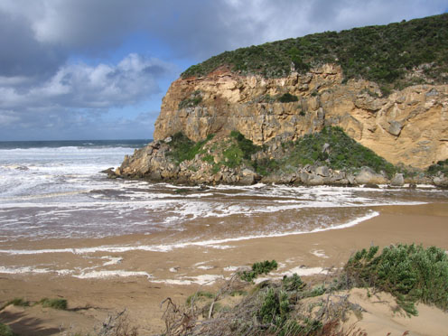
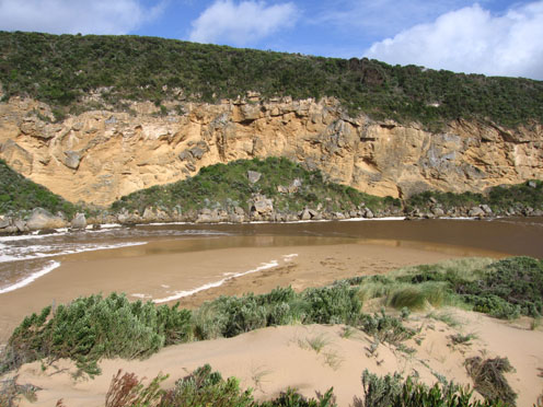
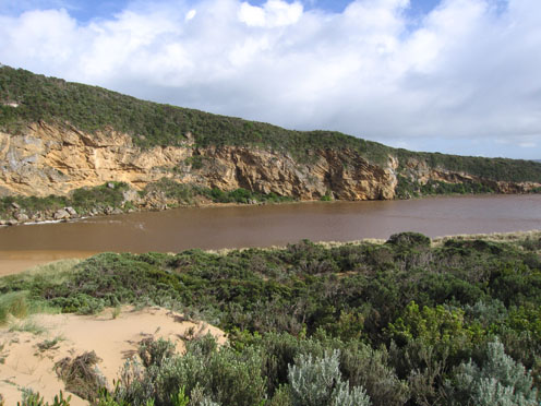
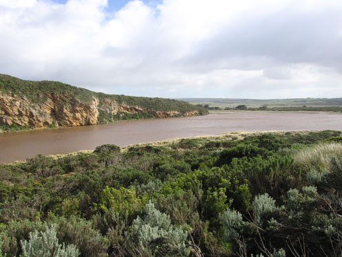
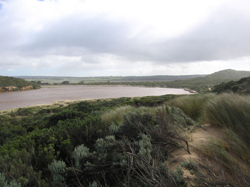
GMC Gellibrand River Estuary Mouth Observation Site
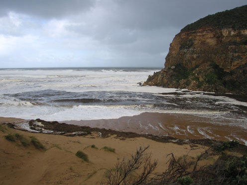
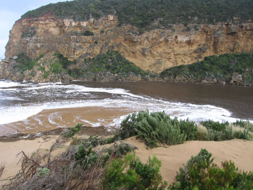
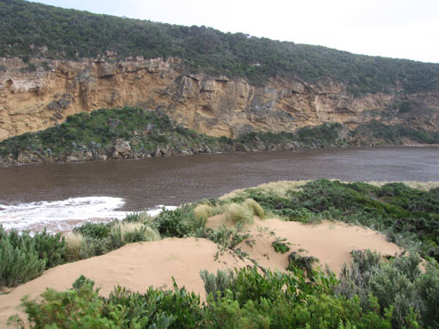
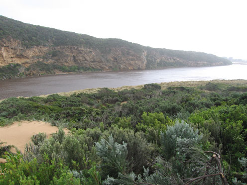
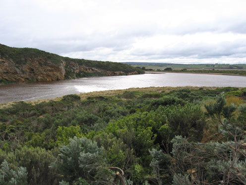
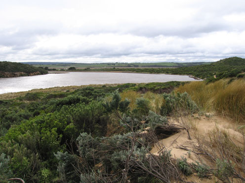
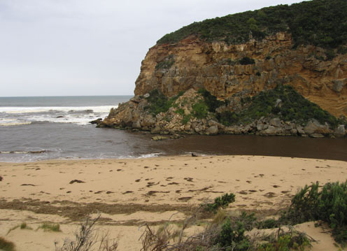
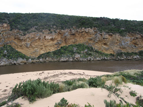
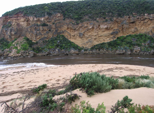
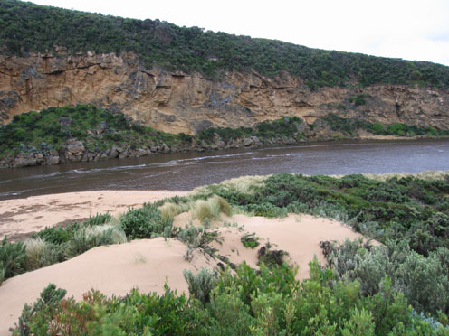
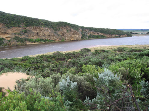
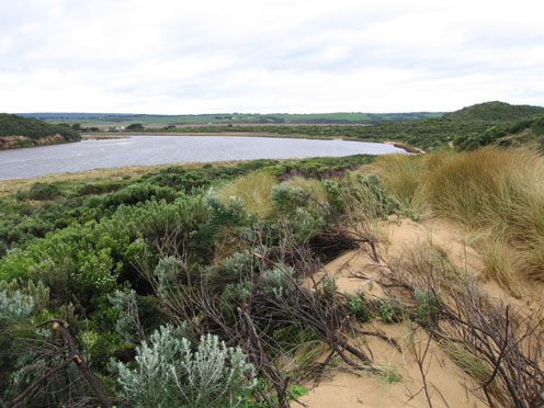
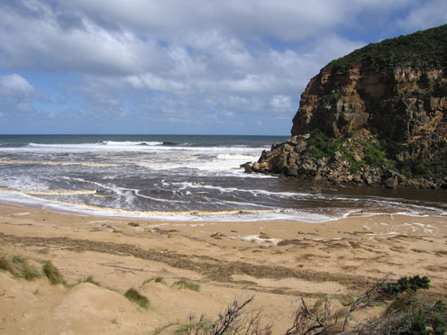
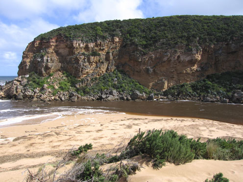
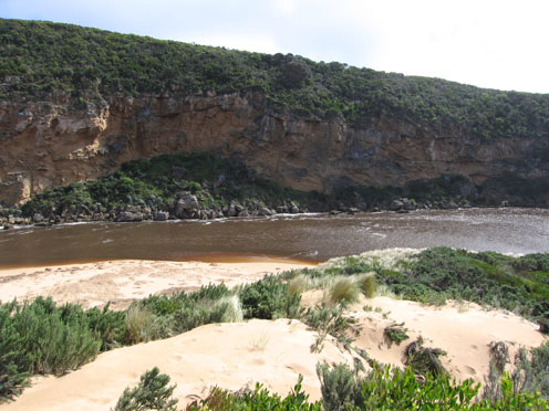
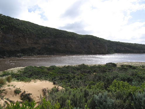
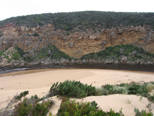
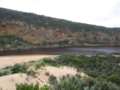
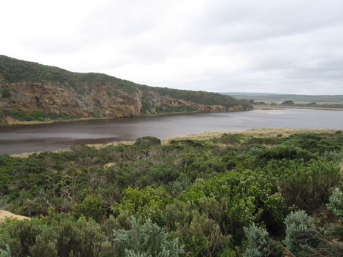
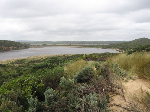
Active Mouth Condition 20-04-2007 - 19-04-2024Gellibrand River Estuary
770 results found (Displaying 191 - 200)
| ID | Date | Status | Details | |
|---|---|---|---|---|
| #4223 | 20 Aug 2010 | Approved |
Notes:
1.Flow is out but some waves up to 1m.high are entering the estuary & travelling toward camping ground and also around to the east side of the estruary. Water is very dark brown & sand can be seen in waves at least to 100m. out to sea 2.More sand has been cut away from dunes & waves are up to the base of dunes on ocean beach 3. Sand is building up again at mouth - only 2 poles visiable. Longshore drift bringing more sand & phragmities back into estuary. 4. Large waves are mainly travelling diagonally across mouth but going in all directions, large build up of foam all along beach and mouth. 5.Wind is also travelling in all directions, 'curtains' of spray circling up to 30m high in estuary 6.Wedge tailed eagles(2) over wetlands 7.over 150 kangaroos sheltering near camping ground 8.Upstream flooded but OOR clear 9.Rainfall 12.08.10 to 19.08.10 = 115ml at G6. |
|
| #4261 | 25 Aug 2010 | Approved |
Notes:
1.Flow both in and out. NW wind bringing waves from estuary to mouth meeting waves from high seas. The ocean waves are reaching the base of the sand dunes on the ocean beach & up to 1/4 of the height of the western rock face at the point 2.Water is travelling back along beach back to mouth and around dunes on east side of the channel to the east side of the estuary. High sand ' cliffs' have been formed (about 8 m high) which are continually collapsing back into the fast flowing water. 3. Large whirlpools and currents occuring around mouth and up channel 4.Large mass of Phragmities is floating near entrance 5.Large build up of sand is forming at mouth - from dunes to rocks but is mostly covered by waves. |
|
| #4323 | 31 Aug 2010 | Approved |
Notes:
1. Very strong but reduced out flow. Dark discharge around mouth and both to east along beach and also to west 2. Fast flow has caused steep bank to 1.5m along east side of channel upstream of rocks 3. Sand has reappeared about 20m from tunnel. Sand bars in middle of estuary have changed shape and position 4.The whole s/e side of the estuary has been modified with sheer sides to dunes reaching up to 2-4m high 5. Large mass of Phragmities and rubbish around mouth and dark 'scum' up to base of dunes along ocean beach 6.Birds Silver gulls 8 - feeding at mouth, Hawks/ Harriers 6 - over wetlands 7.Valley still flooded |
|
| #4342 | 4 Sep 2010 | Approved |
Notes:
1.Strong outflow with dark discharge around mouth to east along beach and also to west. 2.Some waves entering the estuary travelling down the channel and swinging east Waves are going both upstream and downstream at that point 3.Waves are in all directions at mouth and around rocks where the channel bank is reducing. 4.Larger area of beach is exposed to east and directly around mouth. 5.The east &south sides of the estuary are being impacted by wave surge. Channels forming on south side near reeds 6.Part of the cliff face has crumbled near the point but no large rocks. 7.Dead Marsh frog in front of dunes on ocean beach 8.One lone Silver Gull on beach |
|
| #4421 | 10 Sep 2010 | Approved |
Notes:
1.Strong out flow, dark discharge to both east & west 2.Waves in all directions at mouth, some travelling along the channel and swinging east into the estuary where they are impacting on the side of the dunes (increaced height) and east side of estuary. The end of the high track from the ocean carpark now has a drop of about 2.5m into deep water. |
|
| #4481 | 17 Sep 2010 | Approved |
Notes:
1.Strong dark outflow, waves entering estuary & swinging to east as well as travelling north. Waves in all directions at mouth. Much foam in channel and along beach 2.Foam & dark sludge on ocean beach close to base of dunes. Waves high up on beach 3. Sand is building up south of rocks and east side of channel 4. More erosion to dunes east side of channel and east side of estuary 5.Birds Harrier 1, Letterwinged Kite 1. |
|
| #4501 | 24 Sep 2010 | Approved |
Notes:
1. Dark & sandy discharge around mouth, to sw & w 2.Channel reduced in width, flowing against west cliff. Flowing both sides of rocks 2.Larger area of ocean beach exposed, black sand in areas mid beach. Lots of rubbish all along beach 3.Water continuing to erode east side of channel (sand dunes). Also east & south sides of estuary Channels & sand build up are occuring on east side of estuary 4.Several small rocks have fallen from cliff face above entrance to tunnel 5.On 22/09/10 1 dead penguin was found on ocean beach - east end and another was rescued from the next beach and taken to Parks |
|
| #4522 | 2 Oct 2010 | Approved |
Notes:
1. Outflow reduced, dark discharge only around mouth Lighter discoloured water & foam to about 70m out to sea 2. Water on both sides of rocks but sand returning. More sand opposite tunnel 3. new pattern to sand bars in estuary with a small channel running close to cliffs along to end of rockface opposite camping ground 4.Not many Caddis lava left in area opposite tunnel 5.White faced Heron at mouth again |
|
| #4543 | 9 Oct 2010 | Approved |
Notes:
1. Flow both in & out, dark discharge only around mouth and to east 2. Whirlpool around rocks at mouth, longshore drift bringing more sand back to mouth & channel 3.Sea has carved out high steep banks of sand at east end of beach 4.Increasing erosion of sand dunes and east side of estuary. 5.Water in estuary is very reddish brown in colour, pollen can be seen floating on surface in some areas 6.Senecio elegans in flower -area reduced because of erosion |
|
| #4584 | 16 Oct 2010 | Approved |
Notes:
1.Strong outflow, waves in all directions at mouth, foam & waves up to base of dunes. East end of beach has been scoured out -sheer sand cliffs at least 3m high. Waves entering estuary - up to 30cm impacting on east side 2. Water level has risen due to recent heavy rain. considerable turbidity (150 at G2) 3. Recent storms have re shaped the formation of the dunes. Higher in some areas, also much covered vegetation 4.large increase of sand east of channel between rocks & tunnel 5. Water level of channel is higher directly upstream of rocks 6.Nine dead & dying Shearwaters. 5 around mouth + 4 more further to east along beach 7.Senecio elegans in flower,occuring in new areas along tracks and rock face west of the channel. Serious trampling is occuring in the dunes because the tracks no longer exist. This will increase spread of Senecio and Euphorbia as well as destroying important indigenous vegetation 8.Many fox prints |
|


All content, files, data and images provided by the EstuaryWatch Data Portal and Gallery are subject to a Creative Commons Attribution License
Content is made available to be used in any way, and should always attribute EstuaryWatch and www.estuarywatch.org.au