EstuaryWatch Data Portal
PMC Painkalac Creek Observation Site
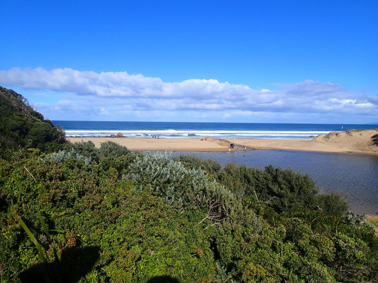
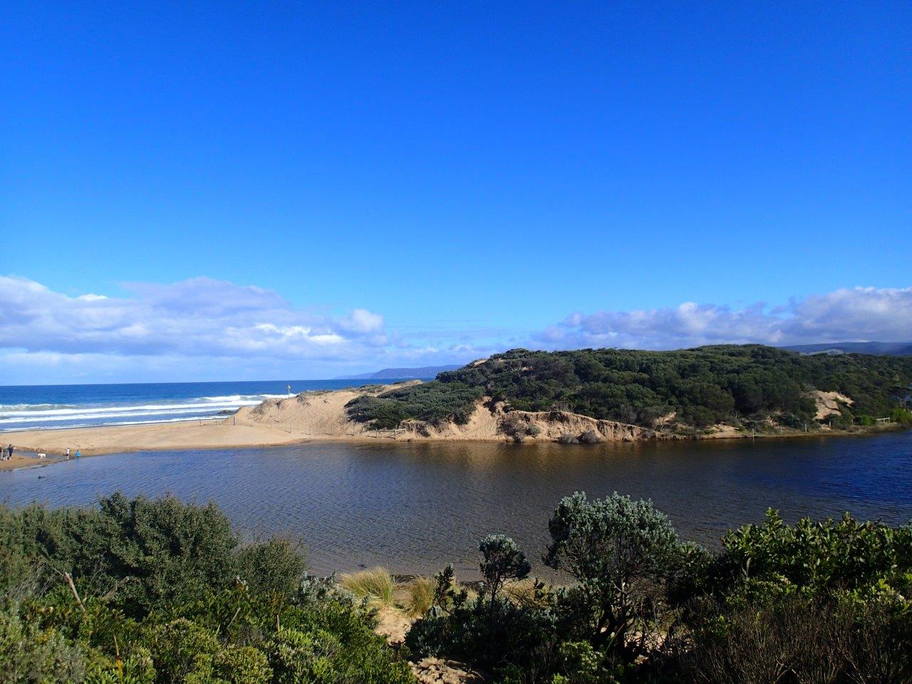
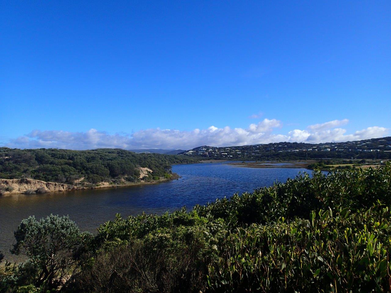
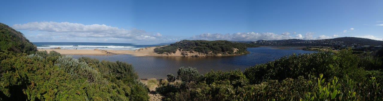
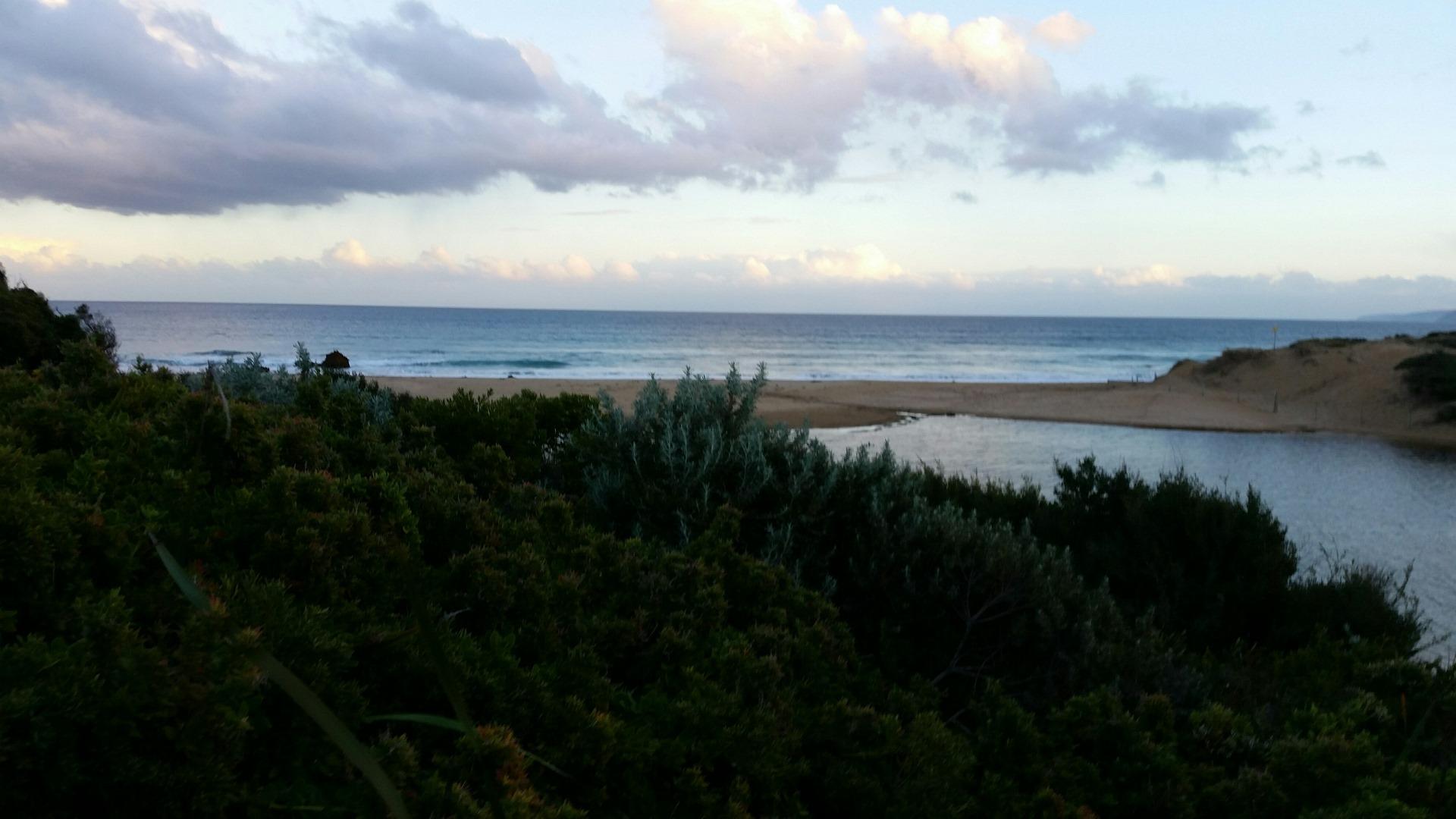
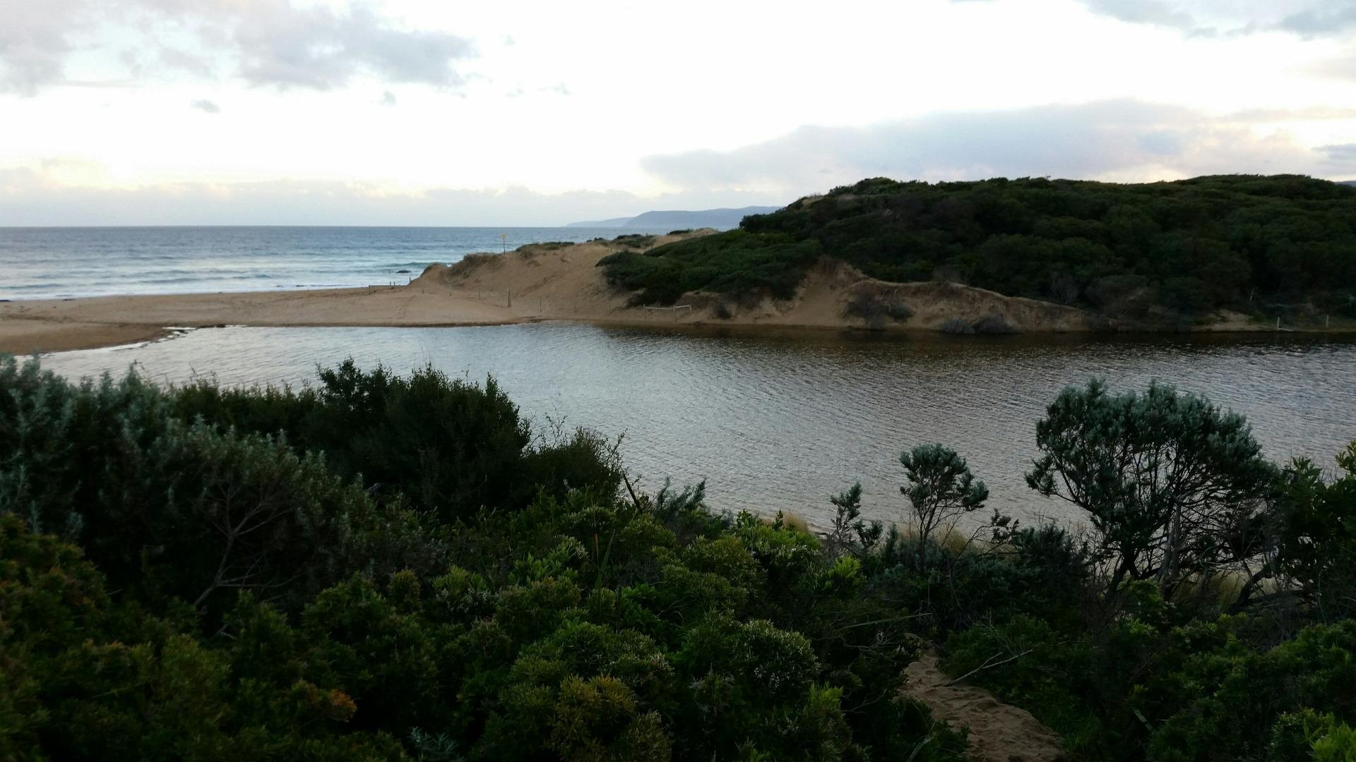
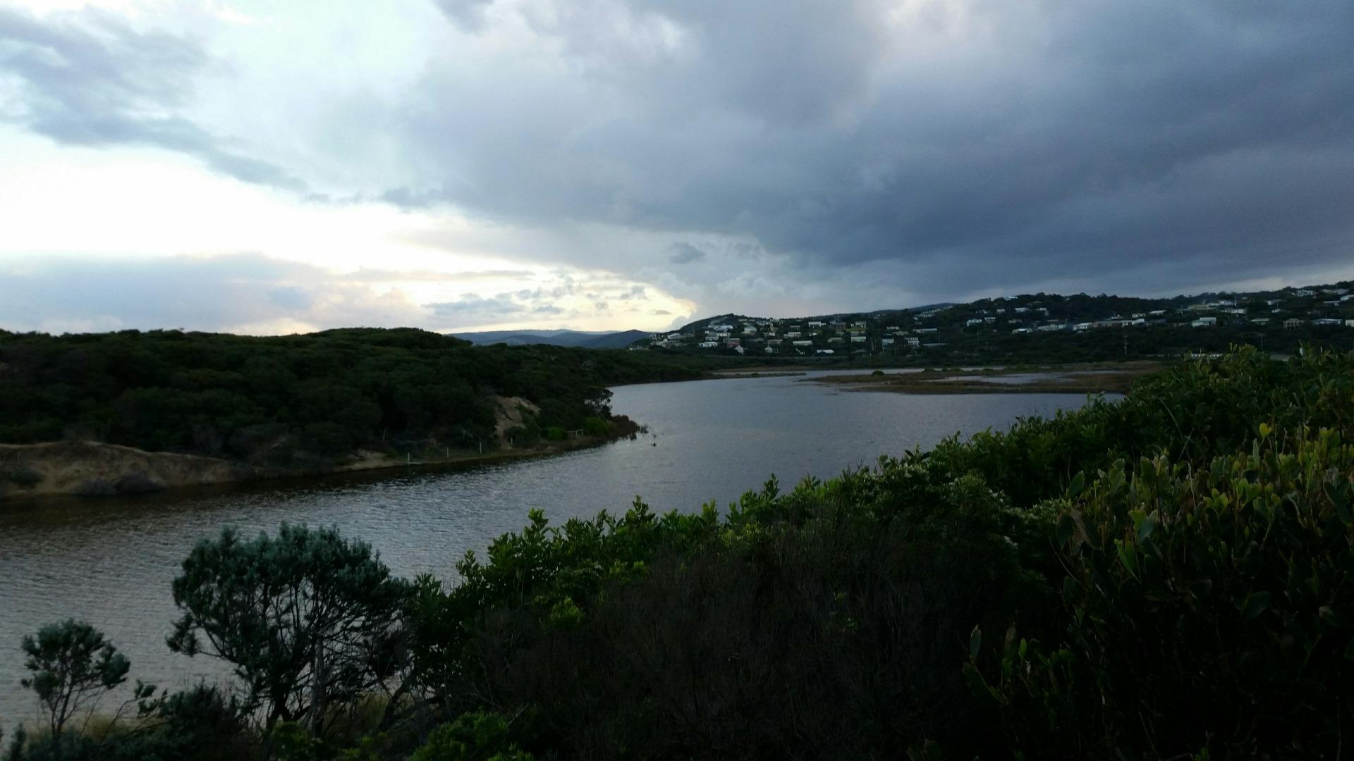
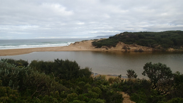
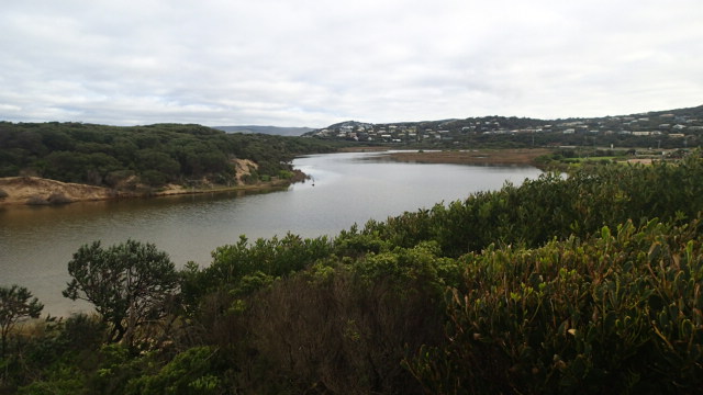
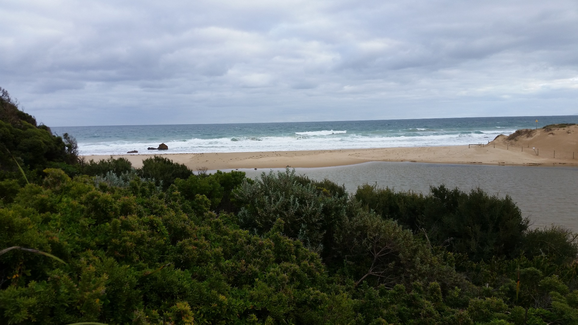
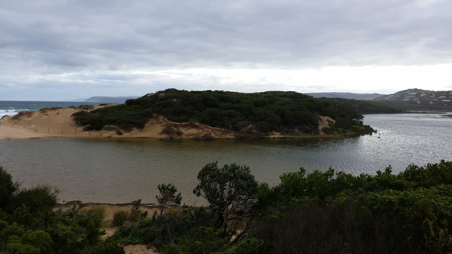
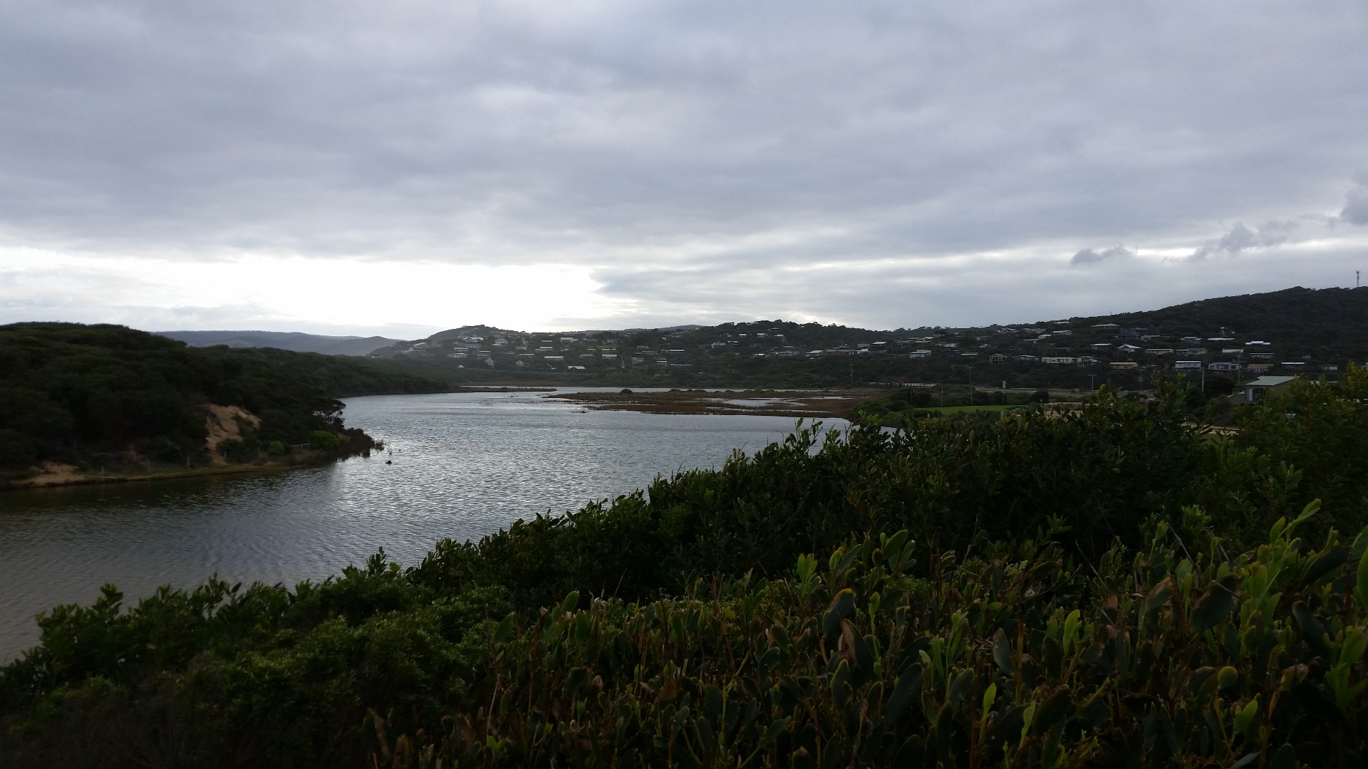
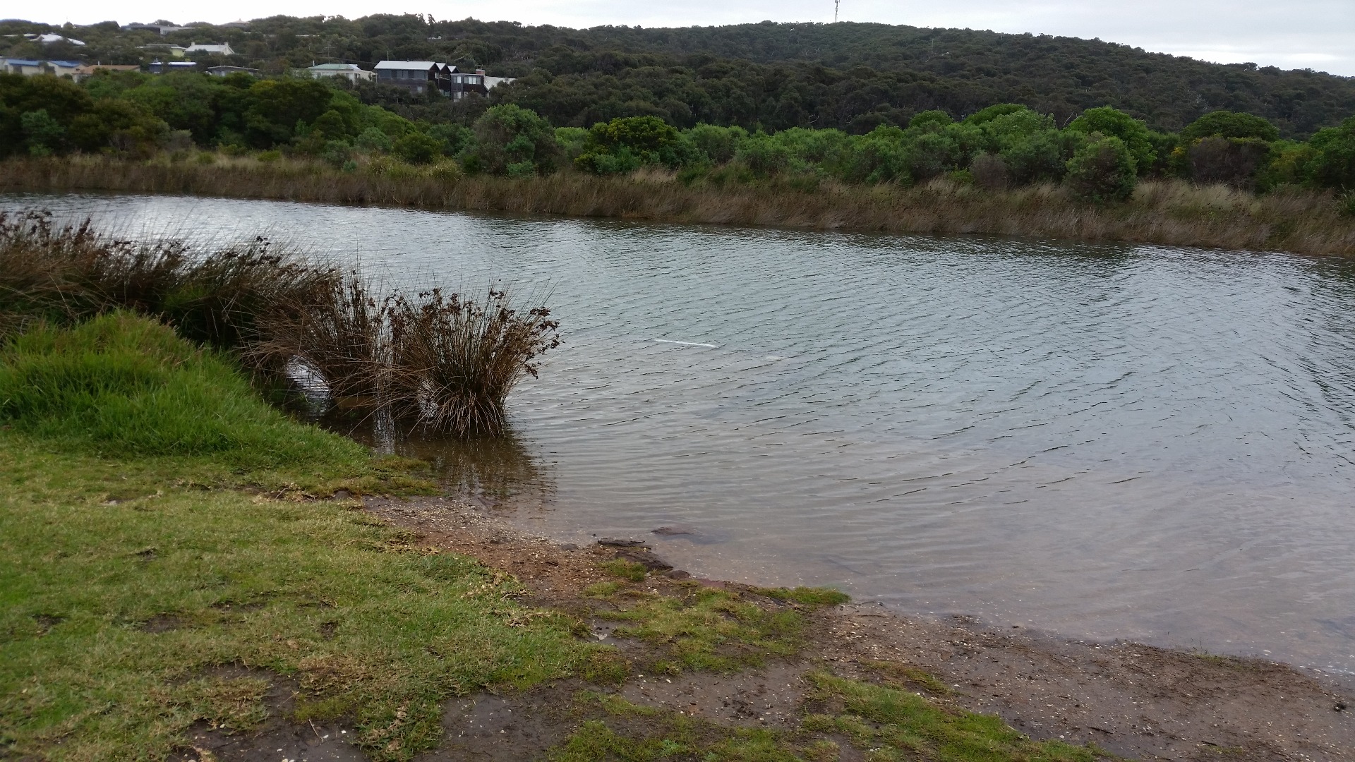
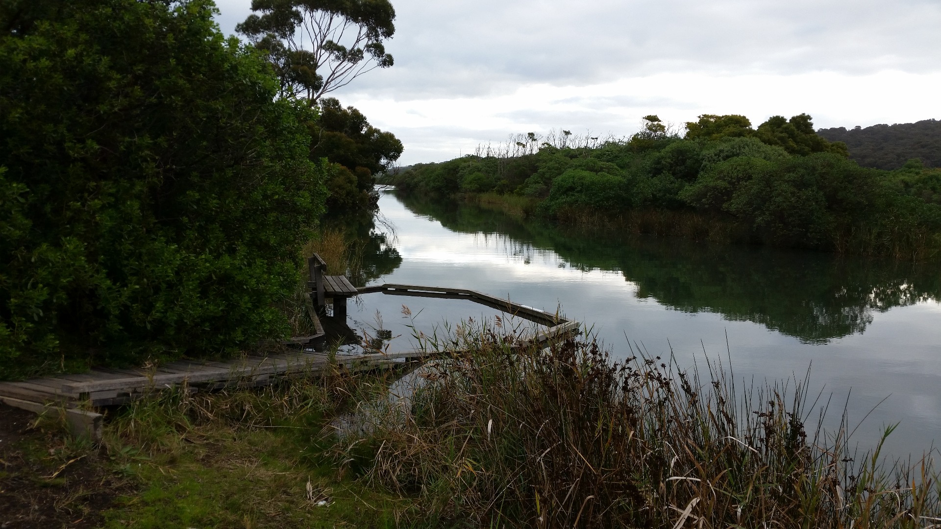
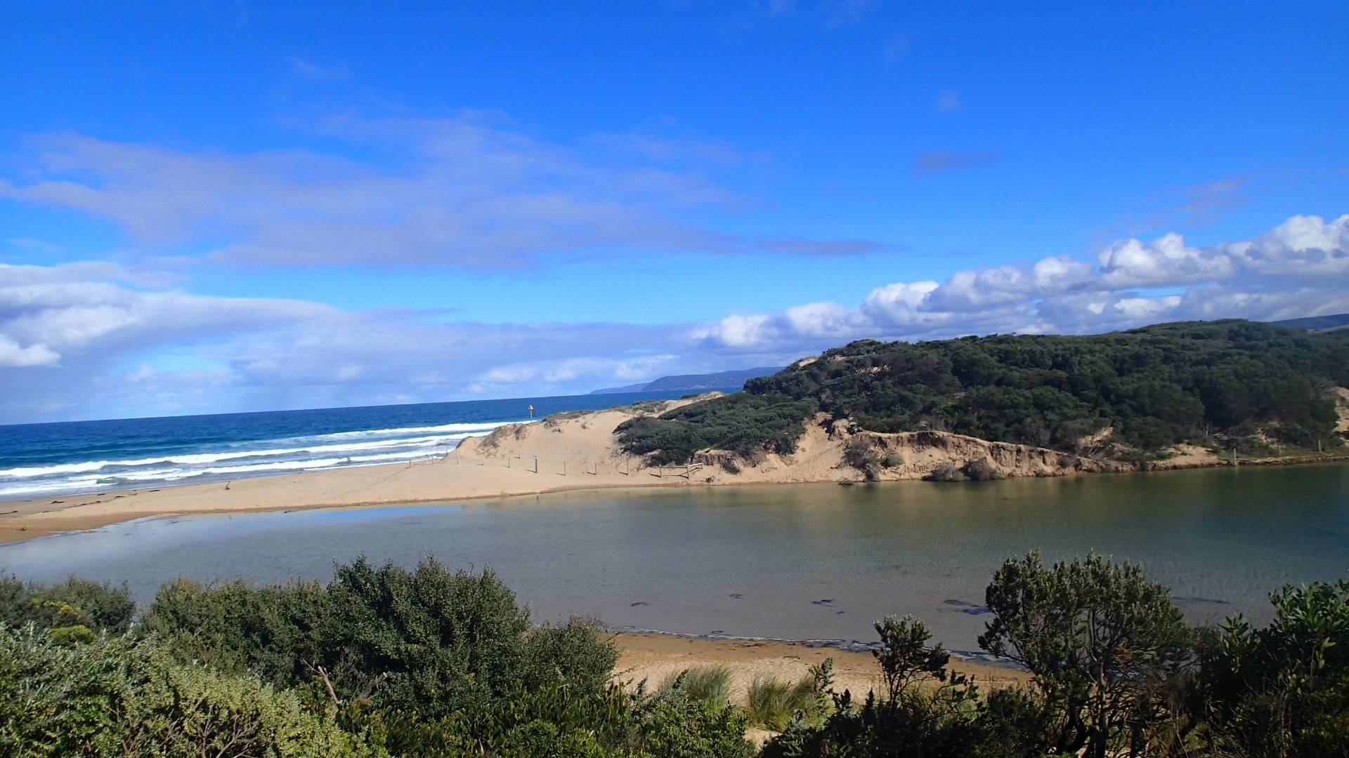
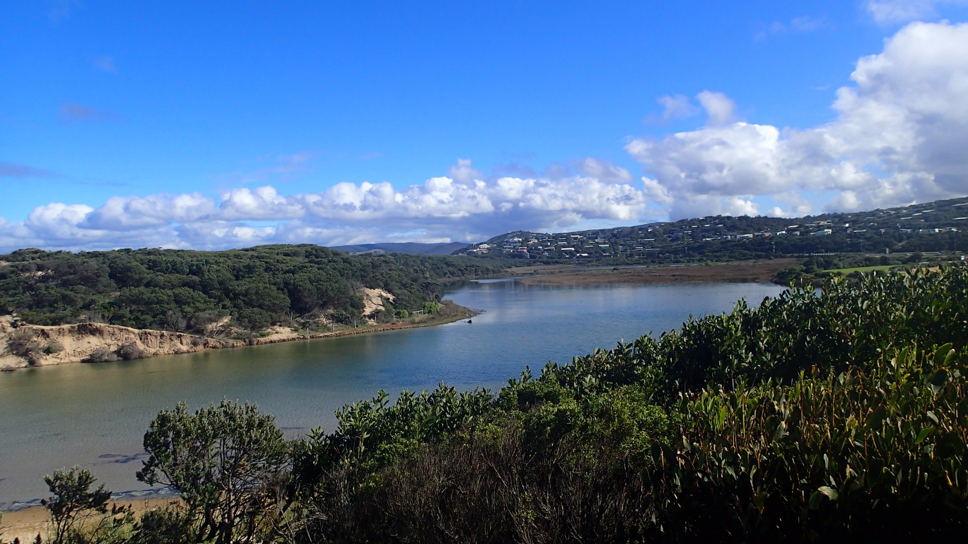
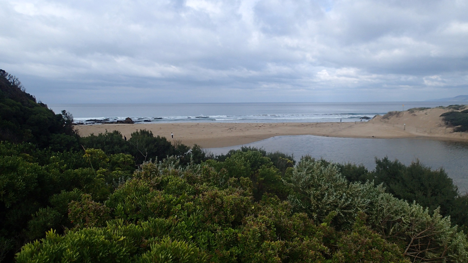
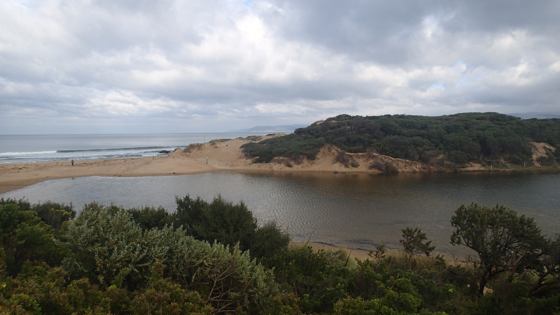
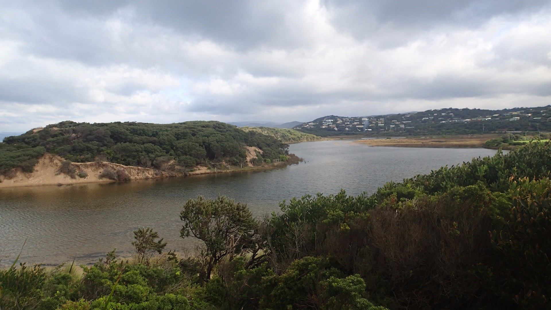
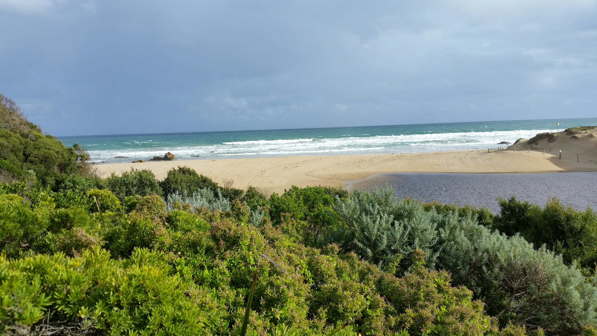
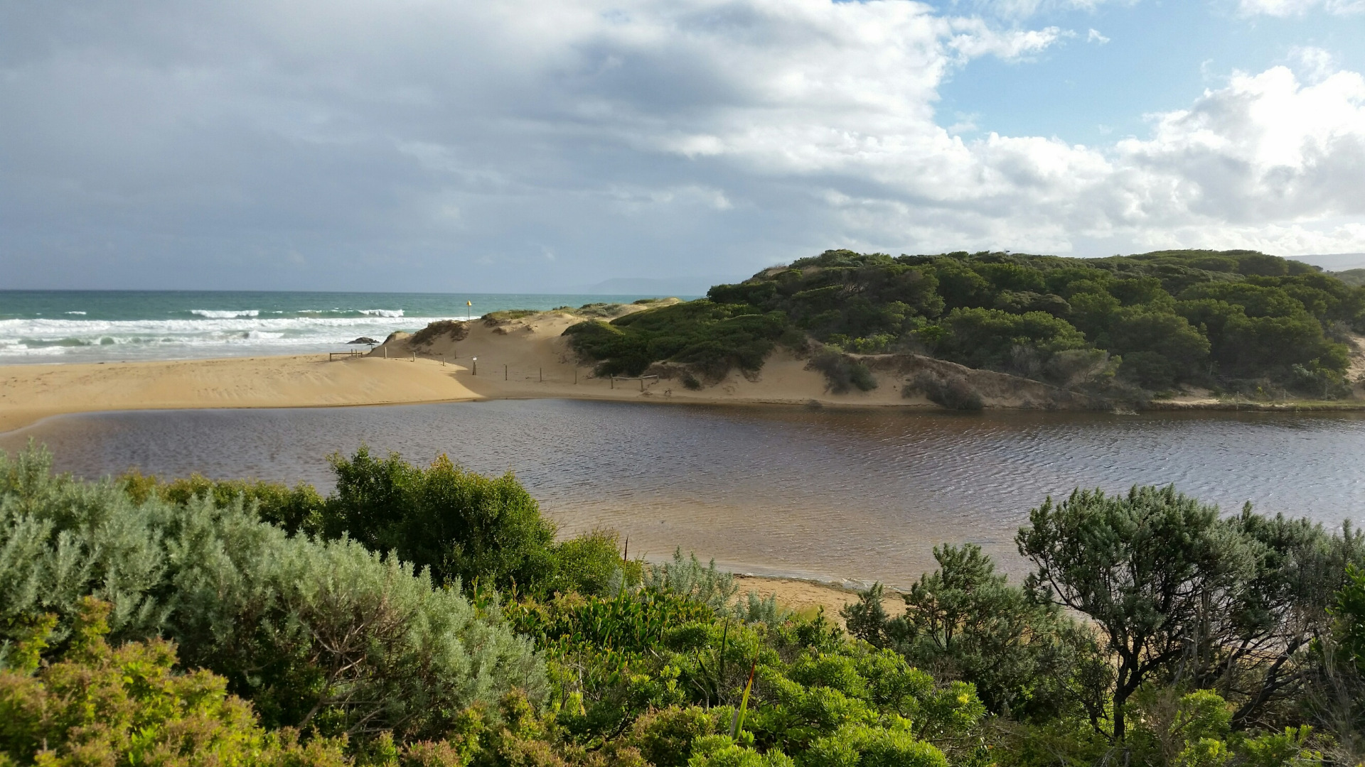
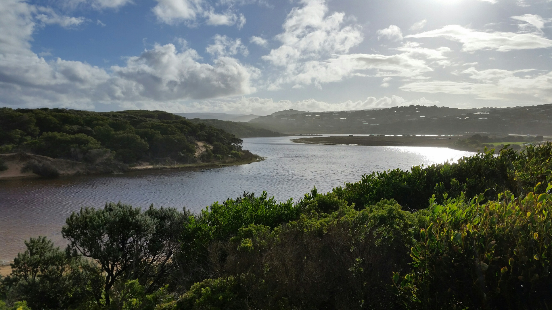
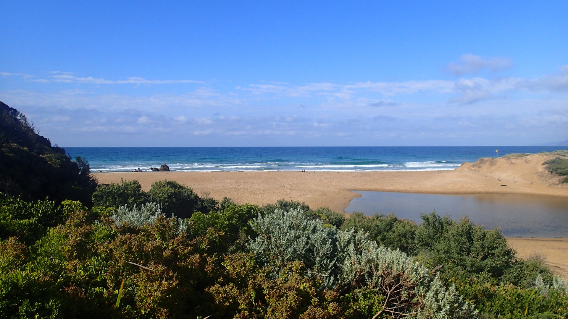
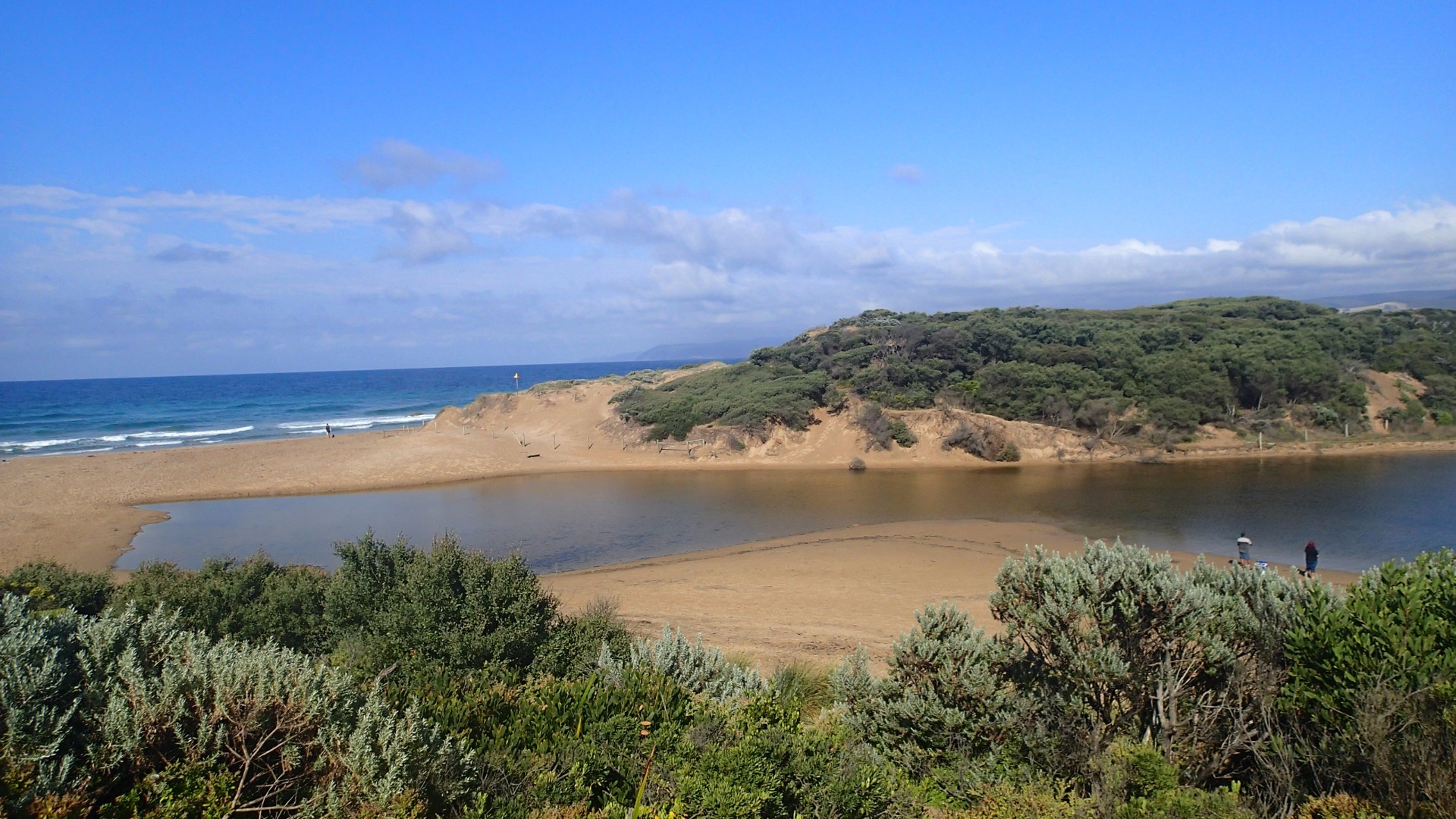
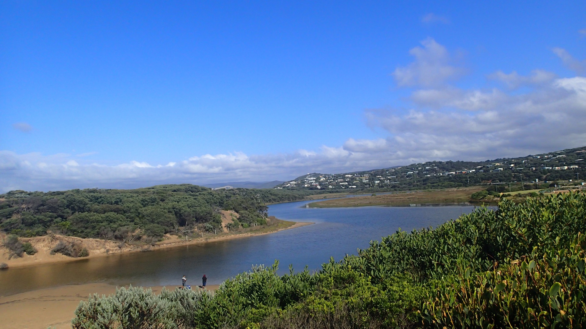
Active Mouth Condition 23-05-2007 - 11-05-2024Painkalac Creek Estuary
274 results found (Displaying 71 - 80)
| ID | Date | Status | Details | |
|---|---|---|---|---|
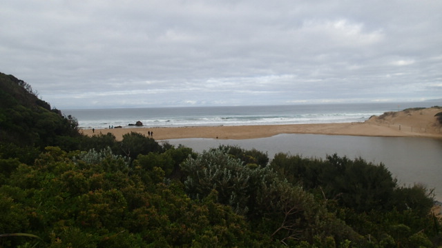
| #11344 | 15 Jul 2017 | Approved |
Notes:
No berm measurement taken as estuary had been artificially opened. |
|
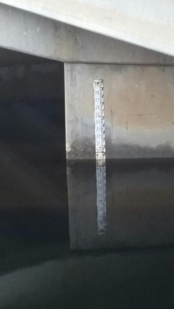
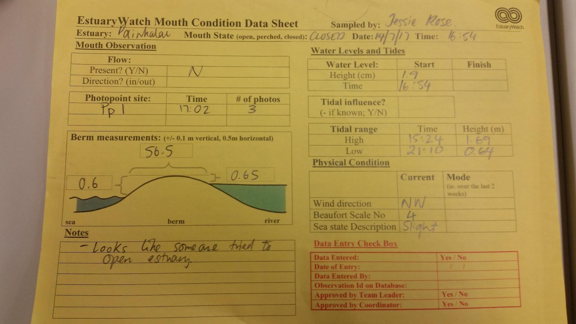
| #11698 | 14 Jul 2017 | Approved |
Notes:
|
|
| #11258 | 10 Jun 2017 | Approved |
Notes:
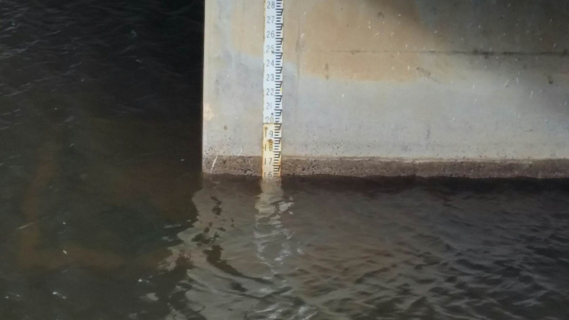
Noticed flood water sensor light was flashing, at the bridge, when measuring AHD water level Coastal Court not monitored as platform under water. |
|
| #11261 | 31 May 2017 | Approved |
Notes:
|
|
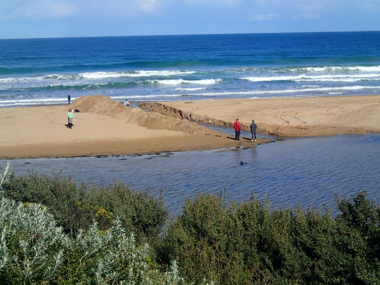
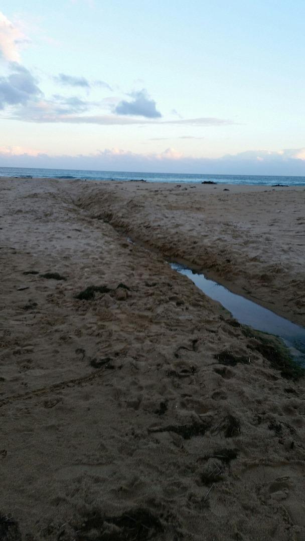
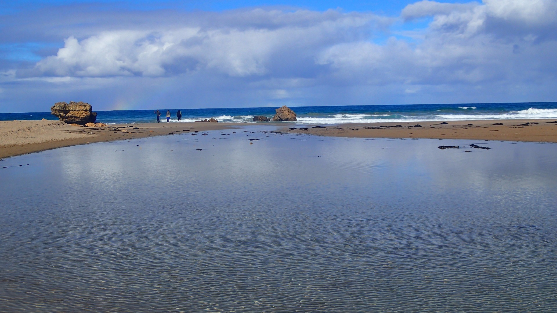
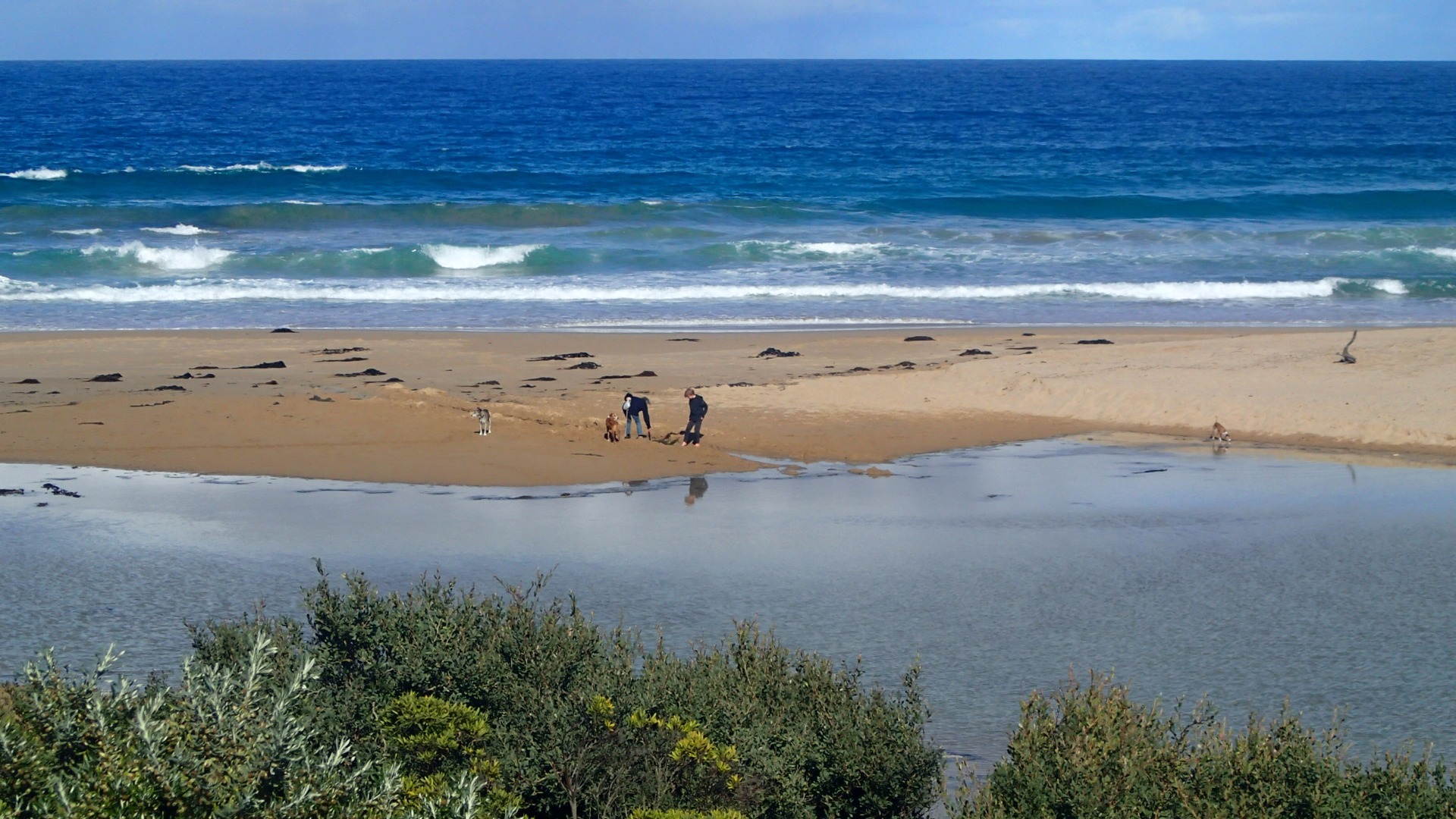
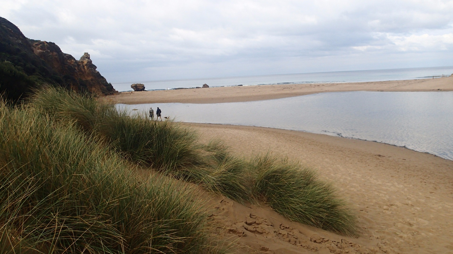
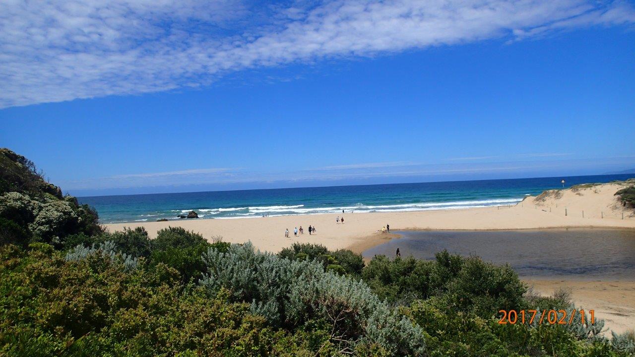
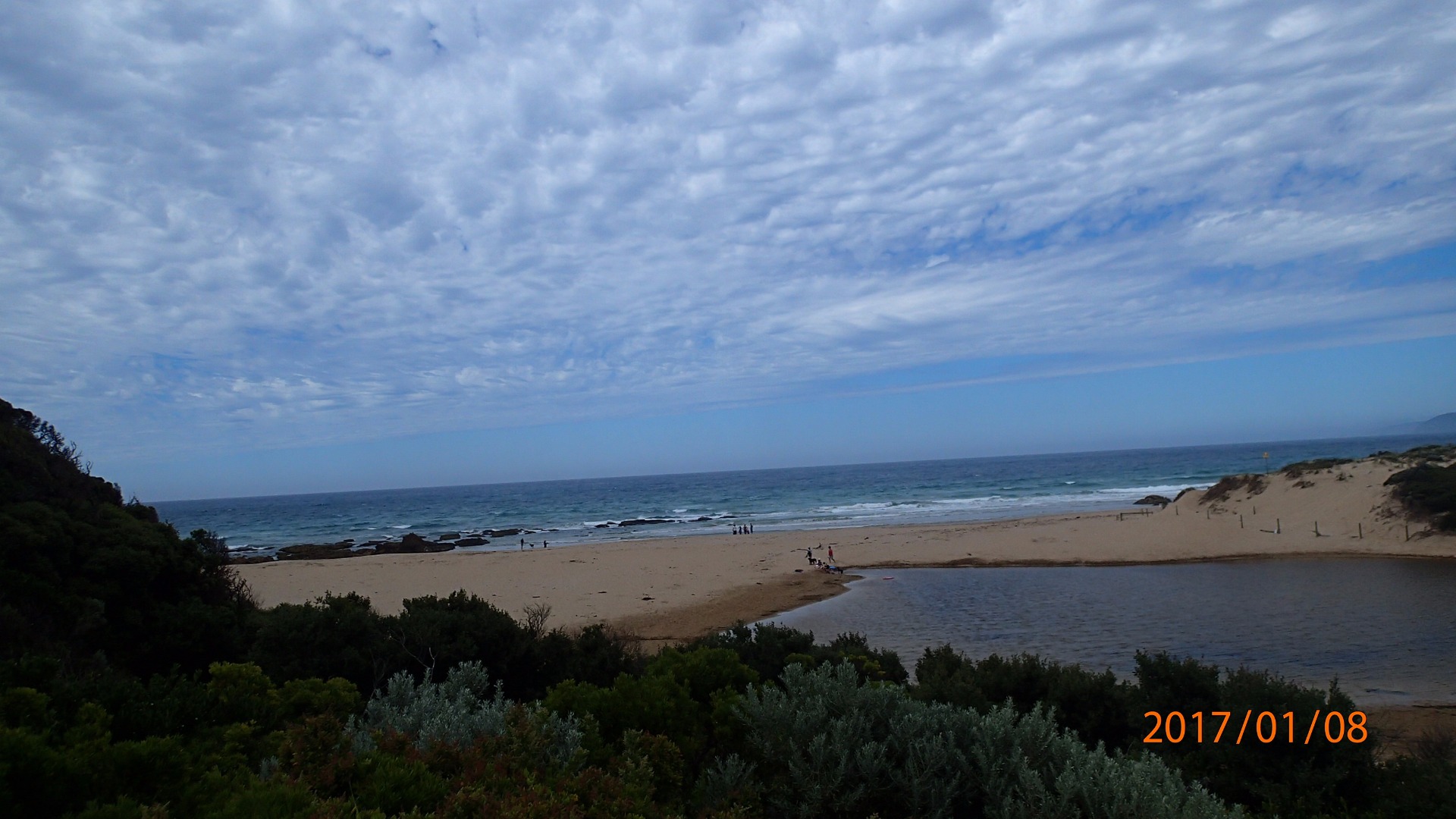
| #11167 | 13 May 2017 | Approved |
Notes:
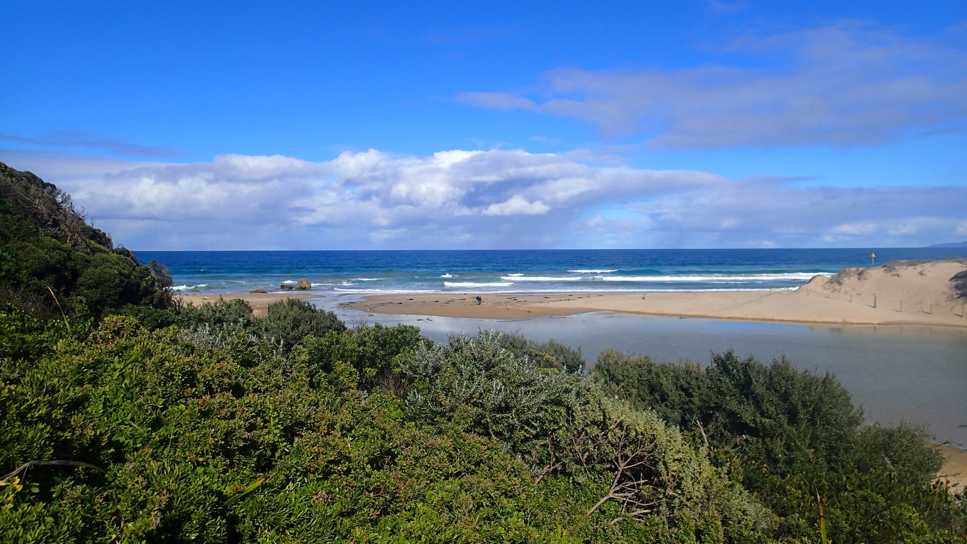
No berm measurement taken. Mouth appeared open, with water flowing out to sea over the sand. No channel to speak of, and some over-topping inwards with bigger waves. Have included a photo of some beach goers attempting to dig a channel out to sea. They appeared to give up on the task after awhile. |
|
| #11108 | 22 Apr 2017 | Approved |
Notes:
|
|
| #11056 | 30 Mar 2017 | Approved |
Notes:
|
|
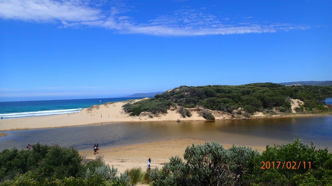
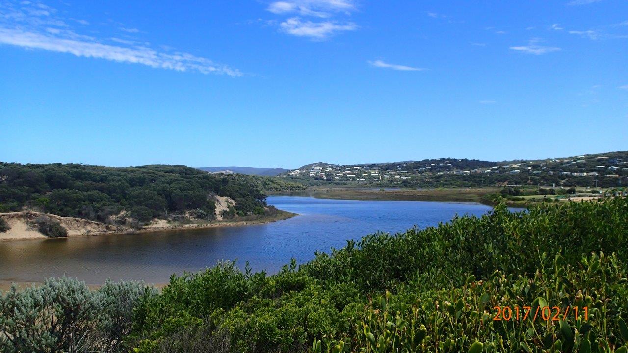
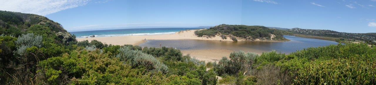
| #10897 | 12 Mar 2017 | Approved | ||
| #10808 | 11 Feb 2017 | Approved | ||
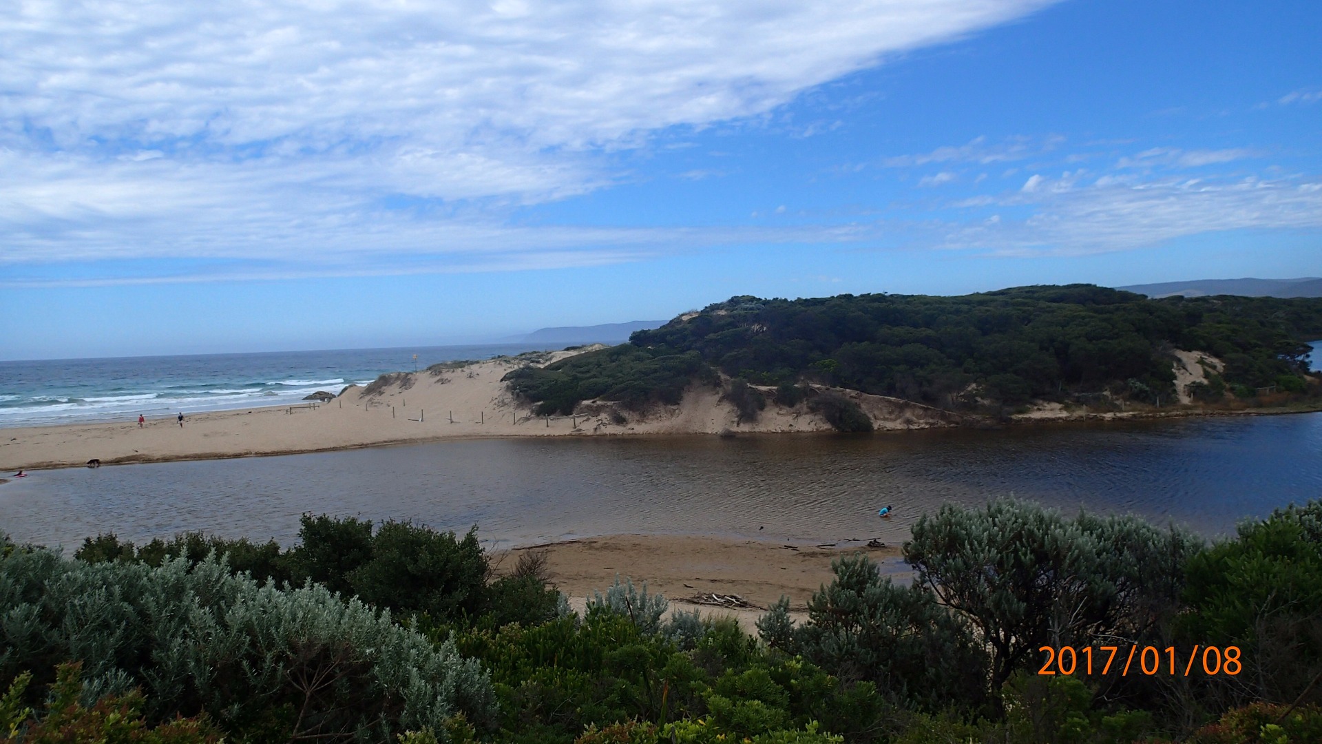
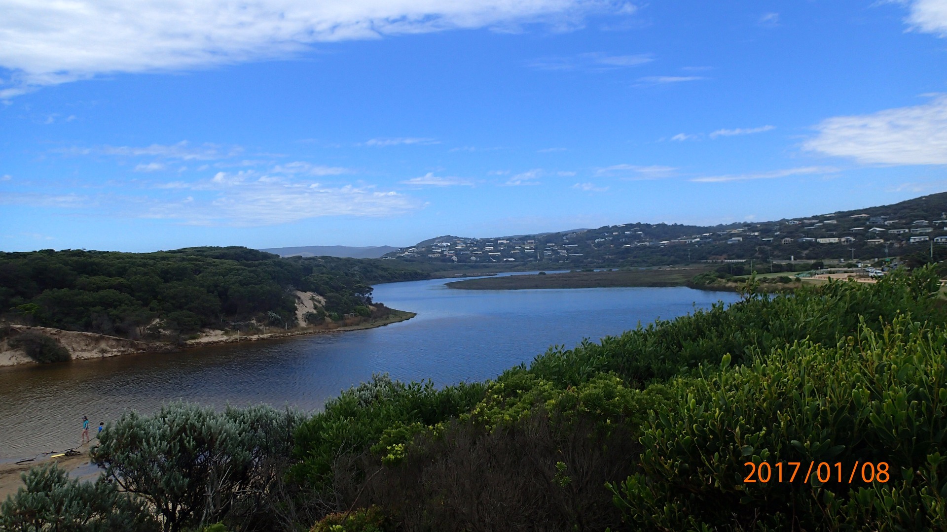
| #10680 | 8 Jan 2017 | Approved | ||

All content, files, data and images provided by the EstuaryWatch Data Portal and Gallery are subject to a Creative Commons Attribution License
Content is made available to be used in any way, and should always attribute EstuaryWatch and www.estuarywatch.org.au