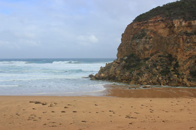
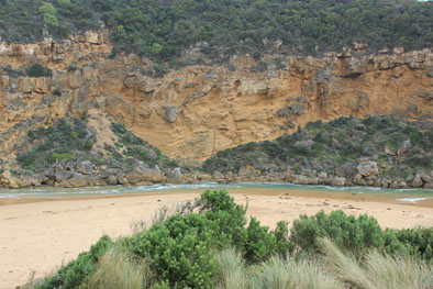
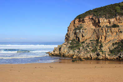
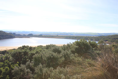
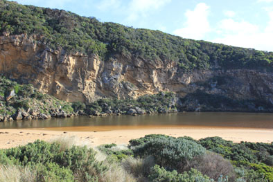
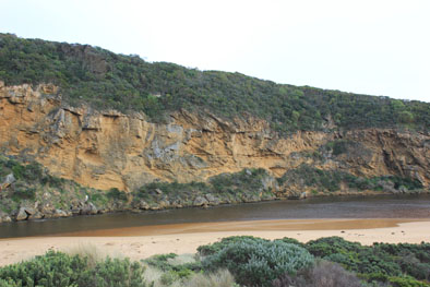
| #10365
|
19 May 2016
|
Approved |
Notes:
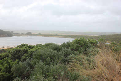
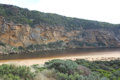
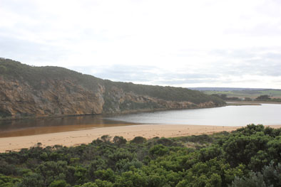
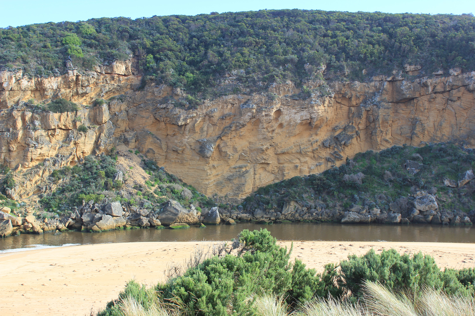
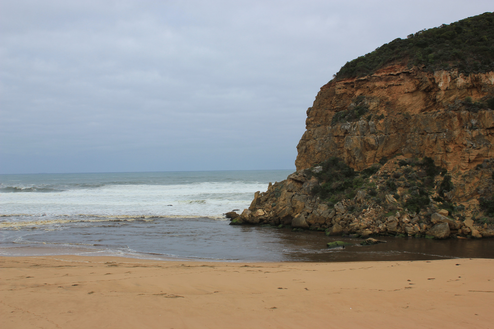
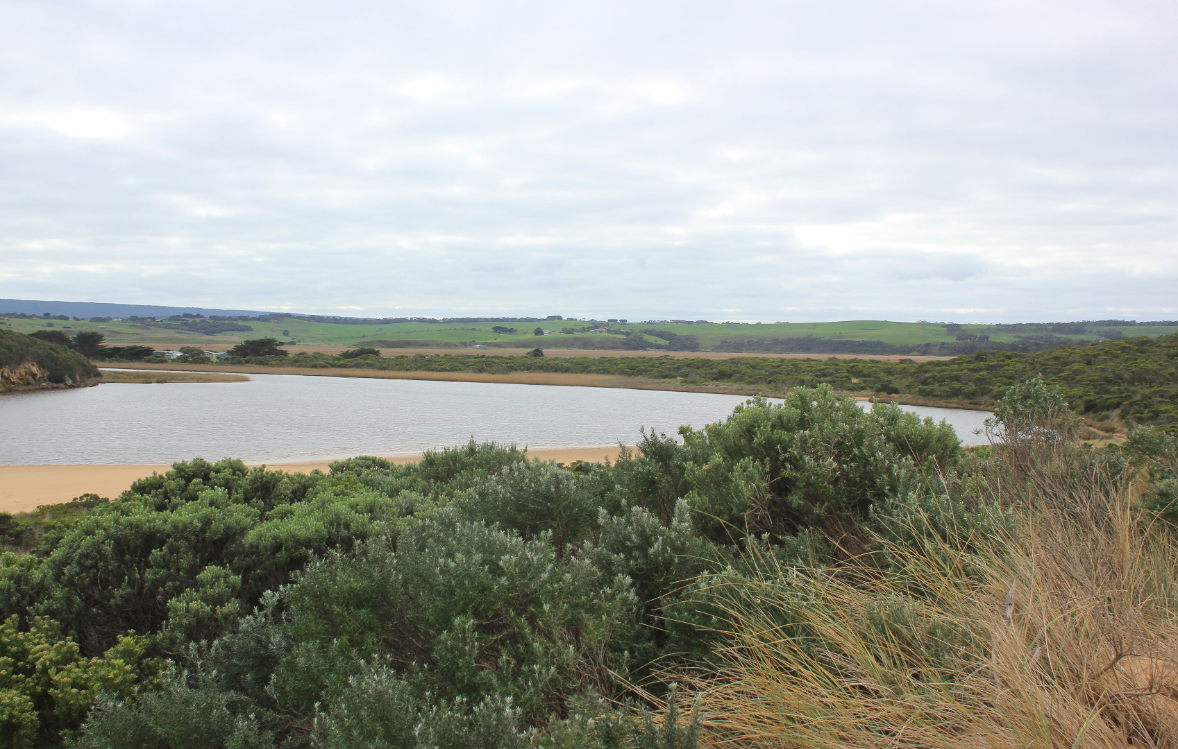
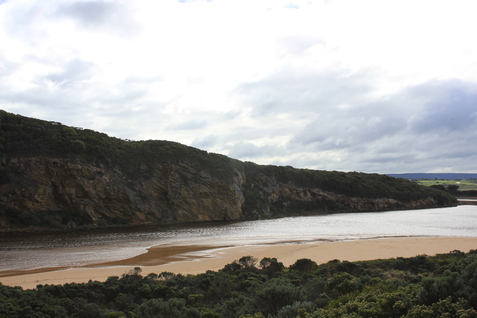
- Mouth open, small waves entering into estuary. Only salt return along narrow channel against cliff face over large sans build up both along channel & mouth
- Wind from NE blowing sand into channel
- Waves high up on beach -backwash rolling sand especially at mid beach
- Very large amount of sea weed washed alongside channel & around onto S side of estuary
- wind from N at Gp1, from NW across estuary, NE along channel.(Gusts up to 6)
|
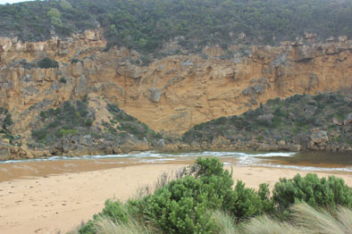
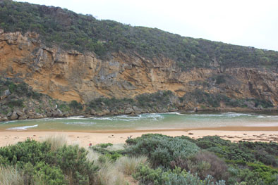
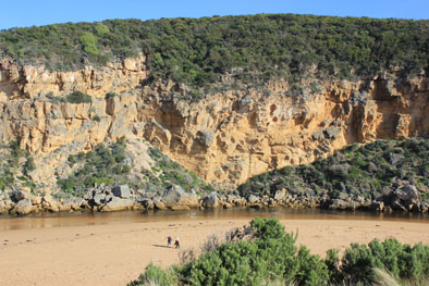
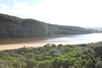
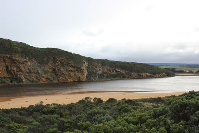
| #10338
|
21 May 2016
|
Approved |
Notes:
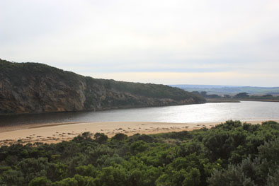
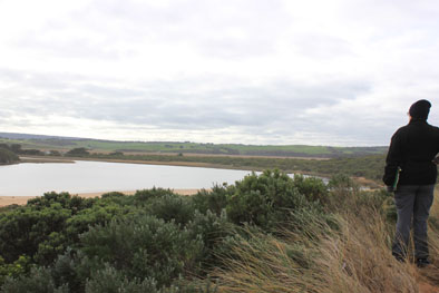
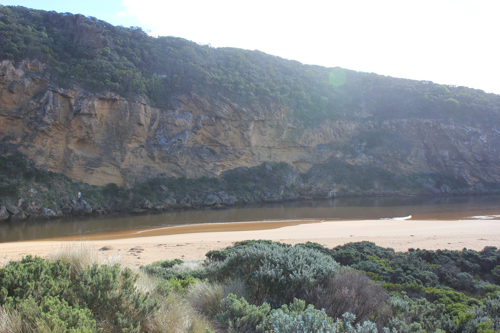
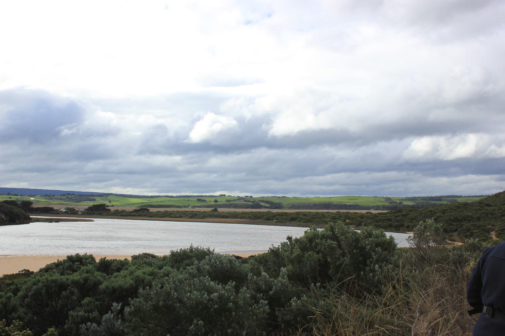
- Salt entering over a wide area, only small waves up channel
- Waves going high up on beach -backwash rolling sand back to ocean & into channel
- Large amount of seaweed including 1 very large mound on beach -seaweed extends down channel & alongside the south side of estuary
- Floodwater reducing upstream
- Bittern near OOR in north wetlands
|
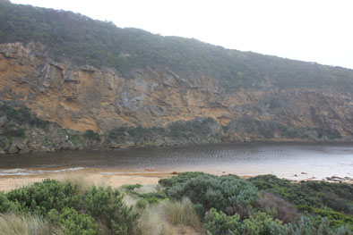
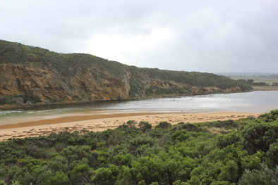
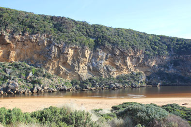
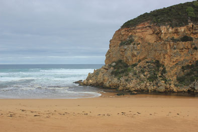
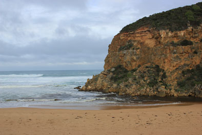
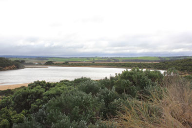
| #10337
|
26 May 2016
|
Approved |
Notes:
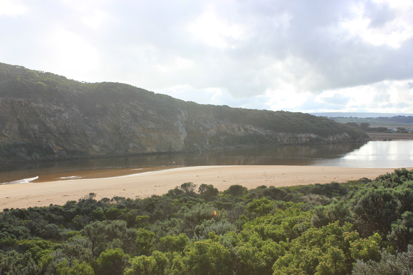
- AHD G6 1.19 @1:21
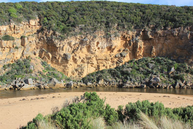
- Waves entering across a wide area, salt water up to tunnel entrance. Small waves entering estuary & travelling directly north toward camp ground
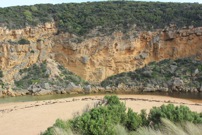
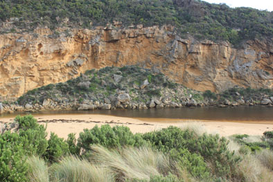
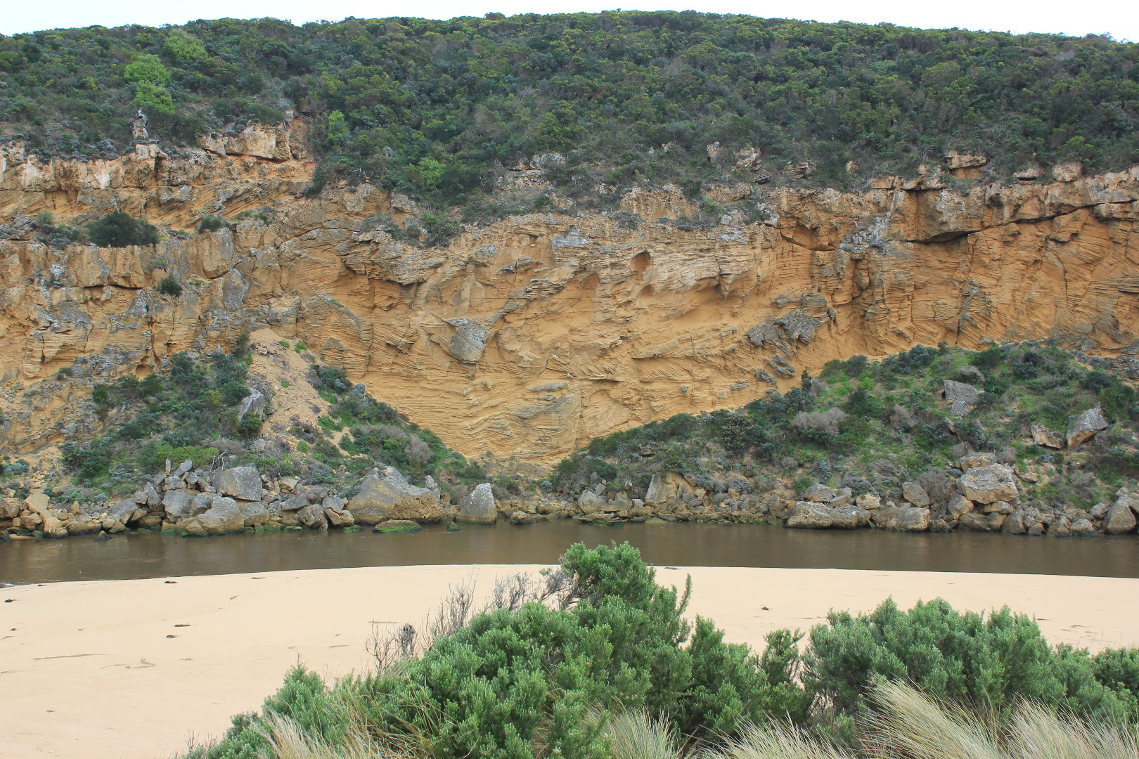
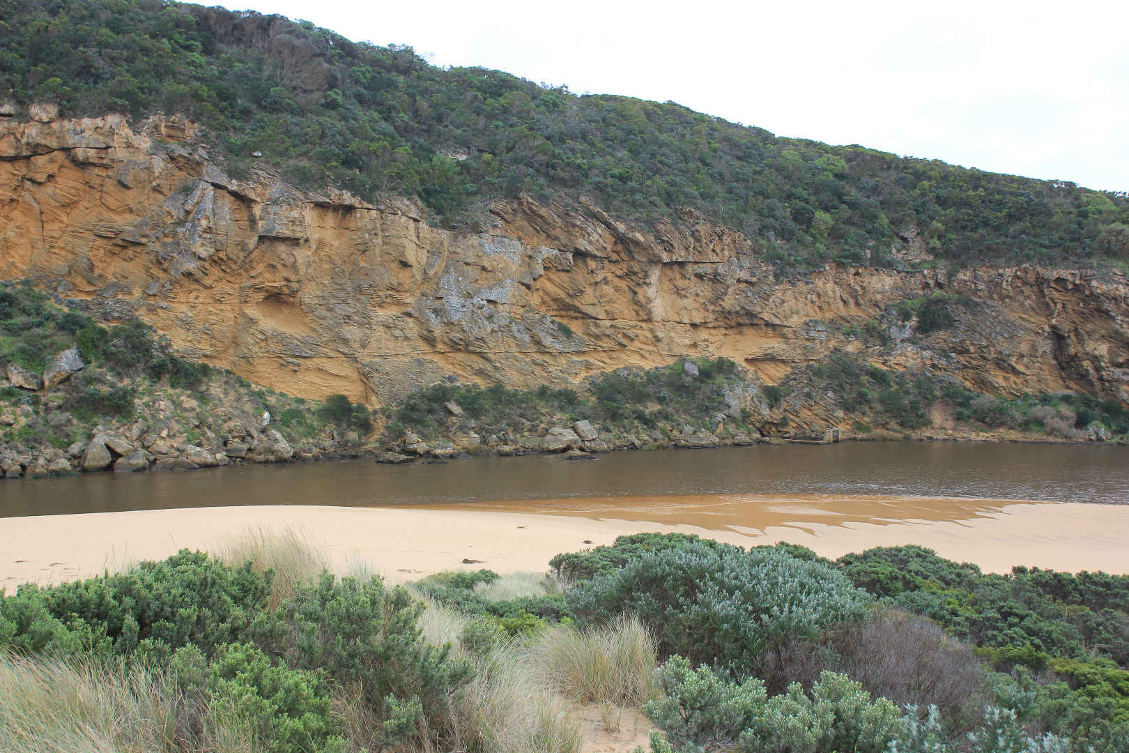
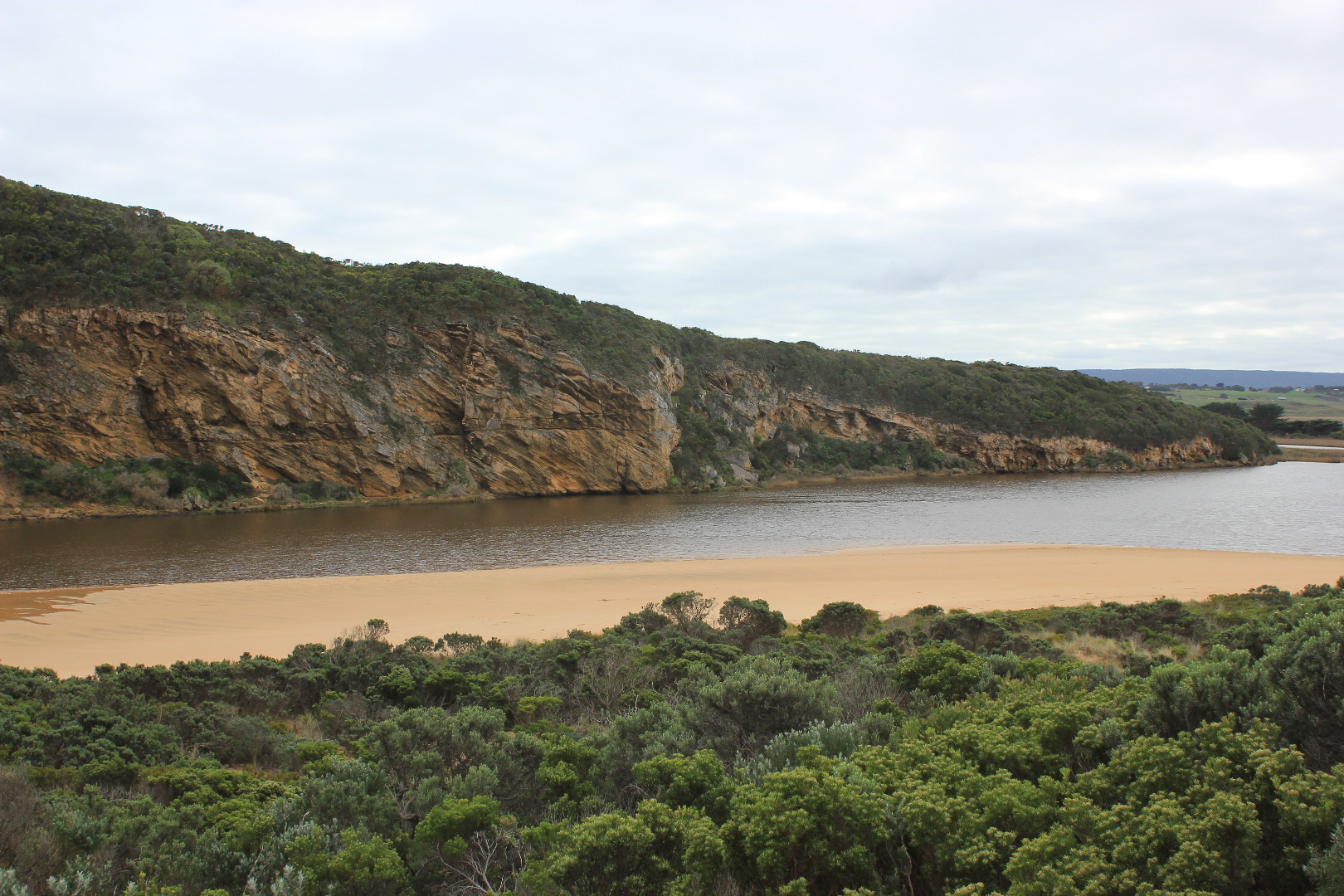
- Channel very shallow with deeper narrow section against cliff
- Sand being rolled into channel by backwash
- blowing sand along beach into channel
- Seaweed has been spread out but very large mound remains on foreshore
- Small fish in pools alongside low track
|
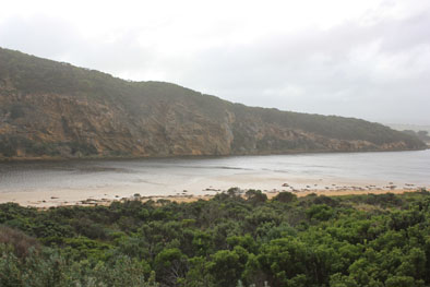
| #10349
|
2 Jun 2016
|
Approved |
Notes:
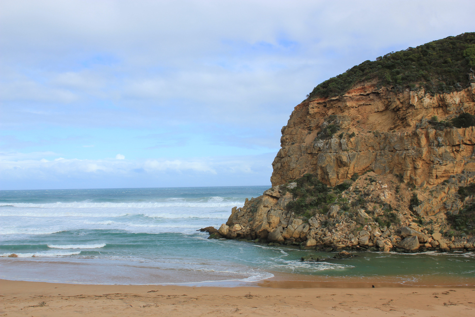
- Dark discharge out but only directly around the mouth
- Small waves entering over outflow & continuing up channel turning east at start of estuary
- Sand continues to build up at mouth around rocks but out flow has increased
- Gradual slope down to sea at mouth, waves entering over a wide area
- Sand has built up higher at eastern end of beach covering rocks
- Small area at centre of beach has been scoured out, surrounding sides higher -strong backwash in front of this area
- Small 'Jellies' in swash line
- Seaweed drying out & starting to smell bad in remaining damp area. It remains alongside channel & south side of estuary but has formed very large mounds (2) on foreshore. Some is even on low track close to ocean car park
- Red swash line along s/side of estuary
- Masses of small flying insects along low track (close to vegetation. Phragmities in that area has bad Aphis infestation
|
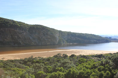
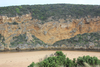
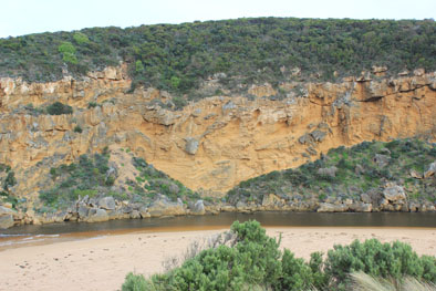
| #10372
|
18 Jun 2016
|
Approved |
Notes:
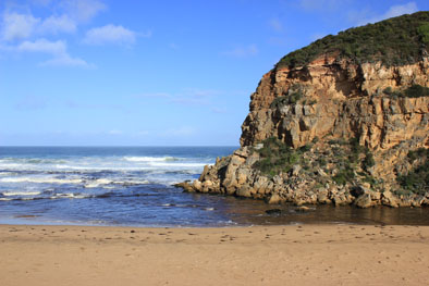
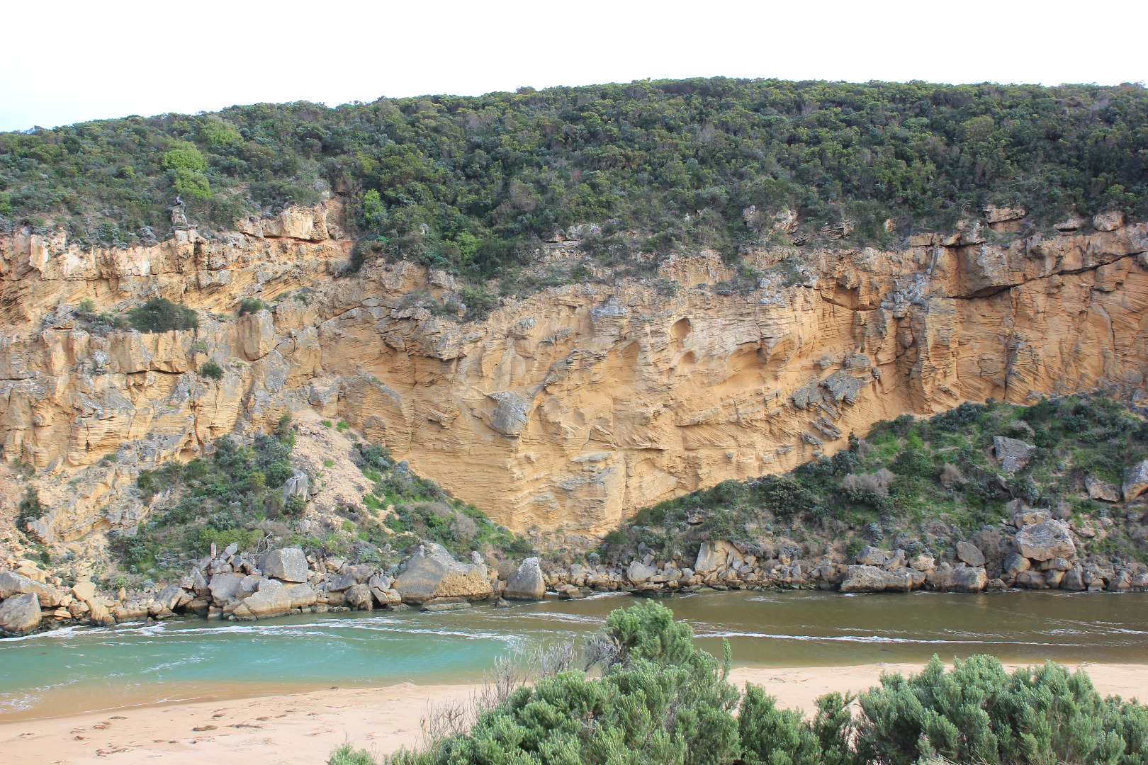
- Dark discharge out across mouth only
- Waves entering & travelling up channel into estuary
- Flow out over sand build up, deeper channel against cliff
- Steep front forming at mid beach but long gradual slope down to ocean at entrance
- Large number of Coots in middle of estuary
|
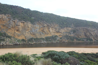
| #10399
|
25 Jun 2016
|
Pending |
Notes:
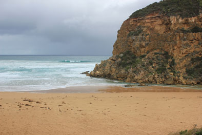
- Strong dark outflow out around mouth being held back by SW swell & longshore drift
- Strong rip at mid beach
- Longshore drift entering channel & turning east into estuary
- Waves in all directions at mouth scouring sand into channel
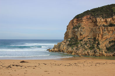
- Sand cliffs to 1.5m high formed from mid beach to east end, but beach from mid way to mouth is gradual wide slope
- Waves from strong SW swell travelling up to base of dunes & scouring out area next to rocks
- Wave erosion along side of low track
- White sea Eagle (immature ) near top of cliff near channel/ estuary start
|
| #10402
|
3 Jul 2016
|
Approved |
Notes:
- AHD @ G6 2.41@09:00
- Dark discharge around mouth being held back by V.rough SW Swell
- SW swell impacting on E end of beach has created a continuous sand cliff from mid beach to rocks at east end (1-2m.) Some waves going over the top.
- Very strong rip going out at east end, meeting incoming waves then travelling fast parallel to foreshore toward mouth(west). The resulting longshore drift on reaching the mouth turns N entering the channel and then turns east into the estuary
- Waves in all direction at mouth with backwash rolling more sand into channel (back wash stirring up sand all along the beach)
- Sand build up at mouth visible under water. Sand stir visible in ocean
- Water has covered all of low track at last hi tide
- Strong N wind across estuary
- OOR water visible at edge of road near flood markers, water across causeway @ G4 & flats upstream underwater but level lower than 25/6/16
- 4 dead Kangaroos found NW end of camp ground
|
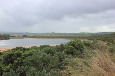
| #10707
|
9 Jul 2016
|
Approved |
Notes:
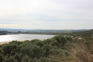
water level in estuary low
- 3 stick caddis on s side of estuary
- water gauge ebbing and flowing in and along low track from waves
- SW swell impacting at east end of beach (sand drift has gone further back toward dunes and towards entrance)
- slight LSD across mouth
- waves entering channel and east into estuary
- water level at G6 2.55AHD - flooding from G6 midway between G5 and G6, reducing from flat point
- very slight cover at drain
|
| #10709
|
16 Jul 2016
|
Approved |
Notes:
- water levels were much higher on the 13/7/16 AHD 1.43 at 13:43
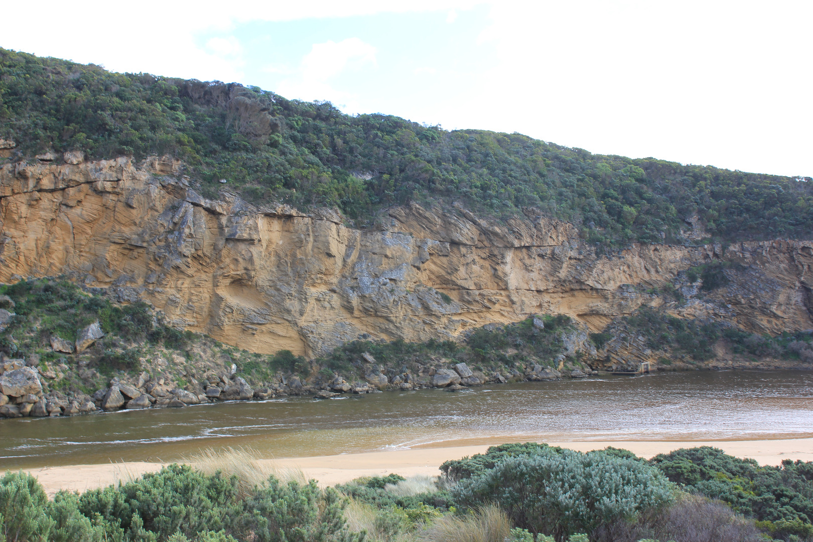
- very strong dark discharge out around mouth and to east
- dark water out to pas 2nd sand bar form east west and along beach front
- entrance is wide and fast flowing amd dirty. large amount of debris on beach
- a .6 - .8m sheer face to edge of channel
- east end of beach continues to scour out because of swell impact - reaching up into dunes
- all of the beach is covered in silt and broken veg
- low track partly uncovered - receding water levels have left a large circular "drainage" funnels
- rotting seaweed along SE estuary and low track
- some puddles covered with bubbles (photo)
- 5 stranded elvers, S side of estuary near start of channel
|
| #10711
|
10 Aug 2016
|
Approved |
Notes:
- waves moving up estuary S-N visible from carpark
- waves from north moving down eastern side
- sandbank visible below water
- winds on path NNW. wind lifting and blowing sand
- top of second post visible
- wide entrance, waves going in and no brown discolouration - outflow being help back. salt entering upstream
- S-W swell impacting east end of beach carving out dunes
- strong long shore drift
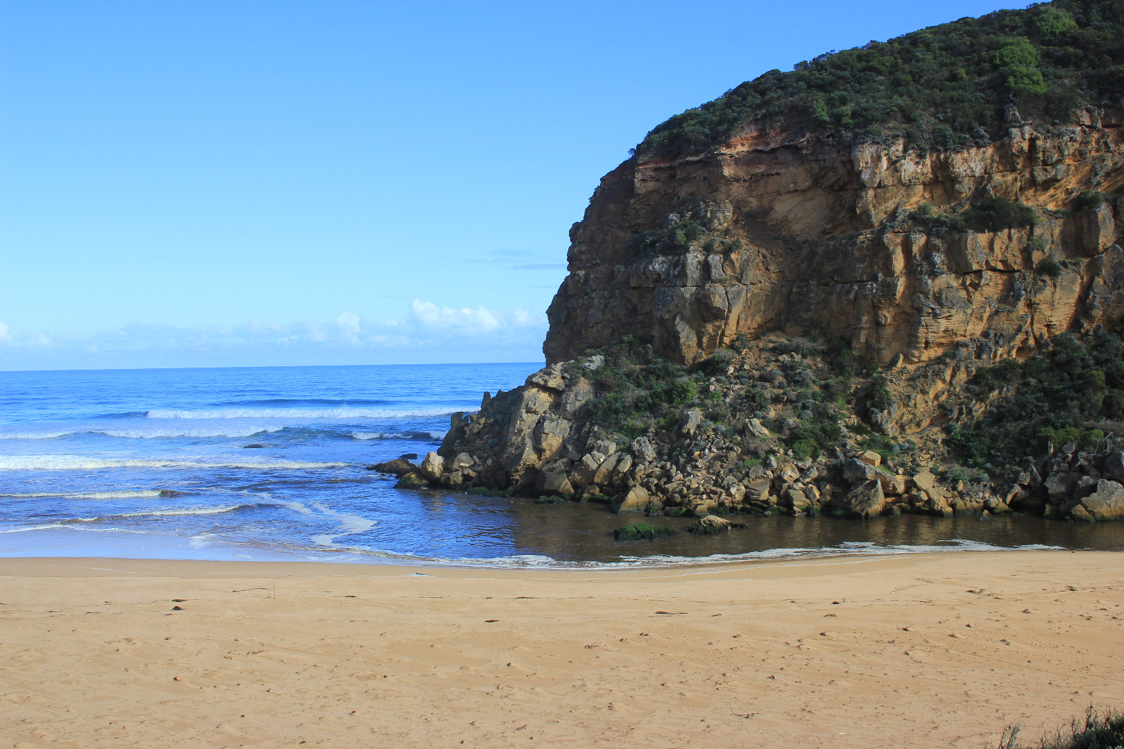
- new rock fall at mouth
|