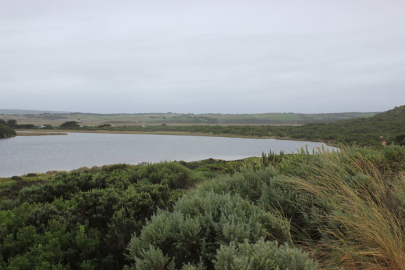
| #8778
|
14 Mar 2014
|
Approved |
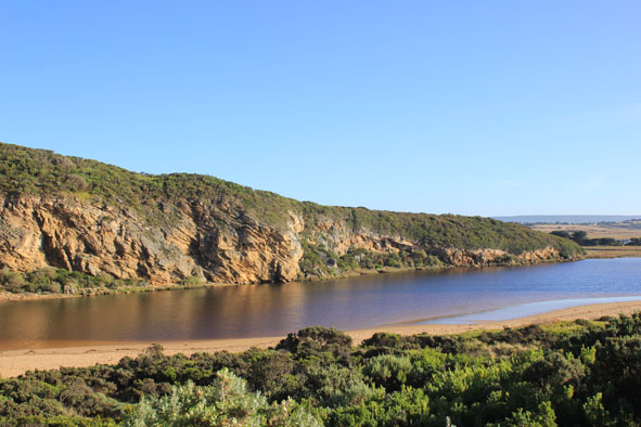
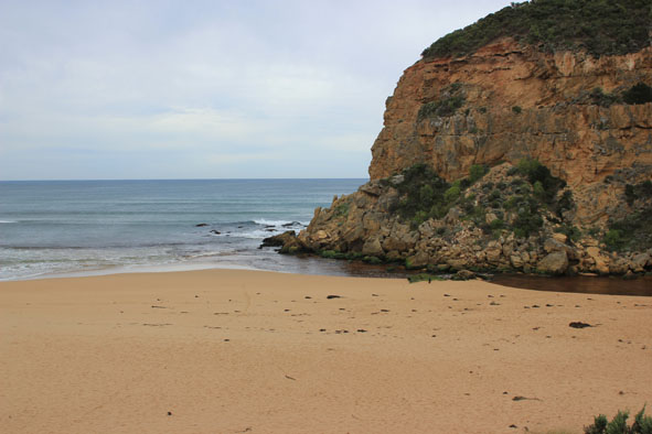
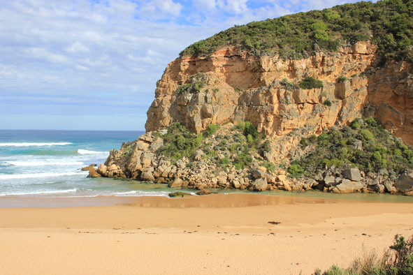
Notes:
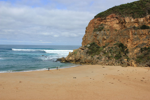
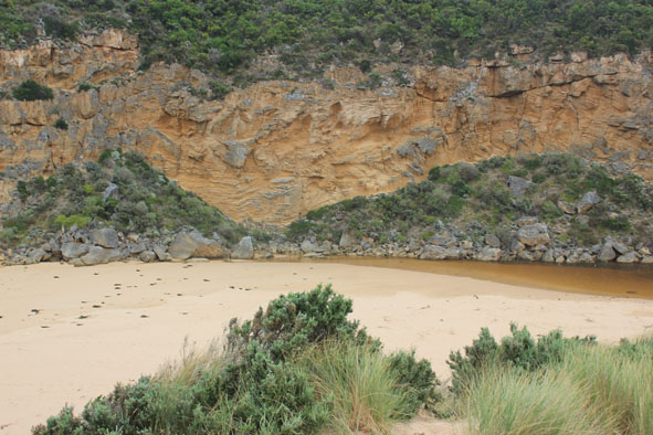
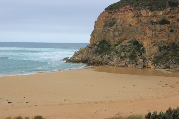
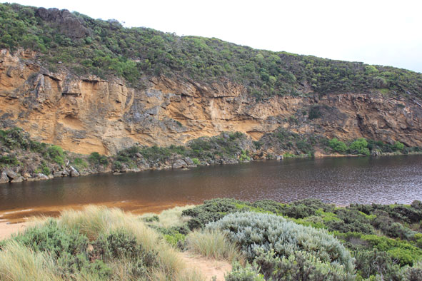
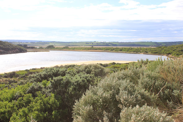
- Water level on AHD board rising as watched
- Rough sea entering mouth over a wide area, longshore drift active
- Waves going over high sand build up & on into estuary where sand bar is covered
- Only very slight outflow of returning salt water
- Water & salt levels rising upstream
- Beach still horseshoe shaped - higher near mouth
- Swans &, Black duck 7 in estuary
|
| #8789
|
21 Mar 2014
|
Approved |
Notes:
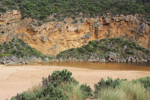
- Mouth closed 20/03/14 but sea has been over berm during rough sea & hi tide
- Rocks at entrance are not yet covered with sand
- Large mounds of seaweed along side of channel from end of estuary to near tunnel entrance
- Low track on east side of estuary covered with areas of deep water
|
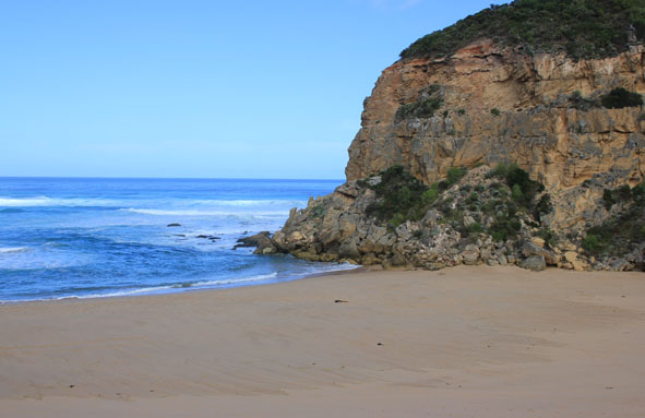
| #8802
|
23 Mar 2014
|
Approved |
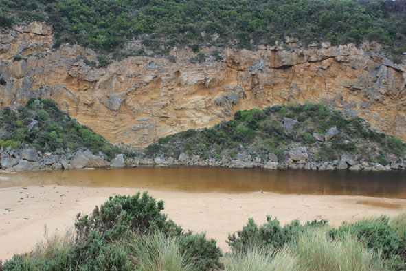
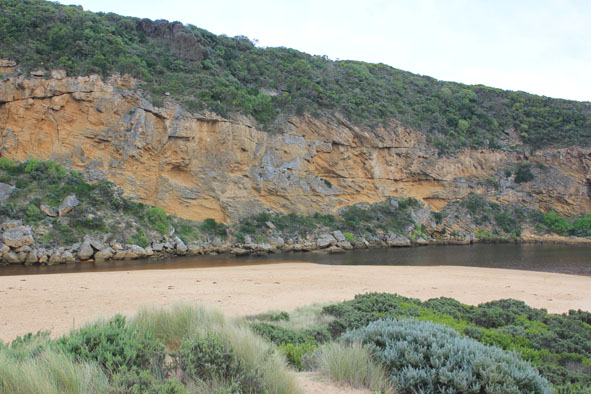
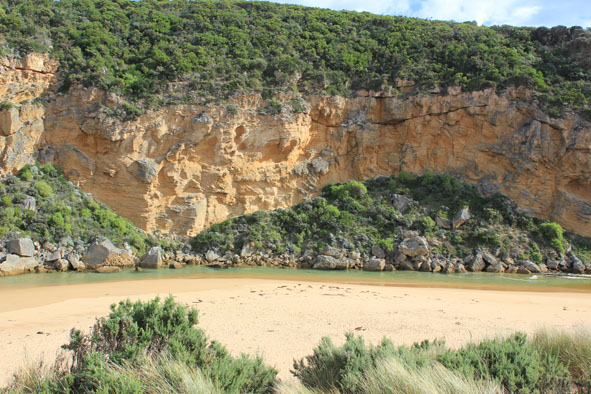
Notes:
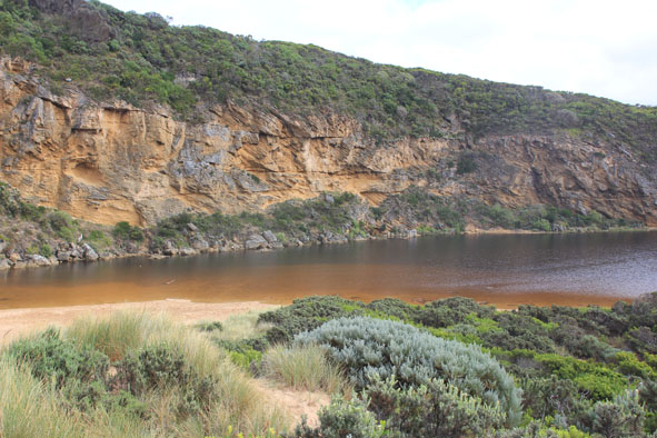
- Mouth barred but waves over at last hi tide
- Rough sea & strong wing have increased the length of the berm
- More sand over rocks at entrance
- Ocean beach highest near mouth
- Water over low track increased in height & closer to carpark
|
| #8803
|
28 Mar 2014
|
Approved |
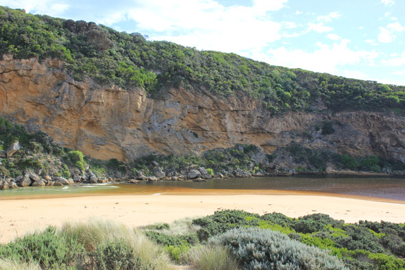
Notes:
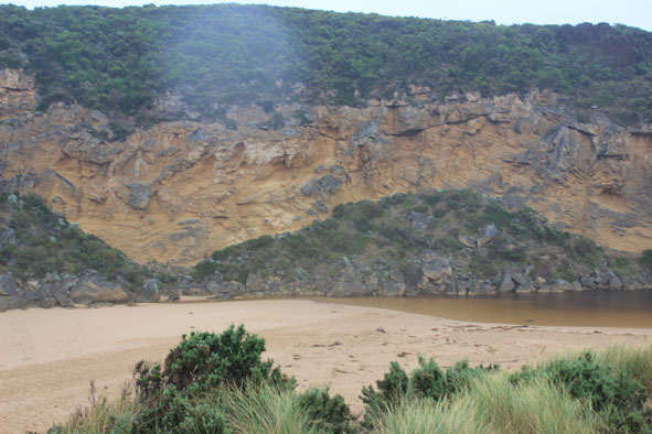
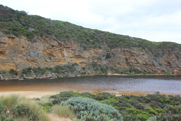
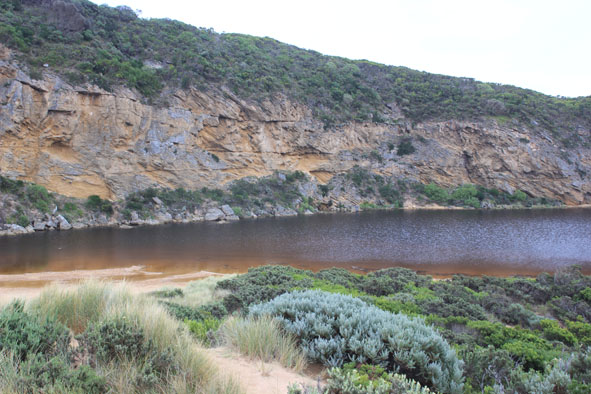
- Mouth barred but some waves over at hi tide (wave patterns in sand toward estuary)
- Waves have been up to base of sand dunes at west end of ocean beach which is still horse shoe shaped with sand highest near mouth
- Berm is highest close to sea but a depression has formed between top of berm & estuary
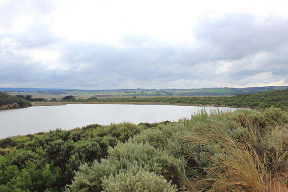
- Water over low track & into vegetation near car park
- Flooding in all wetlands around township but not upstream of G4
|
| #8818
|
2 Apr 2014
|
Approved |
Notes:
- Waves over berm entering estuary from rough sea across a wide area
- Water level in estuary high
- Waves also up to base of dunes, longshore drift active travelling behind berm
- Water over low track & visible in vegetation beside car park, also in dip on road south side of camp. ground where the track to the river is also covered. Water visible in wetland west of camp ground boundary
- Flats around Princetown up to G4 have water cover but no flooding around G5 & upstream
|
| #8822
|
6 Apr 2014
|
Approved |
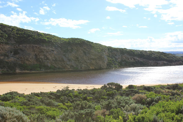
Notes:
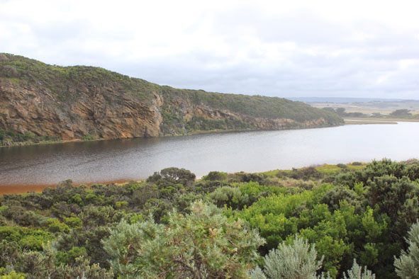
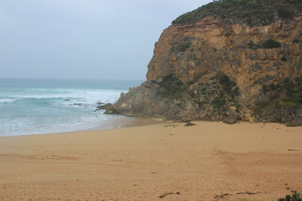
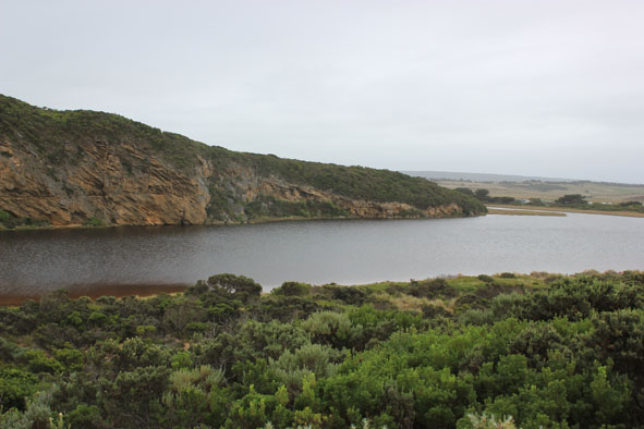
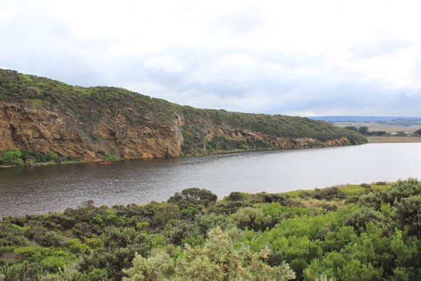
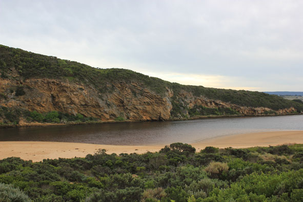
- Mouth barred but waves have been over berm at hi tide
- Berm highest along beach east of the mouth but toward cliff ( going west) it gradually slopes down
- Ocean beach horseshoe shaped - waves up to base of dunes at last hi tide
- swell from s/w with strong rip & longshore drift to west across mouth
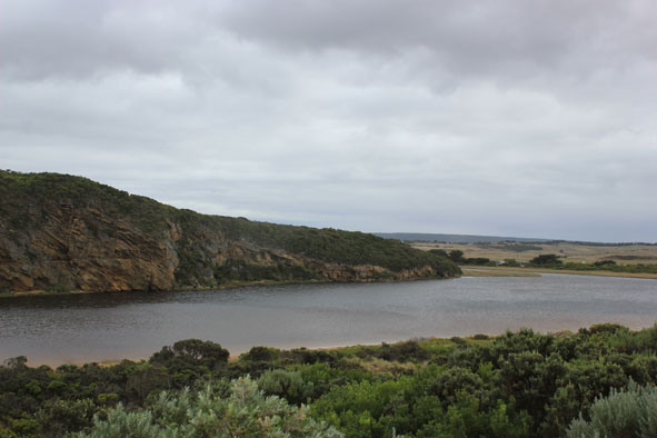
- Estuary is much wider near sea
- Water levels in estuary increased, water in dip & across track to river south of camp ground -no flooding in camp ground or across roads (water to edge of O.O.R. in low areas near flood markers)
- Water still beneath deck of fishing platform near G2
|
| #8878
|
9 Apr 2014
|
Approved |
Notes:
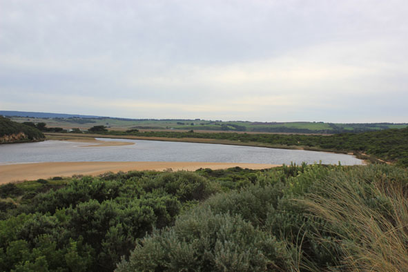
- Mouth barred
- no waves over berm at last hi tide
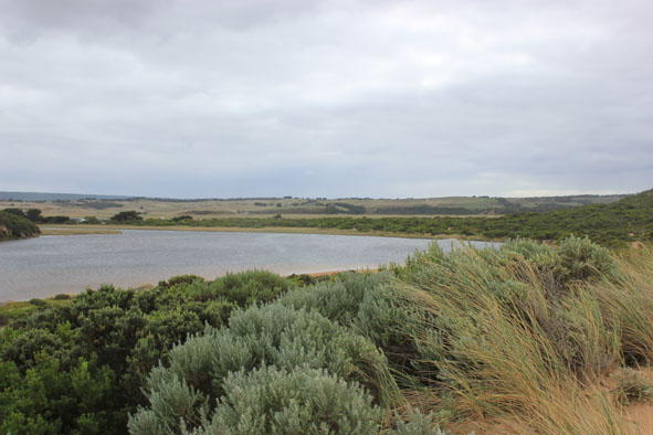
- water levels have risen but no water over roads except for some along the edge of O.O.R. near flood markers (above 0.2)
- very small amount of water in extremely low areas in camp. ground
- water increased in low area of top track to beach
- Floodwater starting (waterlogging) downstream, midway between G5&G4
- water in drains & very low areas around G5 & upstream to G6
|
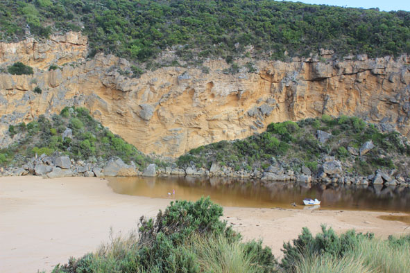
| #8879
|
12 Apr 2014
|
Approved |
Notes:
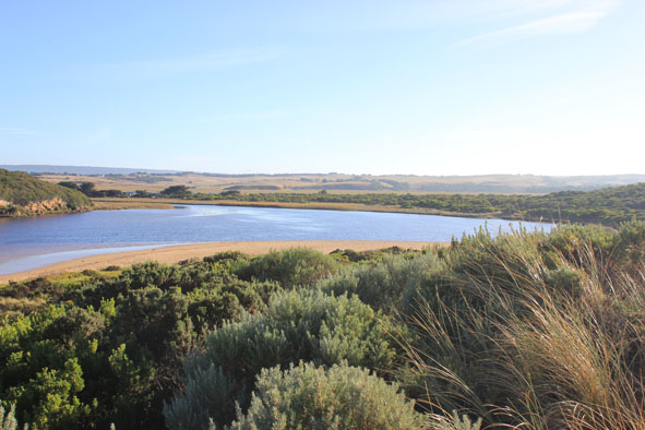
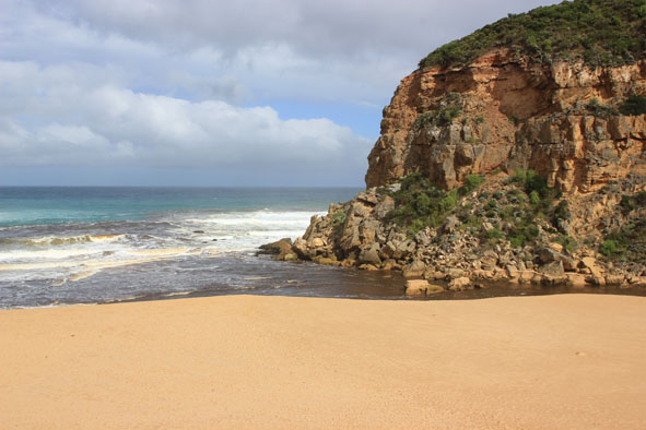
- Artificial opening 11/14/2014 ( Early AM.)
- strong dark discharge from mouth to east & west
- water level dropped about 1m. since opening
- mouth about 40m. wide but channel narrowing upstream rocks to about 15m.Flow on both sides of rocks
- steep 1.30 m/ sides to channel at mouth
- waves in all directions at mouth with strong rip & longshore drift
- sandbar exposed & wide expanse of sand south side of estuary
- water only in deep areas of low track
- couple of dead salt water fish but many small fish swimming near surface
|
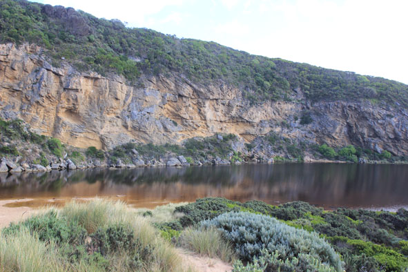
| #8854
|
9 May 2014
|
Approved |
Notes:
- Dark discharge out between rocks & cliff over shallow area, turning to east
- Channel very wide forming a pool with steep east bank directly upstream rocks, but starts cascading down through shallow area between rocks & cliff
- More erosion to east side of estuary, many large mounds of seaweed & scattered shells from ocean beach along channel to near car park. Sandbar exposed
- many small fish in shallow water(east side of est.)
- Shoreline on Ocean beach is becoming straighter, east end scoured out & sand highest near mouth
- Longshore drift both to east & to west, also meeting return waves at east end of beach
- Strong north wind flattening out sea
|
| #8876
|
17 May 2014
|
Approved |
Notes:
- Salt water only entering mouth, travelling down channel into estuary. Entering darker water near tunnel entrance
- Wave surge strong down channel continuing north over sand bar
- Wind driven waves from north travelling toward mouth along east side of estuary
- Waves in all directions at mouth around rocks
- Strong long shore drift
- Waves on angle along beach
- Hoary headed grebe(1), Swamp harriers (2) Peregrine falcon (1)
|