Gellibrand River Estuary

Download

770 results found (Displaying 381 - 390)
ID Date Status Details
#8529 18 Oct 2013 Approved Notes:
  • Outflow reducing, dark discharge only around mouth
  • V.rough sea, waves curving around across mouth, longshore drift active & strong rip out to sea.
  • Waves travelling down channel into estuary
  • Strong gale force wind & high sea on 17/10/13 have created more erosion to dunes on ocean beach & in estuary
  • Sand has built up around rocks & channel only about4m. wide upstream
#8543 31 Oct 2013 Approved Notes:
  • Dark discharge around mouth, along foreshore, slightly out to sea & west
  • Water levels in estuary very low, sand bar, south side & low track well exposed
  • Waves entering channel
  • Sand dunes on ocean beach more severely eroded, . steep face now about 3-5m. high, sand,shrubs & vegetation have been driven toward mouth and around into estuary
  • 2nd (30-70 cm. high) small sand cliff forming below dune face
  • 13 dead black shearwaters & many small purple shells along beach.
  • Flood waters upstream are receding but all flats around G5 are still underwater
  • Strong flow under bridge G4
#8548 10 Nov 2013 Approved Notes:
  • Dark reddish discharge around mouth, slightly to east & west. (Flats upstream are draining) Flow is reducing
  • Channel narrow (low tide)but sand has built up on beach at mouth & around into estuary. Sand is also building up around rocks
  • 88 recently dead Shearwaters on beach under eroded dunes, near mouth & alongside channel, 7 more at east end of beach.
  • Sand bar, low track and south side of estuary are very well exposed (low tide)
  • Tern fishing along foreshore & reef
#8568 15 Nov 2013 Approved Notes:
  • Dark discharge around mouth & to east along foreshore, some visible to west
  • Sand build up around rocks increasing
  • Water level low in estuary, sandbar & sand areas well exposed
  • Outflow increased from recent rainfall (45ml since 07/11/13 at G6)
#8575 22 Nov 2013 Approved Notes:
  • Dark discharge out around mouth & to east
  • Waves entering channel & continuing into estuary
  • Small (1m.) dead seal (Pale coloured) near mouth
  • !0 new dead Shearwaters
  • Also platypus have been sighted in river about 1.2km upstream of township
#8585 29 Nov 2013 Approved Notes:
  • Very dark & dirty discharge around mouth & to east, dark silt covers the beach to high tide mark
  • Small waves entering into estuary
  • Large areas of sand exposed on bar & south & east sides of estuary
  • Seagrass exposed along east side of estuary
  • Black sand patterns beside channel
  • Solitary Tern fishing the estuary
#8602 6 Dec 2013 Approved Notes:
  • Dark discharge around mouth & to west
  • Sand building up in front of rocks
  • Sea has been up to base of dunes at last hi tide with longshore drift actively sweeping around into the estuary & channel
  • Saw logs have moved from east end of beach to mouth & into estuary
  • Many shells washed up on exposed sand mid low track in estuary
  • Sand areas & sandbar exposed
#8615 14 Dec 2013 Approved Notes:
  • Dark discharge only around mouth & to west
  • Increased sand build up around mouth & around rocks
  • Dark silt line along Ocean beach- up to base of dunes
  • Despite being close to hi tide the sandbar is still partially exposed
  • 58 cm. Trout caught in river about 15m. upstream rocks
  • Large increase of Melilotus indica along side low track, also sand at south side of estuary is being re-colonised by Cakile maritima
#8642 20 Dec 2013 Approved Notes:
  • Dark discharge only around mouth
  • Sandbar & areas south & east sides of estuary well exposed
  • Large masses of bright green algae draped along east side of estuary
#8644 29 Dec 2013 Approved Notes:
  • Dark discharge only around mouth & to east
  • Increasing sand build up at mouth
  • Channel only flowing between rocks & cliff face but waves entering across a wider area, strong longshore drift to mouth & entering channel upstream rocks
  • Recent hi sea has been up to base od dunes on ocean beach
  • Sand bar nearly covered
Creative Commons CC BY
All content, files, data and images provided by the EstuaryWatch Data Portal
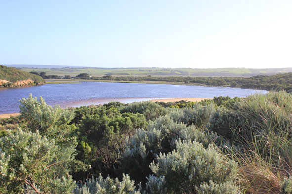
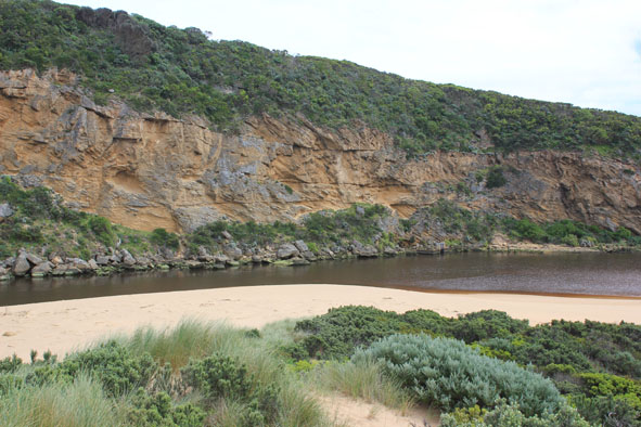
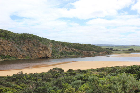
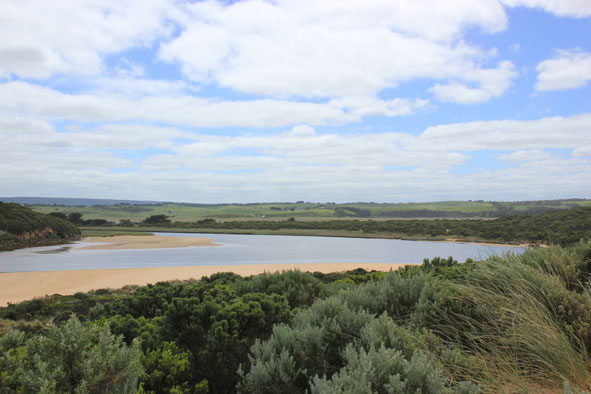
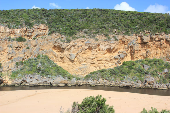
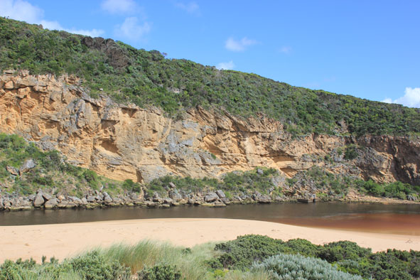
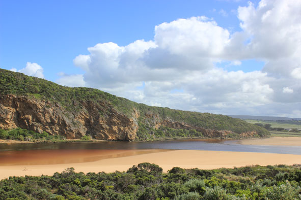
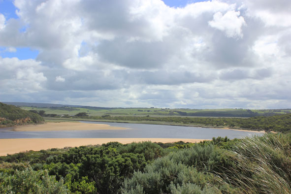
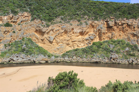
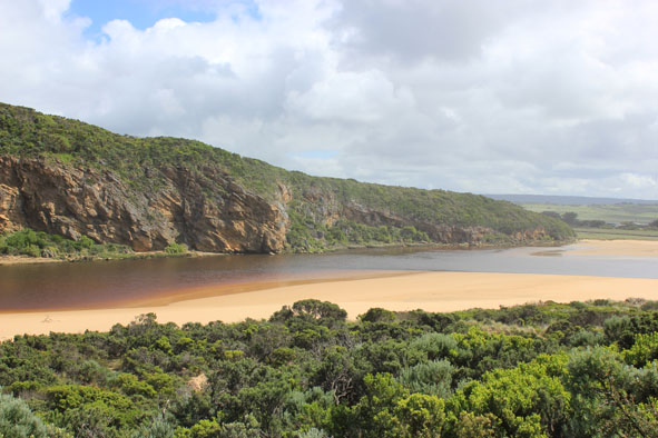
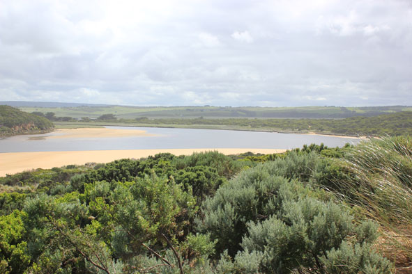
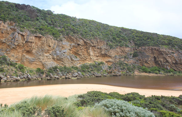
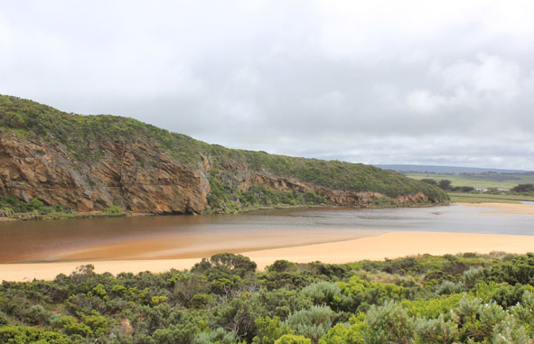
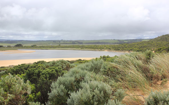
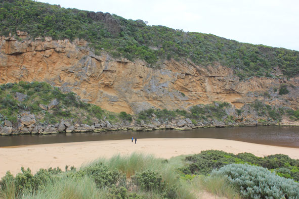
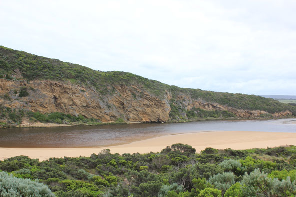
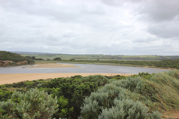
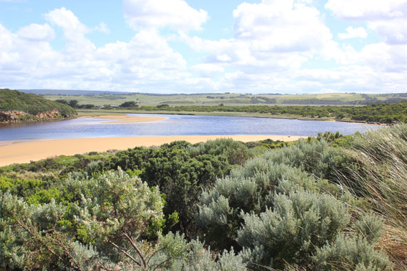
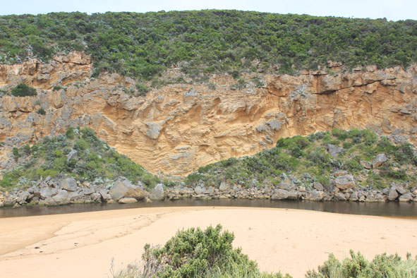
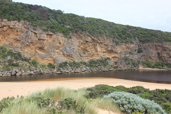
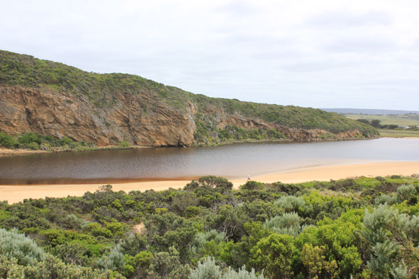
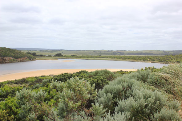
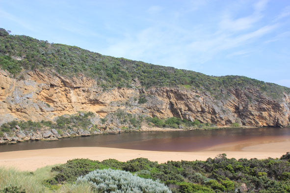
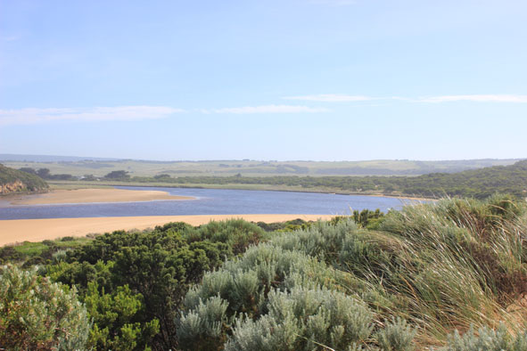
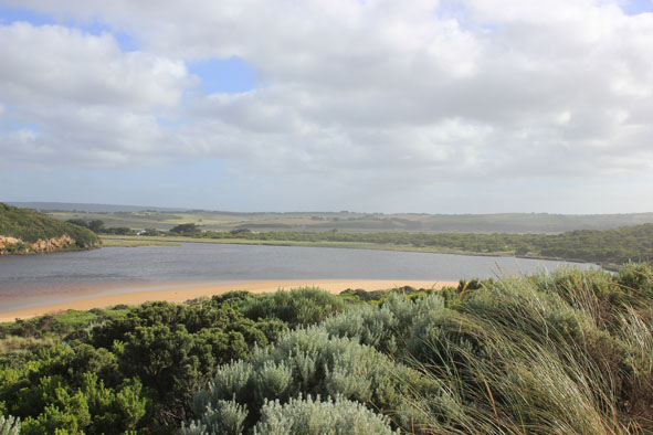
 and Gallery are subject to a Creative Commons Attribution License

Content is made available to be used in any way, and should always attribute EstuaryWatch and www.estuarywatch.org.au