Gellibrand River Estuary

Download

770 results found (Displaying 341 - 350)
ID Date Status Details
#8144 8 Mar 2013 Approved Notes:
  • Beach wide and sloping, sand cliff caused by recent opening being reduced by wave action. Wave action bringing sand into the estuary.
  • Berm has extented about 4.5m into the estuary since 06.03.13
  • Wave travelling from the S/W are intersecting waves travelling from the N/S. Sand is visible in that area. Refer to drawing on data sheet.
  • Only six coots and one pair of pacific gulls at estuary mouth.
  • Water over low track but no where else.
#8147 11 Mar 2013 Approved Notes:
  • Waves continuous along beach, intermittently washing over the top of the berm.
  • Berm is lower near the cliffs.
  • Longshore drift still crossing S/W swell about 30m out to sea.
  • Water over track to fishing area south of camping ground. OCR only damp.
  • no water over any other areas.
  • huge number of people, no birds.
  • no vsible sign of dead fish.
#8163 15 Mar 2013 Approved Notes: 1.River mouth perched -waves over travelling along east side into estuary
2. No dark discharge travelling out
3. Actual berm is longer, wider & very shallow - Width of wave entry 20-40m.
4.Long shore drift very active about 20m.+ from shore where north south aligned waves collide with those from sw. Foam & spray going up very high
5.Sand visiable in breakers out to sea
6.Waves have been high up on shore but no long shore drift in former area behind berm
7 No sign of any dead fish. Only about 10 Coots remaining
#8189 20 Mar 2013 Approved Notes:
  • Mouth closed but waves over at hi tide entering directly south of estuary
  • Sandbar forming about 20m out to sea where main impact of longshore drift occurs, deeper channel between this & shore
  • Water over track south of camp. ground & low track but no water on OCR or OOR
#8191 23 Mar 2013 Approved Notes:
  • Mouth closed but waves entering at hi tide acros a wide area
  • Estuary has more sand across front but a narrow 'amr' extends closer to sea at base of cliff
  • Beach - horseshoe shaped with higher sand east of entrance. Area closest to cliff is lower
  • Long shore drift out to sea not as active
  • Water in large depression (OCR)south of camp. ground & over low track but not visiable on any other roads
#8198 27 Mar 2013 Approved Notes:
  • Mouth barred but waves over across a wide area directly south of estuary at hi tide
  • Berm gradually slopping toward sea
  • Long shore drift not active
  • Wind driven waves in estuary
  • Water in small area on side of top track & nearly to car park on low track
  • Good catches of tomy rough & salmon from ocean beach
#8200 1 Apr 2013 Approved Notes:
  • Mouth barred but waves over on very wide front during recent v.rough seas & hi tide
  • Berm is higher & wider, but lower near cliff
  • Sea has reached base of dunes creating sheer face & also travelled up & over highest area east of entrance entering estuary from mouth to near top track entrance
  • Water over all of low track & small area of top track
#8208 5 Apr 2013 Approved Notes:
  • Mouth closed -some waves have been over the bar but only entering the estuary across a narrow low area close to cliff
  • Sand visiable in breakers directly south of estuary & also to west
  • Ocean beach wide & slopping, sand still high east of estuary entrance but slopes down lower toward cliff
  • Increased water cover on top track & in small area alongside OCR between GOR & camp. ground
  • Water over deck of fishing platform(G2)
  • Increased flooding upstream but not over OOR
#8212 7 Apr 2013 Approved Notes:
  • illegal opening attempted but mouth still closed
  • Water flowing out from estuary but going underground about half way along trench
  • Beach changing shape -undulations from north to south appearing but highest point is still east of entrance. Sand cliff starting east end
  • Berm is lower against cliff
  • Many small fish in flooded vegetation along side of estuary
#8217 12 Apr 2013 Approved Notes:
  • Mouth closed but some flow out has occured along the trench recently dug during an attempt at illegal opening.
  • Flow out observed 11/04/13 and signs of wave entry & outflow after hi tide noted on12/04/13
  • Water is currently flowing along trench to about 20m from estuary & going under ground
  • Beach wide & slopping (horseshoe shape) but highest point remains east of mouth. Lower next to cliff
  • Long shore drift strong about 20-50m out to sea
Creative Commons CC BY
All content, files, data and images provided by the EstuaryWatch Data Portal
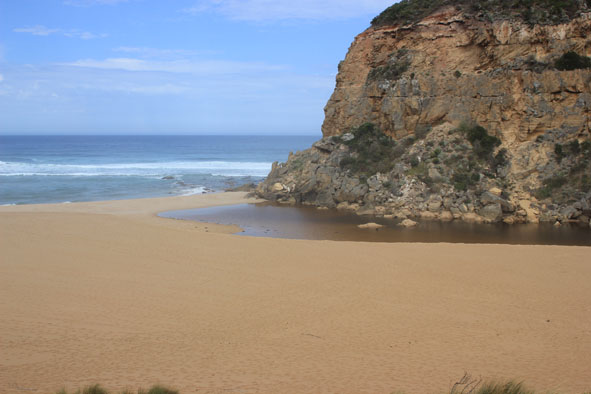
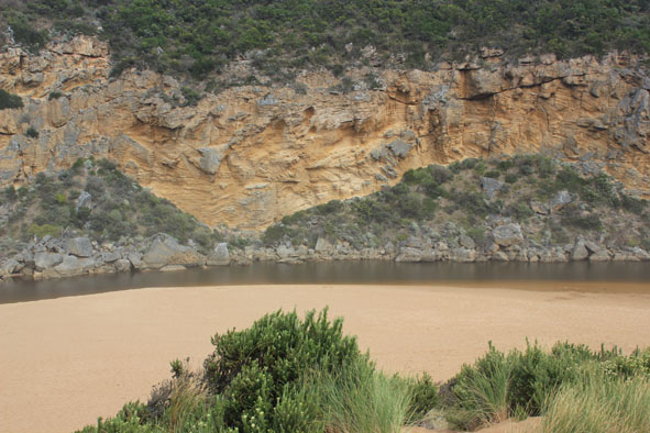
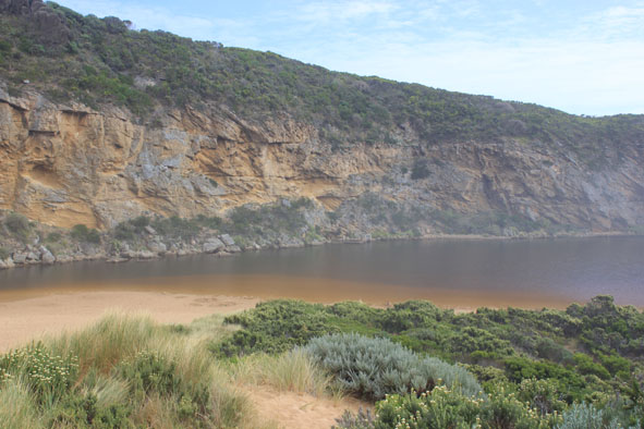
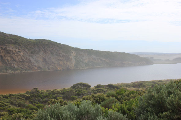
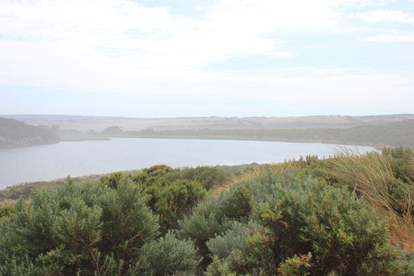
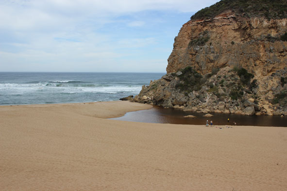
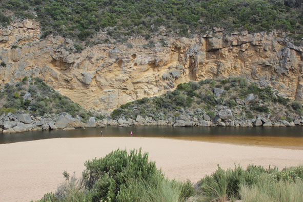
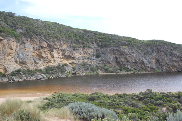
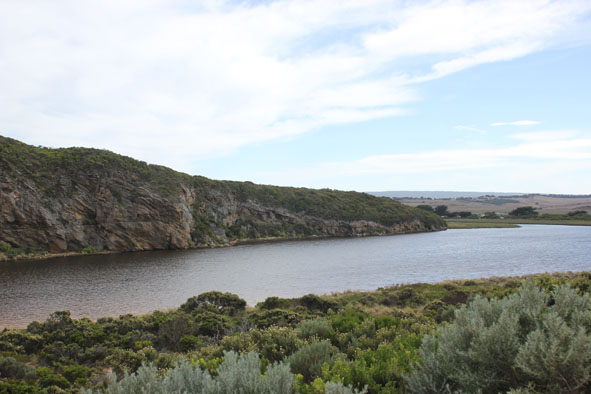
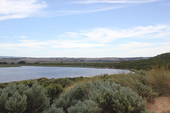
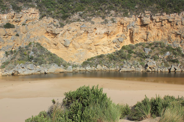
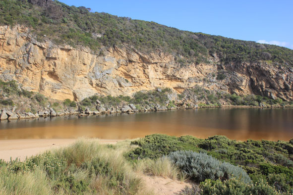
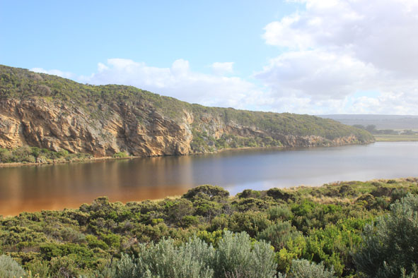
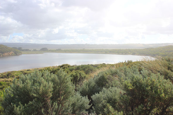
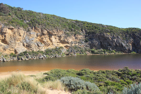
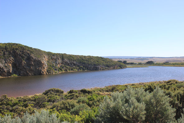
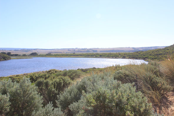
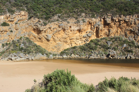
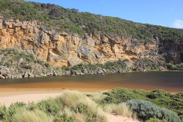
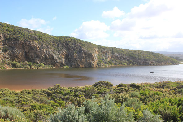
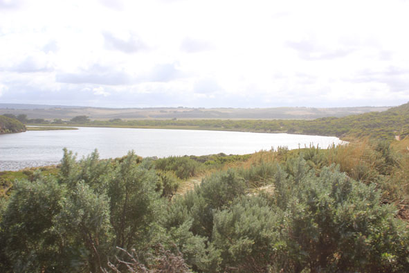
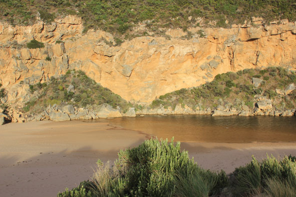
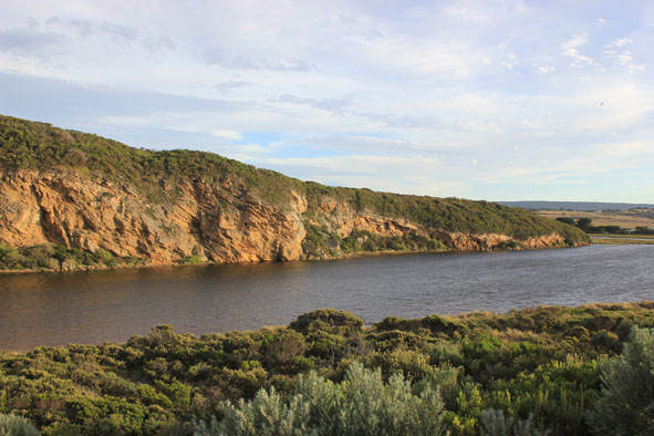
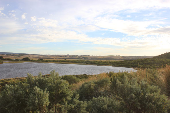
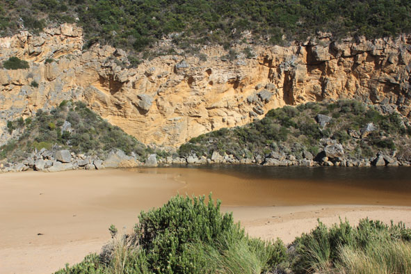
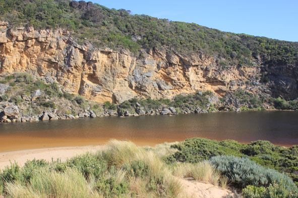
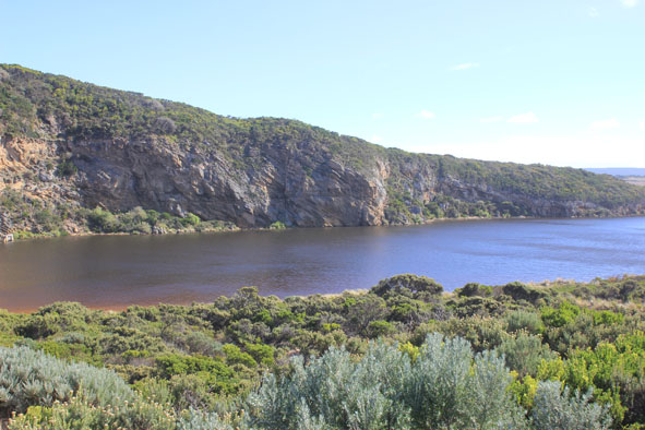
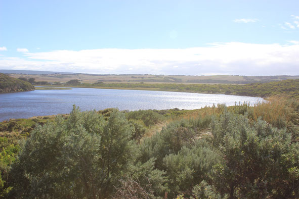
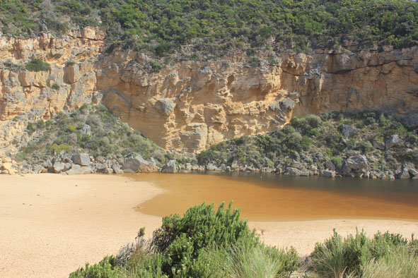
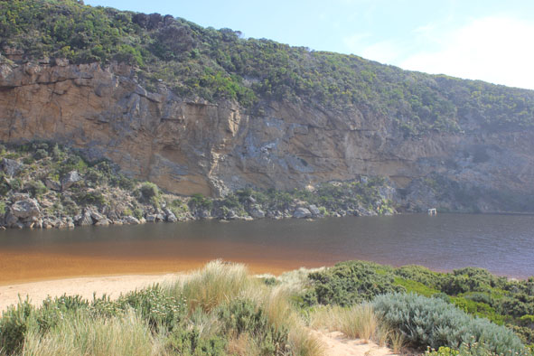
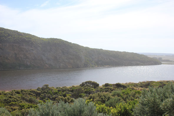
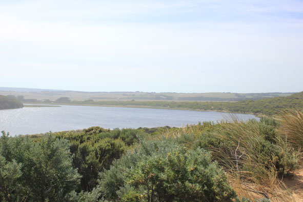
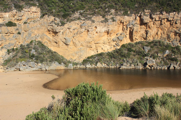
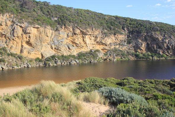
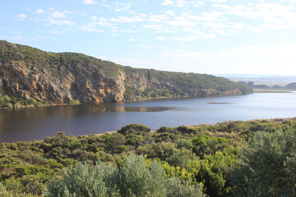
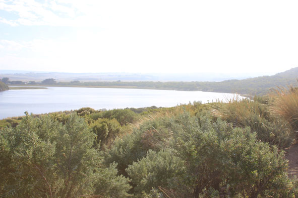
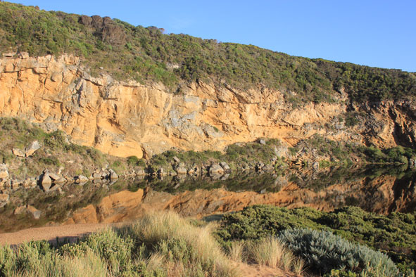
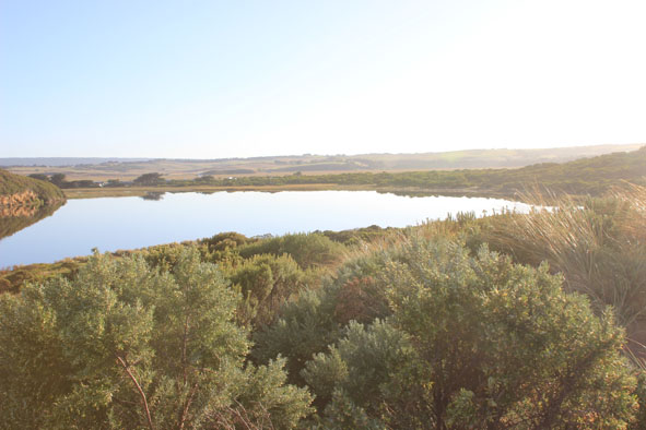
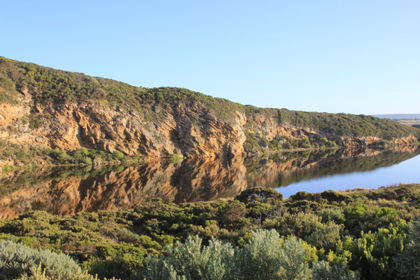
 and Gallery are subject to a Creative Commons Attribution License

Content is made available to be used in any way, and should always attribute EstuaryWatch and www.estuarywatch.org.au