EstuaryWatch Data Portal
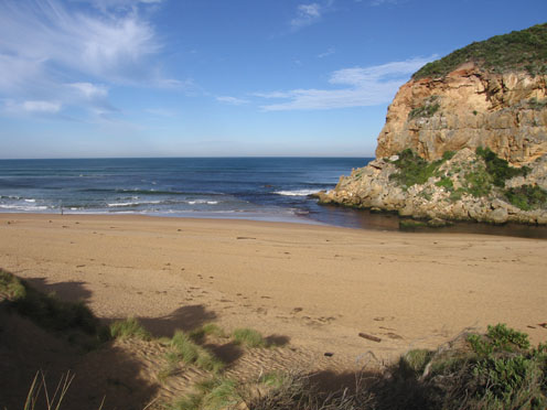
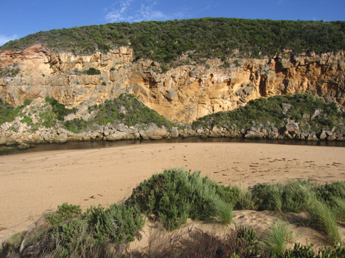
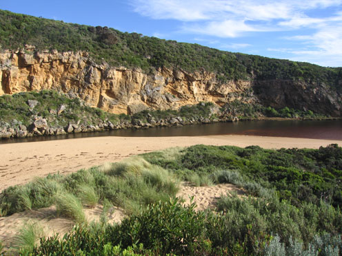
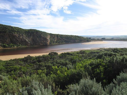
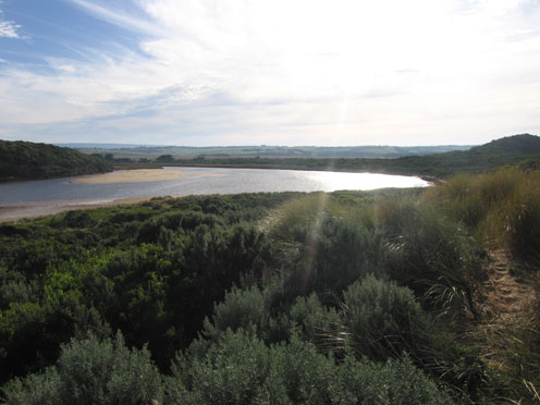
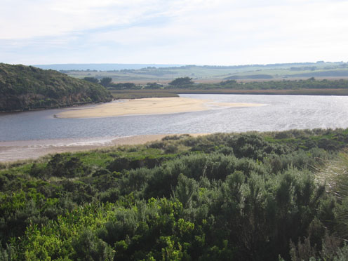
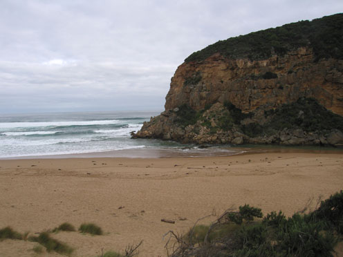
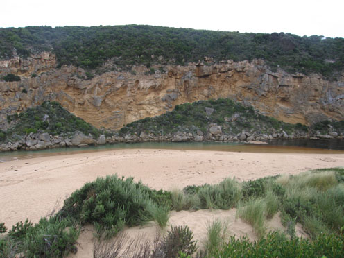
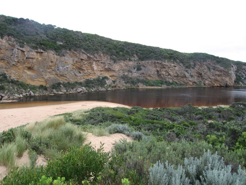
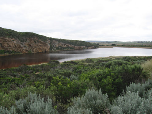
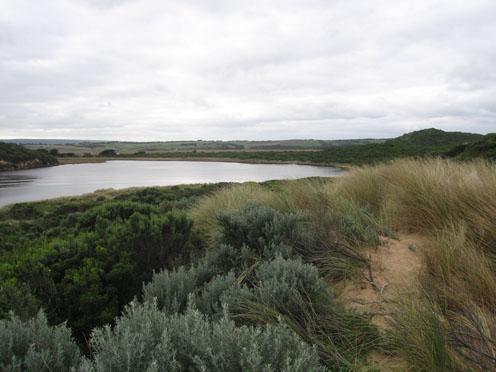
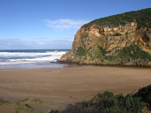
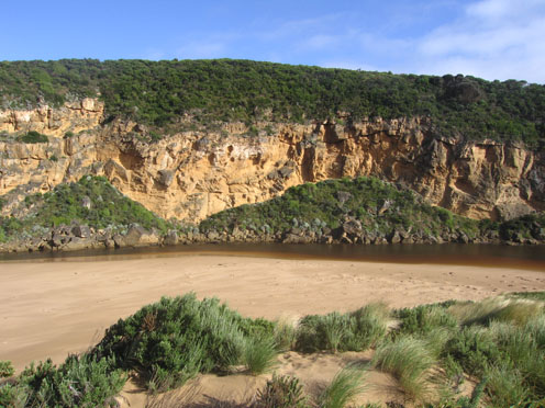
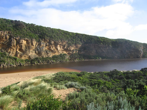
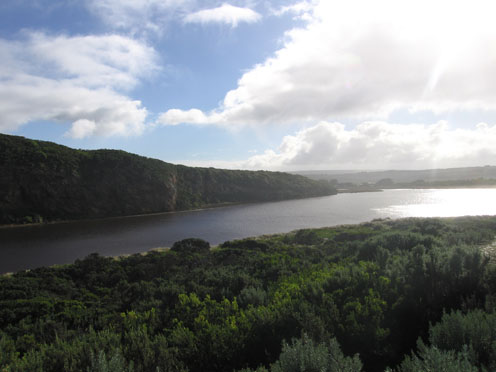
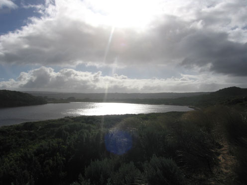
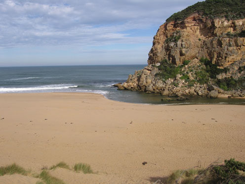
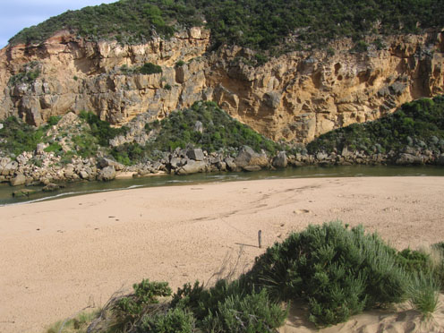
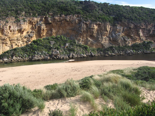
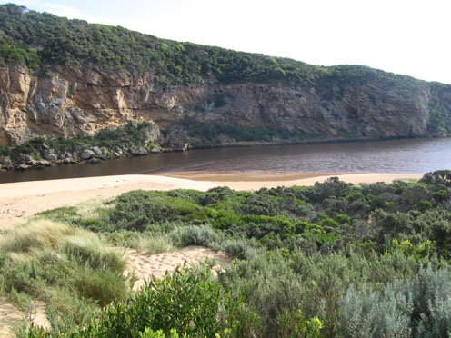
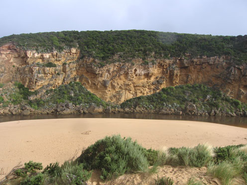
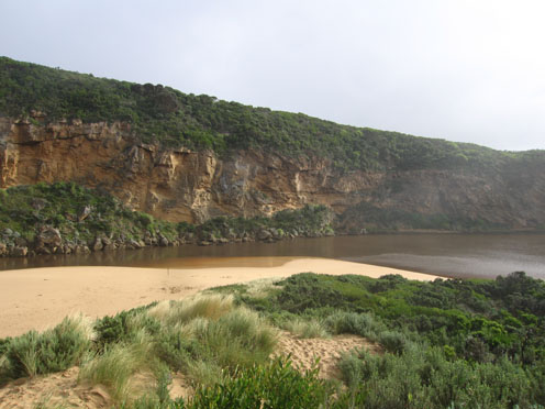
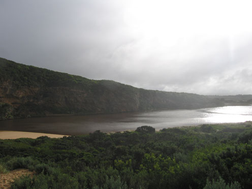
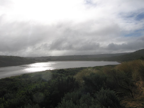
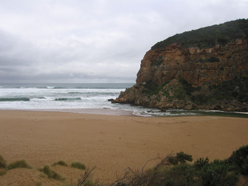
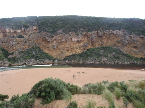
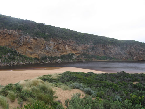
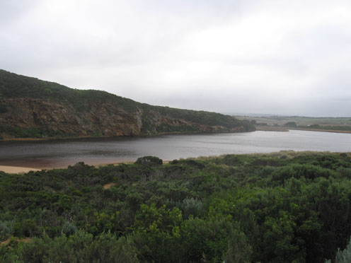
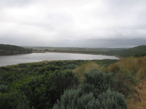
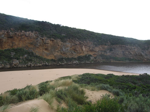
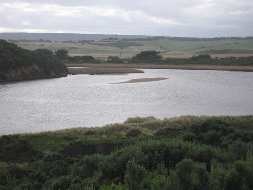
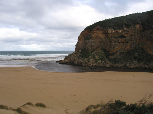
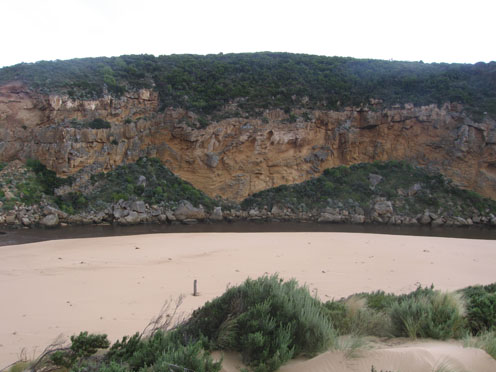
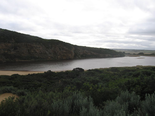
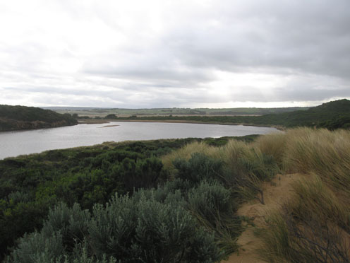
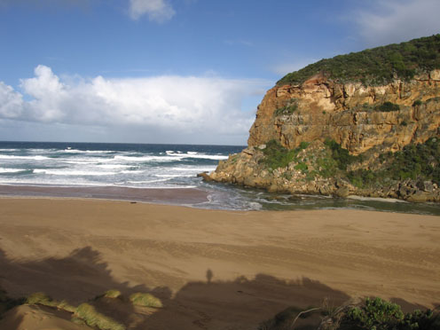
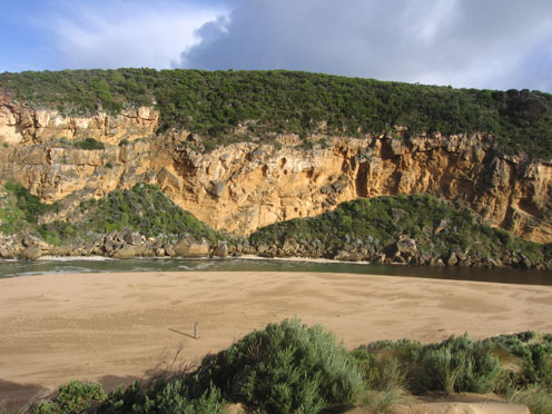
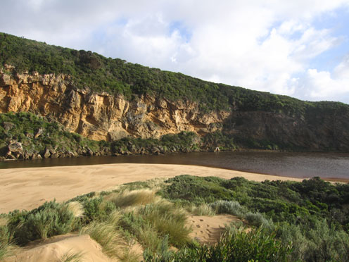
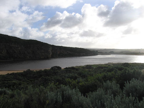
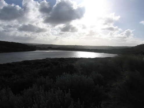
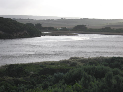
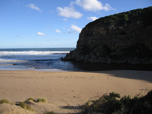
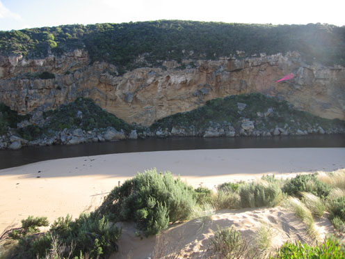
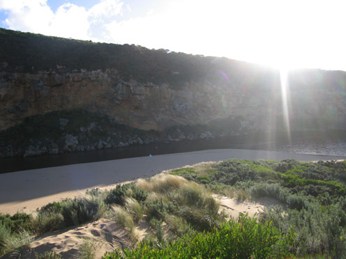
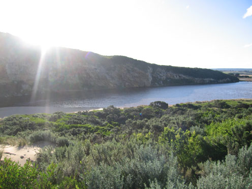
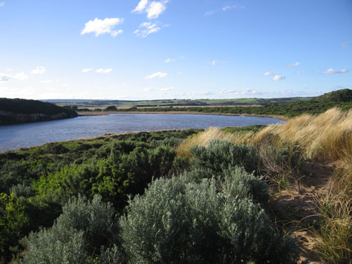
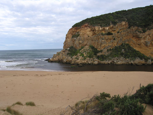
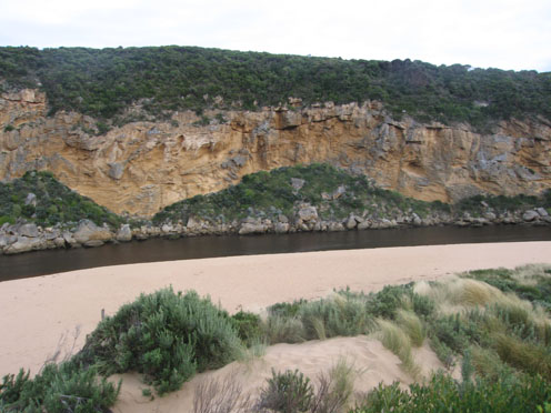
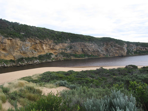
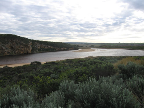
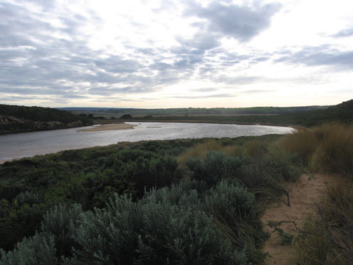
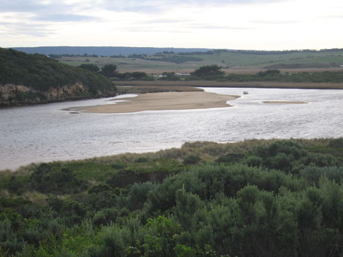
GMC Gellibrand River Estuary Mouth Observation Site
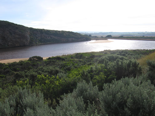
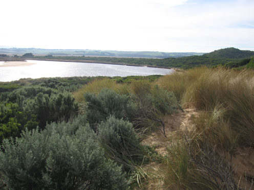
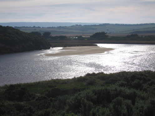
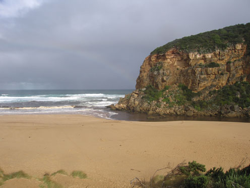
Active Mouth Condition 20-04-2007 - 19-04-2024Gellibrand River Estuary
770 results found (Displaying 231 - 240)
| ID | Date | Status | Details | |
|---|---|---|---|---|
| #5459 | 29 Apr 2011 | Approved |
Notes:
1.Dark discharge flowing out next to cliff, visiable around mouth & to east 2.Sand still visiable in front of rocks. 3.Beach very wide with gradual slope, sand visiable under water level with end of cliff 3.Strange sand patterns in channel opp. tunnel 4.Sandbar has changed shape |
|
| #5503 | 6 May 2011 | Approved |
Notes:
1. Salt water entering estuary (hi tide - 1.21) Salt fresh divide halfway between rocks & tunnel 2.Sandbar covered 3. Immature Hooded Plover east end of beach 4. Dead Penguins 2 Dead shearwater 2 |
|
| #5522 | 13 May 2011 | Approved |
Notes:
1.Dark discharge around mouth - also to east along shoreline. Discharge to west shows much sand 2.Waves circling at mouth, some waves entering channel and high up on beach 3.Beach wide with gradual slope 4. Wind & longshore drift bringing more sand into channel between rocks & tunnel 5. Water level high in estuary 6. Dead Penguin 1. |
|
| #5561 | 20 May 2011 | Approved |
Notes:
1.Salt water entering, salt/fresh divide midway between mouth & tunnel 2.Recent natural release of water has cut channel with sheer side east of rocks 3. Beach very wide, sand building up higher mid beach 4.Sand build up visiable under water at mouth 5.Sandbar in estuary exposed, also large area on east side 6.Singing Honeyeaters 3. |
|
| #5601 | 27 May 2011 | Approved |
Notes:
1.Beach very wide 2.Sand higher in area between rocks & tunnel, evidence of last tide bringing waves across that area. Waves have been up close to dunes on beach. 3. Very large cat on low track from Ocean car park. Fox prints around water's edge |
|
| #5621 | 3 Jun 2011 | Approved |
Notes:
1.Salt water entering, divide about 50m. upstream of rocks 2. Beach wide with gradual slope 3. Longshore drift bringing sand back around rocks & entrance. Hi tide has also impacted on channel upstream of rocks |
|
| #5667 | 10 Jun 2011 | Approved |
Notes:
1.Strong out flow on both sides of rocks travelling through a much wider entrance and going to east along shoreline. Colour very dark 2.Recent heavy rain has increased flow. Channel between rocks & tunnel has steep east side (1-1.5m), channel in that area is about 15-20 m wide 3.Beach very wide with gradual slope 4.Recent rough seas & hi tides have cut into sand dunes on south side of estuary and impacted on east side. Debris is piled up along bank and sand has built up in reed area 5.Small area of sandbar is exposed 6. 2 dead penguins ( one without a head) |
|
| #5701 | 17 Jun 2011 | Approved |
Notes:
1.Salt water entering estuary, salt fresh divide about 30m.downstream of rocks, east bank about 1m above water, channel in that area about 15-20m wide, flow on both sides of rocks. 2. Waves in all directions at mouth 3. Sand built up at mid beach, longshore drift & wind bringing sand back into channel, & around mouth |
|
| #5761 | 25 Jun 2011 | Approved |
Notes:
1.Discharge around mouth & to east & west 2. Channel wide about 15-20m & flowing strongly. East bank straight sided 1 to 1.5 m. high 3.Longshore drift back to mouth from mid beach 4.Large amount of foam & silt at eastern end of beach |
|
| #5764 | 2 Jul 2011 | Approved |
Notes:
1.Discharge around mouth & out to sea - both east & west 2.Channel 20m. with 1-2m. steep east bank (Top shows interesting erosion shapes.) 3.Longshore drift returning to mouth. 4.Surfers (4) in waves around mouth area 5.Seagrass showing signs of re-growth along eastern edge of estuary. 6.Banded Rail at carpark 7.Cat, dog & fox prints around estuary |
|

All content, files, data and images provided by the EstuaryWatch Data Portal and Gallery are subject to a Creative Commons Attribution License
Content is made available to be used in any way, and should always attribute EstuaryWatch and www.estuarywatch.org.au