Gellibrand River Estuary

Download

770 results found (Displaying 371 - 380)
ID Date Status Details
#8456 17 Aug 2013 Approved Notes:
  • Strong flowing dark discharge out around mouth & west but mainly to east
  • Waves from very rough sea high up on beach & entering channel then travelling down channel to estuary where they are met by wind driven waves from the strong north wind
  • Strong longshore drift toward mouth
  • East end of ocean beach has increased in height & width, sand now sloping down toward mouth
  • Waves in all directions at mouth, also dramatic change in wind direction -especially in the estuary
  • Flooding in all areas but no water over roads.
#8461 19 Aug 2013 Approved Notes:
  • High sea entering & very strong outflow completely across entrance, waves in all directions in channel then turning east into estuary where they impacting on south & south east sides where much damage has occurred from recent even higher sea & tides
  • Dunes east side of channel & south side of estuary greatly reduced
  • Waves up to dunes on ocean beach which is covered with foam
  • Water very deep over low track & up to car park
  • No water over roads but some run off from heavy rain is running in 2 channels cut across the OOR previously
  • but levels at G4 are lower than at17/08/13
#8467 24 Aug 2013 Approved Notes:
  • Strong dark outflow well out to sea
  • Mouth very wide with waves in all directions (some small ones entering down left side of channel) Longshore drift very active
  • Waves up to base of dunes with sheer sand cliffs cut
  • Ocean beach covered with foam & east end covered by dark silt & debris
  • Severe erosion in areas along low track & debris piled up to 1m.high in places
  • Recent high seas have further reduced sand dunes east of channel & south side of estuary
#8469 30 Aug 2013 Approved Notes:
  • Mouth wide, strong flowing dark discharge around entrance, out to sea & to east. Waves in all directions, longshore drift active
  • ( but many changes in direction in the estuary)
  • East end of beach is wider with increased height
  • Flood waters reducing, water no longer over bridge deck at G4
#8475 6 Sep 2013 Approved Notes:
  • Dark discharge only out around mouth. Water very reddish brown in colour
  • Flow reducing & sand building up from very rough seas around mouth & along channel
  • Waves in all directions, including in channel. Strong longshore drift
  • Waves severely impacting sand dunes on ocean beach near mouth
  • Ocean beach is higher & wider at east end
#8490 13 Sep 2013 Approved Notes:
  • Out flow reducing, dark discharge only around mouth & slightly to east
  • Ocean beach is horseshoe shaped with sand higher & wider at east end, sand cliff at base of dunes remains about mid beach (about 2.5-3m high)
  • Sand bar well exposed in estuary (low tide)
#8504 22 Sep 2013 Approved Notes:
  • Strong outflow from recent rainfall, dark discharge around mouth, out to sea, to west and to east
  • Waves in all directions at the mouth, strong longshore drift
  • Side of channel near mouth has 1m. high sheer side on east
  • many broken shells in previously high wave impacted area east side of estuary(low Track)
  • Stick caddis (5) south east side of estuary
#8508 27 Sep 2013 Pending Notes:
  • Dark discharge out around mouth & to the east
  • Gale force winds & very rough seas (26/09/13) have severely impacted the sand dunes all along the ocean beach- high sheer face to dunes (from 2.5m to 4m. high)
  • East end of ocean beach 'carved out' & still covered with silt & foam
  • Large waves have entered the estuary causing more damage to low track (unusually very soft sand in area)
  • Large area of exposed sand south side of estuary & sand dunes further reduced
  • Peregrine falcon in estuary
#8513 3 Oct 2013 Approved Notes:
  • Strong dark out flow despite rough seas
  • High seas & wind gusts to 10 on 02/10/13 resulting to considerable damage to dunes both near ocean & in estuary. Low track covered with debris & seaweed
  • Mouth very wide, waves up to base of dune have created a sheer face over 2m high. This continues to east where it is even higher
  • dark shearwater
#8526 11 Oct 2013 Approved Notes:
  • Dark reducing discharge around mouth & to east & west
  • Waves entering channel & estuary
  • Damage to dunes on ocean beach continues, vegetation being swept around into estuary where damage to low track has increased
  • 2 dead black Shearwaters along ocean beach
Creative Commons CC BY
All content, files, data and images provided by the EstuaryWatch Data Portal
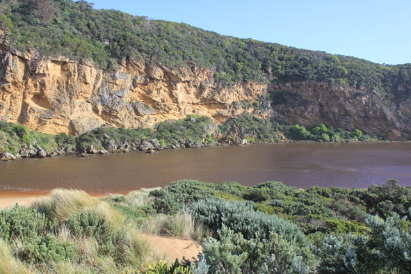
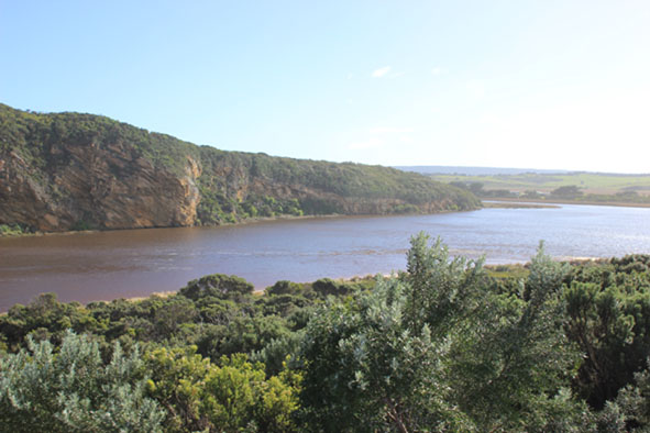
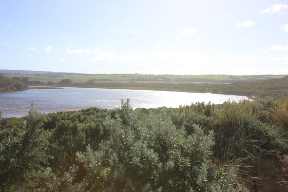
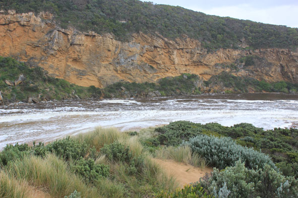
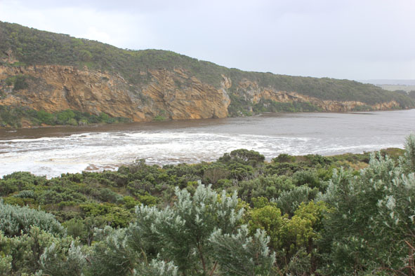
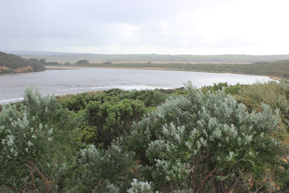
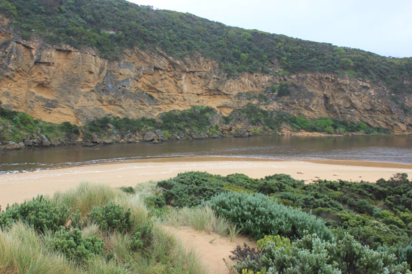
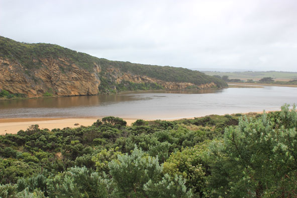
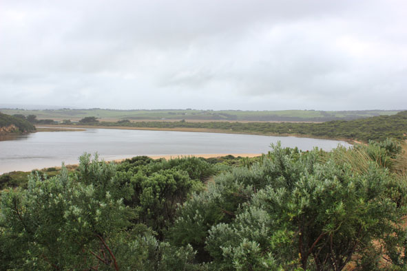
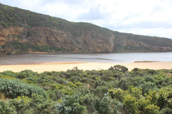
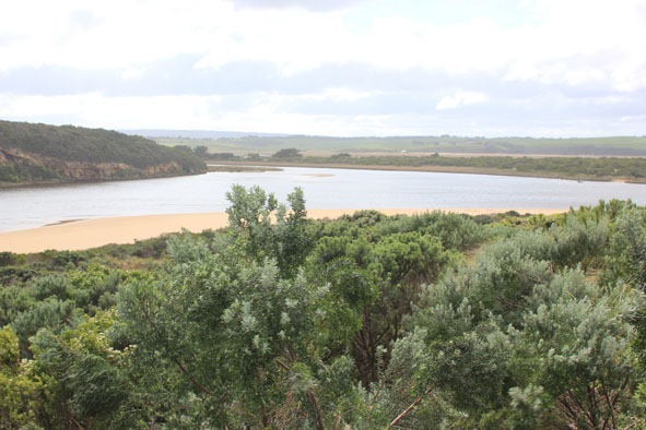
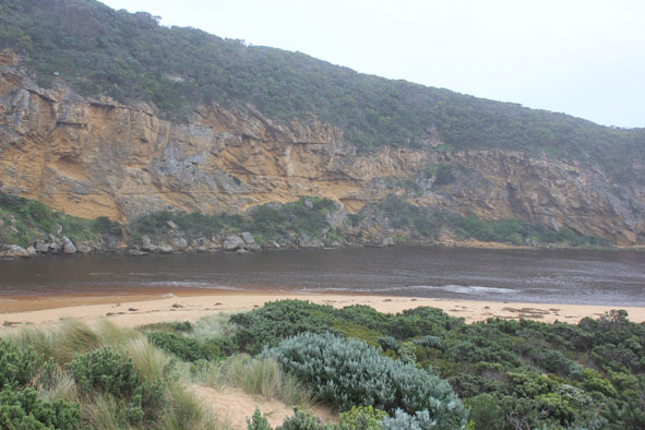
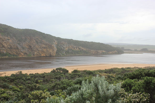
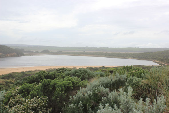
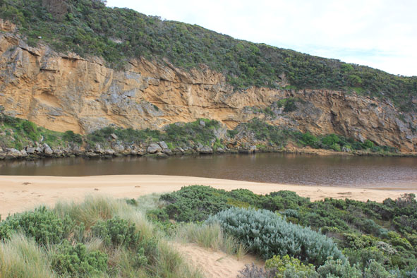
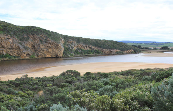
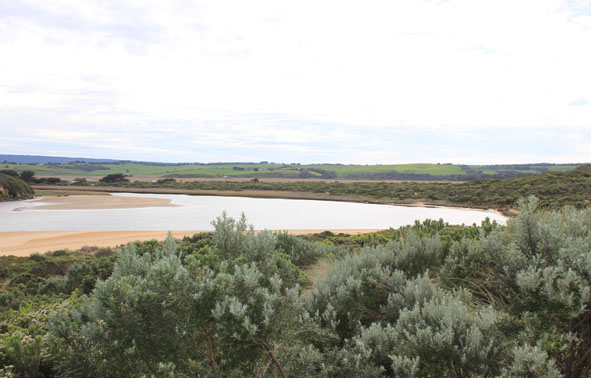
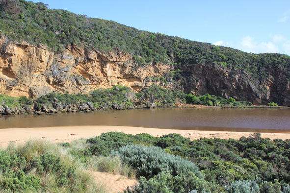
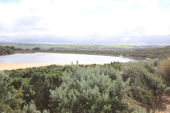
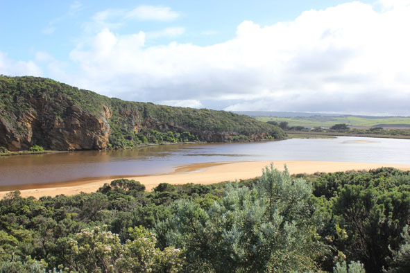
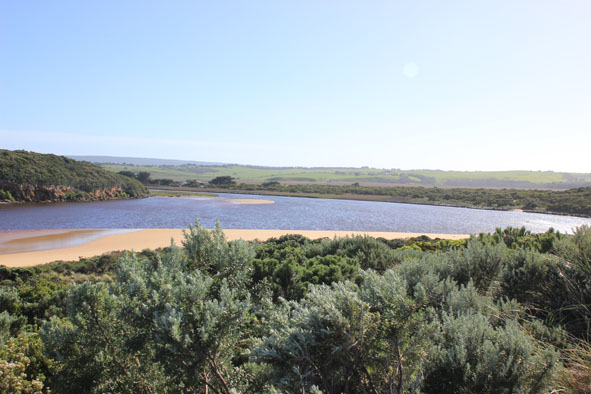
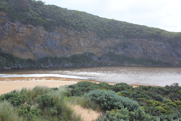
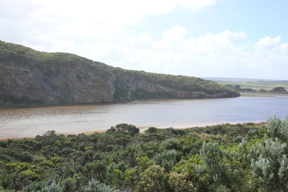
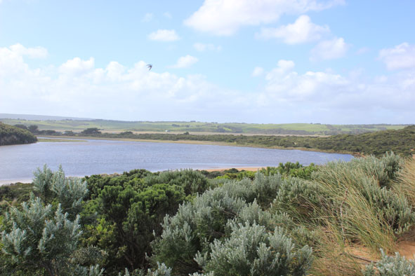
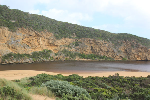
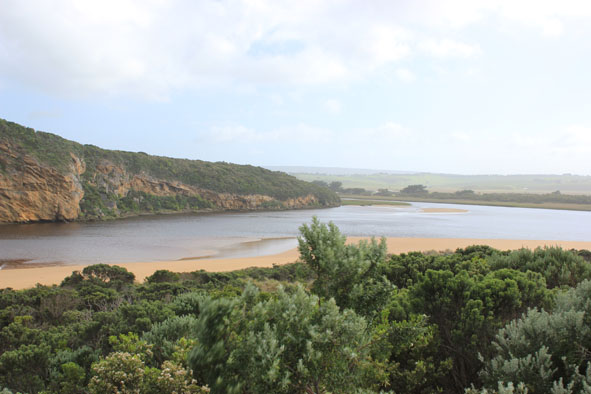
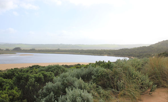
 and Gallery are subject to a Creative Commons Attribution License

Content is made available to be used in any way, and should always attribute EstuaryWatch and www.estuarywatch.org.au