EstuaryWatch Data Portal
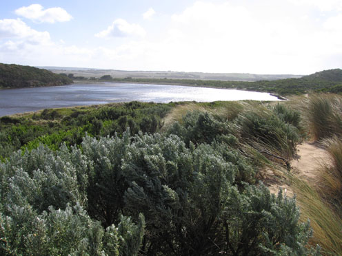
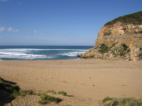
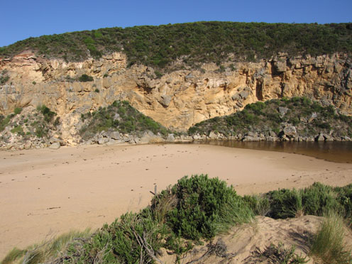
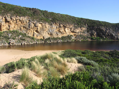
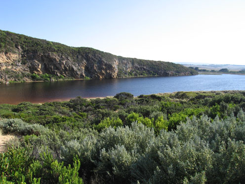
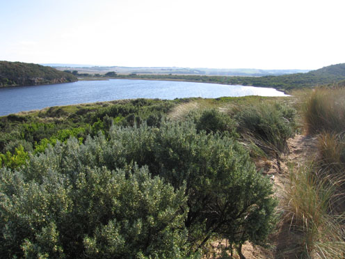
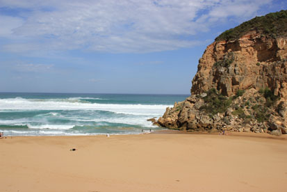
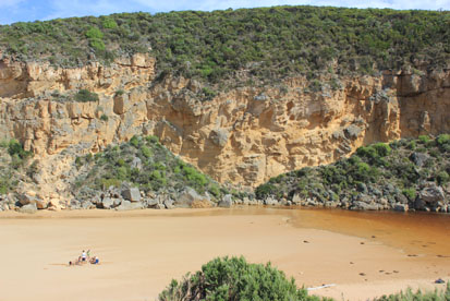
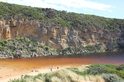
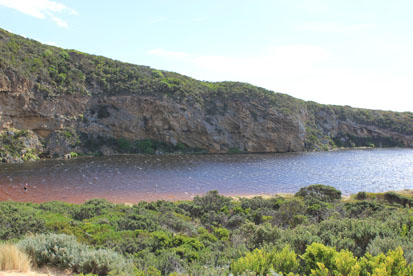
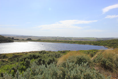
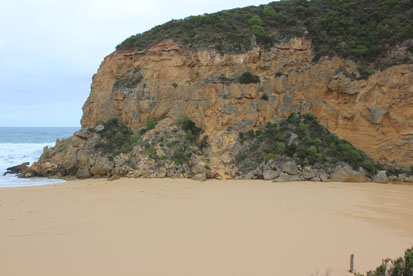
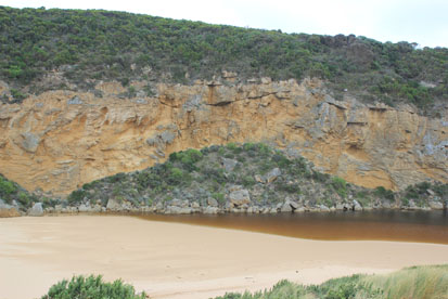
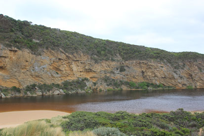
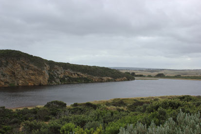
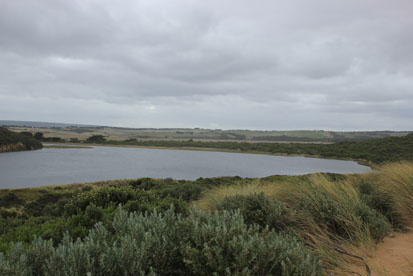
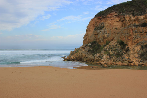
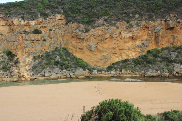
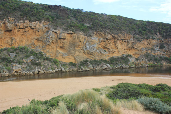
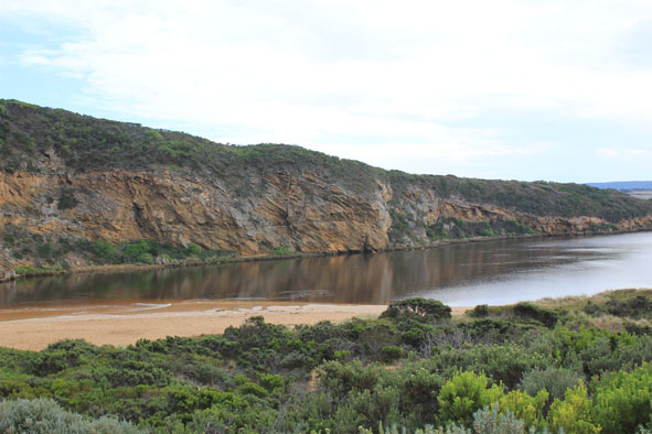
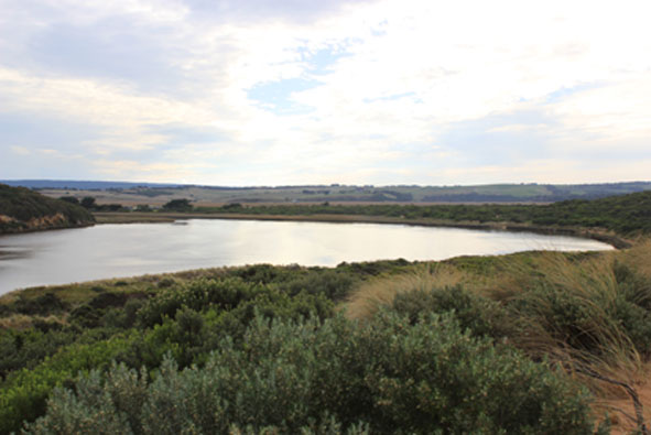
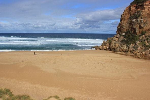
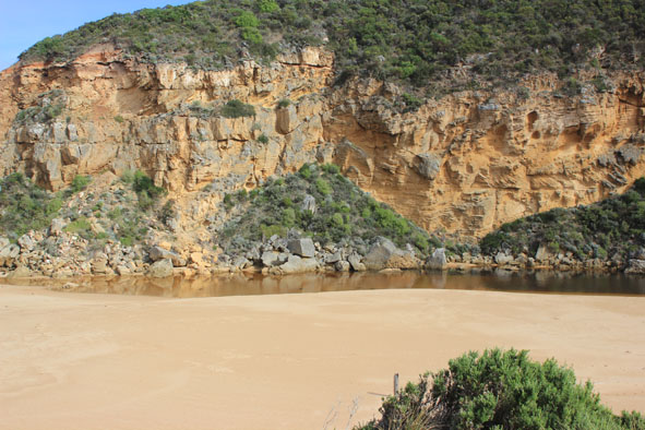
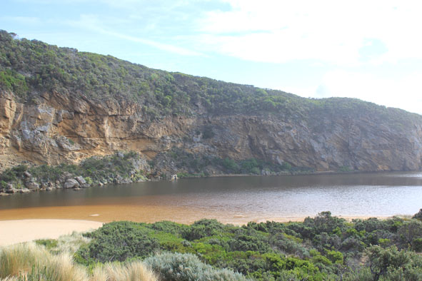
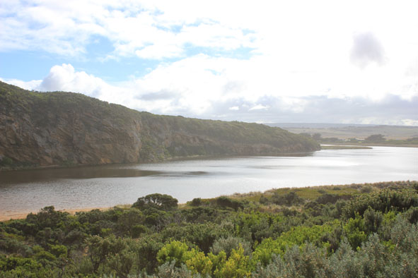
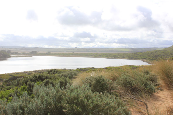
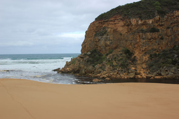
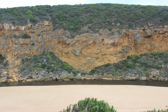
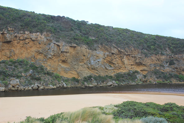
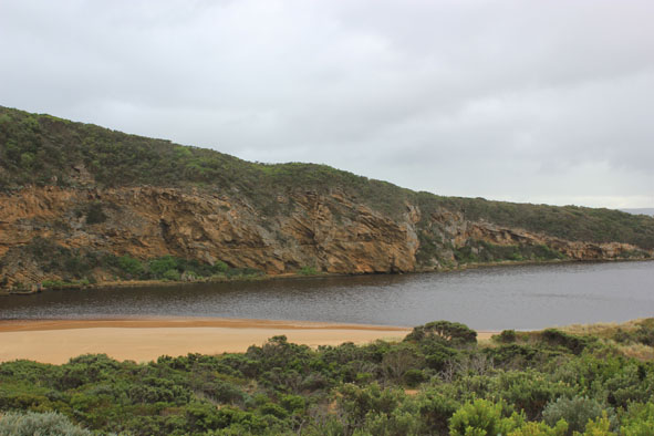
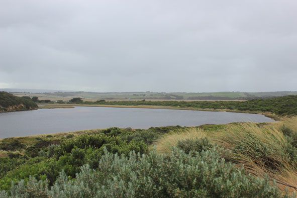
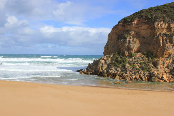
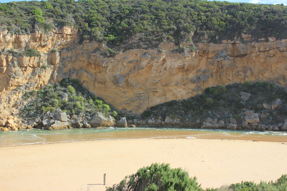
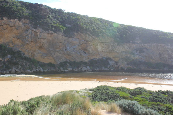
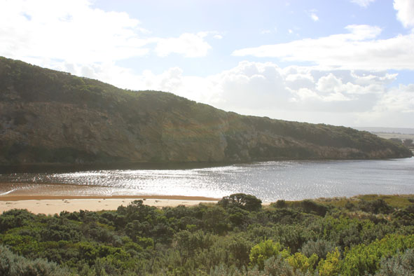
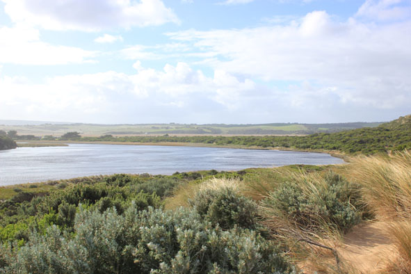
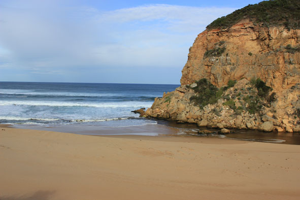
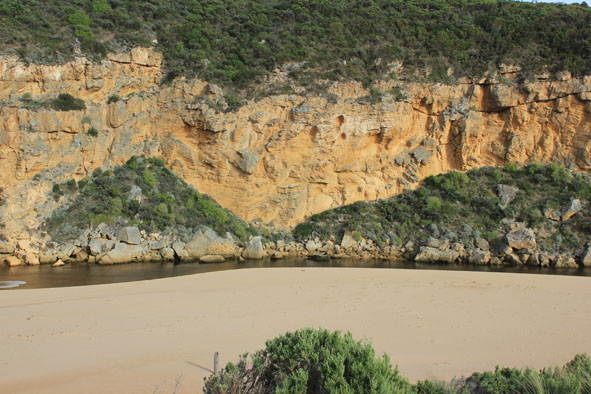
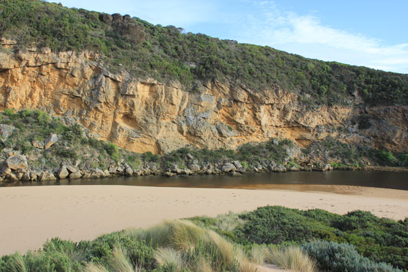
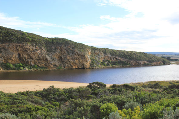
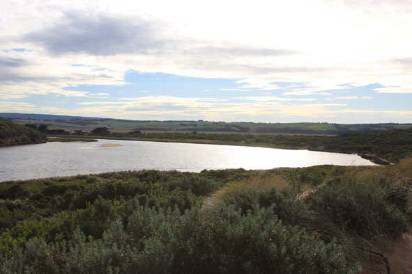
GMC Gellibrand River Estuary Mouth Observation Site
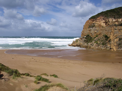
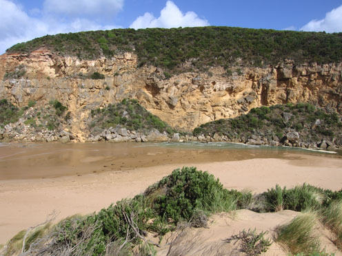
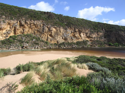
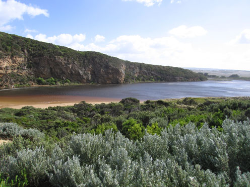
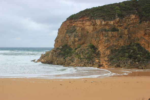
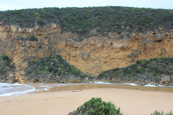
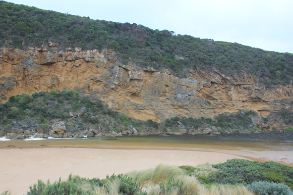
Active Mouth Condition 20-04-2007 - 19-04-2024Gellibrand River Estuary
770 results found (Displaying 281 - 290)
| ID | Date | Status | Details | |
|---|---|---|---|---|
| #6942 | 23 Mar 2012 | Approved |
Notes:
1. Salt water entering over very shallow/ exposed area. Salt water visiable 2/3rd way to tunnel 2. Gale force winds 3. Waves up to base of dunes on ocean beach 4. Waves 20-30cm in estuary -visiability reduced because of spray & wind driven sand 5. Slight increase in area of recent rock fall 6. Rainfall since 21/03/12 = 40 ml. |
|
| #7022 | 30 Mar 2012 | Approved |
Notes:
1.Waves over berm, also along beach & behind rocks at hi tide 2. Water up to ocean car park but not across hi track 3. dead eels 3. 4. Beach curved with strong slope to sea 5. Wide spaced swell with occasional waves to 4m. |
|
| #7023 | 6 Apr 2012 | Approved |
Notes:
1.Mouth perched -sea entering over berm which has increased in height and width. Some return 2.Berm lower near cliff - about 1m. above water 3.River about 20 cm below berm 4.Waves going high up on beach. Swell wide spaced - waves up to 4m+ |
|
| #7042 | 12 Apr 2012 | Approved |
Notes:
1. Mouth barred 2. River widening 3. Berm lower close to cliff 4 High water level. Flooding in camping ground & water across OOR & OCR |
|
| #7082 | 20 Apr 2012 | Approved |
Notes:
1.Artificial opening 13/04/12 2.Mouth open -salt/waves entering channel & estuary. (water about 20m across mouth at times) Some salt return along a narrow 4-5m wide/shallow channel against rocks 3.Salt water visiable in channel -up to half way between mouth & tunnel 4.Sheer sided bank to channel reaching 1.50m at mouth (from artificial opening) 5.Sea rough -waves hi up on beach & in all directions at mouth -longshore drift bringing back more sand. 6.Beach gradual slope but rises much higher near mouth 4 |
|
| #7109 | 27 Apr 2012 | Approved |
Notes:
1.River barred 25/4/12 2.Some waves over berm. River perched 3.River within 8m of sea. Gradual slope down 4.Rainfall 48ml since 21/4/12 5.Many small fish near mouth |
|
| #7114 | 4 May 2012 | Approved |
Notes:
1. Mouth opened mid day 03/05/12 2.Waves entering estuary & swirling around rocks. 3.Mouth about 20m wide. Sheer channel banks from 2m at start to about 1m downstream rocks 4.Waves in all directions. Longshore drift colliding with incoming sw swell 5.Waves up to dunes at east end of beach but not near sand build up at mouth 6.Water receeded in estuary -lots of dark brown rotting vegetation left along east side |
|
| #7129 | 12 May 2012 | Approved |
Notes:
1.Rough sea with waves entering estuary. Salt water visiable moving back & forth almost to tunnel 2.Waves in all directions at mouth,entering to a width of about 30m. 3.Waves impacting on sand build up east of mouth & carrying sand into channel. Sand build up around rocks is decreasing width of channel (about 5m.) 4.Waves along shore from east to west coliding with s.w. swell 5.Water high on e.side of estuary |
|
| #7143 | 18 May 2012 | Approved |
Notes:
1. Some flow out but waves entering channel - darker discharge only around mouth(shoreline) 2.Only small amount of flow from upstream 3.Sand build up increased around mouth & rocks. 4. Steep bank to channel (30cm at start up to about 80cm near mouth) 5.High sand east of mouth being eroded by waves - travelling back toward mouth 6. Beach - undulating terraine -highest near mouth 7.Sandbar in estuary exposed but water covering area of low track |
|
| #7189 | 25 May 2012 | Approved |
Notes:
1.Mouth barred but large waves crossing bar. No fresh return. Green water at start of estuary 2.Steep front to beach. Sand higher near mouth and nearly covering small rock. 3.South wind (gusts up to 8) driving waves & sand to mouth 4.Water from rainfall run off (52ml. over night) covering large areas of camping ground and tracks to beach but not over any roads |
|


All content, files, data and images provided by the EstuaryWatch Data Portal and Gallery are subject to a Creative Commons Attribution License
Content is made available to be used in any way, and should always attribute EstuaryWatch and www.estuarywatch.org.au