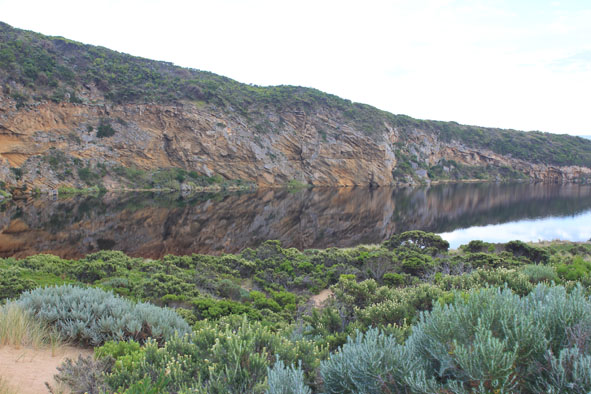
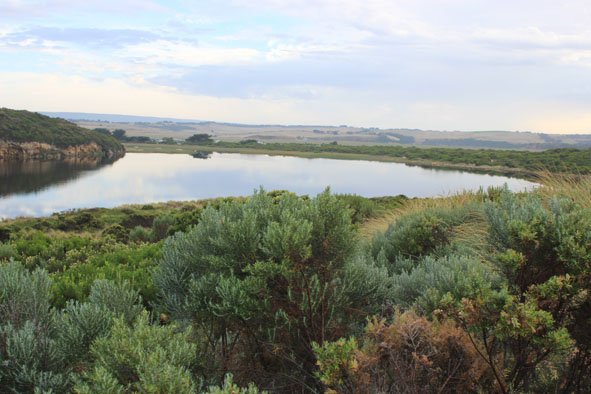
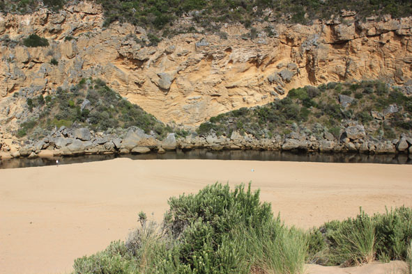
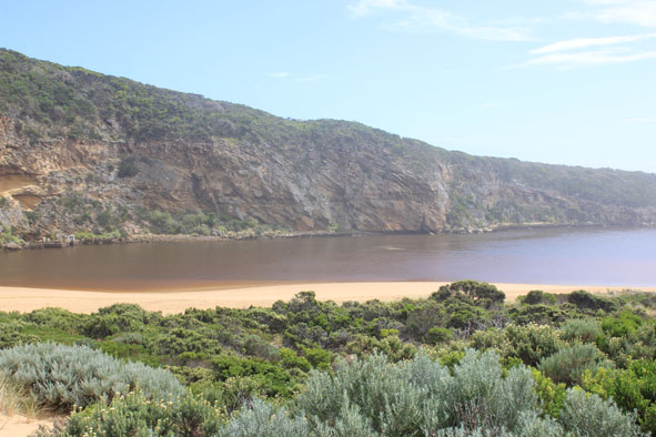
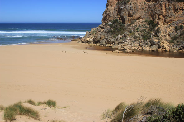
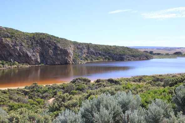
| #8131
|
20 Feb 2013
|
Approved |
Notes:
- Beach has changed. Waves are comming over the berm accross a long area.
- Close to the sea, a dip mid berm remains.
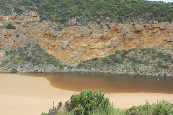
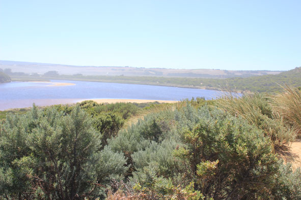
- Estuary front changed, main area further back into estuary with an "exctended arm" against cliff face, terminating in old rock fall about 28m in front (toward sea) of main part of estuary.
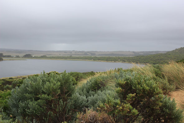
- 12 pelicans and huge number of wader birds in flooded areas.
- Deakin staff testing water.
|
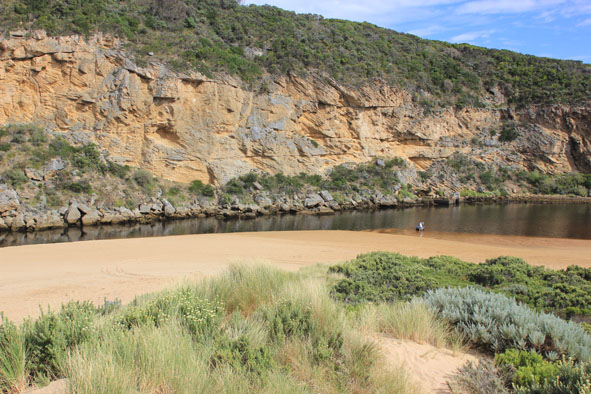
| #8132
|
22 Feb 2013
|
Approved |
Notes:
- ARTIFICIAL PERMIT OPENING complete 10:00am
- No time to take berm measurements. Berm dips in the middle.
- Water very dark and smelly, algae forming in pools in the wetland.
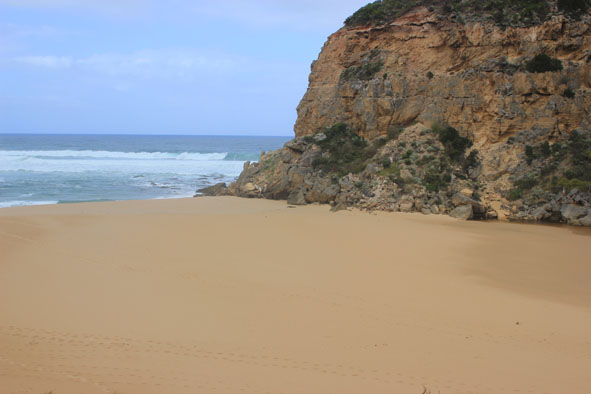
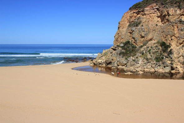
- Beach wide with gradual slope.
- A.O started at 8:50- complete at 10:00.
- Berm had large depression midway.
- Water starting to enter at the west end of the camp ground.
- Strong easterly wind (5) 21/02/13.
- No water over the OCR between camp ground and GOR. Water over OCR south of camp ground.
- slight increase in water on flats upstream.
|
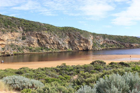
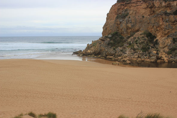
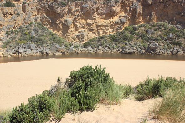
| #8134
|
23 Feb 2013
|
Approved |
Notes:
- Fish death event. 145 fish collected, 100's more small dead fish along each side of estuary around G2.
- After the artificial opening the water level dropped by a metre over night.
- Some dead fish on ledge near entrance suggest that many fish have gone out to sea in the strong current. (discharge straight out to the south).
- Fish death event mainly from stranding by sudden water level drop and caught in vegetation and algae. Oxygen levels were also very low (0.55mg/L at G2)
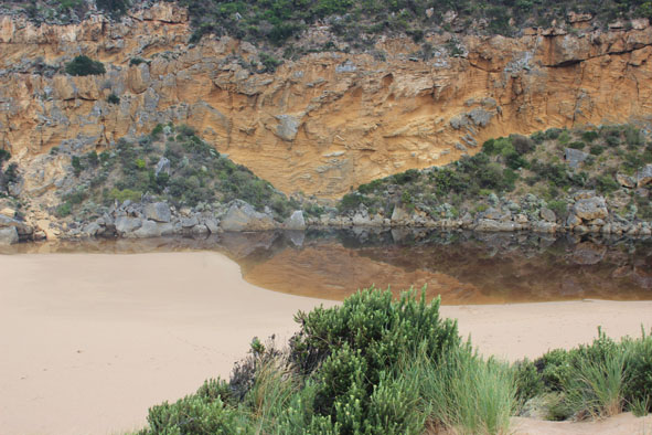
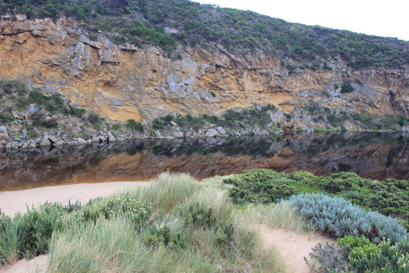
- Banks of channel about 0.3m near the estuary, rising to 3.5 near ocean. The channel is 20-30m wide near the ocean.
- Discharge around the mouth and south out to sea for over 100m.
- Sand from longshore drift building up on east side of entrance.
- Rocks isolated in centre of channel.
- Jet Ski very fast through estuary mouth. Waves sending fish back into stranded areas.
|
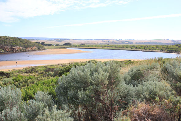
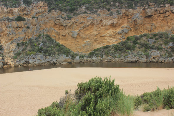
| #8136
|
24 Feb 2013
|
Approved |
Notes:
- G2 D.O mg/L 1.10 at top and 0.24 at the bottom of the water column.
- Massive fish death, all sizes form 5cm- 30cm, dead on the banks and floating down channel (120 dead fish past in channel during 20mins)
- Estuary mouth still wide with 2m sand cliffs either side.
- Outflow strong, going out south and to the east.
- Sand east side of entrance increasing into channel.
- Water level extremely low, sand bar completely covered with birds and dead fish.
- West bank (below cliffs) littered with 100's of large dead fish (40m long area).
|
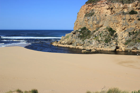
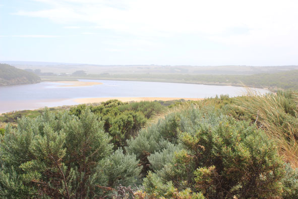
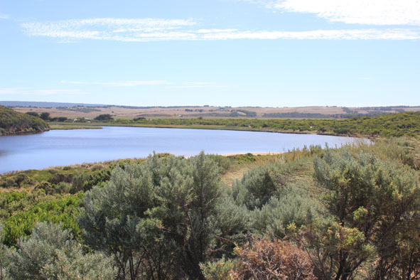
| #8206
|
26 Feb 2013
|
Approved |
Notes:
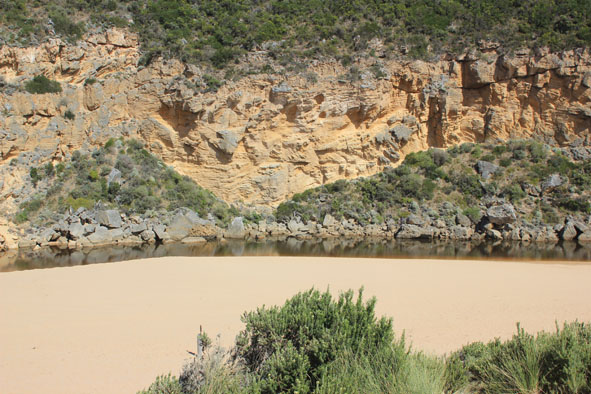
- sand channel is increasing.
- very shallow close to the sea.
- actual channel is only about 3-4m in front of rocks.
- no sign of dark discharge.
- long shore drift is very active.
- very shallow and close to sea.
- green water up to and around rocks where sand is starting to build up.
- last high tide has washed 1000's of fish back on sand bar and forced some into channel between sandbar and cliff.
- bird fox and cat prints (many prints) have cleaned up dead fish on east side of estuary.
|
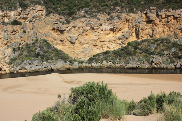
| #8184
|
27 Feb 2013
|
Approved |
Notes:
- strong longshore drift increasing sand build up at the mouth and rough sea.
- mouth almost closed again. Waves cover area but channel only about 3-4m wide between rocks and sea.
- depth about 0.50-1.0m but very shallow at closest to sea.
- old dead fish have been washed up in new areas by waves entering.
- birds, foxes and cats have been working on remains but still huge amount left.
- estuary is stinky and littered with dead fish.
- water has surface scum.
|
| #8183
|
28 Feb 2013
|
Approved |
Notes:
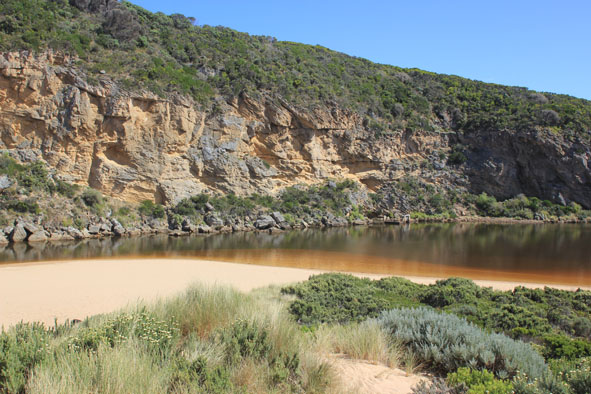
- waves entering estuary- salt green water to 20m upstream of rocks.
- long shore drift active, sand building up continues.
- 1cm spring fed by both spring and estuary S/E side of estuary.
- dog tracks around estuary.
- increase in silver gulls, over 50 present. Other birds still on and around sand bar.
- White Ibis in reed where large mass of dead fish are.
- stangre jelly fish on beach at entrance.
|
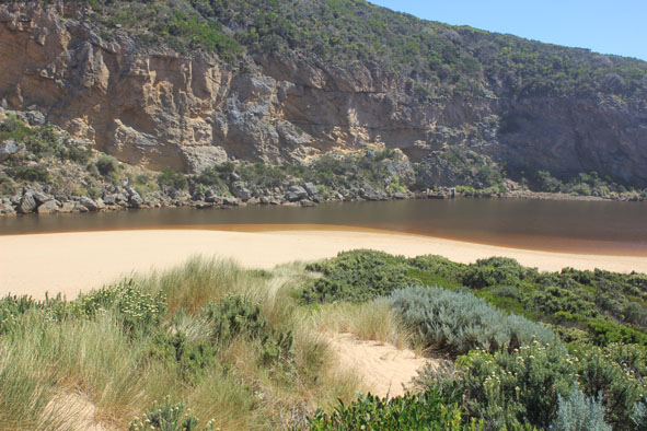
| #8137
|
2 Mar 2013
|
Approved |
Notes:
- Dark discharge out east along foreshore then to the south, seems to be following current of beach which is horseshoe shaped, with a gradual slope and every windswept.
- Wave mid way up at last high tide.
- longshore drift over sand building at mouth into channel which is wider and deeper.
- High sand cliffs (1.20m) remain about 20m east of channel.
- Channel outflow downstream of rocks is very close to cliffs and works its way through rocks below end of cliff.
- No. of birds similar to 01/03/13 but now 12 "fat" cormorants and more ibis.
|
| #8141
|
4 Mar 2013
|
Approved |
Notes:
- No water from estuary going out to sea. No sign of any discharge.
- Sand bar area reduced.
- Sand visible in breakers s/w of entrance.
- Number of birds greatly reduced, European wasps working on dead fish.
- Reddish brown foam and "chopped" seagrass along S/E side of estuary and near estuary mouth.
- Dark brown sediment/algae in above area.
- Some dead fish remain S/E side of estuary.
- Dead eel near G2 (floating mid channel, moving up stream with wind)
- Large tiger snake on low track.
- Jet ski out over berm.
- Polystyrene pieces along S/E side of estuary (about 3cm in size).
|
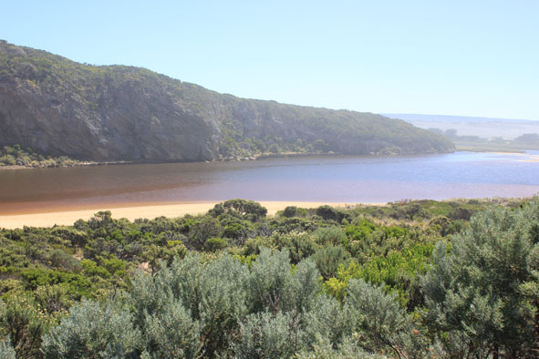
| #8143
|
6 Mar 2013
|
Approved |
Notes:
- Dead fish now under water, very few on sand.
- Mouth of the estuary is barred again.
- Berm length from estuary to the top of the berm has decreased since 4.03.2013
- Beach wide and sloping.
- Waves have come over berm .
- Sand still visible about 20-30m out (near estuary mouth), in area where longshore drift cuts across S/W waves.
- 46cm dead and decomposing water rat east of channel near tunnel.
- About 50 + coots feeding along cliff base, west side of estuary. Nearly all other birds have gone.
- Sandy beach , south side of estuary covered by water.
- Large area of lower track under water.
- Many 1-3cm fish in deep areas.
|