EstuaryWatch Data Portal
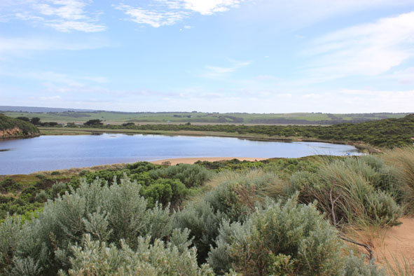
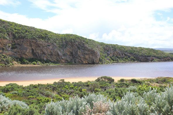
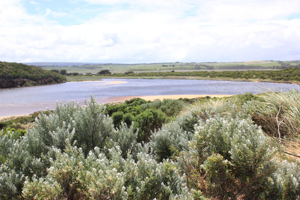
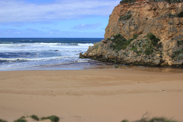
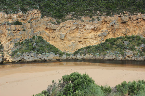
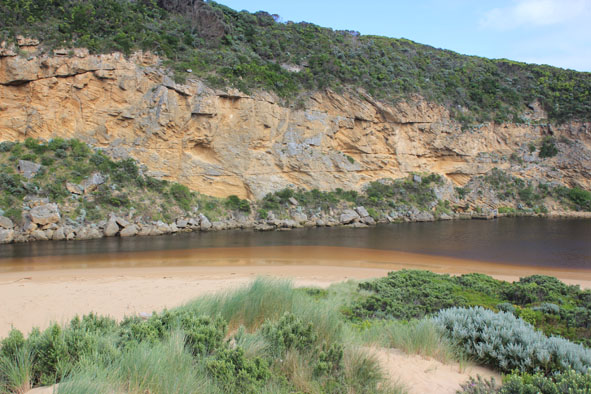
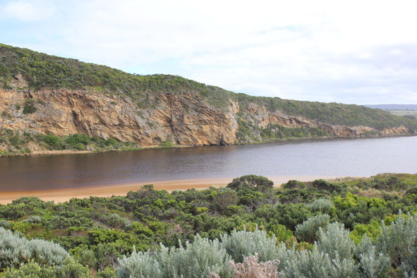
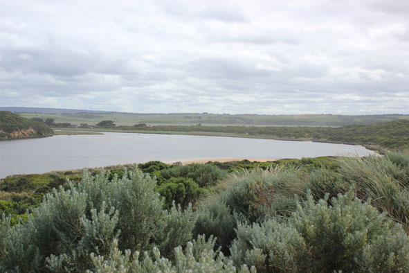
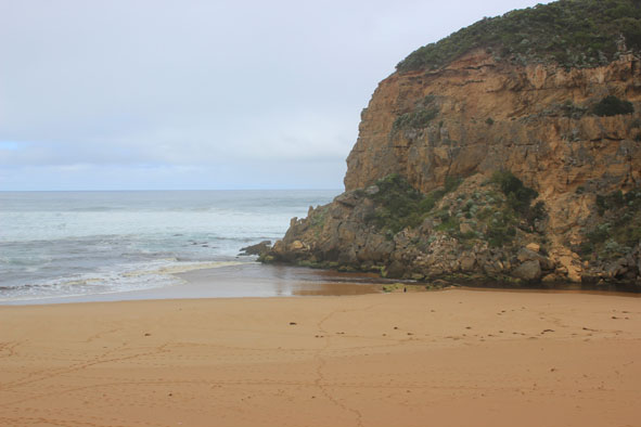
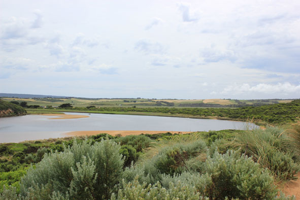
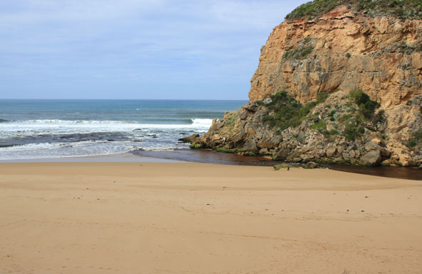
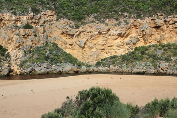
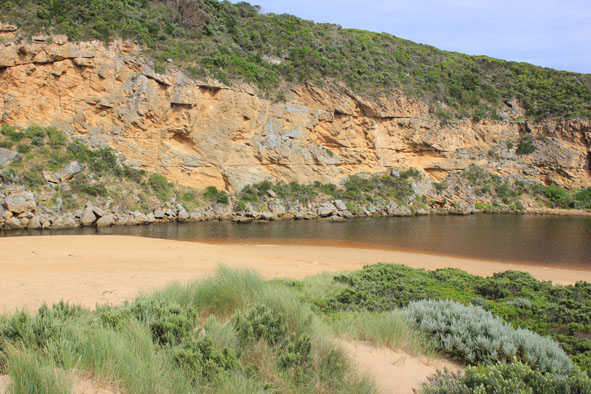
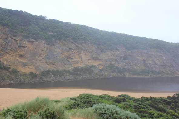
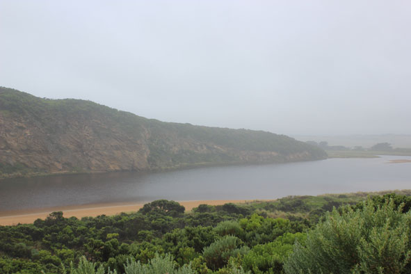
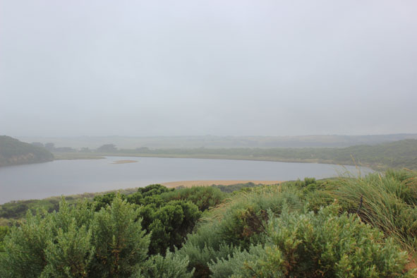
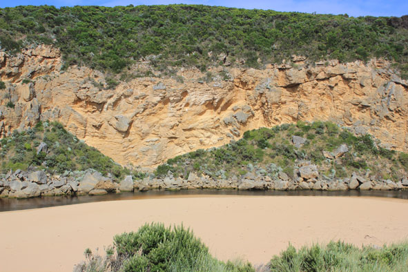
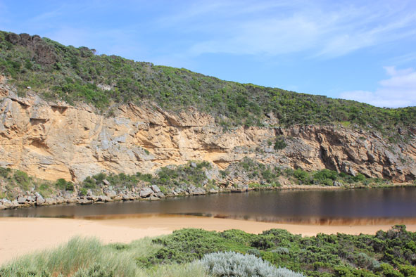
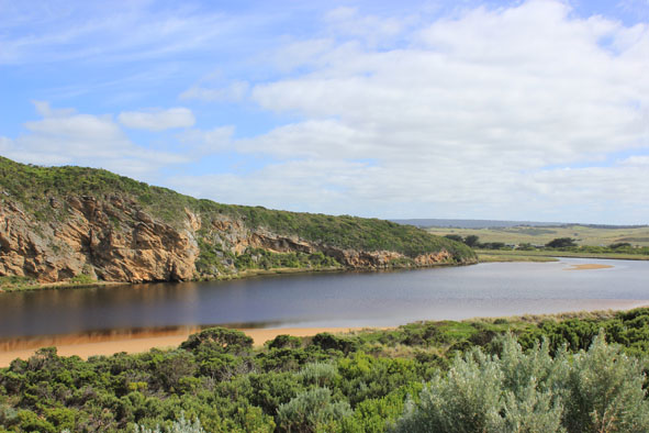
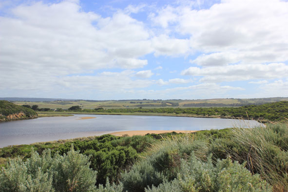
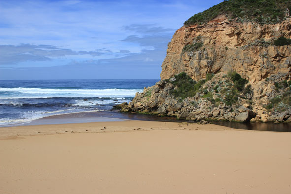
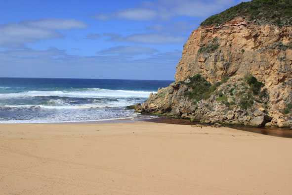
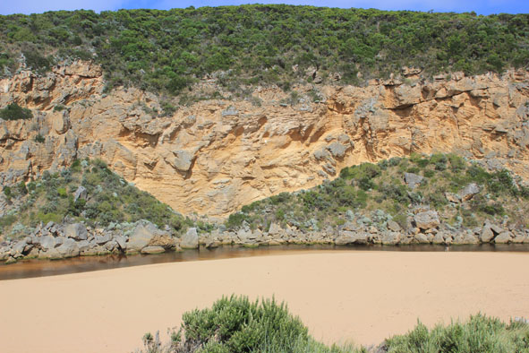
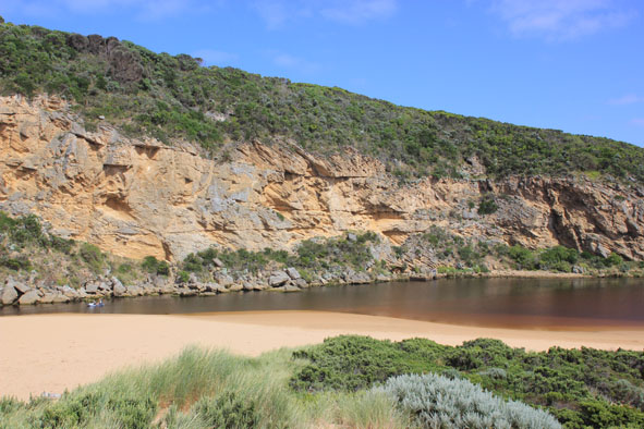
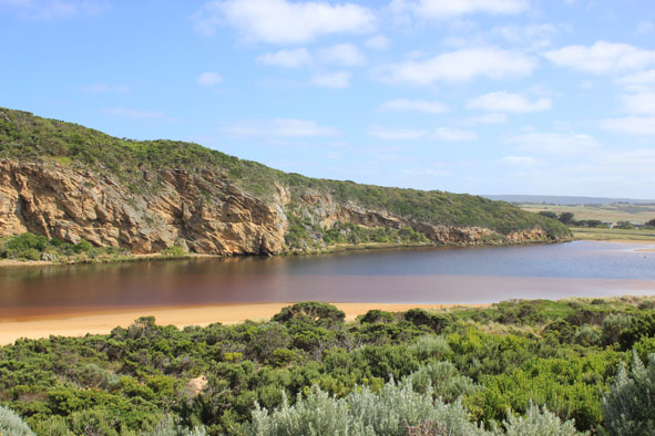
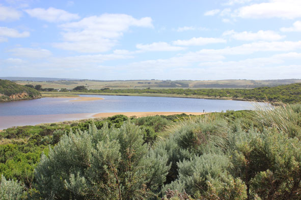
GMC Gellibrand River Estuary Mouth Observation Site
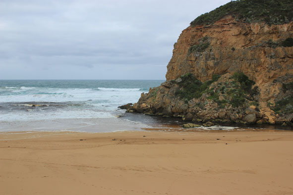
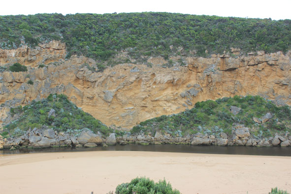
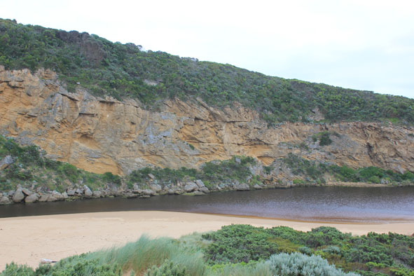
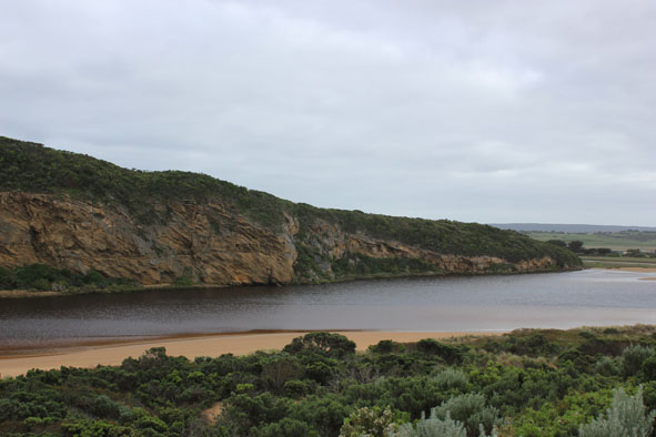
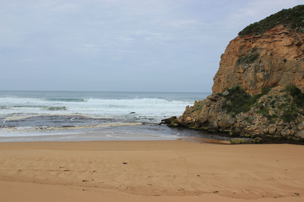
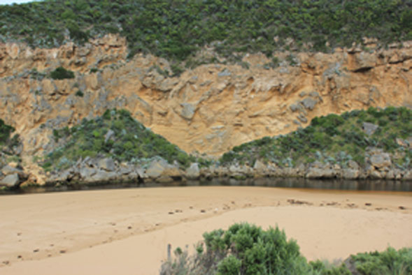
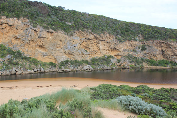
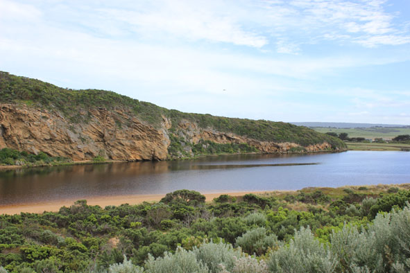
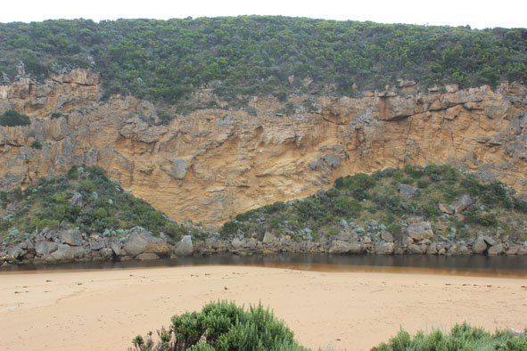
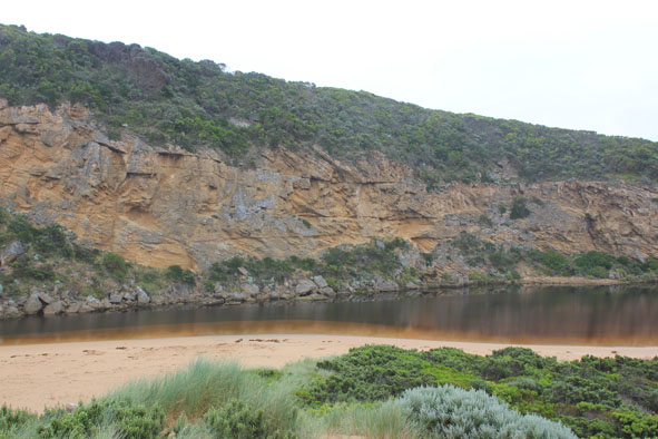
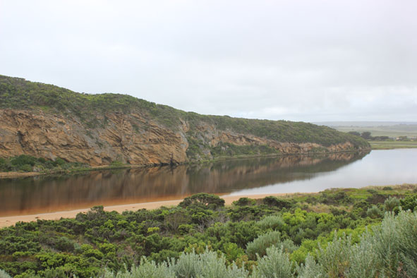
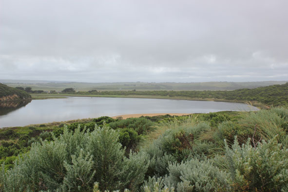
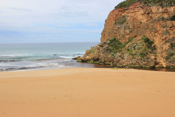
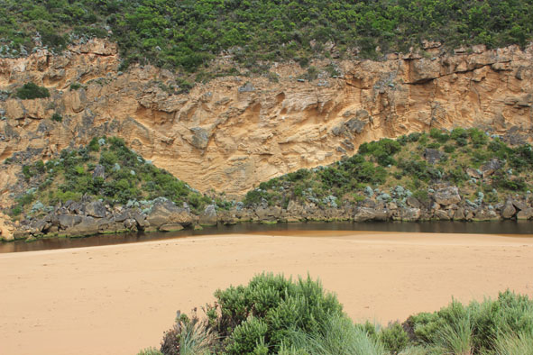
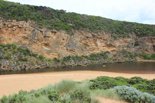
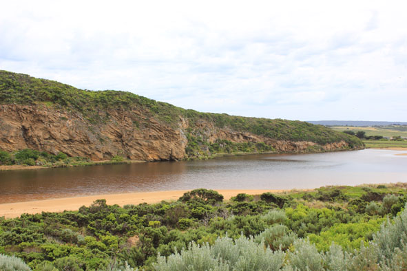
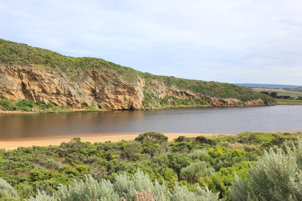
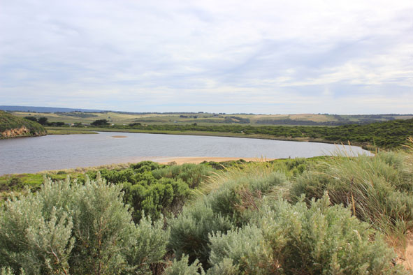
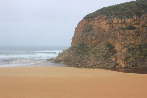
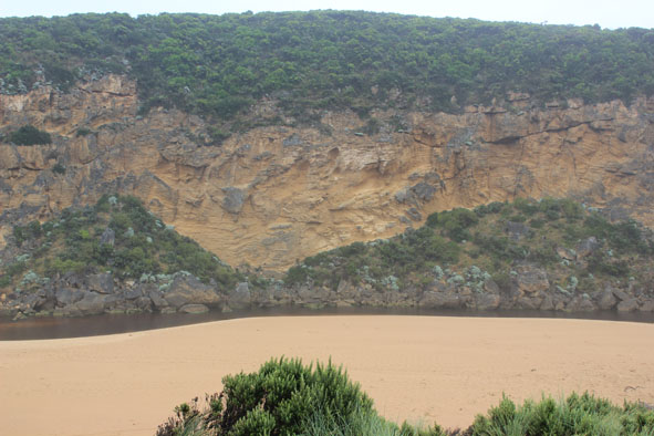
Active Mouth Condition 20-04-2007 - 19-04-2024Gellibrand River Estuary
770 results found (Displaying 311 - 320)
| ID | Date | Status | Details | |
|---|---|---|---|---|
| #7902 | 27 Oct 2012 | Approved |
Notes:
1. Dark discharge out around mouth & to east along foreshore 2.Waves impacting mid beach then a longshore drift moving west brings more sand to entrance 3.Out flow only between rocks & cliff, channel reduced upstream of rocks (about 5m.) 4.Dark swash line along beach (flats upstream have drained since 19/10/12) 5.Sandbar & south side of estuary have large areas of sand exposed 6.Senecio elegans flowering everywhere but in some areas Euphorbia paralais is taking over |
|
| #7913 | 3 Nov 2012 | Approved |
Notes:
1.Dark discharge out around mouth 2.Width of channel upstream rocks -5-6m wide 3.Slight flow infront & between rocks but main flow cascading between rocks & cliff 4.Beach wide -10cm deep north south ridges near mouth 5.Last hi tide high up on ocean beach & in estuary |
|
| #7918 | 9 Nov 2012 | Approved |
Notes:
1. Dark discharge around mouth & to east 2. longshore drift bringing more sand to mouth 3. Channel width reducing - sand build up east side of rocks & flow only cascading between rocks & cliff face, channel shallow between rocks & sea 4. Pair Hooded Plover on ocean beach |
|
| #7924 | 16 Nov 2012 | Approved |
Notes:
1.Dark discharge out around mouth 2. Waves in all directions around rocks & sand visiable in breakers well out to sea 3.Sand build up infront of rocks has increased creating a shallow area with reduced flow 4.Ocean beach wide & slopping with last hi tide well up - also in estuary |
|
| #7932 | 23 Nov 2012 | Approved |
Notes:
1. Dark discharge out around mouth & about 50m east along shoreline 2.Mouth shallow with increased sand build up 3.Waves in all directions at mouth 4.Out flow only between rocks & cliff face 5.Beach wide & slopping, last hi tide high up on beach & in estuary |
|
| #7938 | 30 Nov 2012 | Approved |
Notes:
1.Slight dark discharge only around mouth 2.Mouth between sea & rocks shallow & flow only between rocks & cliff 3.Channel width & depth decreasing |
|
| #7953 | 7 Dec 2012 | Approved |
Notes:
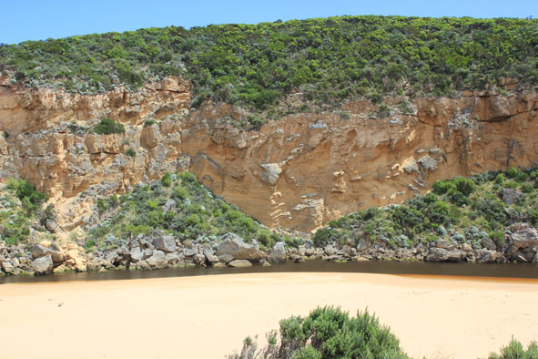
1.Dark discharge around mouth, paler area further out to sea 2.Mouth very shallow with large amount of sand on east side showing out level with end of cliff 3. Channel only about 4-5m wide near tunnel but wider just upstream of rocks 4. Very rough seas during week - up to base of dunes & high in estuary damaging sand dunes on south & east sides 5.Many small moth wings in swash line along east side of channel |
|
| #7968 | 14 Dec 2012 | Approved |
Notes:
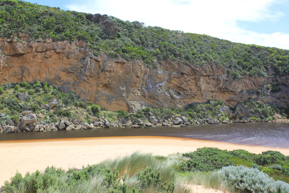
1. 1.Mouth shallow with only narrow deeper channel near cliff 2.Area directly upstream rocks has widened since 13/12/12 3.Last hi tide well up to dunes & continuing strong longshore drift still bringing sand to mouth (area increased) 4. Debris mid estuary has moved further upstream 5.Large amount of small green seaweed along swashline in estuary 6.Pelican on exposed sand bar |
|
| #7972 | 21 Dec 2012 | Approved |
Notes:
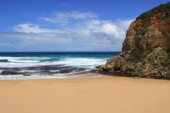
1. Narrow channel against cliff & between rocks flowing out strongly over shallow area 2.Dark discharge only around mouth 3. Strong long shore drift to mouth meeting out flow 4.Ocean beach wide with gradual slope, hi tide up to base of recently created sand cliffs. 5.No sign of Hooded Plovers since beach has new formation 5.Caspian tern (1) & white egret in estuary, 6 Red Kneed Dotterels in north wetlands |
|
| #7993 | 30 Dec 2012 | Approved |
Notes:
1.Dark discharge out only around mouth, some small waves entering 2.Waves in all directions at mouth 3. Sand build up increasing in channel- both upstream & downstream of rocks 4. Beach wide & sloping |
|


All content, files, data and images provided by the EstuaryWatch Data Portal and Gallery are subject to a Creative Commons Attribution License
Content is made available to be used in any way, and should always attribute EstuaryWatch and www.estuarywatch.org.au