EstuaryWatch Data Portal
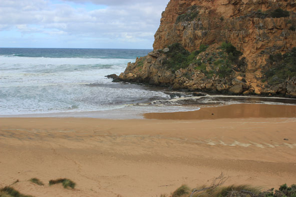
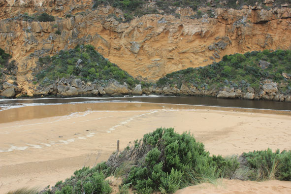
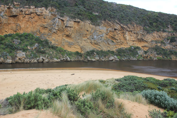
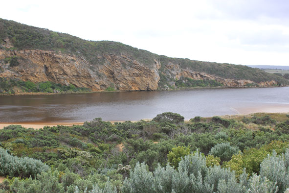
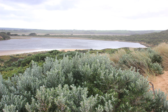
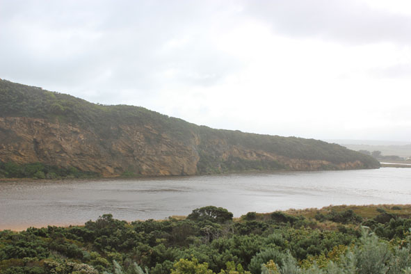
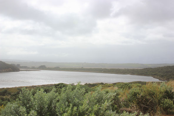
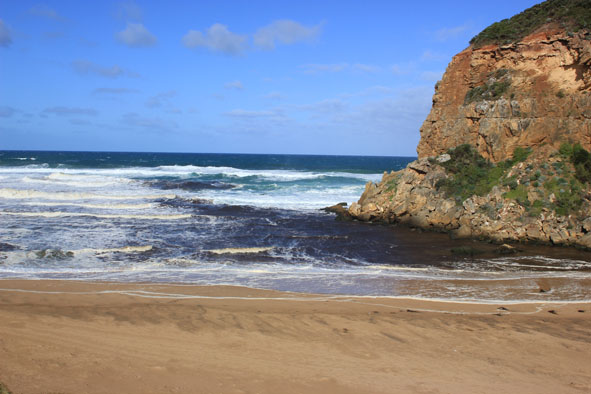
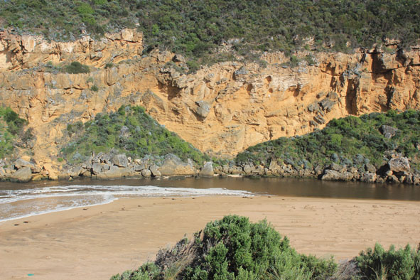
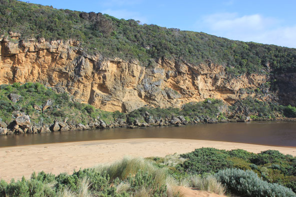
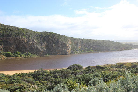
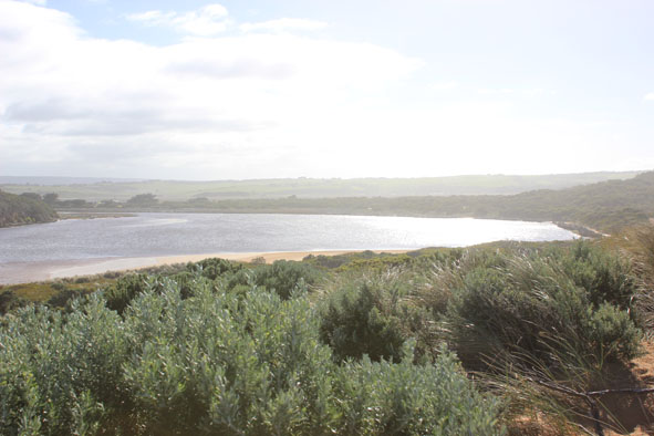
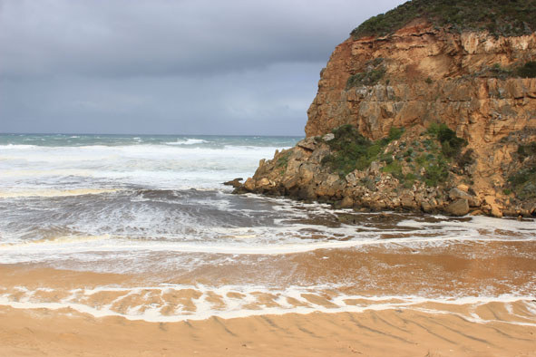
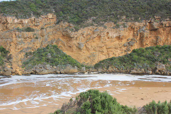
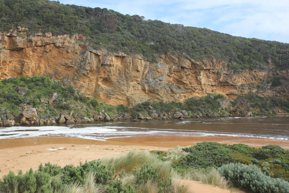
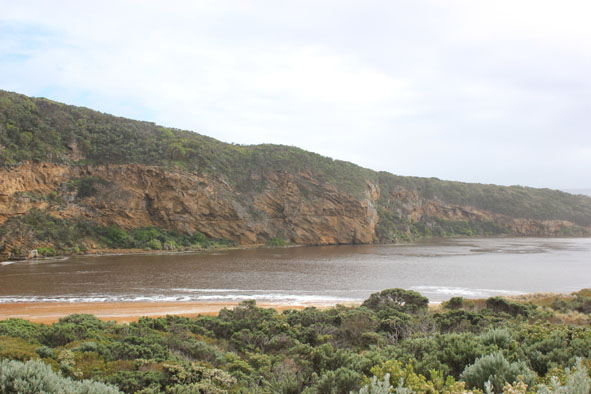
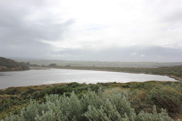
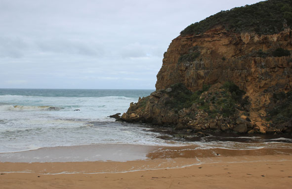
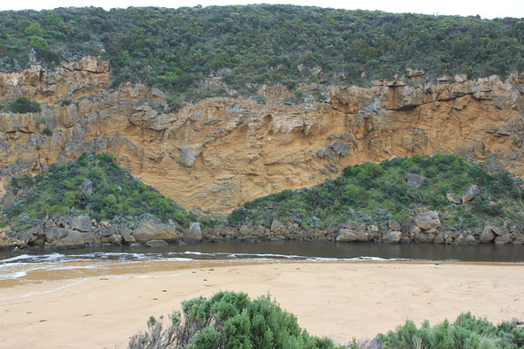
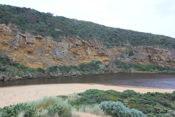
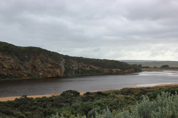
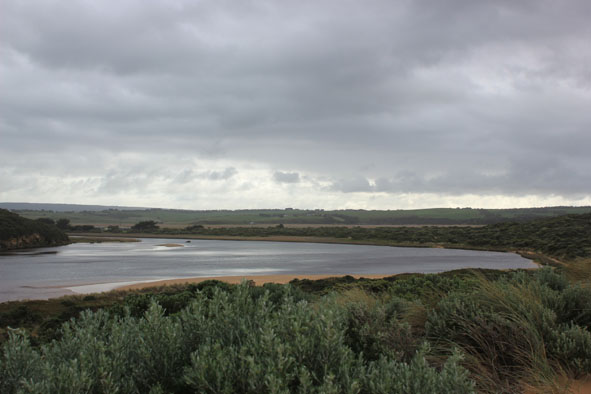
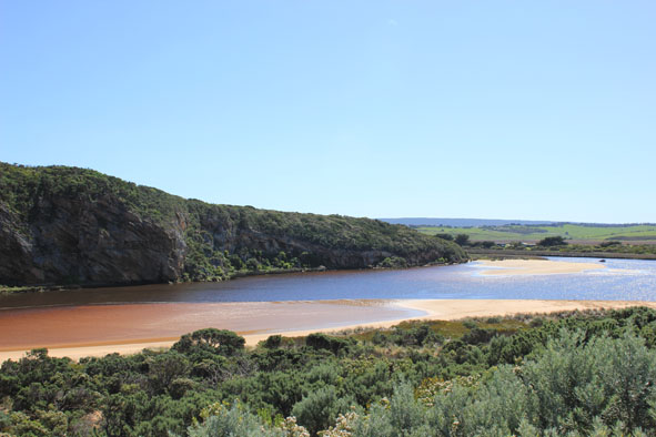
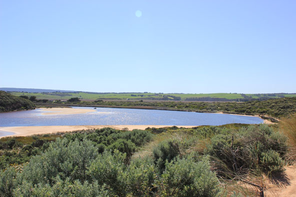
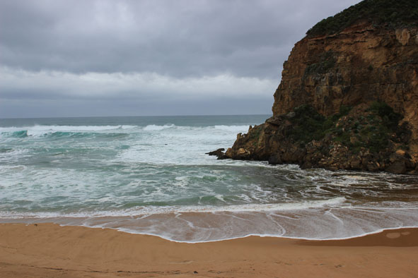
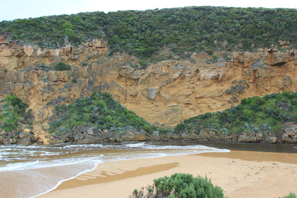
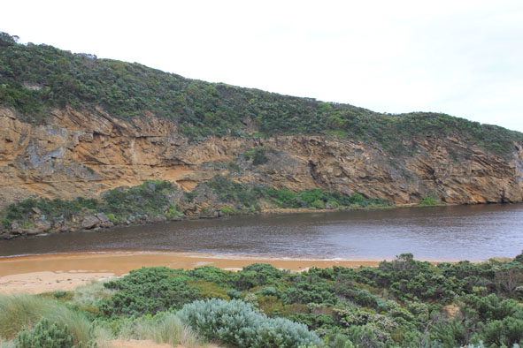
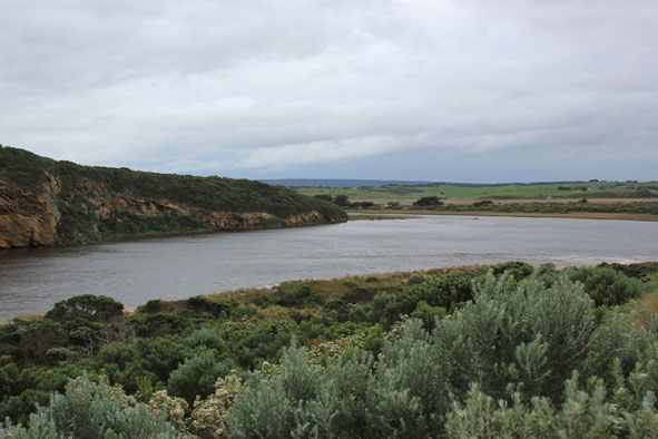
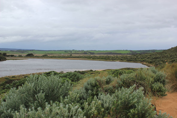
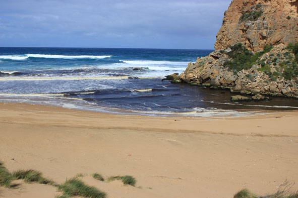
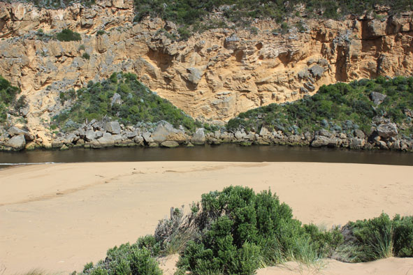
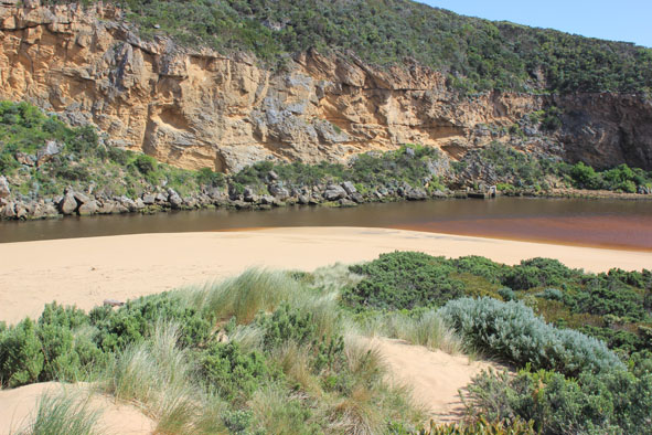
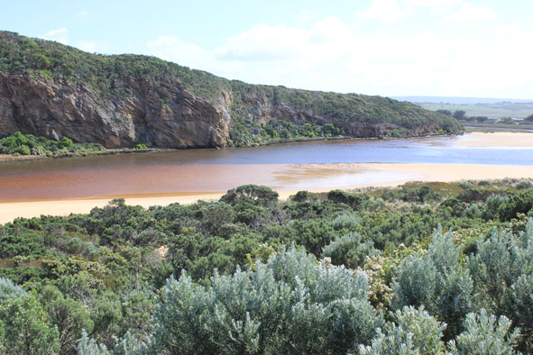
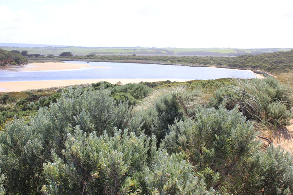
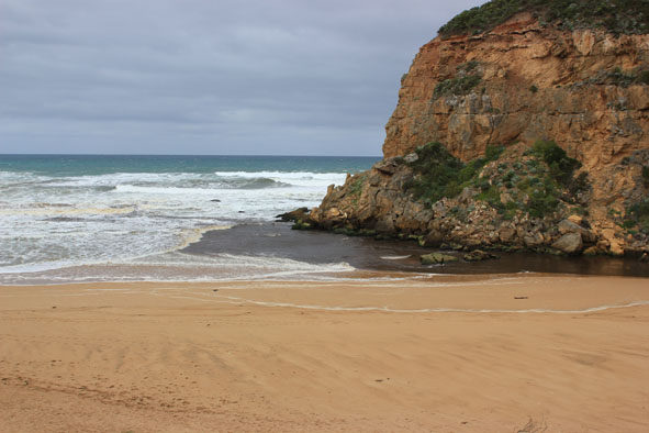
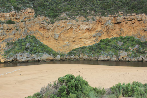
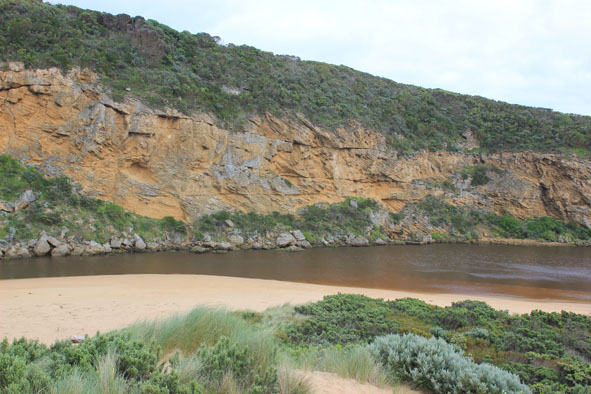
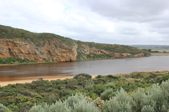
GMC Gellibrand River Estuary Mouth Observation Site
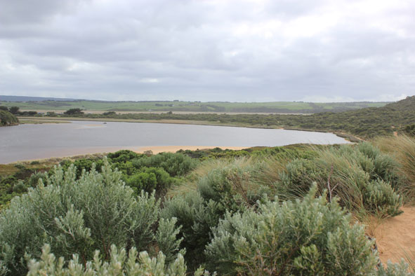
Active Mouth Condition 20-04-2007 - 19-04-2024Gellibrand River Estuary
770 results found (Displaying 301 - 310)
| ID | Date | Status | Details | |
|---|---|---|---|---|
| #7601 | 18 Aug 2012 | Approved |
Notes:
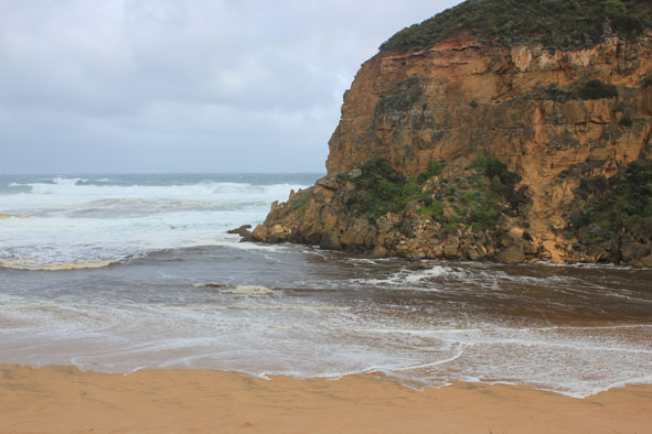
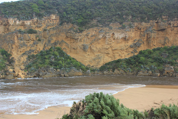
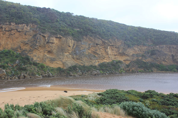
1. Flow out, but waves entering channel & continuing into estuary to north (across sand bar), also turning east & impacting on sand dunes & east side 2.Tide has been up to base of dunes on ocean beach, dark scum & debris along swash line also deep ripples in sand where longshore drift turns into channel 3.Sand higher with steep face 1.5m about 1/3 east of estuary on ocean beach |
|
| #7662 | 24 Aug 2012 | Pending |
Notes:
1. Dark discharge out around mouth & to east 2.Very strong north wind along side of cliffs in estuary but wind is from west at G2 & upstream where foam crested waves (about 50 cm+) are travelling along flooded areas from midway between G5 & G4 & up to Rowan's Gully 3.Waves on ocean beach are up on dunes at mid beach & east end. They then travel back (long shore drift) toward mouth, turning and entering estuary & impacting on south & east sides. North wind is holding back full force |
|
| #7663 | 24 Aug 2012 | Approved |
Notes:
1. Dark discharge out around mouth & to east 2. Strong north wind from estuary turning waves back at mouth 3.Wind is north along estuary channel but west at G2 & upstream where foam crested waves (50m+) are travelling along floodwaters from between G5 & G4 to Rowan's Gully 4.Waves are up on the dunes at mid & east end of ocean beach, they then travel back toward mouth turning and entering estuary, impacting on south & east sides. 5.Water high on low track |
|
| #7683 | 31 Aug 2012 | Approved |
Notes:
1. Dark discharge around mouth & out to sand bar (60m?) then turning east 2. Waves in all directions at mouth, some entering channel then turning east as estuary widens. South side of estuary has large sand build up 3. Waves are still reaching high up on ocean beach. Sand cliff mid beach 4.Large mound of dead reeds, rubbish,dead trees & small saw logs behind reeds on east side of estuary |
|
| #7712 | 8 Sep 2012 | Approved |
Notes:
1. Discharge out around mouth & to east 2. Waves entering estuary - further reducing dunes on south side of estuary & surging along behind reeds on east side 3.Waves on ocean beach have created sheer face (1-2m) just below dunes after which they turn traveling west to mouth |
|
| #7730 | 14 Sep 2012 | Approved |
Notes:
1.Dark discharge flowing out south 2.Waves in all directions at mouth, some entering estuary 3.Small area of sandbar exposed in estuary 4.Dunes east of channel have been further erroded as has south side of estuary 5.High sand cliffs(mid beach) remain at foot of dunes 6.Water flowing back & forth behind reeds east side of estuary |
|
| #7773 | 22 Sep 2012 | Approved |
Notes:
1.Dark discharge out around mouth & to east (between shore & sandbar) 2.Waves constantly entering channel & estuary 3.Sand cliffs ( to 3m. high) remain at mid ocean beach but east end leveling out. Sand has built up near mouth 4.Sandbar exposed also large areas of sand on south & east sides of estuary 5. Sea grass is re establishing in shallow areas east side of estuary 5. Dead banded pigeon on ocean beach |
|
| #7842 | 28 Sep 2012 | Approved |
Notes:
1.Small amount of dark discharge only immediately around mouth at 09:55 but by 10:50 none could be seen & salt water was moving up estuary channel 2. Rough sea up to base of dunes (Ocean beach), impacting on sand cliffs mid beach, longshore drift then moving water toward mouth - waves in all directions 3.Sand has built up around rocks at mouth & channel width upstream is reducing 4.Waves constantly entering channet & estuary impacting on dunes (south side estuary) & strongly surging behind reeds on east side 5. Darter 1. seen perching above river near G2. |
|
| #7854 | 5 Oct 2012 | Approved |
Notes:
1. Dark discharge around mouth & to east 2. Small waves entering east side of channel & turning east upon entering estuary 3. Sand continues to build up around entrance 4. Ocean beach wide & slopping 5. Large areas of sand exposed in estuary 6. Dead eel east side of channel 7. Senecio elegans flowering in dunes, Capeweed increasing on tracks |
|
| #7863 | 12 Oct 2012 | Approved |
Notes:
1.Dark discharge around mouth & to east along shoreline, some travelling west along base of cliff 2.Sand cliffs remain on ocean beach & longshore drift continues to create sand build up around entrance |
|

All content, files, data and images provided by the EstuaryWatch Data Portal and Gallery are subject to a Creative Commons Attribution License
Content is made available to be used in any way, and should always attribute EstuaryWatch and www.estuarywatch.org.au