EstuaryWatch Data Portal
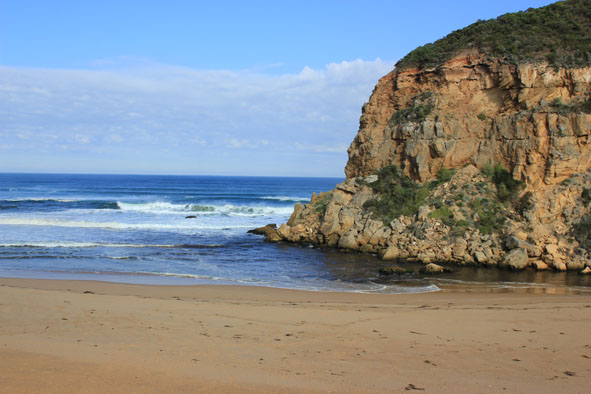
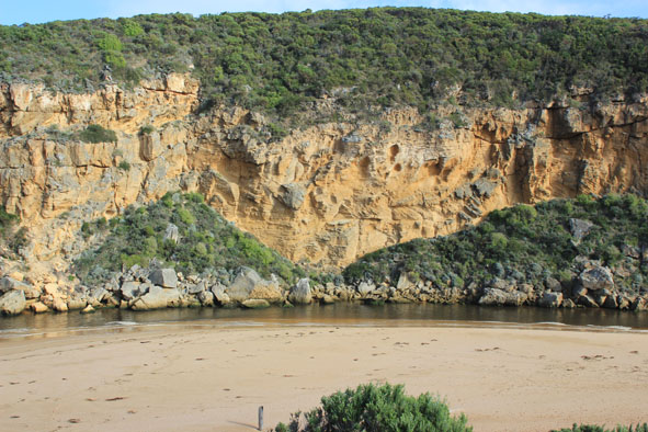
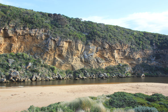
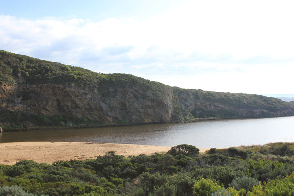
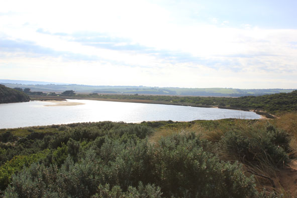
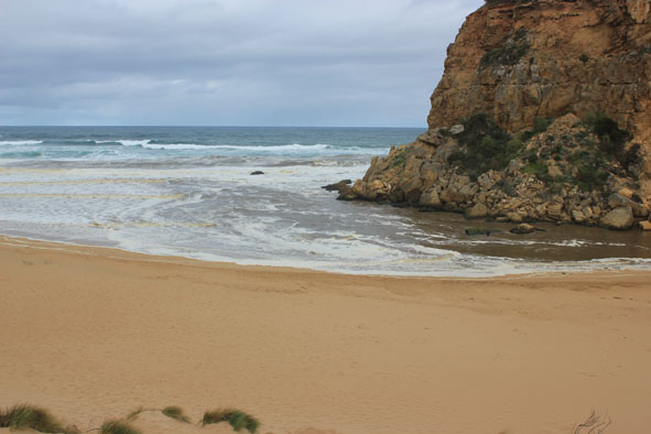
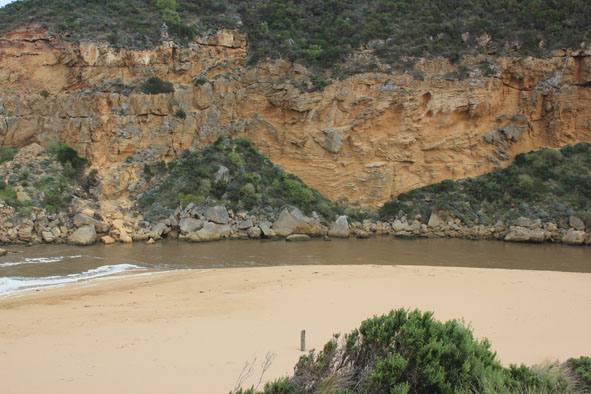
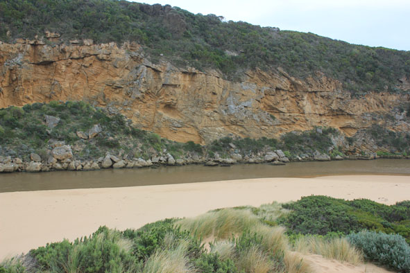
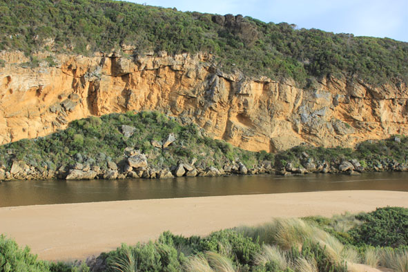
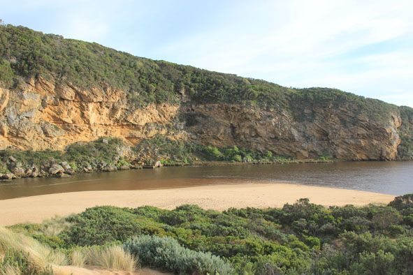
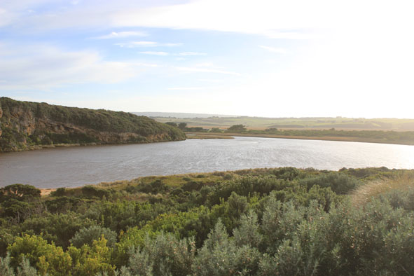
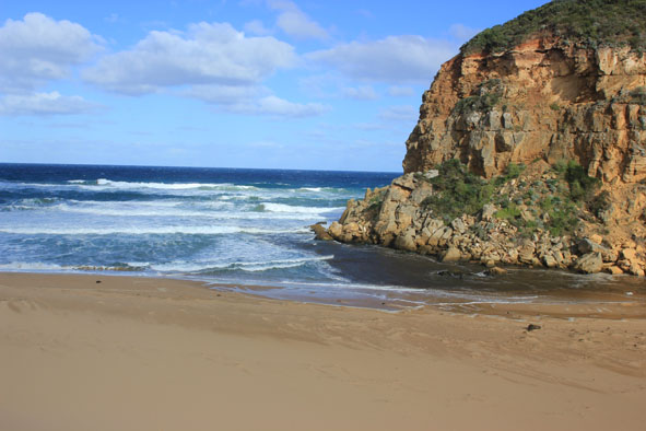
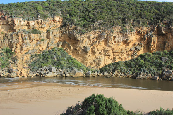
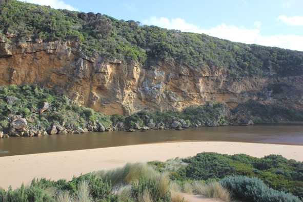
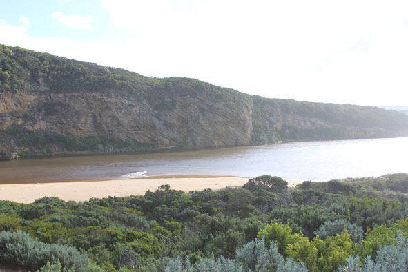
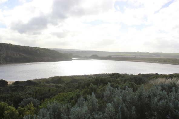
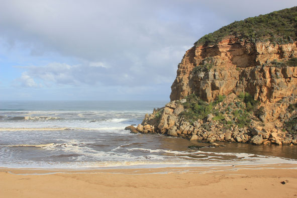
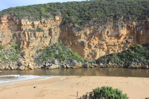
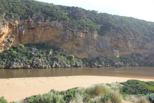
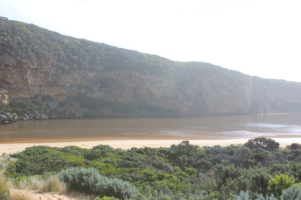
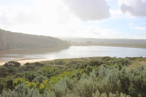
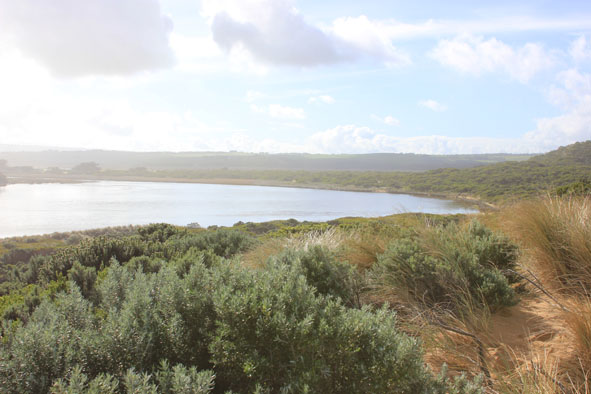
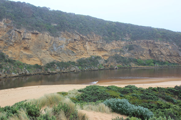
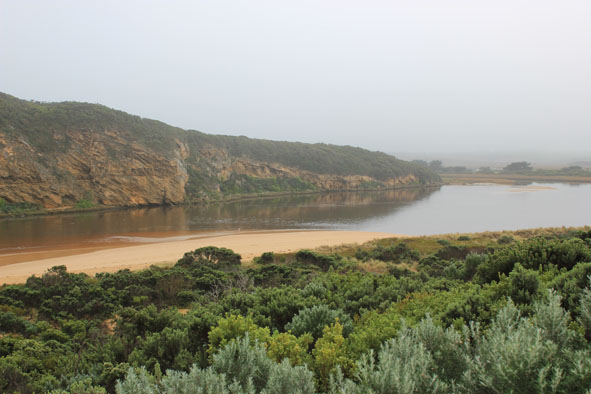
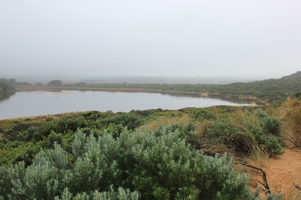
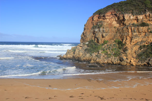
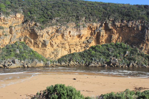
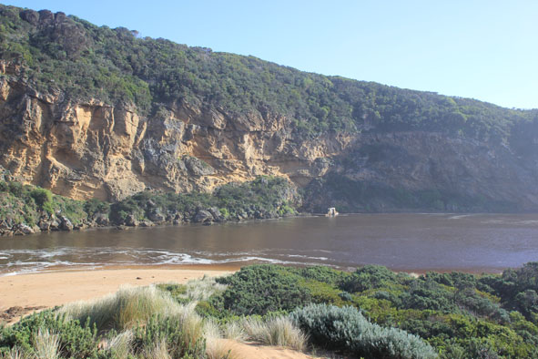
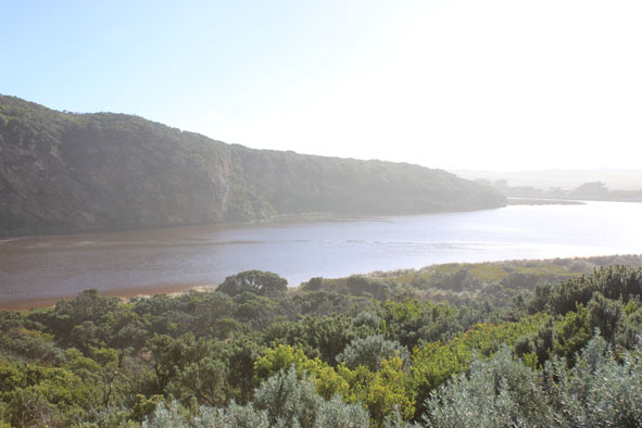
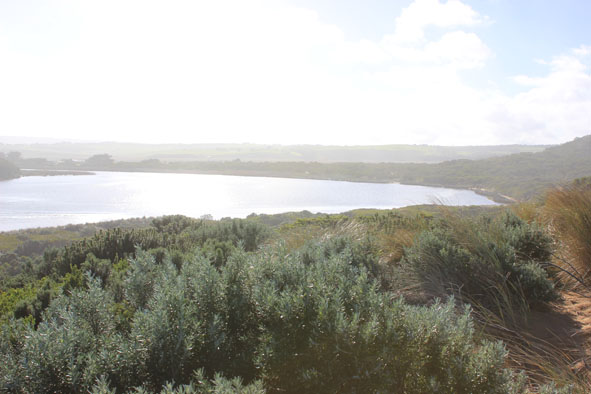
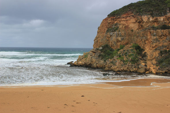
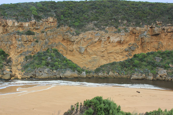
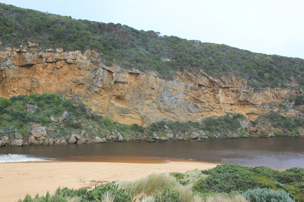
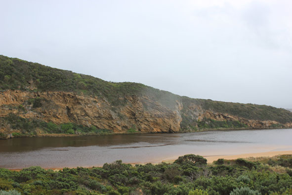
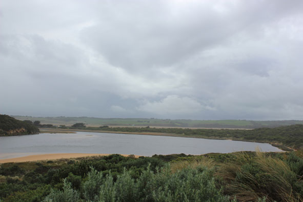
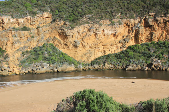
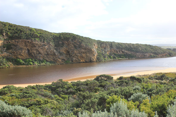
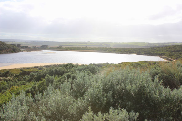
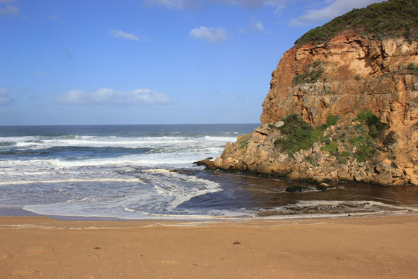
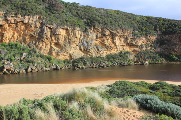
GMC Gellibrand River Estuary Mouth Observation Site
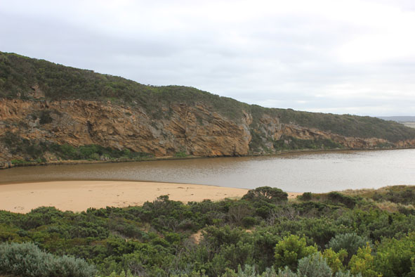
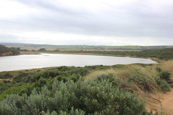
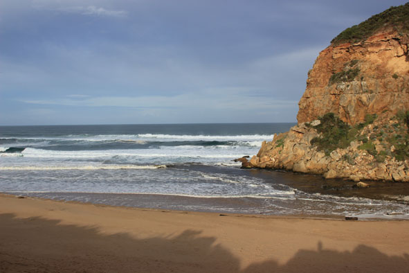
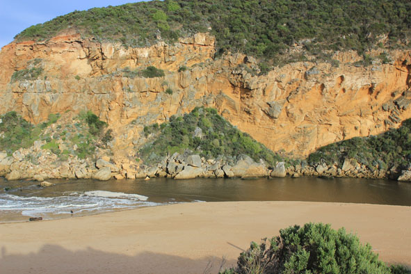
Active Mouth Condition 20-04-2007 - 19-04-2024Gellibrand River Estuary
770 results found (Displaying 291 - 300)
| ID | Date | Status | Details | |
|---|---|---|---|---|
| #7201 | 1 Jun 2012 | Approved |
Notes:
1.Strong out flow, actual channel upstream of rocks only about 5-6m. wide. Water flowing both sides of rocks 2.Dark discharge around mouth 3. Waves travelling from east along shore to mouth then entering estuary 4.Beach has been leveled out - gradual slope to sea 5.Steep front to sand in area toward mouth, highest point now1/3rd. away from mouth, sand has been reduced in height near mouth 6.Sand bar exposed in estuary |
|
| #7221 | 8 Jun 2012 | Approved |
Notes:
1.Strong outflow from recent rainfall, dark discharge around mouth, along shore to east & along cliffs to west 2.Recent increase of flow since 06/06/12. Steep sides to channel (1.- 1.5m) near mouth. Dark silt & brown foam all along beach 3. Water cascading aroung rocks, flow on both sides 4.Waves in all directions at mouth -longshore drift bringing back more sand to mouth 5.Strong wave surges entering channel then swinging east into estuary . Water 'pulsing' upstream past G2 |
|
| #7282 | 15 Jun 2012 | Approved |
Notes:
1. Strong outflow curving east of rocks. Flow on both sides. (About 10m.east of rocks) 2.Dark discharge along foreshore to east 3.Channel wide with waves entering & travelling along east side to estuary scouring side of channel which is about 1.5m high near mouth 4.Sea up to dunes at east end of beach with sand area increasing in height & width toward mouth 5.Sand visiable in waves near mouth |
|
| #7342 | 22 Jun 2012 | Pending |
Notes:
1. Dark discharge flowing out around mouth 2. Wind driven sand & waves bringing more sand to mouth build up near rocks has increased reducing outflow on east side 3.Waves entering & scouring out southside of estuary moving 7m. long log about 30m. to east 4. Formerly high banks to channel & beach reduced from wave action 5. Dunes changing shape with wind action |
|
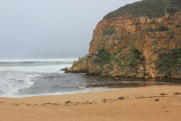
| #7403 | 5 Jul 2012 | Approved |
Notes:
1. Strong dark discharge over wide area, out to sea, to west along cliff & along foreshore to east 2.Waves in all directions at mouth 3.Waves entering estuary, scouring south & south east side - large saw log moved over 30m to east 4.Steep front to beach (to 2.50m.) west end of beach where waves impact and turn toward mouth 5. Increase of Gladiolus undulatus on low track |
|
| #7423 | 13 Jul 2012 | Approved |
Notes:
1. Strong outflow, dark discharge around mouth & to east along shoreline 2.Channel upstream rocks very wide but east of rocks sand has built up from a longshore drift occuring after waves have impacted on steep face of high sand(2m+) on beach near mouth 3.Rest of beach to east has long gradual slope 4.Tide has been up high on east side of channel & south & east sides of estuary 5.White egret 1. Black comorants 4. |
|
| #7463 | 20 Jul 2012 | Approved |
Notes:
1.Dark discharge out around mouth, salt water entering estuary along east side of channel. 2.Waves over rocks at entrance 3.Beach wide with gradual slope -Waves close to dunes along east side of channel 4.Waves travelling from mouth to north but also swinging east and impacting on south & east sides of estuary |
|
| #7502 | 27 Jul 2012 | Approved |
Notes:
!. Dark discharge around mouth & to east 2. Waves entering estuary, large amount of foam near rocks & upstream 3.Channel narrow directly upstream rocks (sand build up) then widening east where a new shape has been created in estuary 4.Sea has moved close to dunes (east side of Channel) during last hi tide 5.Beach - gradual slope but higher near entrance |
|
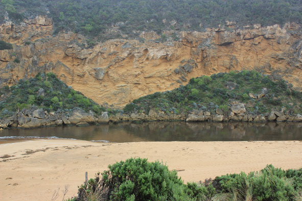
| #7541 | 4 Aug 2012 | Approved |
Notes:
1. Dark discharge out only around mouth 2.Entrance wide but narrows just upstream of rocks then widens into estuary 3.Waves entering estuary -sandbar exposed. 4.Beach wide & slopping curving in toward dunes at east end 5. Height of sand near entrance has been lowered. Sand has been shifted into channel near rocks. Highest part of beach is now midway. |
|
| #7564 | 10 Aug 2012 | Approved |
Notes:
1. Very dark discharge out around mouth and only to west. 2.Waves in all directions at mouth and entering estuary. Small wave surge noted at G2. 3. South side of estuary now has wide beach area infront of reduced dunes. 4.Ocean beach wide & sloping, signs of water up to base of dunes, large saw log has moved further to west (resulting from storm 09/08/12) |
|


All content, files, data and images provided by the EstuaryWatch Data Portal and Gallery are subject to a Creative Commons Attribution License
Content is made available to be used in any way, and should always attribute EstuaryWatch and www.estuarywatch.org.au