EstuaryWatch Data Portal
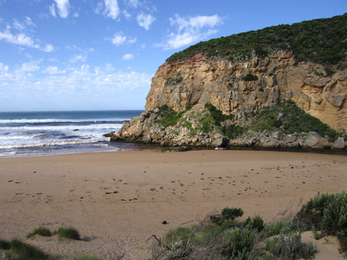
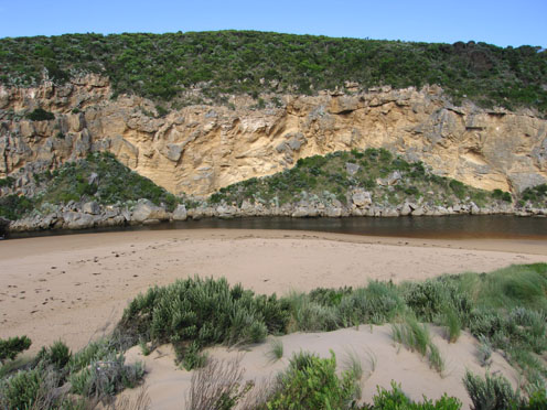
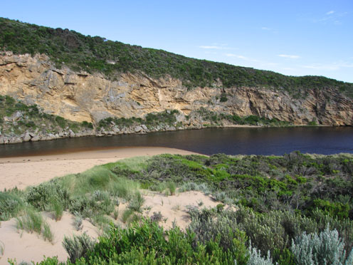
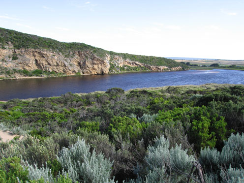
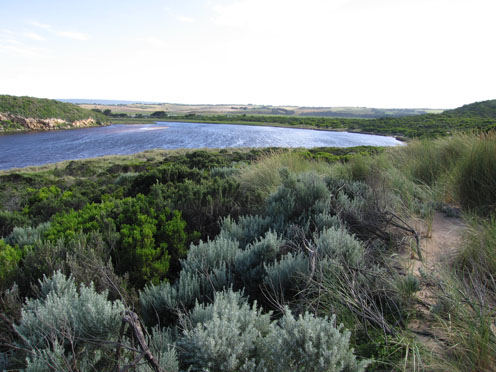
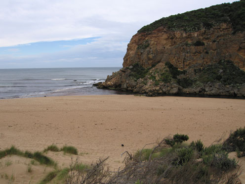
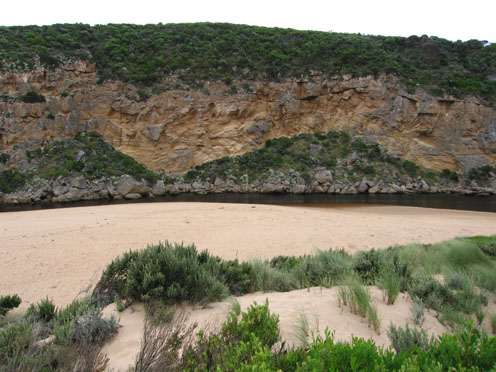
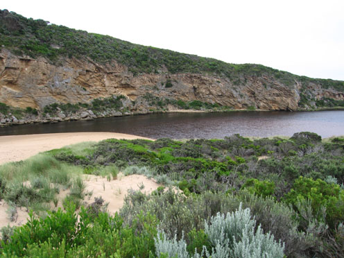
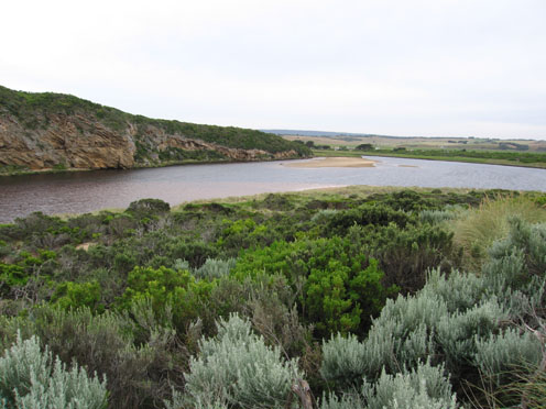
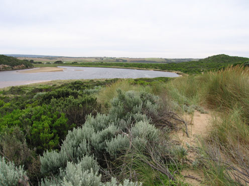
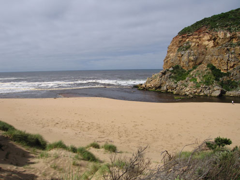
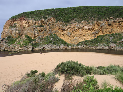
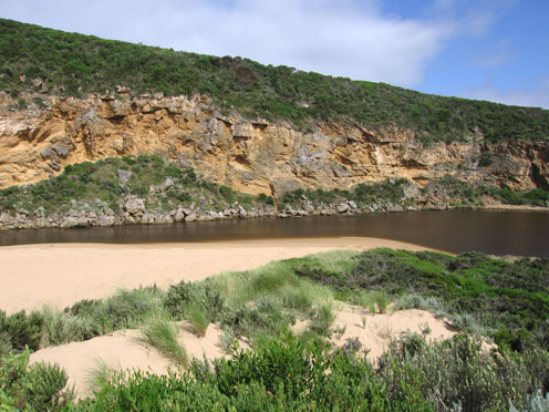
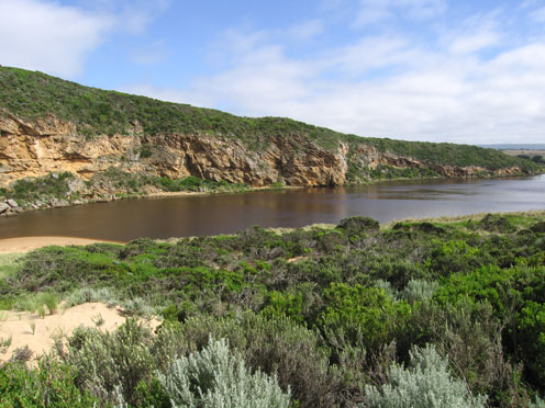
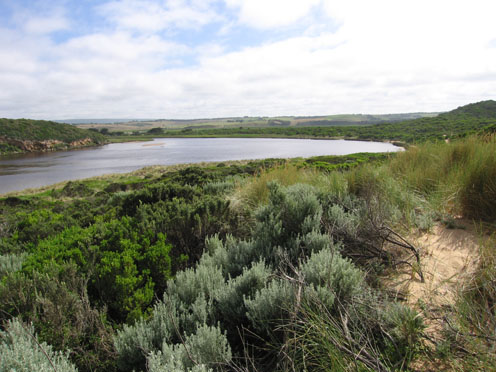
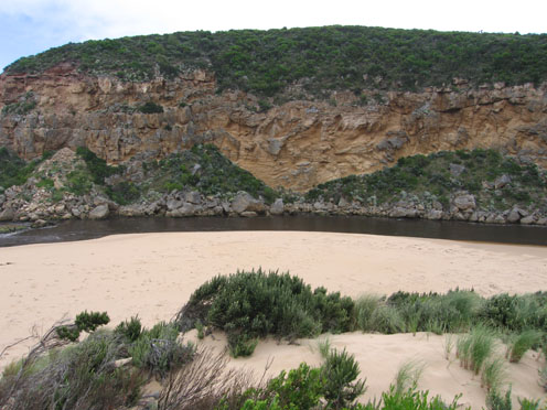
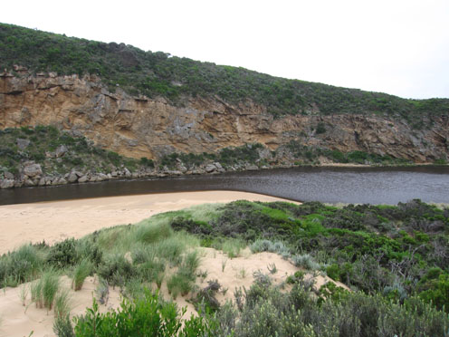
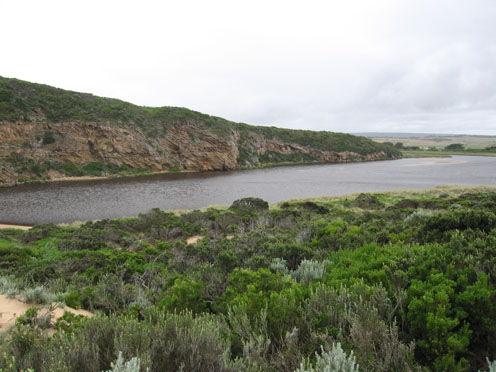
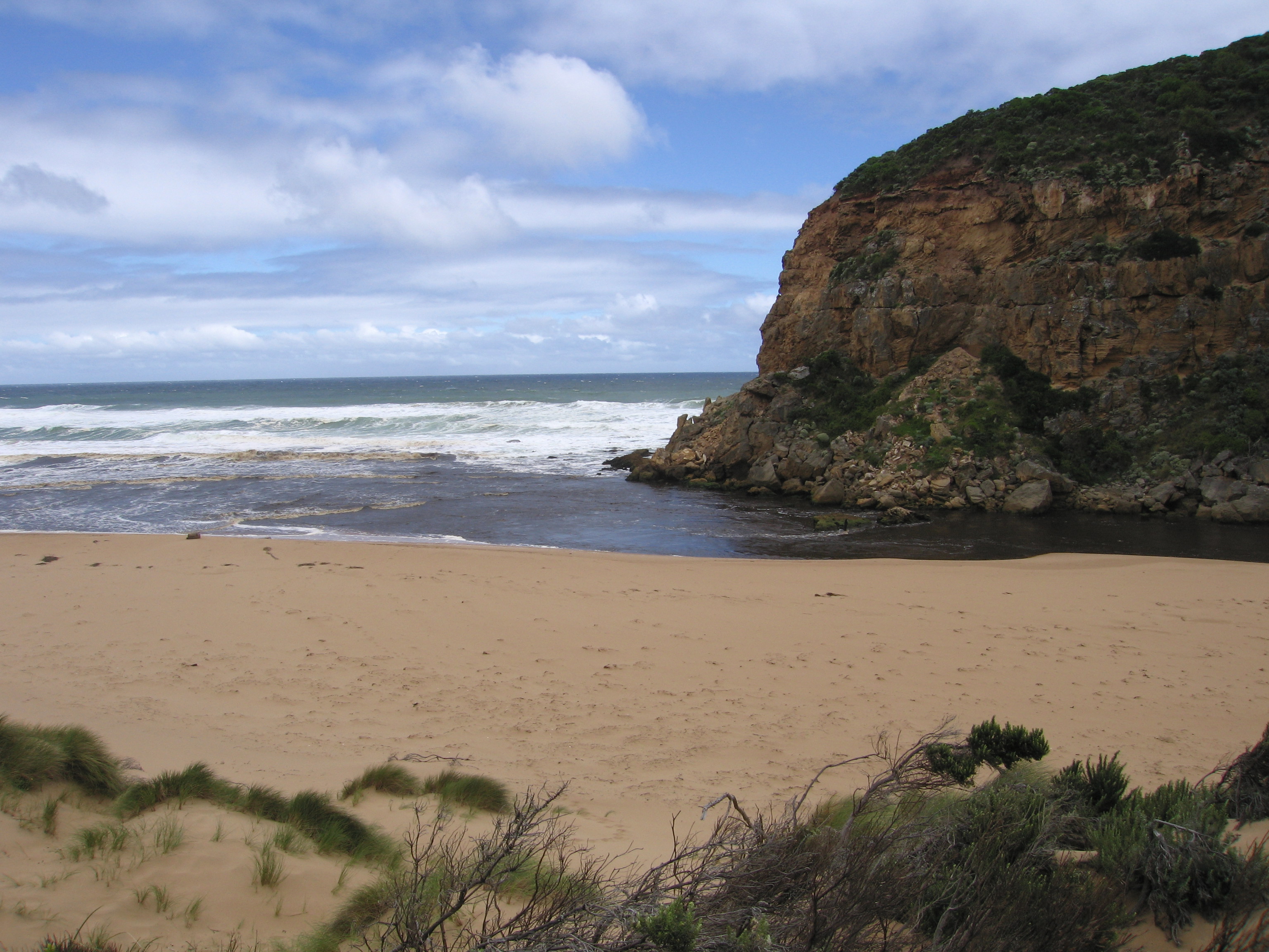
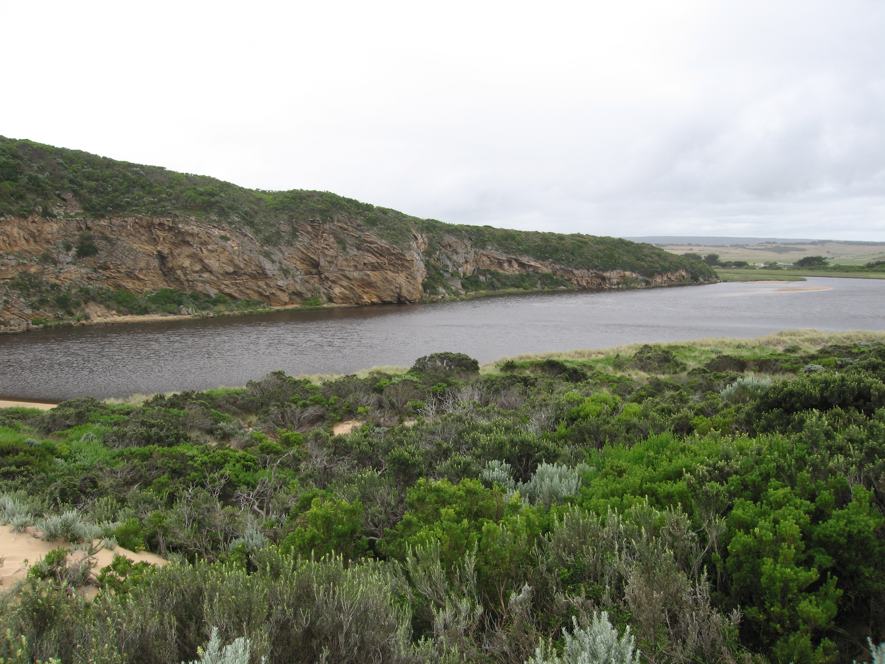
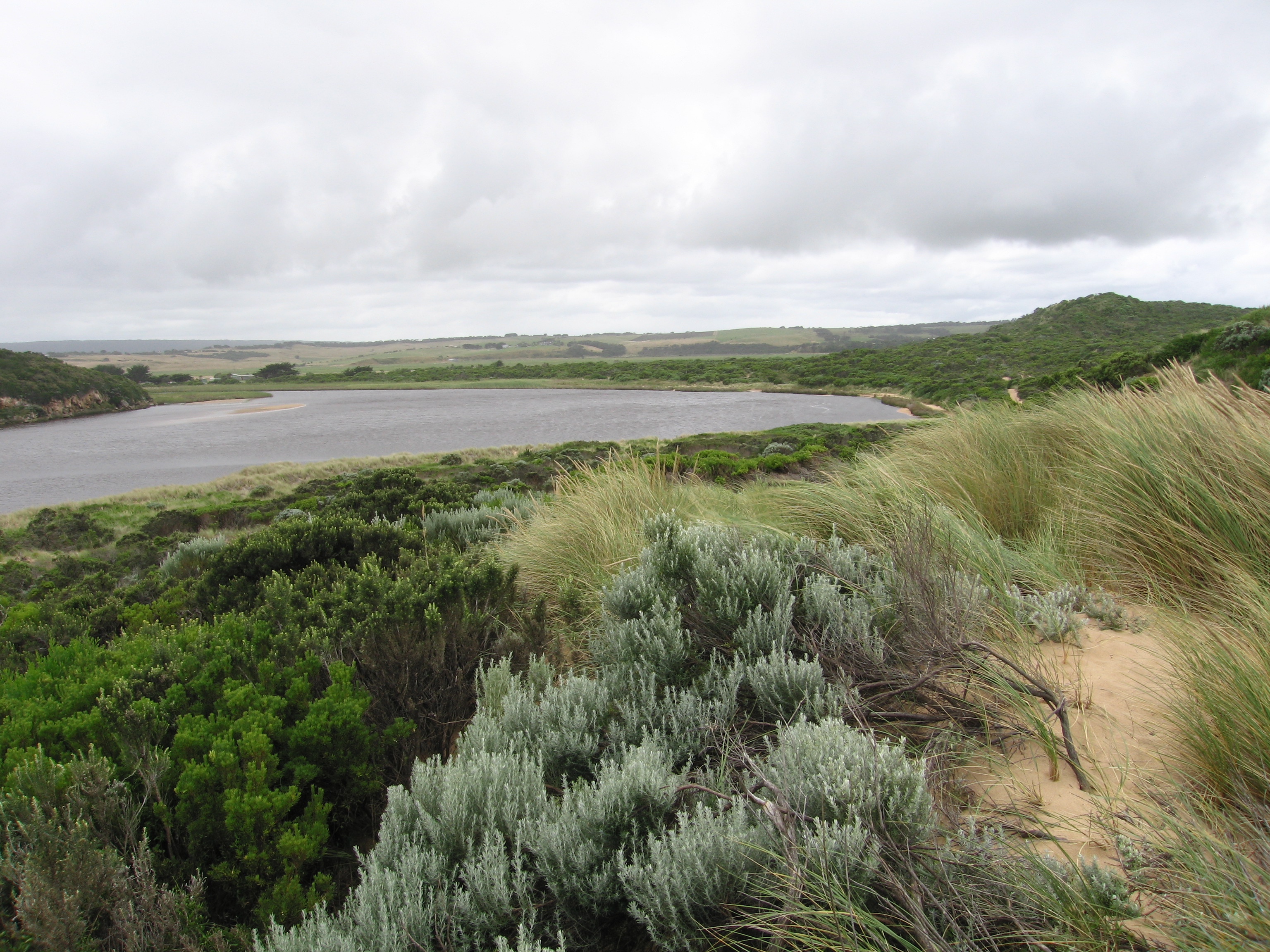
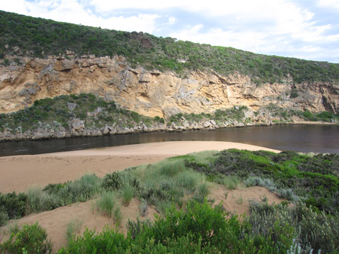
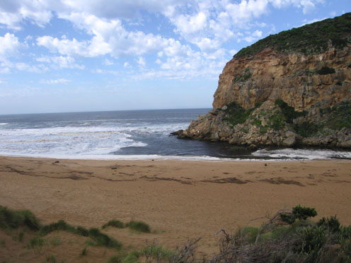
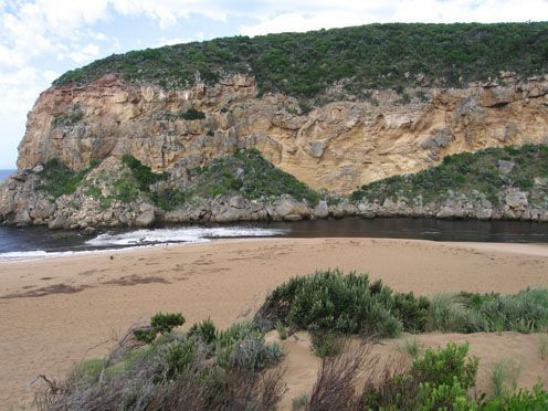
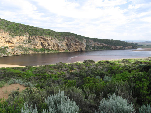
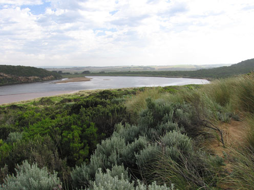
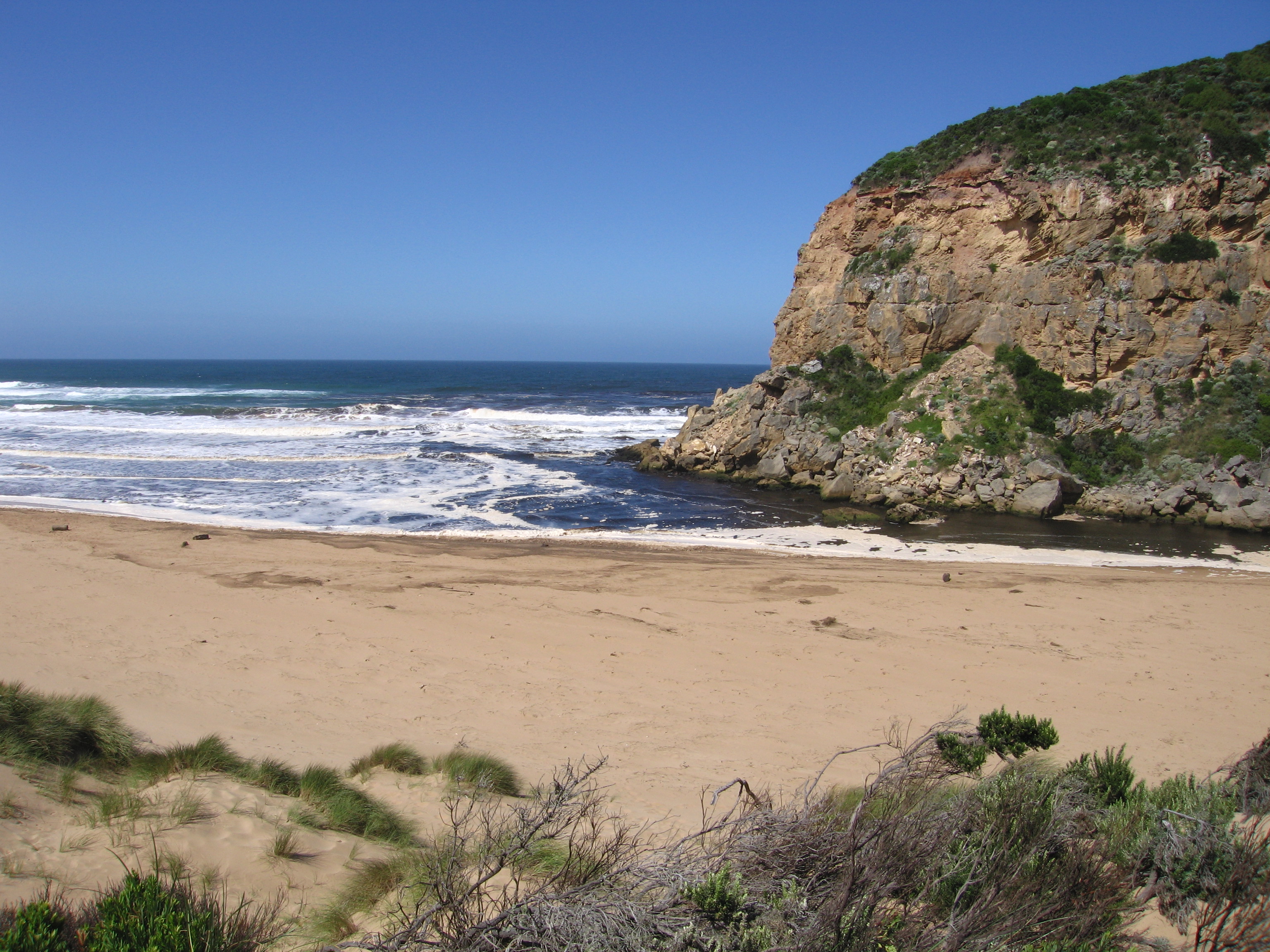
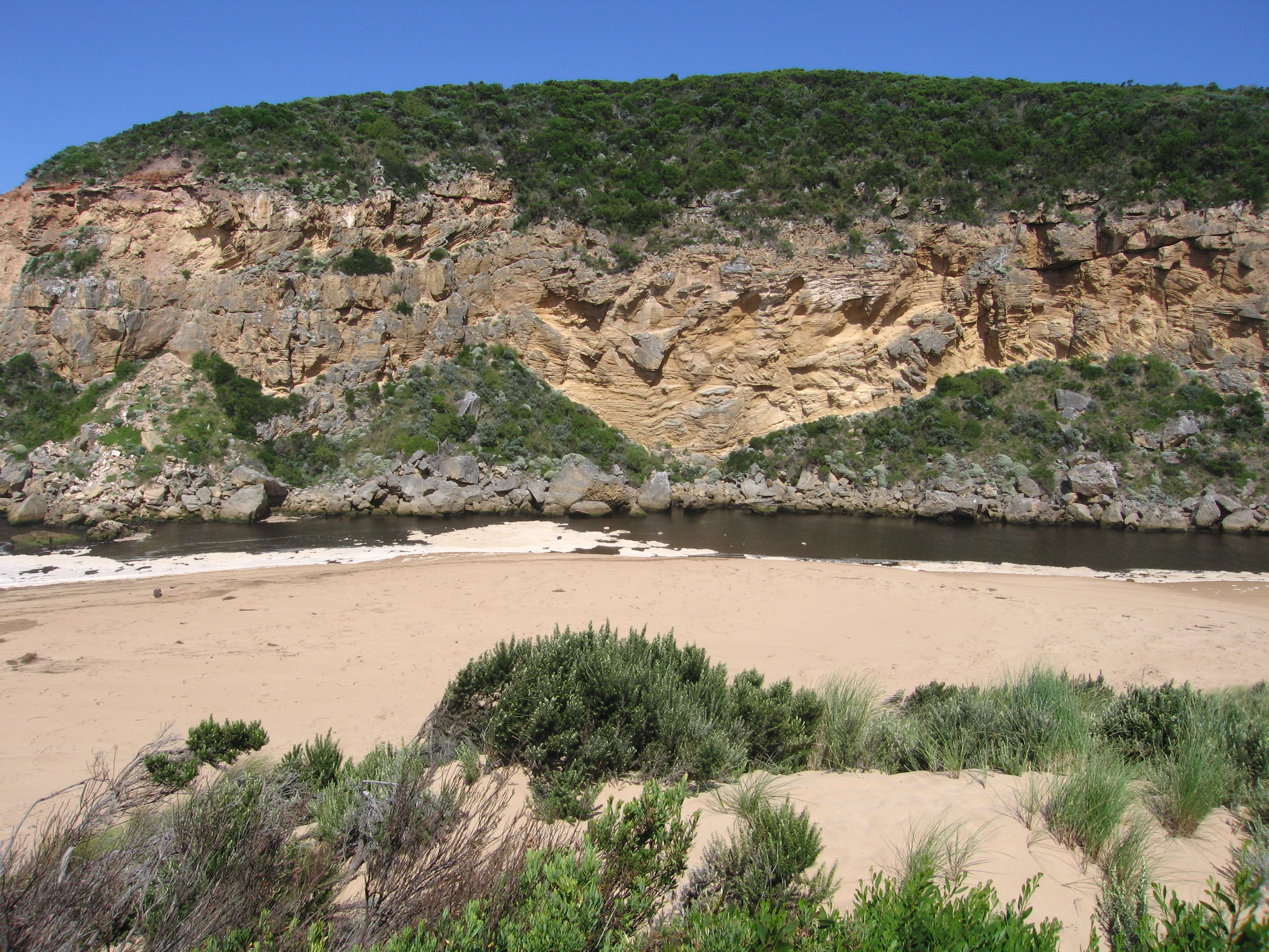
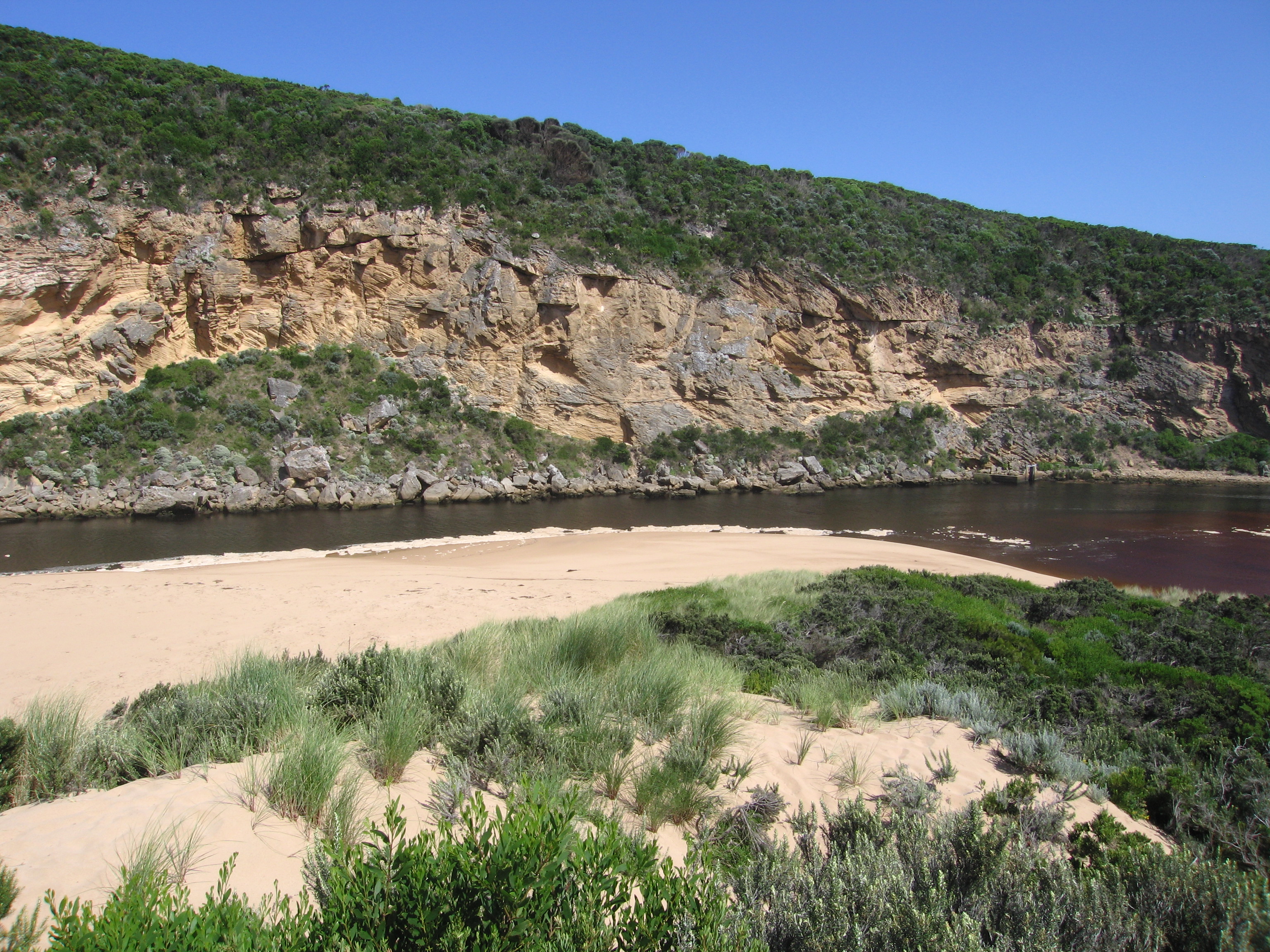
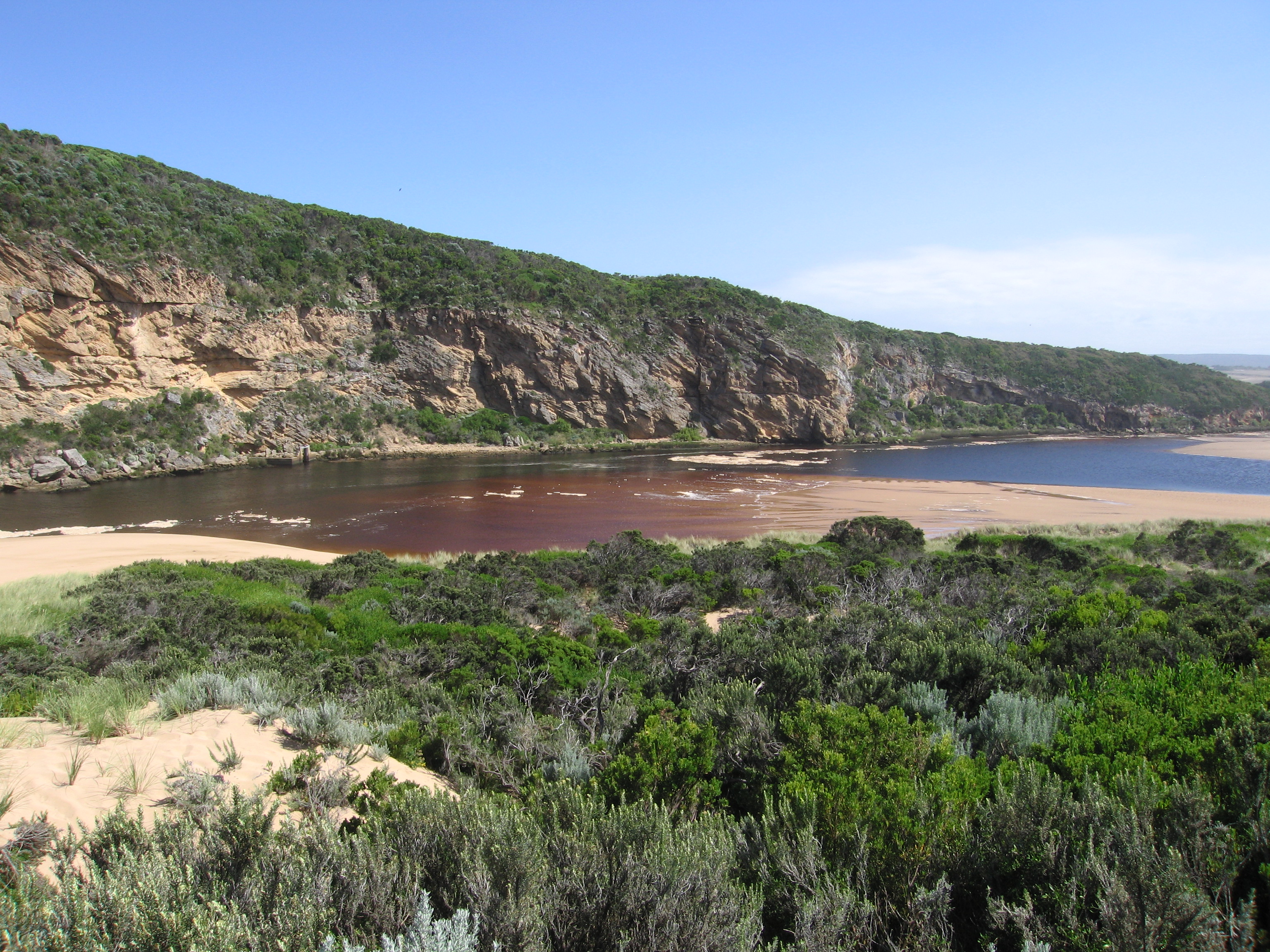
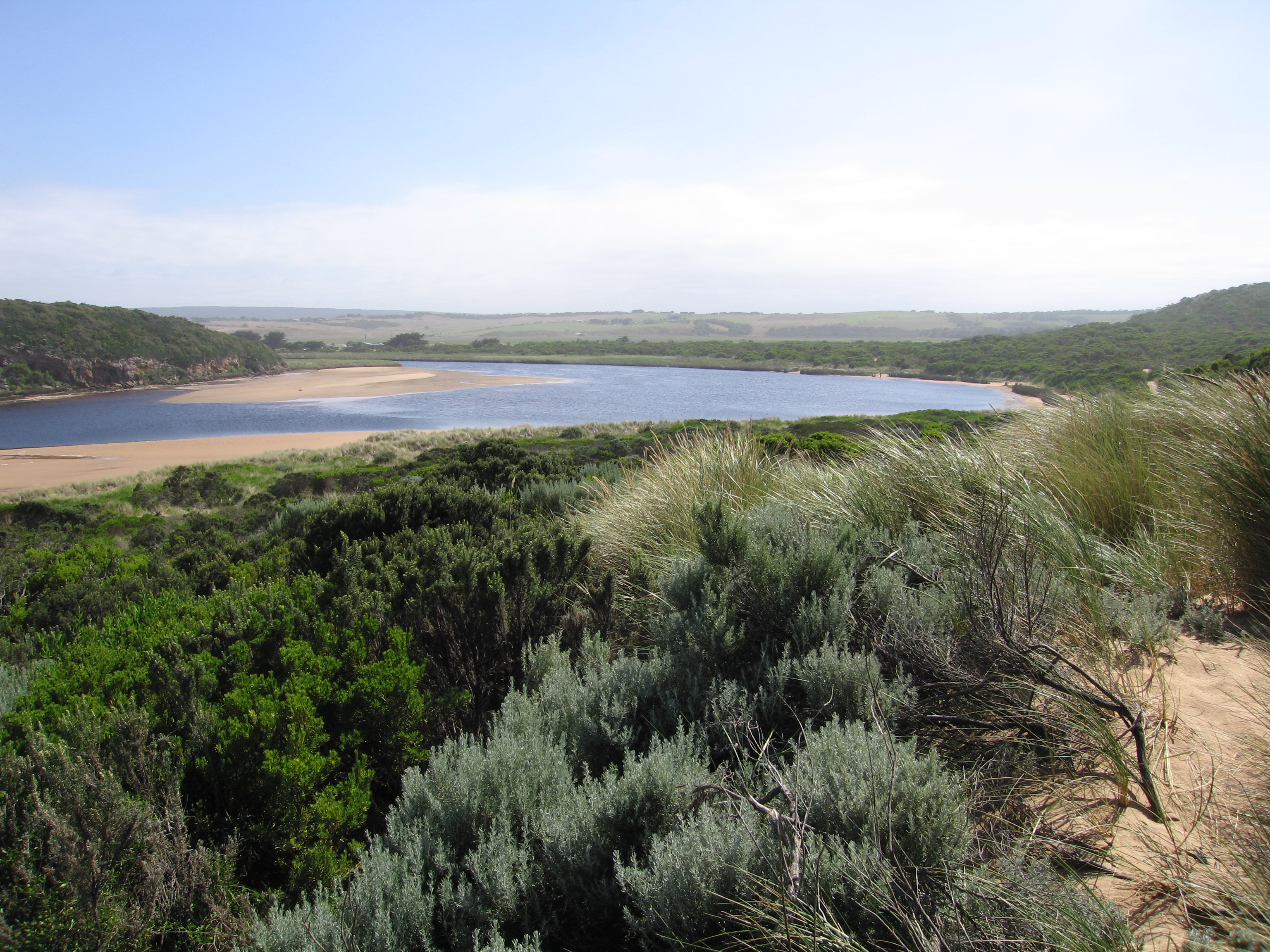
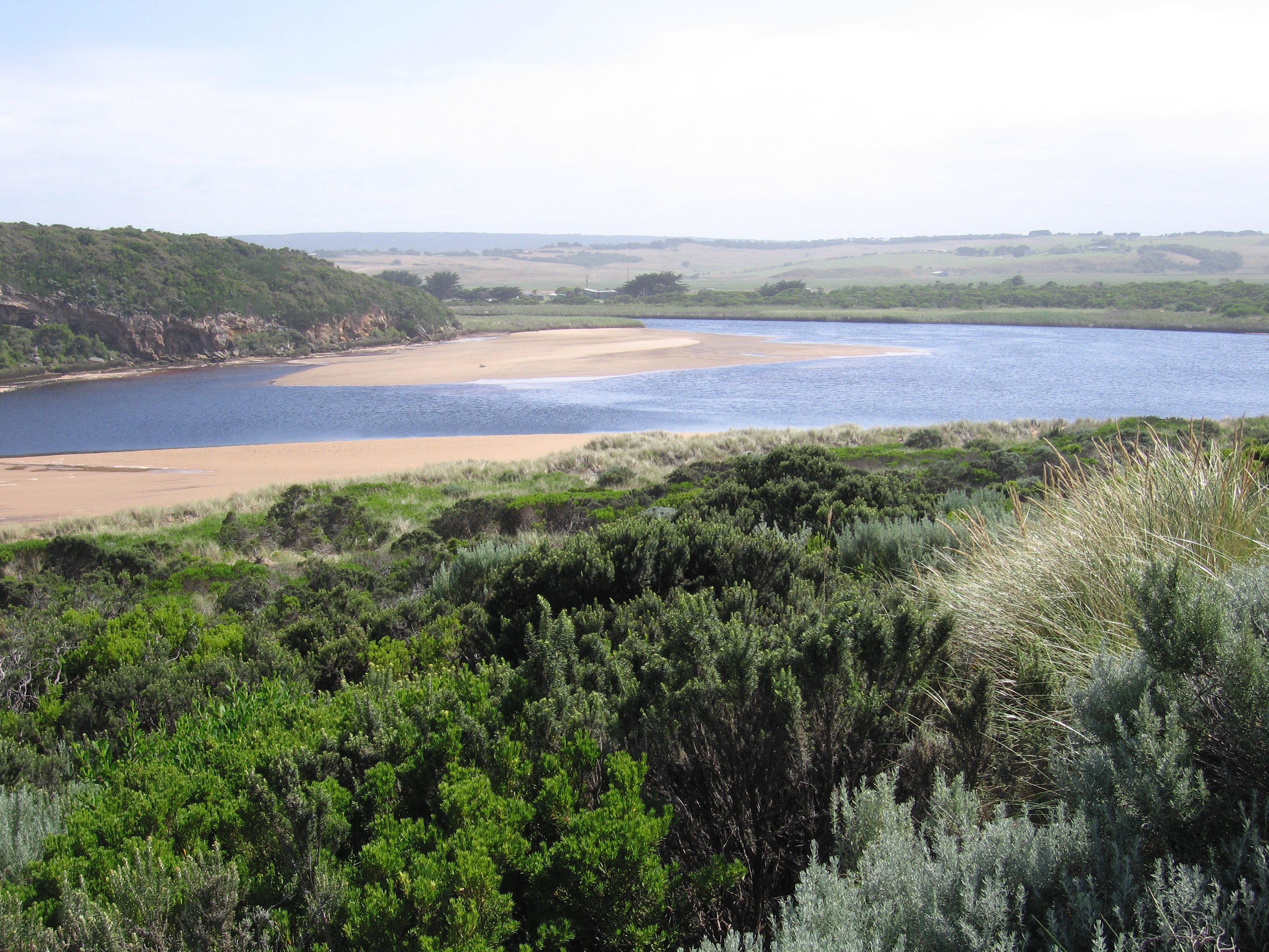
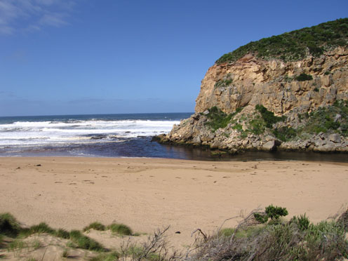
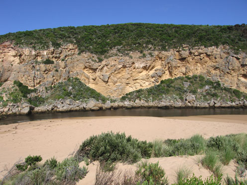
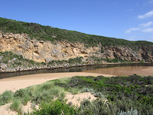
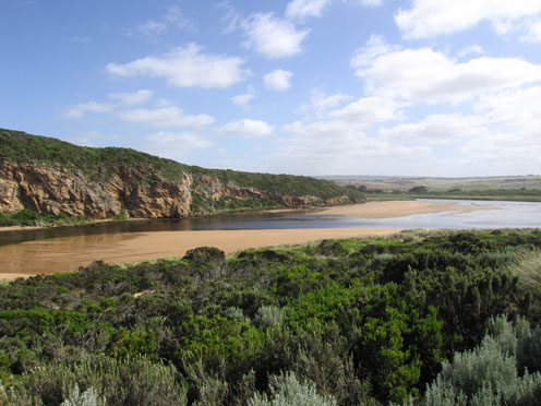
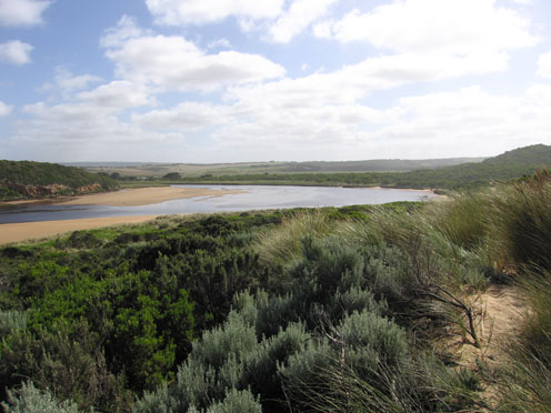
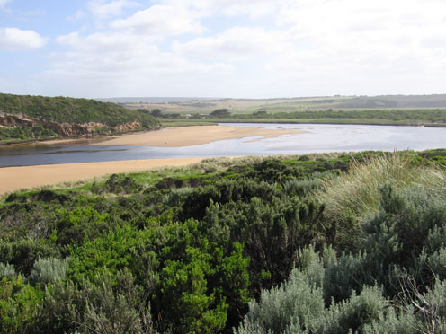
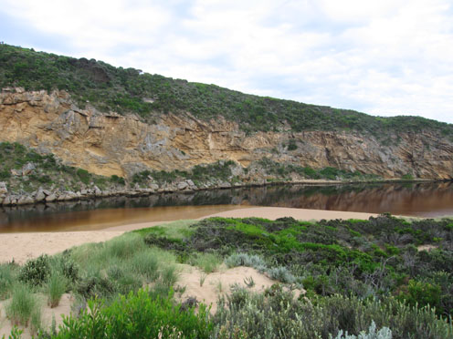
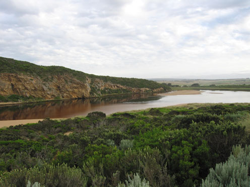
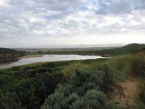
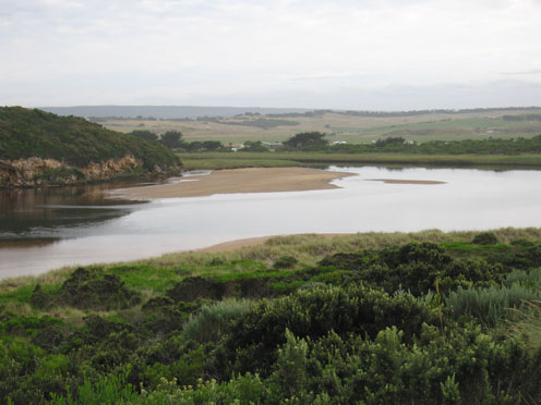
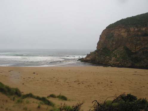
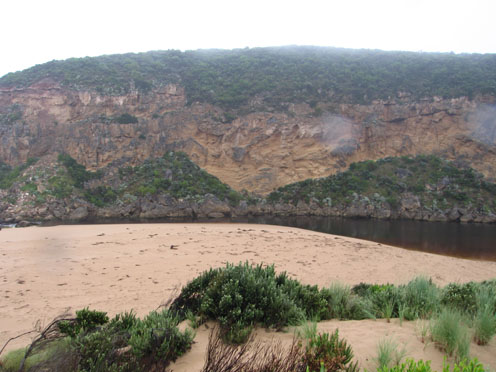
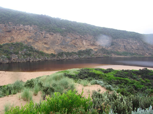
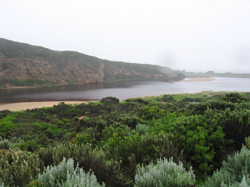
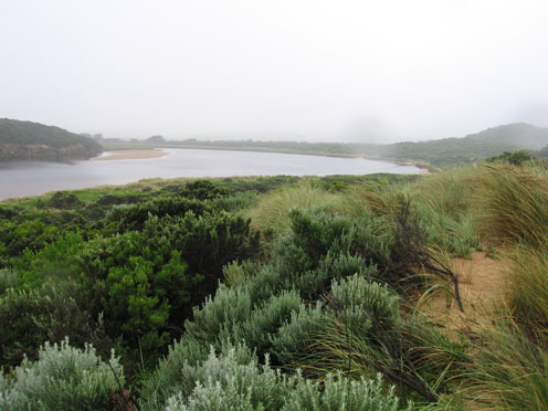
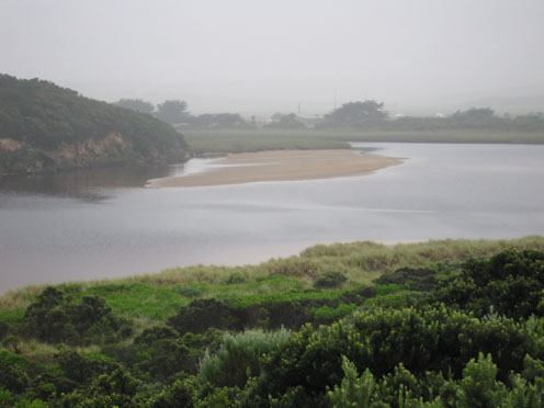
GMC Gellibrand River Estuary Mouth Observation Site
Active Mouth Condition 20-04-2007 - 19-04-2024Gellibrand River Estuary
770 results found (Displaying 211 - 220)
| ID | Date | Status | Details | |
|---|---|---|---|---|
| #4961 | 31 Dec 2010 | Approved |
Notes:
|
|
| #4943 | 7 Jan 2011 | Approved |
Notes:
1. very reduced outflow, dark colour only around mouth 2. Channel near rocks has 30cm. steep sides - possibly caused by increase water release overnight 3.Water flowing mainly between rocks and cliff but also through a small gap between rocks 4.Water very reddish brown in colour 5.There have been very low tides and slight seas during the week. 6.Large sloping area of beach exposed. Also rocks at both ends 7.Caddis fly lavae (7) found about 100m from mouth in sheltered curve of east side of channel 8. Sea grass in estuary reduced and very small 9.Hooded plover still nesting but surrounded by fox,dog & human foot prints |
|
| #4985 | 15 Jan 2011 | Approved |
Notes:
1. Recent very high rainfall has increased flow, mouth is about 30m wide with a 2 tiered metre high leftbank at entrance 2. 30cm steep bank to channel upstream of rocks 3.Water very dark red brown colour 4.Beach -steep rise near entrance 10 large logs on beach + 7 more in estuary. East end of beach is covered by brown foam and silt 5. Hooded plover still around nest but not sitting for long periods as previously 6. Sooty Oyster catcher feeding near mouth. |
|
| #4986 | 15 Jan 2011 | Approved |
Notes:
1. mouth increased in width & flow, Waves entering estuary 2.Ocean beach - high slope to water, large areas covered with brown foam & silt. Foam up to 70cm high 3.Some logs from the estuary are now on ocean beach 4.Considerable longshore drift travelling back to mouth 5. Flood levels still increasing at G6 6.Increase of water birds & large no. of Ravens all along the river 7. Water just over bearer at G4, Rivernook flooded and water covering flats downstream . No water over O.O.R. |
|
| #5457 | 17 Jan 2011 | Approved | ||
| #5024 | 21 Jan 2011 | Approved |
Notes:
1.Very dark & dirty discharge to east and around mouth 2.Water very dark red brown- whole estuary looks 'Black'. Large amount of silt along waters edge 3.East end of beach is covered by about 30m of dark silt & foam . Foam is all around the mouth and travelling back up the channel as waves enter 4 High sloping bank on channel upstream of rocks 5. Hooded Plover nesting site has been trampled - no sign of birds 6. Birds in estuary White faced herons 26, Black Cockatoos 6, Crows 60+, many swallows & Martins 7. Stick Caddis fly lavae 4 |
|
| #5456 | 22 Jan 2011 | Approved |
Notes:
|
|
| #5063 | 28 Jan 2011 | Approved |
Notes:
1.Dark discharge flowing to east, west & around mouth 2.Low tide has exposed rocks at both ends of beach, large sand area gently sloping to sea 18 large logs on beach. 3. Channel width & depth reduced, large area of sand bar exposed 4.Dead fish reported near Latrobe creek (26/01/11) and upstream 5.Dead Penguins 2, at east end of beach 6. Black Cockatoos 6, Golden headed Cisticola 1.(in reeds s/e side of estuary) many crows |
|
| #5103 | 4 Feb 2011 | Approved |
Notes:
1. Discharge reduced, visiable mainly around mouth 2.Water from overnight hi tide has been well up on beach & in estuary where it has impacted on sand dunes and e. side 3.Sand is building up in front of rocks (water on both sides) 4. 'Skin' forming on still water in estuary 5.Many small fish along se & e side of estuary 6.Long dead & decomposing Barracouta (?)100cm. in debris s.side of estuary 7.Whiteheaded Herons 22, on sandbar ( 07:50) increase of crow numbers |
|
| #5123 | 11 Feb 2011 | Approved |
Notes:
1. Reduced outflow, discharge around mouth 2.Large area of sand exposed at mouth (low tide) 3.Channel flowing only between rocks and cliff, small 'whirlpool' carved out behind rocks (upstream) 4. Ocean beach shaped into 2 'bays', long gradual slope to water 5. logs (5) from ocean beach have been returned to east side of estuary and retained behind reeds |
|


All content, files, data and images provided by the EstuaryWatch Data Portal and Gallery are subject to a Creative Commons Attribution License
Content is made available to be used in any way, and should always attribute EstuaryWatch and www.estuarywatch.org.au