EstuaryWatch Data Portal
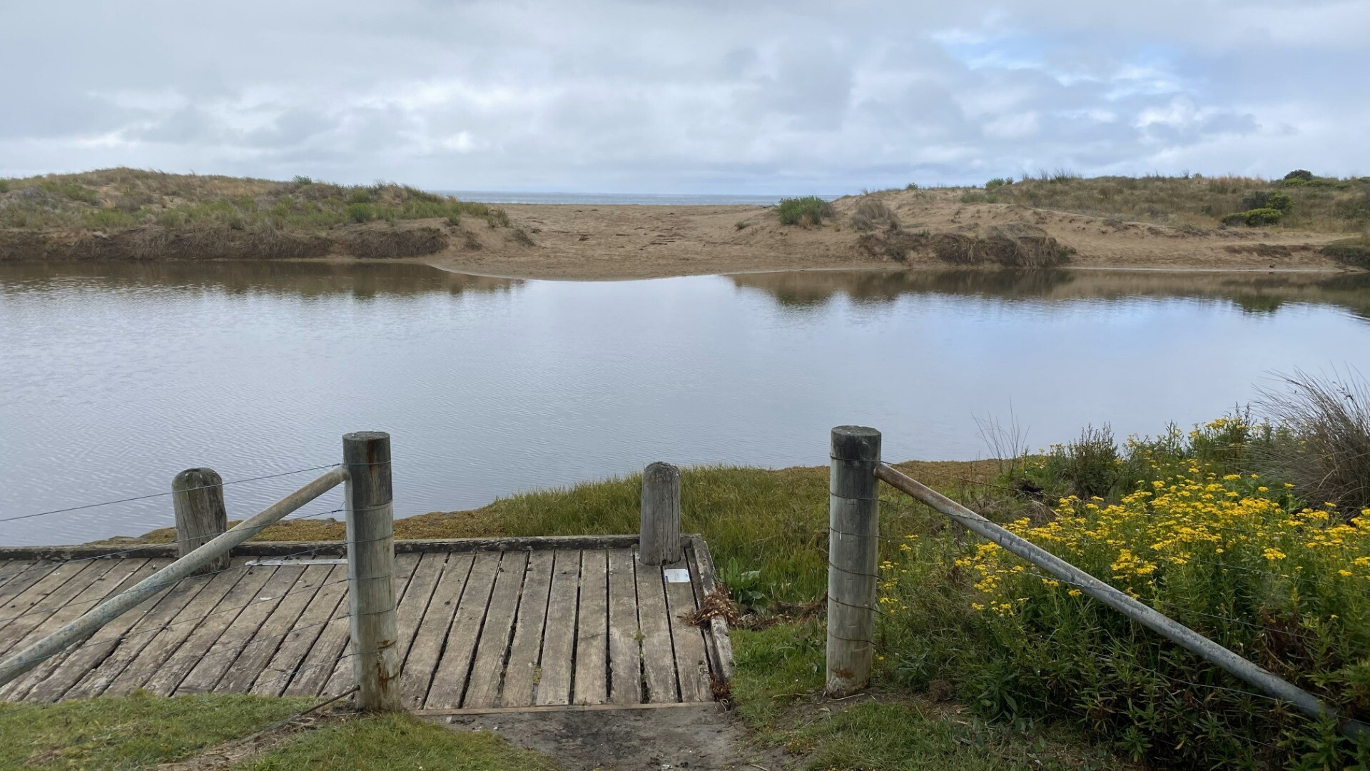
BmMC Barham River Observation Site
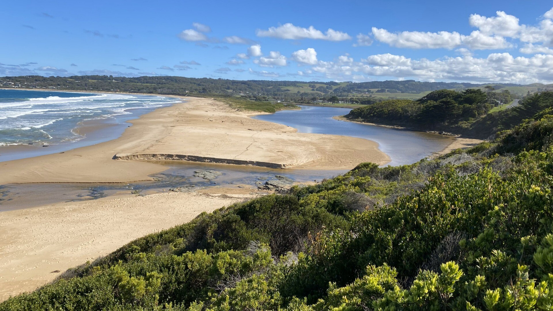
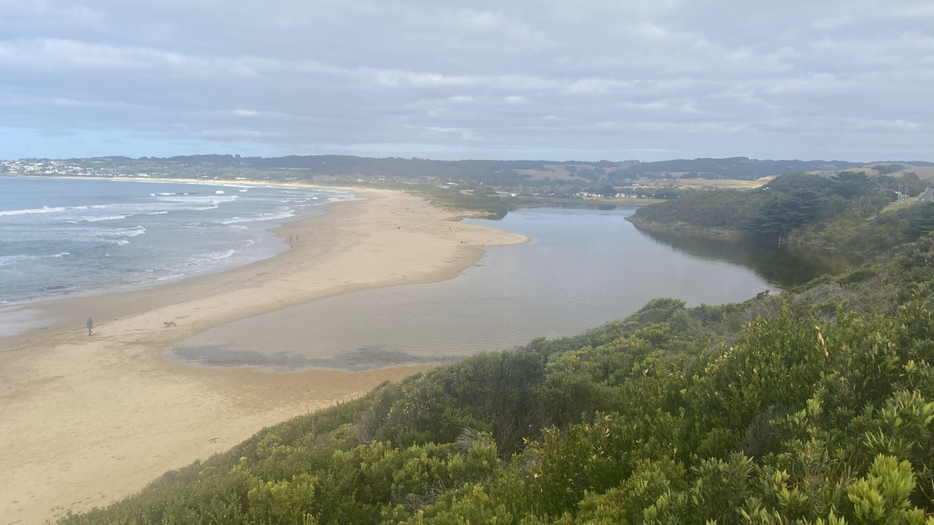
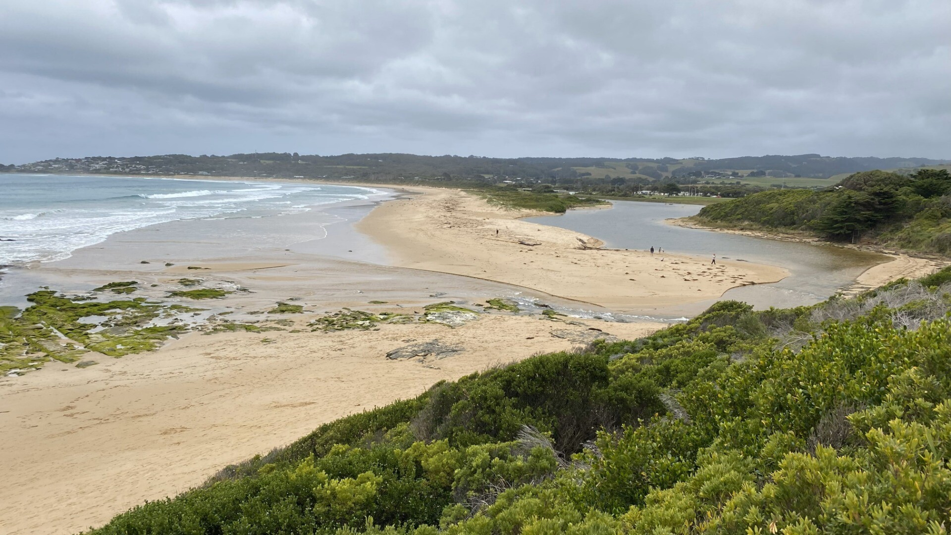
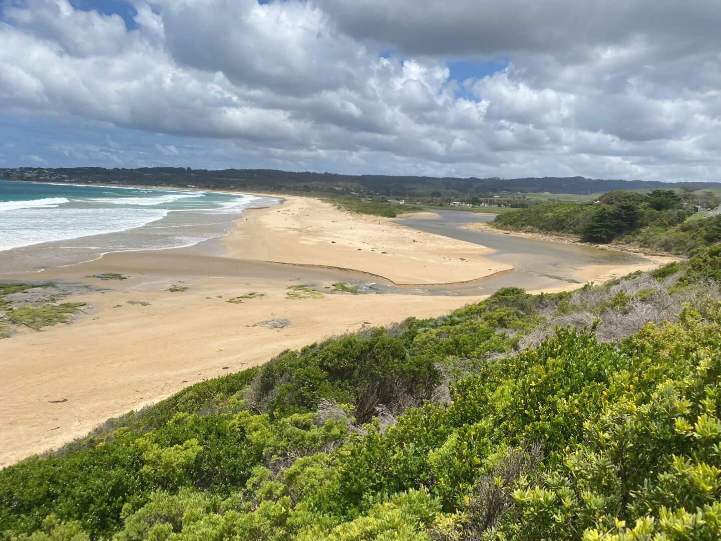
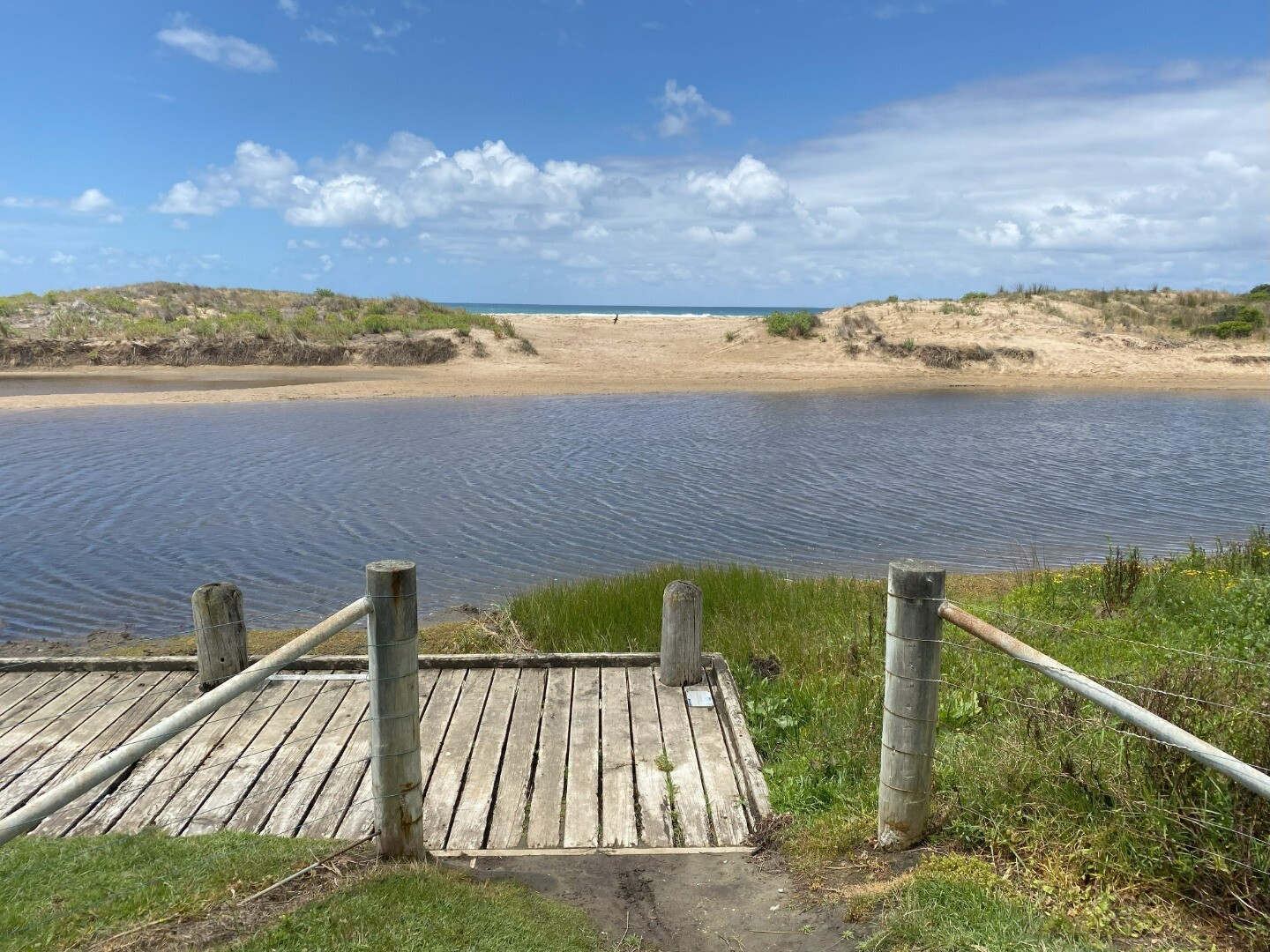
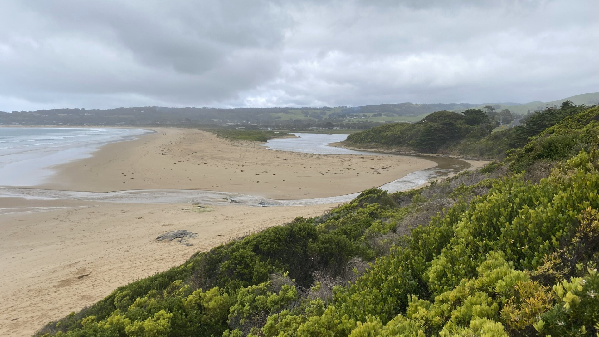
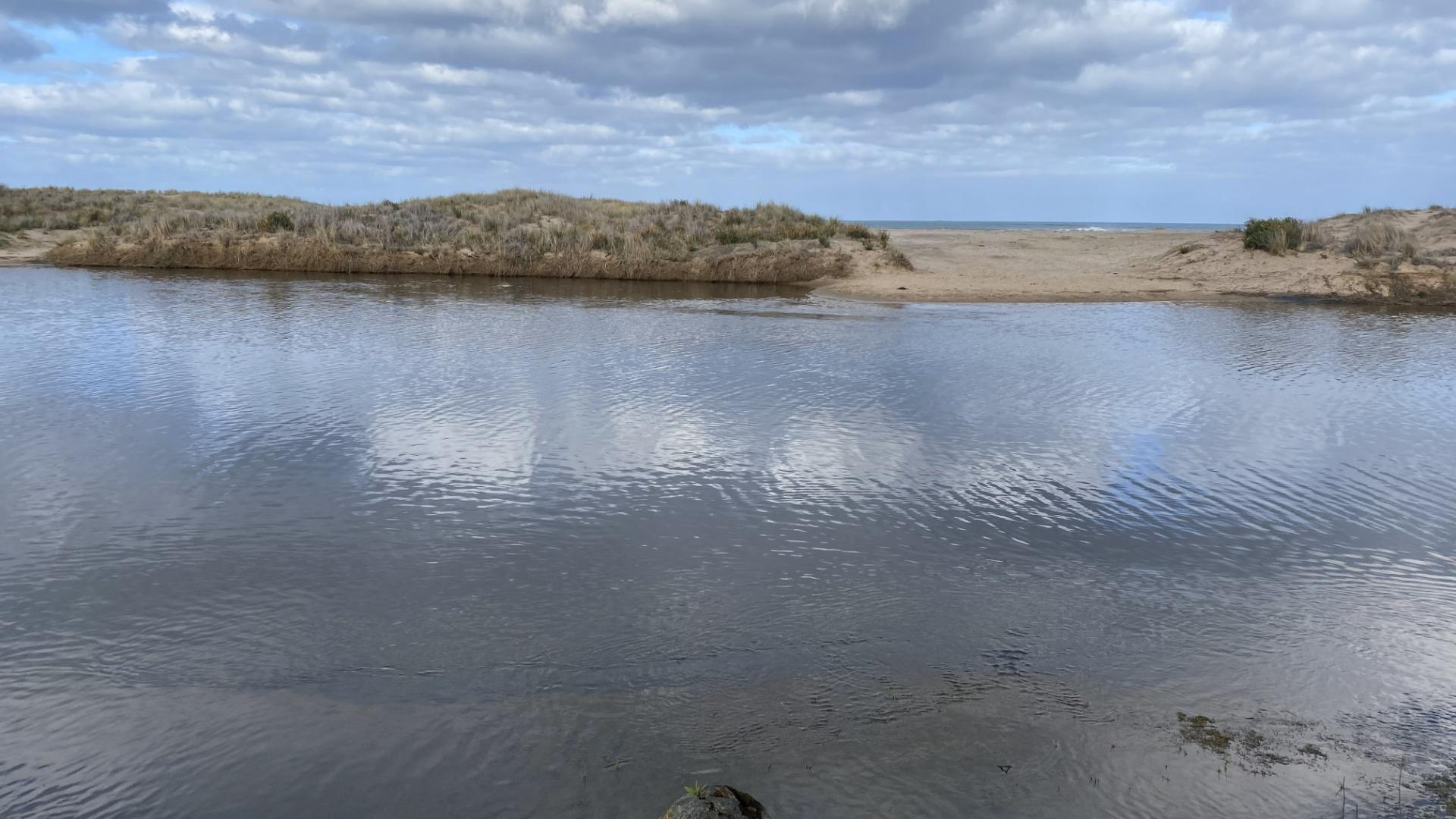
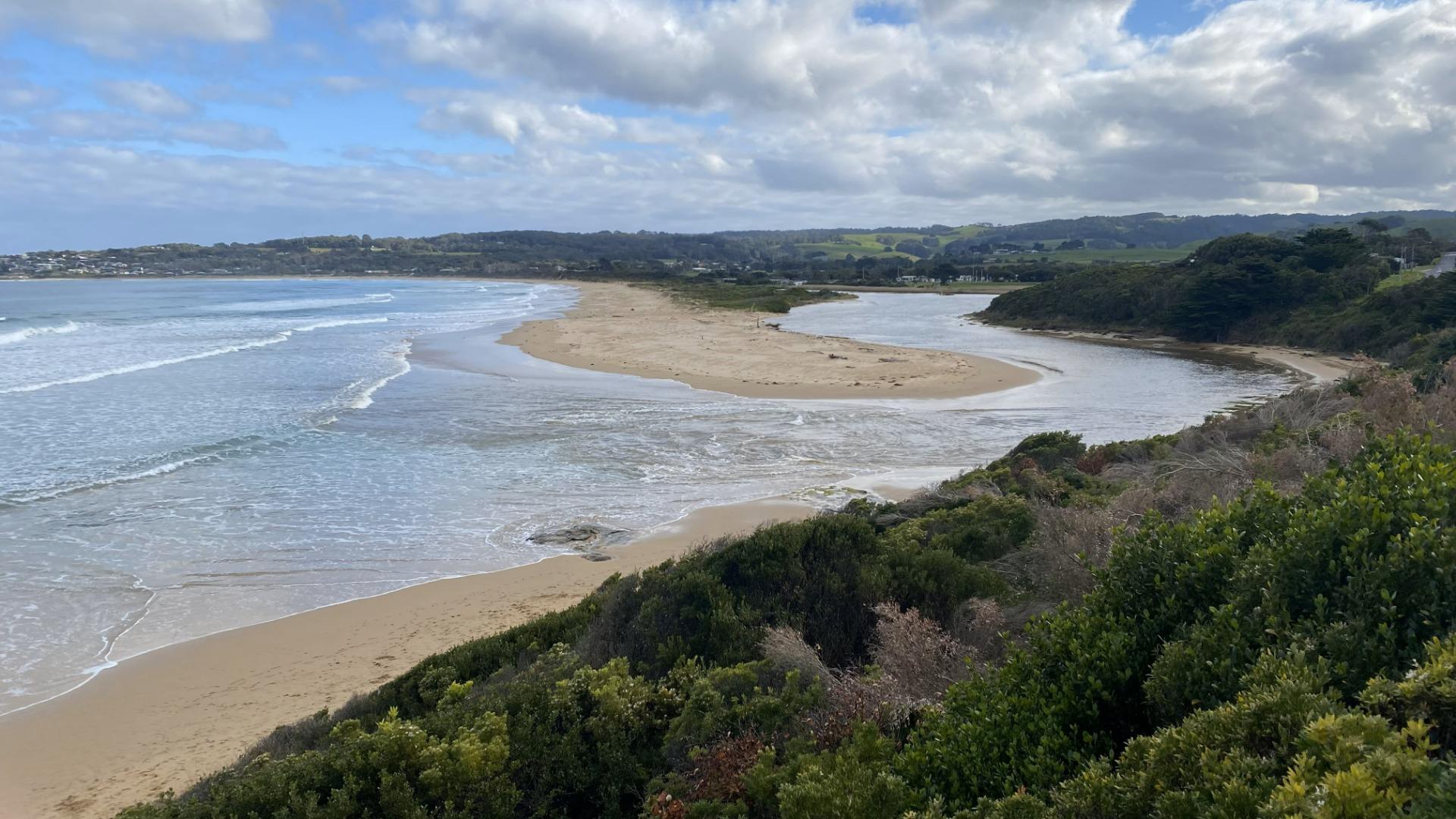
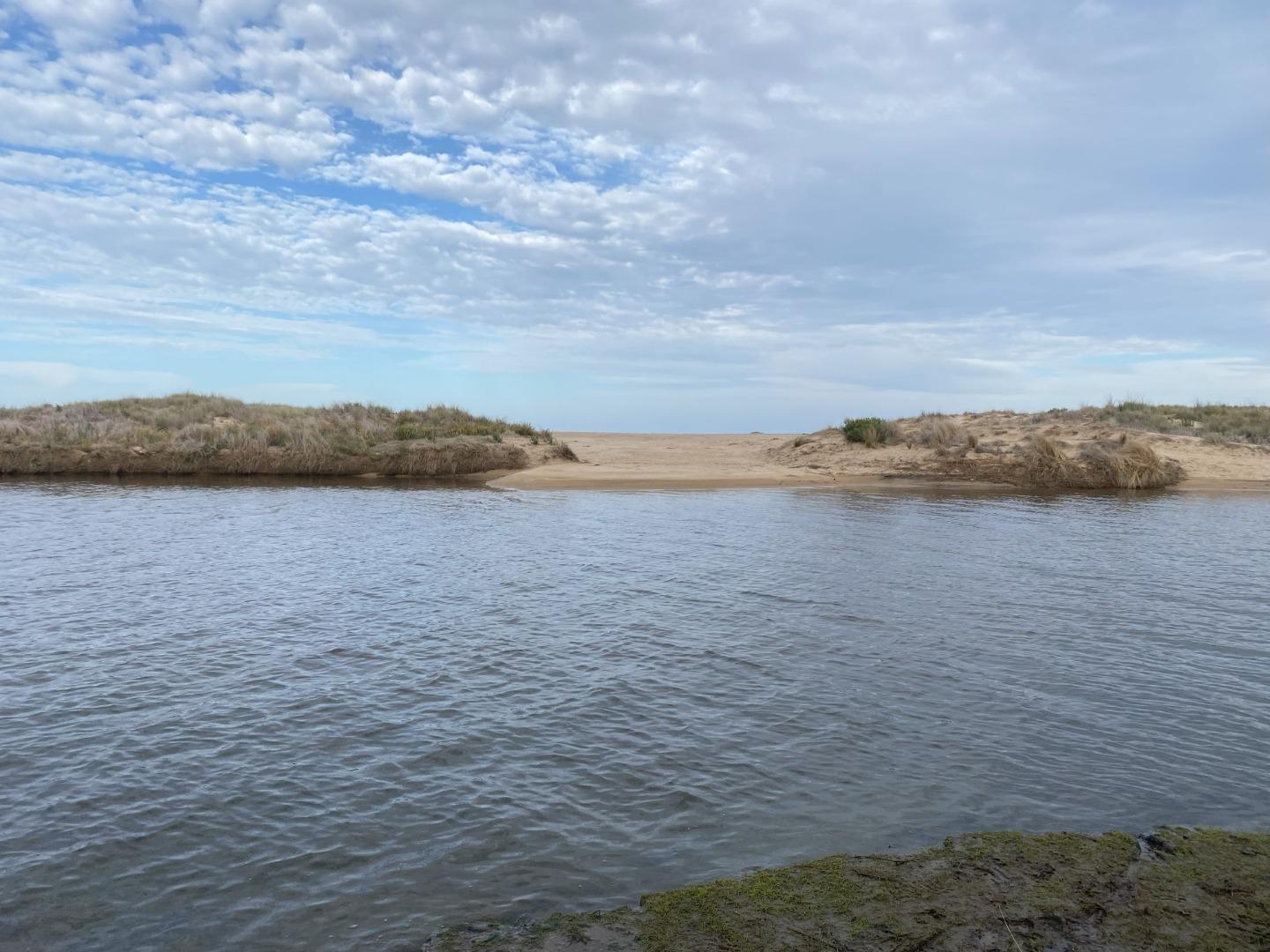
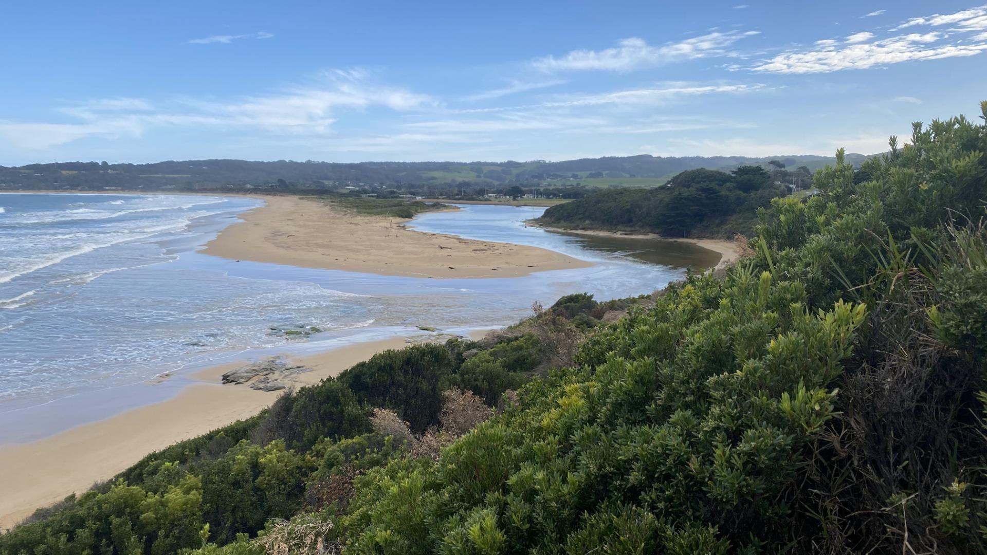
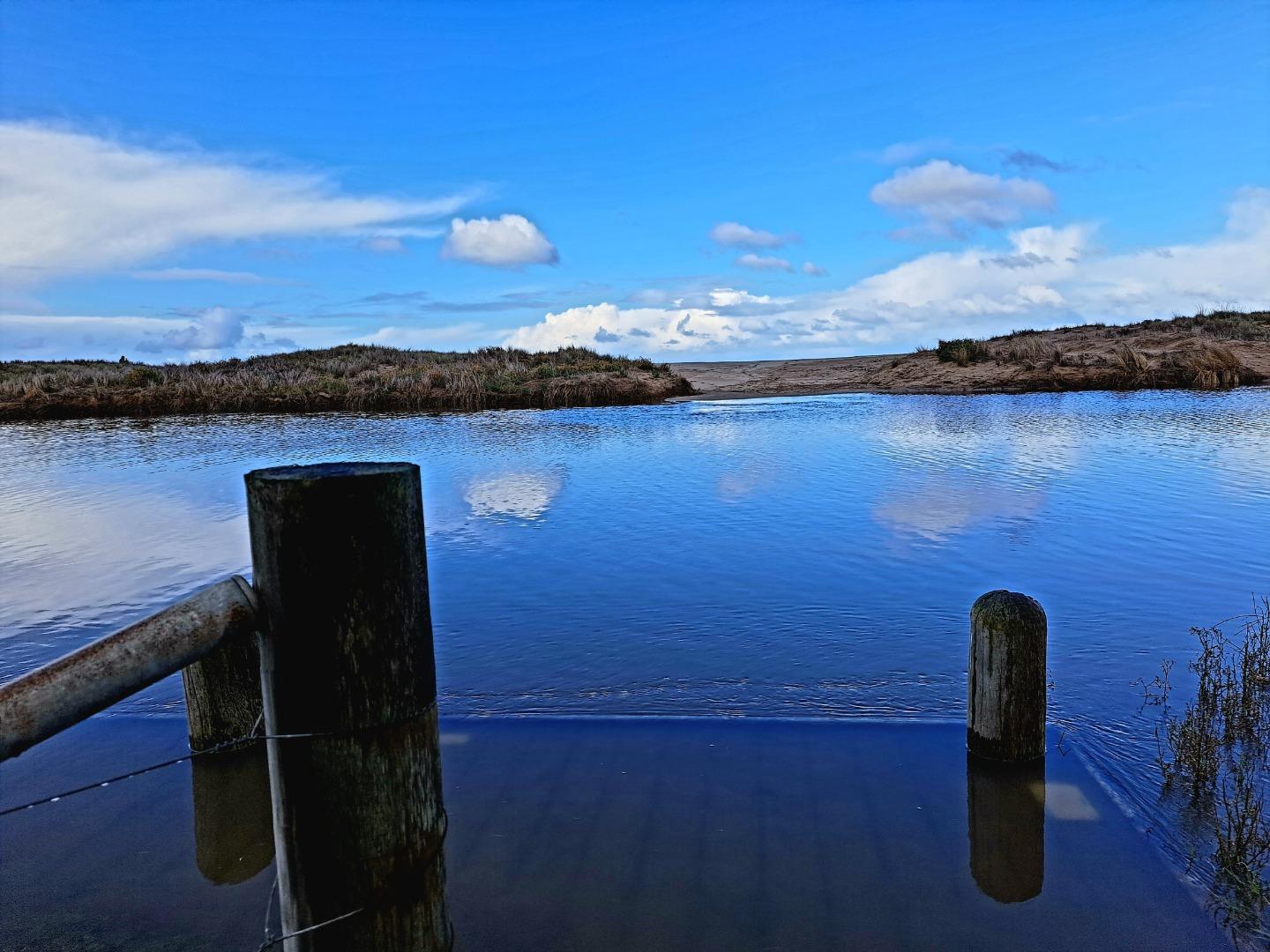
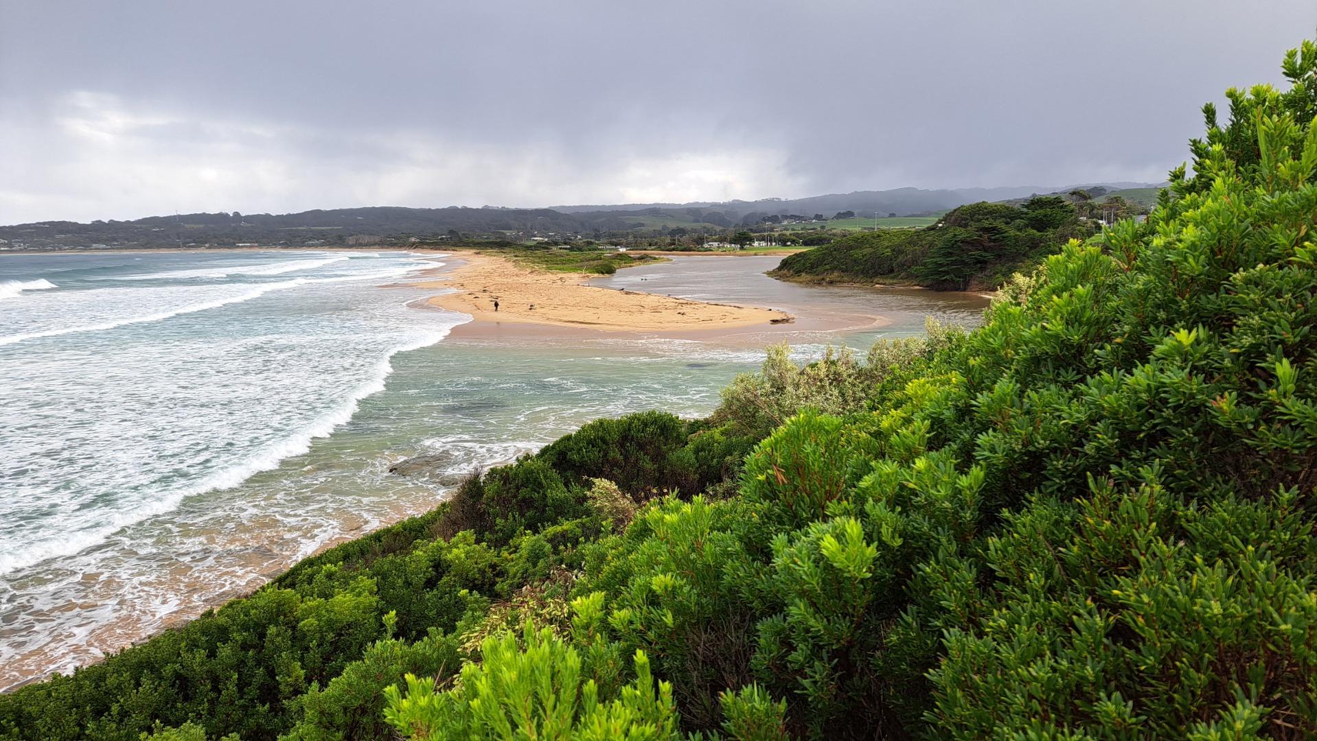
Active Mouth Condition 23-05-2008 - 19-04-2024Barham River Estuary
| ID | Date | Status | Details | |
|---|---|---|---|---|
| #16130 | 19 Apr 2024 | Pending |
Notes:
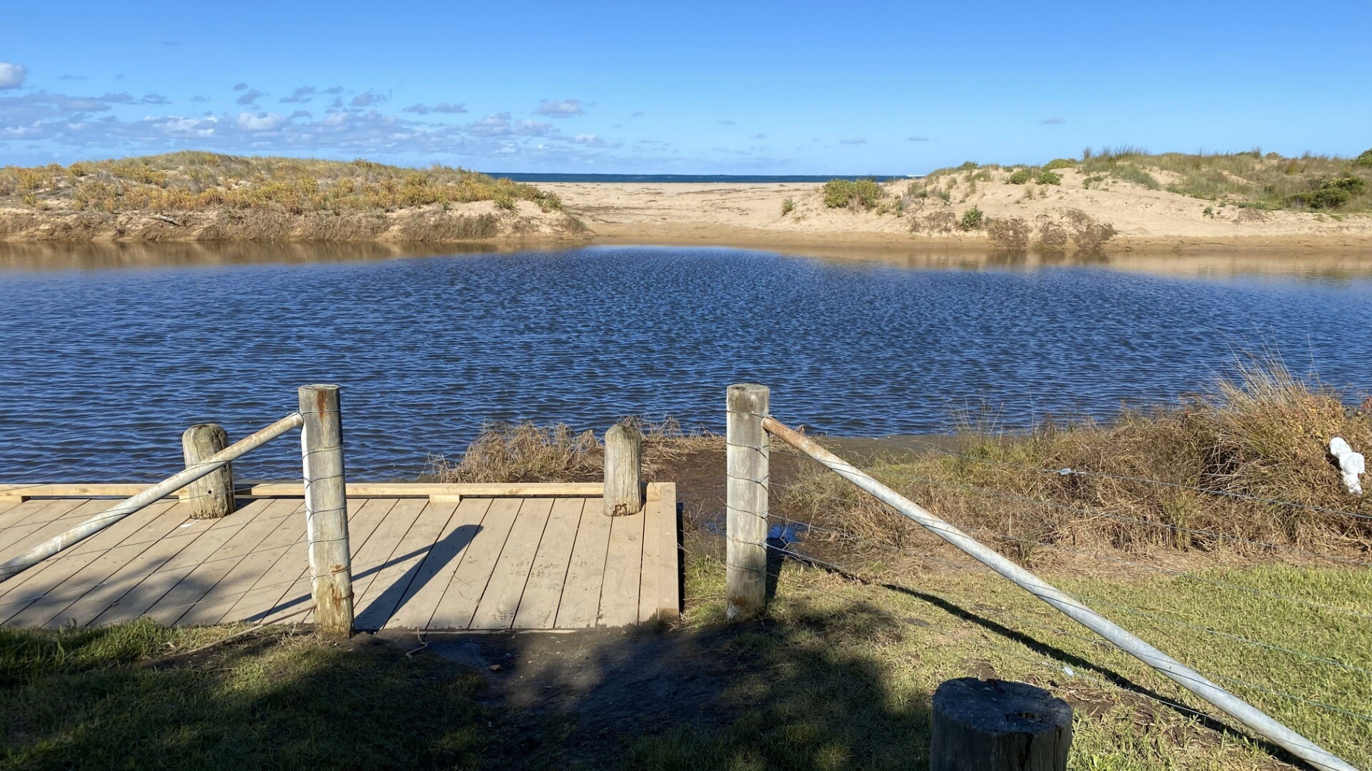
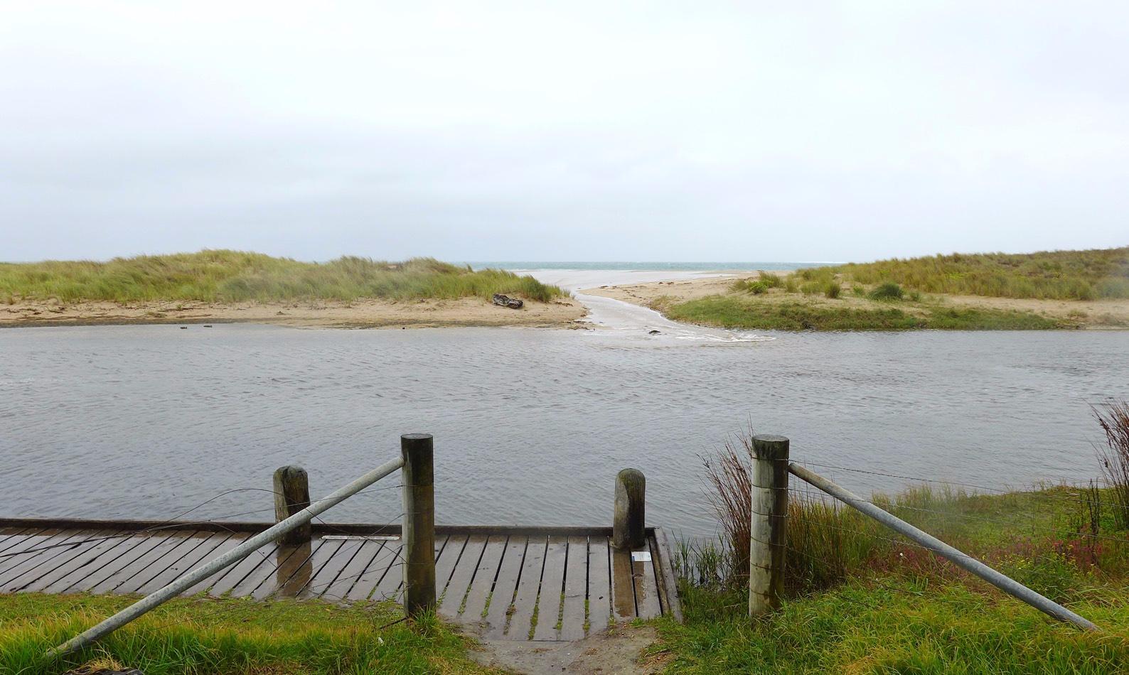
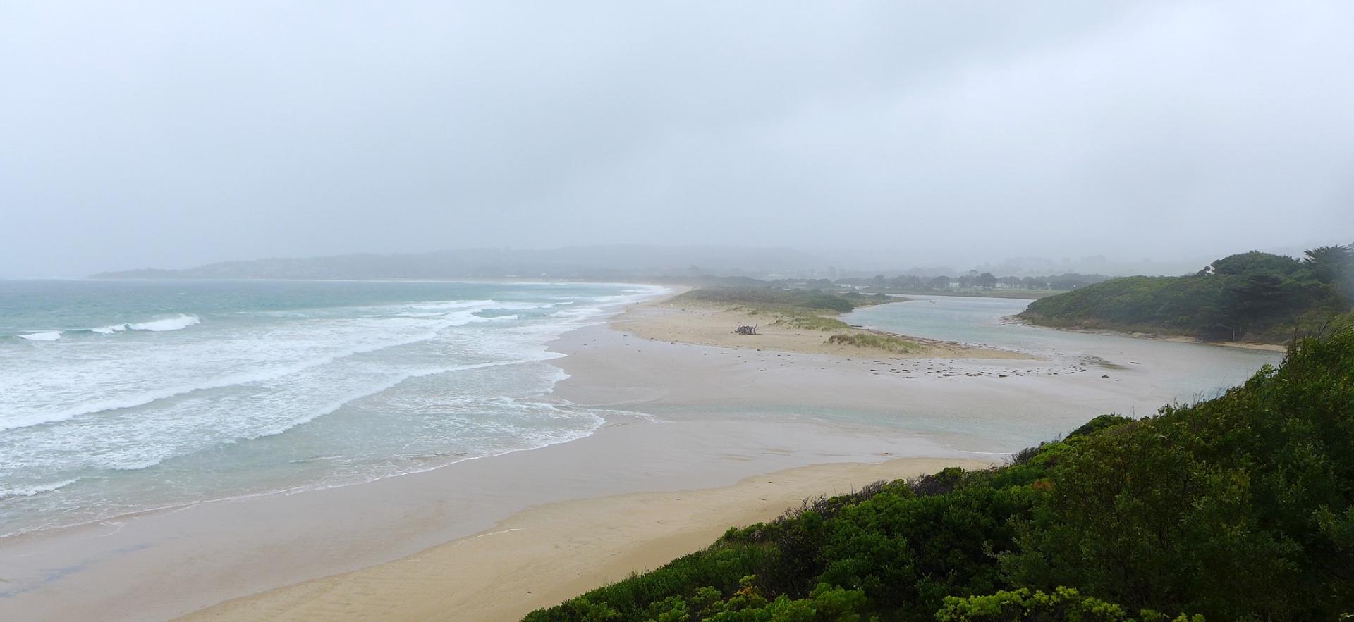
Sea state very variable over previous 2 weeks from flat calm to Rough Cannot measure water level due to lower gauge beng obscured by bushes River mouth was closed until previous day. River level quite high and overflowng banks prior to this.
|
|
| #16064 | 21 Mar 2024 | Pending |
Notes:
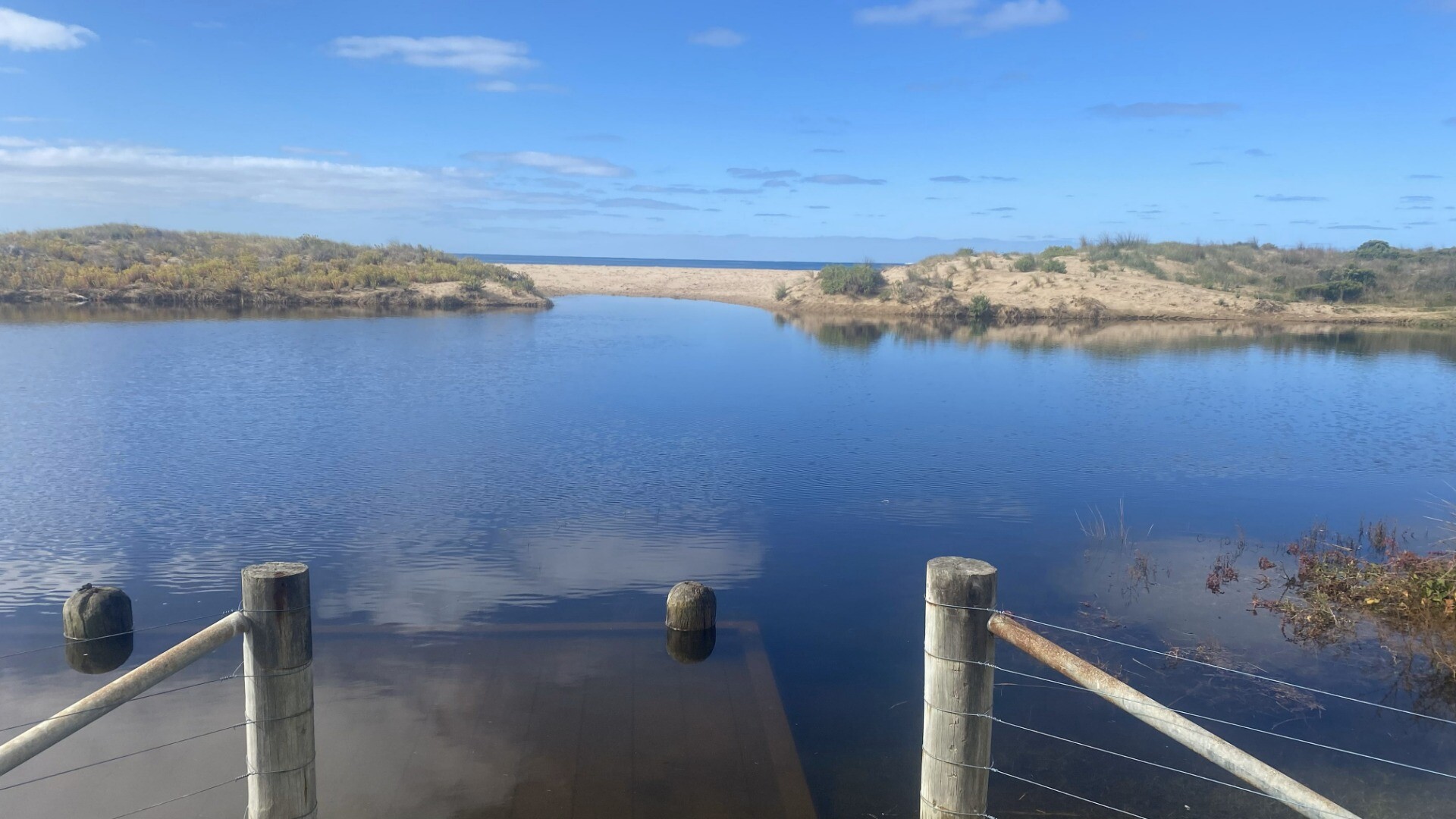
Lower water level marker is still completely obscured by overgrown bushes. Level we;ll below the bottom of higher marker (< 2m) though quite high and over banks in campground. Wind and sea state very variable over last 2 weeks - easterlies predominant varying from still to quite strong winds. Sea state from flat calm to very rough. Observed someone digging small channel to open berm (but they gave up before completing this). Following day, 22nd March, the river mouth had burst through the berm and was fully open agin. |
|
| #15987 | 19 Jan 2024 | Pending |
Notes:
Wind mode last 2 weeks - very variable in both direction and strength from strong eaterly to calm sw
Water level below all measurement markers
Apologies about no tidal data - forgot to complete on day and can't locate retrospectively from weather/tide apps |
|
| #15941 | 19 Dec 2023 | Pending |
Notes:
Water level below height markers |
|
| #15869 | 18 Nov 2023 | Pending |
Notes:
Good to see that access to water level marker has been cleared - thank you Water level was well below the bottom of the marker today Sea state has been very variable over last 2 weeks |
|
| #15720 | 20 Aug 2023 | Pending |
Notes:
Unable to measure water levels due to overgrown tress on riverbank.
We will be away for next watch but will do an assessment around 21 October when we are back |
|
| #15669 | 19 Jul 2023 | Pending |
Notes:
Unable to access water level markers due to overgrown tree Unable to complete Mode for physical condition - very variable over last 2 weeks from completely still and calm to some days of very strong winds |
|
| #15665 | 19 Jul 2023 | Pending |
|
|
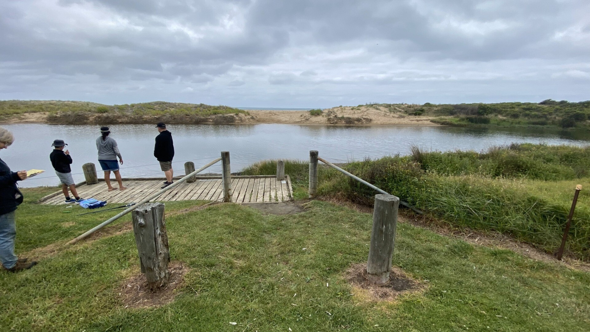
| #15591 | 19 Jun 2023 | Approved |
Notes:
At Bmp2 the platform was under water. Mode for wind and sea state was not assessed as conditions have been highly variable over the last 2 weeks. This was a training session.One wide angle 16:9 Bmp3 photo taken to replace two 4:3 images Water level assessment reading river height gauges could not be completed because of over-growing vegetation. |
|
| #13610 | 13 Mar 2020 | Approved |
Notes:
Rain last 48 hrs = 0 mm; Atmos. pressure = 1011 hPa. Rained continuously during monitoring period! Heavy wind and wave surges pushed water across the berm opposite the BmP2 observation site. These inflows temporarily raised the estuary water level by up to 2 cm. |
|

All content, files, data and images provided by the EstuaryWatch Data Portal and Gallery are subject to a Creative Commons Attribution License
Content is made available to be used in any way, and should always attribute EstuaryWatch and www.estuarywatch.org.au