EstuaryWatch Data Portal
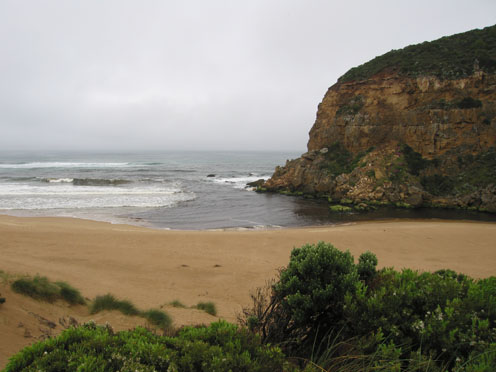
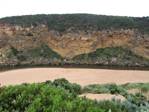
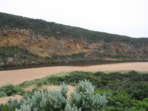
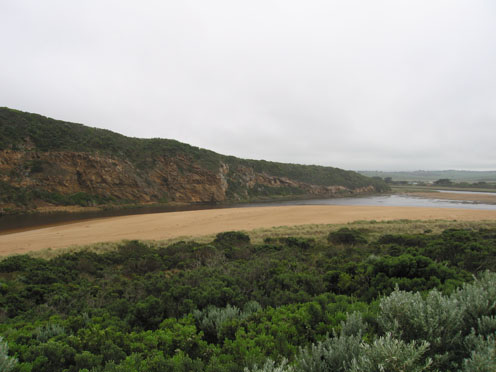
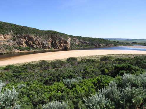
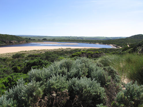
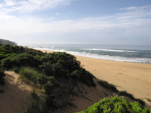
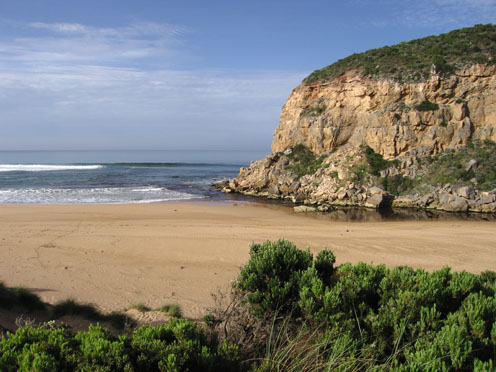
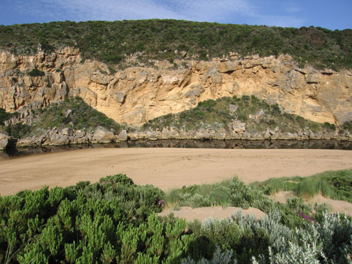
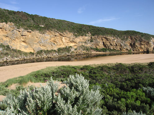
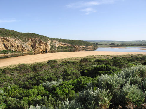
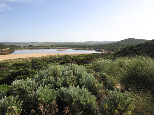
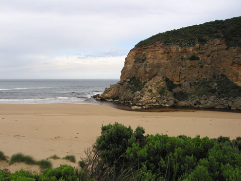
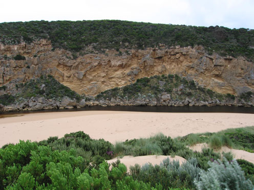
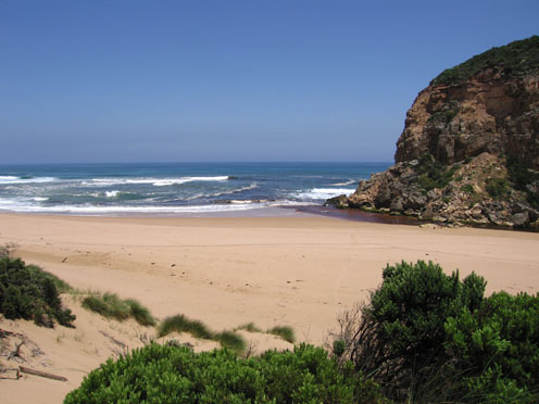
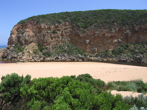
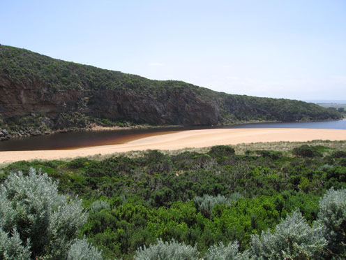
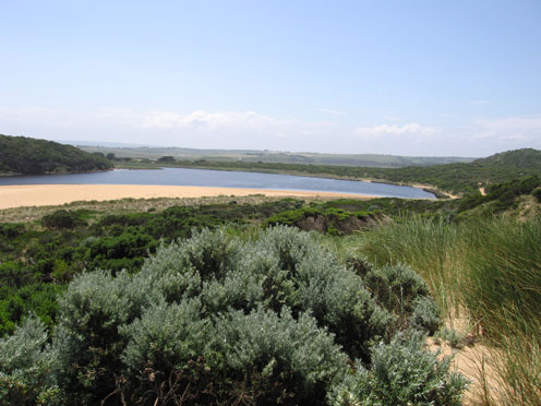
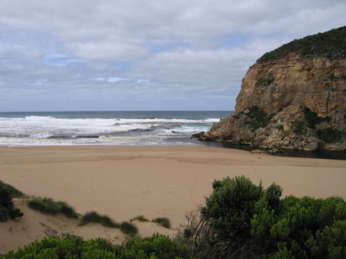
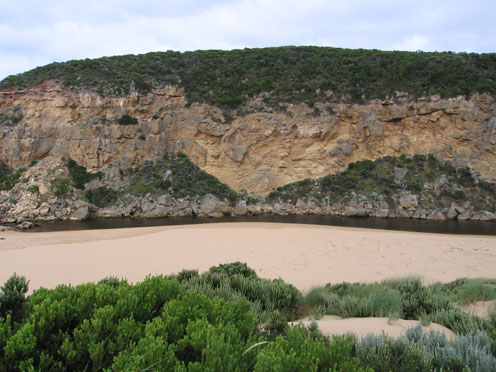
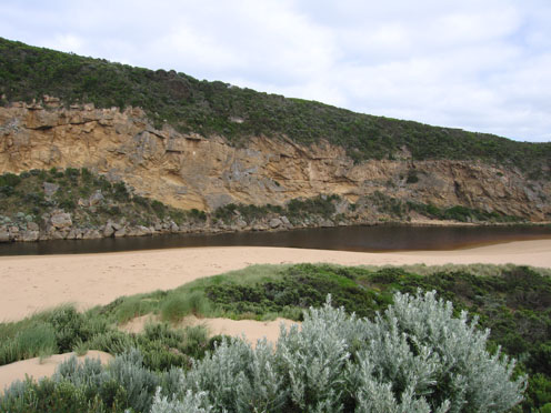
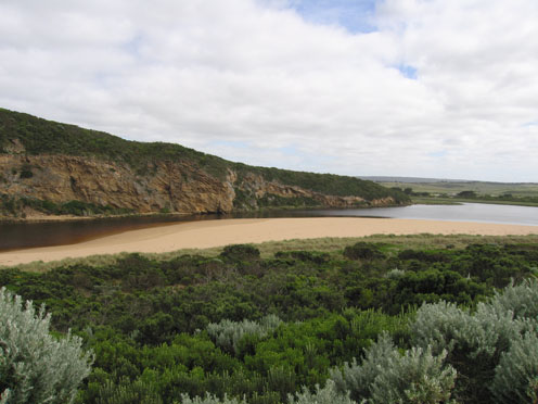
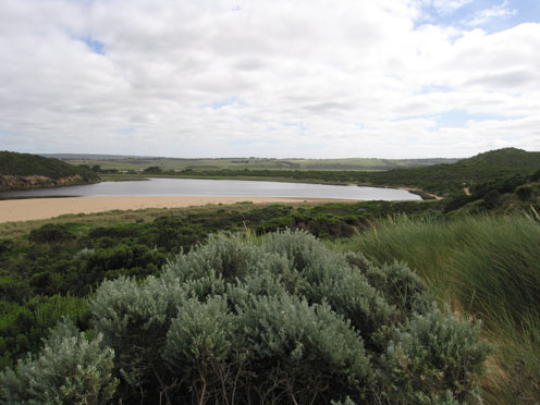
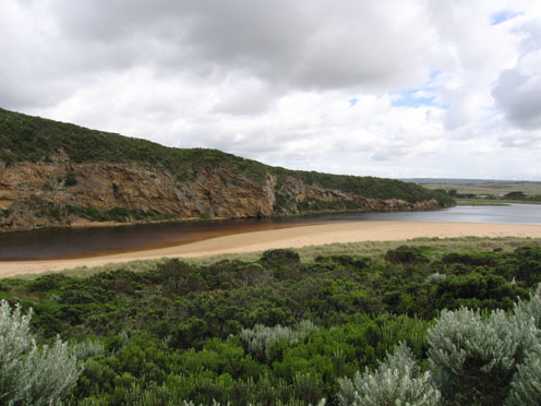
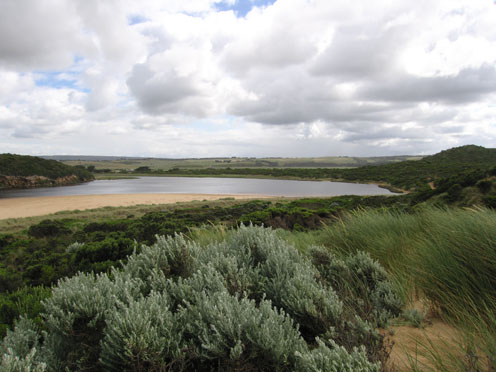
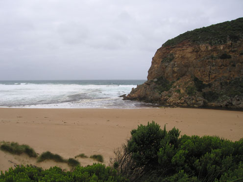
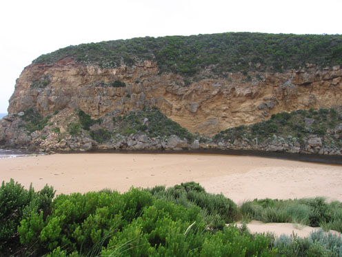
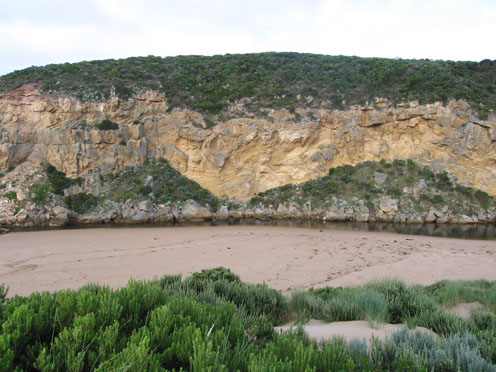
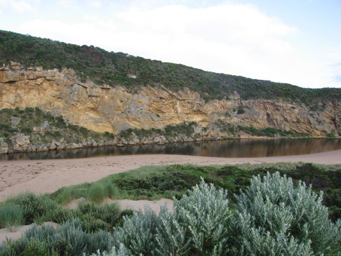
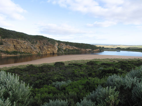
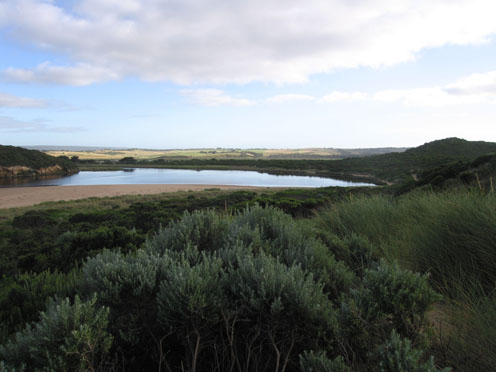
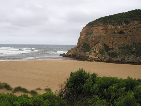
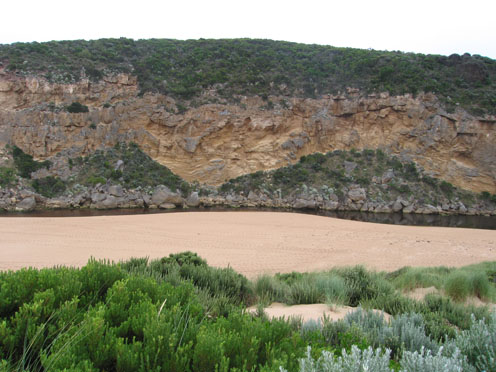
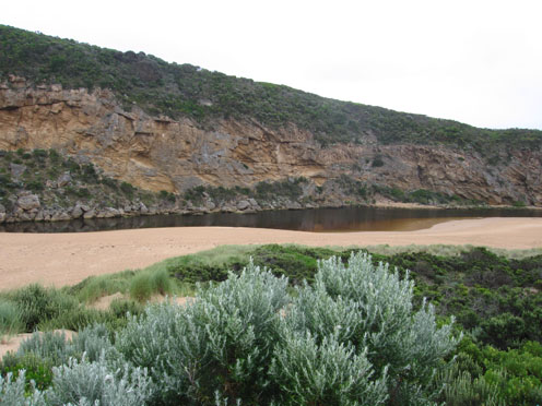
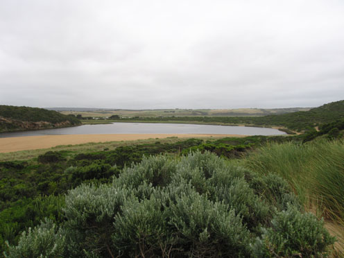
GMC Gellibrand River Estuary Mouth Observation Site
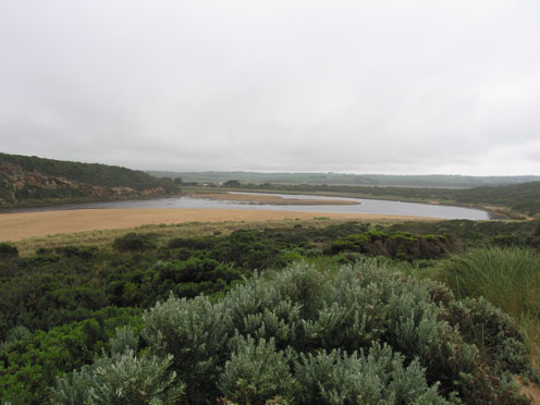
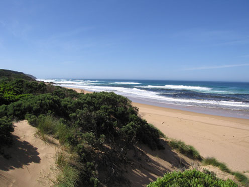
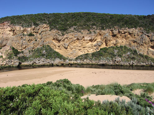
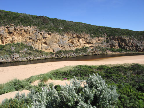
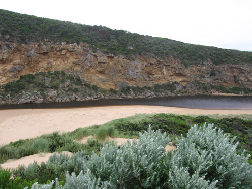
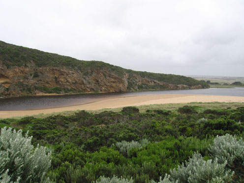
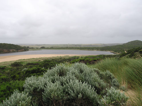
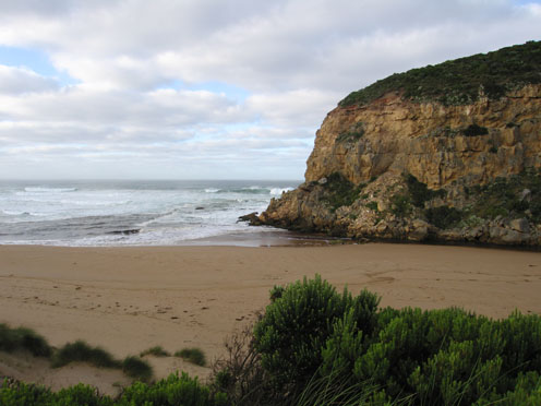
Active Mouth Condition 20-04-2007 - 19-04-2024Gellibrand River Estuary
770 results found (Displaying 141 - 150)
| ID | Date | Status | Details | |
|---|---|---|---|---|
| #2761 | 31 Oct 2009 | Approved |
Notes:
1.Extremely low water level in estuary, sand bars covering a large area. Sea grass exposed (about 8m) on east side of estuary 2.Reducing dark brown discharge around mouth & to west. Some to about 50m. east 3.New sand projection starting near mouth (about 30m. from rocks) 4.Small area near rocks at east end of beach has been scoured out . The sand projection of the last few weeks remains about 50m west and is increasing along the beach to new area.(Horseshoe shape flattening out) 5.Visiability reduced because of sea fog. & 7ml. rain at G6 (30.10.09) 6.Senecio elegans is now flowering around the Ocean beach car park and along the western cliff(as well as everywhere else along the dunes) |
|
| #2785 | 7 Nov 2009 | Approved |
Notes:
1. Dark discharge to near east end of beach and out to sea for about 50m. Also discharge to west and around mouth. 2.Sandbars and sea grass exposed in estuary 3. Beach- large areas of sand exposed, more sand at mid beach and near mouth 4.Blue dragonflies along s/e side of estuary. 1 dead bush rat. Large no. of moth's wings at tide mark in estuary. |
|
| #2804 | 14 Nov 2009 | Approved |
Notes:
1.Low water levels, sandbars in estuary exposed. 6 shellduck on sand bars 2.Channel reducing in size. Sand has built up near rocks, at times there is no flow on east side. Main flow is between rocks and cliff. Increase of sand in channel(long shore drift) between rocks and mouth 4.Reduced dark outflow, small area of discharge around mouth, none to east or west. |
|
| #2823 | 20 Nov 2009 | Approved |
Notes:
1.Some dark discharge around mouth. Much reduced flow.Channel infront of rocks about 7m.wide, depth decreasing Sand building up in front & behind rocks (longshore drift).Very large increase behind rocks 2. More sand visiable beach area on eastern side of mouth. Height of beach has increased -mid beach 3.more water in estuary,'skin' starting to form over rotting vegetation s/e side. Many small fish 3-5cm in that area 4.Dead Petrel on sand in estuary(near mouth 5.No rain since 2nd & 3rd Nov. - 12ml |
|
| #2849 | 27 Nov 2009 | Approved |
Notes:
1.Dark reduced discharge around mouth (to about 50m.)and to west. Paler reduced discharge to east and going out to sea near eastern end of beach. A lot of sand visiable in waves 2.Depth at entrance reduced 1m. to 1.5m. Sand build up on east side increasing and more sand behind rocks.(longshore drift) No flow at all on east side 3. water level in estuary higher, many small fish s/e side. Algae forming. Many moth wings along high water mark 4.Large flock of gulls circling beach. 6 dead petrels on high tide mark in estuary.( old remains) 5. Australian lotus plant in flower (rare) |
|
| #2883 | 4 Dec 2009 | Approved |
Notes:
1. Dark discharge around mouth & to the west . Paler colour out to sea (about 50m.) also along shore line to about 1/3 way from mouth. 2.Water passing only between rocks and cliff because of sand build up. 3.More sand on east side of entrance, increasing because of longshore dirft. Width of deepest area at mouth 2-3m.- depth 1.- 1.5m. 4.Width of channel infront of rocks 5-6m. More sand in channel 20-30 m upstream of rocks 5. 44ml rain upstream from 091127-091204 has assisted flow |
|
| #2913 | 11 Dec 2009 | Approved |
Notes:
1. Greatly reduced outflow, slight pale discharge around mouth, large amount of sand visiable in rough water 2. Large sand build up at mouth. Channel between rocks and entrance now only 10 -50cm.deep Width between rocks and cliff 2m. 3.High sand build up mid beach, longshore drift bringing more sand into channel.Area behind rocks has more sand 4.Water level in estuary higher.Wide variety of coloured seaweed at high tide mark 5.Gladiolus undulatus flowering along low track to beach |
|
| #2941 | 19 Dec 2009 | Approved |
Notes:
1.Rainfall at G6. (16.12.09-19.12.09).= 36ml 2. More sand at entrance, shallow from rocks to sea.More sand against cliffs Discharge around mouth and out to 2nd sandbar. Some to about 1/3 to east along shoreline. 3. Longshore drift bringing more sand into channel, water going in all directions at mouth. Occaisonally a small wave entering mouth 4. Sand build up along beach -much higher. Evidence of water high up on beach and in estuary during last high tide 5.Dark Kestrel near cliffs and around estuary |
|
| #2961 | 26 Dec 2009 | Approved |
Notes:
1.Reduced outflow, mainly around mouth & slightly to the east .Some lighter coloured water slightly to west. 2.Entrance is very shallow and channel has moved to east as sand has built up against the cliff 3.Some waves entering estuary down east side of channel. Longshore drift is continuing to bring sand from mid beach into channel. Beach is high/steep above water. 4.Water mark from last high tide- nearly to base of dunes at corner of estuary 5.Channel behind rocks about 4-5m in width 6.Sand covering rocks at east end of beach 7. Kestrels (3) flying around estuary. 8. 2.5ml rain from19.12.09 - 26.12.09 |
|
| #2983 | 1 Jan 2010 | Approved |
Notes:
1. Slow outflow, discharge only around mouth 2.Entrance shallow with channel reduced upstream of rocks 3.Steep front on beach with longshore drift bringing more sand into channel. Waves in all directions at mouth.Occassional wave entering channel - movement up-stream evident into estuary 4. 1. Dead fish (photo) east side of estuary. 5.Rotting vegetation on edge of estuary s-side, also green algal growth under water in line along edge 6.Many small fish active near sea grass and shallow area (s/e side estuary) 4.sand build up becomming visiable below recent rock fall 5.Many fish carcase's being left in water near seagrass area by fishermen |
|


All content, files, data and images provided by the EstuaryWatch Data Portal and Gallery are subject to a Creative Commons Attribution License
Content is made available to be used in any way, and should always attribute EstuaryWatch and www.estuarywatch.org.au