EstuaryWatch Data Portal
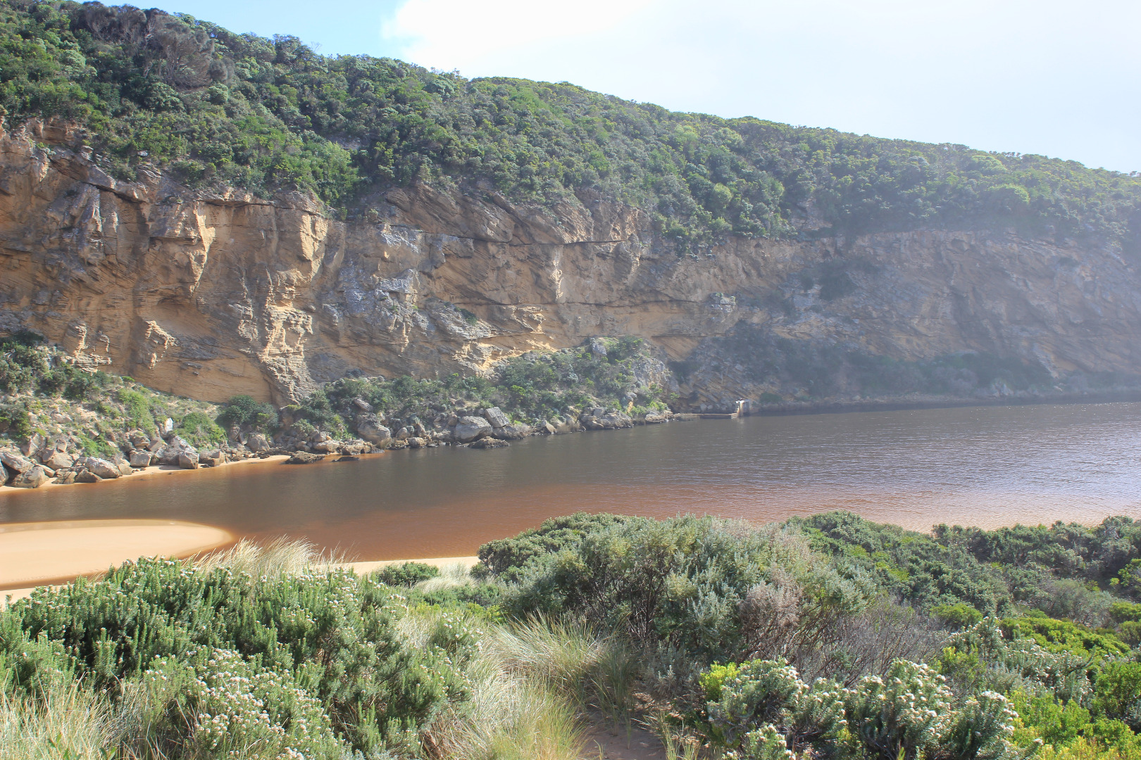
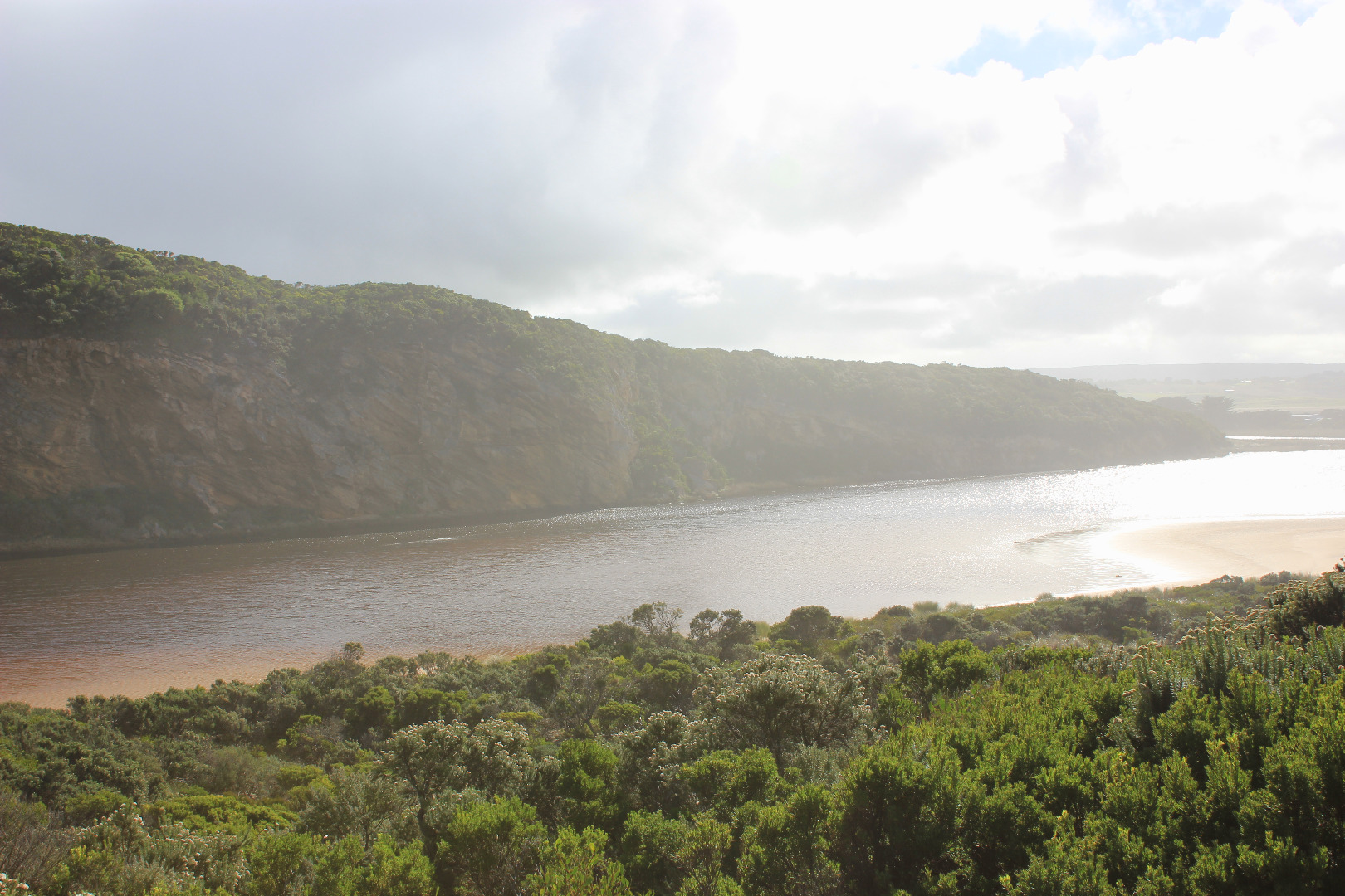
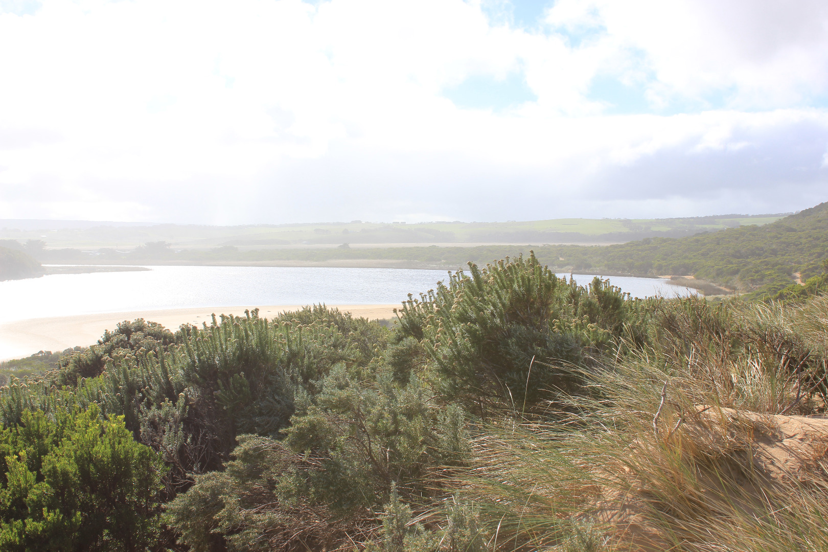
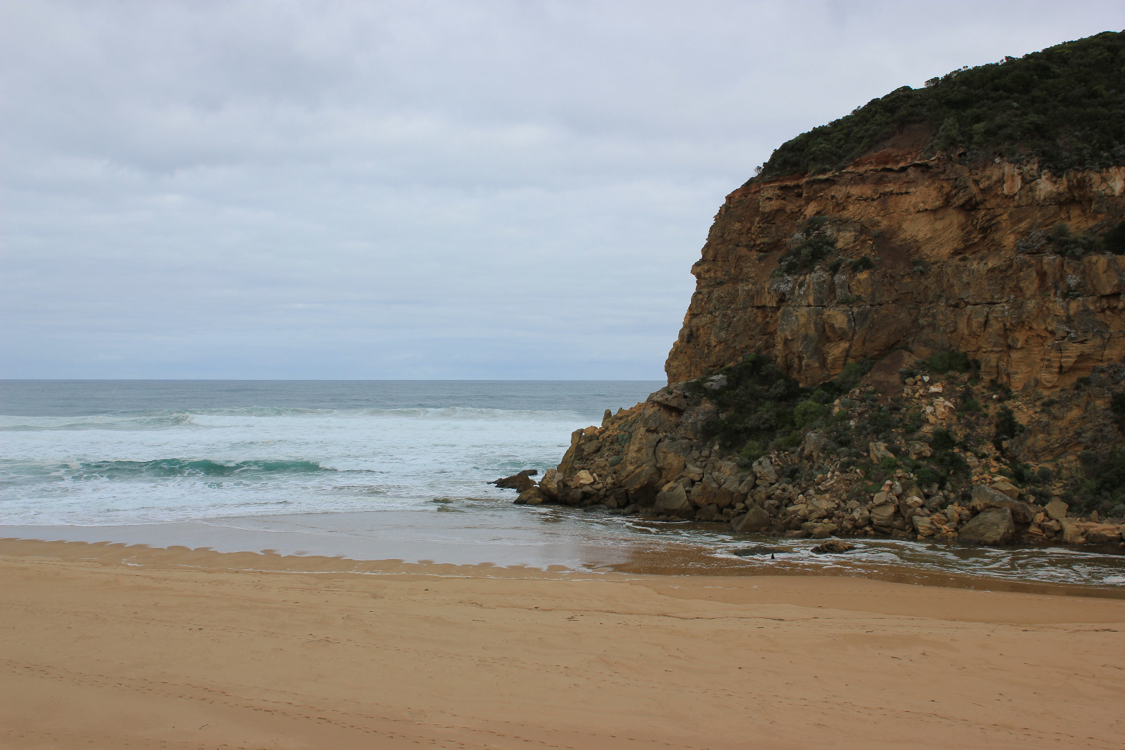
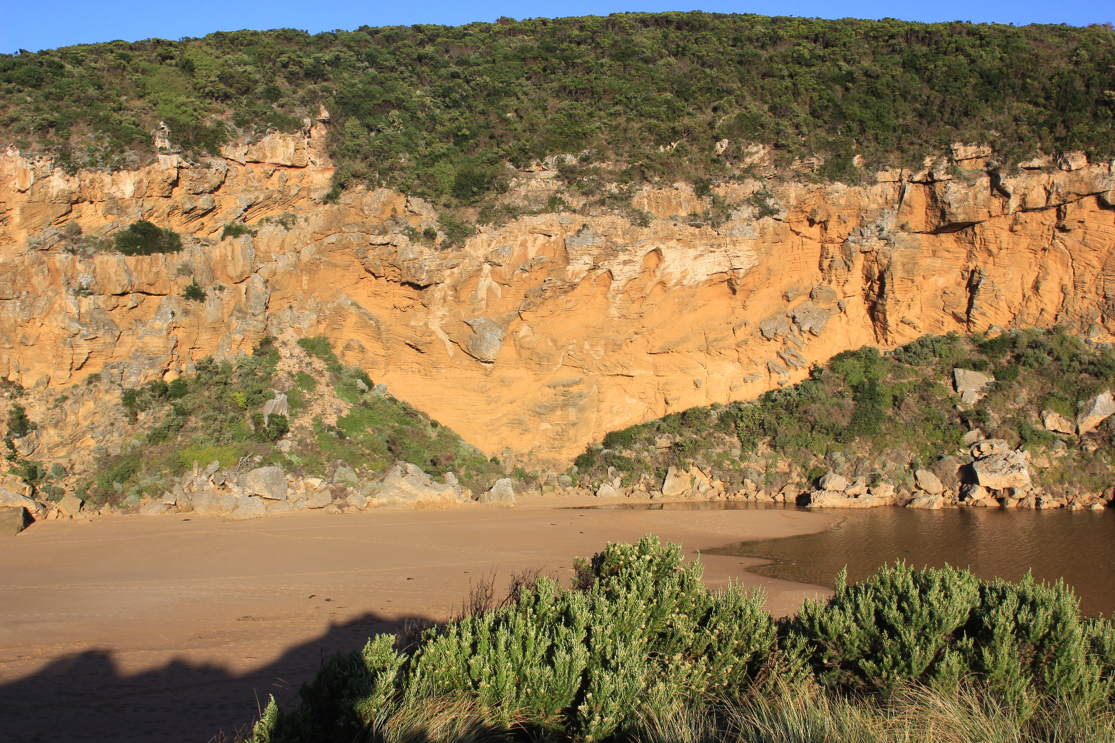
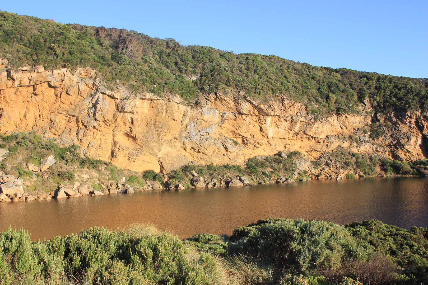
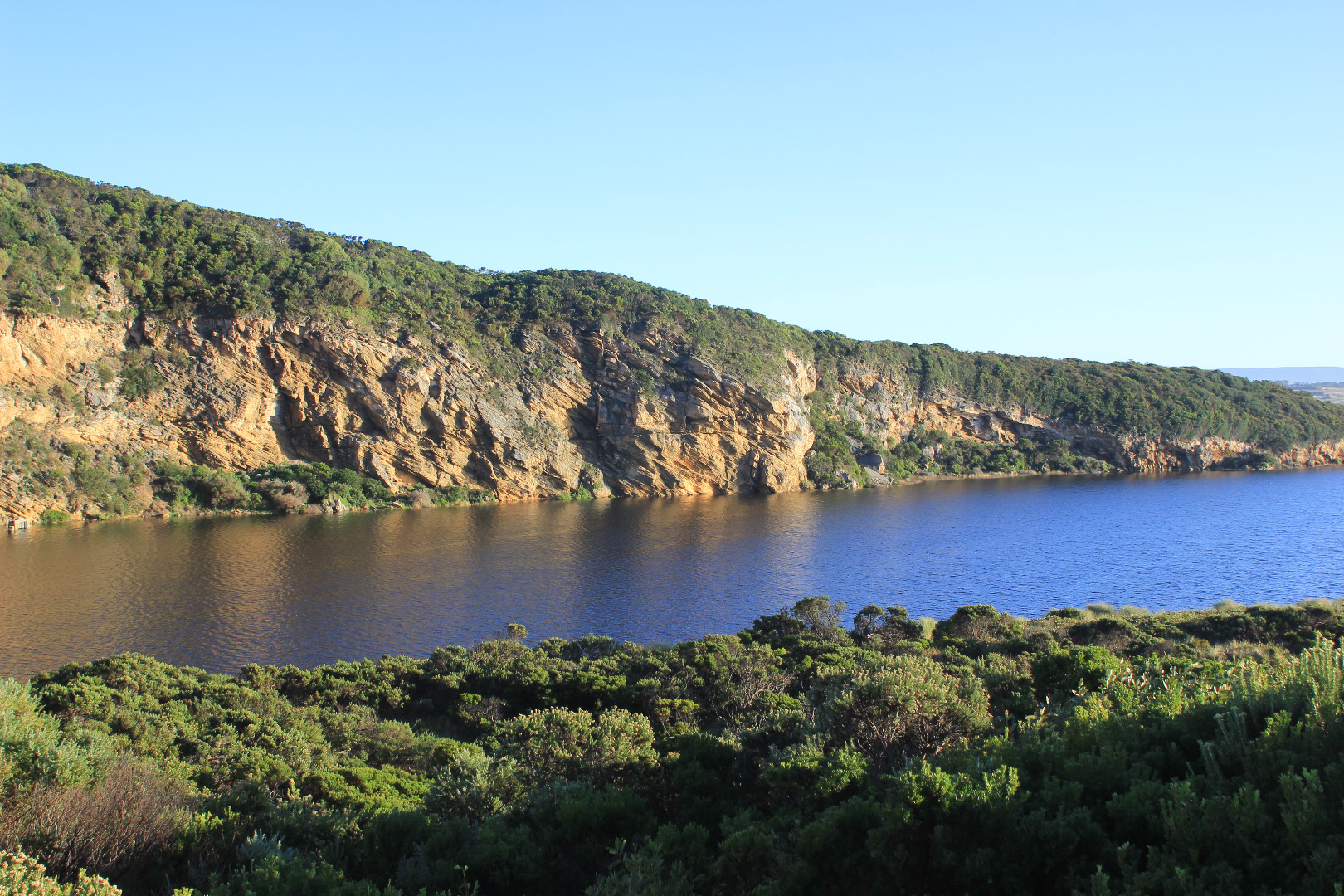
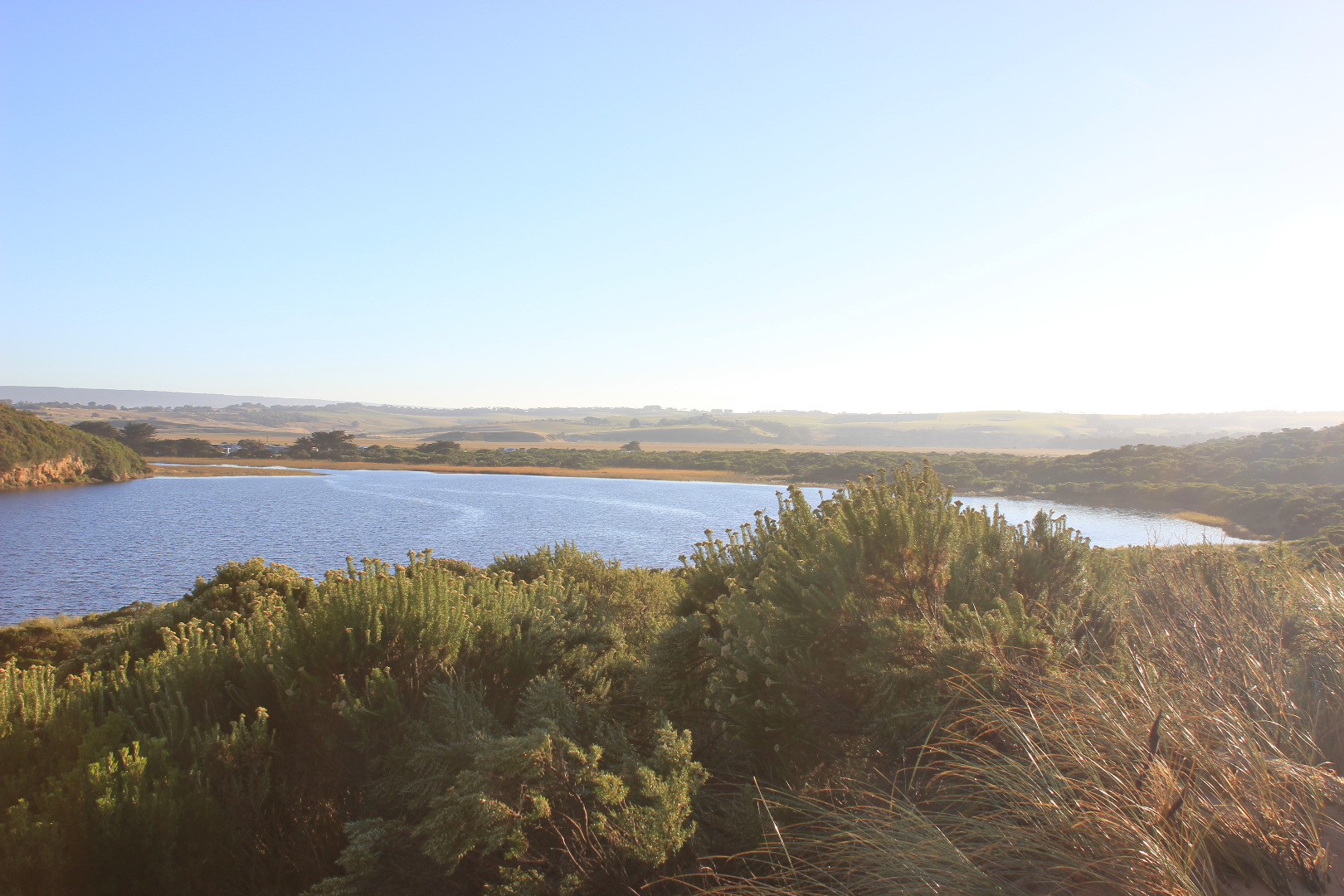
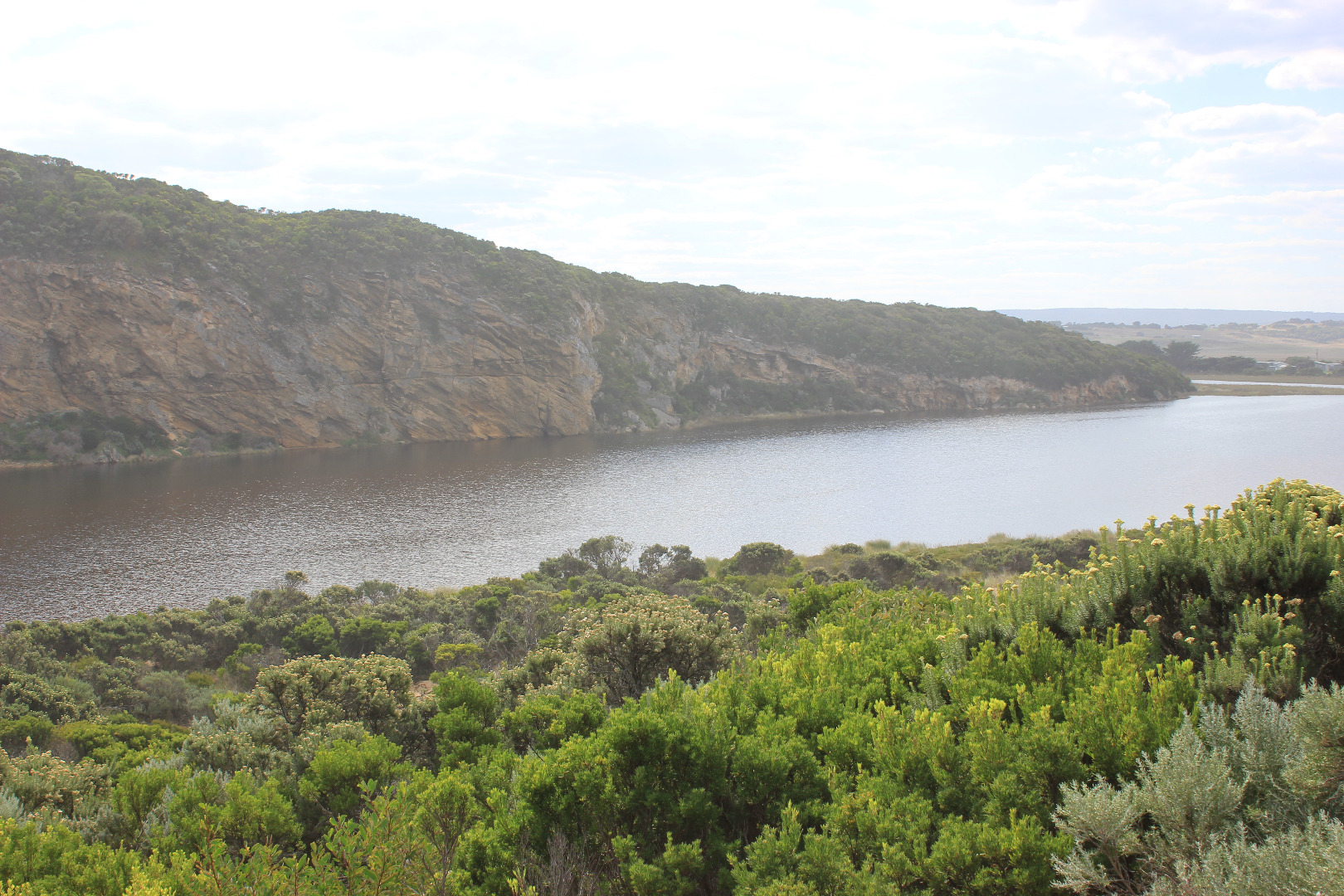
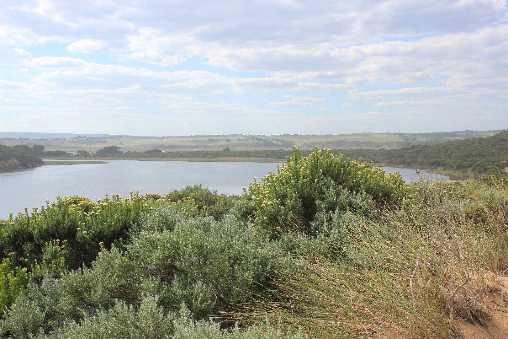
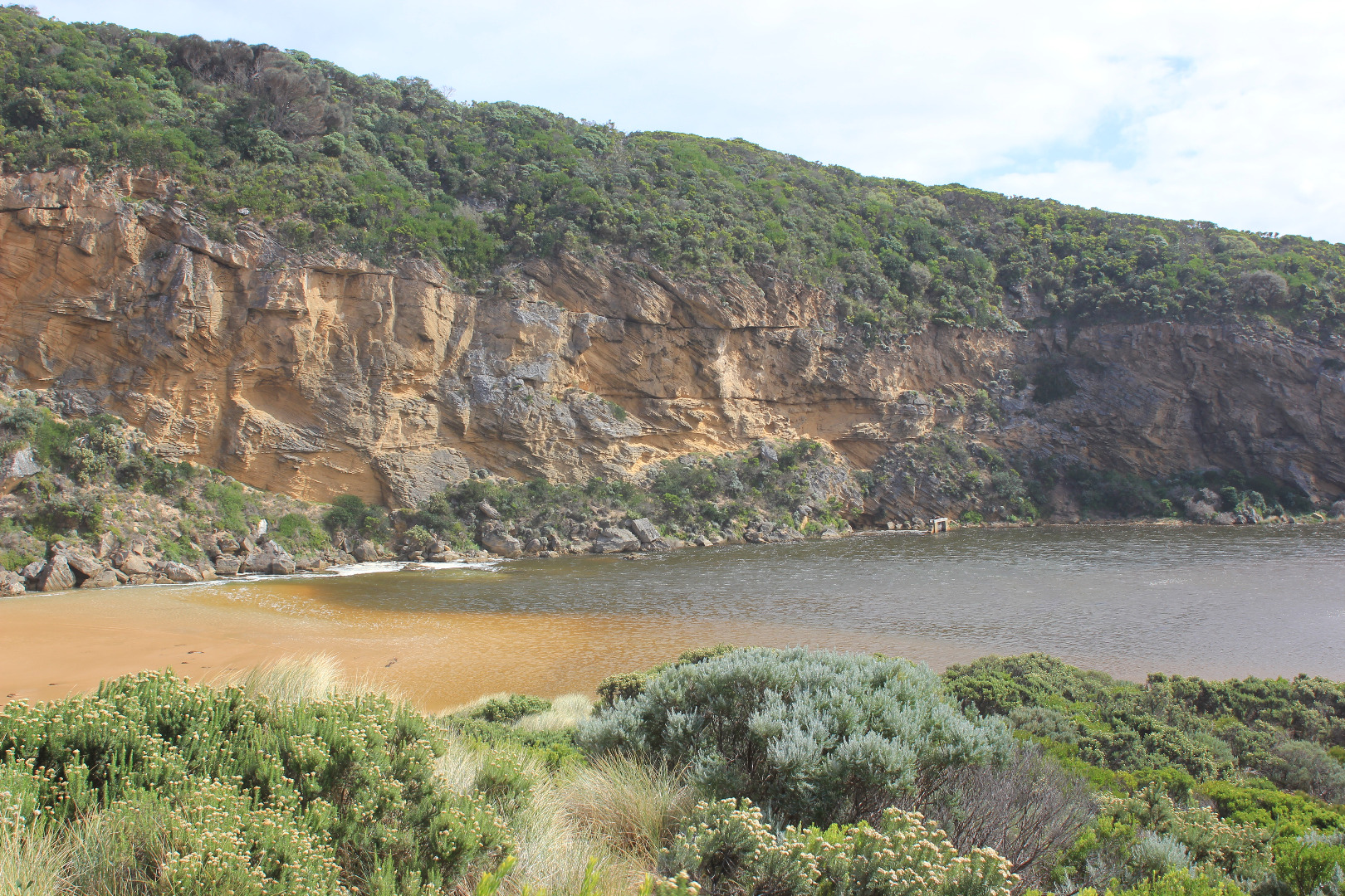
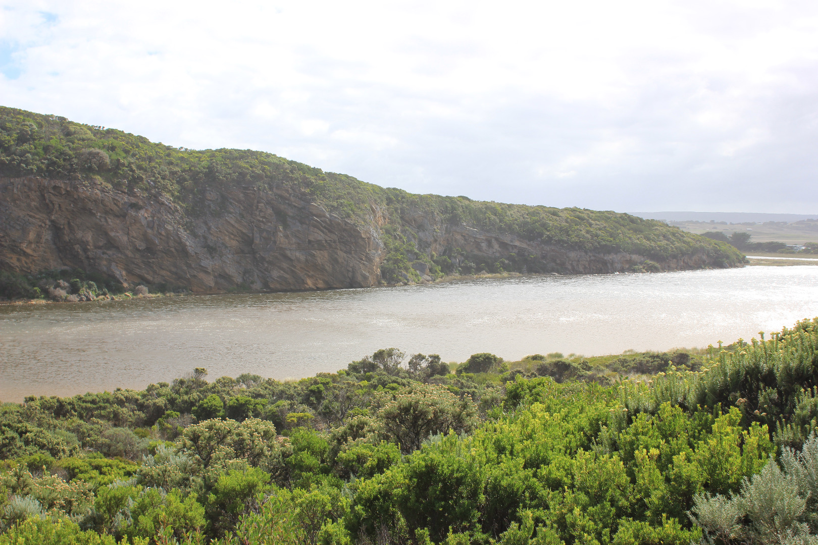
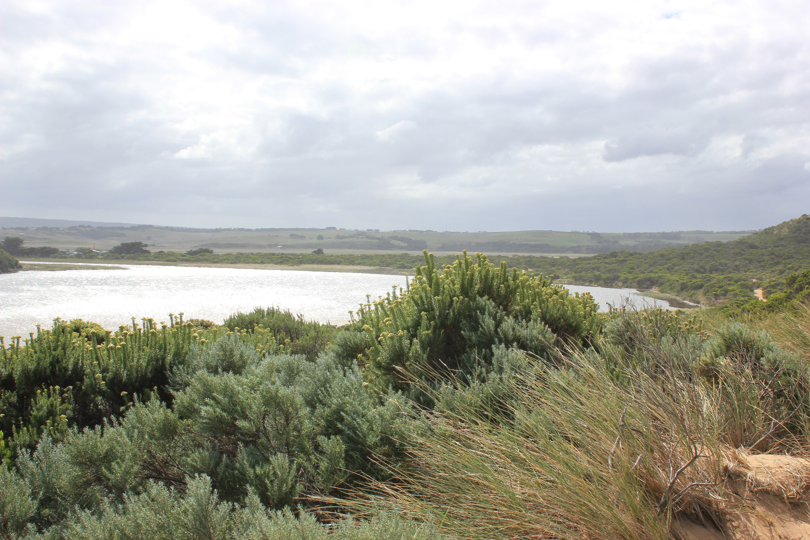
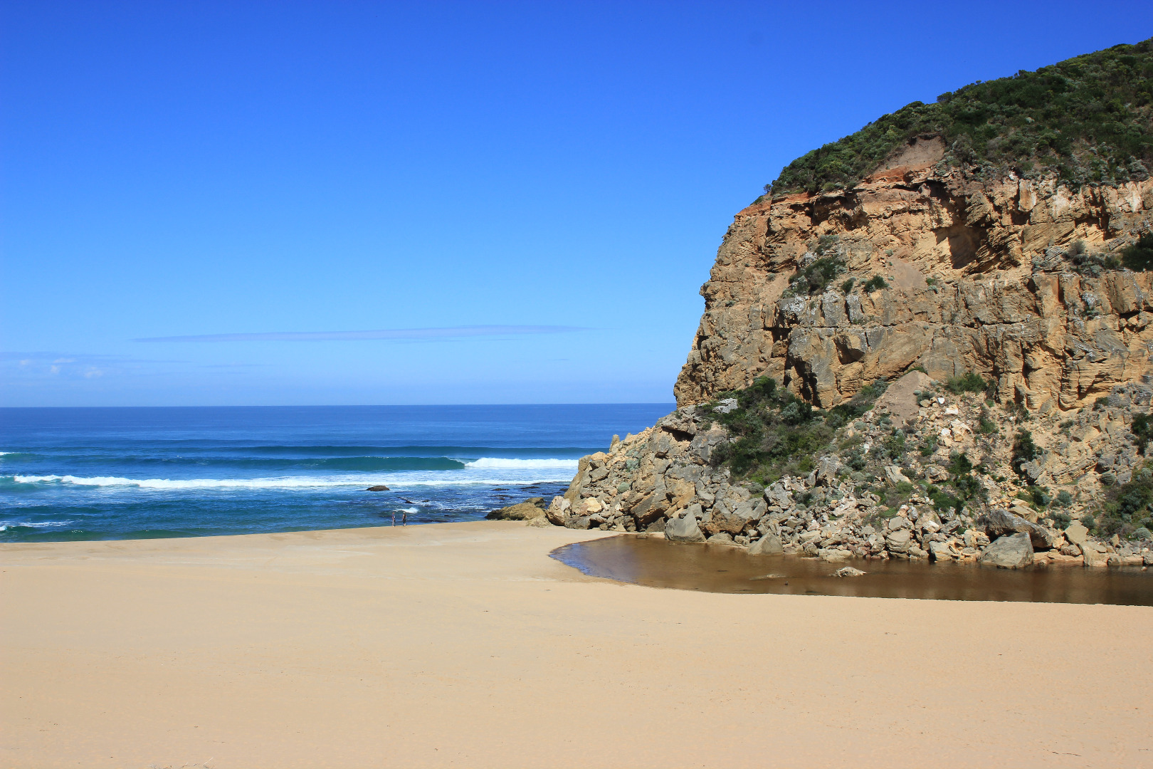
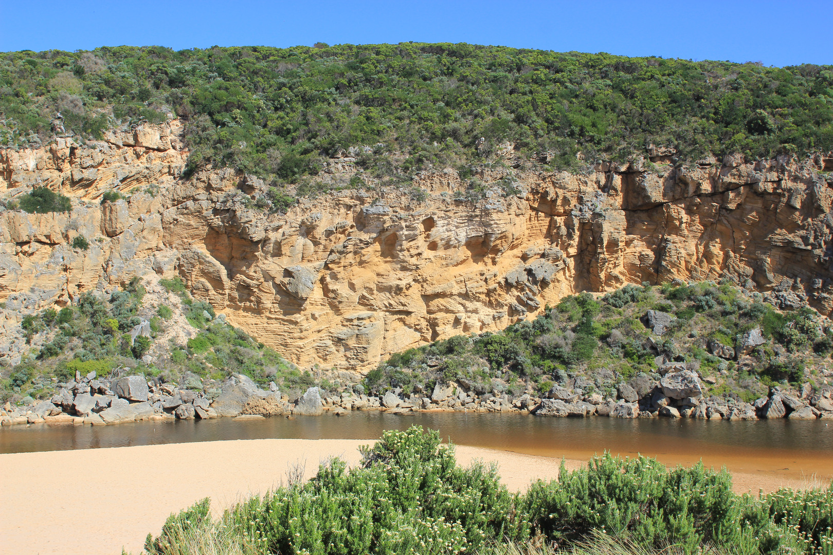
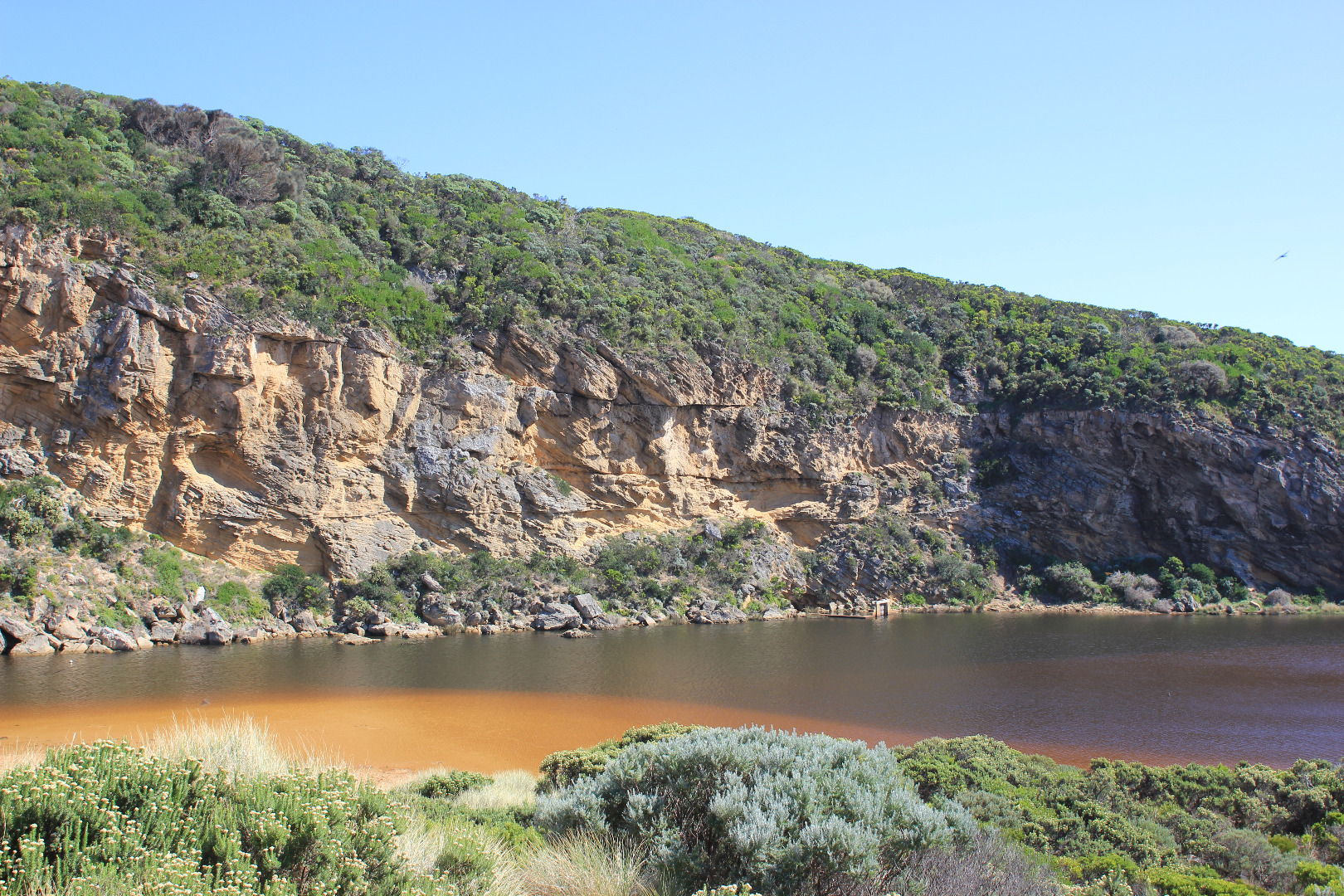
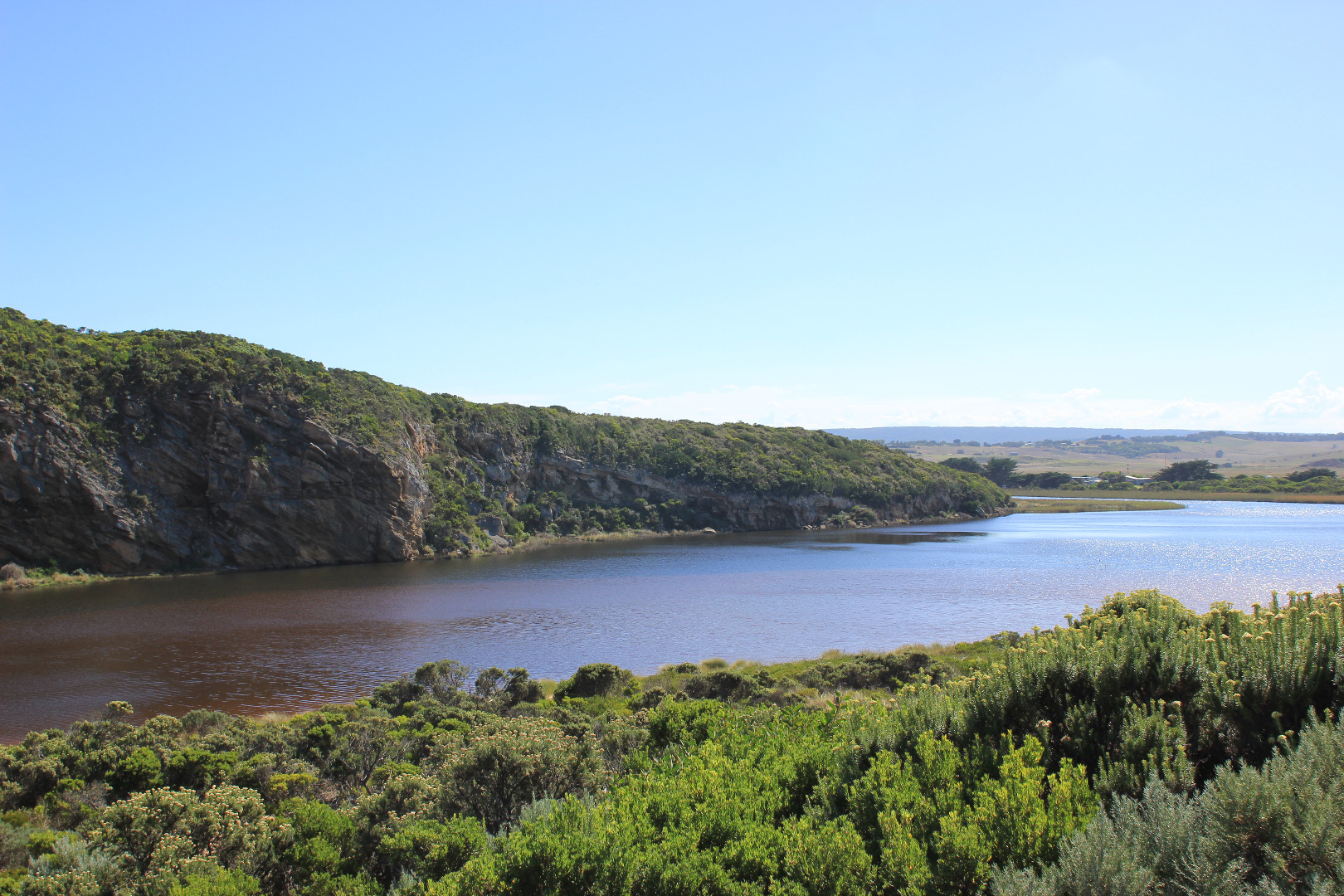
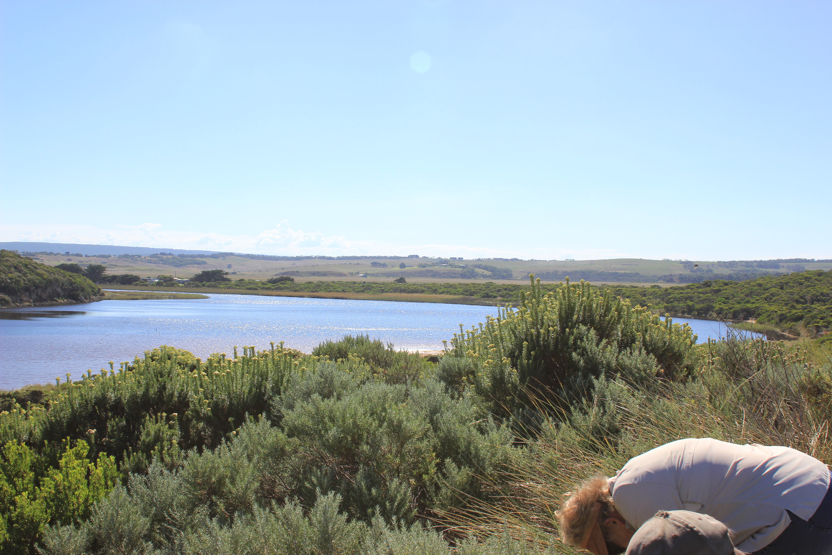
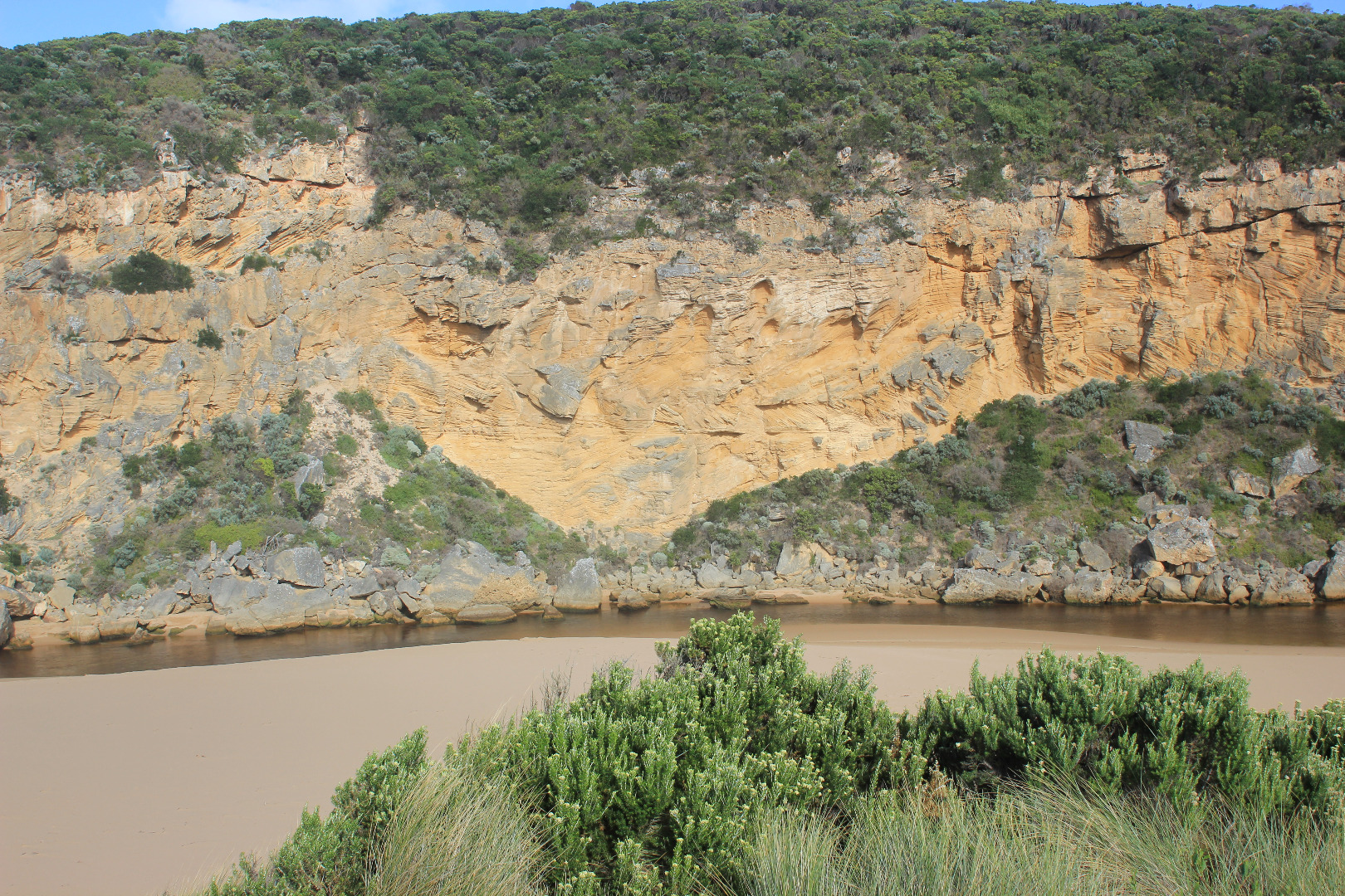
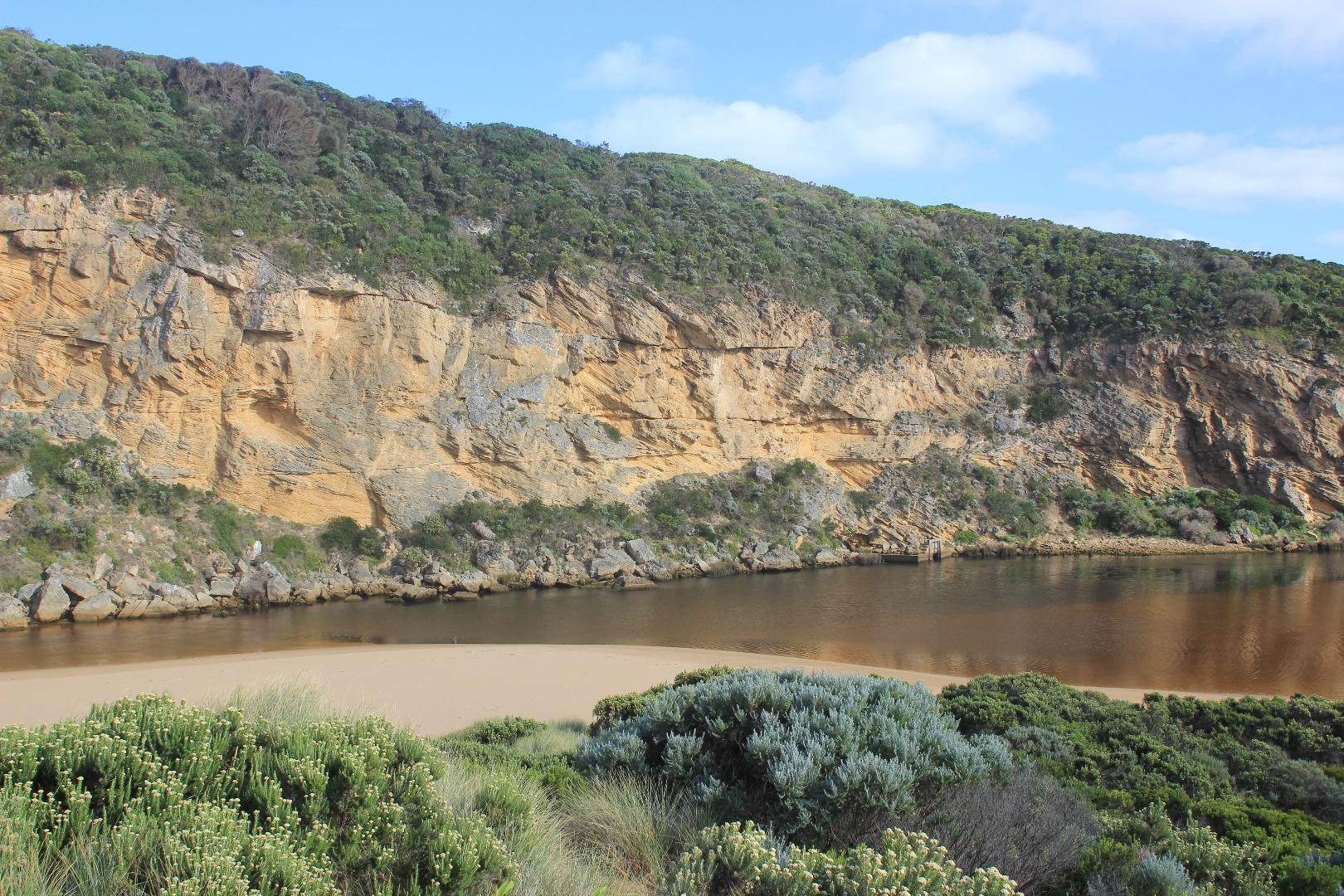
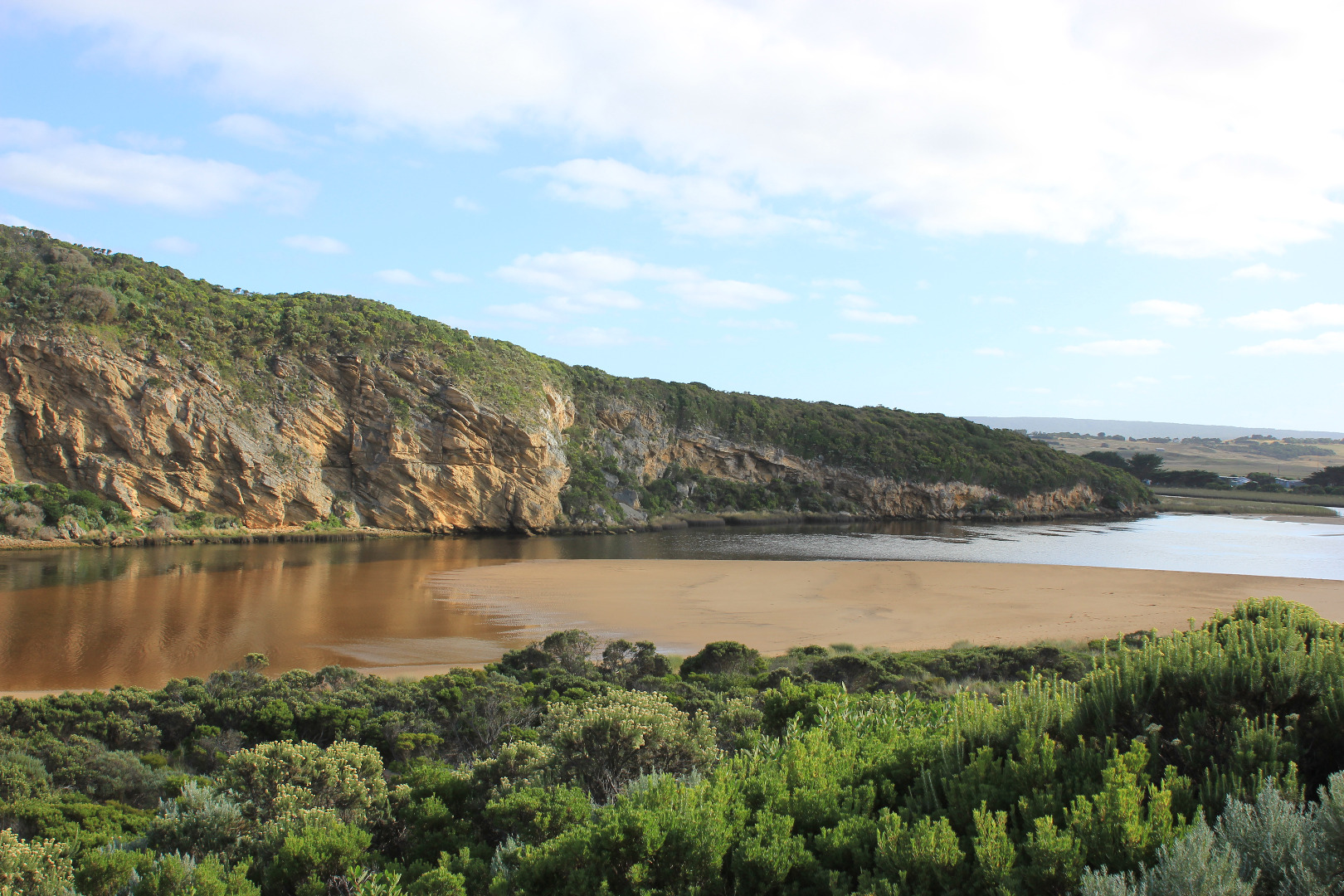
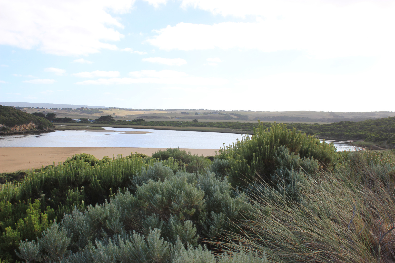
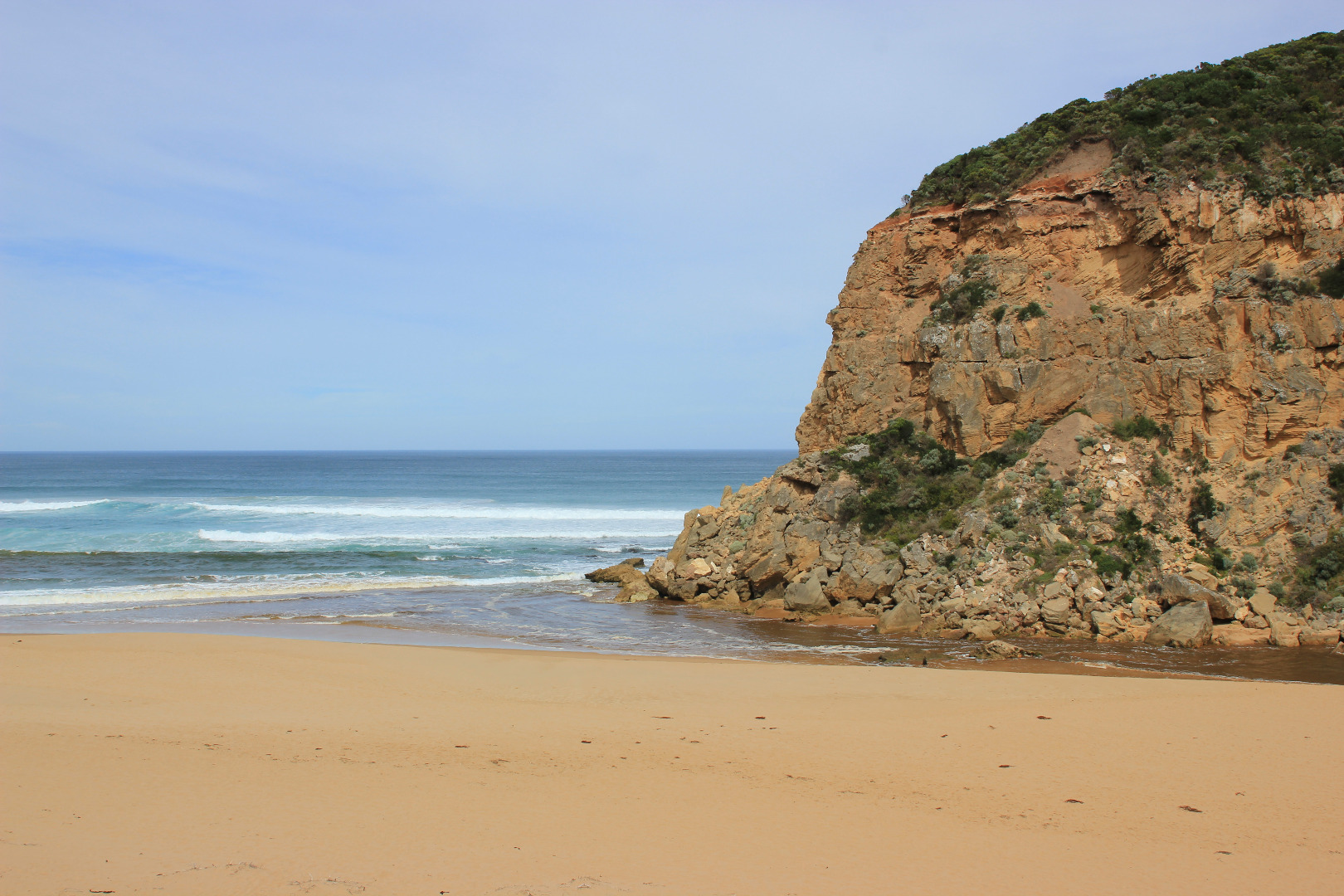
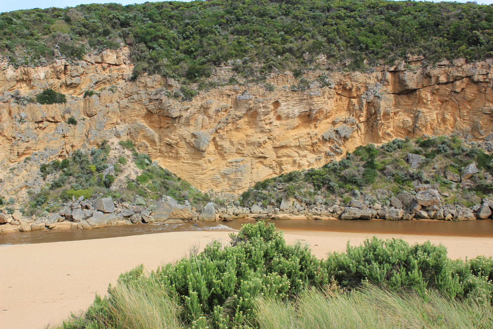
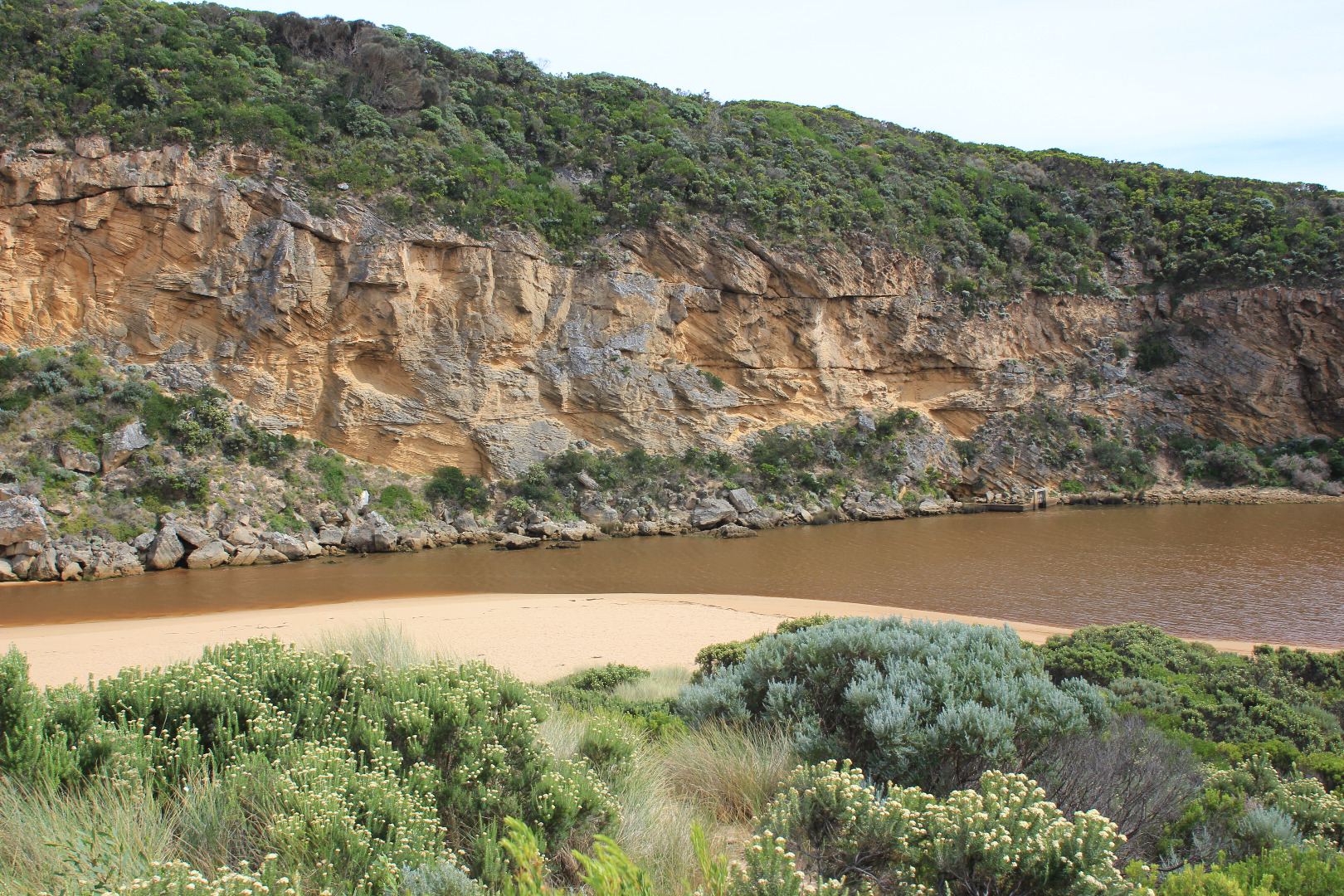
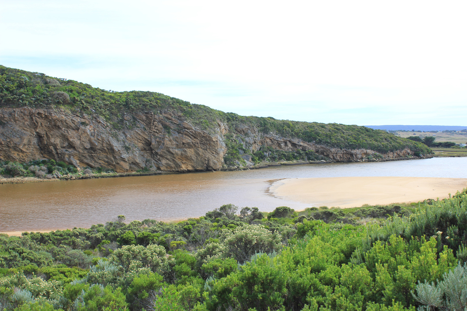
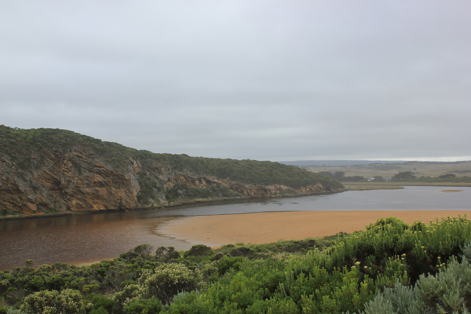
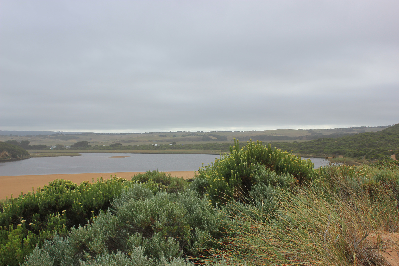
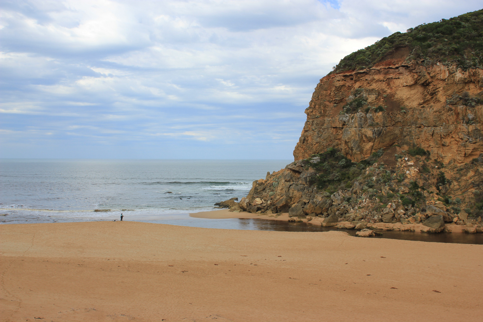
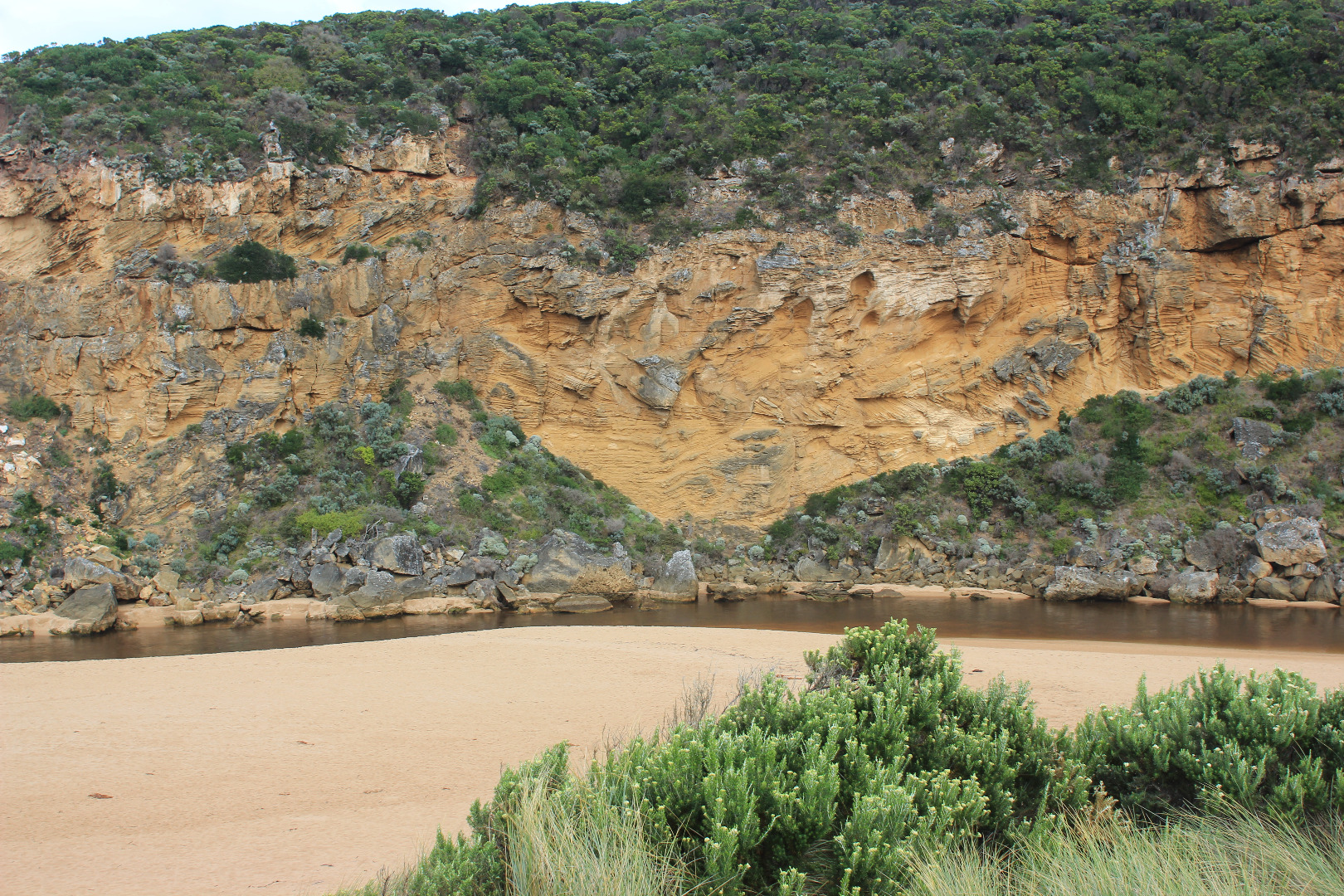
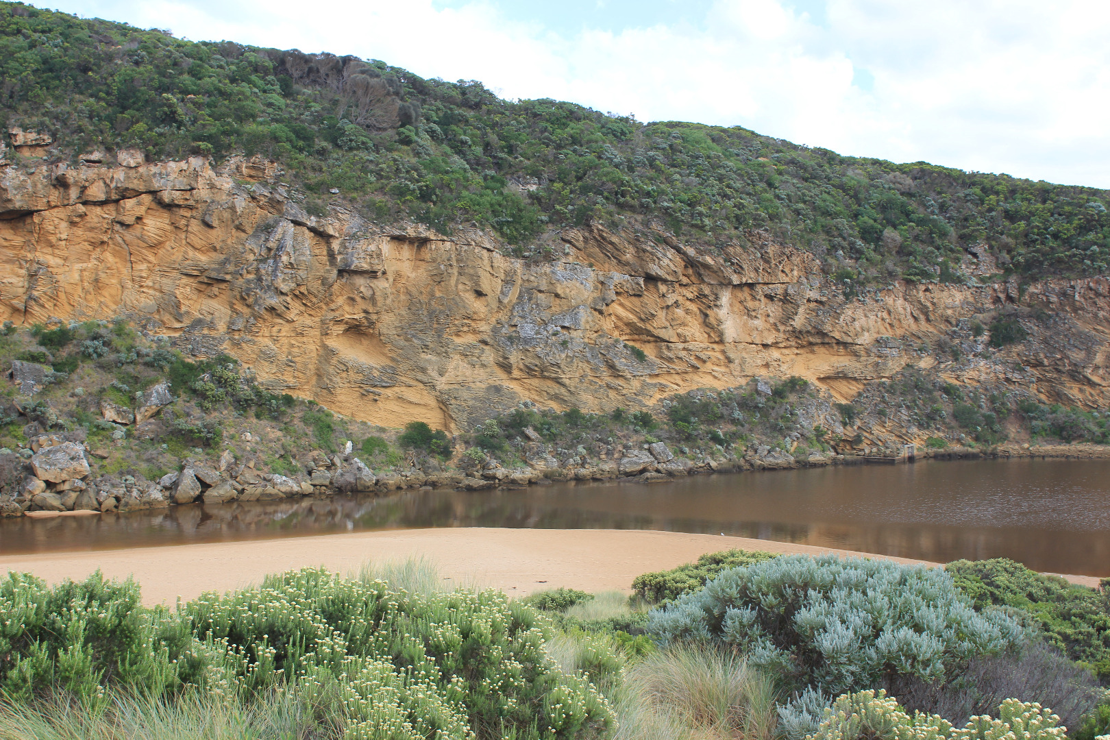
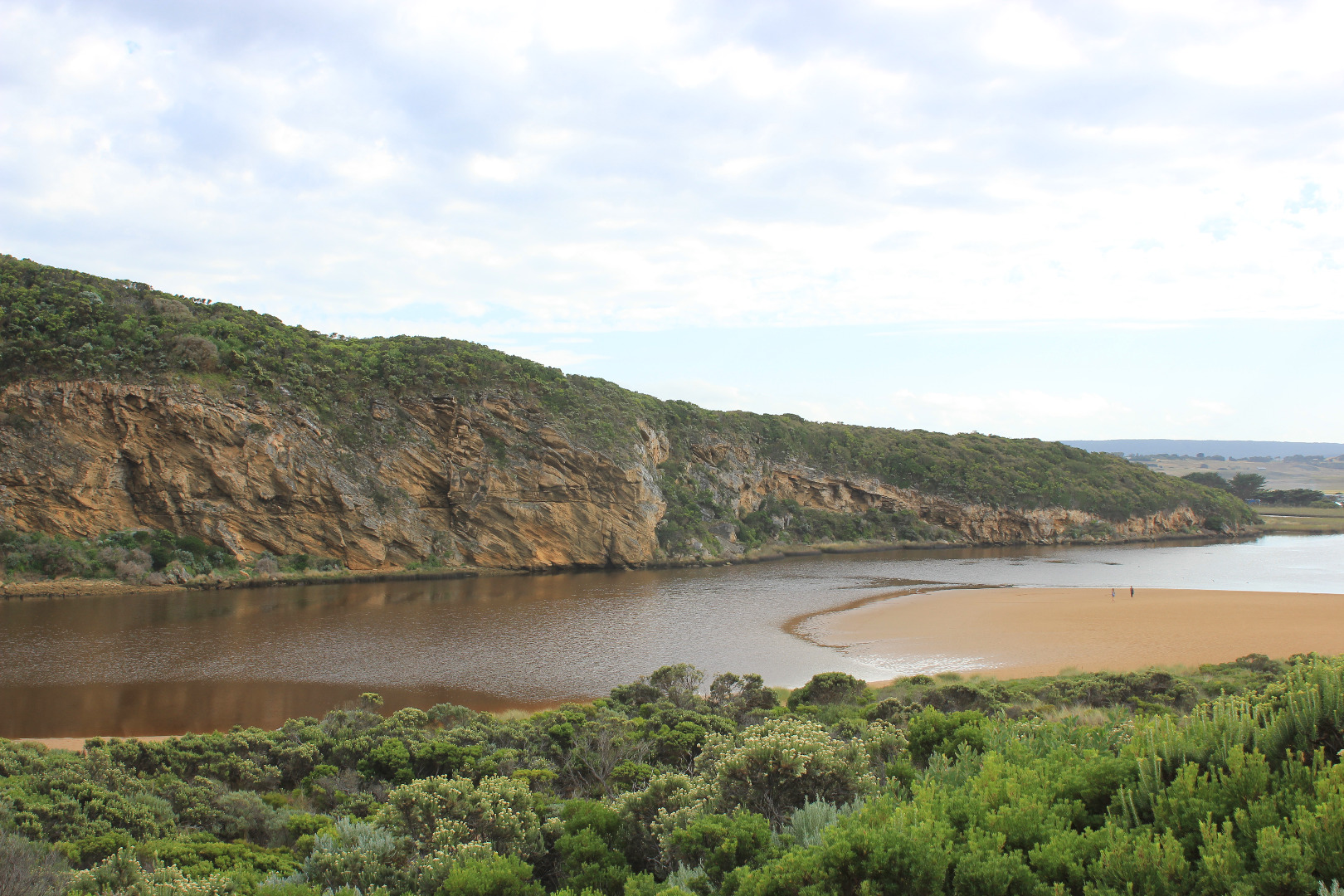
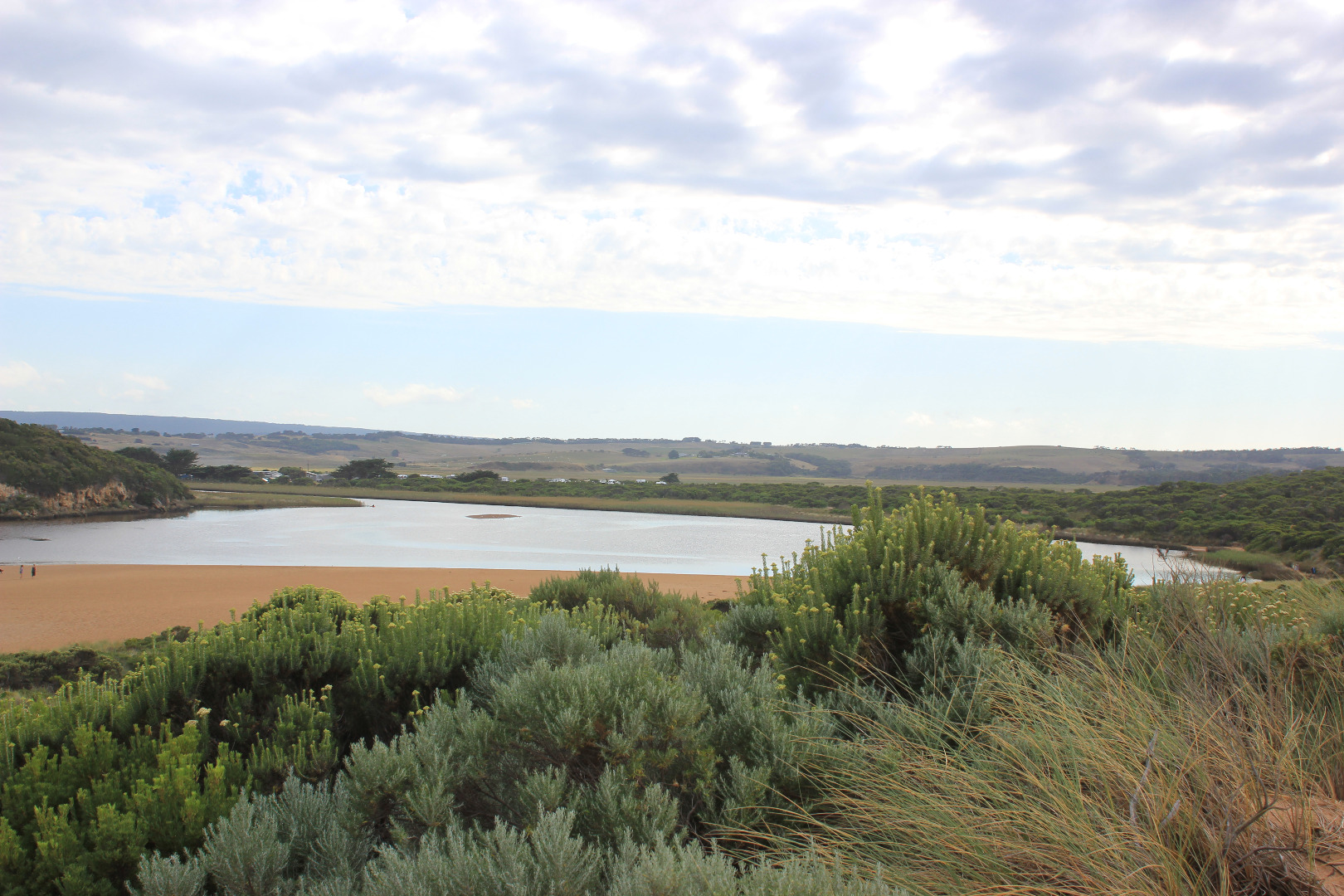
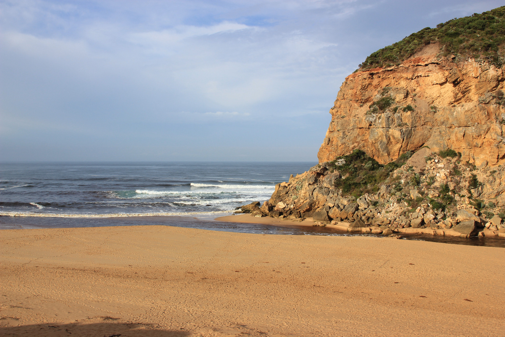
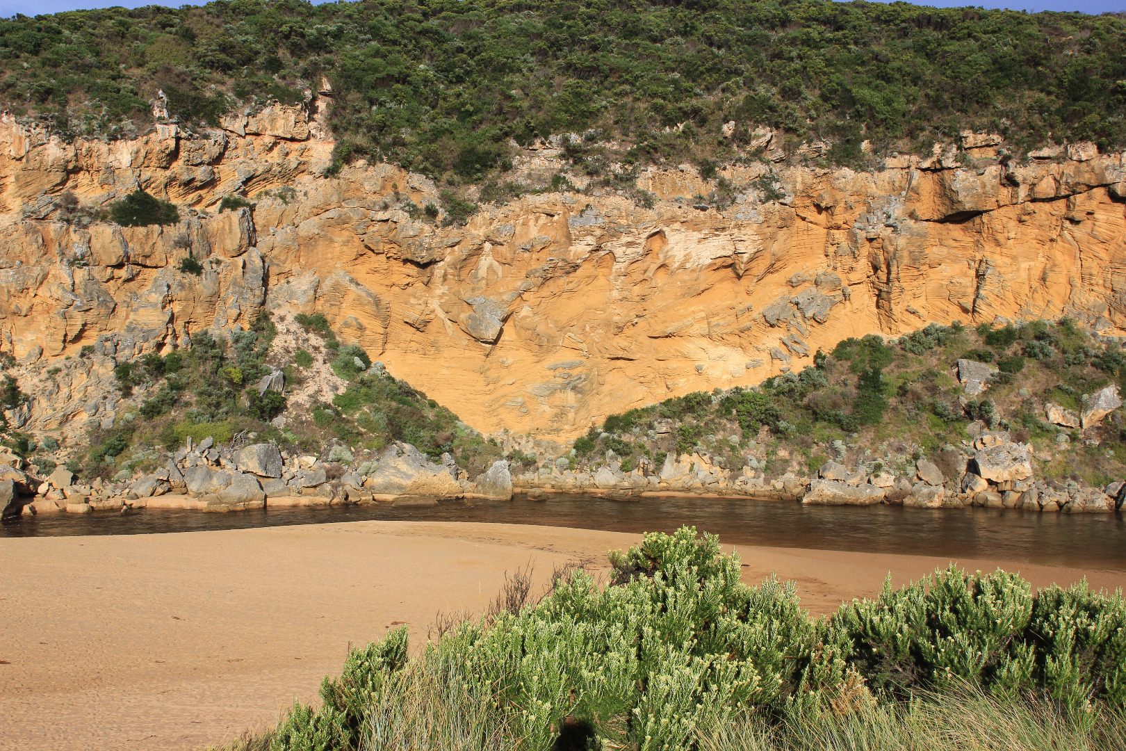
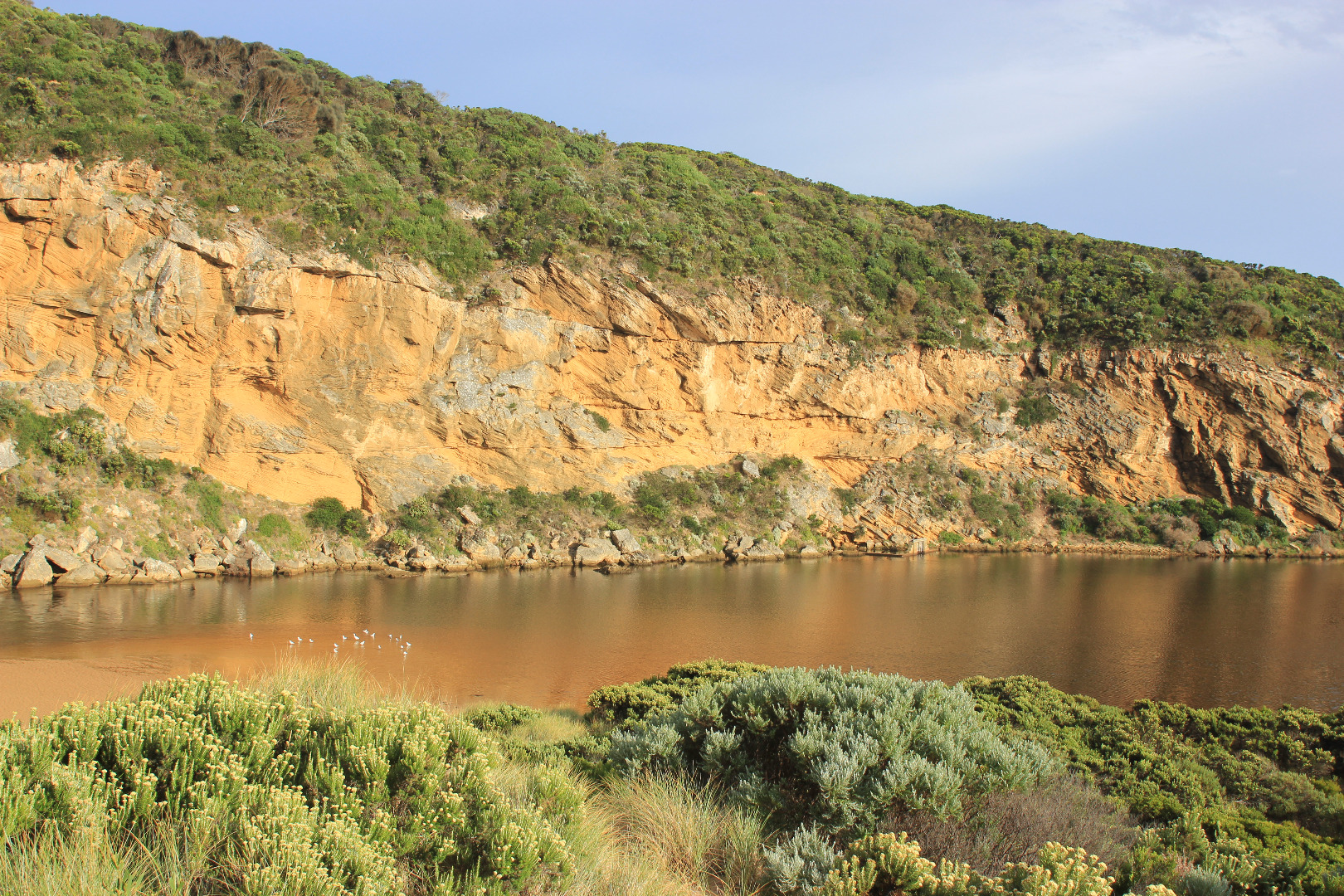
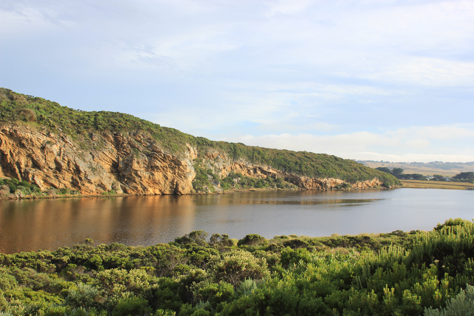
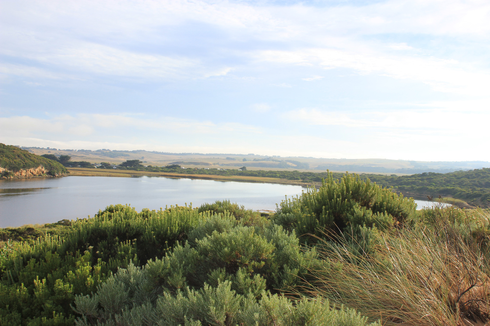
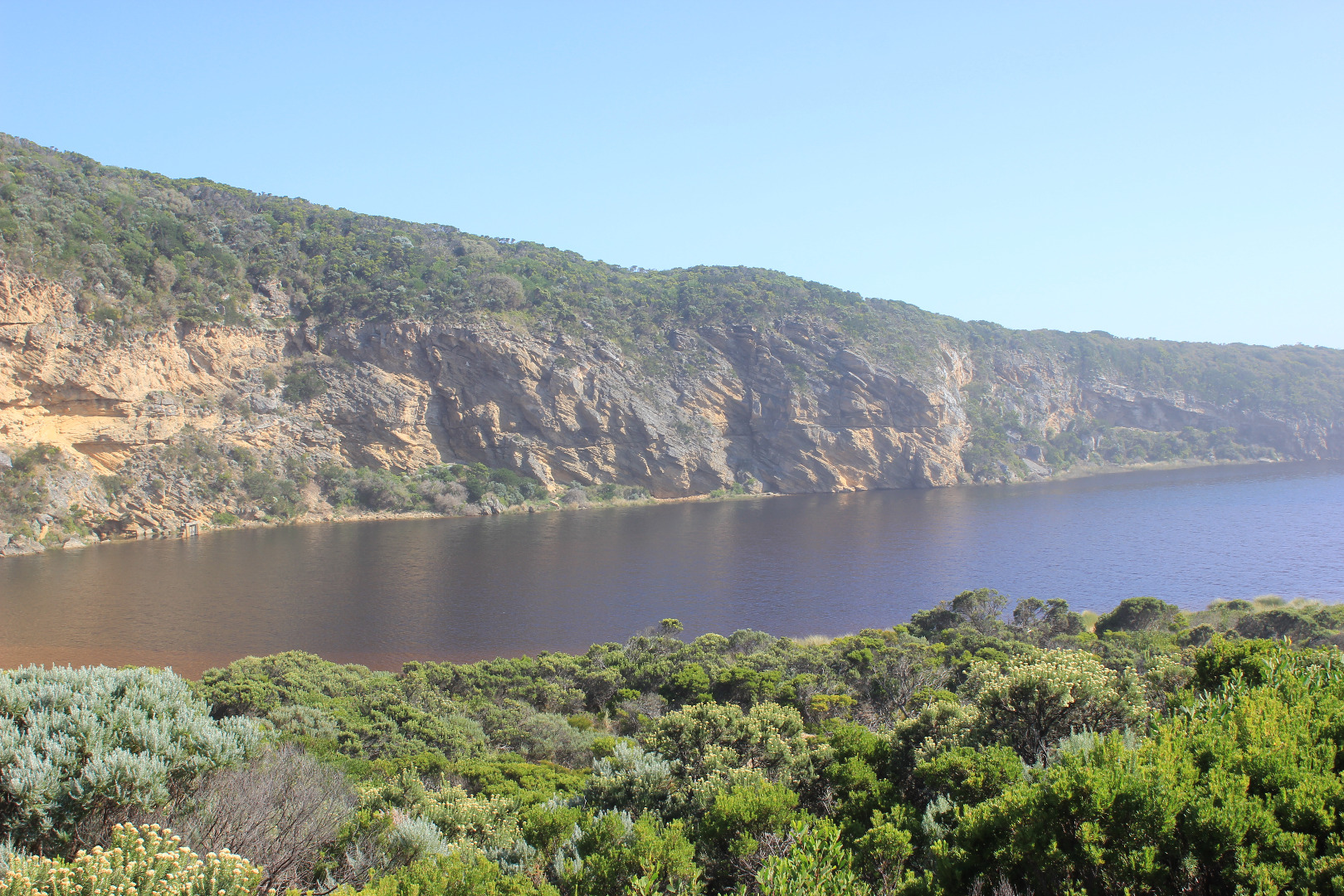
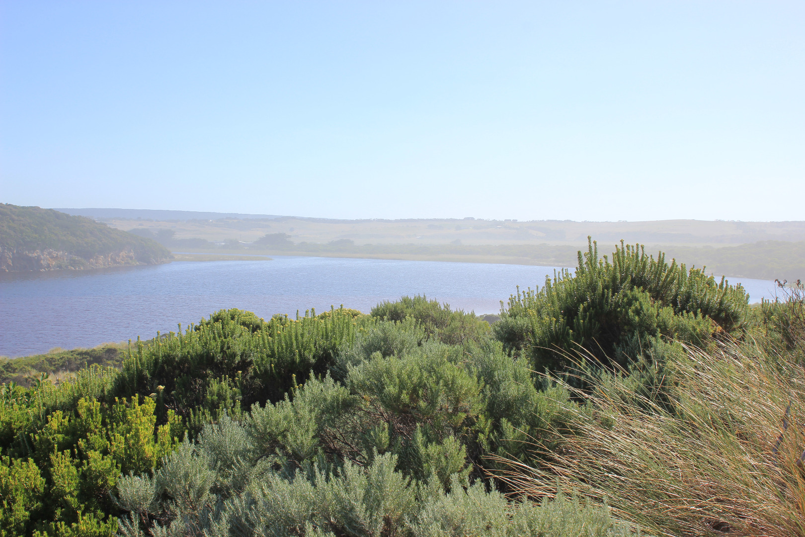
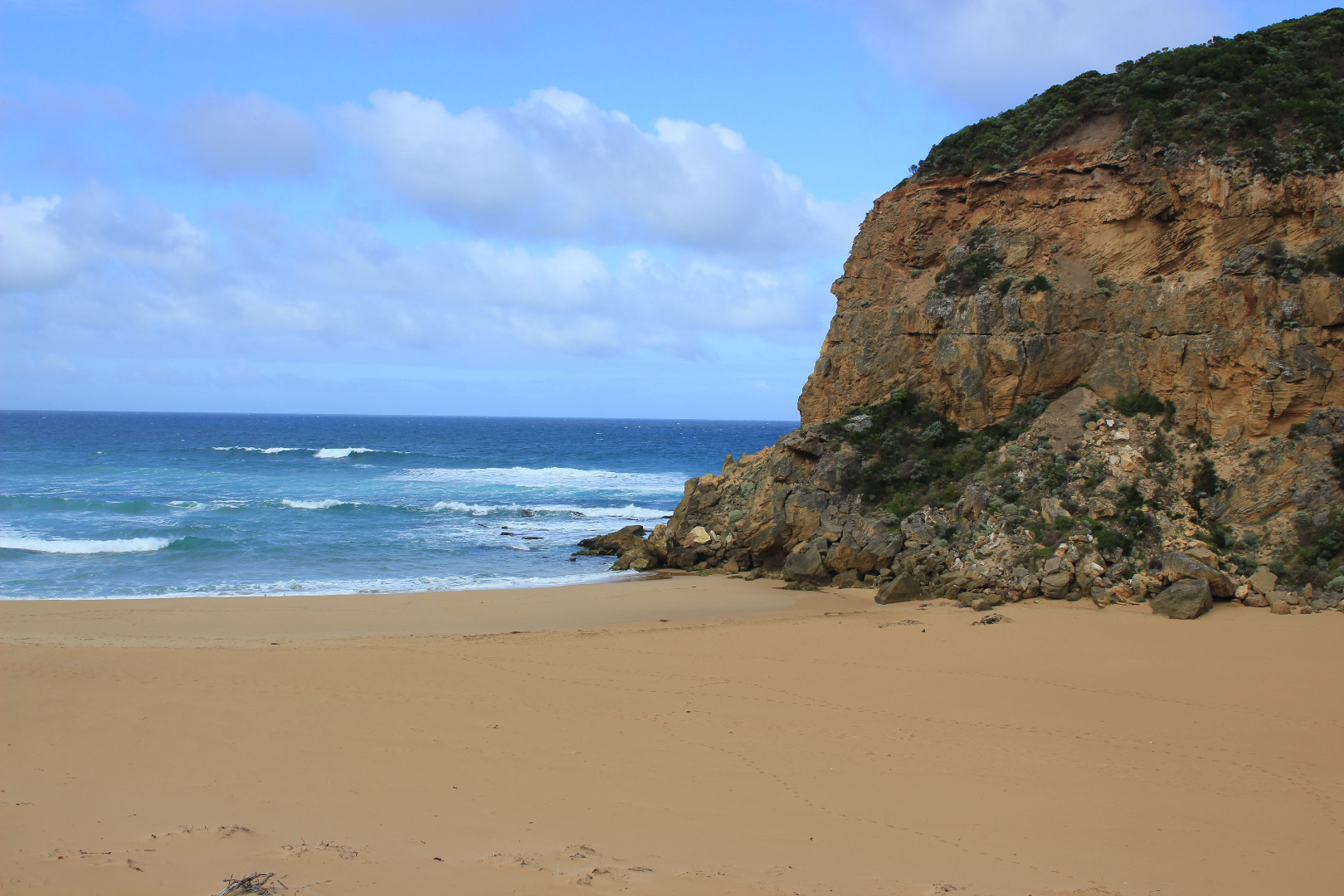
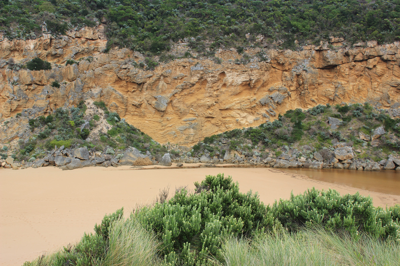
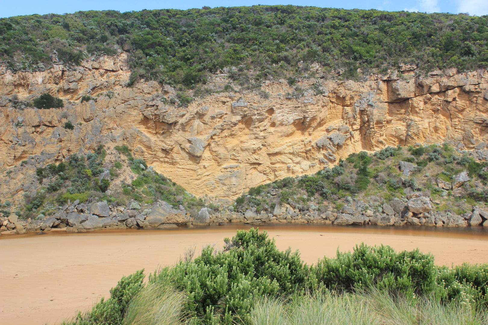
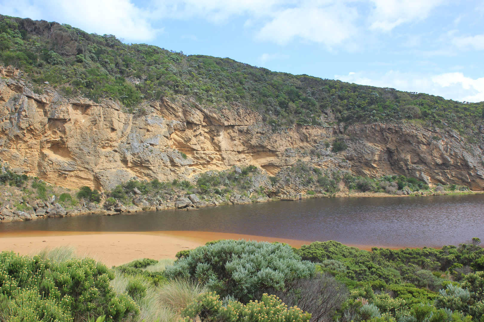
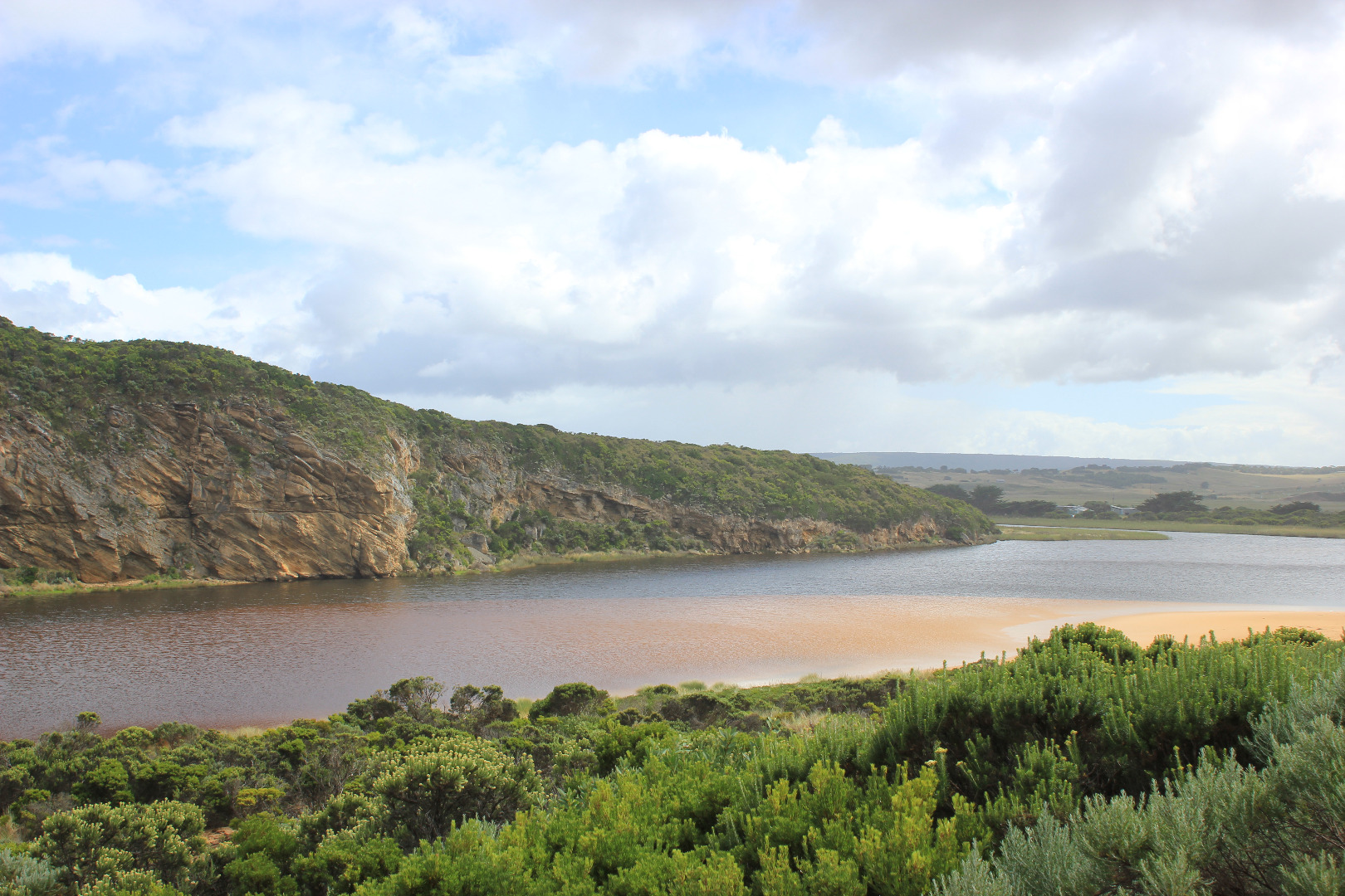
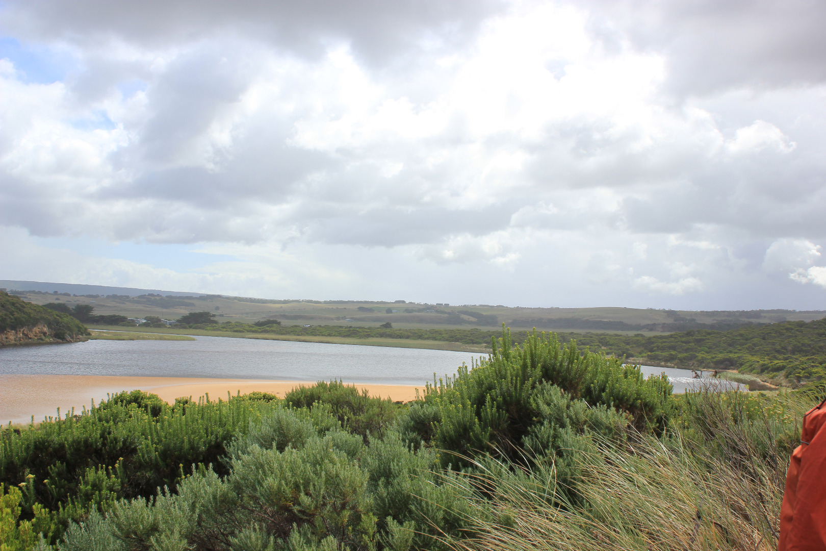
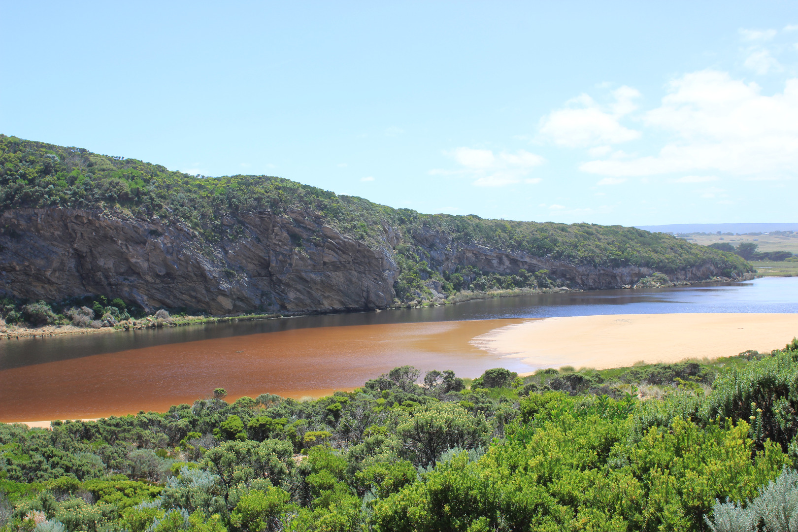
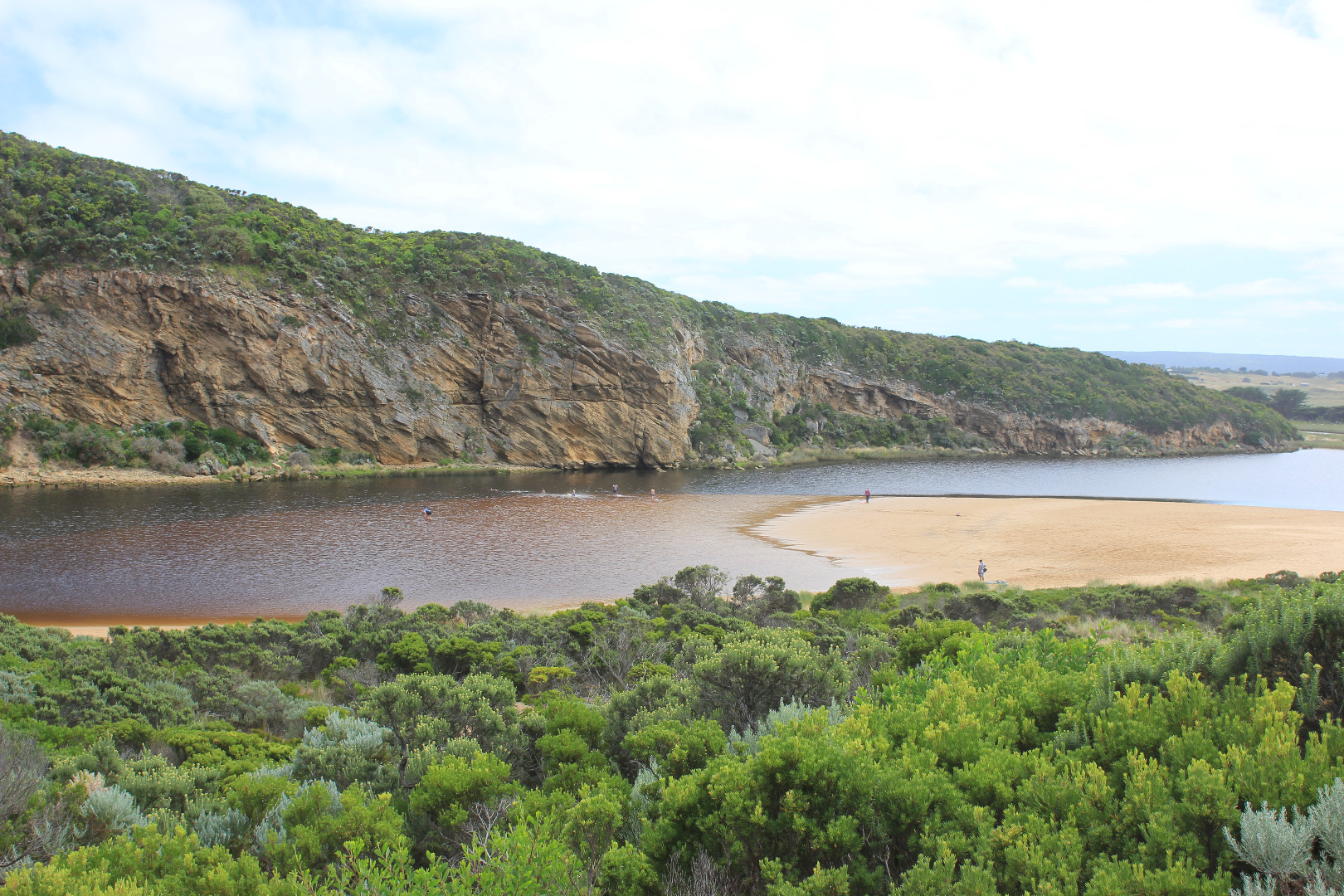
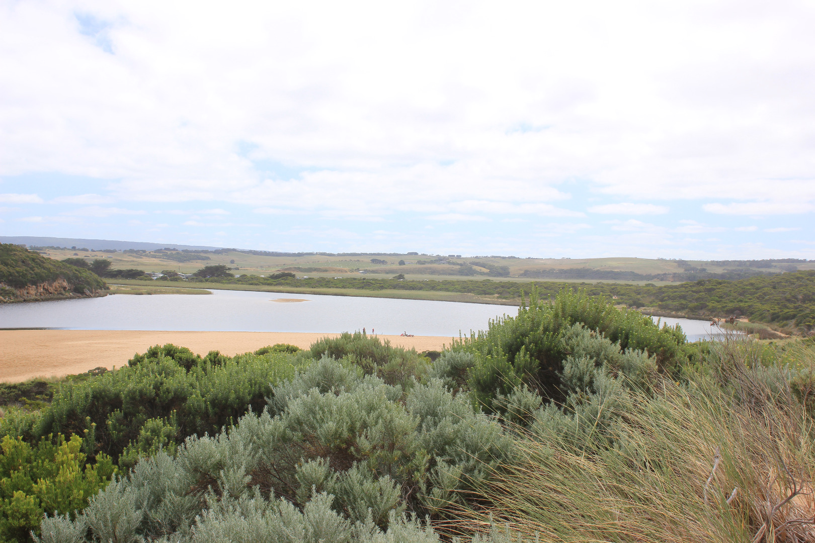
GMC Gellibrand River Estuary Mouth Observation Site
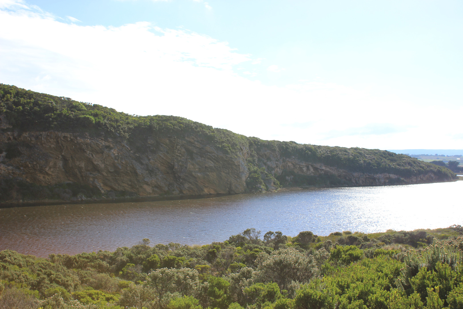
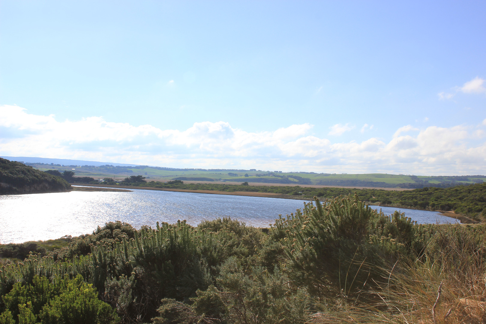
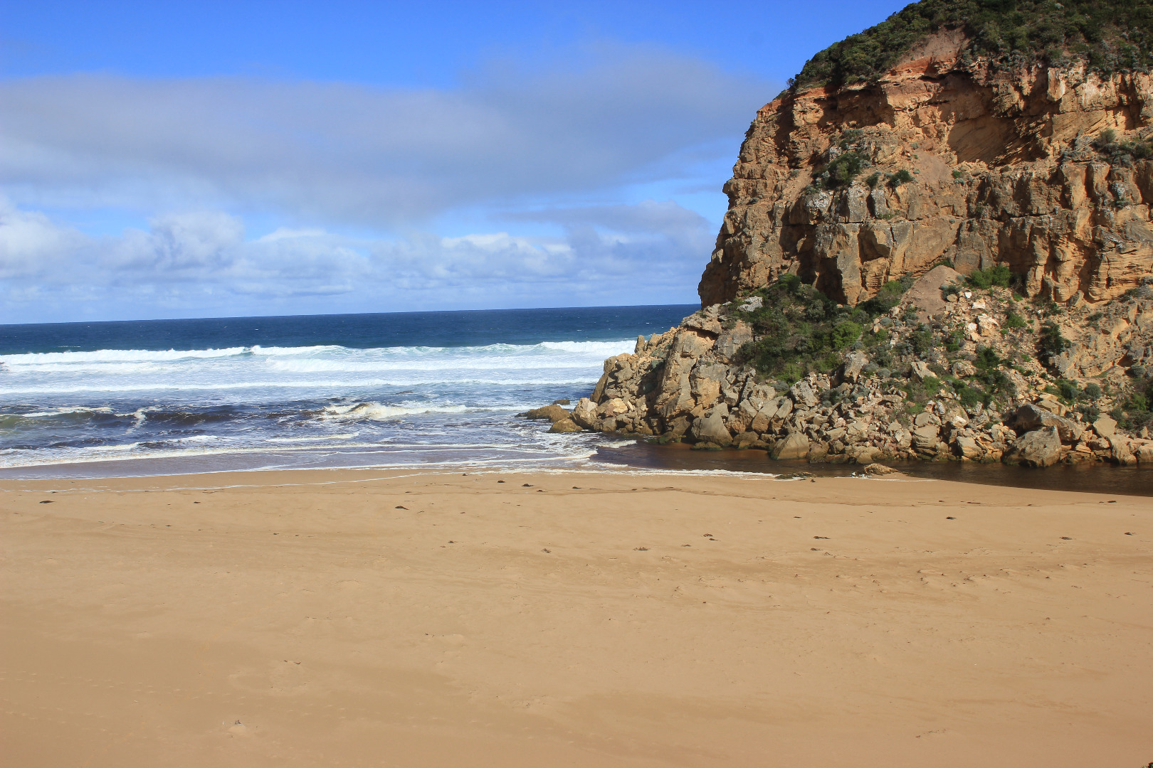
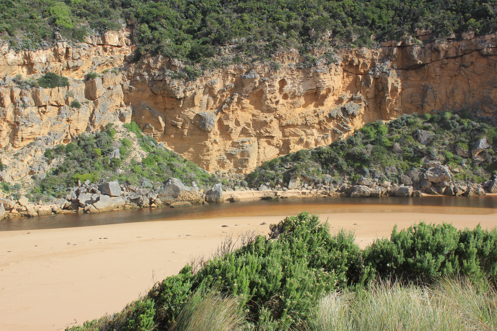
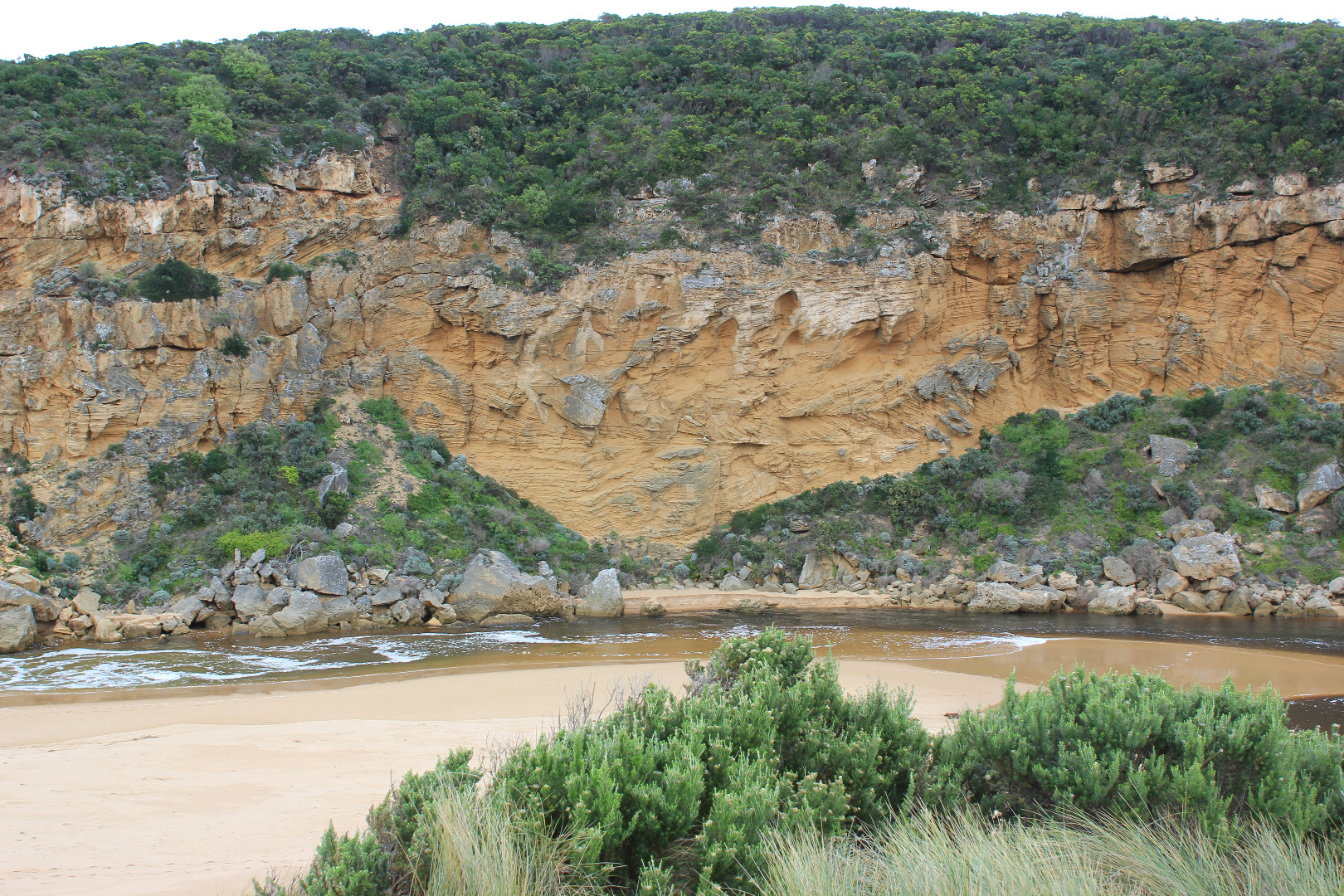
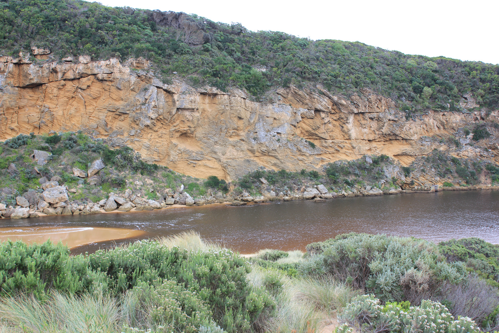
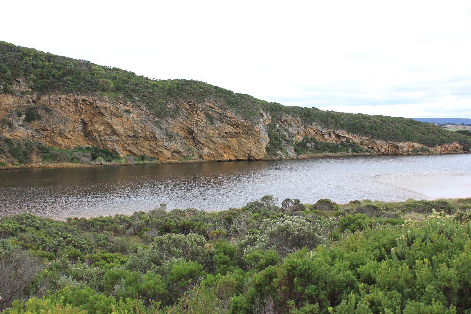
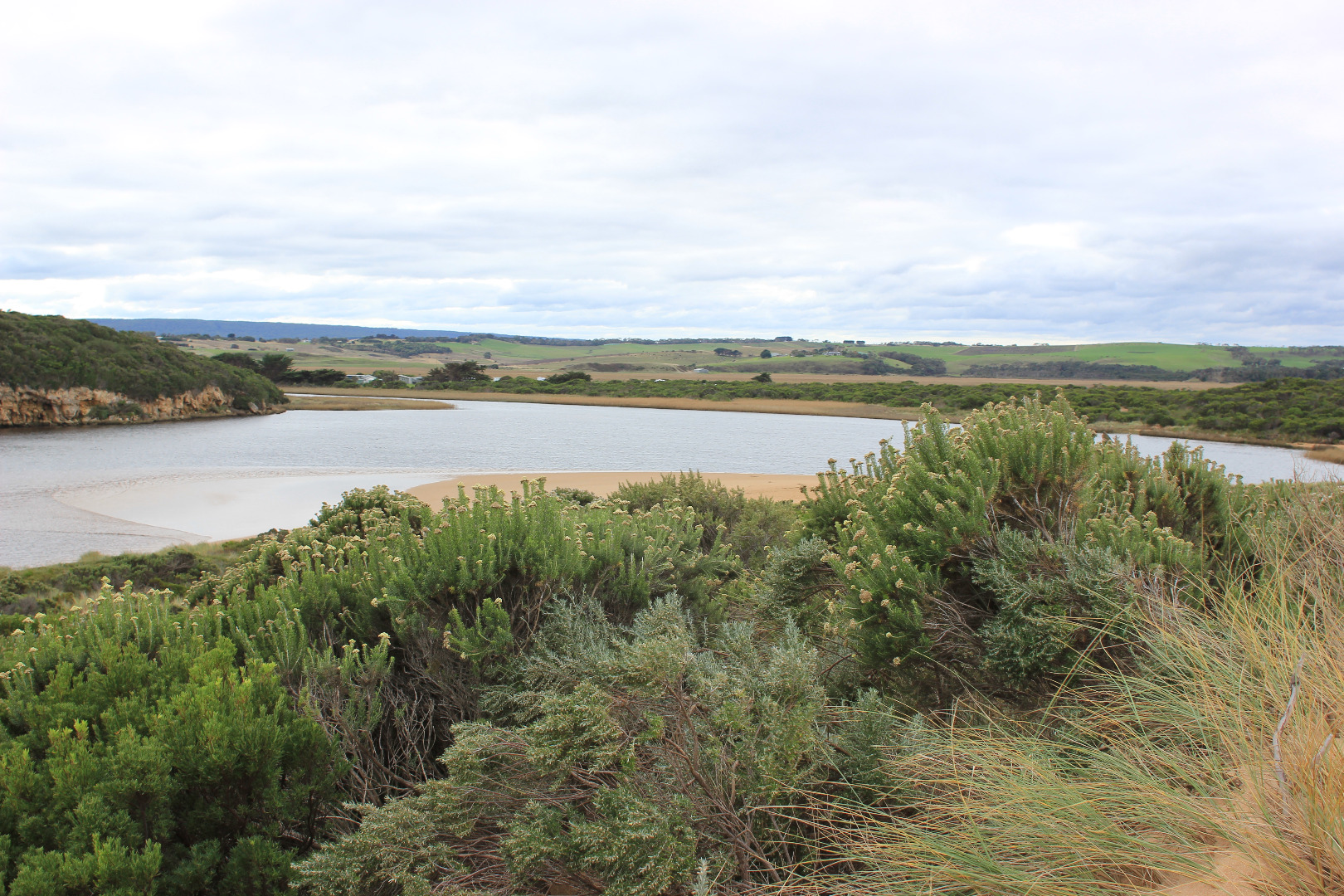
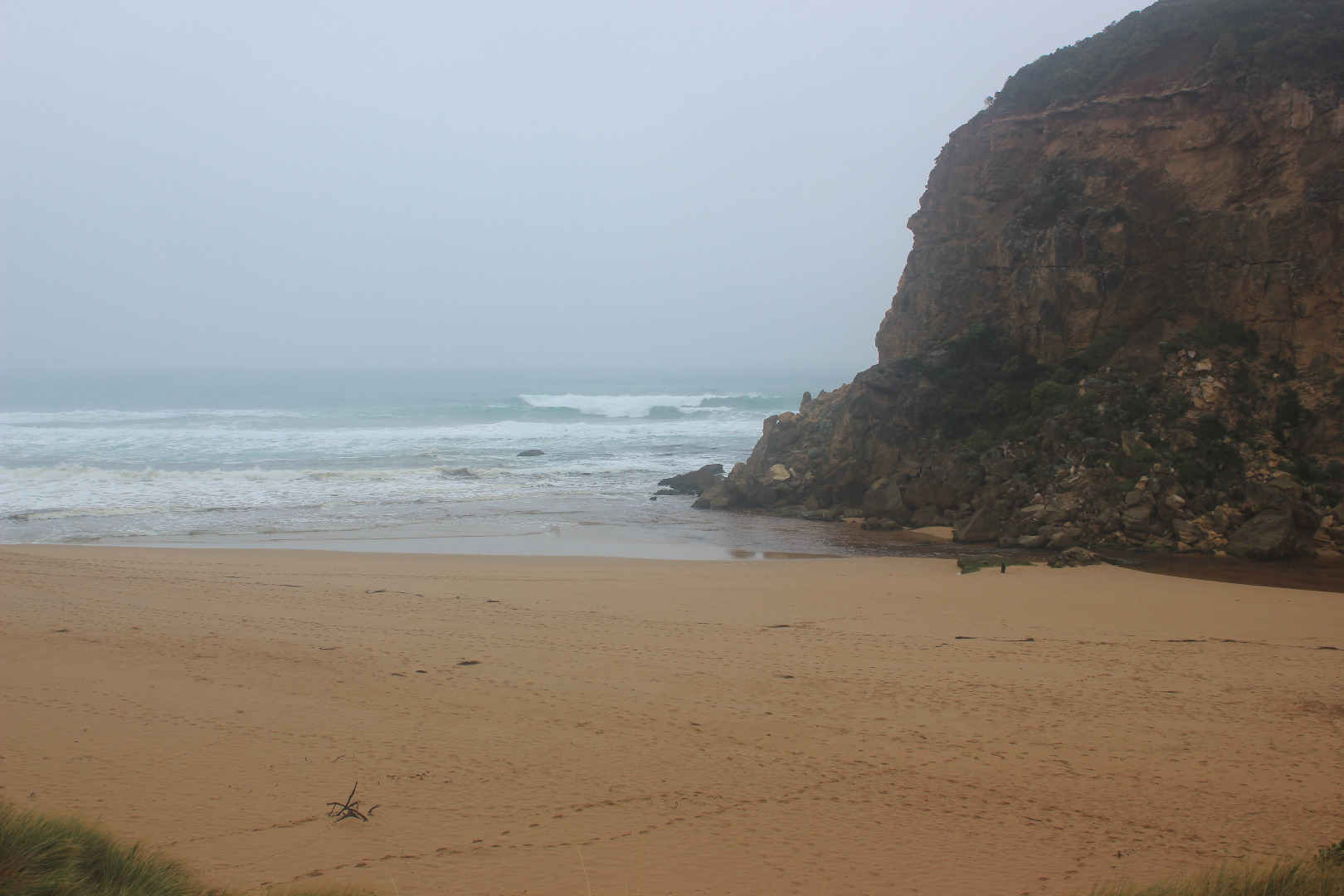
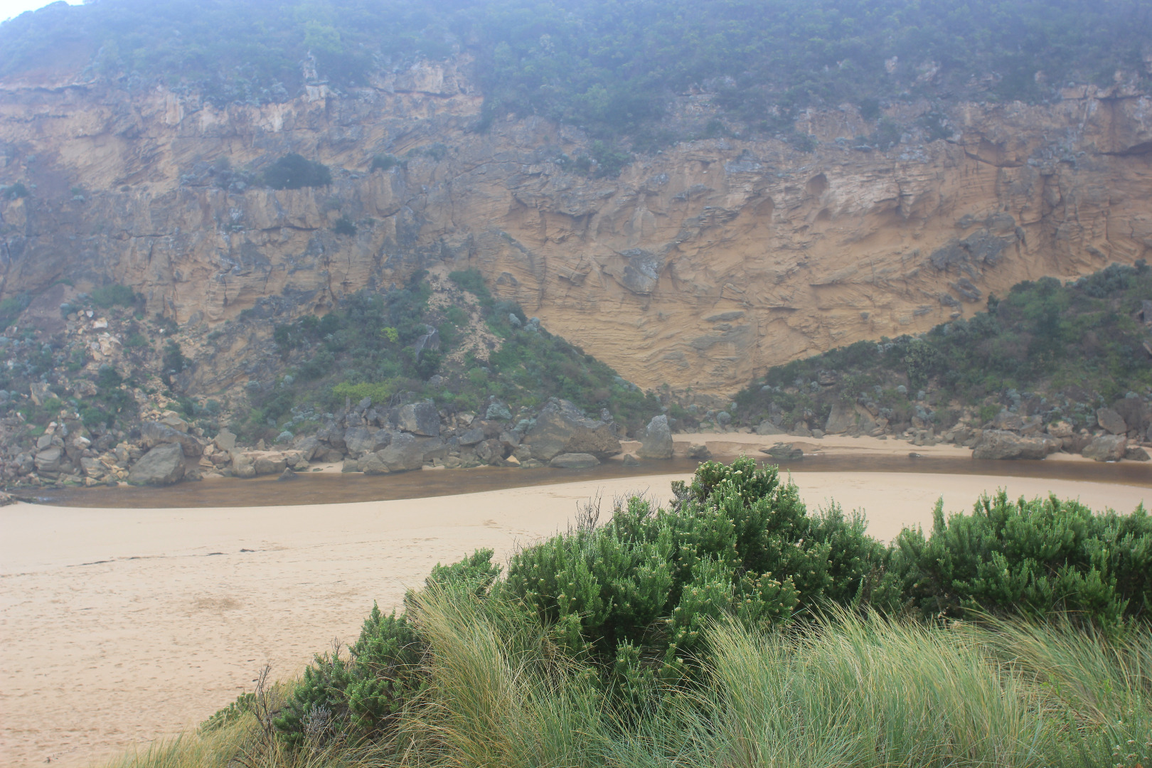
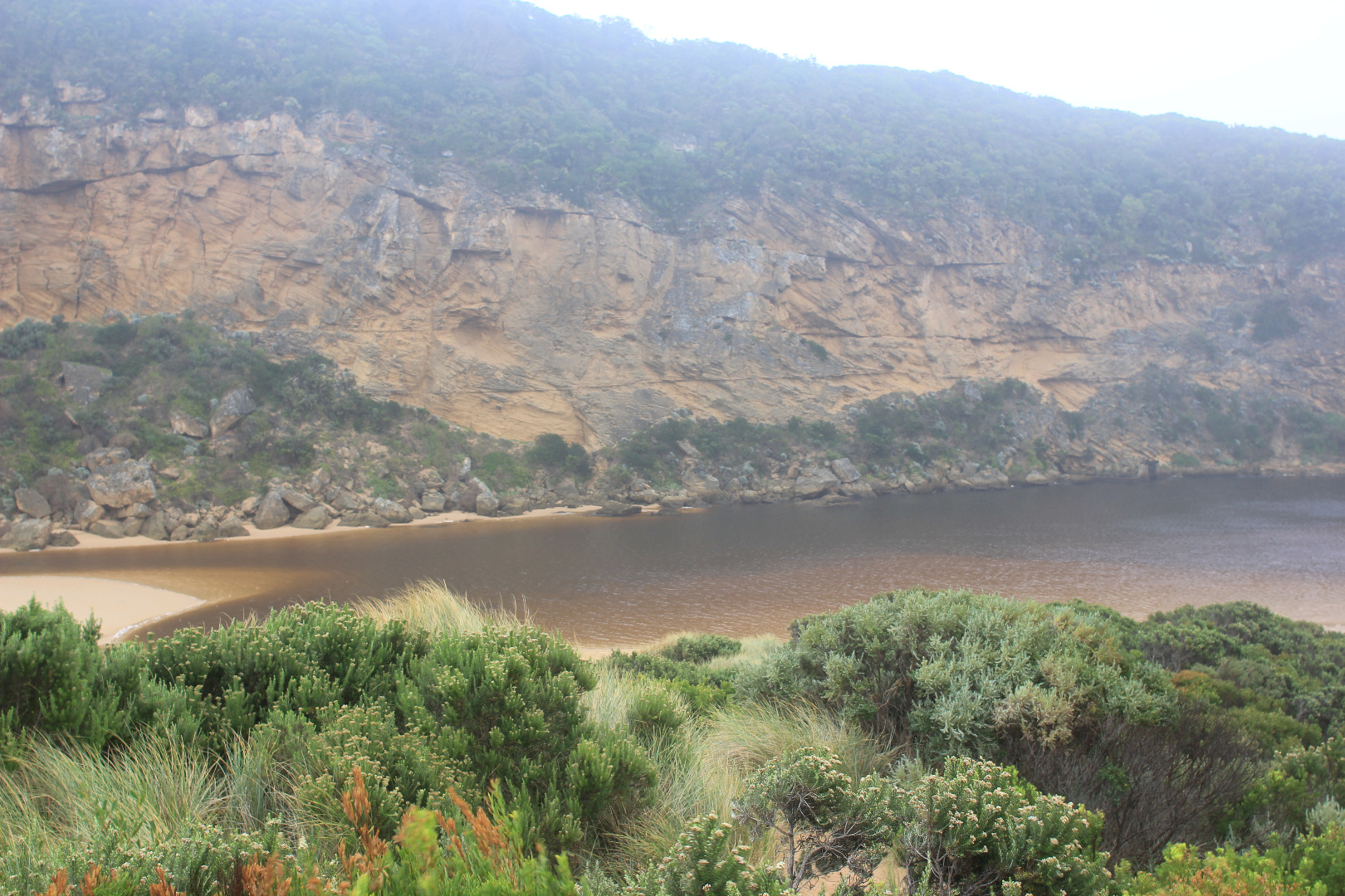
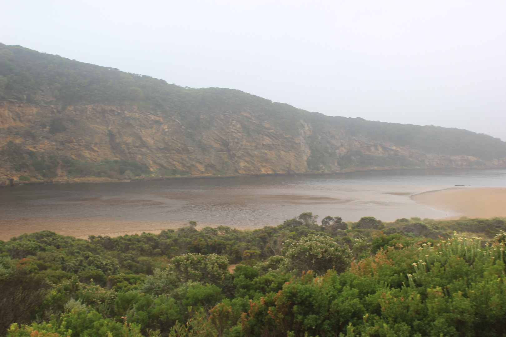
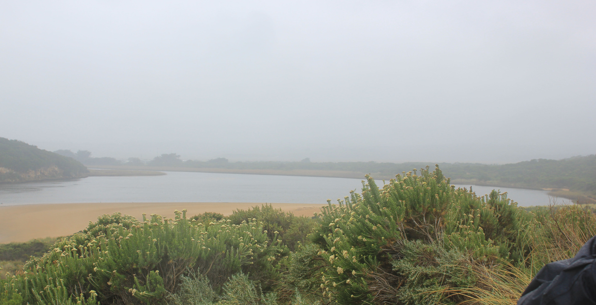
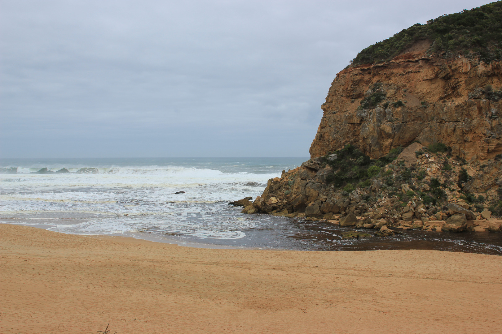
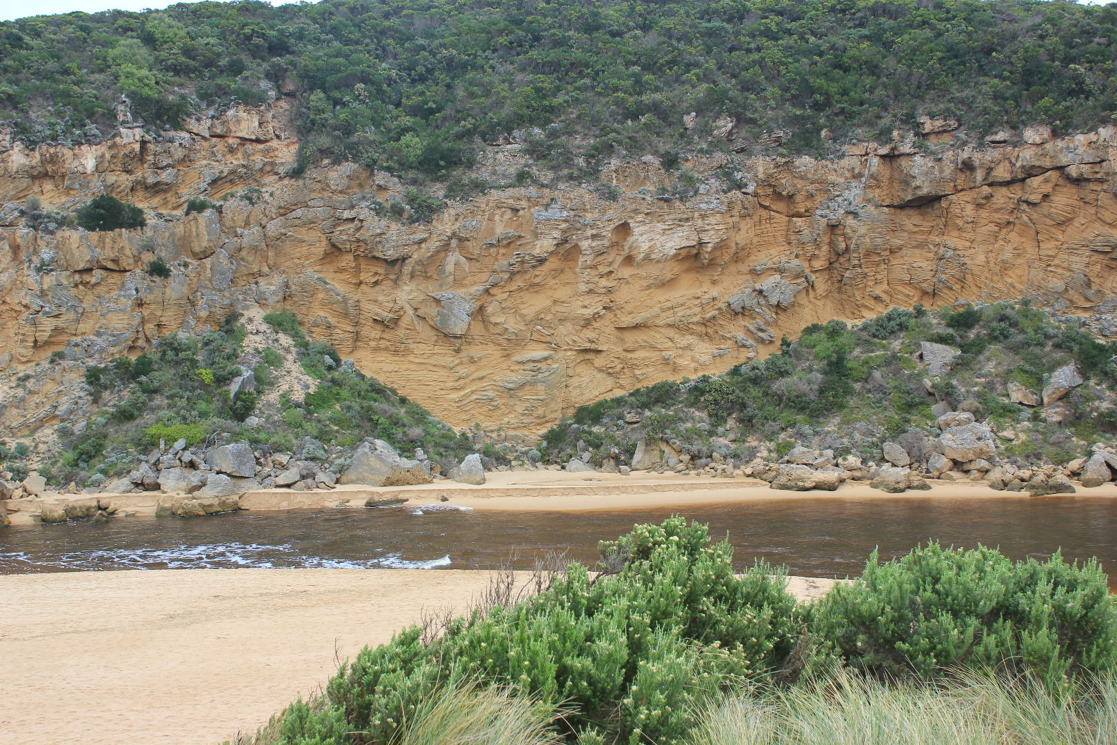
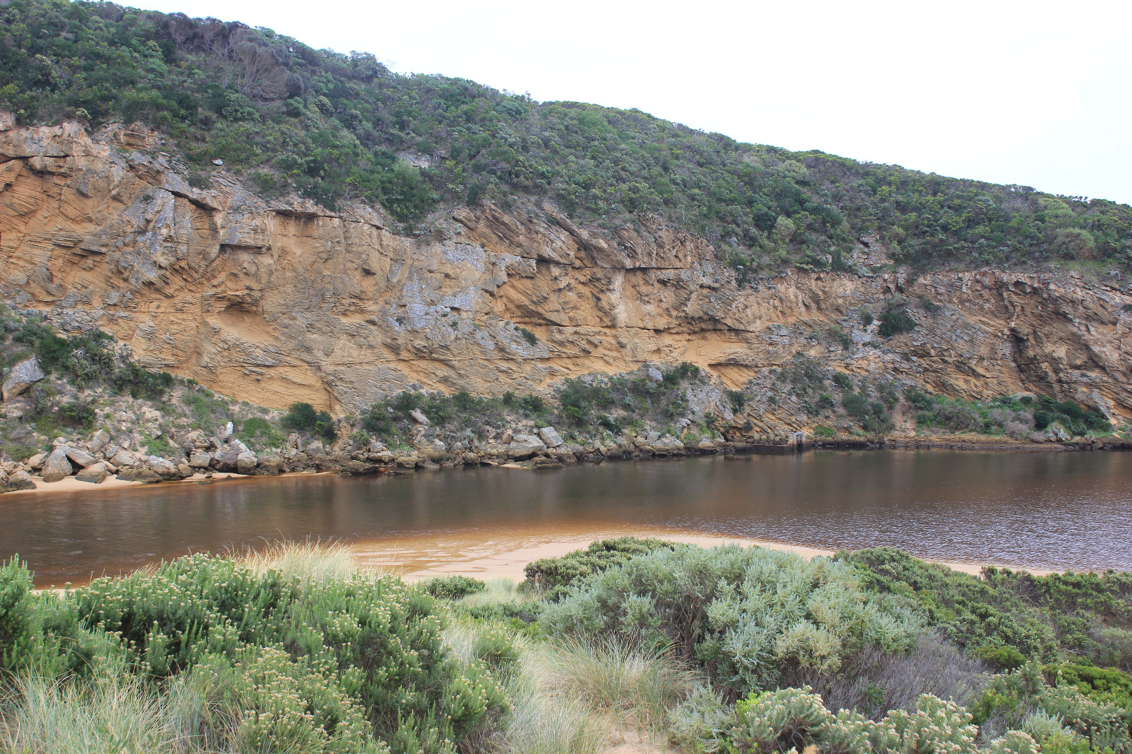
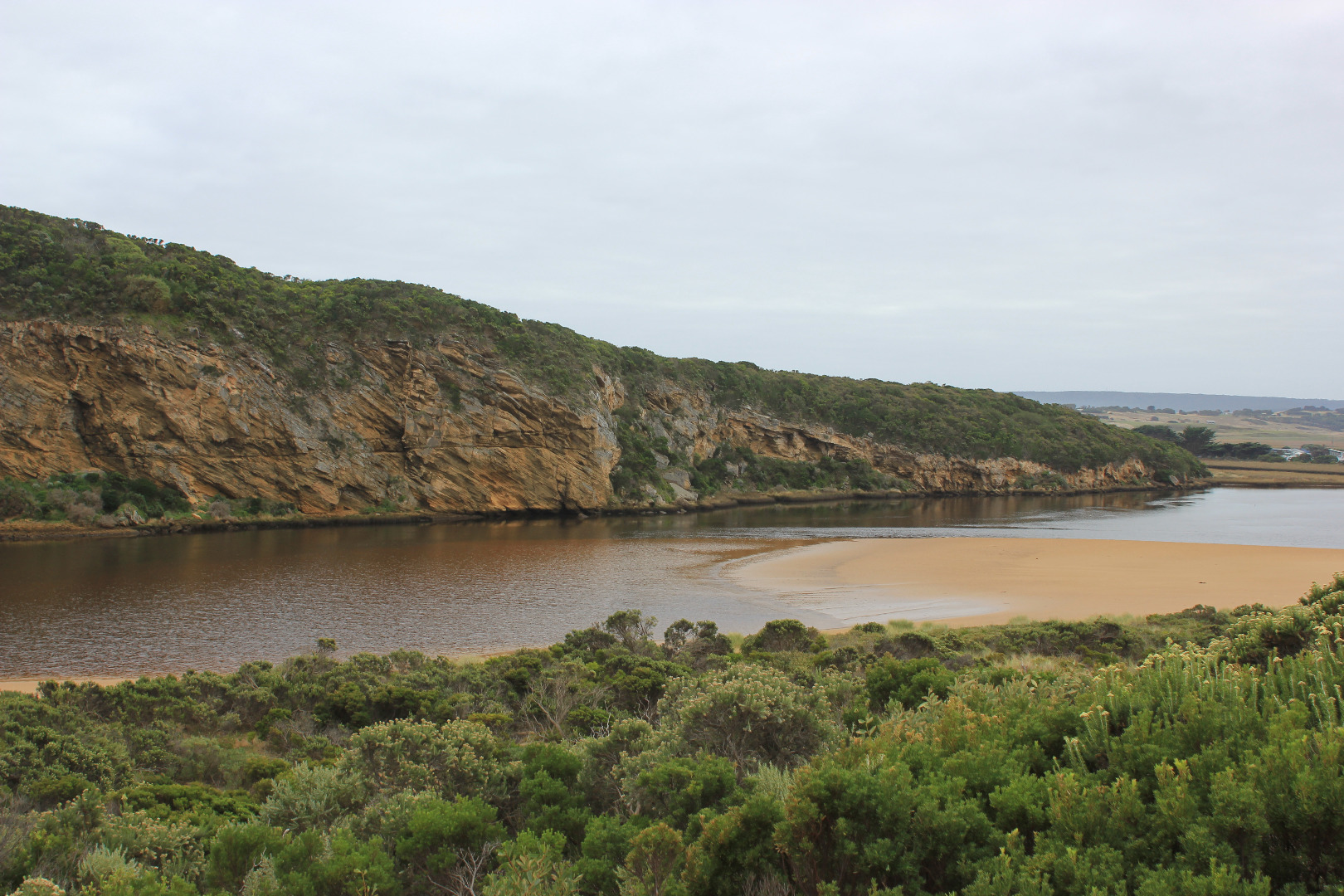
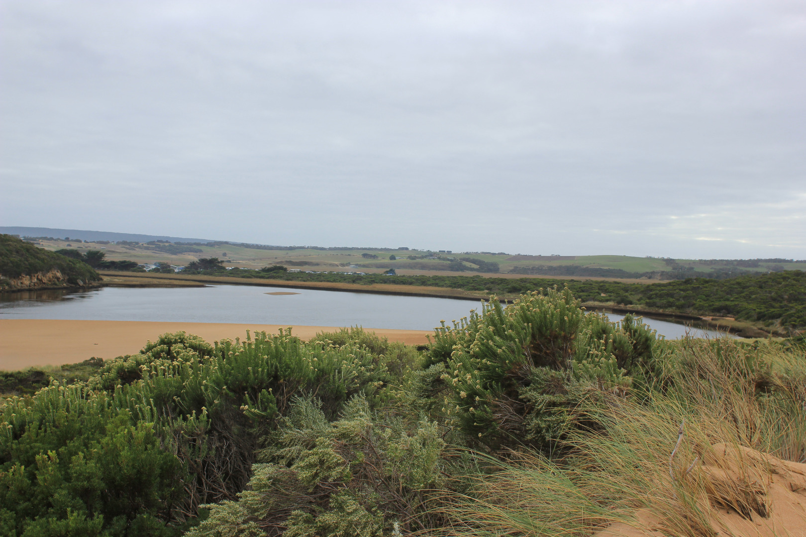
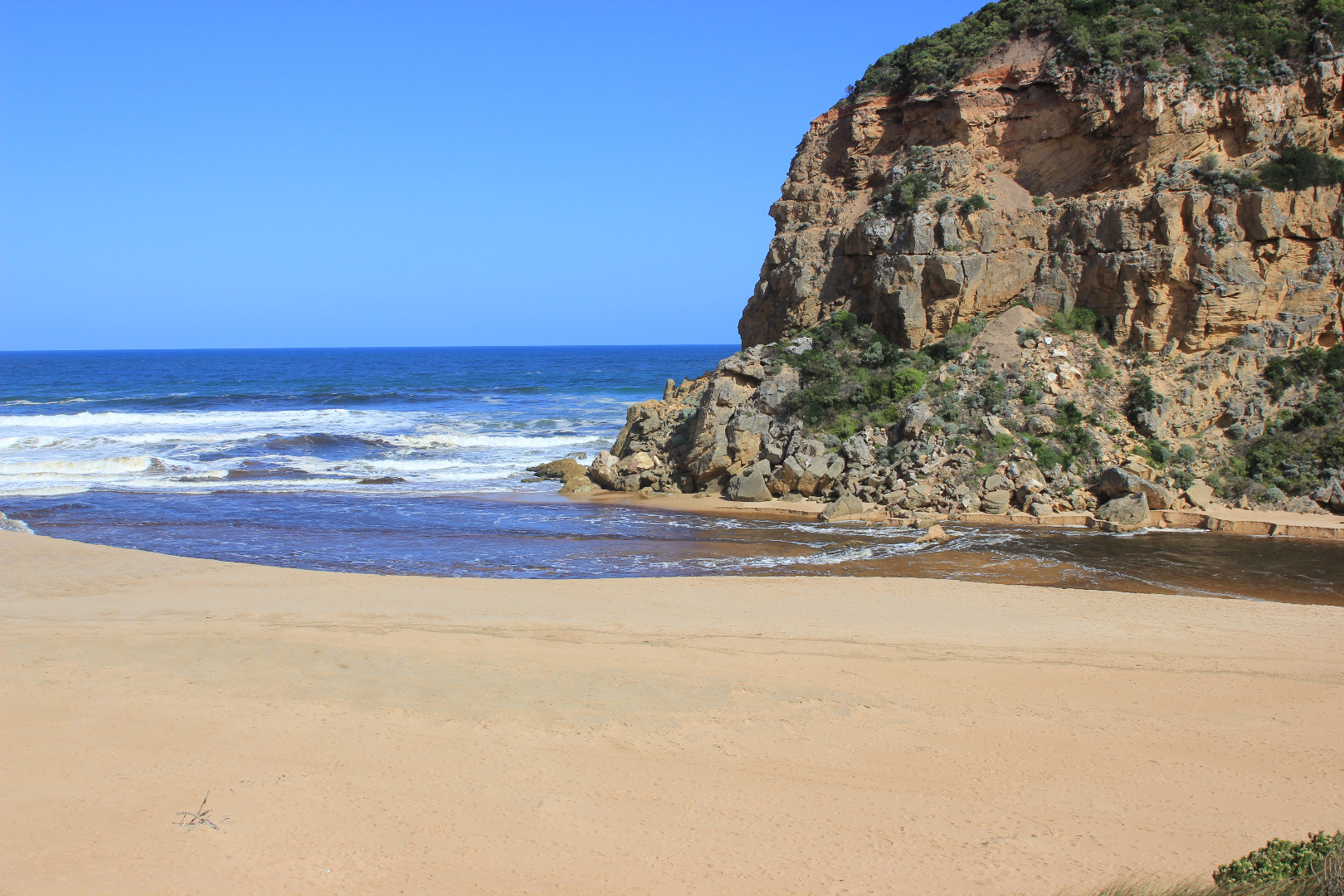
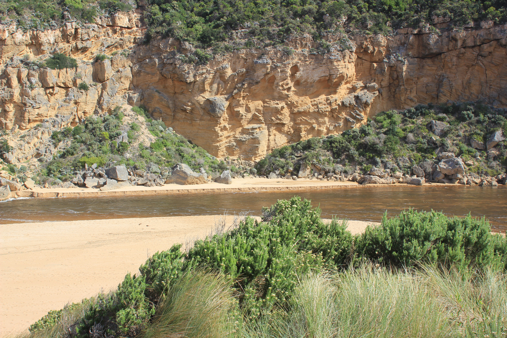
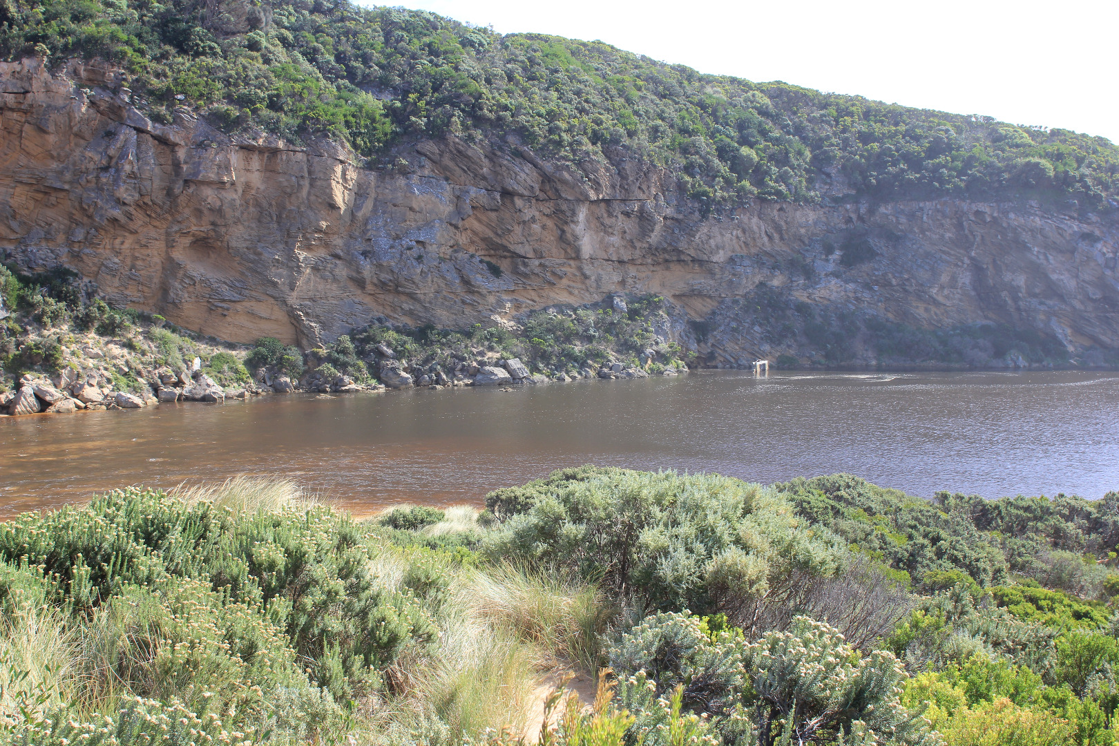
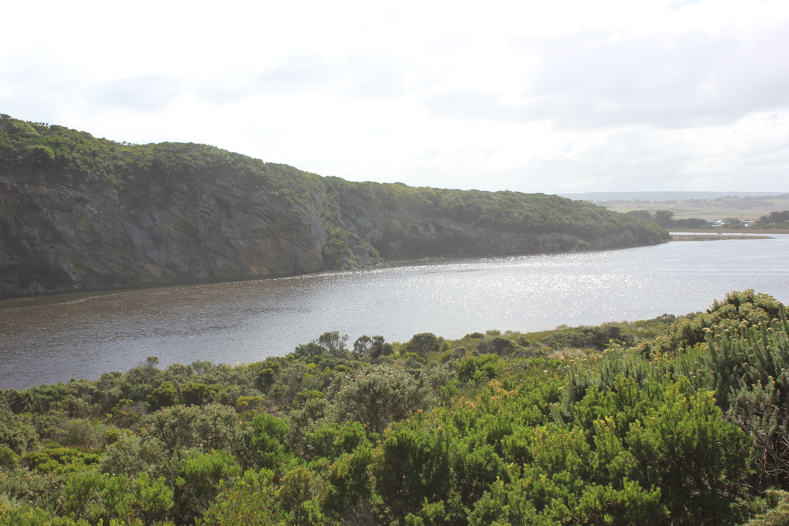
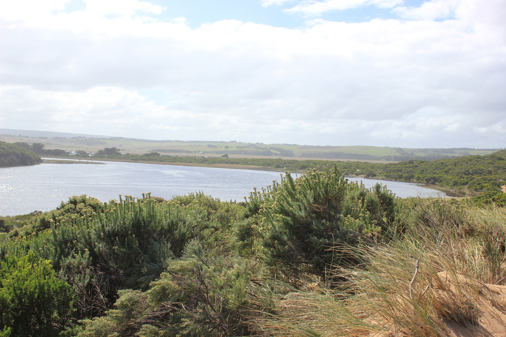
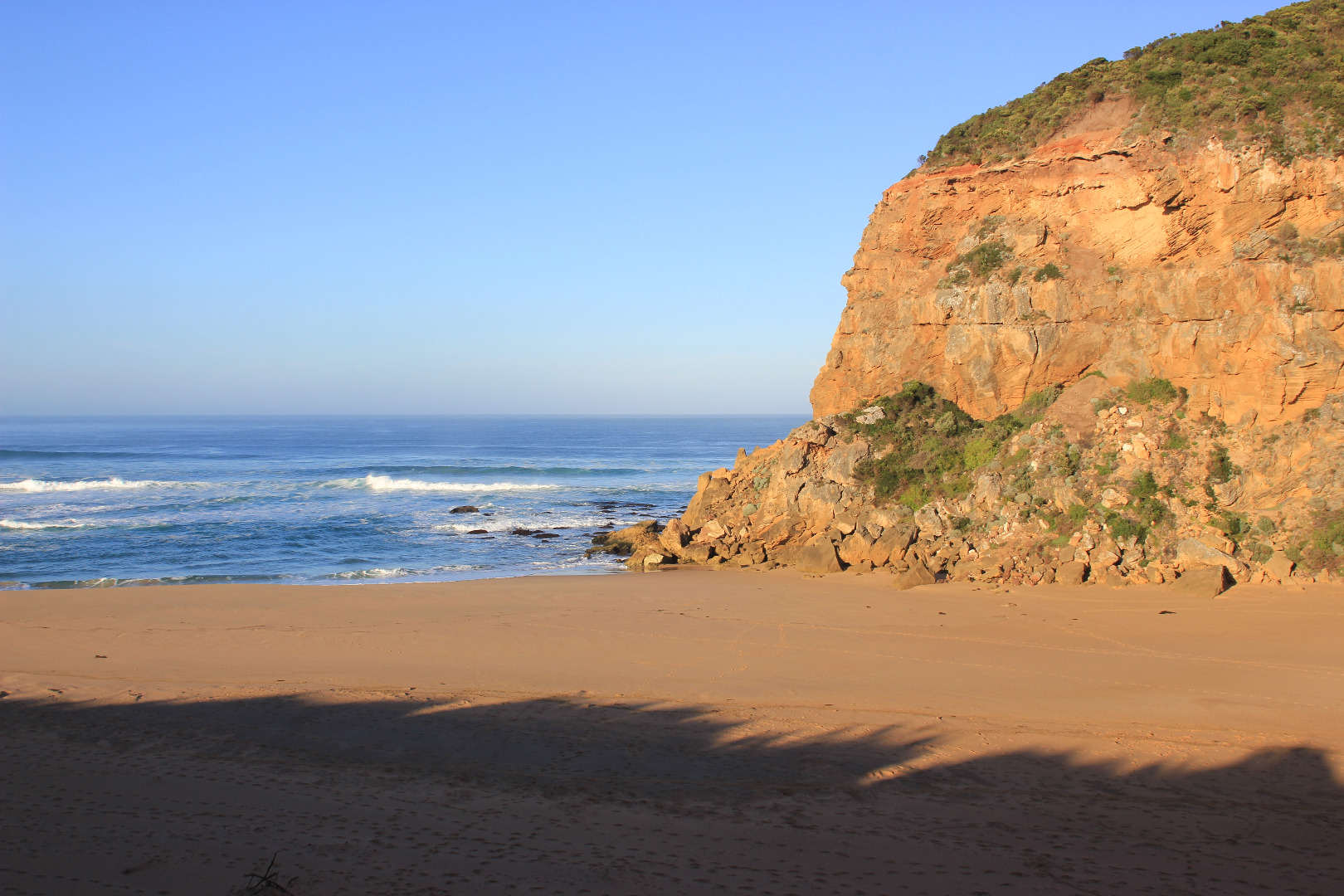
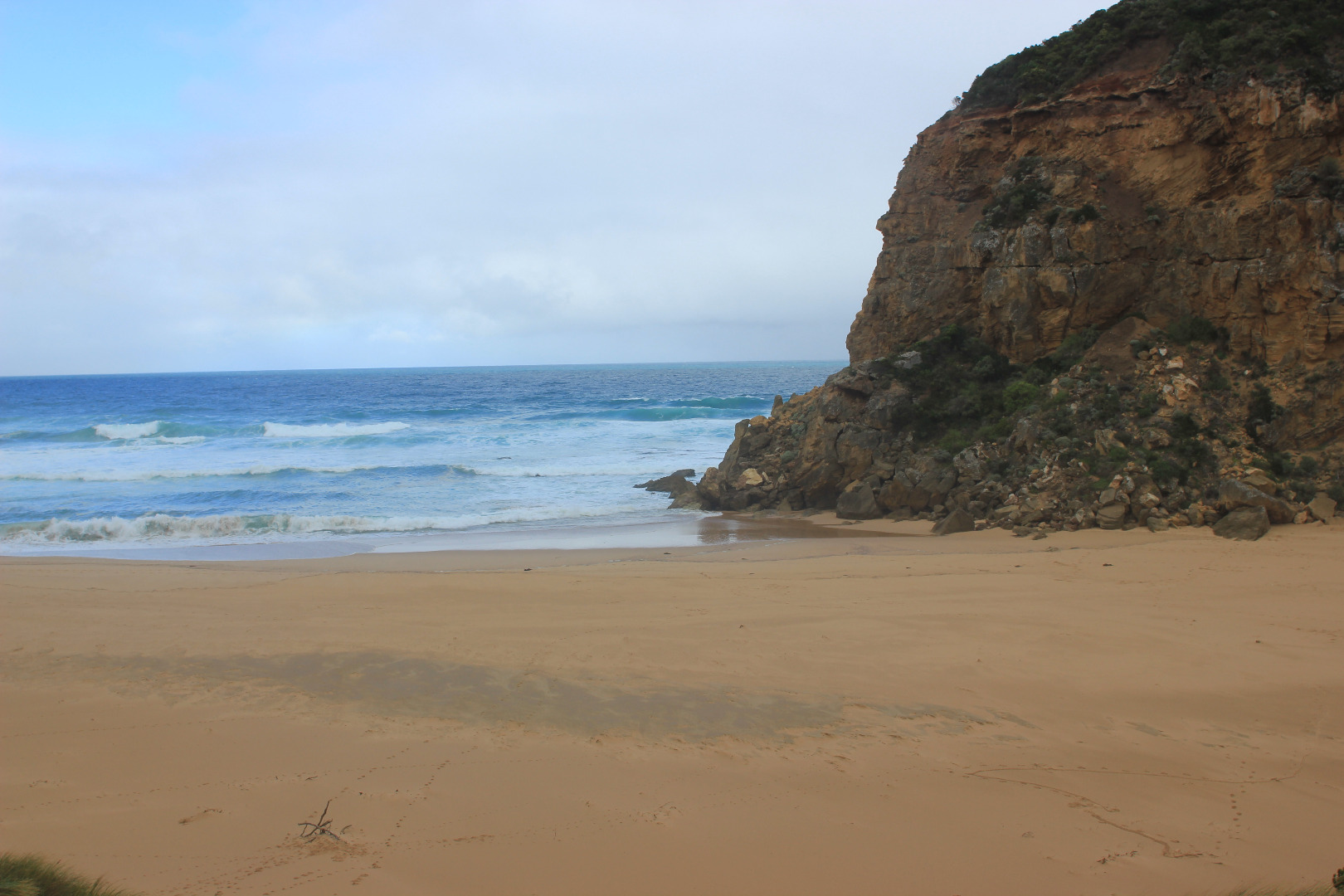
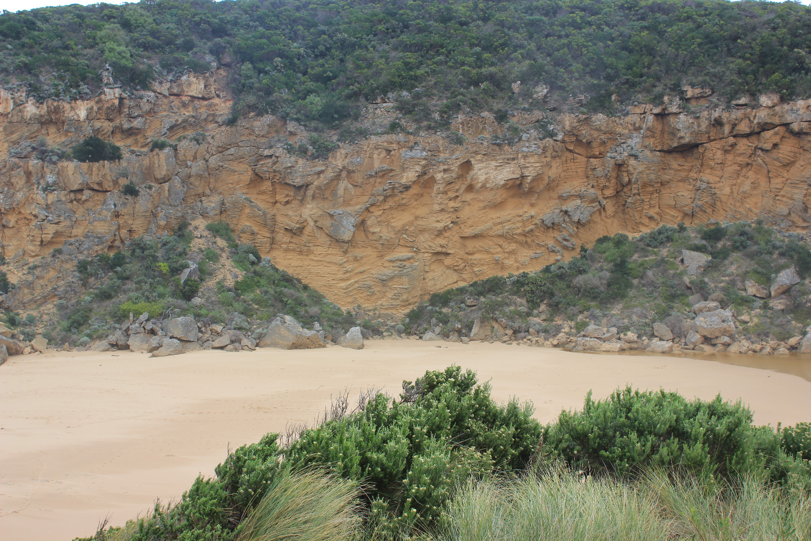
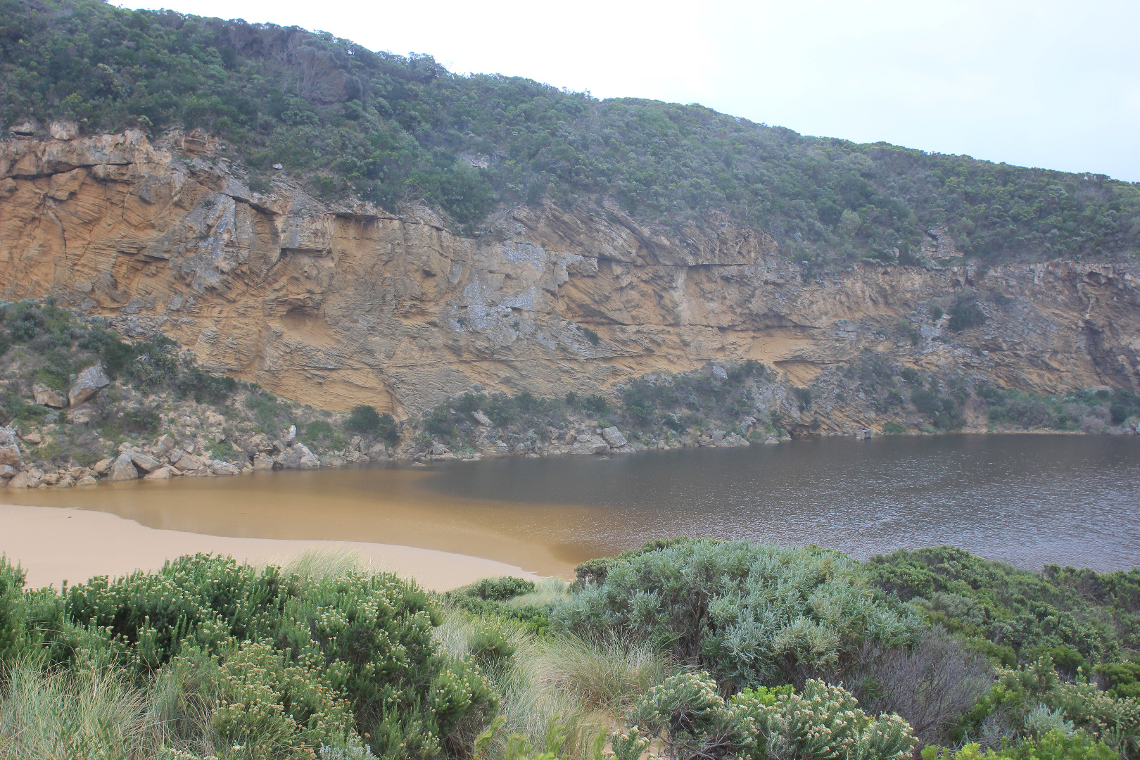
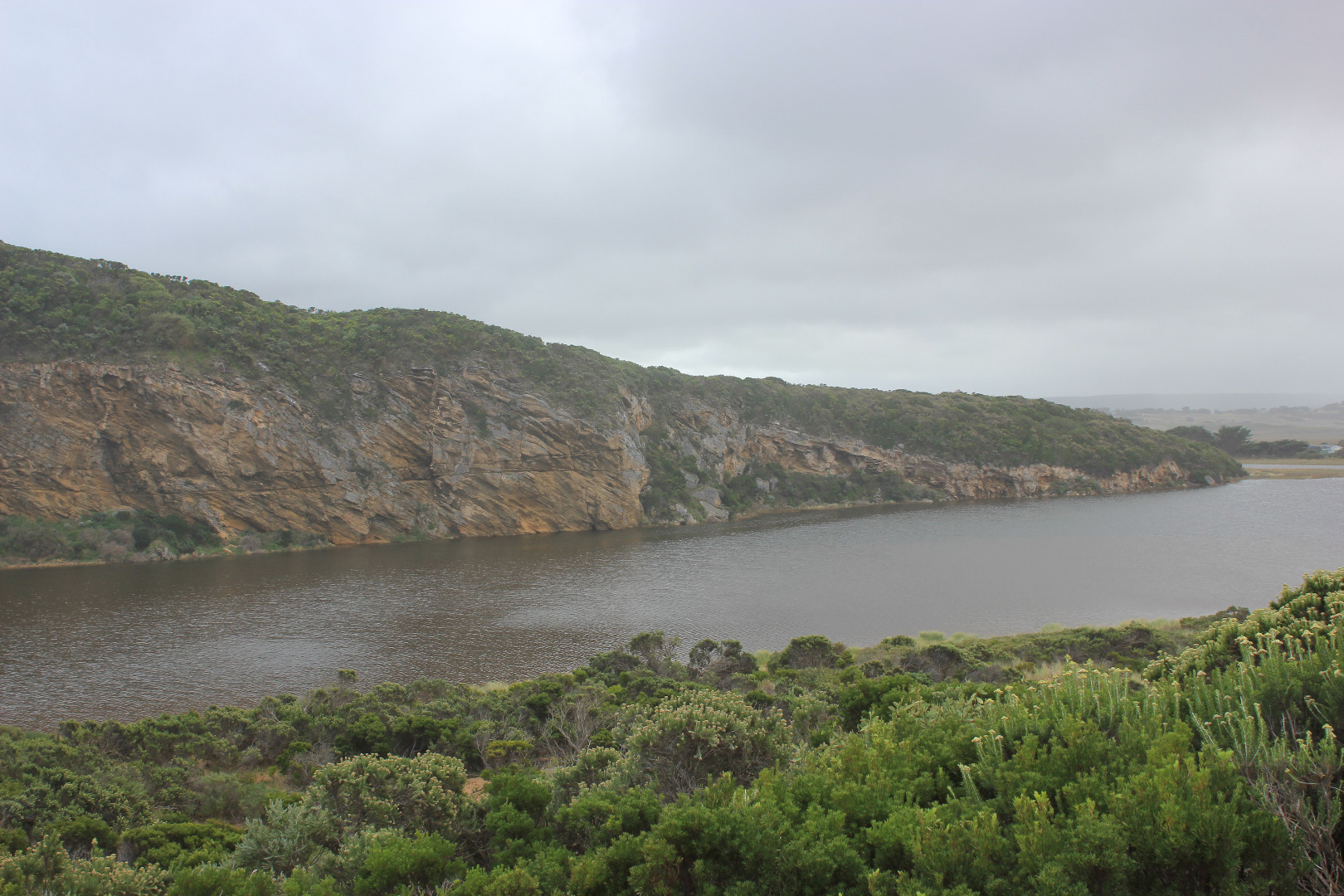
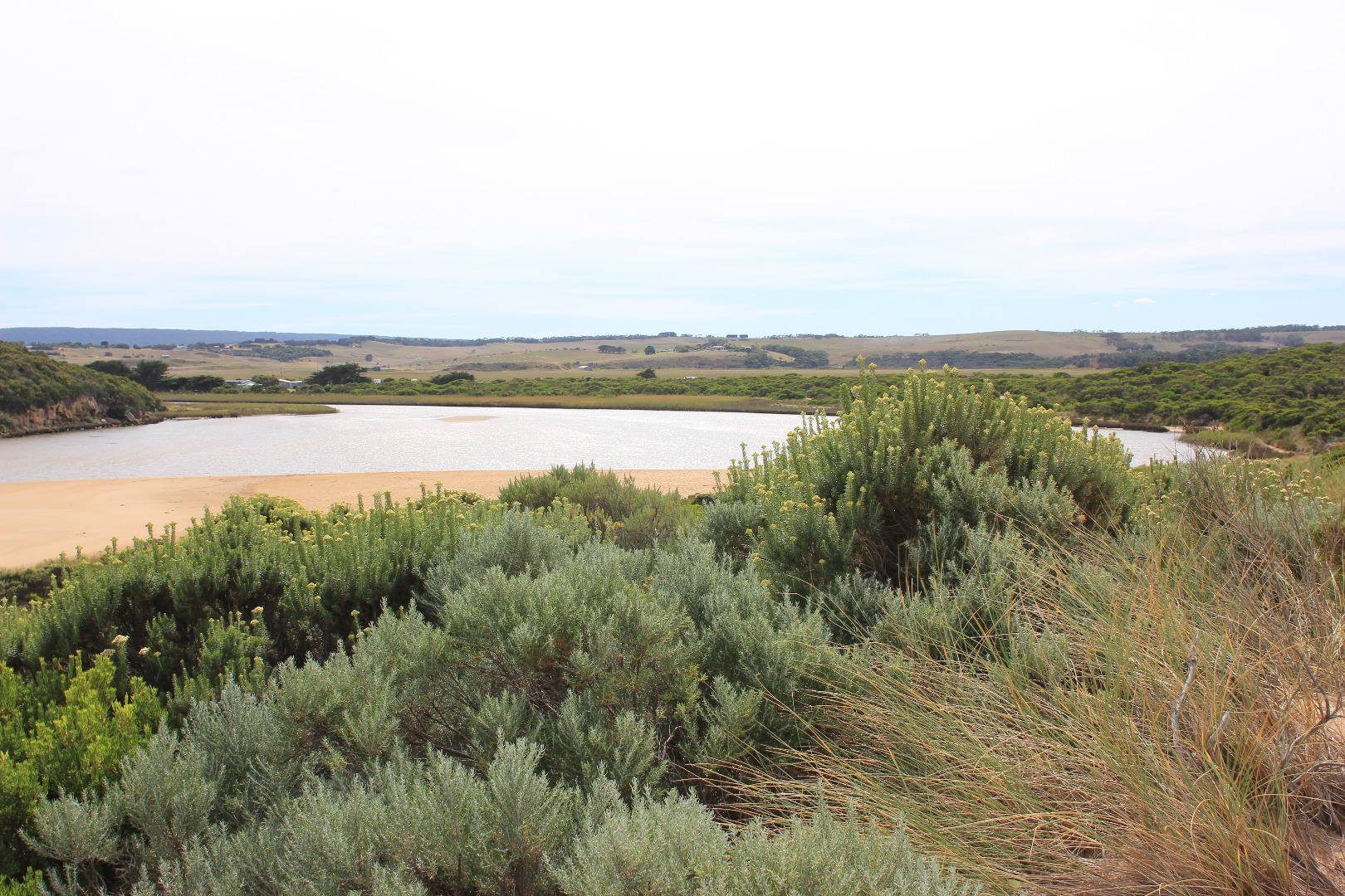
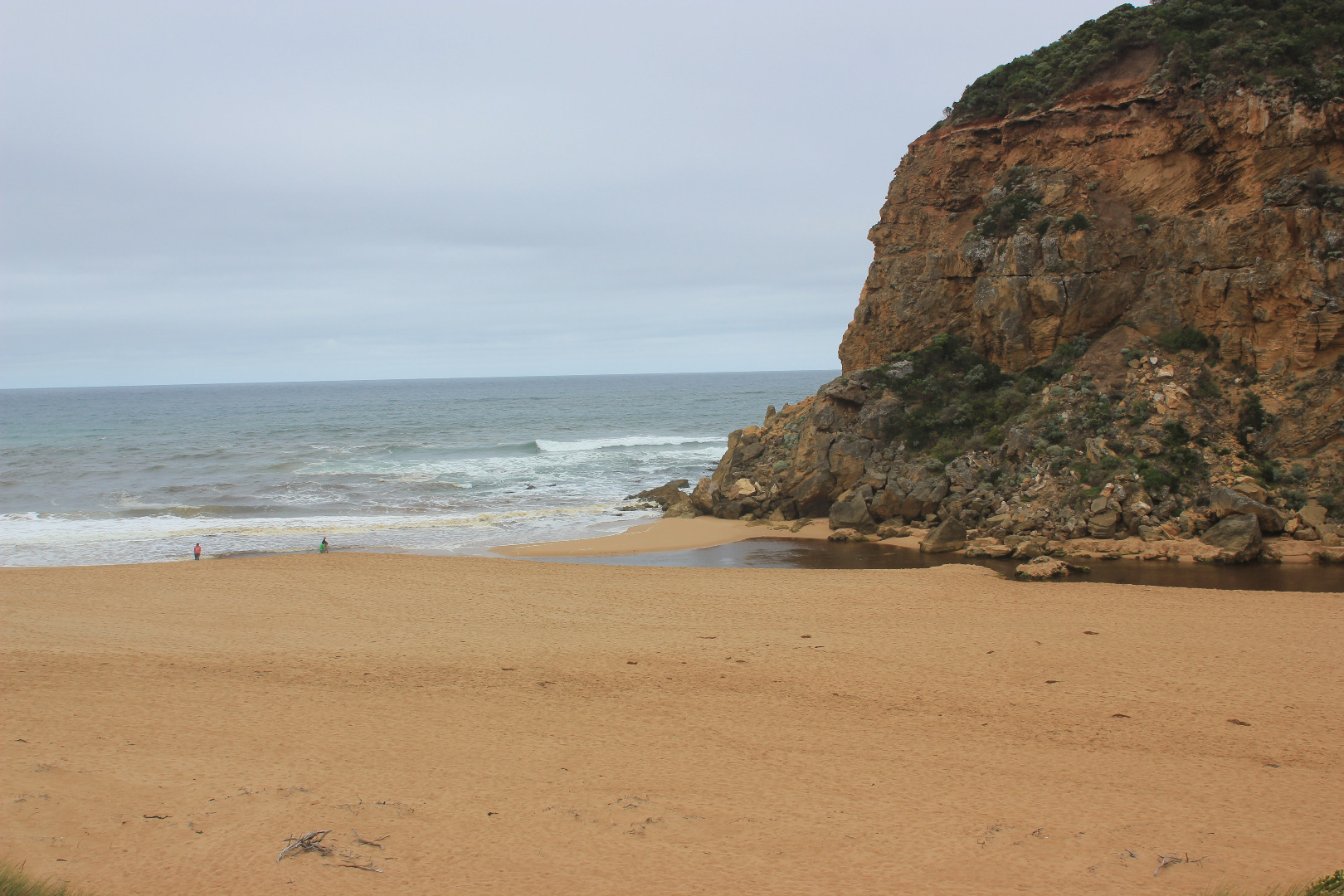
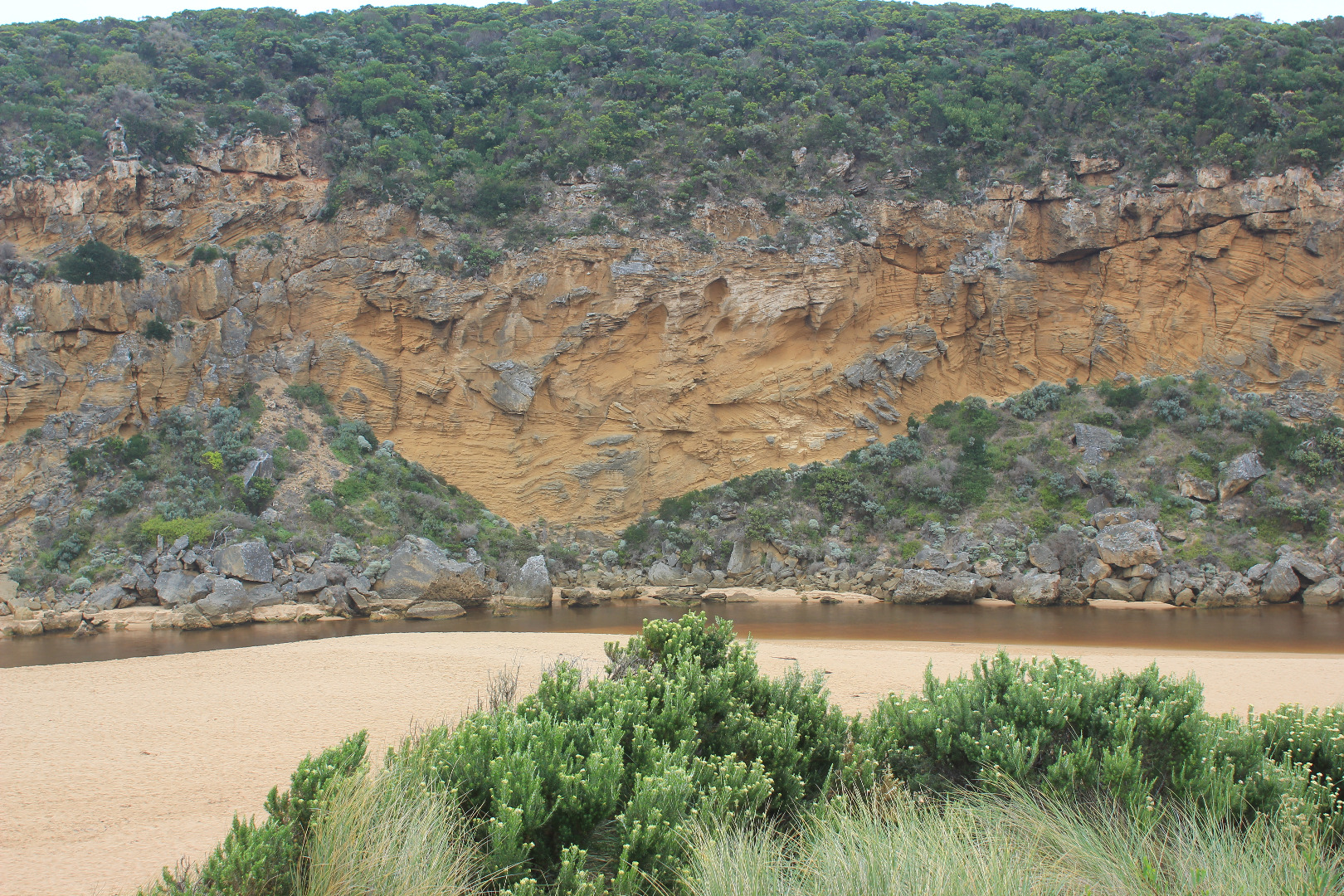
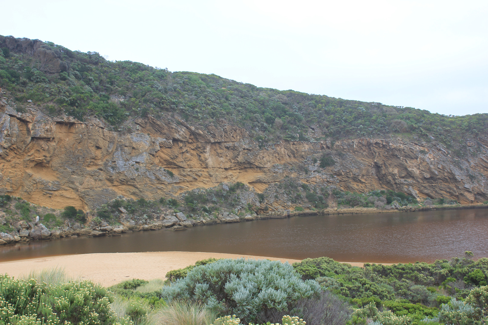
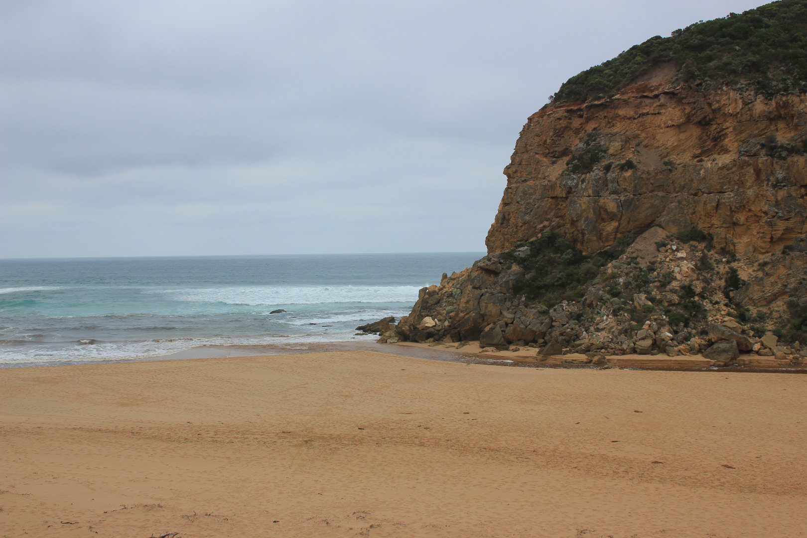
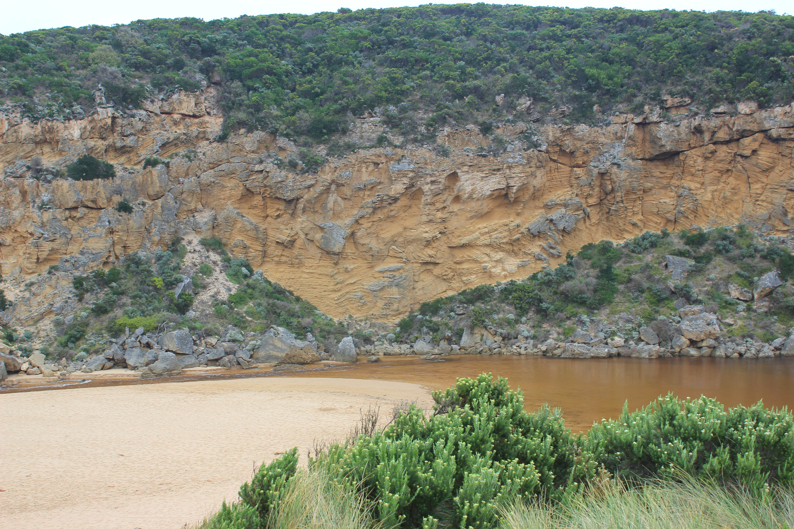
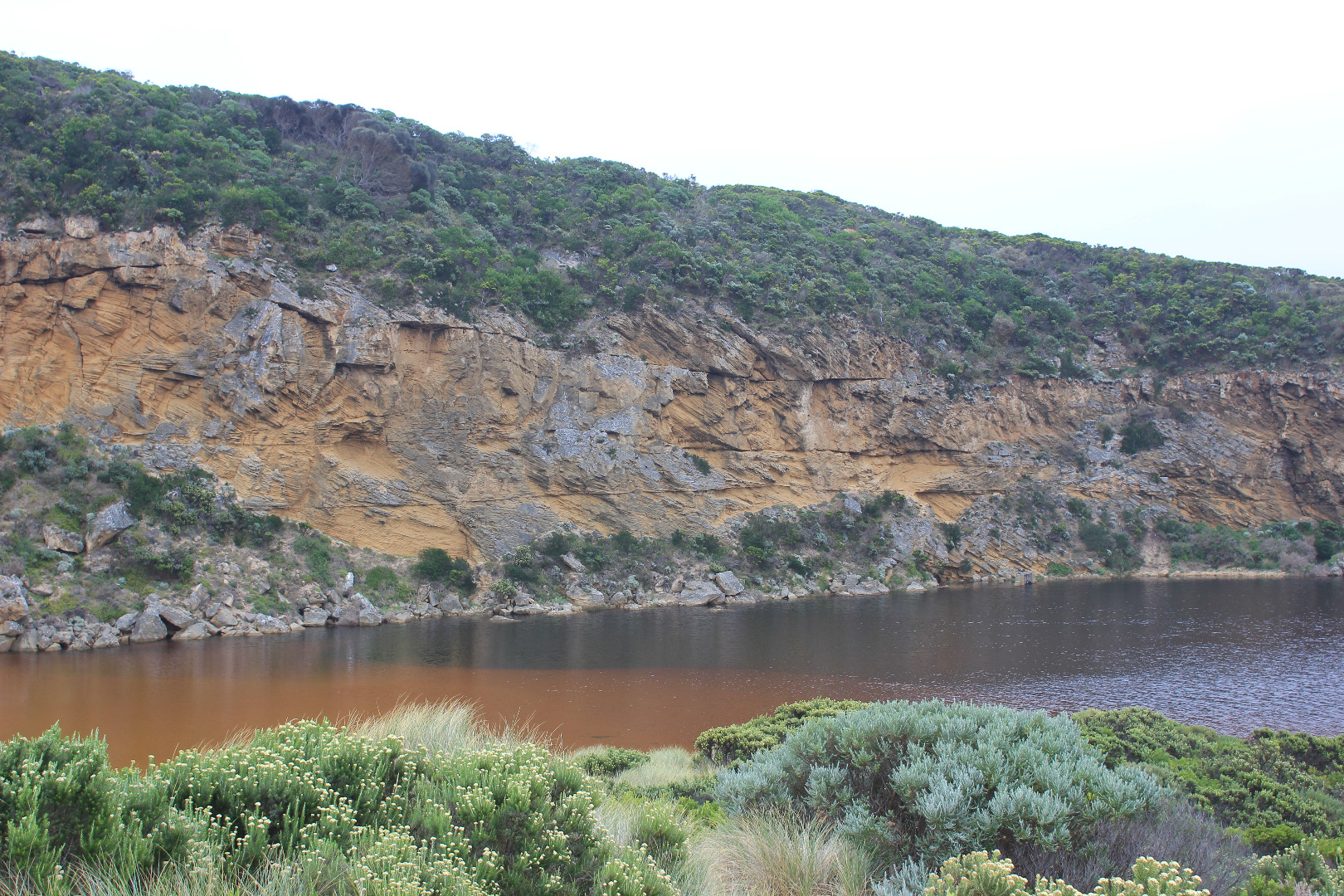
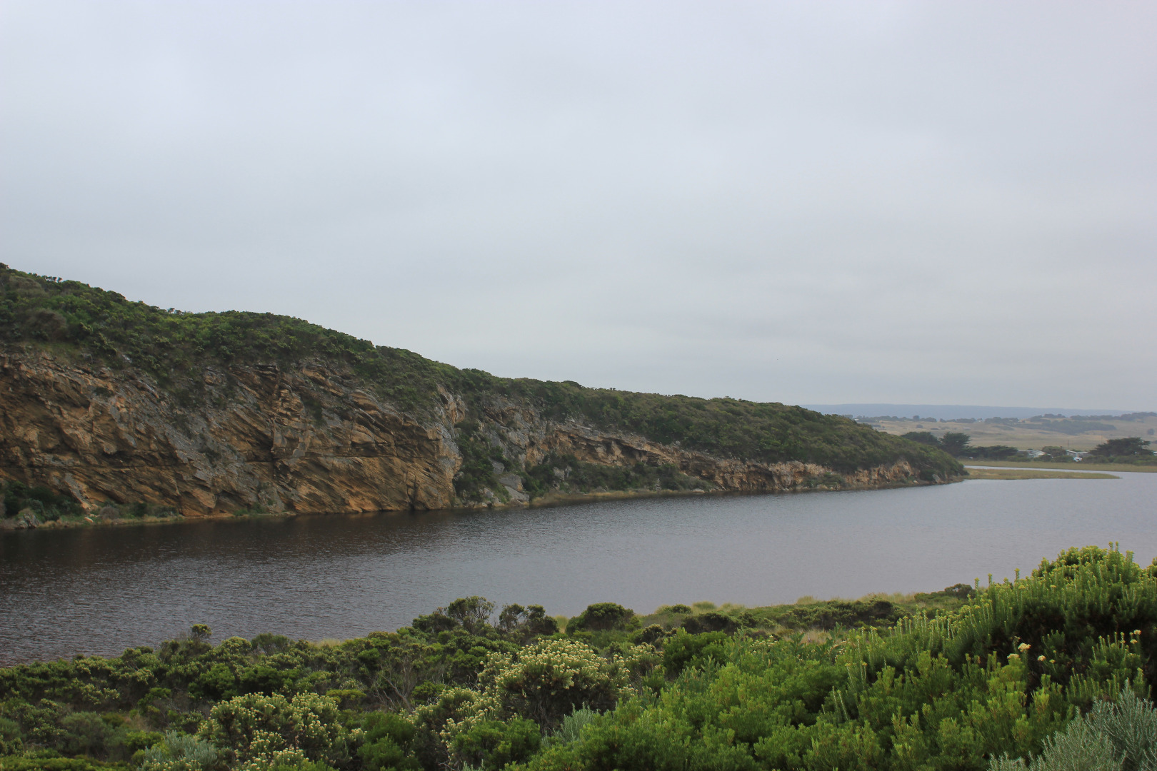
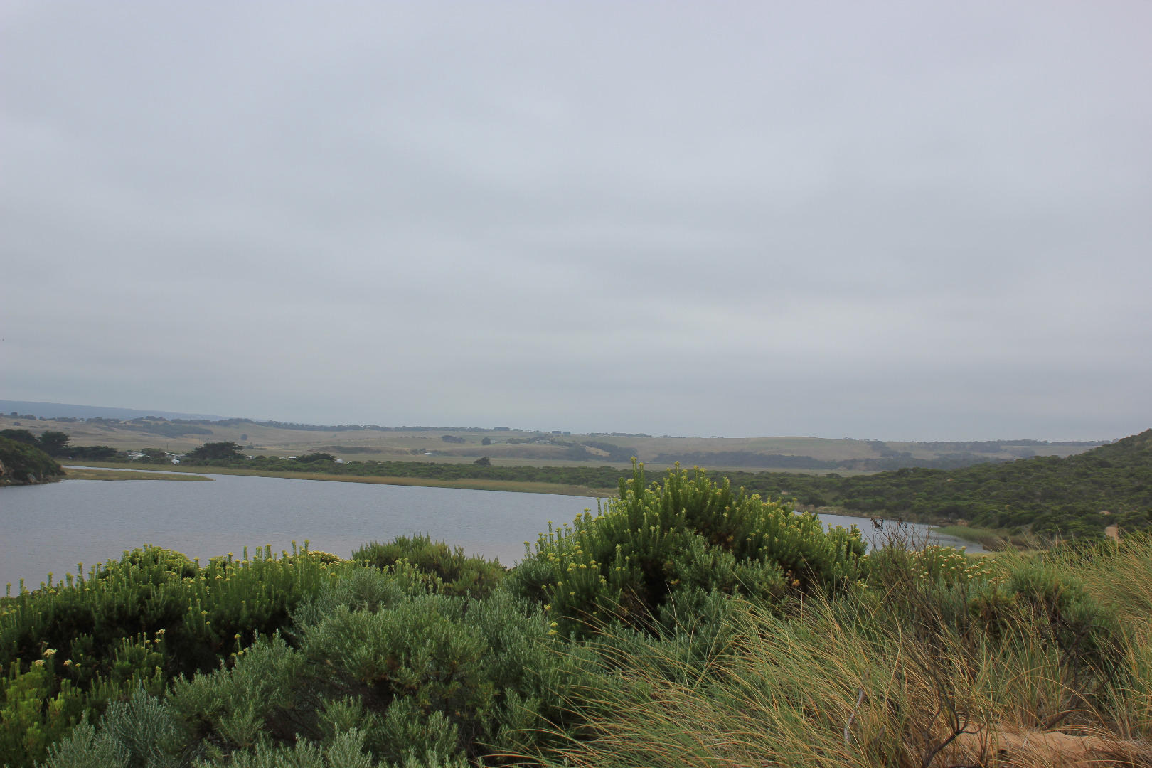
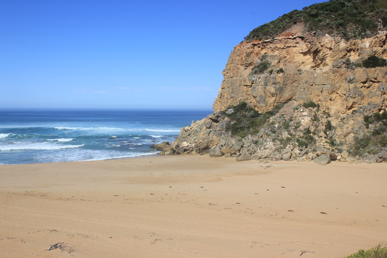
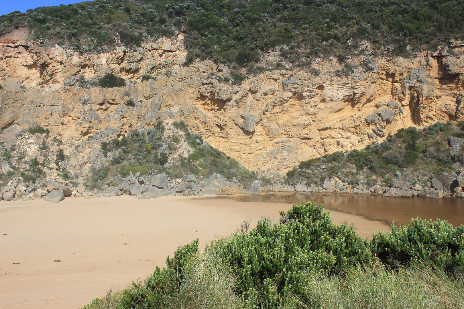
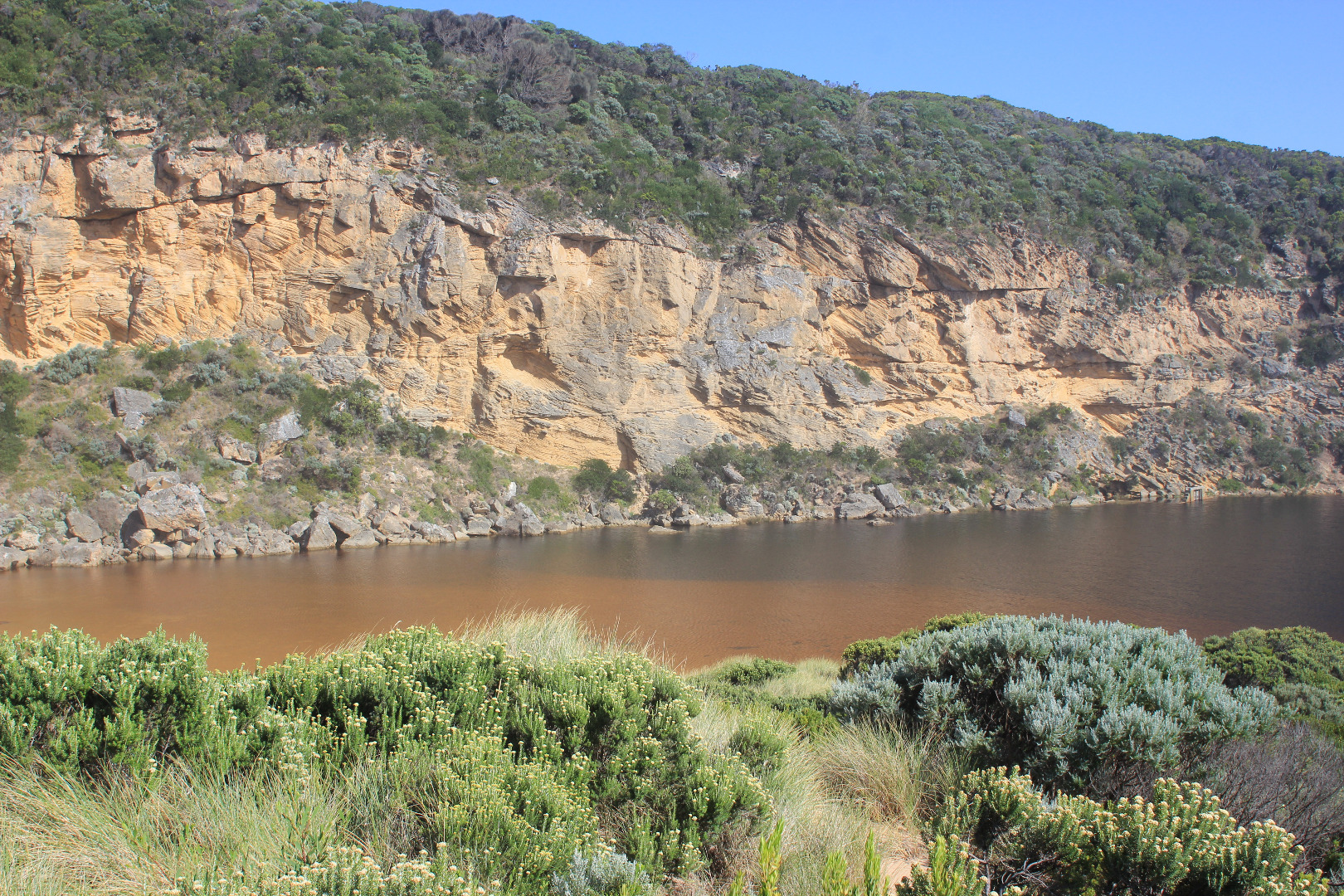
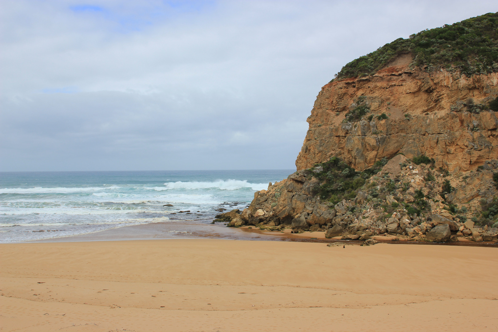
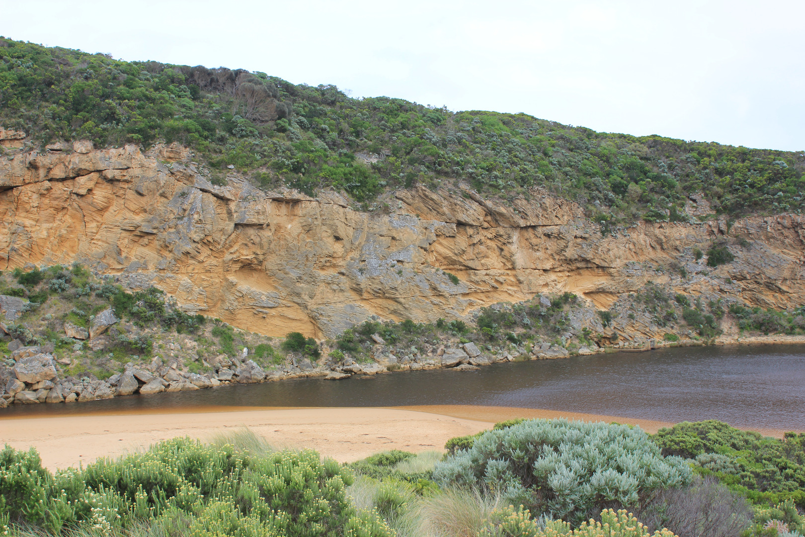
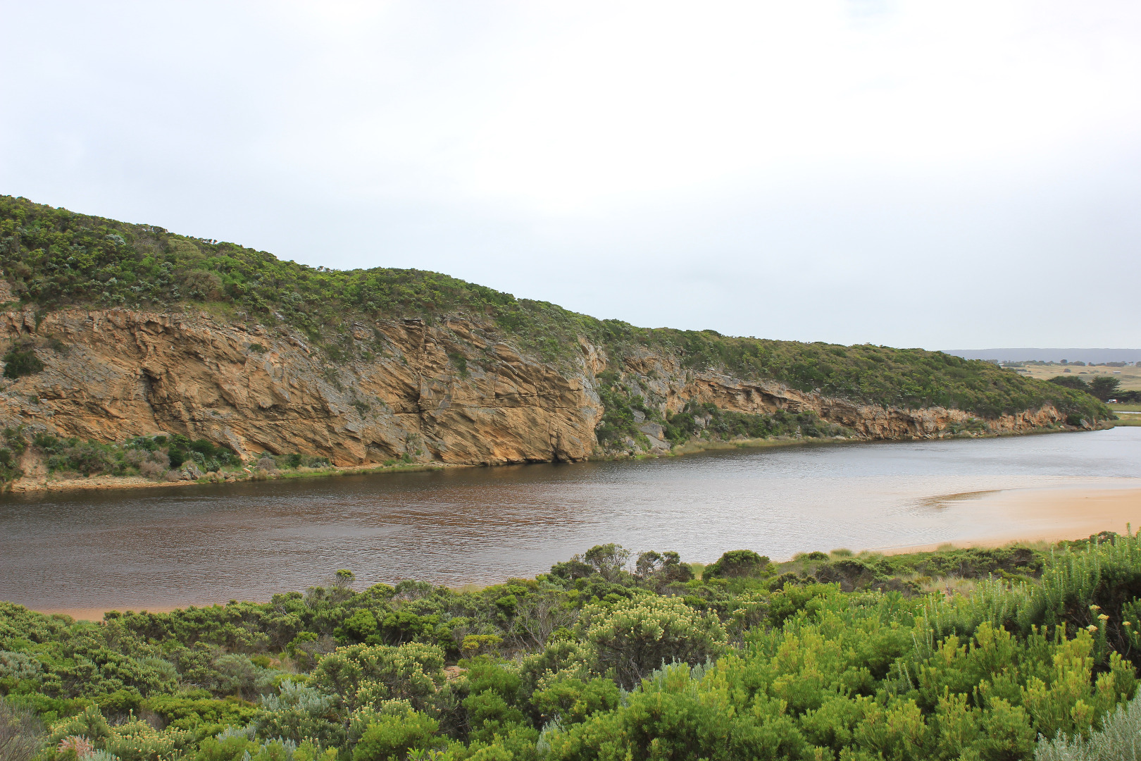
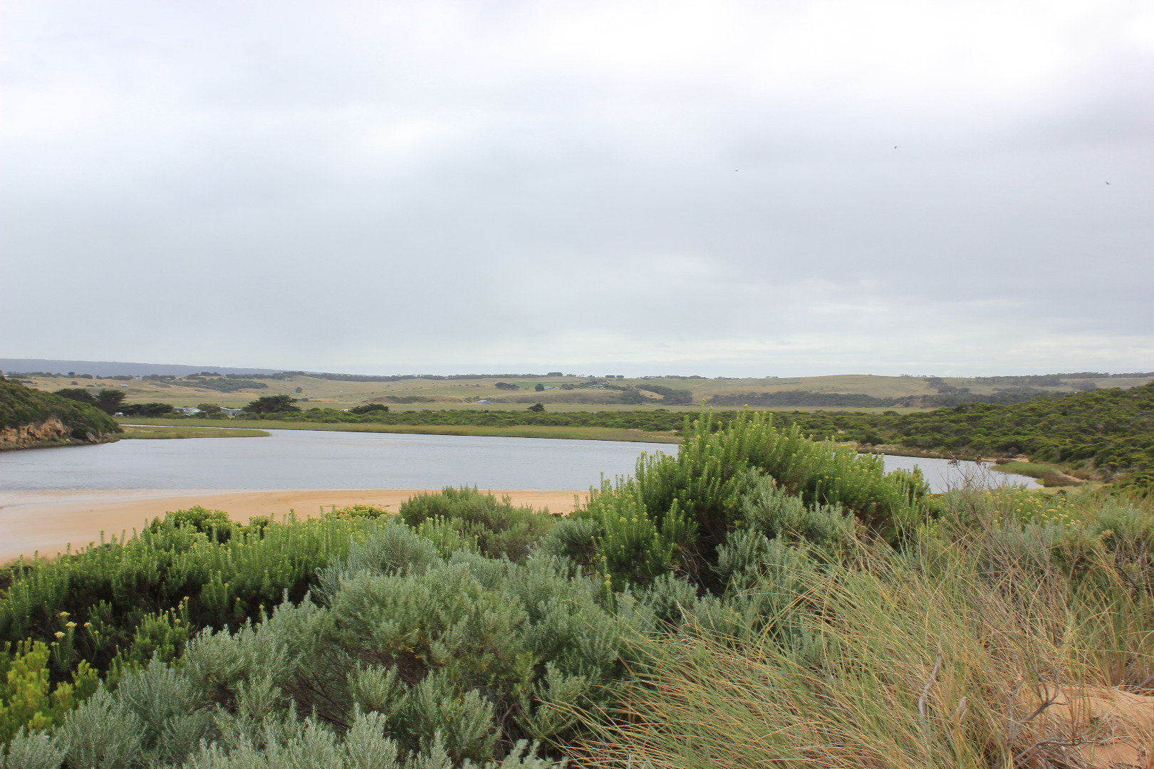
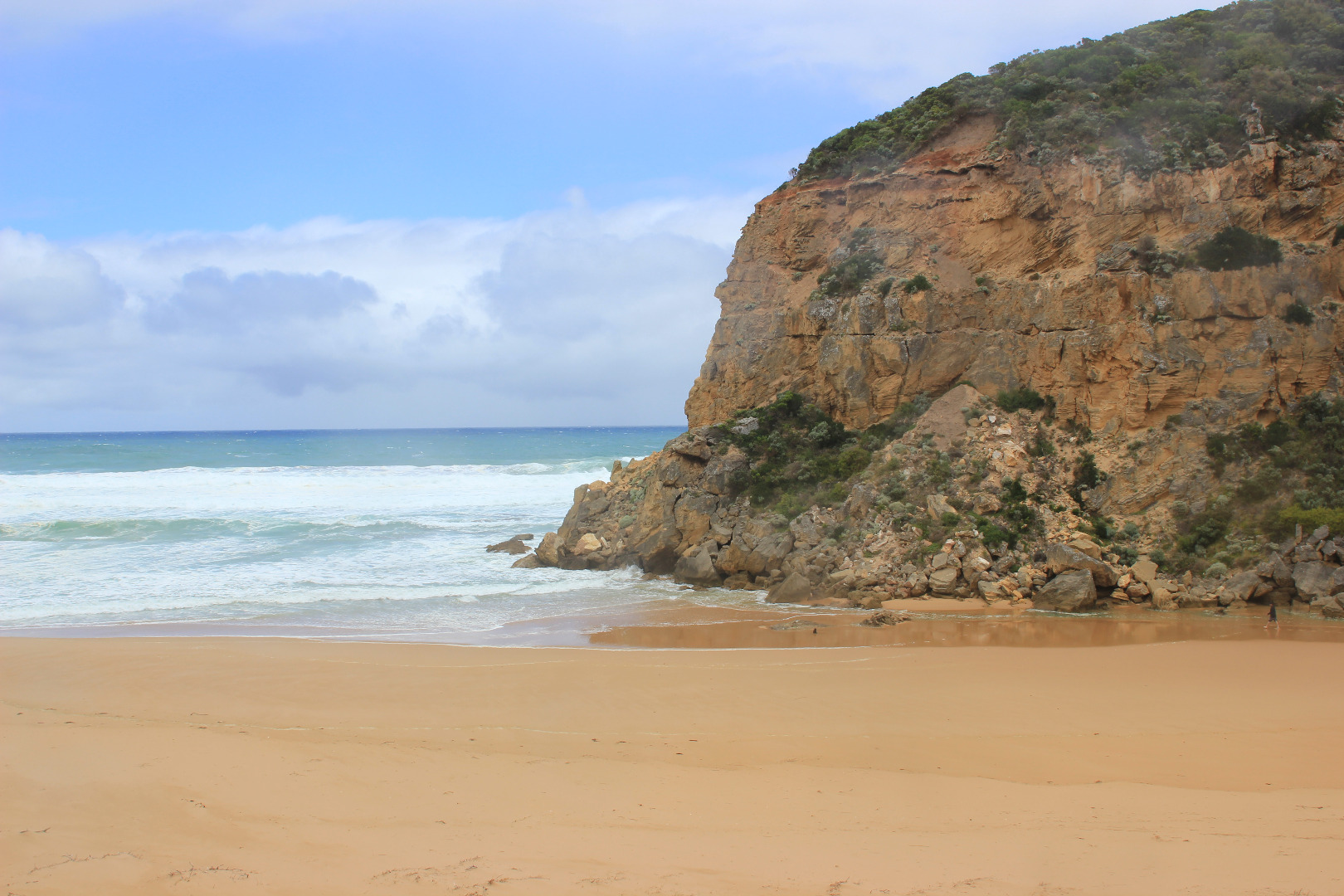
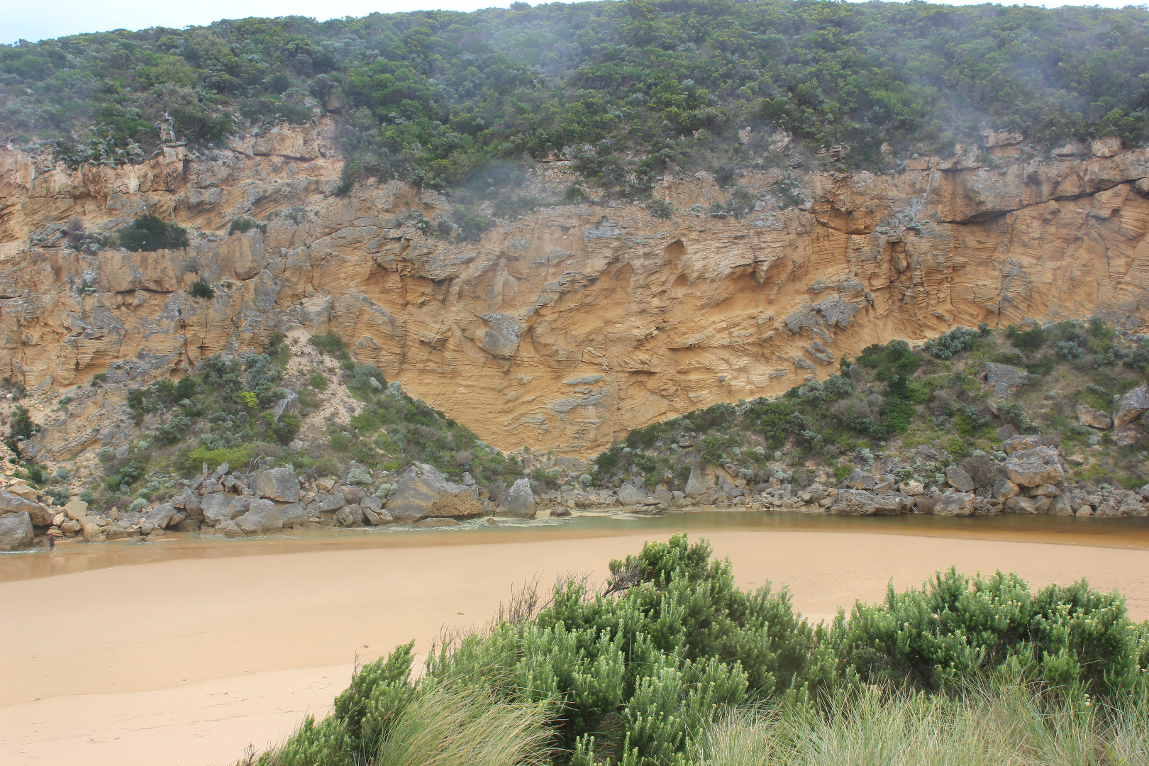
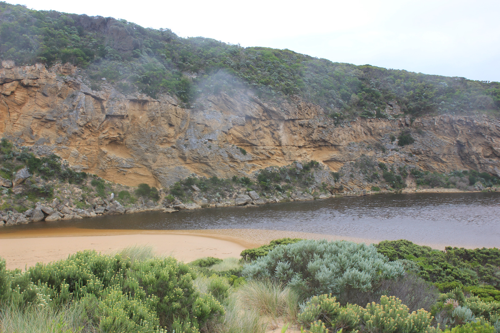
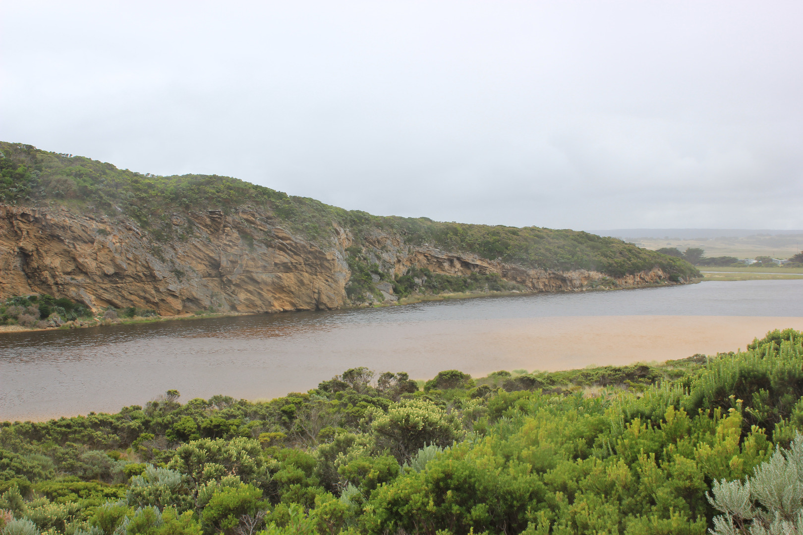
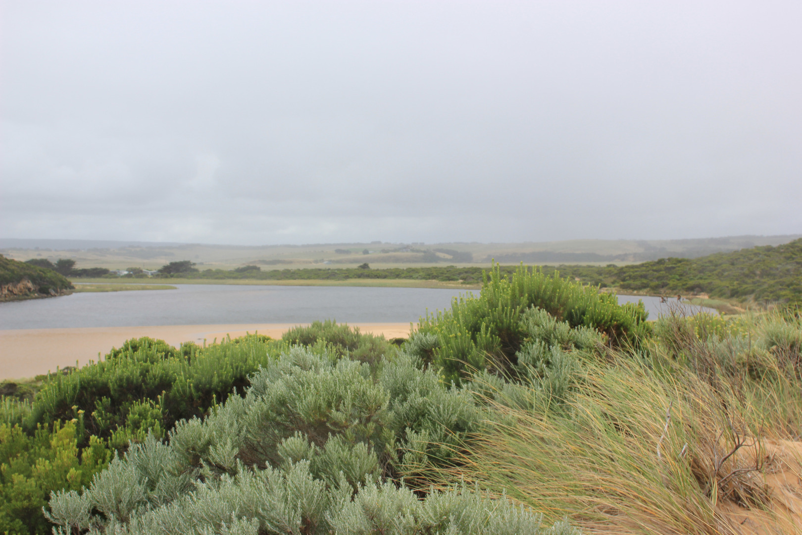
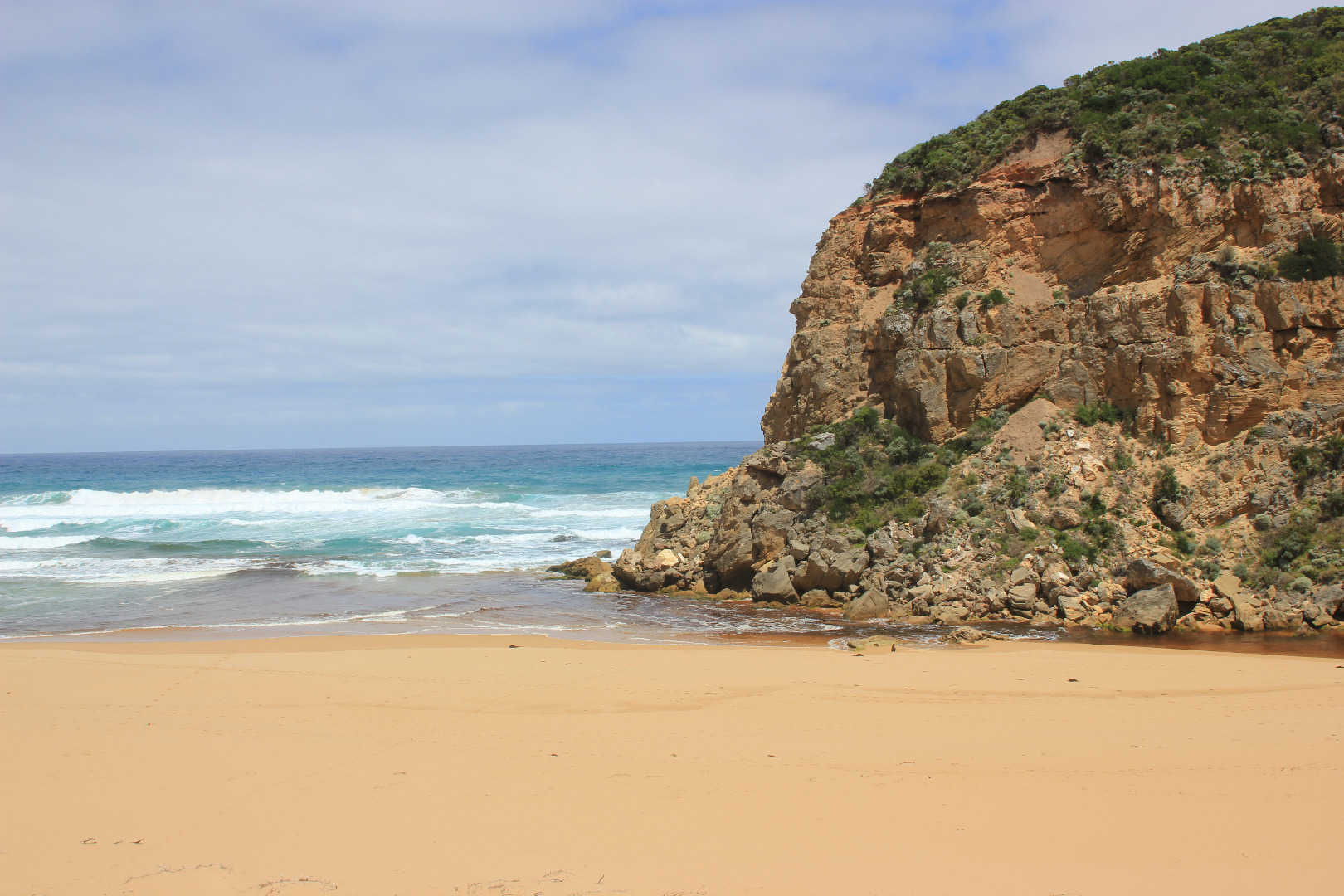
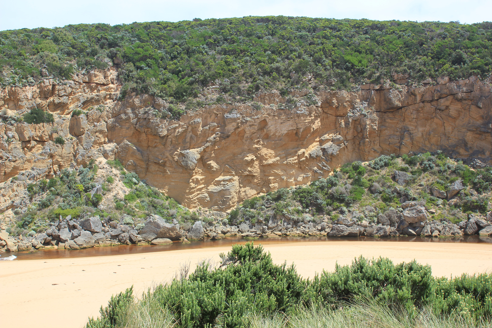
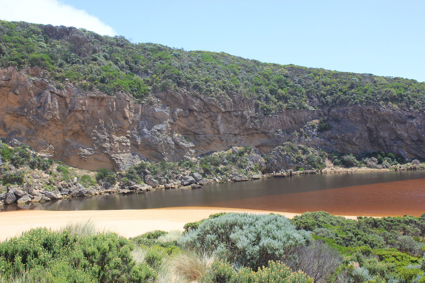
Active Mouth Condition 20-04-2007 - 19-04-2024Gellibrand River Estuary
| ID | Date | Status | Details | |
|---|---|---|---|---|
| #11184 | 20 May 2017 | Approved |
Notes:
Mouth barred but swash line & sand indicate over topping at last hi tide. Front of estuary only about 32m from ocean. Water level high in estuary with some flooding upstream. No water over top track or any roads Beach horseshoe shaped with deep N/S ridges from backwash, waves entering further in these areas. Part of 'sand cliffs' remain Erosion continues along face of Pt Ronald where sand extends further out to sea than with previous closures
|
|
| #11155 | 8 May 2017 | Approved |
Notes:
Dark discharge out but only around mouth.Waves entering intermittently down channel into estuary. Strong long shore drift across mouth, over SW swell & outflow Sand build up has increased around mouth & along channel, also projects further into estuary More erosion has occurred at south face of Pt Ronald also above channel close to entrance. 16 Coots on estuary & 1 Pacific Gull on Ocean beach |
|
| #11154 | 30 Apr 2017 | Approved |
Notes:
Flow is both in & out. The darker discharge is not visible - held back by incoming waves sending salt water (green) upstream of rocks. Long shore drift across mouth over outflow meeting SW/WSW swell - creating a whirl pool around rocks. Waves are travelling far into the estuary over an unusual sand formation extending north alongside channel. Recent storms have created both wind & wave action that has re shaped dunes, beach & channel. Beach has high slopping face- very high midway ( beach very curved) where waves are frequently over topping. (very high & very low tides occuring) A high sand projection at near east end extends far into sea where large areas of sand can be seen in backwash 24 Coots & 1 Black duck on estuary
|
|
| #11112 | 22 Apr 2017 | Approved |
Notes:
Low visibility because of rain & mist Very reduced outflow, discharge only around mouth. Channel from estuary has filled in, more shallow & narrow - about 8m. midway. Entrance has more sand build up east of rocks Very strong long shore drift over outflow & incoming SW swell Beach has high sand built up areas in a north south direction. Projections near east end & 2nd one close to entrance creating a horseshoe shape |
|
| #11111 | 15 Apr 2017 | Approved |
Notes:
Discharge out south & to east (difficult to estimate because of large amount of foam), outflow reducing but entrance remains very wide. Some waves from long shore drift & SW swell are entering down channel into estuary where only a small area of sandbar is exposed. Sand is building up at east side of entrance. An extremely wide expanse of sand has been exposed extending far north into the estuary well past level with the Tunnel entrance. The sand is high near the channel/estuary entrance but becomes lower & silt covered toward SE corner where a 'skin' has formed across surface of shallow water. Low track has drained -sea grass visible under shallow water . Iridescent slick in some shallow areas. Camp ground, OCR & 2 areas at flood markers OOR have water. The area at OOR has large no. very small fish in excavated area near blocked culverts. Flats draining upstream |
|
| #11110 | 14 Apr 2017 | Approved |
Notes:
Flowing very strongly out of a wide entrance, dark discharge around mouth & to east. Channel is wide at entrance & very wide at entry from estuary where it forms a curve around the Gp1 dune site. Channel also widens significantly level with rocks where flow swings around to east. Channel bank on east side is sheer and starts at .3m from estuary, .80m just before rocks & over 2.5m at ocean. Waves are entering across a very wide area over out flow.Waves going upstream are being created by both long shore drift and incoming swell. This activity is creating a whirlpool at rocks with a great deal of sand visible in water. Sand build up visible around & directly downstream of rocks Beach face is gradual slope with waves travelling up to dunes at east. Musk duck sighted on estuary |
|
| #11093 | 13 Apr 2017 | Approved |
Notes:
Artificial opening commenced 08:40 - complete 09:30. flowing strongly out. AHD level continued to rise till after midday Berm was opened from near midway across the estuary front where waves had entered during previous high tides. Waves were going high up on the beach at that time. The excavation channel went straight over part of first completely submerged rock with the excavated sand being placed all along the west bank - apart from a very small area placed on the east, directly at swash line. Camp ground flooded & water at sides of OCR. GOR had water 1/2 way across & OOR water up to about .25m at flood markers near blocked culverts |
|
| #11092 | 11 Apr 2017 | Approved |
Notes:
AHD @ G6 1.91@12:12 Mouth closed but waves have pushed more sand into entrance & along channel. Sand has covered more of the rock and pushed further north into the estuary. Very loose wind blown sand at head of estuary to a depth of .30m (quicksand) 1st berm at beach face has been removed & length of berm shortened to about 91m with gradual slope to sea Storm surge previous during previous days has reached dunes all along the beach then turned west (long shore drift) to entrance,channel & into estuary. Dunes have also been reshaped by wind -sand covering veg. at Gp1 site Water in low areas at camp ground, at sides of OCR & across OOR at flood markers (about .25m) |
|
| #11065 | 6 Apr 2017 | Approved |
Notes:
Mouth closed - very long wide bar with wide front across estuary Beach highest at east end but also high area just east of the channel. There are deep channels along beach front running north to south. Actual area directly in front of mouth is extremely low compared with rest of beach, and being continually scoured out by by waves coming up over the 1st small berm closest to sea then running west along a lower channel dividing 1st and higher 2nd berm Low track completely under water with many small fish observed, high track has water cover in low area, no visible water cover in camp ground and water only at sides of OOR near flood markers
|
|
| #11064 | 1 Apr 2017 | Approved |
Notes:
Mouth barred but waves from very rough seas entering over a wide area. Only salt return. Long shore drift across entrance Large amount of sand at entrance and in channel -only about .20m of large rock above Entrance is lowest part of the beach, sand is higher mid beach and at east end Some waves going up over steep slopping beach front almost up to dunes
|
|
| #10995 | 25 Mar 2017 | Approved |
Notes:
Mouth has been barred for about 5 days. Occasional wave overtopping berm but not reaching estuary. Berm short in a similar pattern to previous natural opening. A small channel .50m wide is flowing beside rocks at cliff face but no outlet closer to sea was observed. A large amount of brown scum/algae across start of estuary, also along south side of estuary Beach has been smoothed out, still highest at east end with projection at mid beach starting to return. Large amount of sand in breakers out to sea Low track completely under water with many different sizes of small fish active Over 50 Silver gulls on beach & along channel Algae continues to form across Latrobe wetlands |
|
| #10990 | 17 Mar 2017 | Approved |
Notes:
Observations made at low tide. Dark discharge out around mouth, slightly paler area to east. More sand has built up at entrance & along channel, steep east side has been reduced & more sand pushed in. Waves from WSW swell & long shore drift are trying to enter over very reduced out flow (low tide) Beach still highest at east end undulating down to raised area at mouth/channel |
|
| #10989 | 15 Mar 2017 | Approved |
Notes:
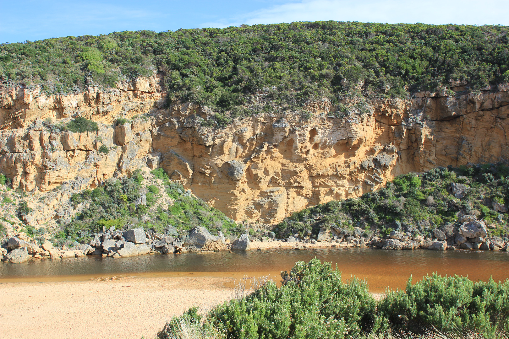
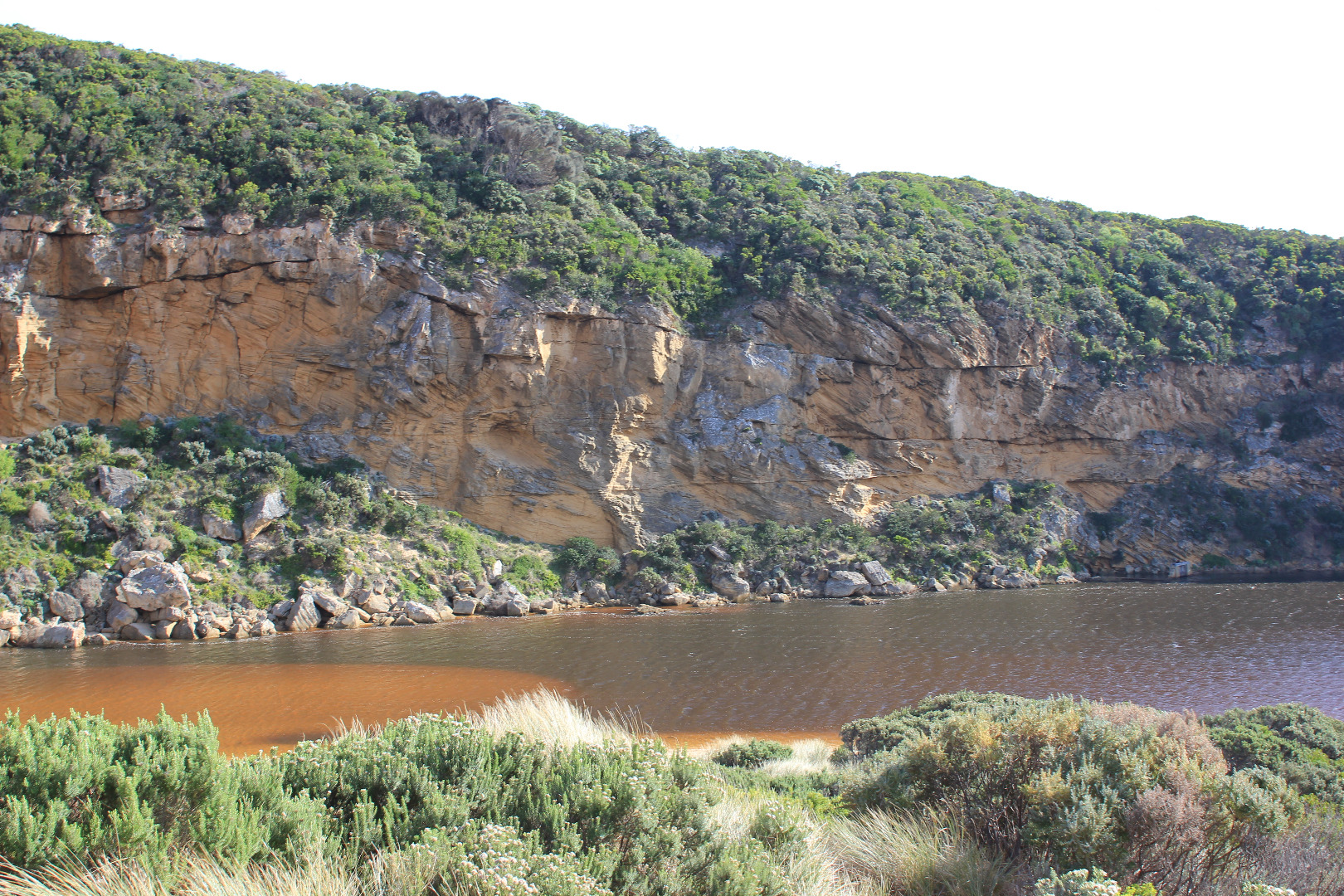
Dark discharge only along beach face for about 5m.then mainly turning out to sea - some very pale discharge along shore line to reef at east. Sea has been up over quite a large part of the beach & has brought more sand to entrance and created a high swash line in the estuary from waves entering at hi tide. Small waves currently entering channel & estuary despite strong N wind (4-5). Sandbar in estuary well exposed about 70 white Ibis & many silver gulls there at 12:15 Water in estuary very red colour with red silt(?) in swash line, water is also red around G2. Many small fish active in shallow water at side of low track Latrobe wetlands -lower water level but great increase in algae ! dead eel on sand at start of channel. Still thousands of Millepedes |
|
| #10987 | 13 Mar 2017 | Approved |
Notes:
Out flow reducing, only running along side high sheer beach face for a short distance then out south.Sand bar at mouth has increased also sand from east forcing flow between these areas. Waves from SE swell are crossing the sand bar & small waves trying to go upstream. The 2nd rock is just starting to appear. Sand bar in estuary is exposed & sand on S side of estuary extends far out . The high water has dropped significantly but the algal 'nets' that usually blanket the submerged stream side veg. are not evident, (but 2 very small contained pools along the low track do have these nets.) Some dead flathead gudgeons in these areas Throughout this event there have been thousands of millipedes in all areas -even the dunes at Gp1 |
|
| #10986 | 12 Mar 2017 | Approved |
Notes:
Sluggish dark brown outflow around mouth. Channel is against cliff but flow turns sharply east along beach face till it meets sand buildup from east a short distance from actual entrance & turns out to sea. A small sand bar continues to build up across the front of entrance from the cliff forcing the outflow to turn sharply between both areas.(about 4m. wide). Some waves from SW swell crossing over the small sandbar into the out flow the occasional one going up stream. Long shore drift also active Many small fish around start of channel from estuary. ! dead Black Bream (stranded) |
|
| #10985 | 11 Mar 2017 | Approved |
Notes:
Dark discharge out around mouth & along beach face to east end & also out to sea at end of new sandbar forming about 30- 40m out from mouth, also a 2nd. small bar seems to be forming from cliff across entrance Out flow wider & deeper but being held higher in curve at 'rocks'(only 1 uncovered) after which it turns toward east with sides up to about 2m. Beach curved high at E end & projecting out to sea at mid beach Red sediment/algae?& iridescent slick on water surface S/E & E side of estuary.Water flowing along west bank(G2) from Latrobe creek contains fish with open mouths at surface but large amount of small fish activity along shallow water at side of low track- 1 dead Silver Trevally at start of estuary/channel Water nearly drained from all areas up stream |
|
| #10984 | 10 Mar 2017 | Approved |
Notes:
Very strong outflow with high waves going downstream. Channel wider & deeper sheer side of channel 1.60m. Dark discharge E along beach face but also diagonally out to sea behind breakers. Strong backwash, rip & long shore drift at entrance,. Only rock closest to cliff starting to be exposed. Beach highest at east end dropping down to mouth, projection remains. Despite strong out flow water level has not dropped in estuary. 1 dead Flathead FOUND NEAR START OF CHANNEL |
|
| #10983 | 9 Mar 2017 | Approved |
Notes:
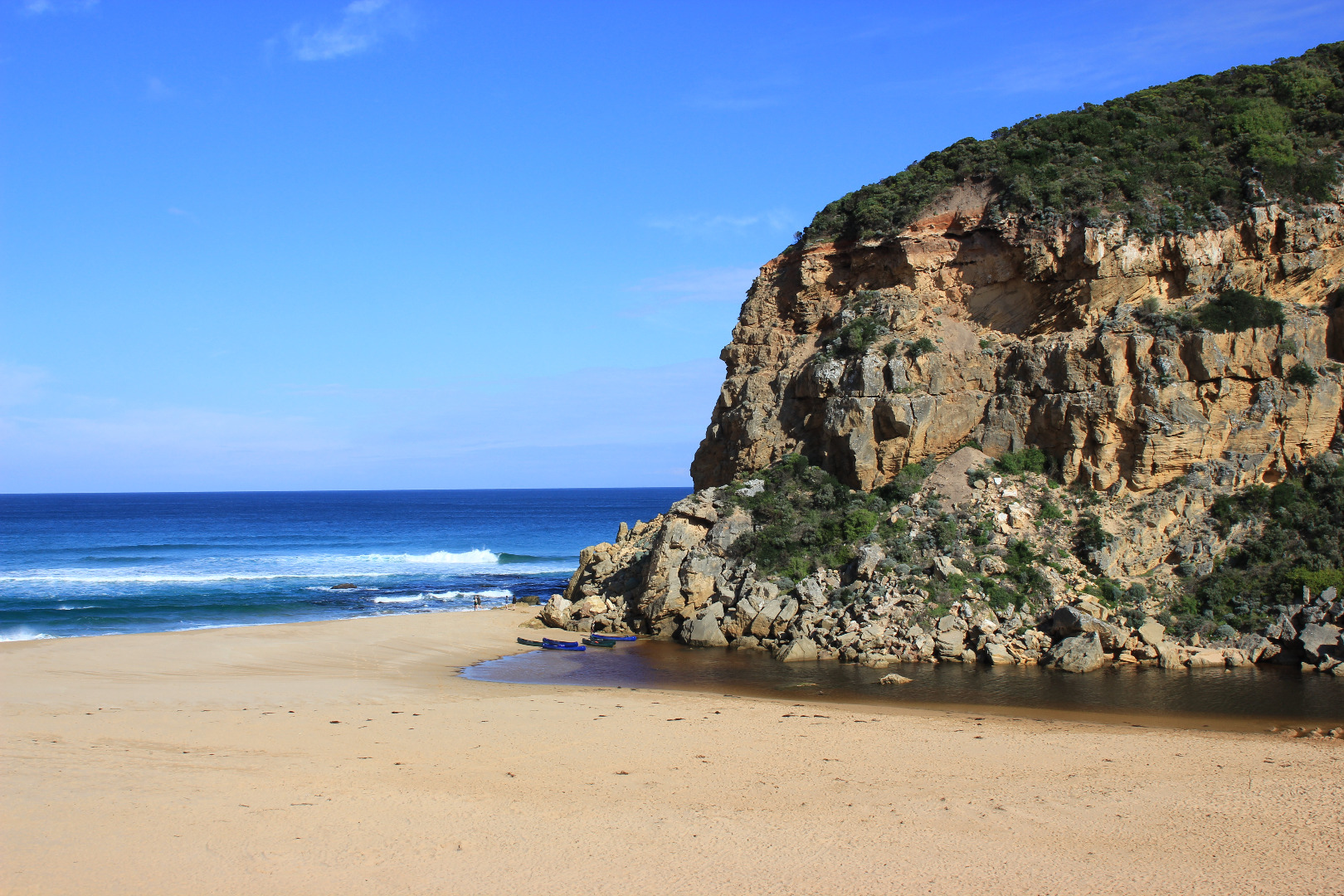
Natural opening occurred late 08/3/17 - planned Artificial Opening for 09/3/17 was not required. Mouth opened against the cliff after sweeping around in a wide shallow curve with a sheer east side of about10-60cm.The actual opening was very narrow with the projection V shaped pointing toward the cliff, the flow then turned S/E against through the berm (about 85 cm. high), the out flow was shallow & gradually turned sharply to east along beach face during the day. The restricted area of the channel was much closer to the sea than the usual restriction of the rocks that normally hold back the flow. Beach was highest at east end with sand projecting out to sea mid beach then slopping down to entrance where the berm rises higher Fish were gasping at the surface at G2 but further down in the estuary along E & S side were swimming downstream to entrance. 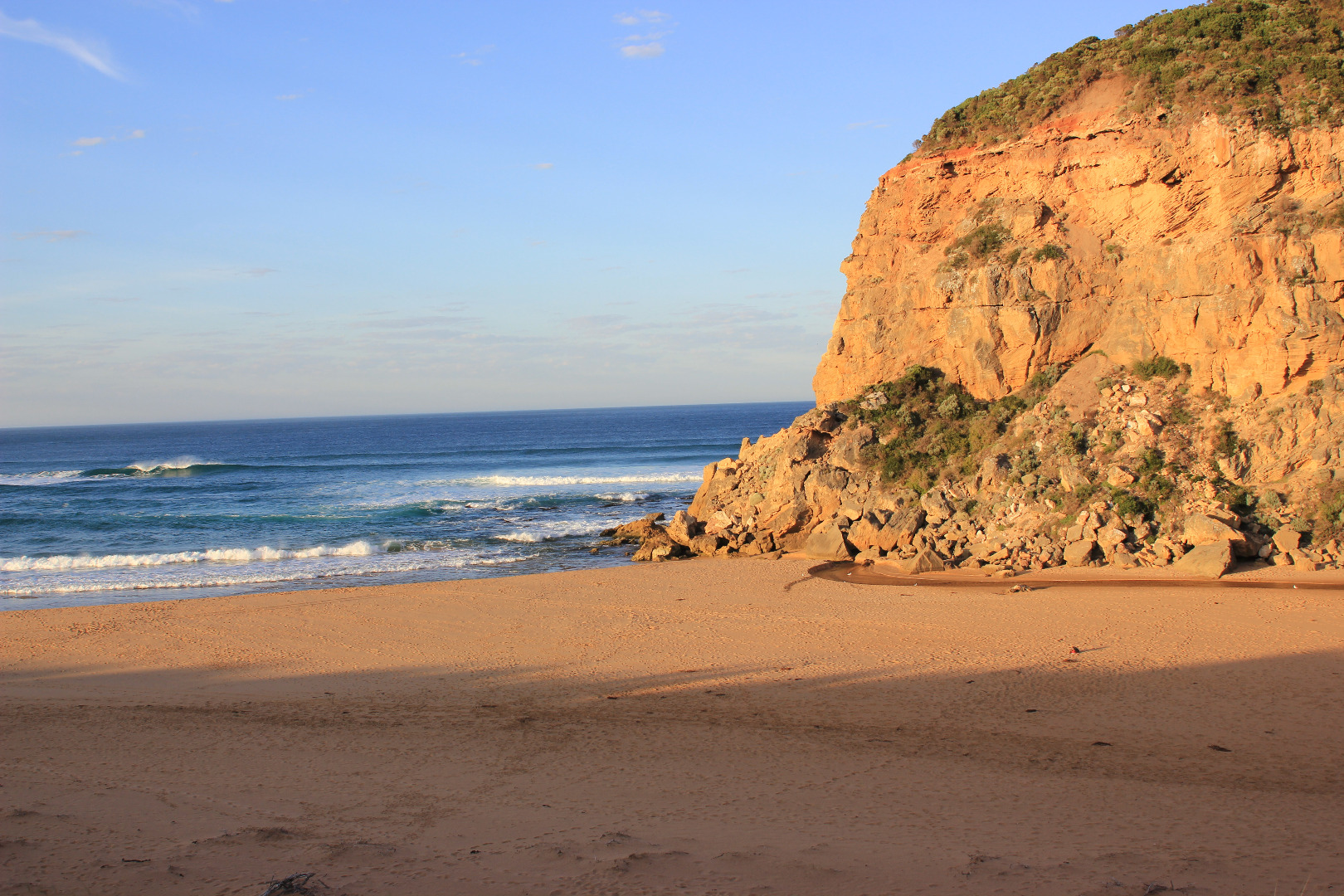 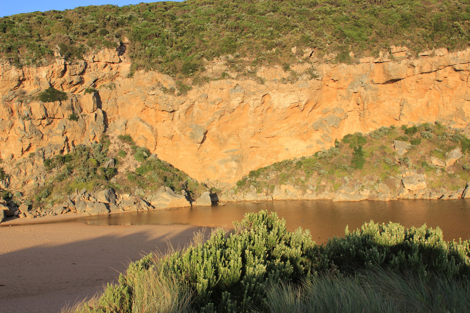 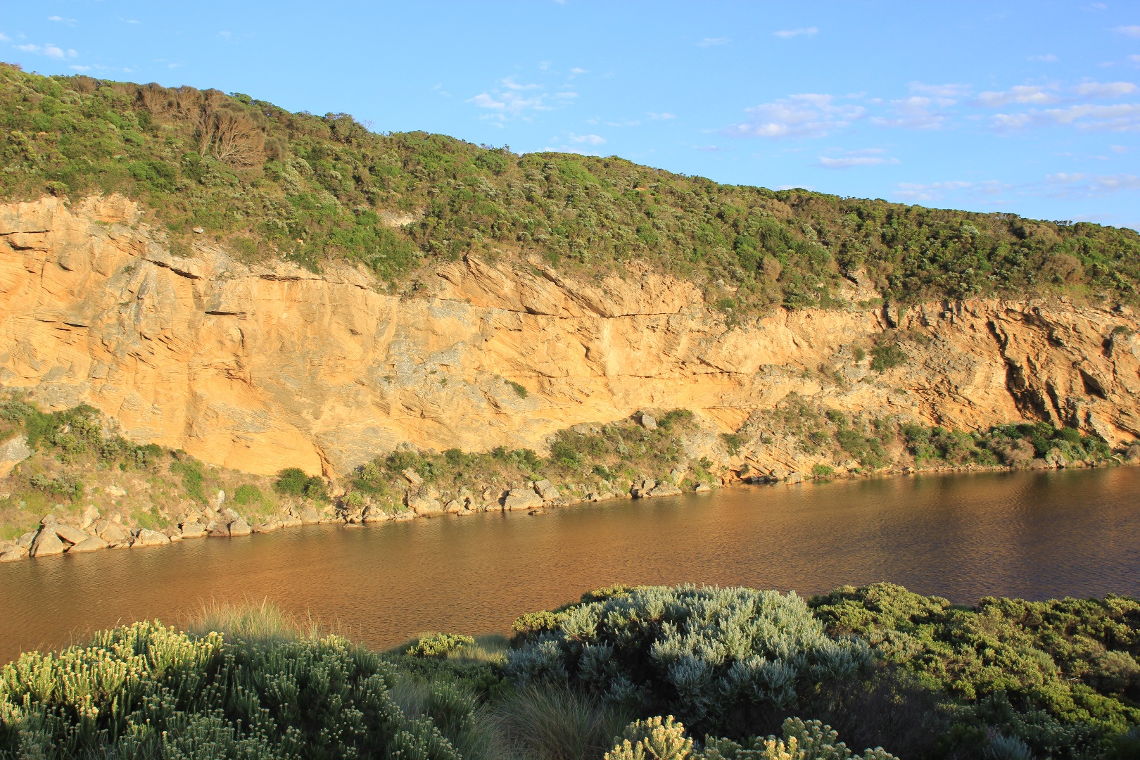 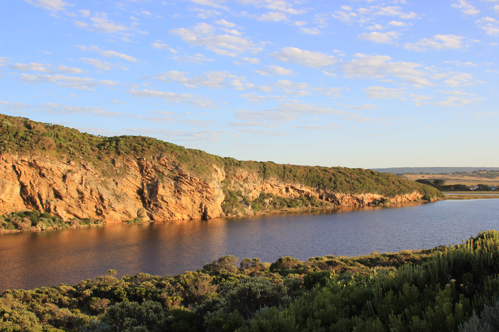 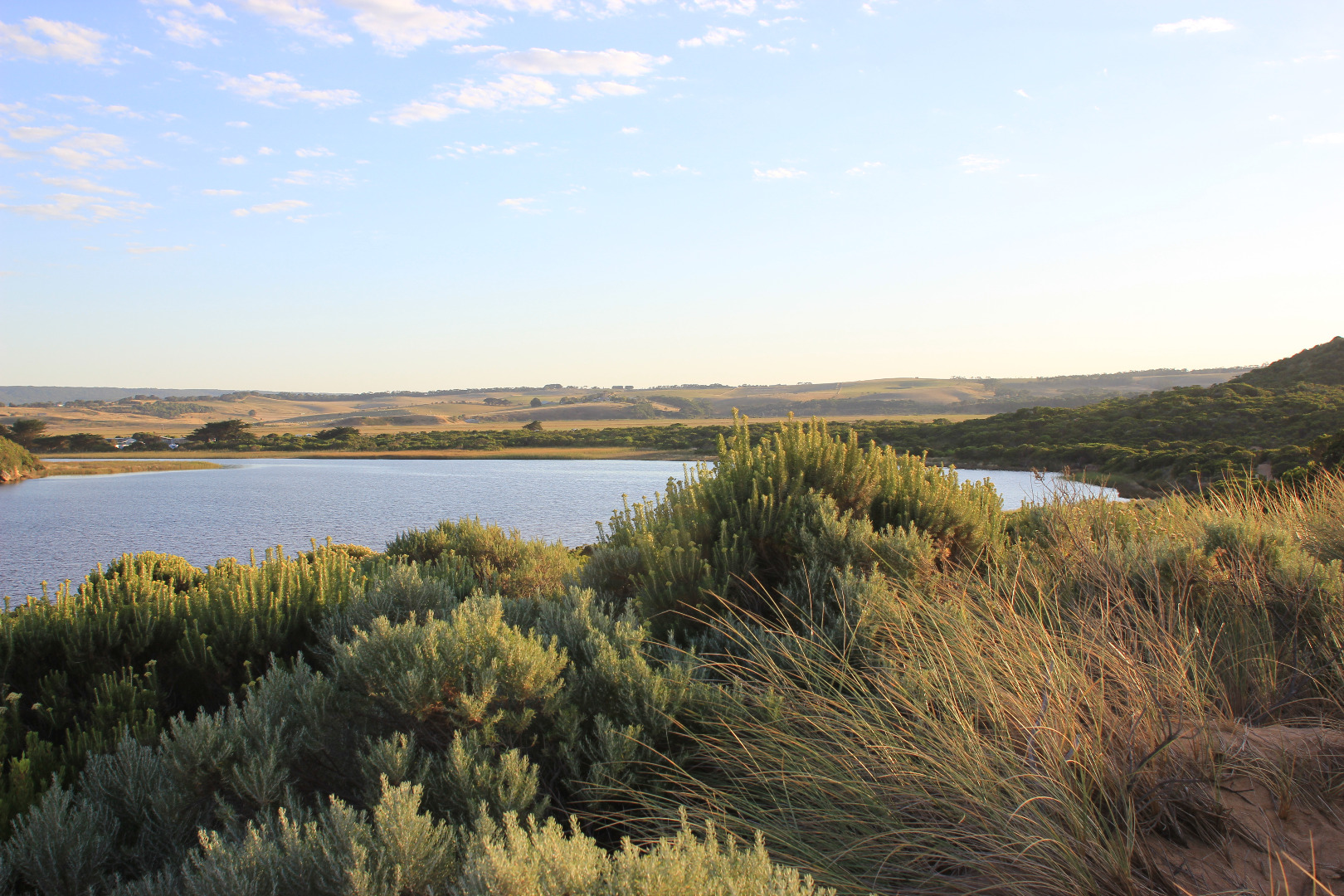 |
|
| #10981 | 1 Mar 2017 | Approved |
Notes:
Mouth barred but rise in water level has brought estuary closer to sea. Berm is quite low near swash line. Waves have been over the front & travelled about 1/2 way up to the estuary at last hi tide. Long shore drift active across in front of mouth. Sea was moderate but an occasional strong wave surge was going over berm further east Observations were taken near low tide & waves too dynamic to get accurate berm height at ocean side Ocean beach has 2 horseshoe areas, highest at east end where water has been up almost to sand dunes. Backwash has eroded the front in new formations. Between the 2 areas a high sand spit projects well out to sea Algae is forming over large areas of the wetlands especially Latrobe creek area. Water at G2 is very still with a film across the surface Many small fish active in shallow water along side low track, also many dragonflies -also large flock of Terns & silver gulls on ocean beach
|
|
| #10840 | 23 Feb 2017 | Approved |
Notes:
Wide berm formed - low separate berm at beach face, dropping lower before rising up higher near rocks & continuing higher up to estuary Attempted illegal opening Beach very high at east end, slightly lower at mid beach but dropping down around mouth. Large irregular high & low areas all along beach More erosion on south face of Pt. Ronald Large sand area visible under water extending into estuary from channel. Low track completely under water but no water on top track Flooding on flats upstream from Princetown township to G4. Rivernook flats under water & through causeway. Water has filled wide drain at west end of property upstream G4 but no visible water beyond that Princetown Wetlands now have water cover |
|
| #10819 | 18 Feb 2017 | Approved |
Notes:
Only high waves from very rough sea entering over a very wide area, slight salt return against cliff. Long shore drift very strong across mouth. Very large amount of sand visible in breakers directly out from mouth Waves are over topping steep high beach face & continuing up toward dunes in some areas, water from the impact at east end is flowing back behind higher beach face & travelling down west entering around rocks & into channel Very large no. small fish, all shapes & sizes in shallow water along south & east sides of the estuary |
|
| #10818 | 17 Feb 2017 | Approved |
Notes:
Dark discharge only around mouth, flow between rocks & cliff face (low tide). Recent release (AHD 0.70 20170216) & very low tide causing strong shallow outflow with large close spaced waves immediately downstream rocks Strong long shore drift across outflow impacting on cliff Swash line very high up on beach Beach high toward east end but lower near mouth Large no. small fish in shallows along low track Princetown N wetlands draining but many birds observed feeding 12 Sliver gulls, 18 Masked plover, 4 Royal spoonbills, 2 with pale bills, 26 White headed Herons |
|
| #10809 | 13 Feb 2017 | Approved |
Notes:
Intermittent high waves entering across a wide area over high sand build up at mouth & along channel. Very slight shallow salt return against cliff face. Long shore drift active Sand is higher at east end of beach & has been height has been reduced closer to mouth. Waves have travelled high up on beach, some turning west to ward channel & mouth Cliff face erosion continues in areas near mouth 2 dead Penguins in swash line on Ocean beach |
|
| #10781 | 3 Feb 2017 | Approved |
Notes:
Pale discharge out around mouth & slightly to east Channel very shallow - flow out over increased sand build up at mouth. Long shore drift across mouth over shallow out flow & rolling more sand into deeper areas. Large amount of sand visible in breakers directly out from mouth Extremely large no. small fish in shallow water alongside low track & many more along south side of estuary Sand bar partly exposed |
|
| #10765 | 27 Jan 2017 | Approved |
Notes:
Pale discharge out along beach face to east, then turning out to sea well before rocks at east end Beach face irregular, sand highest near mouth, mid beach & east end. Sand has increased at mouth & in channel Long shore drift across mouth with occasional waves entering into channel. Sea has been well up on beach & turning, travelling west to mouth & channel Rock falls & erosion continues at south face of Pt. Ronald Algae & unusual dried white scum on stream side veg Some small fish & crabs in shallow water beside low track close to car park, Flathead Gudgeons remain in cut off tidal pool Large no. people on beach & around estuary. March flies in large nos. |
|


All content, files, data and images provided by the EstuaryWatch Data Portal and Gallery are subject to a Creative Commons Attribution License
Content is made available to be used in any way, and should always attribute EstuaryWatch and www.estuarywatch.org.au