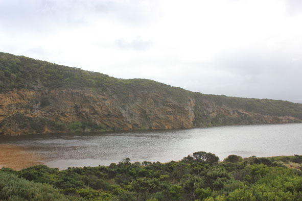
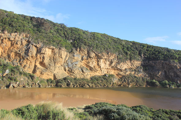
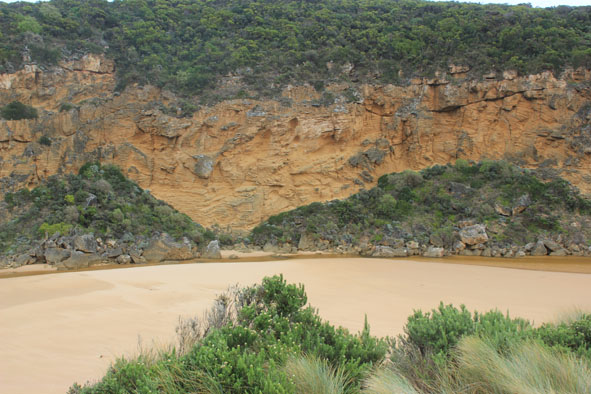
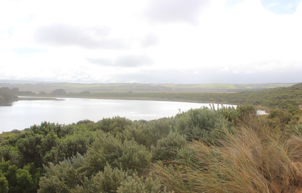
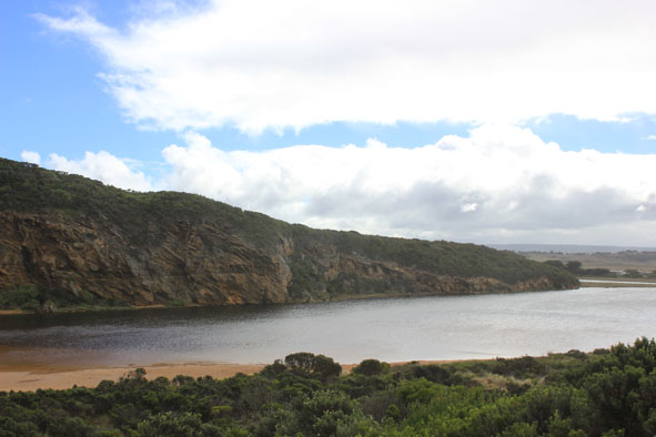
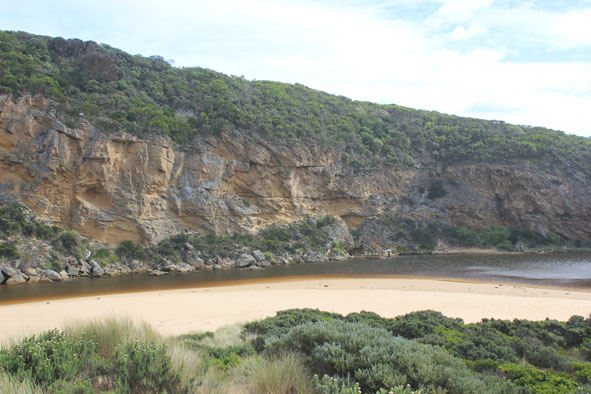
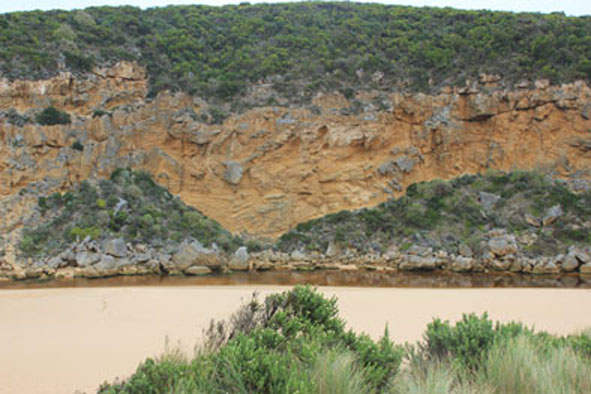
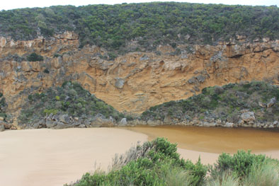
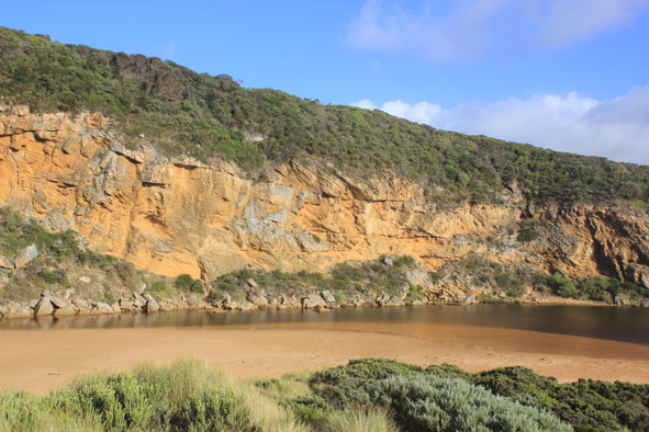
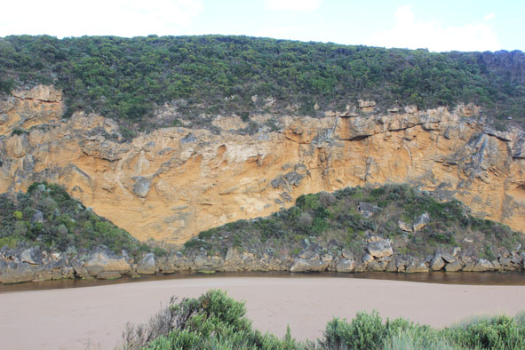
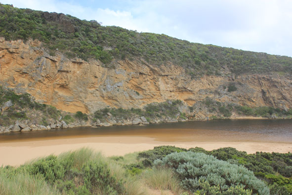
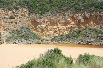
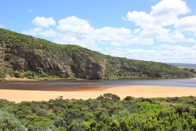
| #9616
|
15 May 2015
|
Approved |
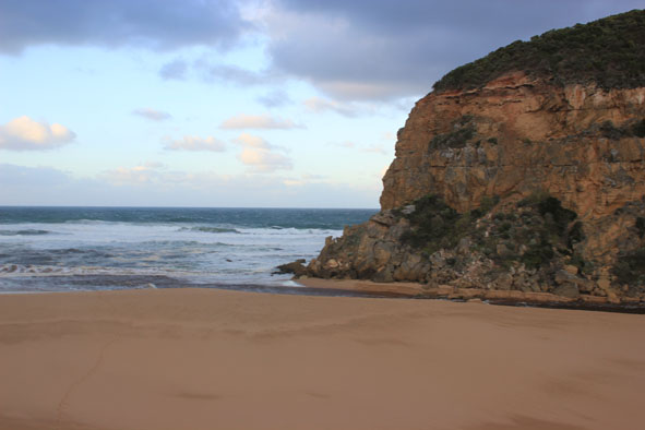
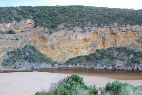
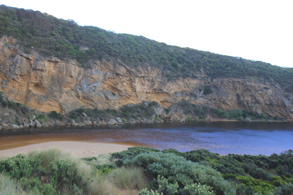
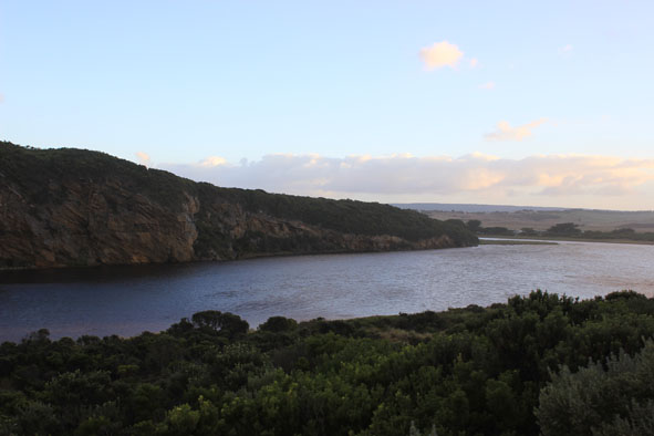
Notes:
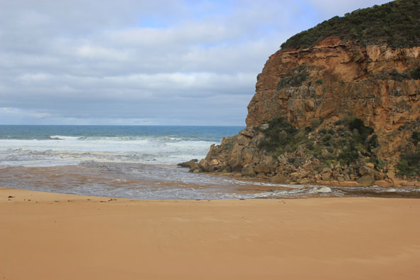
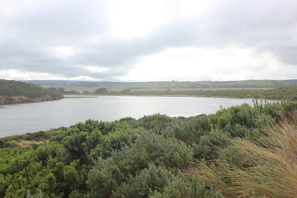
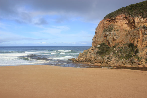
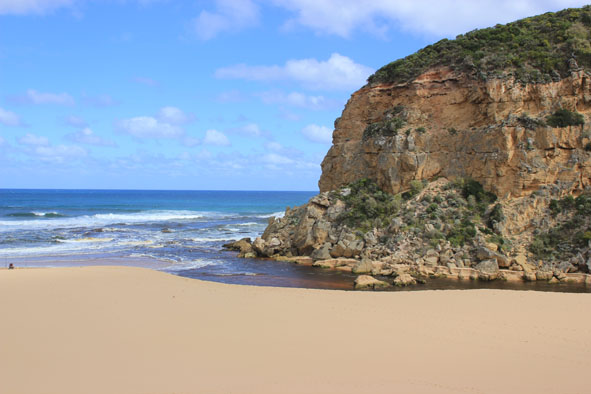
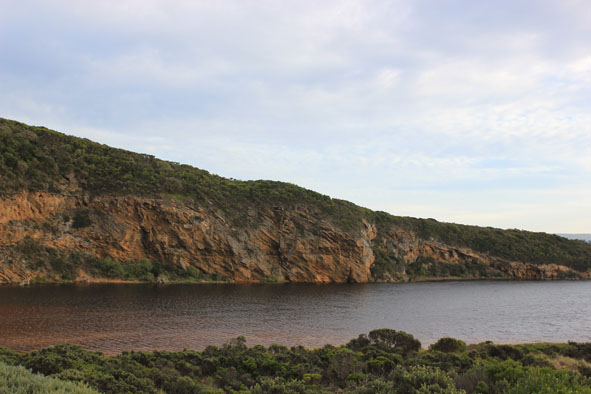
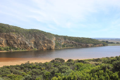
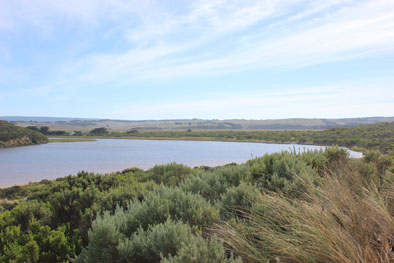
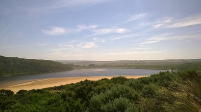
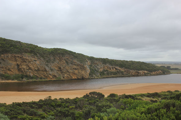
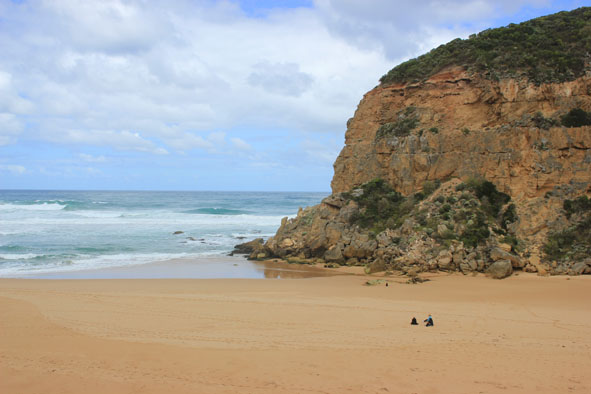
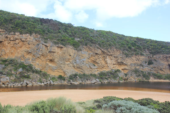
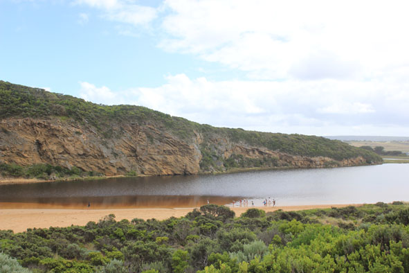
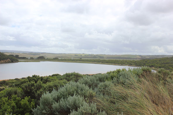
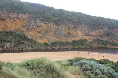
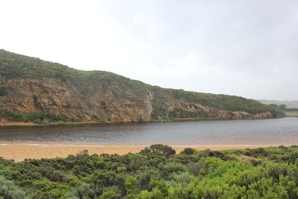
- Strong flow straight out to sea & also to east
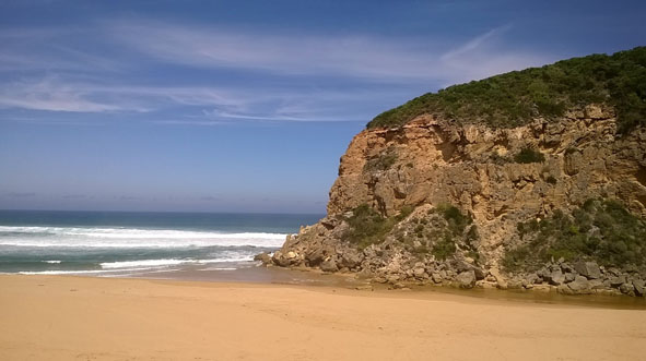
- Water being drawn out of estuary causing large waves to go upstream along channel (channel has steep sides -to .70m. high) , these waves start near the tunnel entrance in an area that has a large shallow water covered sand build up
- Water extremely turbid, sand swirls everywhere & long 'drag' lines are across sand where water has been drawn off
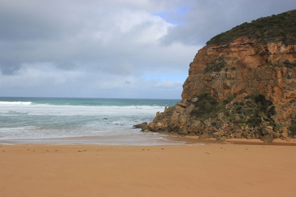
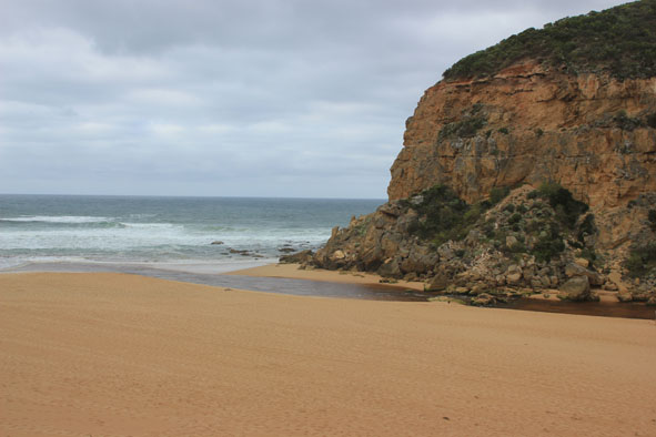
- Mouth wide, rough seas causing waves to surge over top of rocks
- East end of beach still being impacted by SW waves which have created a sheer sand cliff about 1-2m. high
- Very strong longshore drift & rip
- Strong flow downstream at G2 but waves also coming upstream toward bridge
- All areas remain flooded. OOR .80m. near flood markers @ 08:45
channel near boardwalk (also over boardwalk) where algae is starting to form
- Several Portuguese Man o' war along swash line on beach
- 2 large tiger snakes near G2 bridge
|
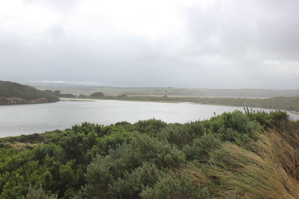
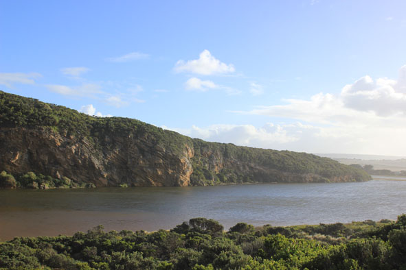
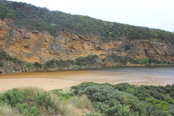
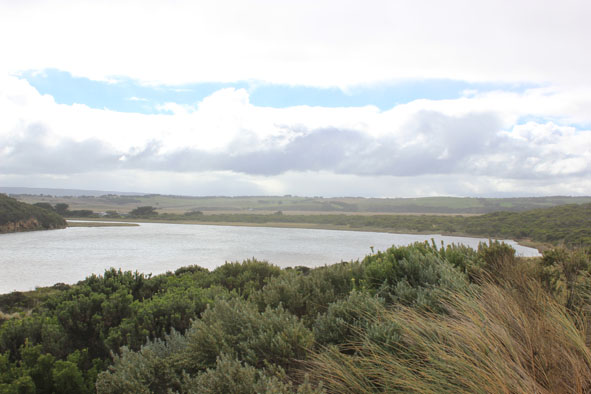
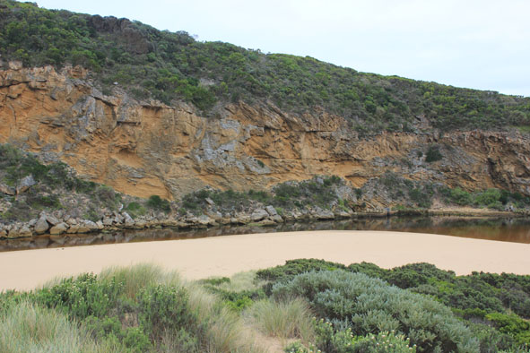
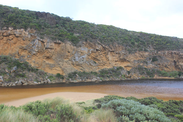
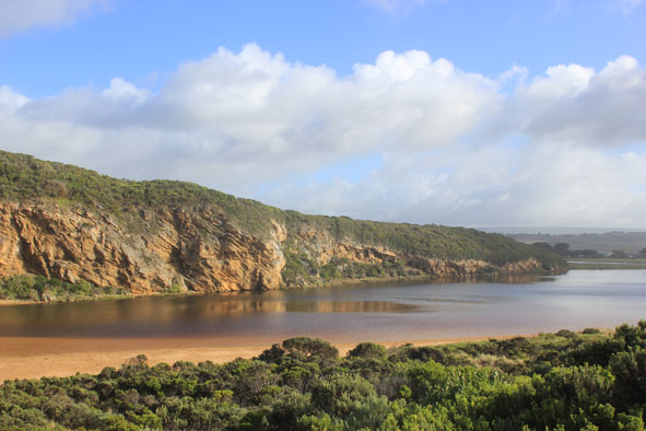
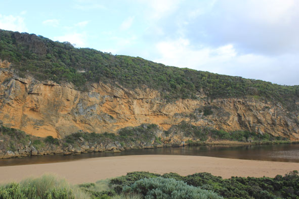
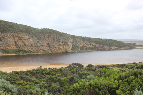
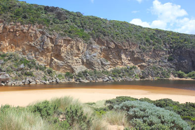
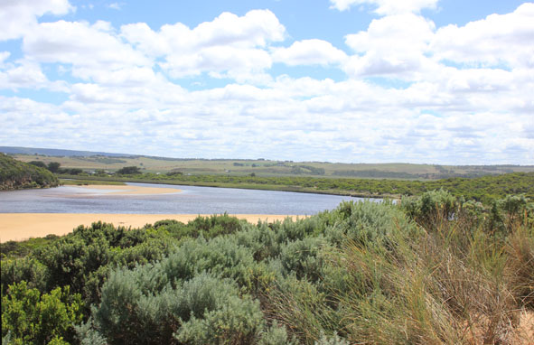
| #9615
|
14 May 2015
|
Approved |
Notes:
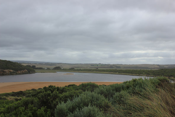
- Natural opening over night, very shallow entrance & channel only about 3-5m. between rocks & cliff
- Slight pale discharge only around mouth & slightly to east
- Very strong longshore drift across mouth
- Sand dunes (ocean beach) almost parallel to ocean & smoothed out by wind, beach very flat
- East end scouring out from strong wave surge
- Channel area being impacted by strong south wind blowing sand which is reaching into estuary
- All roads flooded. GOR closed (traffic lights)
- Boardwalk under water , deep water in camp ground, .80m. at flood markers OOR, Ocean Car park partially flooded. Water now on to bridge deck G4.
- Water level from rainfall at G6 dropping
|
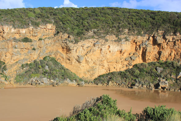
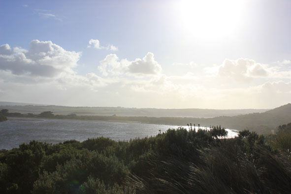
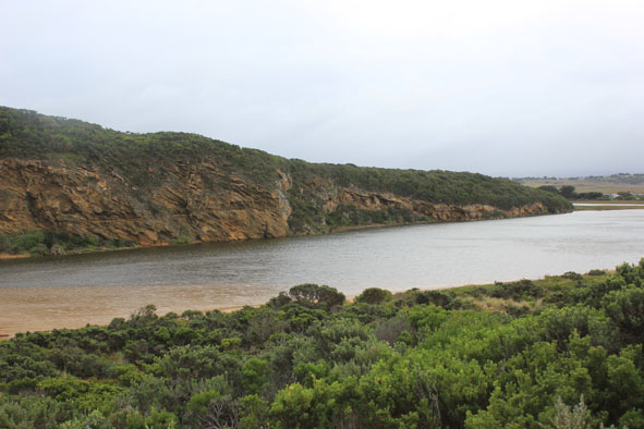
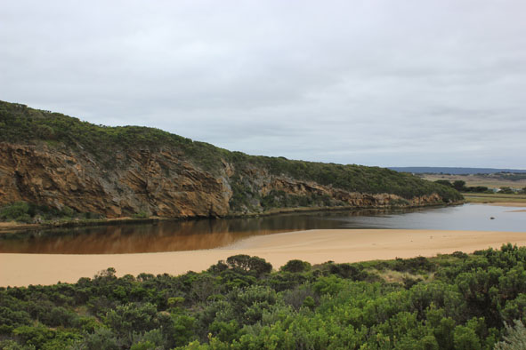
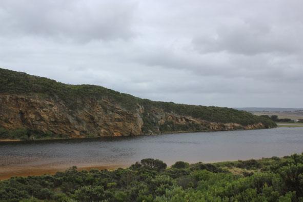
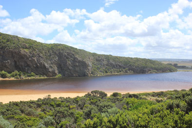
| #9614
|
13 May 2015
|
Approved |
Notes:
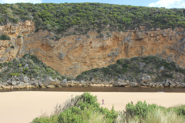
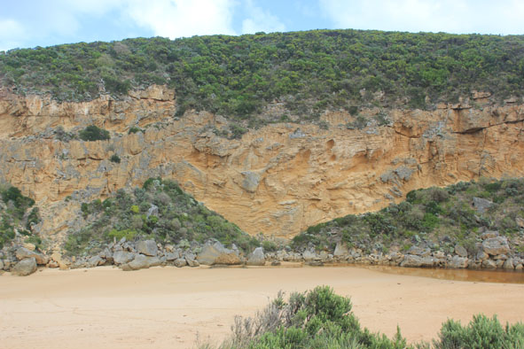
- Mouth perched occasional waves across v. wide area, some reaching estuary resulting in small return against cliff
- Dune below GP1 site has been cut away by high sea & strong winds
- Ocean beach very flat
- Previous high sand just east of mouth has been moved toward estuary, large sand build up under shallow water close to tunnel entrance in estuary
- All roads & camp ground flooded(.77cm at flood markers OOR). Water nearly across GOR
- Serious flooding along lower estuary but not upstream (Water about .40. from concrete deck at G4 & only runoff upstream G5)
|
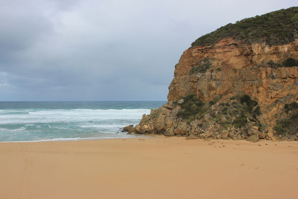
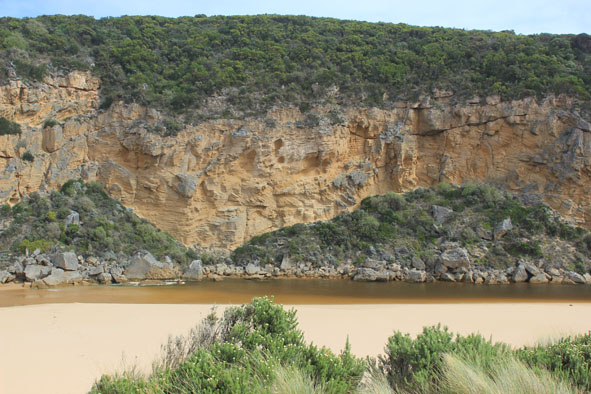
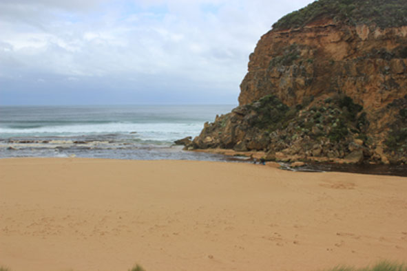
| #9610
|
9 May 2015
|
Approved |
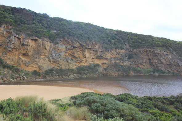
Notes:
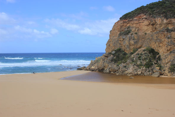
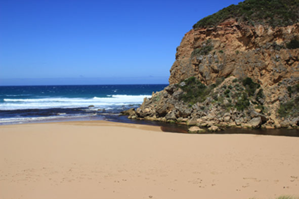
- Flow out through narrow shallow channel (about 2-3m wide) against cliff
- Large area of sand between rocks & sea
- Active longshore drift & rip, waves entering estuary
- Height of sand east of entrance has been reduced
- front of estuary more parallel to ocean
- Height of sand between front of estuary & ocean only slight
- Waves high up on beach & scouring out east end
- Wind from north flattening out waves
|
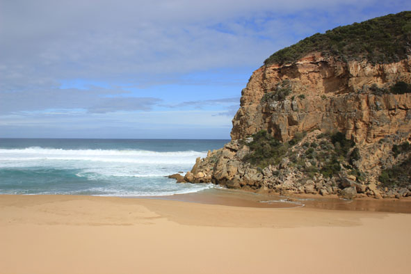
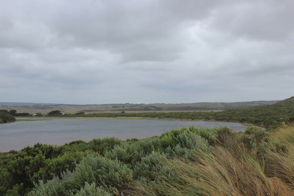
| #9654
|
6 May 2015
|
Approved |
|
| #9598
|
3 May 2015
|
Approved |
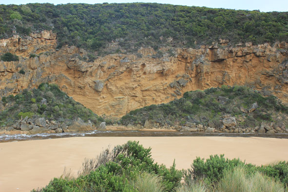
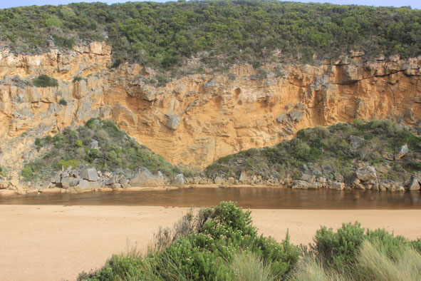
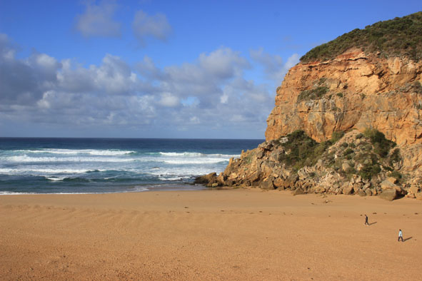
Notes:
- Mouth opened naturally on 01/05/15
- Entrance about 15-20m wide with water flowing out through cataract between rocks & cliff
- Channel at entrance shallow, turning east as it widens & meets ocean
- Pale discharge along shore line to east, also to south.
- Waves entering channel, active longshore drift & outflow combine to create much turbulence
- Beach is straighter with raised north south undulations.
- Sand higher near mouth
|
| #9531
|
26 Apr 2015
|
Approved |
Notes:
- Mouth barred - no flow
- Previous swash mark indicates waves travelling up to ward estuary but not entering -have been into estuary during previous rough seas
- Sand build up just east of mouth not as high as last time. Rock still uncovered
- Wind in all directions around estuary but south at mouth blowing sand down channel into estuary
- rough sea with active longshore drift
|
| #9509
|
18 Apr 2015
|
Approved |
Notes:
- Mouth barred but waves over & up into the estuary
- Small area of salt water (green) visible just upstream rocks
- Strong wave surge intermittently occurring at mouth
- Strong longshore drift & waves in all directions at entrance
|
| #9508
|
10 Apr 2015
|
Approved |
Notes:
- Flow out over shallow area, some discharge visible around mouth & slightly to east
- Occasional waves entering
- Large amount of sand has built up around mouth & upstream of rocks
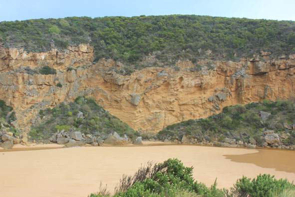
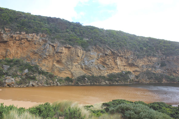
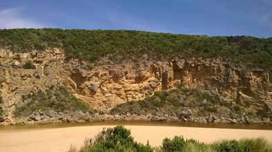
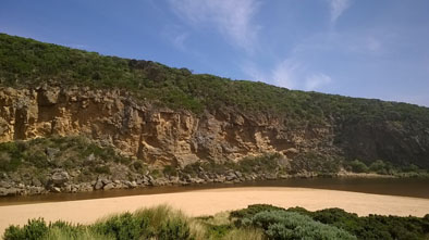
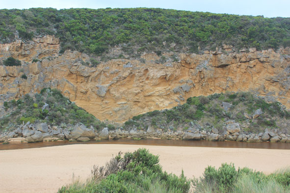
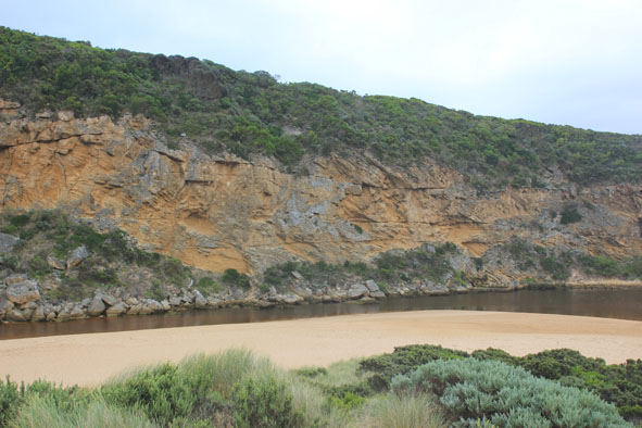
- Steep(to 40cm.) high sheer face to east side of channel about 8m. from waters edge
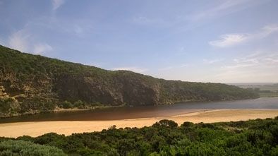
- Beach- horseshoe shaped with steep slope to ocean
- Slight longshore drift toward mouth but much stronger at east end of beach
- Sand bar well exposed ( very low water level)
- Large areas of seagrass becoming exposed, some covered by rotting algae especially in area near recent Phragmities establishment
- Very large no. millipedes throughout the area
|
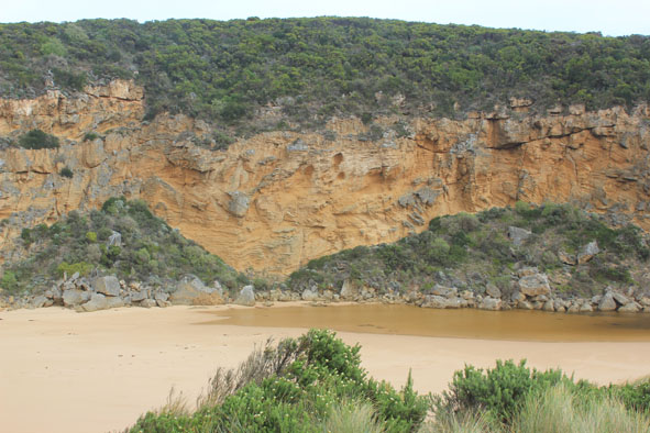
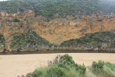
| #9498
|
3 Apr 2015
|
Approved |
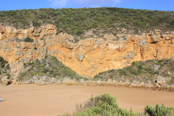
Notes:
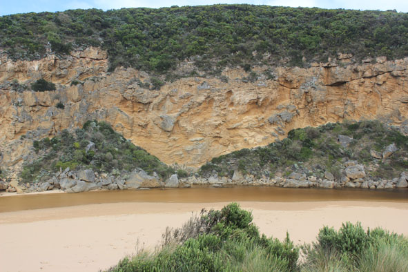
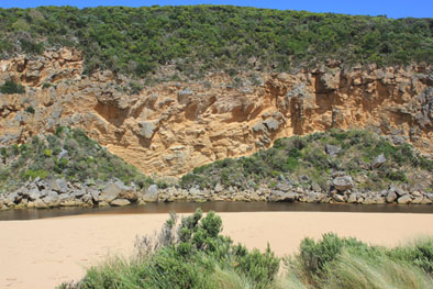
- River flowing out over shallow entrance about 20m. wide, dark discharge to east between foreshore & sandbar, some to west along cliff. Water in channel very reddish in colour
- Some waves entering channel up to rocks
- Very high sheer sides to channel reducing upstream
- Sand building up in front of rocks & across mouth
- Moderate sea but waves going high up on beach. -Strong longshore drift across entrance
- Eastern end of beach scoured out, beach has some high areas with small bays. High sand toward entrance
- Water gone from low track -no dead fish etc., but large no. small fish swimming near vegetation in shallow water
|
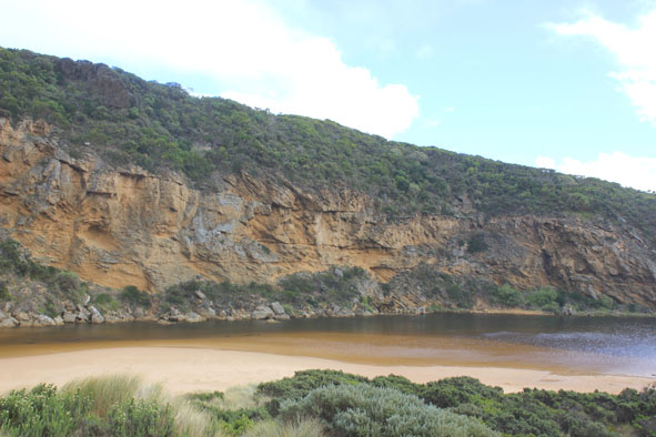
| #9497
|
2 Apr 2015
|
Approved |
Notes:
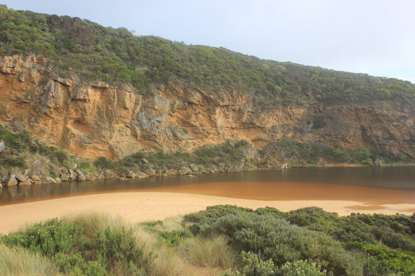
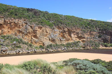
- Strong dark flow from mouth (about 15m wide) then to east along shoreline
- Out flow cascading down cataract between rocks & cliff face
- Very strong longshore drift meeting waves from south mixing with strong outflow creating whirlpools around rocks & upstream. Also waves entering causing more whirlpools further upstream
- Sheer sides cut to the channel -over 3m. at entrance receding as progresses upstream
0, then flowing to east along shoreline
|
| #9493
|
1 Apr 2015
|
Approved |
Notes:
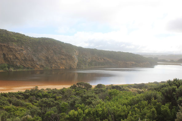
- Permit opening undertaken & completed 09:30
- Estuary closer to sea, & wider across the front -Waves have been up into estuary during the night
- Berm front has gradual slope to sea, it is lower near cliff
- Beach is undulating & starting to form 2 curves
|
| #9475
|
31 Mar 2015
|
Approved |
Notes:
- Mouth barred but waves over front of berm
- Estuary at start of berm is wider & closer to sea
- Large no. small fish (1-3cm.) swimming in shallow water amongst vegetation at start of low track
- Water starting to enter camping ground
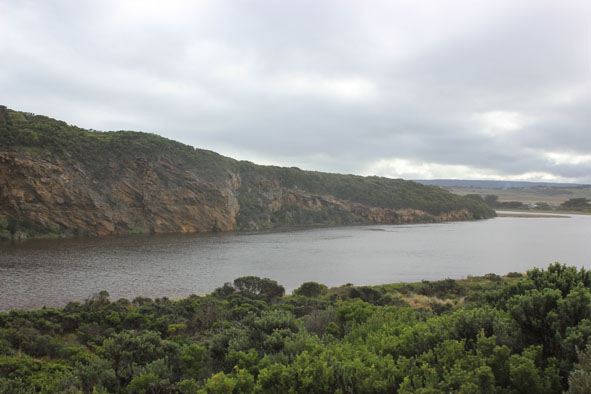
- Extensive flooding around G4 & south side of river to G5. Water over bank between G5&G4 & at drain close to G4 on north side.
- Bitterns calling near flood markers (OOR) as water rises & starts to go over road(OOR) - small crayfish in water at side of road
|
| #9472
|
27 Mar 2015
|
Approved |
Notes:
- Mouth barred but occasional waves have been over reaching the estuary at hi tide with V.rough sea
- Berm now has gentle slope down to sea. Beach horseshoe shaped, lower at east end
- Sand higher near mouth
- Rocks in channel now completely covered by sand
- Estuary front where it meets berm is wider
- S.W. waves at east end are turning back travelling toward mouth
- Wind blowing sand into estuary
- No water over OCR but to the edge of OOR at flood markers
|
| #9456
|
20 Mar 2015
|
Approved |
Notes:
- Mouth closed but some waves are going over front of berm but not reaching the estuary
- Front of berm very steep to sea but drops behind this near rocks then rises up again to estuary
- No flooding on any roads but low track is totally under water
|
| #9443
|
14 Mar 2015
|
Approved |
Notes:
- No flow mouth barred but waves have been over berm close to cliff at last hi tide
- Beach still horseshoe shape with high sloping front to ocean but becoming undulated
- Sand high at east end of beach & also about 20 m. from cliff at west end
- Bar slopes down toward cliff at mouth where waves have been entering up to the start of the river (undisturbed sand with ripple/ current patterns observed)
- Dead tommy rough found at start of estuary.
- Dead Shearwater (very thin) on beach near mouth
- Algae formed in sheltered areas of estuary along low track
|
| #9441
|
9 Mar 2015
|
Approved |
Notes:
-Mouth barred (about 06/03/15) but some waves over berm around mouth entering up to the river at last high tide/rough sea
|
| #9427
|
1 Mar 2015
|
Approved |
Notes:
- Flow out, narrow & shallow, slight discharge to east
- Sand has built up around mouth but mainly in front of rocks, previous height directly east is now smoothed out in some areas
- High sand build up at east end of beach
- Hundreds of millipedes on sand south side of estuary
- Large unidentified moth found
|
| #9409
|
20 Feb 2015
|
Approved |
Notes:
- Waves entering causing strong inflow
- Mouth & channel shallow
- one dead fish
- washed up seagrass along the estuary
|
| #9400
|
8 Feb 2015
|
Approved |
Notes:
- Mouth opened naturally (?) sometime 06/02/15.
- Flow out - dark discharge along foreshore to east
- Strong longshore drift towards & across mouth
- Sand remains along west side of channel (against cliff)
- Sand remains high on beach just east of mouth
|
| #9398
|
4 Feb 2015
|
Approved |
Notes:
- Mouth appears to be closed but a slight flow of water is travelling under rocks & out to sea against the west cliff
- Front of estuary is very wide & shallow , channel is also shallow
- High sand build up on beach Just east of mouth
- Front of berm has been washed away but remains about 0.50m above sea level. The dip at middle of berm between sea & estuary remains
|
| #9364
|
29 Jan 2015
|
Approved |
Notes:
- River barred but signs of waves over berm on a wide front at last hi-tide
- observations taken at very low tide with moderate conditions
- Berm is higher & longer, 88m from swash line to river, more sand cover over rocks
- At about 40m from sea to the river there is a low depression in berm
- Water level in estuary rising, small fish noted swimming in clear areas between vegetation along low track
|
| #9346
|
26 Jan 2015
|
Approved |
Notes:
- Mouth barred 24.01.15 (rough seas ongoing from 23.01.15)
- Waves over berm & into estuary at high tide. Squid carapaces in swash line
- berm height measurement from ocean side not undertaken because of intermittent wave surge
well exposed
- Water level higher in estuary, low track partially under water. Some of these areas have large amounts of scum & algae floating on the surface
- Snipe noted on property above G5
|
| #9339
|
16 Jan 2015
|
Approved |
Notes:
- Dark discharge along foreshore to east
- Wind in all directions around Gp1, north wind flattening out the waves, & wind coming from s/e bringing blown sand into channel & across mouth
- Longshore drift active
- Water level low in estuary , sandbar exposed & low track mostly clear of water
- Drying skeins of algae (some rotten) cover some areas of vegetation where water has receded- a couple of very small dead fish in deep remaining pools smothered by rotting algae
- New sea grass (about (10cm.) actively growing near waters edge
- Many black cocatoos
|
| #9332
|
13 Jan 2015
|
Approved |
Notes:
- Mouth permit opening 12/01/16 4:00 pm
- Strong outflow with very dark discharge around mouth, along shore line to east then out to sea.
- Out flow along channel passing over cataract between rocks & cliff
- Sheer sides to channel(1.50m) at highest point near rocks, after that the height decreases & swings slightly to east
- Despite strong outflow some waves are entering & longshore drift is moving across area to cliff face
- Sand build up remains downstream rocks against cliff
- Strong north wind raising waves across estuary, foam along south sand area
|