| #10094
|
16 Jan 2016
|
Approved |
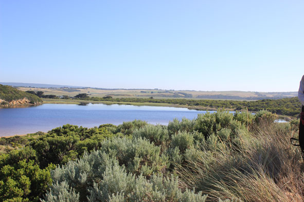
Notes:
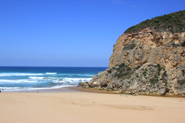
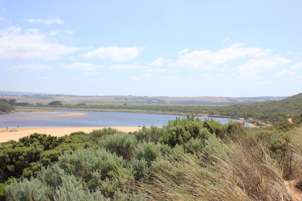
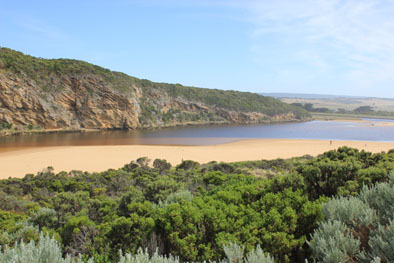
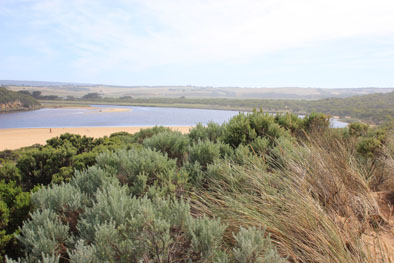
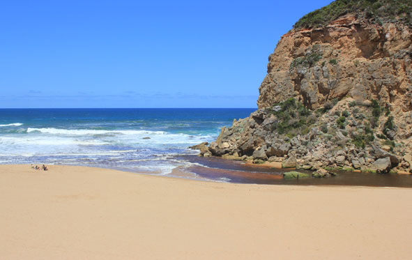
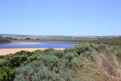
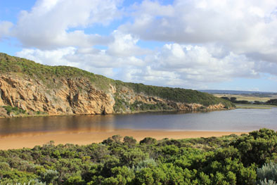
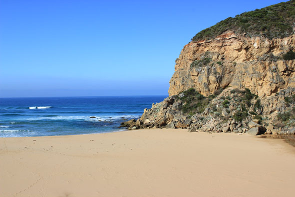
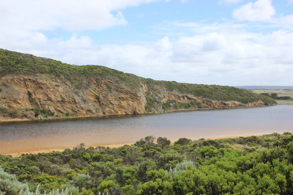
- Weak outflow across hi sand build up. Pale discharge only around mouth
- Increased sand build up at mouth & along channel
- Low tide -flow cutting steep side to channel (20cm. high
- Sand projection into ocean approx. 40m. from mouth has created 2 distinct horseshoe shapes along beach front
- Sand stir visible in breakers
- Last hi tide left swash line high up on beach & along channel
- Reef at eastern end of beach uncovered
- Pied cormorants 2 on sandbar which is well exposed
- Very large no. small fish in shallow water along side of low track
|
| #10056
|
10 Jan 2016
|
Approved |
Notes:
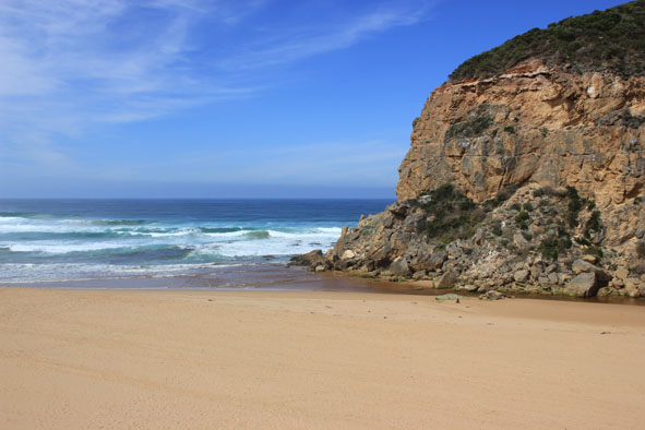
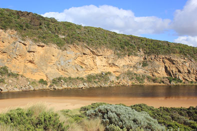
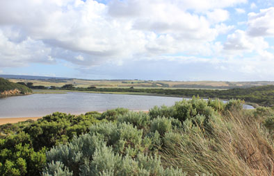
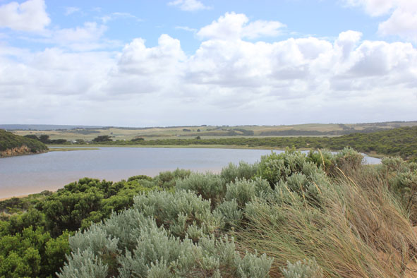
- Waves across a wide area of entrance at hi tide travelling into estuary
- Beach front high with gradual slope to ocean
- Longshore drift across mouth
- Entrance & channel has more sand, sand stir visible in breakers out to sea
- Silver gulls continue to feed on Leucopogon berries
- Much rotten veg along east side of estuary
|
| #10054
|
6 Jan 2016
|
Approved |
Notes:
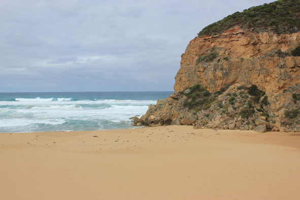
- Slight pale discharge out to east -about 30m.
- Mouth & channel very shallow
- Waves entering strongly over outflow
- Longshore drift across entrance
- Beach front high & sloping
- Over 50 Silver gulls along exposed seagrass area, also eating Leucopogon berries
- 4 pelicans feeding in deeper water near sandbar
- Phragmities extending further into water & along side of low track
- Cold wind from SE
|
| #10045
|
1 Jan 2016
|
Approved |
Notes:
- Slight outflow over increasing sand build up between rocks & sea
- Cold S wind after 39C. on 31.12.15
- Longshore drift active across entrance/ outflow, waves in all directions at mouth,
- Flow only between rocks & cliff
- Many small fish (different shapes & sizes) in area S/E side of estuary (also some larger sized Bream/Estuary Perch 5 )
- Many bright blue dragon flies amongst streamside vegetation
|
| #10040
|
28 Dec 2015
|
Approved |
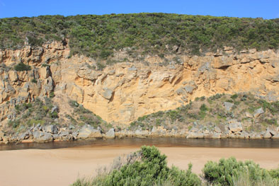
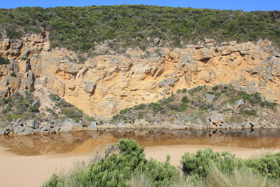
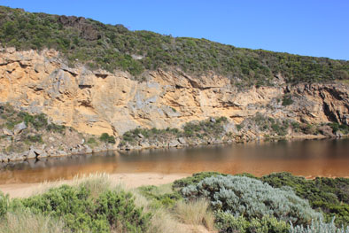
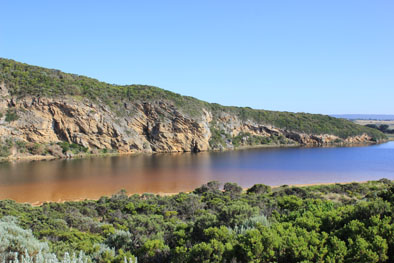
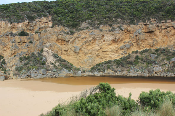
Notes:
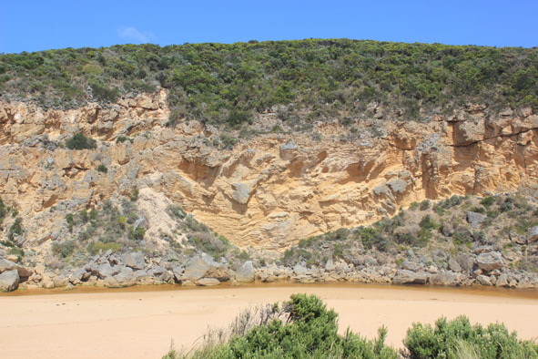
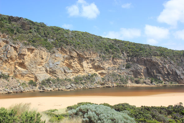
- Dark discharge out around mouth, to east along shoreline, South & west
_ High tide well up on beach -indicated by dark sediment along swash line
- Flow in channel cut steep sides near mouth (1.5m )
- Sand build up between sea & rocks, flow on both sides but main channel close to cliff
- Sandbar in estuary well exposed -Silver gulls, ibis & 4 pelicans feeding along channel against cliff
- Dead Albatross in swash line south side of estuary (one leg removed - possibly band taken) Wing span over 2.5m.
- Drying algae 'blankets' over some stream side veg.
- Shrimp have been caught in this
- 1 dead eel
- Seagrass growing profusely along east side of estuary has been uncovered by drop in water level
- extreme variation in tide levels for past few days
|
| #10034
|
27 Dec 2015
|
Approved |
Notes:
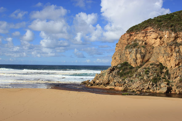
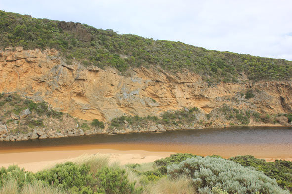
- Strong dark outflow around mouth, to SW, S & east along foreshore
- Flow has cut sheer side to channel at mouth (1-2m) which is collapsing into flow
- Both rocks well exposed but main volume of water is on east side over cascade, sand build up immediately d/s rocks
- Strong longshore drift across mouth crossing out flow & turning into channel & up into estuary
- Waves in all directions at mouth
- Waves have been high up on beach & over remaining part of berm (dark swash line)
- Beach has gradual steep slope-highest near mouth
- No water in campground. Dip in causeway G4 is clear of water
|
| #10032
|
26 Dec 2015
|
Approved |
Notes:
- Waves have been over unopened berm at last hi tide (indicated by swash line & debris)
- Small rocks continue to fall from cliff
- Top of one of the rocks still visible
- Mouth artificially opened 10:05
- 10:55 channel 2-3m wide , west edge .40m high
- Waves entering opening, travelling upstream about 30m
- 11:00 Increase in out flow but affected by longshore drift across mouth
- Very strong south wind gusts
- 38ml rain at G6 overnight
- water only at side of OOR, no water on OCR, water in camp ground & more along top track
- Gannet travelling west along shore line
|
| #10031
|
24 Dec 2015
|
Approved |
Notes:
- mouth barred
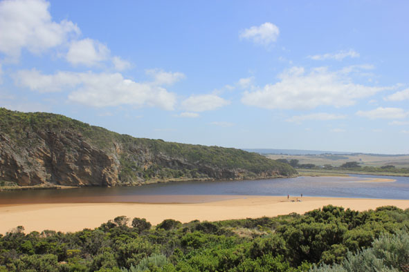
- Length of berm reduced to 33.6m . Steep front to ocean
- Beach curved -projection near mid beach reduced
- Slight longshore drift across to cliff
- Sand stir in water close to shore and extending out to sea about 50m (between beach & sand bar)
- Water over in small patches on top track but no water over OCR or in camp. ground
- Water to edge of OOR near flood markers
- D.O. levels in salt wedge very low
- 'Skeins' on surface of water.
|
| #10020
|
16 Dec 2015
|
Approved |
Notes:
- Mouth barred no waves over
- Beach very wide with steep slope. Horseshoe shaped with increased projection 1/3rd from entrance
- Water to edge of top track in lowest area. No water over any roads or in camp. ground
- berm length 51.9m
|
| #9988
|
12 Dec 2015
|
Approved |
Notes:
- Mouth barred but waves over at hi tide (1.17) & rough sea
- Waves over berm & have travelled west along beach to river. This area is very wet & soft
- Sand on beach projecting out to sea about 1/3rd east of cliff where erosion continues
- Water in estuary higher but no water over roads (to edge of road at flood markers OOR) Only low track has deep water
|