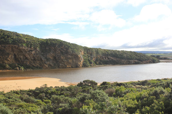
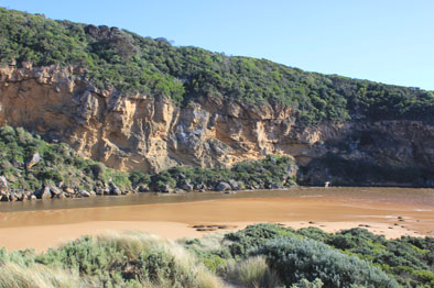
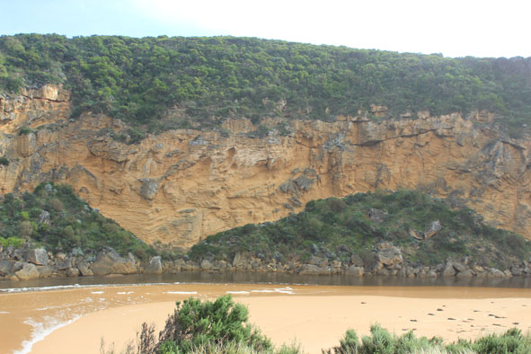
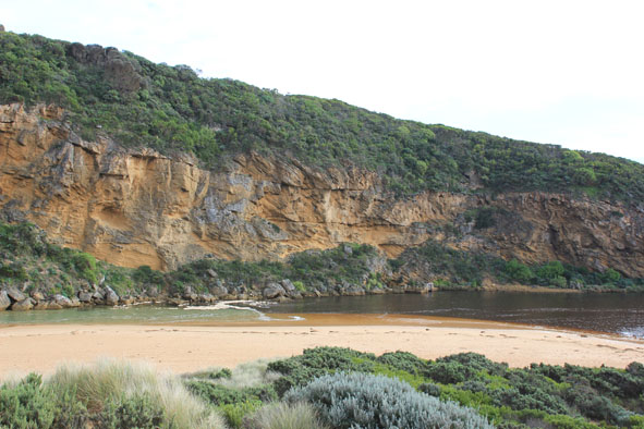
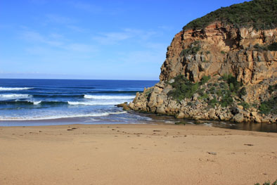
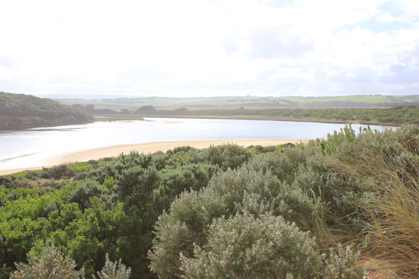
| #9015
|
19 Jul 2014
|
Approved |
Notes:
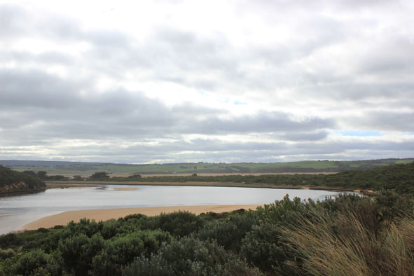
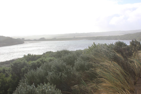
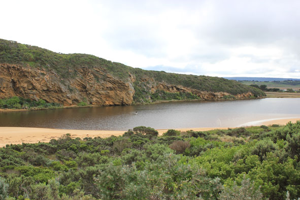
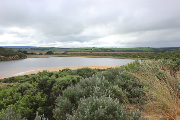
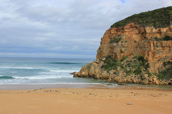
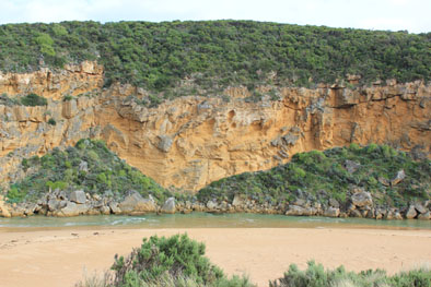
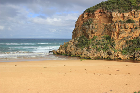
- Strong flowing dark discharge out over wide entrance, mainly around entrance but difficult to tell because of waves & foam
- Strong longshore drift, occasional small waves entering channel & estuary
- Ocean beach wide, level & covered with silt & foam (especially at east end
- Waves have been up to base of dunes during recent storm/rough sea (17/07/14)
- Sand spit at north end of channel has further extended into estuary
- Sand bar exposed & low track clear of water
|
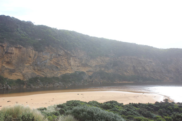
| #8995
|
11 Jul 2014
|
Approved |
Notes:
- Strong wide dark outflow out around mouth & long way to east, also to west. Dark water about 60m+ out to sea around mouth
- Waves entering mouth across a wide area, some travelling up along the channel into the estuary & turning to east despite strong out flow
- Waves occasionally up to base of dunes on ocean beach which is covered with increased dark silt & foam. Beach is levelled out with only slight rise
- Strong north wind bringing waves (10-30cm high) to south side of estuary
- High flood levels upstream but no water over any road
|
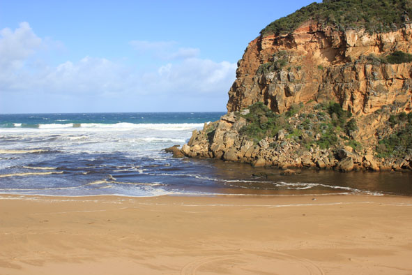
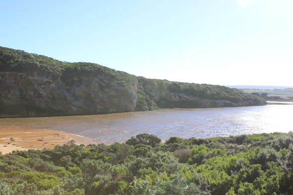
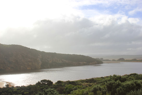
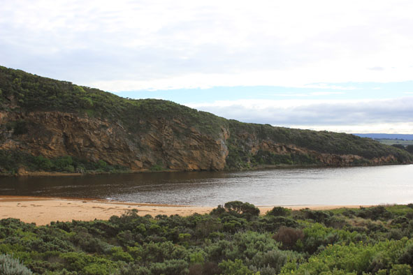
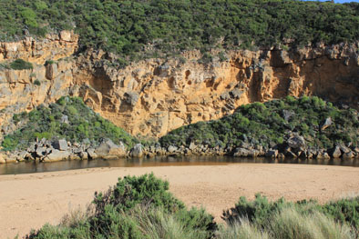
| #8992
|
5 Jul 2014
|
Approved |
Notes:
- Strong outflow -dark discharge around mouth & along foreshore to east
- Some waves entering travelling along channel into estuary where some go north over covered sandbar & others go to east along south side of estuary
- Signs of recent strong release of flood water, steep east side of channel & foam all along ocean beach with dark silt deposit at east end
- Ocean beach near mouth & east side of channel levelled out by recent rough seas
- Sand spit at north end of channel is protruding further into estuary
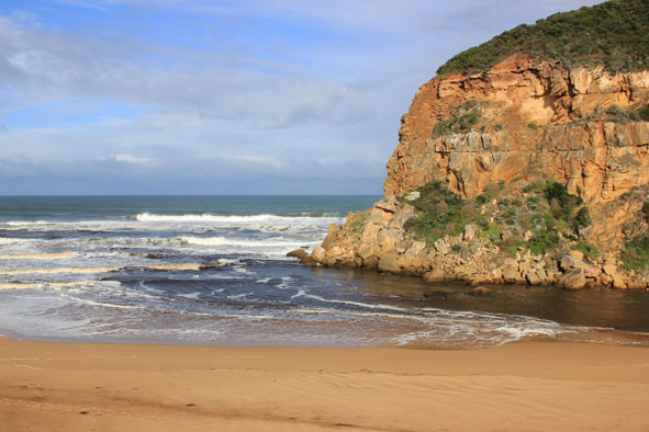
- Waves in all directions at mouth with whirlpool around rocks & active longshore drift
|
| #8973
|
27 Jun 2014
|
Approved |
Notes:
- Dark outflow around mouth
- Sand visible in breakers
- Longshore drift active
- Some waves completely across entrance & up to dunes on ocean beach but unable to travel up channel because of strong north wind producing waves over 30cm.high
- Extensive flooding of wetlands & flats but no water over any roads
- Water levels in estuary high, low track under water to car park -some water at edge of top track
- Very large, high mounds of debris along low track
- Hoary headed Grebes (2) in estuary
|
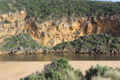
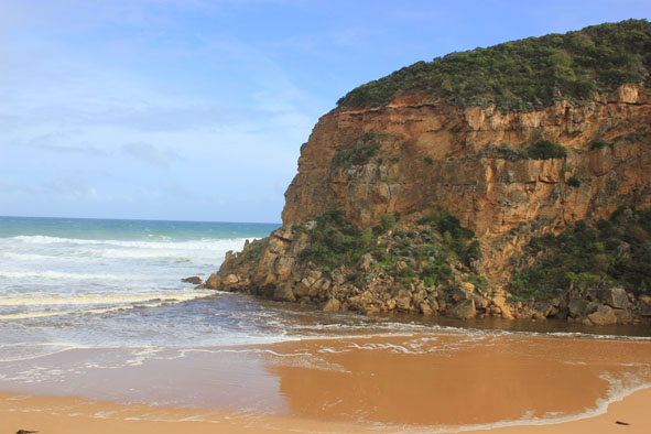
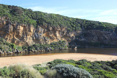
| #8965
|
25 Jun 2014
|
Approved |
Notes:
- Dark discharge out around mouth & east along foreshore(difficult to estimate because of waves & foam
- Longshore drift active
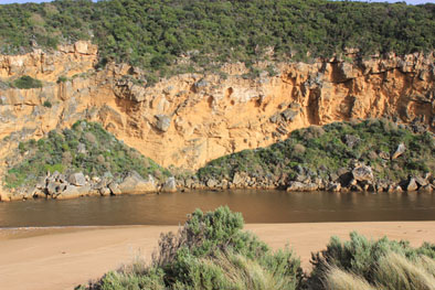
- Base of dunes at GP1 has been eroded (cut 1-2m.)
- Sand has built up around mouth & at northern end of channel (site of whirlpool 20140624) long spit extends north to near tunnel entrance
- Latrobe creek flooded as are wetlands up to G4 where water is just under the bridge decking
- Flooding upstream G4 with water over bank midway between G5&G4
- South side of channel at G5 under water but flats on north side have water only in lower areas
- Flooding starting from G5 to G6
|
| #8964
|
24 Jun 2014
|
Approved |
Notes:
-Waves over 1-2m. high along the channel & into the estuary where they turn to east & impact east side of estuary & reach car park
- Waves in all directions in channel with huge whirlpool near tunnel entrance -some over top of structure
- Flooding west end of camp ground & wetlands west & north, water forming on side of OCR
- Fishing platform under water
- Green water under bridge (G2) & upstream well past township
- Extreme winds have up rooted many very large trees & closed GOR
- Flood water just starting to come across OOR
|
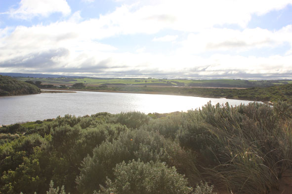
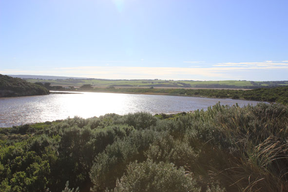
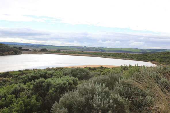
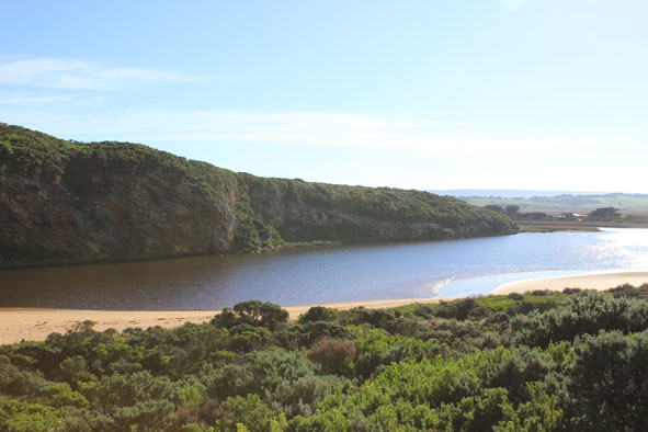
| #8956
|
21 Jun 2014
|
Approved |
Notes:
- Dark discharge out but only around mouth
- Waves entering channel & north across nearly covered sand bar mid estuary
& sand visible in large waves out to sea
- Sand highest at west end of ocean beach with high steep front to sea, further back there is a depressed lower area running down to ward mouth & channel
- Sandbar in estuary just under water, seaweed deposited along south side of estuary
- Very few signs of small fish in remaining shallow pools along low track
|
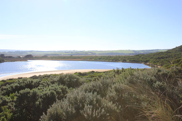
| #8953
|
13 Jun 2014
|
Approved |
Notes:
- Waves entering over wide area then travelling down channel, green water to near tunnel
- Rough sea, waves high up on beach, longshore drift across mouth
- Sand high at front of beach but drops lower further back into slight channel where water is travelling west back toward mouth
- Waves in estuary going north over covered sand bar but also swinging around to east, sand is building up in this area with increased projection into estuary
- Shell ducks 2. on south bank of estuary
|
| #8898
|
30 May 2014
|
Approved |
Notes:
- Waves entering channel across a wide area
- Waves in all directions at mouth-strong longshore drift across mouth & into channel upstream rocks
- Dark silt in swash line (also many Squid carapaces) along ocean beach & around mouth
- Last hi tide well up on beach & in estuary
- Sand highest near mouth but several depressed channels running back to the sea have occurred
- Longshore drift in both directions at east end of beach
- By 12:15 green water had moved up channel to near tunnel entrance
- Wide fluctuations on AHD board noted over 5 min. period
|
| #8881
|
23 May 2014
|
Approved |
Notes:
- Weak outflow around mouth & to east
- Waves entering channel & longshore drift active across that area
- More sand build up around mouth & along channel which is narrow & shallow
- Sand bar in estuary visible
- Flats upstream starting to become waterlogged with visible water cover in low areas & around drains
- 13 ml. rain at G6 22/05/14
|